


TOPO Hiking | CLIMBING7.COM
Publié le
 Partager sur WhatsApp
 Partager sur Twitter
Partager sur Instagram
Partager sur Twitter
Partager sur Instagram

 Partager sur Facebook
 Imprimer le topo
 Laisser un commentaire
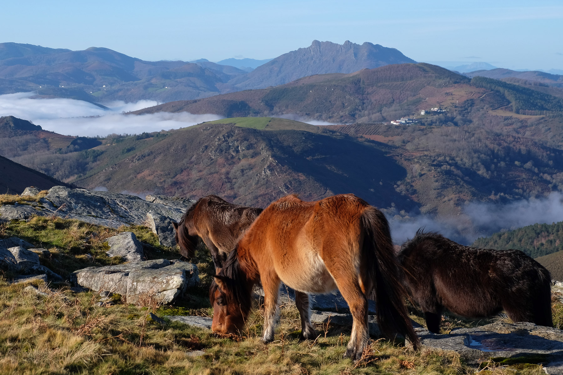
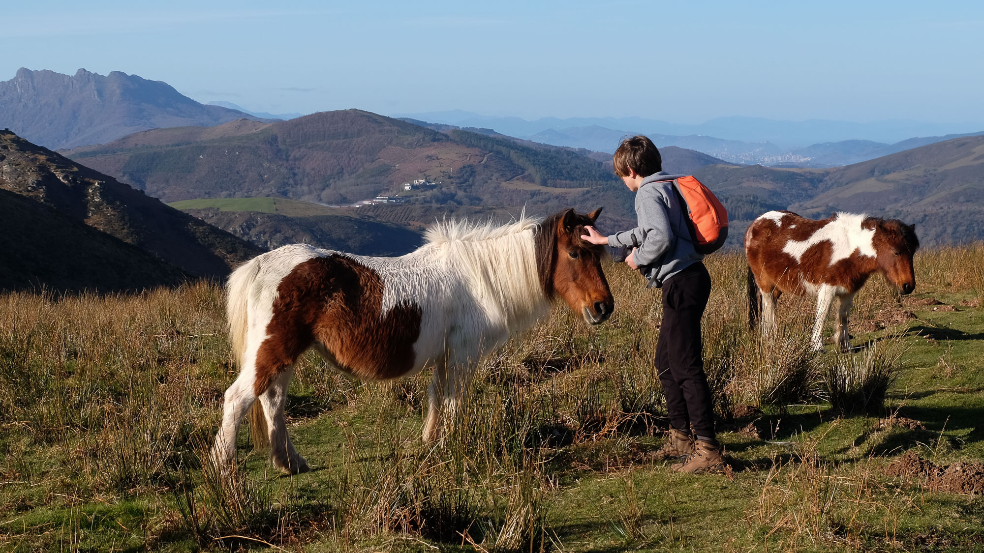
La Rhune, the first summit in the Atlantic Pyrenees, marks the start of the chain. A spectacular belvedere overlooking the Basque coast on both the Spanish and French sides, the route up to the summit offers magnificent panoramic views all along the way. With a series of loops that ultimately form an 8, the route is varied, avoids the tourist crowds and ends with a visit to the ruins of the Korakhandia star redoubt, archaeological remains of Napoleonic fortifications from the early 19th century. Not to mention encounters with splendid Pottoks.
❱❱ Technical summary
Type ✦ Hiking
Location ✦ Ascain, Basque Country
Region ✦ Pyrénées Atlantiques
Country ✦ France
Length ✦ 13kms
Vertical drop ✦ 760m
Difficulty ✦ MD
Max altitude ✦ 905m
Duration ✦ 4h to 5h
Interest ✦ ★★
❱❱ Access to the place
Go to Ascain, east of Saint-Jean de Luz. Drive south through the town. Go straight up a small road and park at the end, in the Carrières parking lot. There's an information panel with a map of the route on the WC hut.
❱❱ Map & topo
❱❱ Itinéraire
From the parking lot, head straight up into the woods to cut across and rejoin the track above. Take a second shortcut, then follow the track with some sharp bends. Climb gently towards La Rhune, which you can see fairly quickly. Further up, the return path comes from the bottom on the left. This is where the loop in 8 begins.
The route follows a series of well-marked paths, with the main route wide and busy, and the loops on the outward and return routes more discreet and less crowded. It's hard to get lost, but a map or GPS plotter is very useful at crossroads or changes of direction. The difficulty is reasonable in terms of distance and altitude difference, only the descent on the west side of La Rhune is steeper and can be impressive.
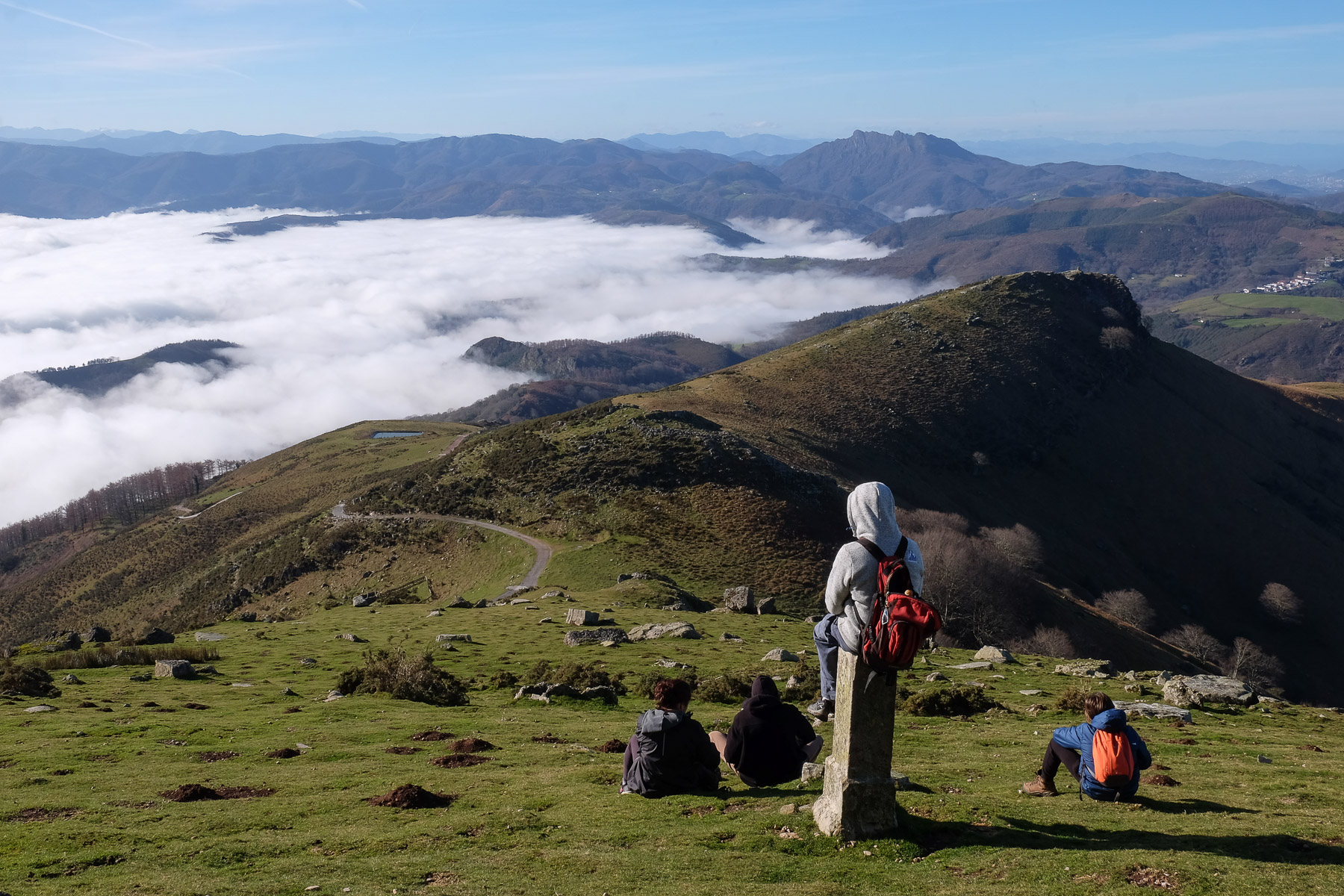
Follow the wide track as it rises and bends to the west. You'll find yourself on a wide grassy plateau overlooking the plain and the coast in the distance. Keep to the right, almost skirting the edge of the depression. You finally reach a lookout with an orri and a small stone table in the middle. First panoramic views of the coast and the Spanish Basque country.
From here, continue along the edge, but at an angle towards La Rhune. The path crosses then passes between boulders before descending to a flat area where paths cross. You're now at the foot of the peak.
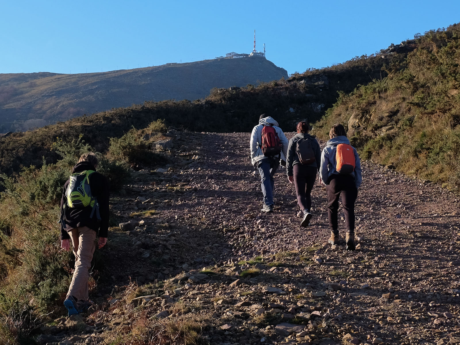
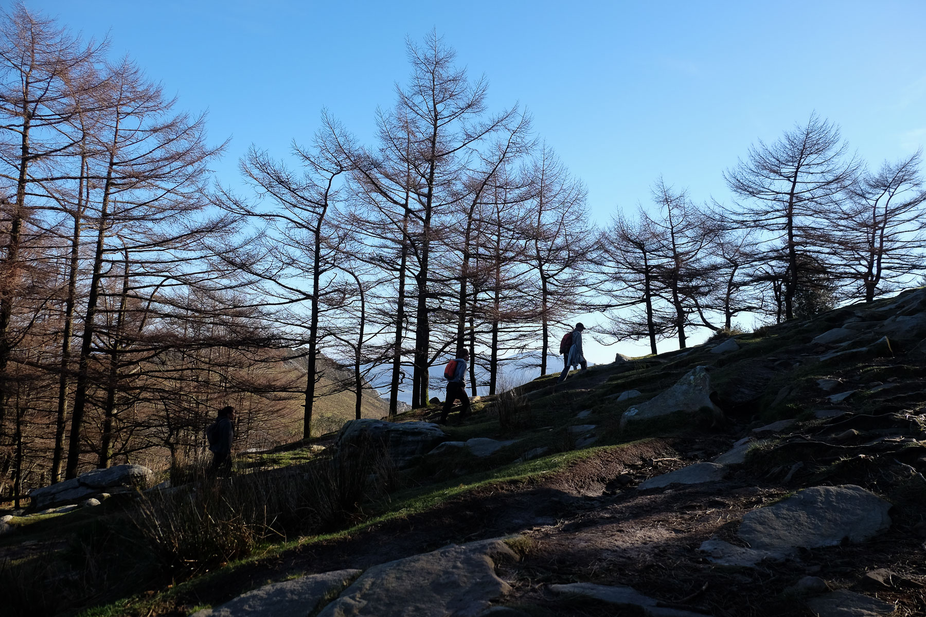
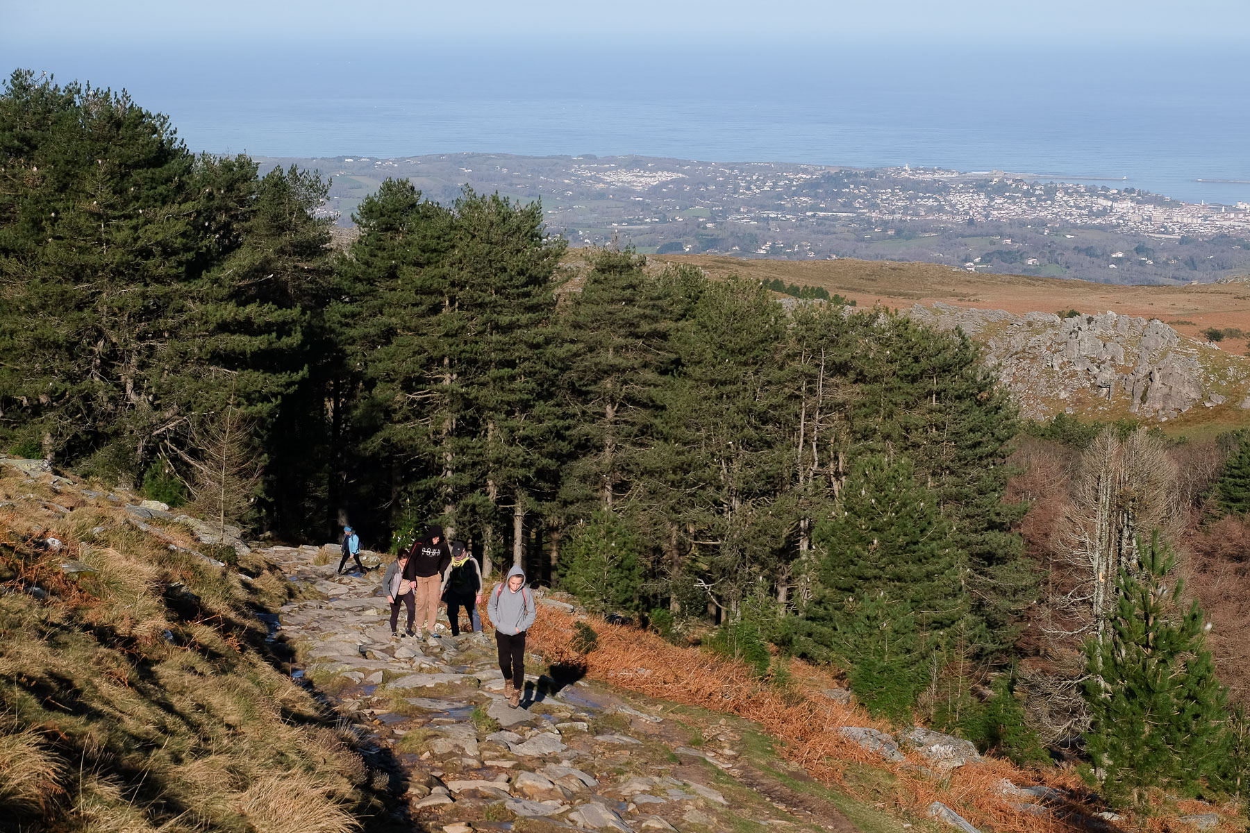
Climb the main path, much wider and well used by hikers or trailers. It climbs up through the forest, then out in the open, steeper and steeper, with a series of switchbacks. At the very top, aiming for the summit buildings, you finally reach the end of the rack rails.
A few more steps and the top platform under the large antenna. 905m, 360° view over the whole region. We're right on the French-Spanish border.
From the summit, behind the antenna on the west side, descend steeply on the mini-trail that zigzags through the rocks. It's quite steep, and you'll need to use your hands in several places. It's aerial and a little exposed in places, but not technically difficult.
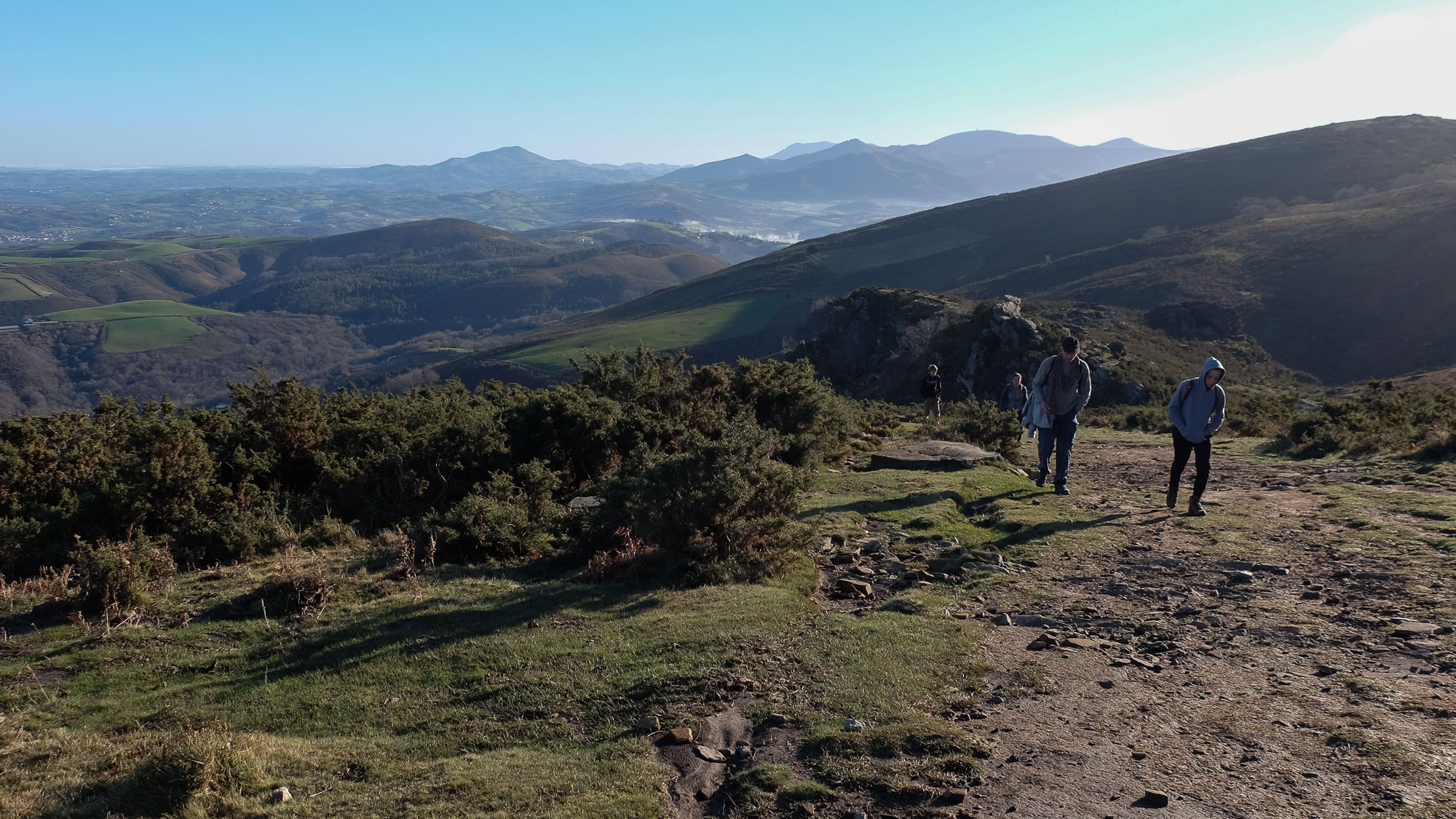
Further down, past the rocky ledges, descend the slope to reach the pass between La Rhune and La Petite Rhune. From the pass, turn right and descend on a well-marked path which then crosses the slope to return under La Rhuen. Starting out in the open, you then pass through the forest to finally reach the starting crossroads at the foot of the peak.
Descend a little on the uphill path, then in the hollow, fork due east through a forest. Further on, on open ground, cross a stream on a small bridge and climb back up, staying high.
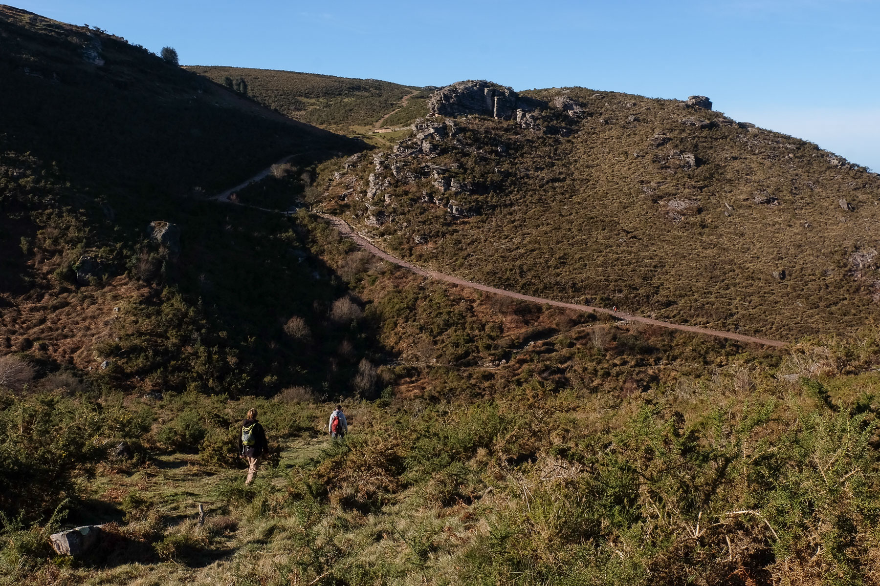
You then pass over a ridge to regain the panoramic view over the plain. Then head due east again to walk to the ruins of the 18th-century fortifications: the Korlhandia starry redoubt.
From here, you can easily improvise a way back down to the west. At the bottom, we cross the same torrent again to climb a little and find a wide grassy path. Follow it down into a valley, cross another stream and then climb back up to join the approach trail at the start of the loop.
Take the same wide path with shortcuts at the end to finish at the start parking lot.


Leave a Reply