


TOPO Ski Touring | CLIMBING7.COM
Publié le
 Partager sur WhatsApp
 Partager sur Twitter
Partager sur Instagram
Partager sur Twitter
Partager sur Instagram

 Partager sur Facebook
 Imprimer le topo
 Laisser un commentaire
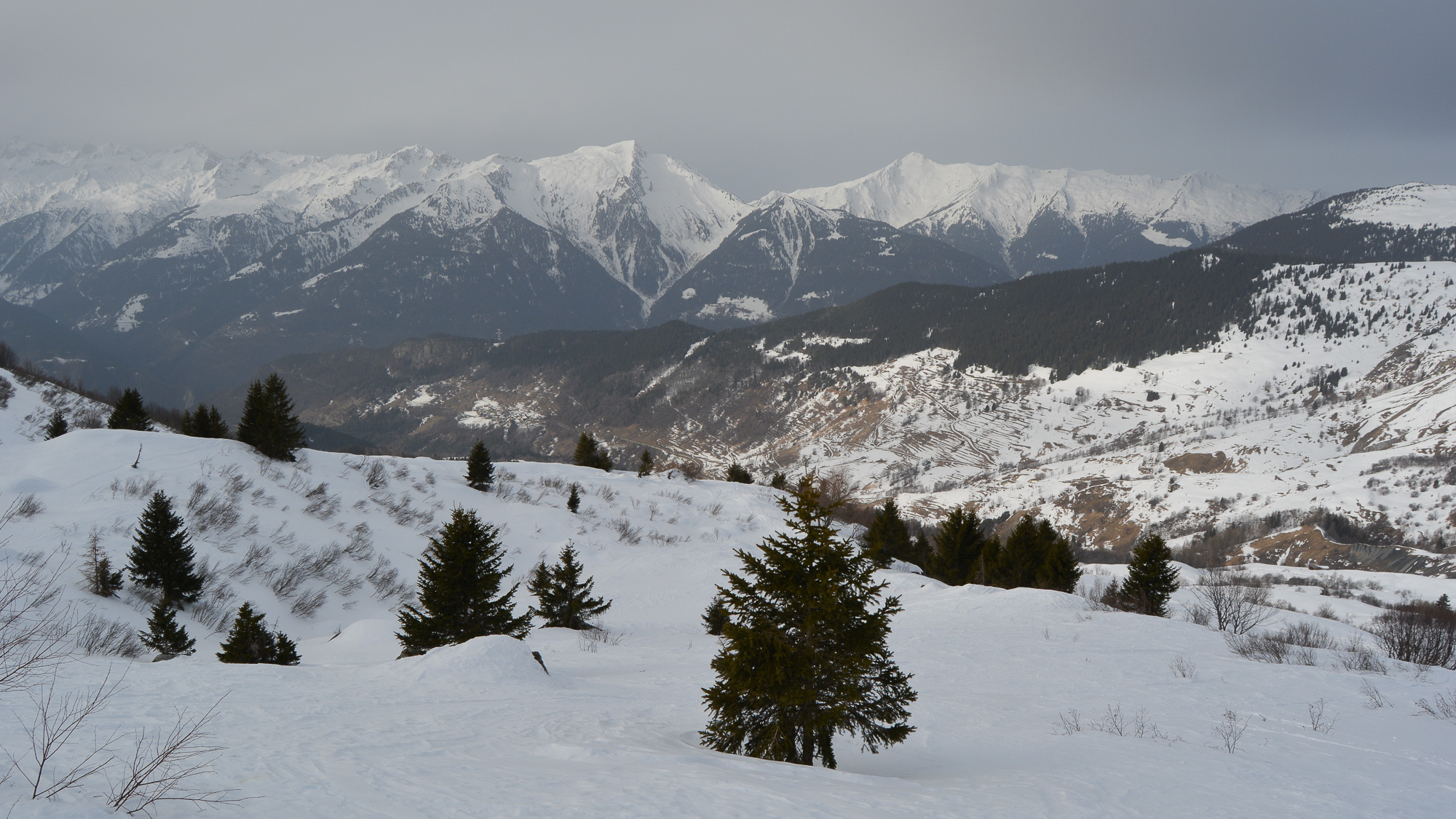
Le Quermoz is a local classic, starting from Grand Naves in the Beaufortain massif. In addition to its superb panoramic views, it offers access to beautiful valleys on the east side, which are very lightly skied, even if this lengthens the hike and the altitude difference. Other routes are possible, either aiming directly for the Col du Va, again with the possibility of skiing east towards La Combe, or taking the long loop via the Pointe du Dzonfié.
❱❱ Technical summary
Type ✦ Ski touring
Location ✦ Grand Naves, Moutier
Region ✦ Massif du Beaufortain, Savoie
Country ✦ France
Direction ✦ West/East
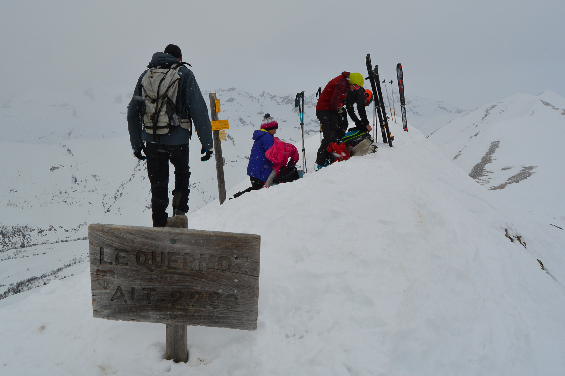
Max altitude ✦ 2296m
Ascent length ✦ 5.4km (summit)
Vertical drop ✦ 1000m (1450m if east valley)
Difficulty ✦ R-2.3-E1
Maximum gradient ✦ 35°.
Duration ✦ 5h to 6h
Interest ✦ ★★
❱❱ Access to the place
On the N90 road between Albertville and Moutier, exit at Grand Aigueblanche and climb to Grand Naves. After the village, park in the parking lot at 1330m.
❱❱ Map & topo
❱❱ Itinéraire
From the parking lot, climb right through the fir trees to reach the cross-country ski plateau after a fairly steep section.
An ascent in the shade to reach the ridge that leads to the summit of Quermoz, then a worthwhile option: descend the valley below the summit to find beautiful, often untouched snowfields. Not too difficult on the way up, with a small couloir at the summit at perhaps 40° and the rest at 35° maximum.
The ascent route described is probably not the best. On the cross-country ski plateau and before the 1st hut, it should be possible to climb in an open area to reach the Chalet Bozon and then the Passage du Bozon, which allows you to attack the ridge from the beginning.
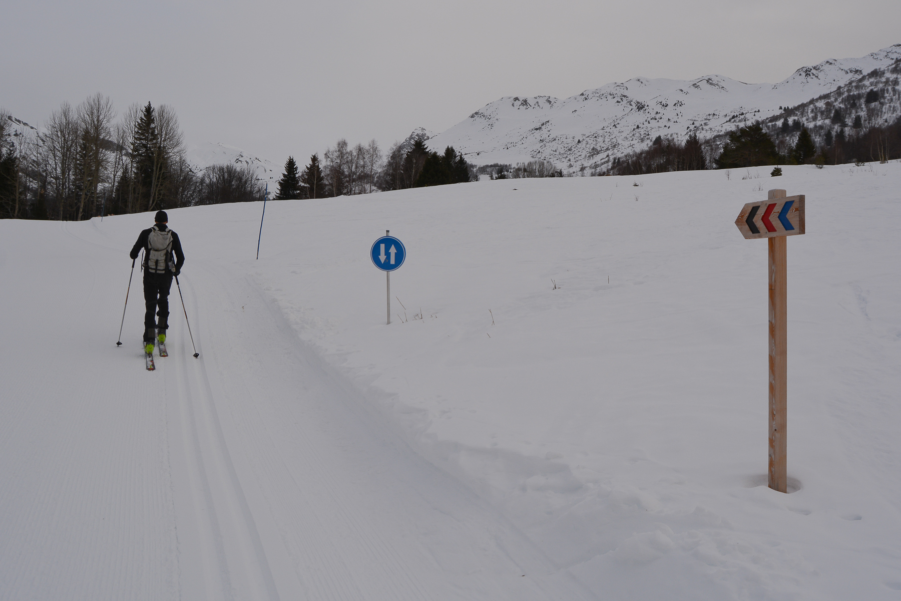
Follow the tracks to the right or left to reach the cross-country ski plateau some 200m above the village. From here, head northeast, crossing the cross-country ski trails several times. Pass the first hut and continue upwards, skirting the forest until you reach the Forclaz hut below the Quermoz summit.
From here, head south-east to cross the combe below Le Quermoz and join the ridge coming up from the south, above the Passage du Bozon.
Simply climb up the wide ridge that gradually leads to the summit of Le Quermoz, which can be seen fairly quickly. Stay on the ridge to avoid a small final couloir on the south side. The last 100m, depending on snow conditions, can be covered on foot. From the summit, not so wide, panoramic views (weather permitting...).
As quickly as possible, follow the ridge to find a steep couloir (40°?) which joins a north-east-facing slope (35°). At the bottom, you can opt for a direct route to the Col de Va, with about 50m of ascent.
Alternatively, option B, head down the valley to find one of the prettiest slopes below, with a good chance of being untouched. Given the conditions, there's plenty of powder to go around! We pass the wide path leading down to La Combe. We've stopped at 1780m before the forest limit.
Now we have to climb back up 450m to the Col du Va by more or less the same route (we tried to return via the valley above La Combe, but ended up skiing back into the valley).
From the Col du Va, descend due west on a wide slope, quite steep at first but gentler below. Remember to turn left from time to time to find the Forclaz hut and then the other huts you passed on the way up.
You finally reach the cross-country skiing plateau. Follow the cross-country ski trail from time to time to cross over to the 1st hut where, a little further on, you can descend directly to the village, passing through open areas in the forest.


Leave a Reply