


TOPO Ski Touring | CLIMBING7.COM
Publié le
 Partager sur WhatsApp
 Partager sur Twitter
Partager sur Instagram
Partager sur Twitter
Partager sur Instagram

 Partager sur Facebook
 Imprimer le topo
 Laisser un commentaire
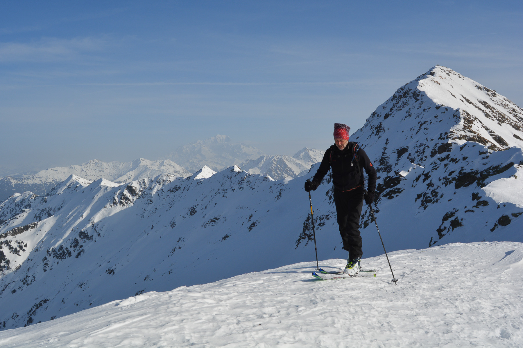
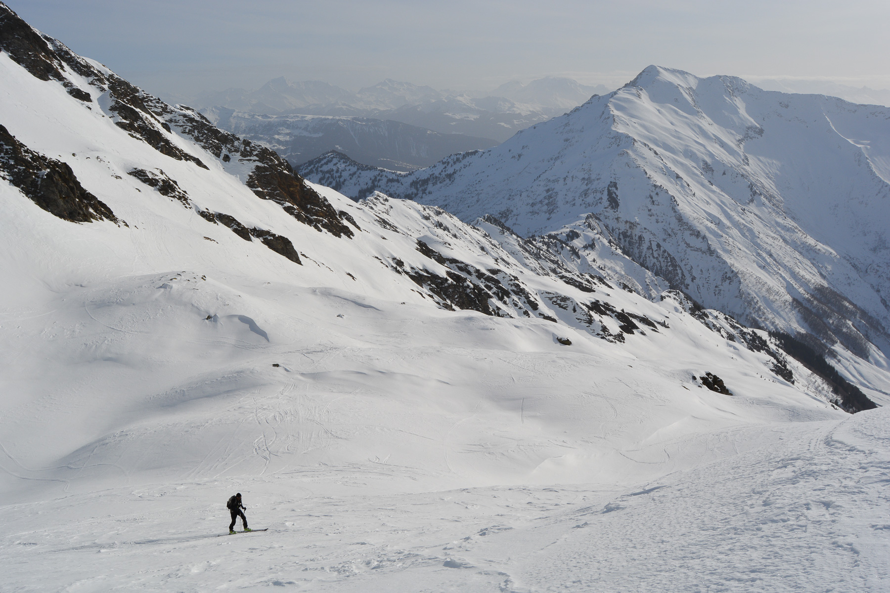
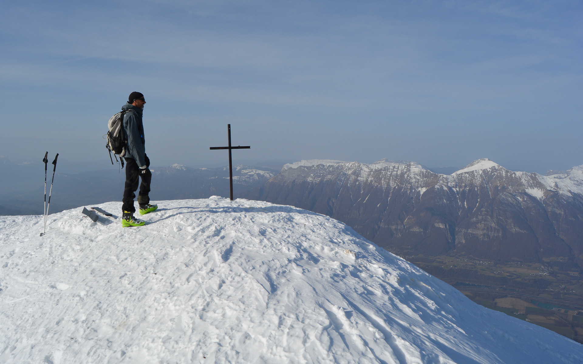
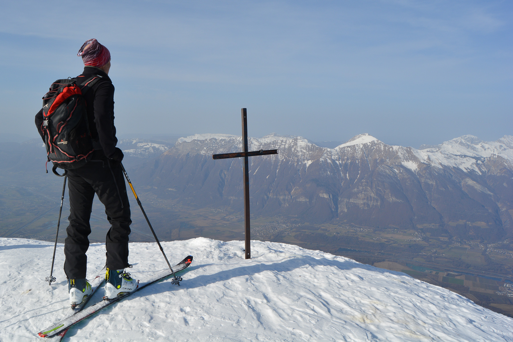
Setting off for the Grand Arc, today's race ends at the Petit Arc, on one of the summits of the Lauzière massif. The ascent along the Grand Arc route is sustained, and before the final combe, the ridges leading to Petit Arc are reached by heading further west. From here, a spectacular panorama and a direct view of the Bauges massif to the north and the nearby Mont Blanc massif to the east. If you ski along the southern ridge, you can take advantage of the beautiful east-facing slopes near Lac Noir.
❱❱ Technical summary
Type ✦ Ski touring
Location ✦ Tioulévé, Aiguebelle
Region ✦ Massif de la Lauzière, Savoie
Country ✦ France
Orientation ✦ South/East
Max altitude ✦ 2365m
Ascent length ✦ 5.7km (summit)
Vertical drop ✦ 1100m
Difficulty ✦ F-3.3-E2 (?)
Max. gradient ✦ 35° (?)
Duration ✦ 3h to 4h
Interest ✦ ★★
❱❱ Access to the place
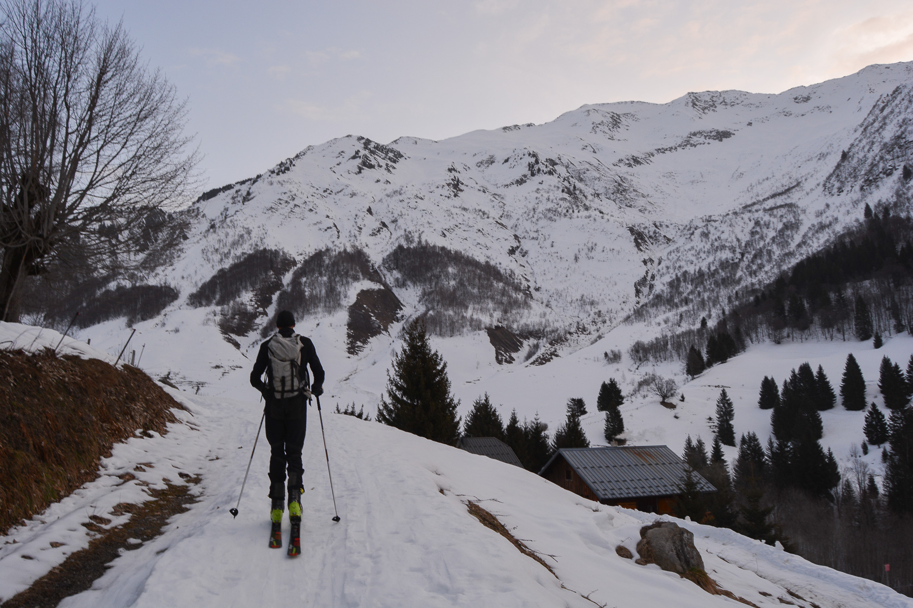
Between Albertville and Saint-Jean-de-Maurienne, exit at Aiguebelle and climb east to Montsapey. Continue up the valley to the last hamlet at the end of the road: Tioulévé or Lieulévé (1260m).
❱❱ Map & topo
❱❱ Itinéraire
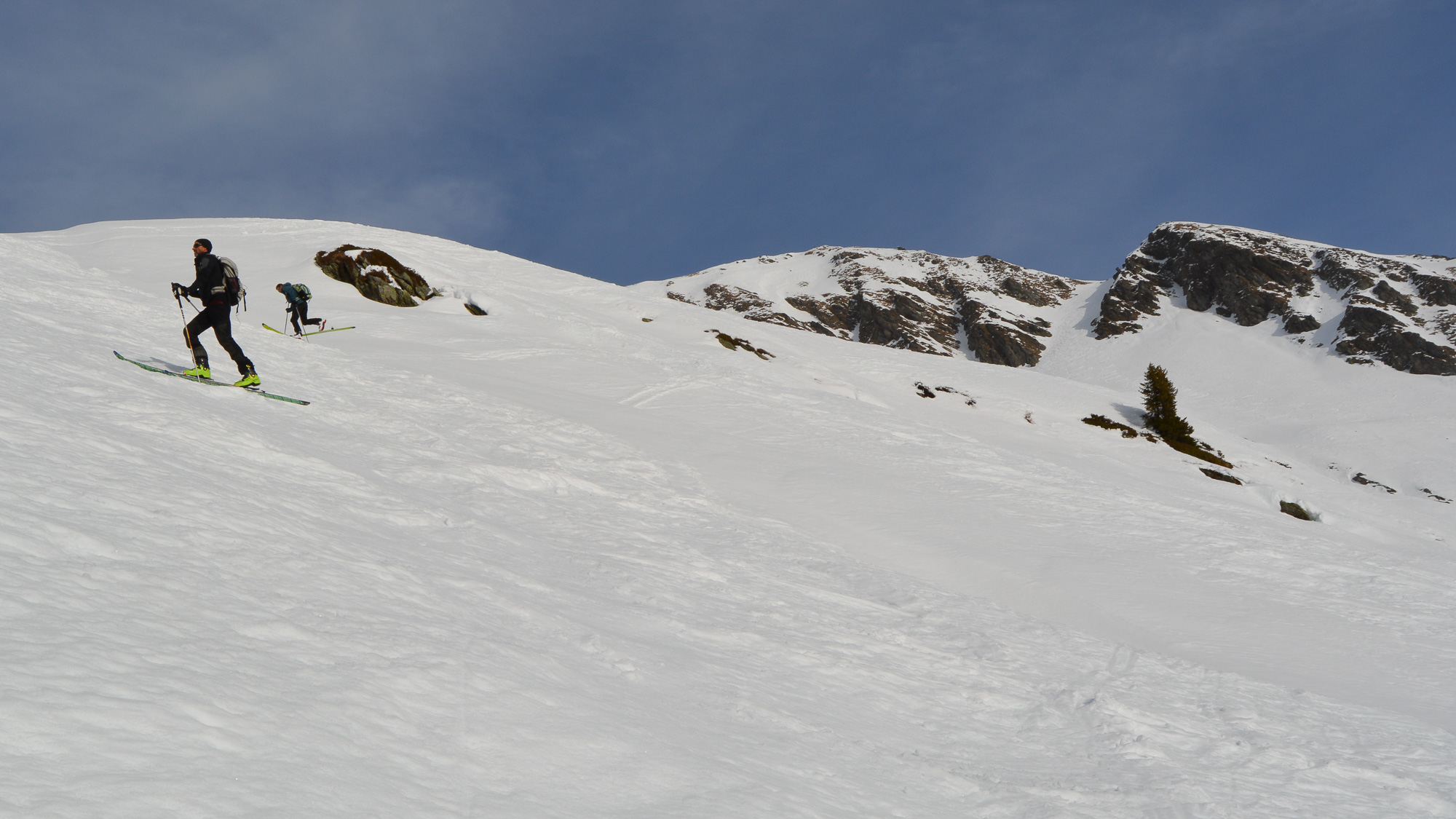
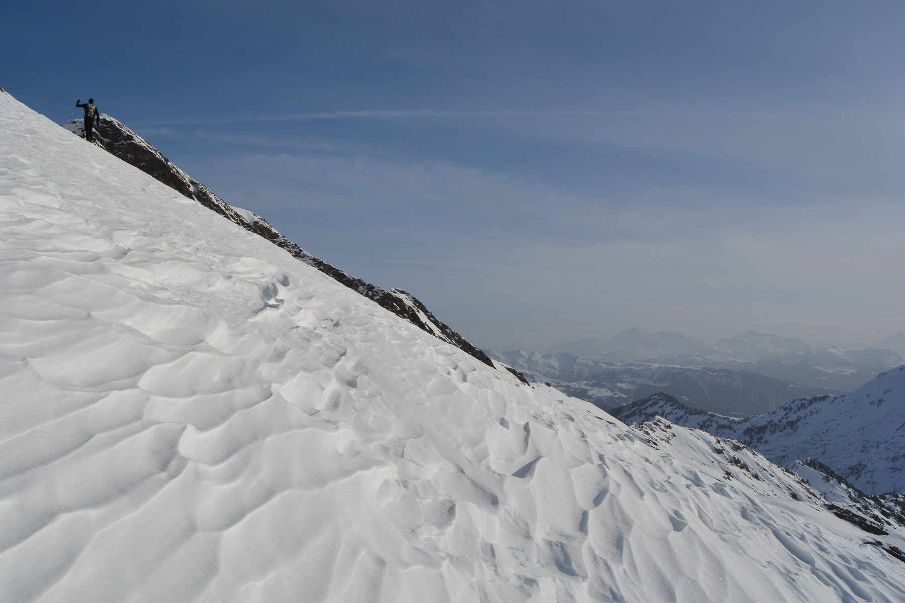
Take the Grand Arc path that climbs north from the end of the road and follow it through the forest. Climbing steadily northwards, the path curves around to enter a valley of the Ruisseau du Lac Noir, which turns north-west until it faces the valley floor, showing the way up.
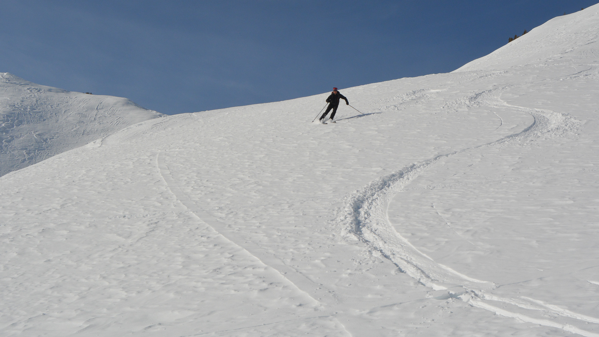
Having originally set out for the Grand Arc, the route described below is probably not the classic itinerary for the Petit Arc. But it does have the advantage of forming a loop and allowing us to ski on a different route from the one we took on the way up, which is quite worn out by the tracks of the many hikers...
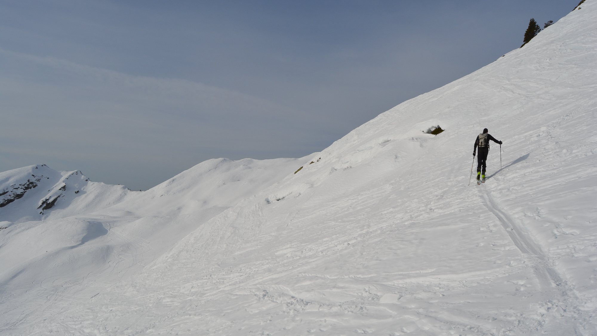
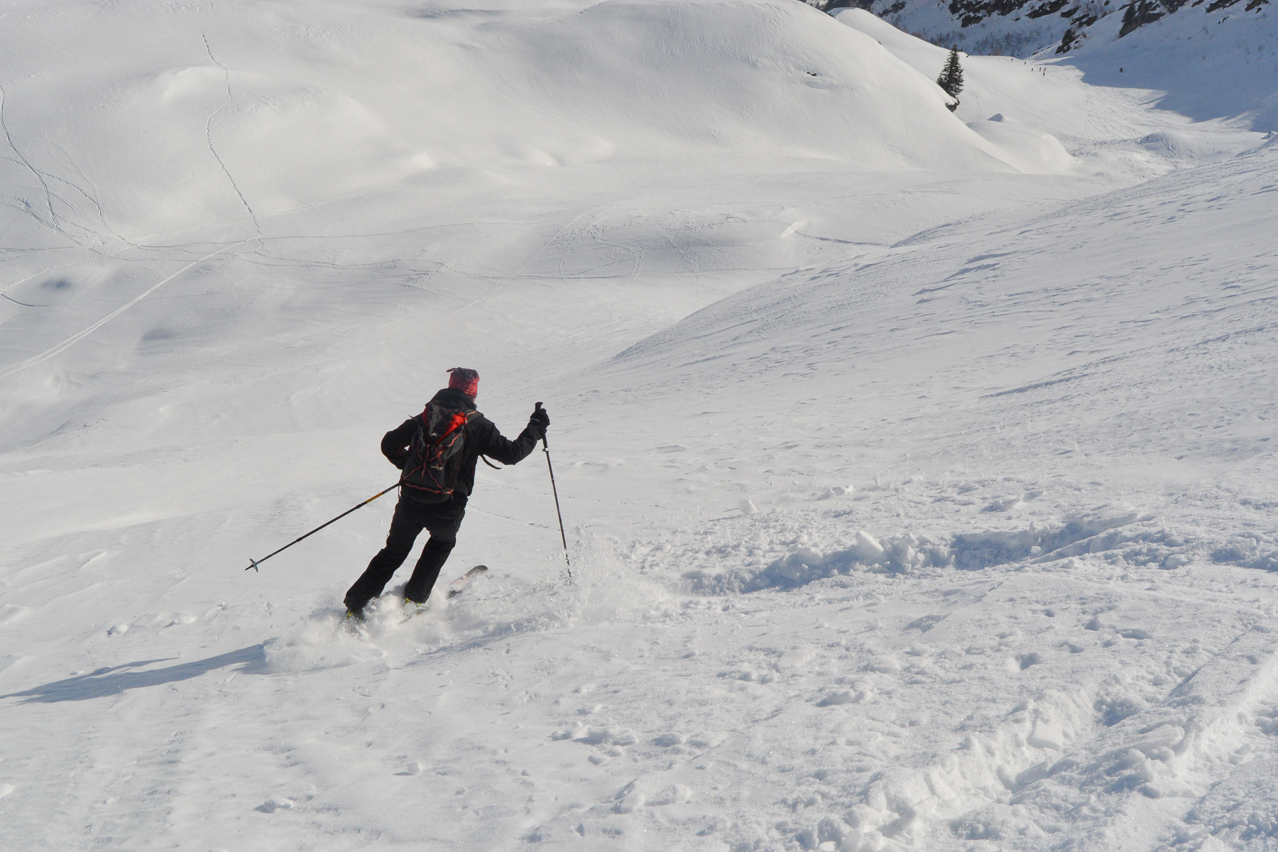
Although not very difficult, the ascent is sustained and quite steep in many places, with numerous conversions. On the way down, the start on the south side to reach the ridges is steep and airy.


Leave a Reply