


TOPO Ski Touring | CLIMBING7.COM
Publié le
 Partager sur WhatsApp
 Partager sur Twitter
Partager sur Instagram
Partager sur Twitter
Partager sur Instagram

 Partager sur Facebook
 Imprimer le topo
 Laisser un commentaire

A magnificent day's skiing to reach the Dormillouse ridge, the border with Italy. A long approach, a sustained ascent along the banks of the Joan ravine and a spectacular panorama from the crest at over 2700m. Views of the Écrins, the Meije massif and the Italian Alps. The valley leading to the Fonts de Cervières refuge is splendid, especially in these snowy, fine weather conditions. It's a great route that can be extended by climbing to the Cima Dormillouse or even the Pic de Terre noire 3100m. It's a beautiful, magnificent walk, provided the snow and weather conditions are right!
❱❱ Technical summary
Type ✦ Ski touring
Location ✦ Cervières, Le Bourget
Region ✦ Hautes-Alpes
Country ✦ France
Direction ✦ West
Max altitude ✦ 2730m
Length of ascent ✦ 8km (return point)
Vertical drop ✦ 1100m
Difficulty ✦ R-2.3-E1
Max. gradient ✦ 30
Duration ✦ 4h to 5h
Interest ✦ ★★
❱❱ Access to the place
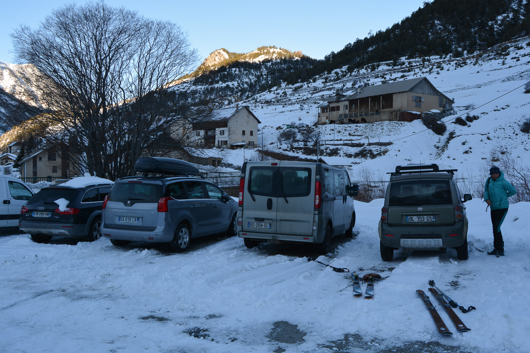
From Briançon, take the D902 up to Cervières. On the hairpin bend below the village, park in the parking lot on the left bank of the Cerveyrette torrent.
❱❱ Map & topo
❱❱ Itinéraire
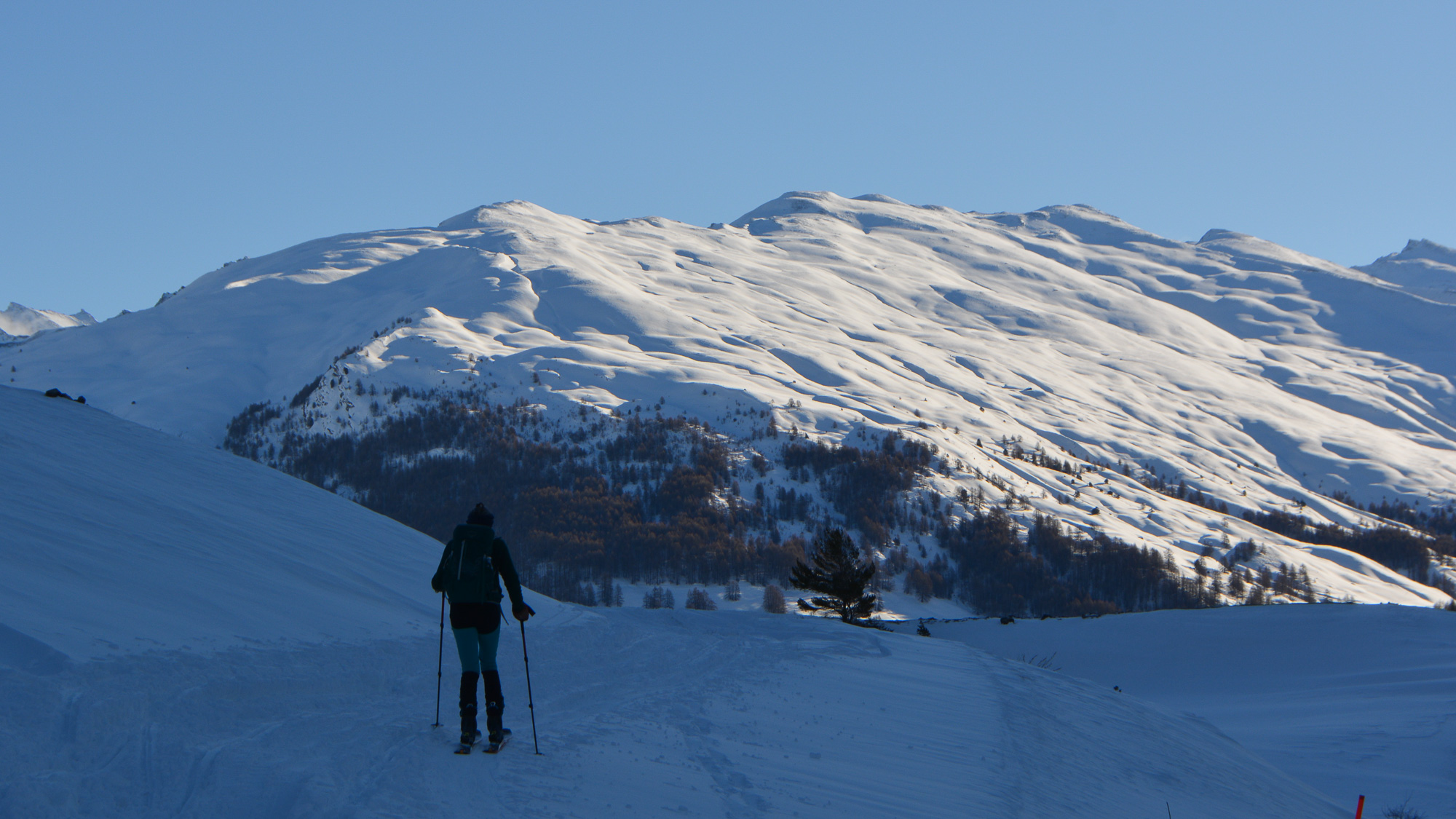
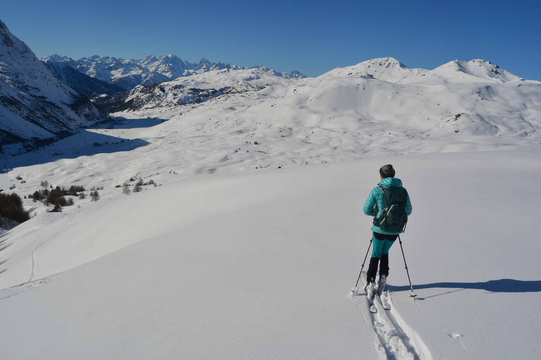
A long one! Climb the snow track which, after a few bends, gradually opens out into the upper valley. You can soon see the Dormillouse ridge and the path ahead. The slope drops a little and then you're on flat ground due east. You pass under groups of chalets. Keep going until you pass a small church, where you turn north-east towards the Joan ravine, the start of the ascent. You're now level with the Bourget chalets.
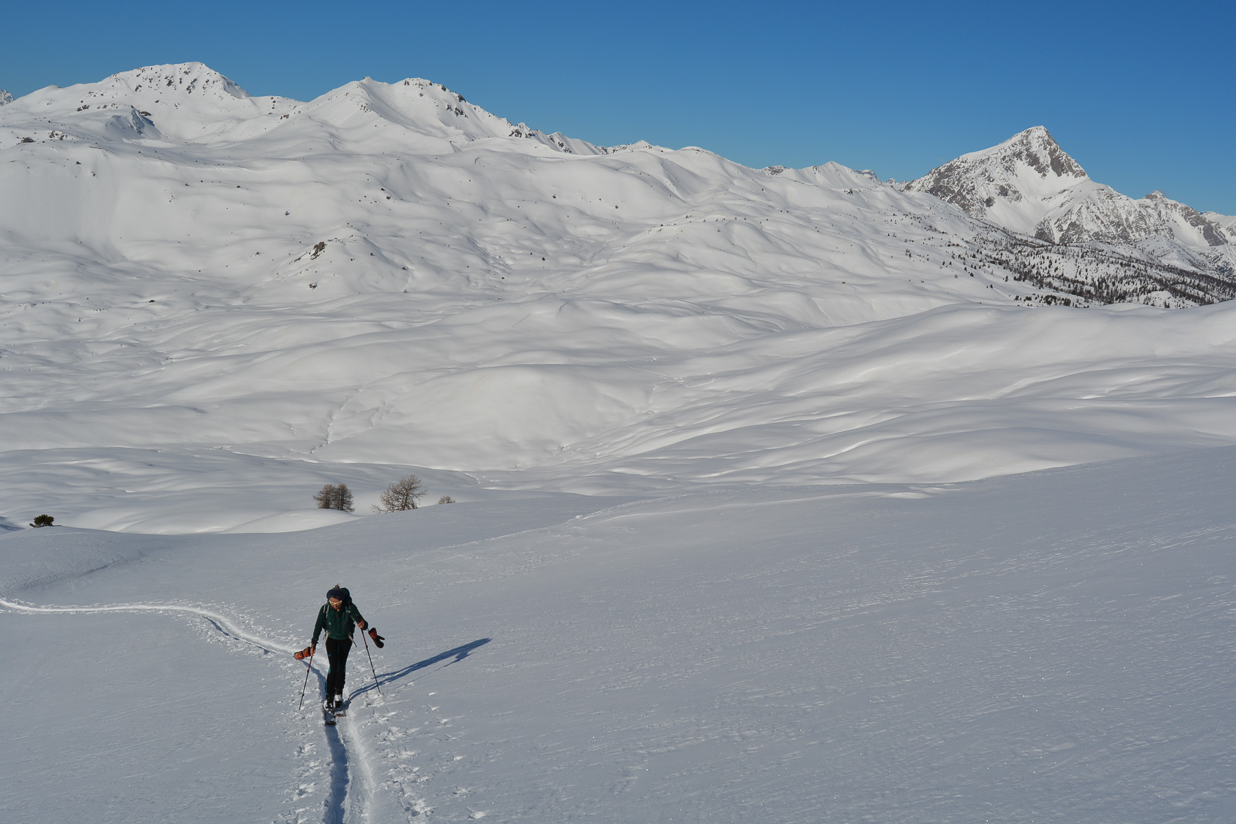
Simple, but also quite long and therefore more demanding. The idea is to reach the ridges by following Joan's ravine, which is rather exposed to the north-west. It climbs in successive steps, but the overall gradient is quite steep. The effort is continuous and you finally emerge at the start of the ridges, with a view of the valley floor coming into view.
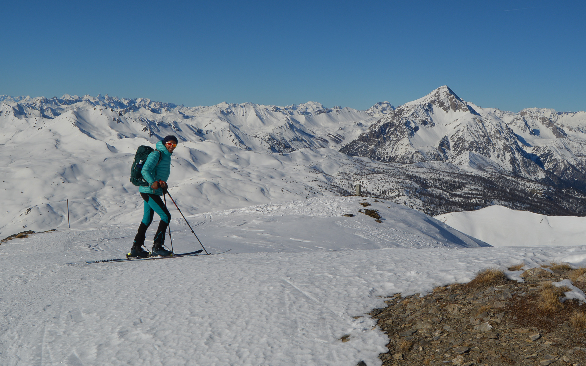
From here, the ideal route seems to be to climb straight up to the ridge, rather than crossing below (unless you intend to go all the way to the Pic de Terre Noire, perhaps?). We're there in no time, and the view is splendid: on one side the Italian Alps and on the other the Cervières valley, with the Écrins and Meije massifs in the background.
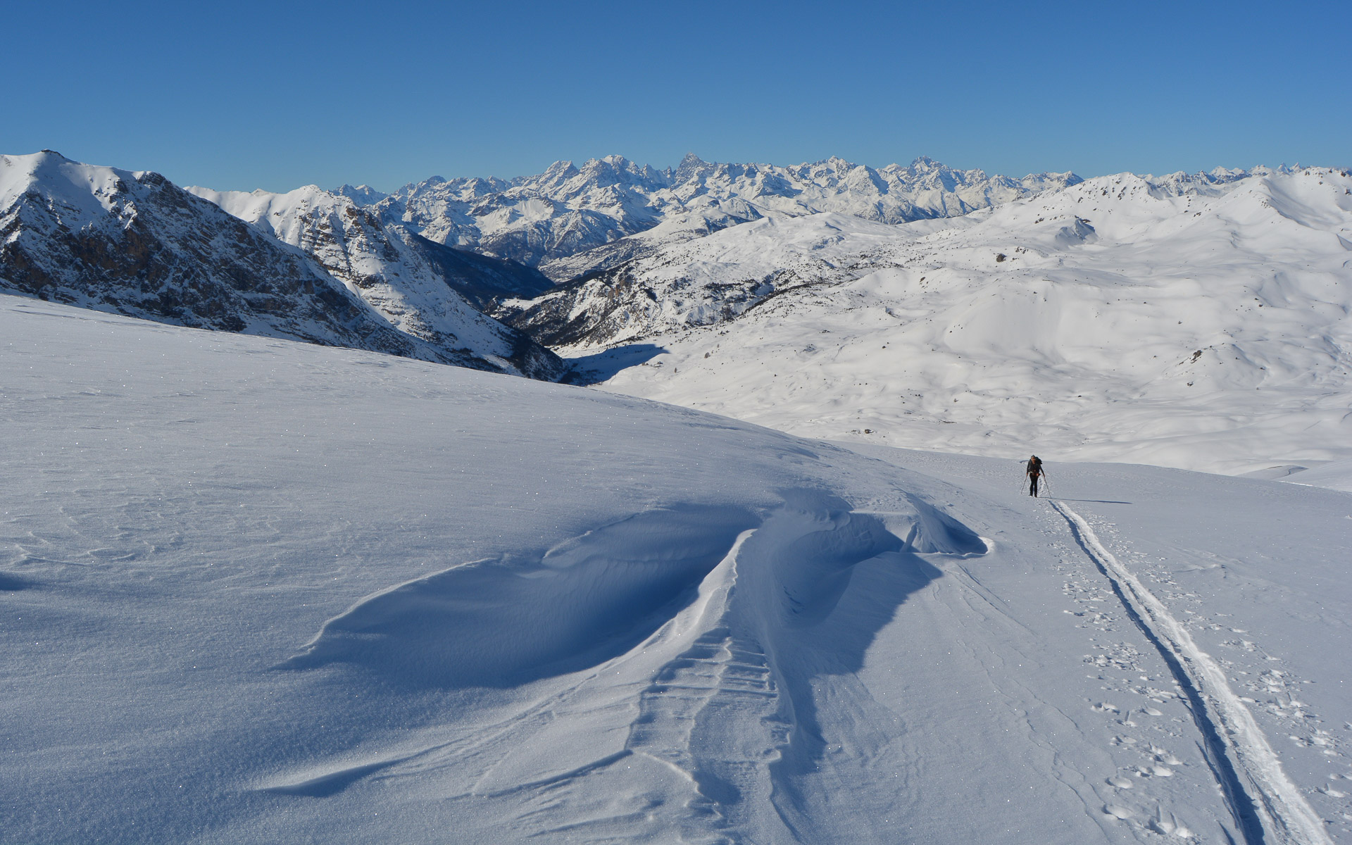
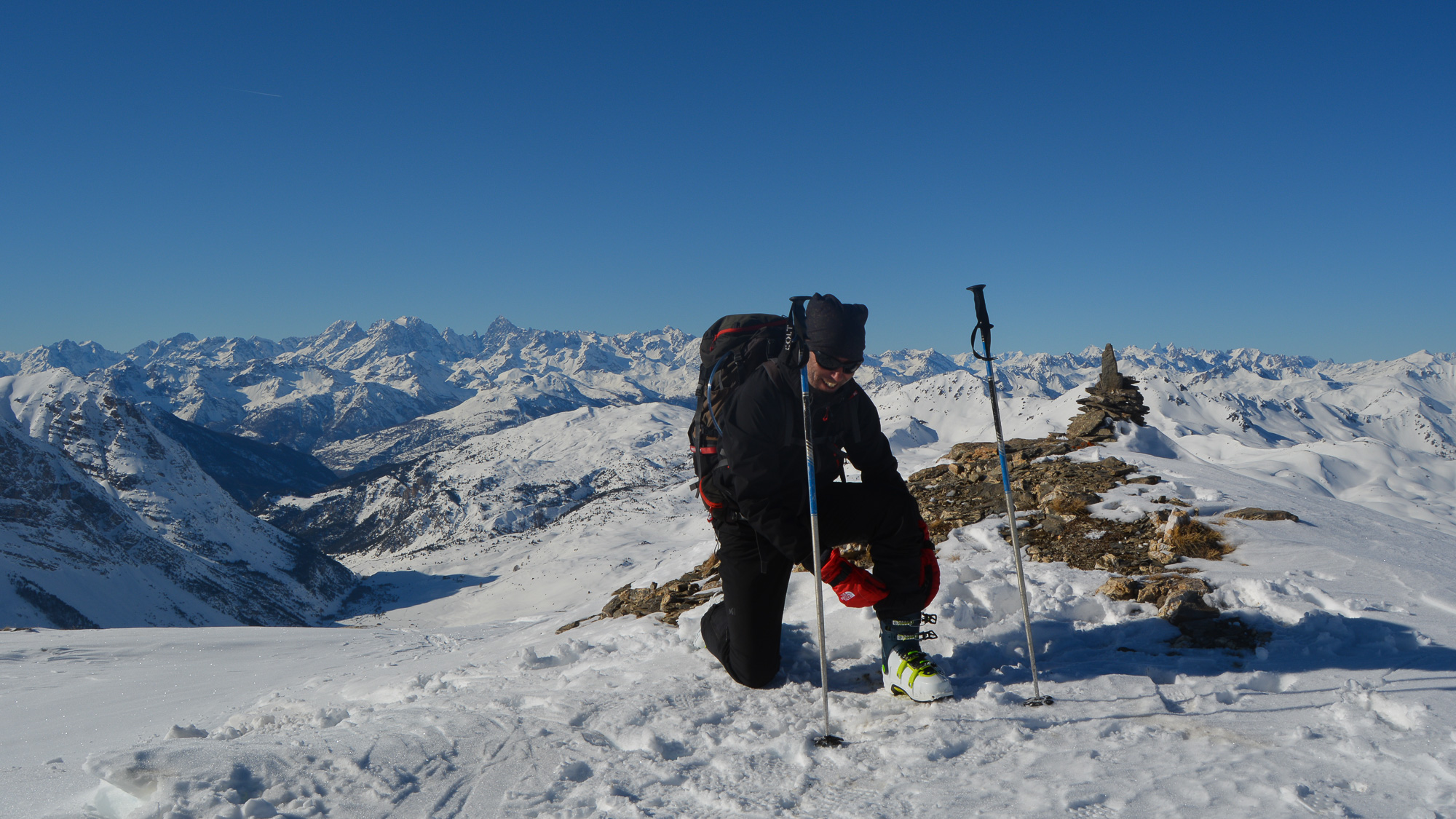
We stopped at the first small summit at around 2730m, a little crevassed... To go any further, we'd have to descend a little further and climb back up to the Cima Dormillouse, which can be seen in the distance. Reaching the Pic de la Terre Noire looks really difficult during the day, unless you plan to descend to the south and spend the night at the Font de Cervières refuge. From there, other routes are possible: Grand Glaiza, Pic de Malrif, Cime de la Charvie.
Slide down the ridge to return to the top of the slopes to the right of the Joan ravine. Here you'll find some nice slopes to ski, preferably staying to the left where the snow has been less exposed (if transformation). At the bottom, the slopes are less accentuated but remain skiable until you reach the bottom and the Bourget chalets.
Long, but fortunately the scenery was superb and the conditions perfect! It's time to put on our skins again to walk on flat ground and cross the plateau. It's a bit of a climb before we end up skiing on the snow-covered piste back to the start parking lot.


Leave a Reply