


TOPO Snowshoeing | CLIMBING7.COM
Publié le
 Partager sur WhatsApp
 Partager sur Twitter
Partager sur Instagram
Partager sur Twitter
Partager sur Instagram

 Partager sur Facebook
 Imprimer le topo
 Laisser un commentaire

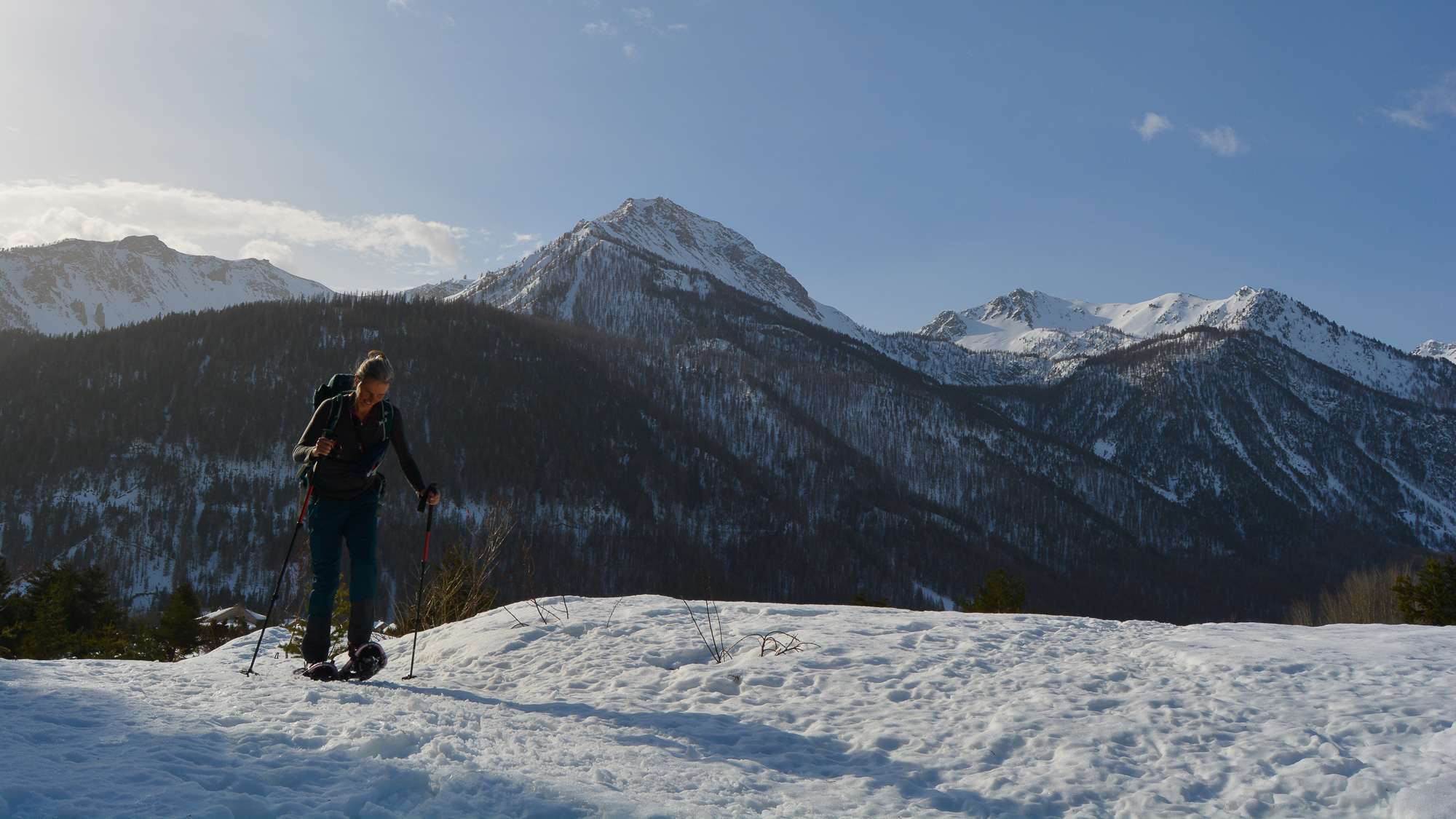
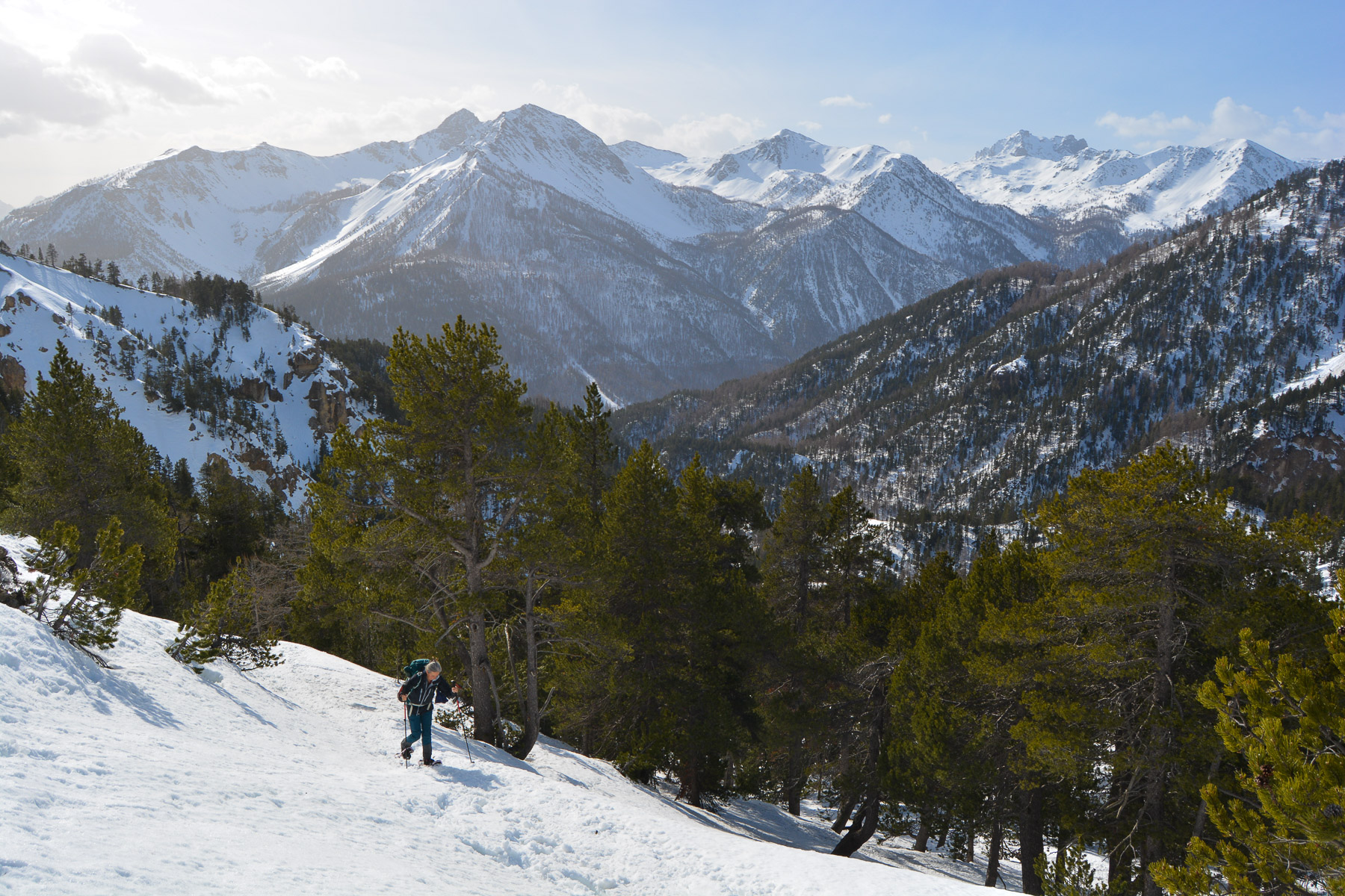
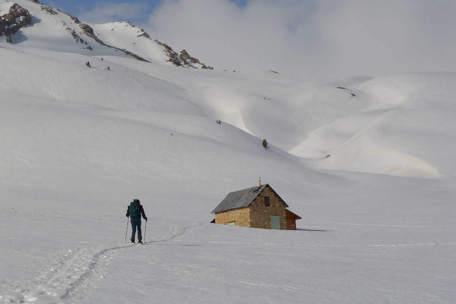
In the famous Névache valley, a remote corner of the Hautes-Alpes on the Italian border, a beautiful snowshoe ascent from Roubion leads to the Thures plateau, at over 2000m. The day's fierce wind prevented us from continuing up to the Col des Thures, but from the Thures pastoral hut (2105m), we were still able to quickly admire the 3 points of the Three Wise Men: Gaspard, Melchior and Balthazar. With more time and better weather, the descent into the Vallée Étroite to Les Granges is conceivable, with a possible return via the Col de l'Échelle.
❱❱ Technical summary
Type ✦ Snowshoe hiking
Location ✦ Roubion, Névache Valley
Region ✦ Hautes-Alpes
Country ✦ France
Length ✦ 8kms
Vertical rise ✦ 460m
Difficulty ✦ MD
Max altitude ✦ 2105m
Duration ✦ 2h30 to 3h
Interest ✦ ★
❱❱ Access to the place
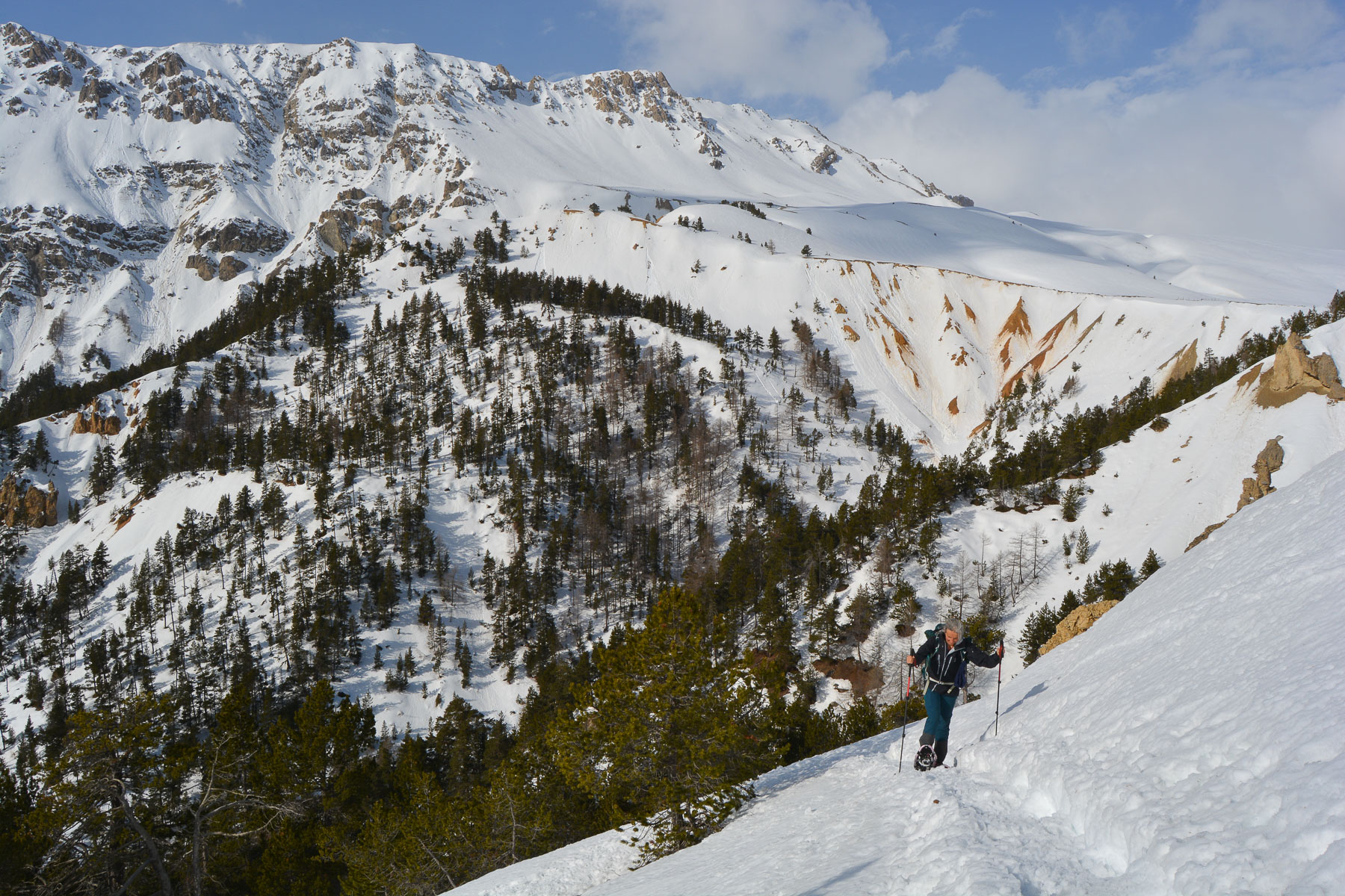
From Briançon, take the N94 towards Montgenèvre and the Italian border. Turn left towards the Névache valley, passing Le Rosier, Plampinet and, just before reaching Névache, turn left to reach the village of Roubion. Park at the top of the village. You can see the caves leading up to the Col des Thures, with their distinctive orange geological formations on the right.
❱❱ Map & topo
Topo extracted from La Clarée l'hiver, Pas à Pas. Balade en raquettes, a guide by JM.Neveu and M.Channel 2004.

❱❱ Itinéraire
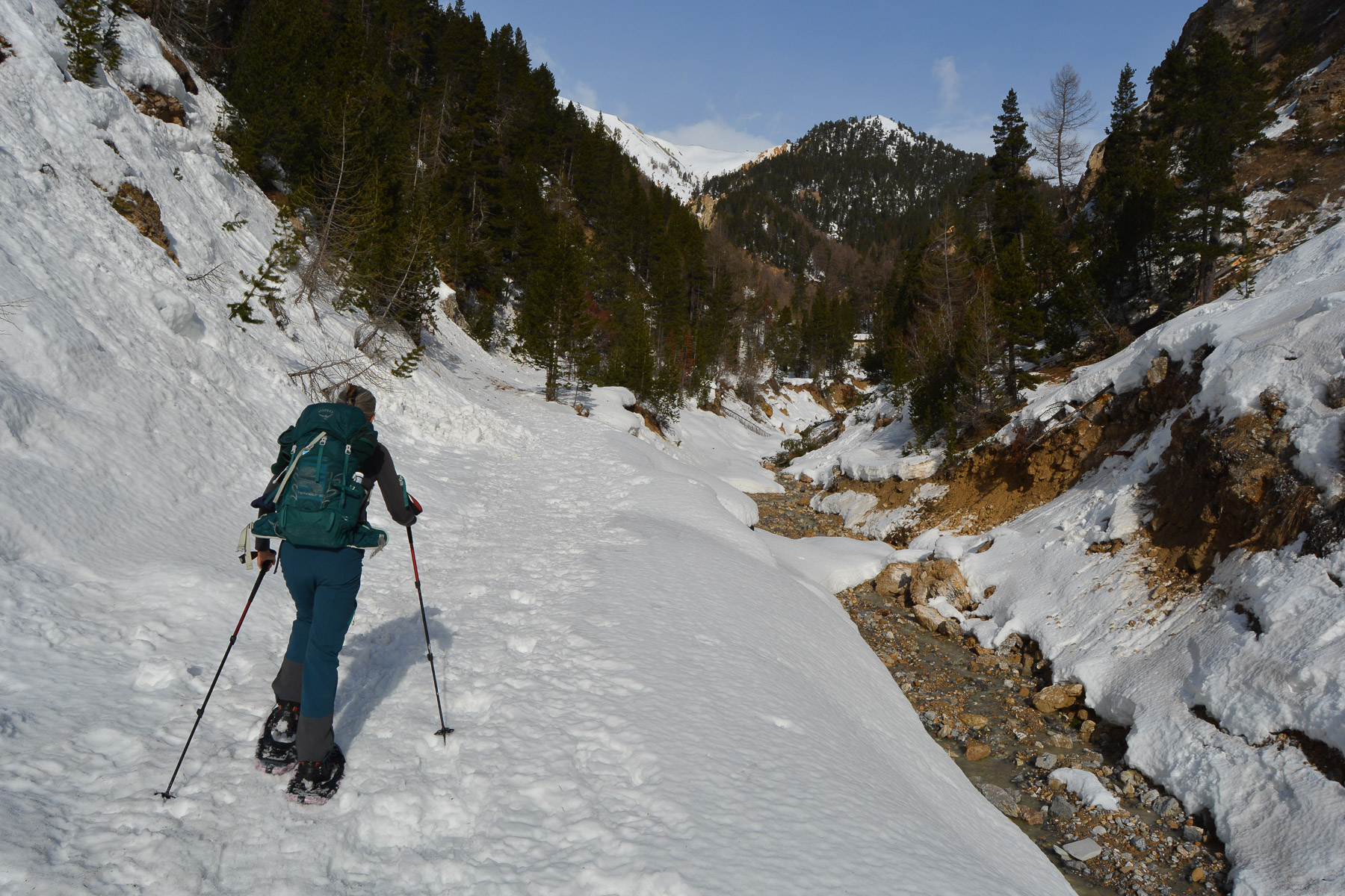
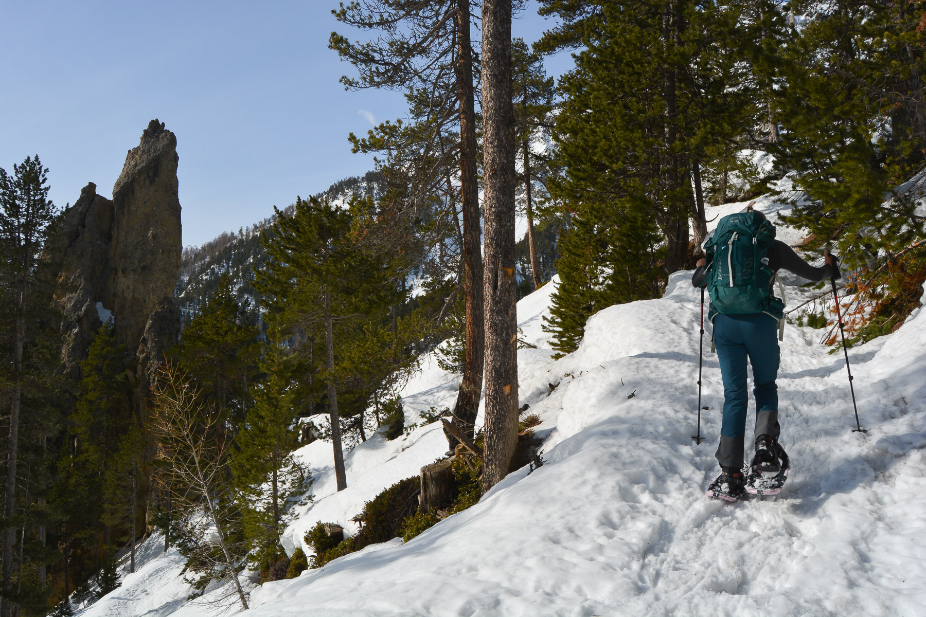
Climb due north and quickly find the GR 57 itinerary. The wide, snow-covered trail runs deep into the forest and enters the small valley of the Roubion torrent. It takes 15′ to pass the forest barrier. Continue gently uphill until you reach the Les Combes forest chalet at 1750m.
A fairly short route with no difficulties if conditions are good. The route is generally south-facing and therefore well exposed to the sun.
Either follow the wide, snow-covered trail up the right bank of the torrent, or, as we did, climb the path above the hut. The narrow path rises quickly and offers views of the walls to the west. Further up, we join the snow-covered trail. Before the junction, the Cheminée de Fée can be seen above.
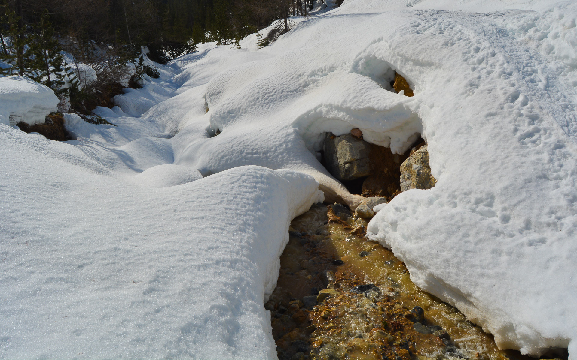
Follow the right bank of the torrent until you finally cross it to the opposite side and climb up to the base of the Cheminée de Fées.
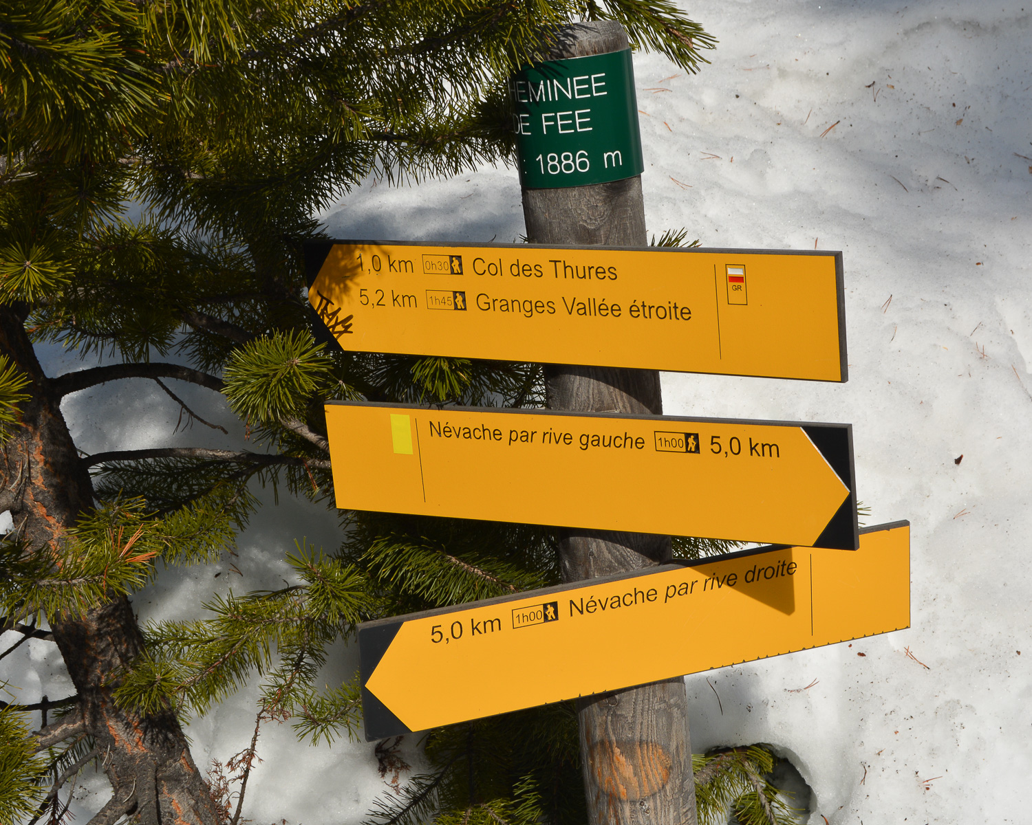
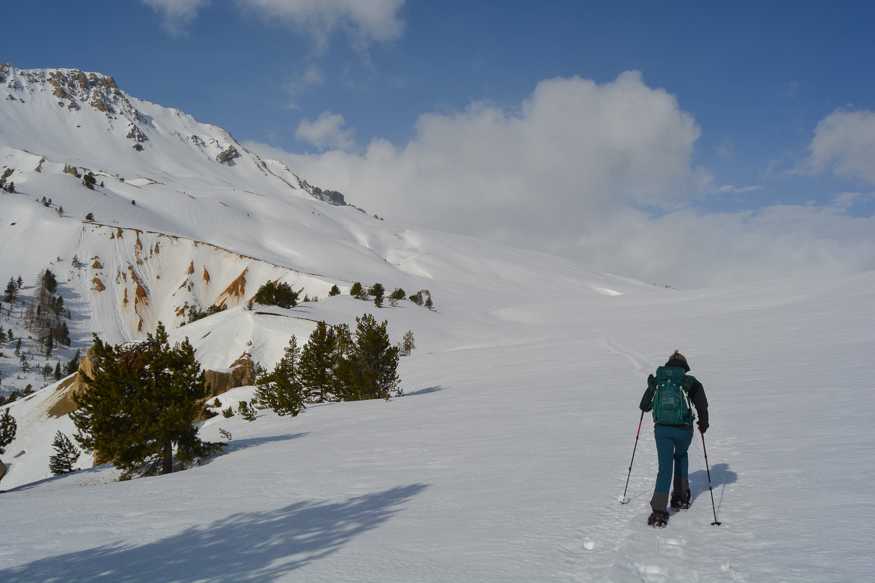
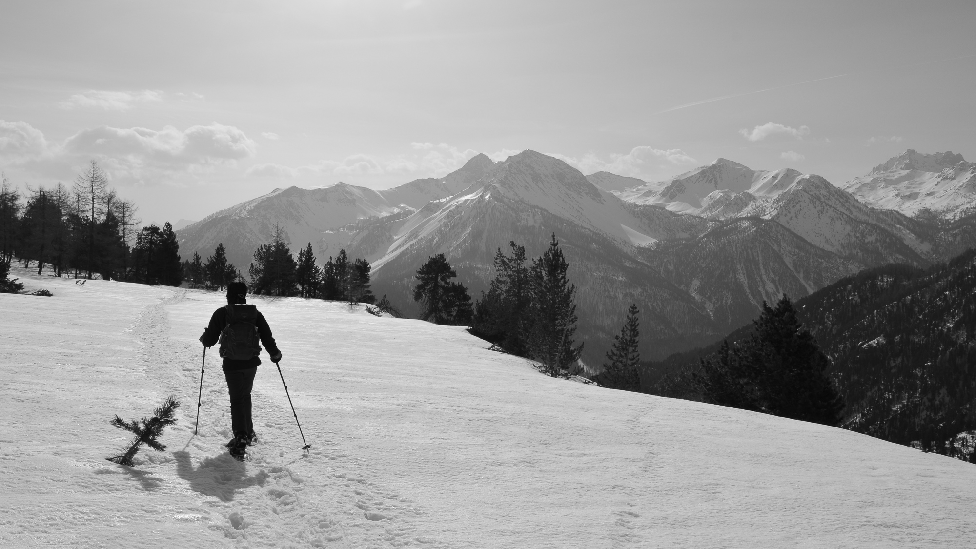
Continue along the path, which winds its way up through the forest above the Cheminée de Fées. Higher up, you leave the forest to reach the Plateau des Thures on a steep slope.
Cross due north to reach the Bergerie des Thures at 2105m. Continuing along the long plateau, you can make out the Col des Thures at the end. The 3 Pointes de Gaspard, Melchior and Balthazar protrude above the pass.
Go back over the plateau, downhill on the south side to pass the Cheminée de Fées. Cross the torrent again and, further down, stay on the main path that follows the bed of the Roubion torrent on the right bank. You pass under the Chalet des Combes. Continue in the opposite direction to the Roubion parking lot.


Leave a Reply