


TOPO Ski Touring | CLIMBING7.COM
Publié le
 Partager sur WhatsApp
 Partager sur Twitter
Partager sur Instagram
Partager sur Twitter
Partager sur Instagram

 Partager sur Facebook
 Imprimer le topo
 Laisser un commentaire
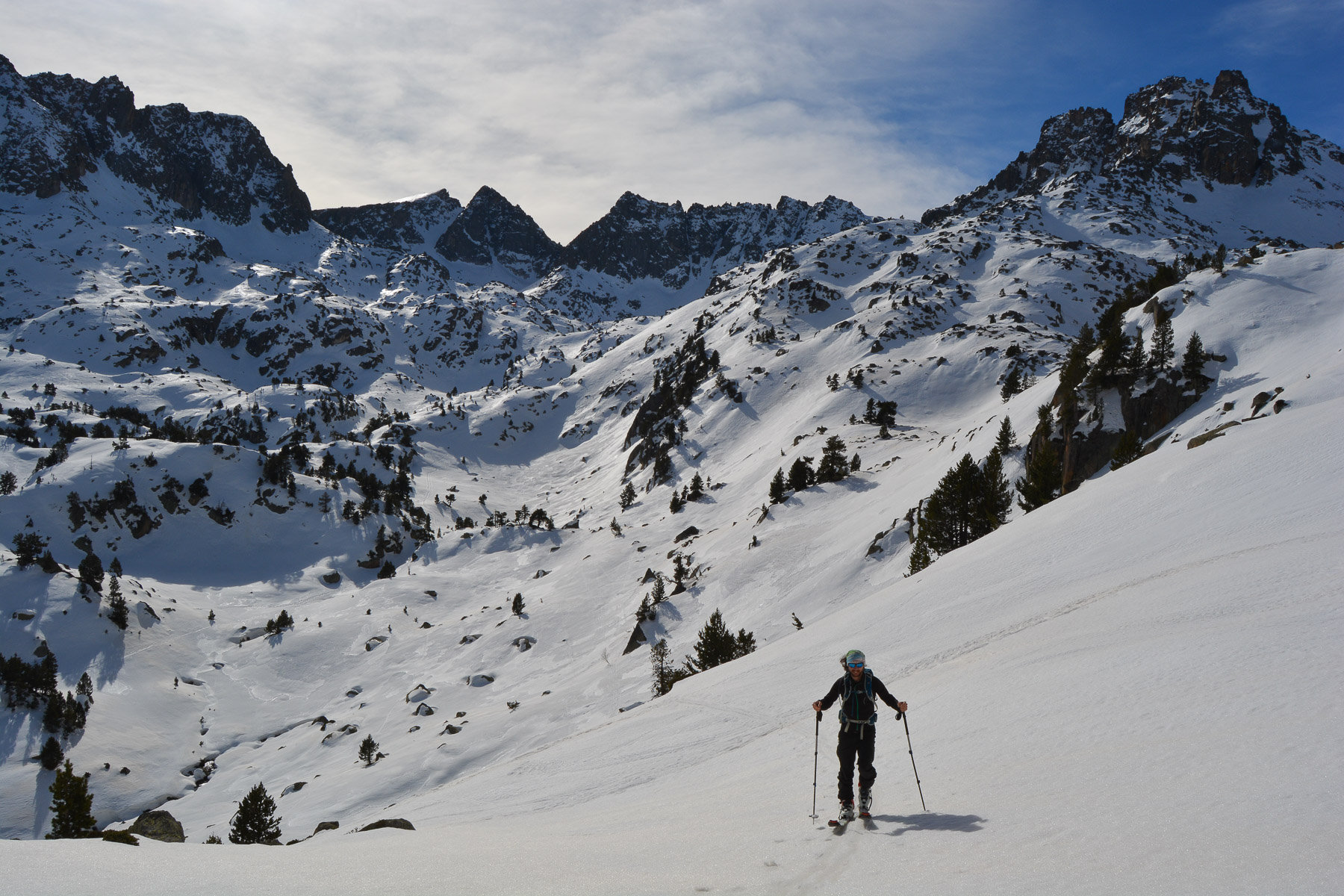
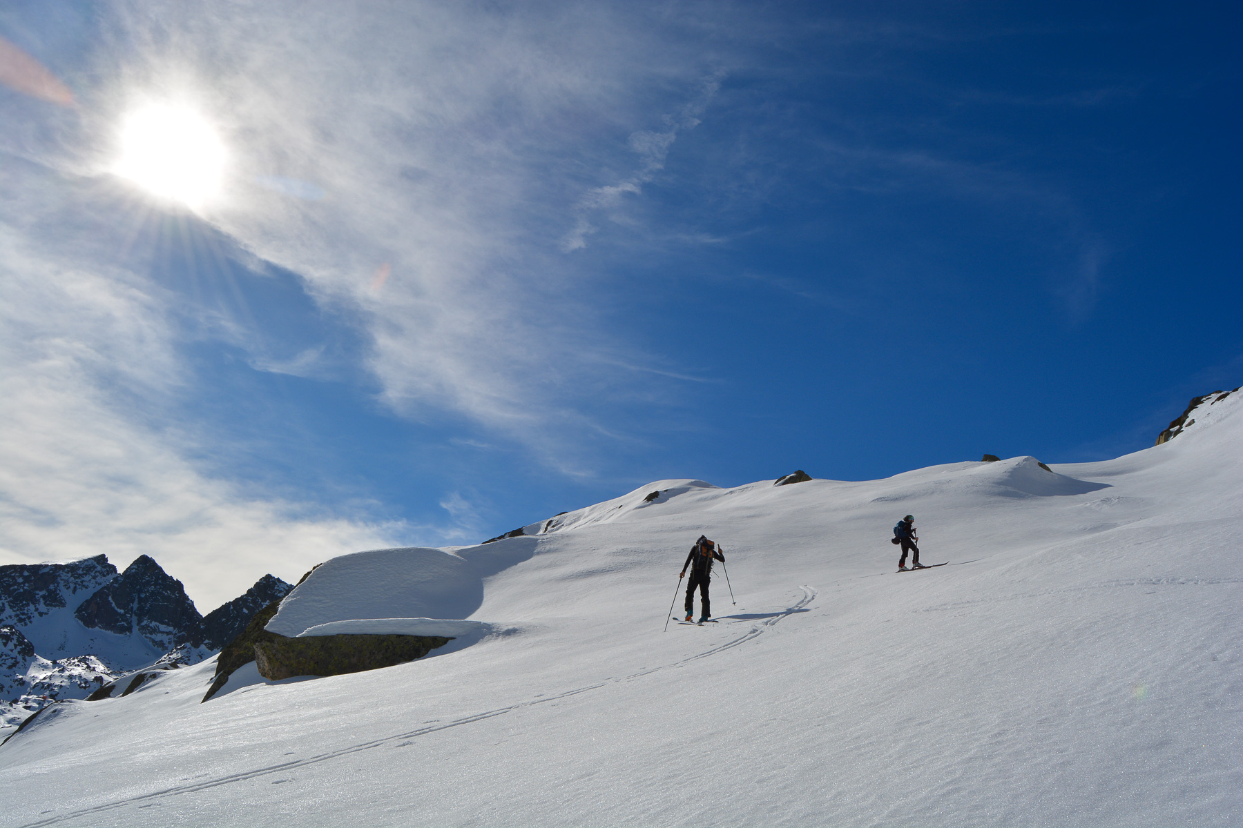
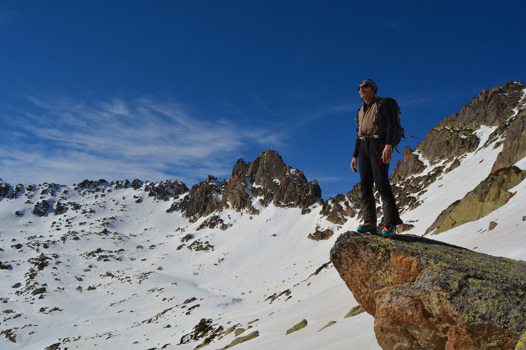
Faced with spring snow conditions in February, the ascent below Pic de Seros via Vall de Gerber offered us an optimal option from Val d'Aneu. Climbing up the northeast slopes below the ridge leading to the Port de la Bonaigua, we reach the Estany de Gerber at almost 2200m. From here, a wide, deep valley opens up to the south, leading to the Mataro refuge. We preferred to bypass the lake to the west and continue climbing until we came to rest below the Pic de Seros. Beautiful panorama and some east-facing slopes above Gerber lake, ideal for finding snow that is finally skiable in today's conditions.
❱❱ Technical summary
Type ✦ Ski touring
Location ✦ Les Ares, Port de la Bonaigua
Region ✦ Val d'Aneu, Catalunya
Country ✦ Spain
Orientation ✦ Northeast / East
Max. altitude ✦ 2540m
Length of ascent ✦ 6km (return point)
Vertical drop ✦ 700m
Difficulty ✦ R-2.3-E1 (?)
Max. gradient ✦ 35
Duration ✦ 3h to 4h
Interest ✦ ★
❱❱ Access to the place
Below Port de la Bonaigua, on the C28 towards Esterri d'Aneu, park in one of the bends above the hamlet of Les Ares.
❱❱ Map & topo
❱❱ Itinéraire
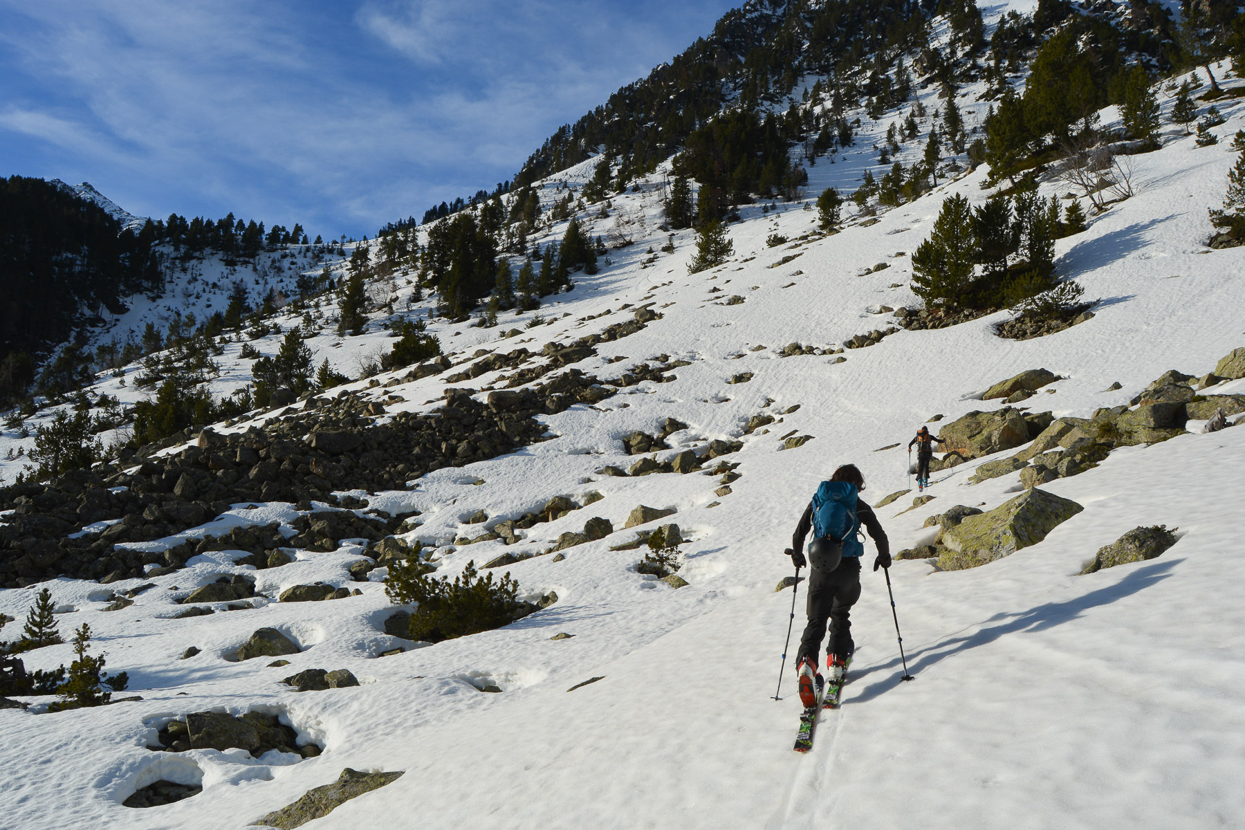
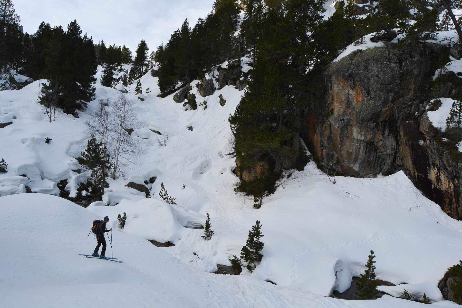
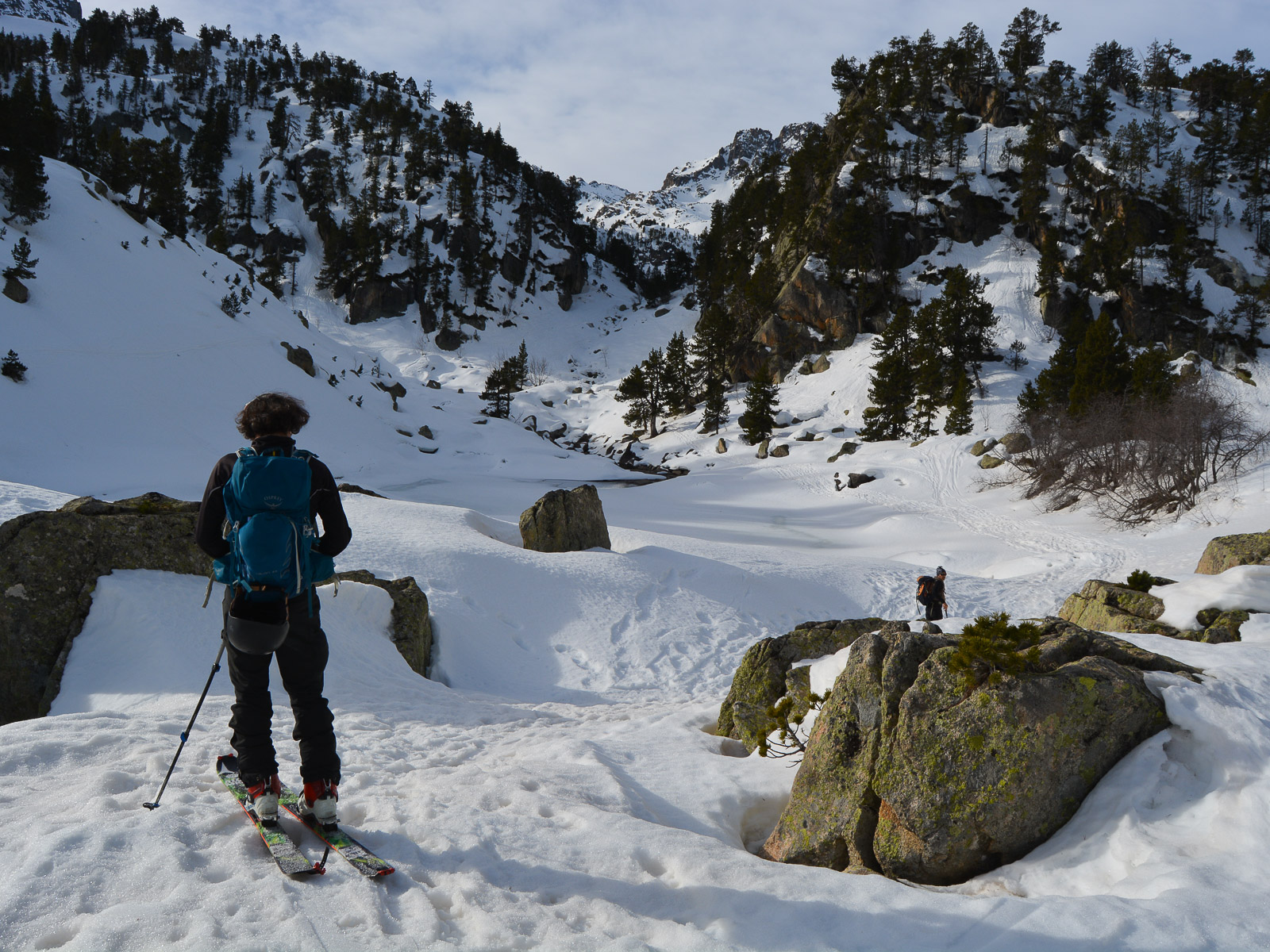
Climb fairly steeply straight up the slopes to gain altitude. Higher up, cross to the east, between fir trees, to reach an undulating upper flat. Here you pass a small round frozen lake. A little further up, the route crosses the bed of the Barranc de Gerber. End of the approach.
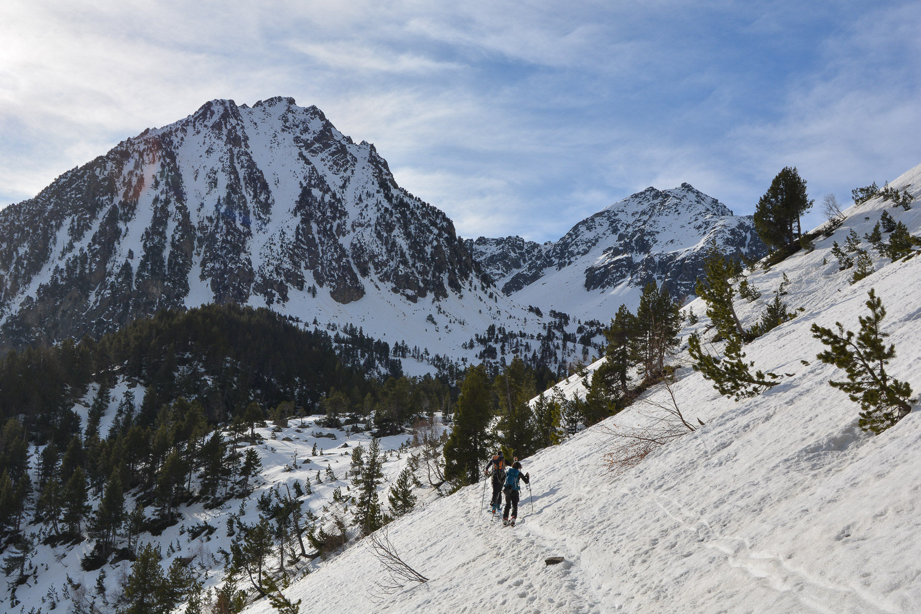
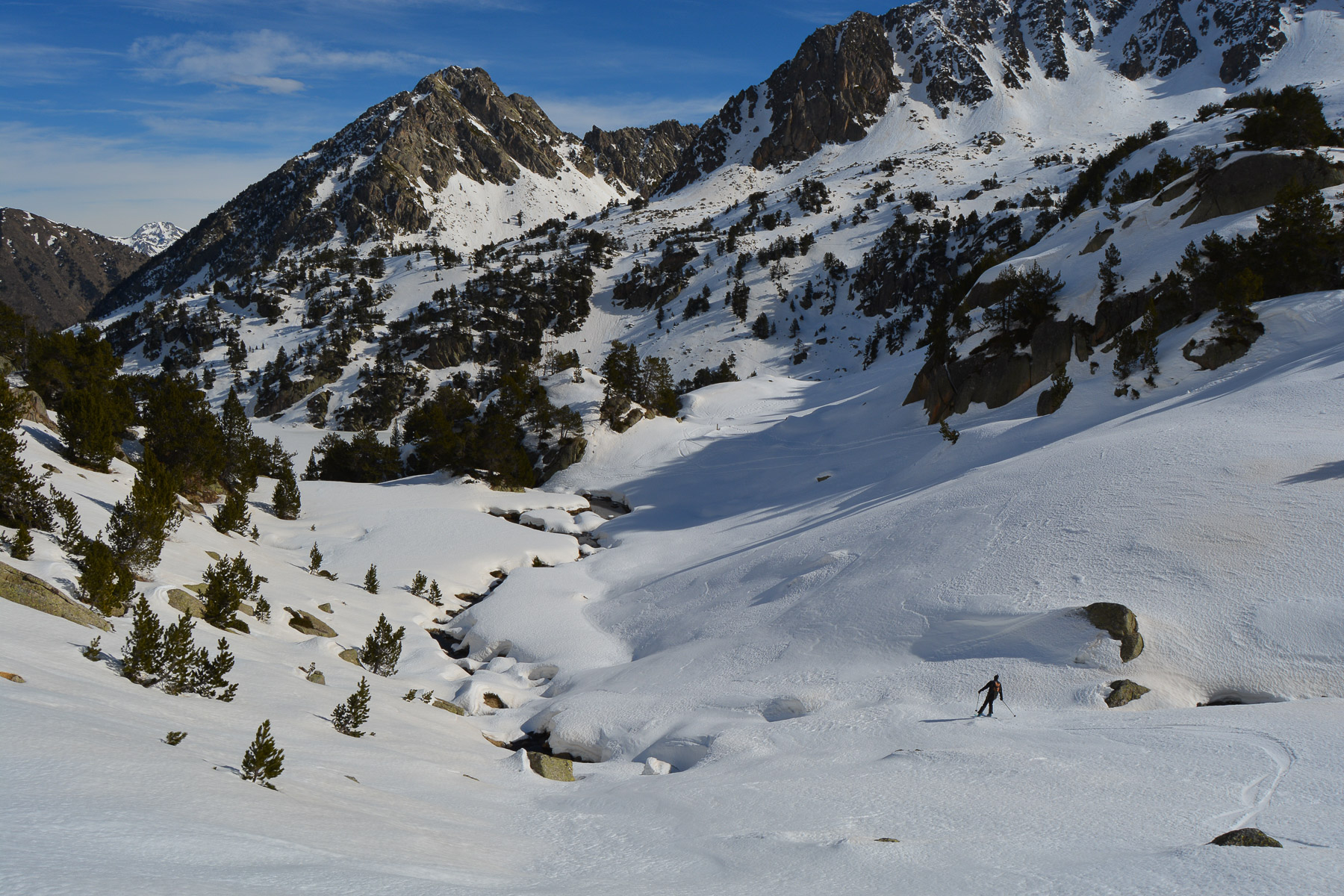
Follow the left bank of the Barranc de Gerber. It's hilly, with small climbs, and in places a few meters downhill before climbing again. Follow the gully formed by the frozen torrent bed. You reach a long flat area which leads to the 2nd, longer lake.
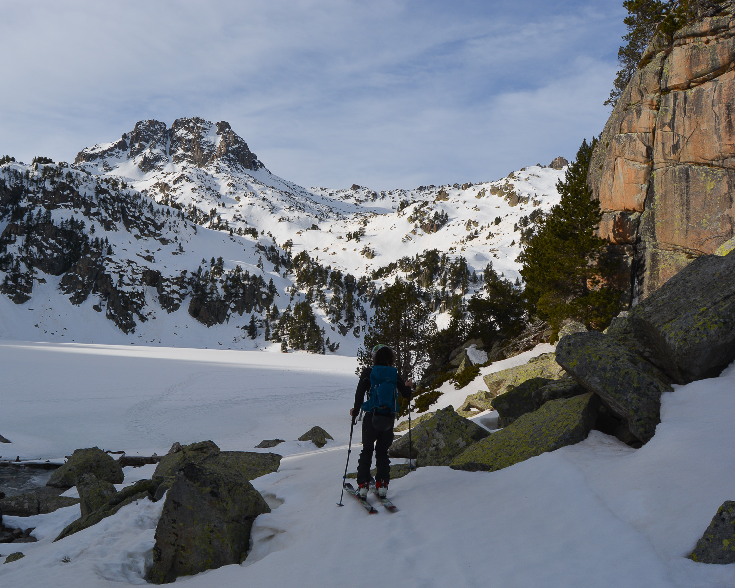
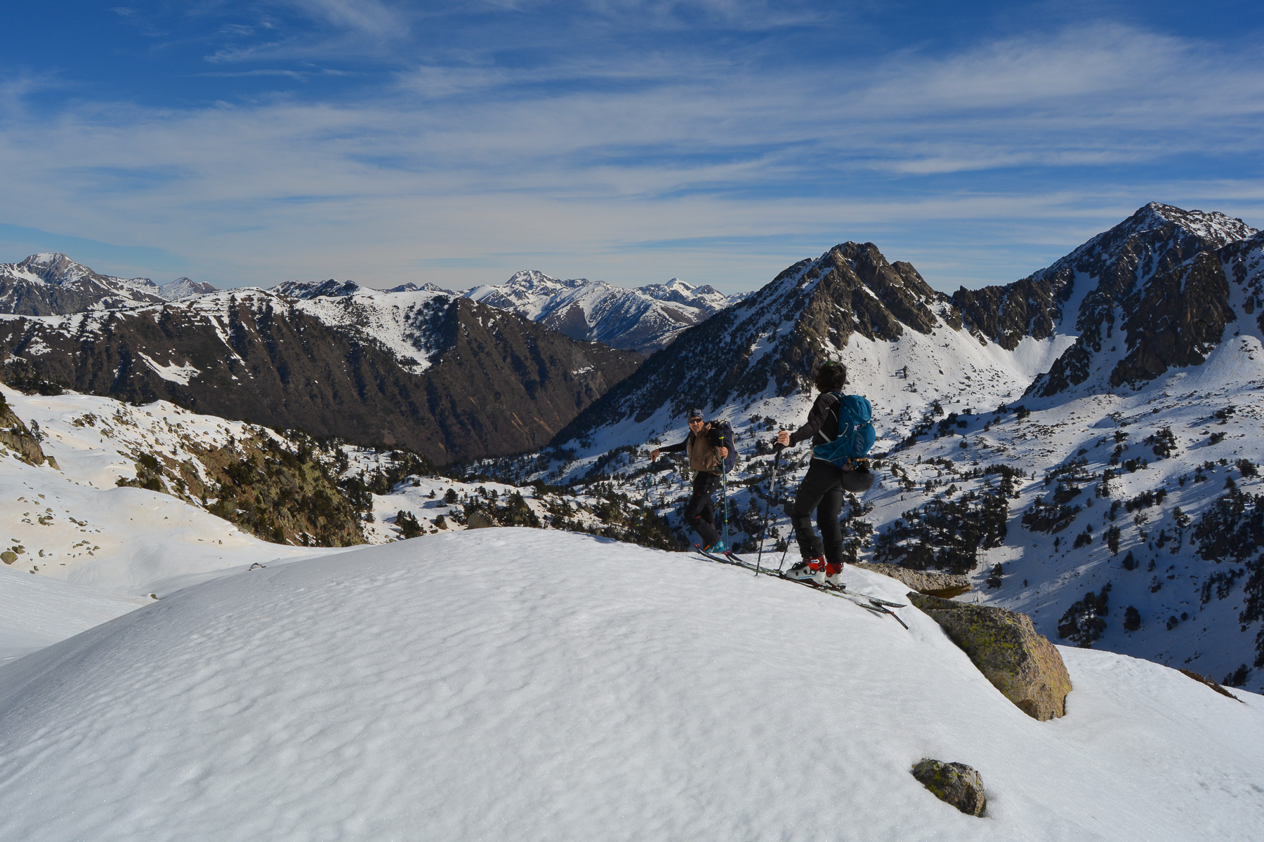
Keeping to the east, climb another gully above the barranc to reach the Estany de Gerber, 2180m. Here, the classic option seems to be to continue along the east side of the lake to climb up to the refuge. We took another option, that of crossing over the edge of the frozen lake on the north side, as the ice seemed sufficient to pass over the surface.
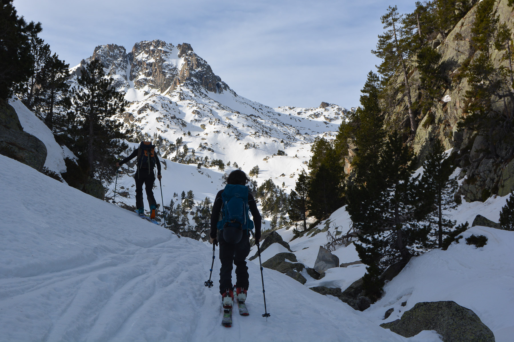
Almost at the end, before the steep gully of the barranc, climb to the right through the trees on a steep and awkward section (or take off your shoes). Above, you'll find an itinerary for continuing south-east and then south. You're now at the summit of Pic de Seros.
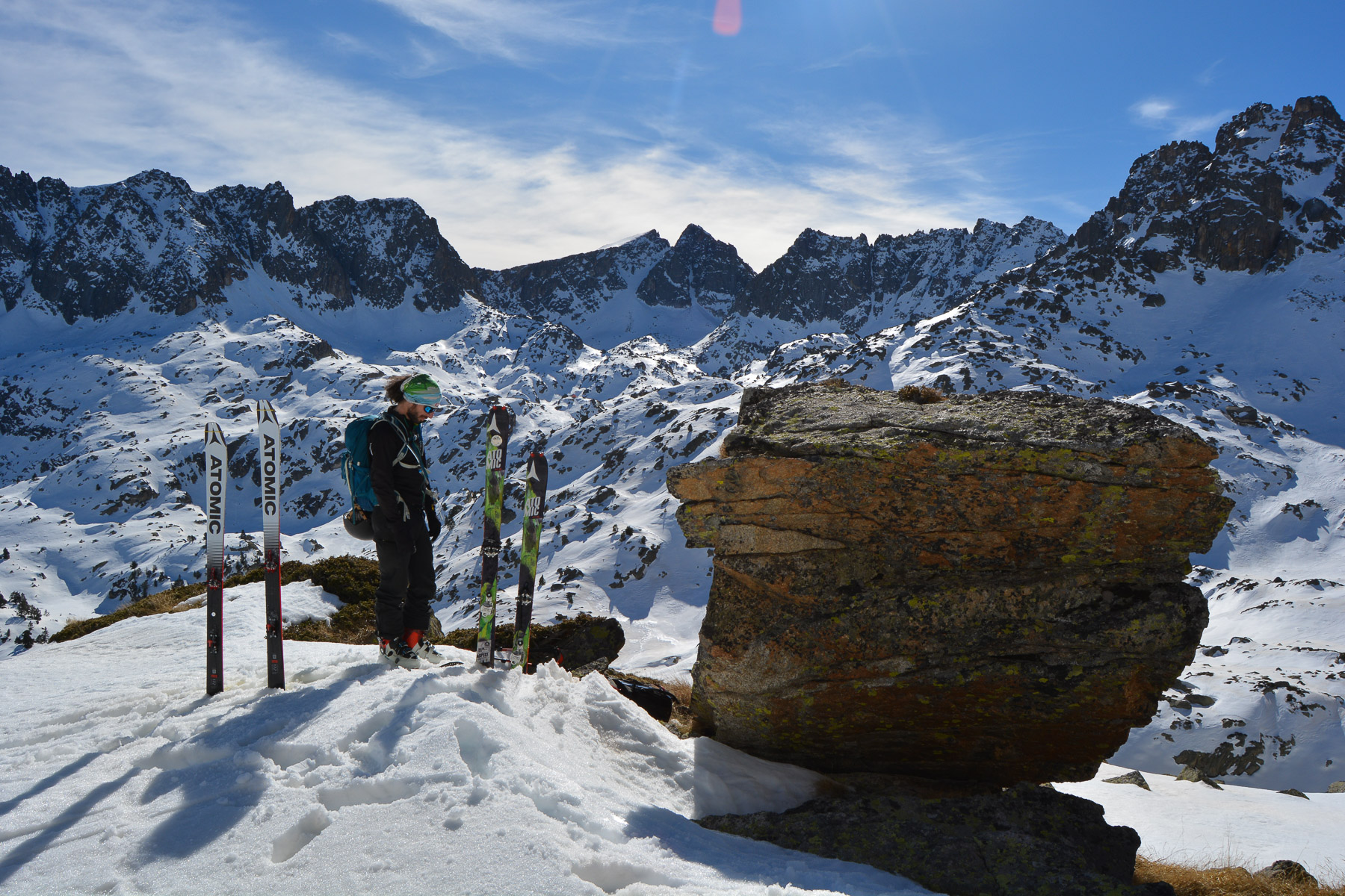
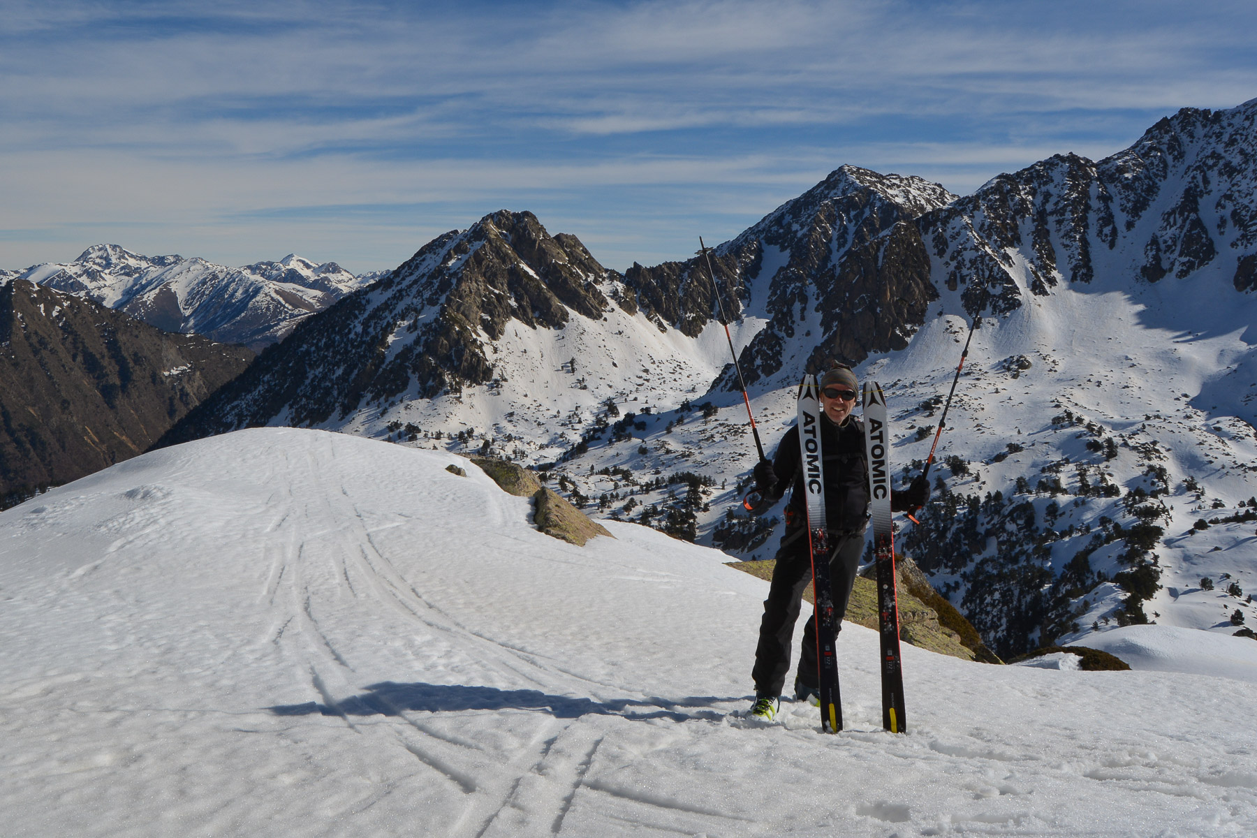
All that remains is to climb the fairly steep slopes that reach the base of the Pic de Seros. You're now on a shoulder. Open view of the whole cirque: Pic de Locampo, Aiguilles de Saboredo to the west, Puis de Gerber and Pic de Bassiero to the south, Tres Puis and Pic de Xemeneies to the east.
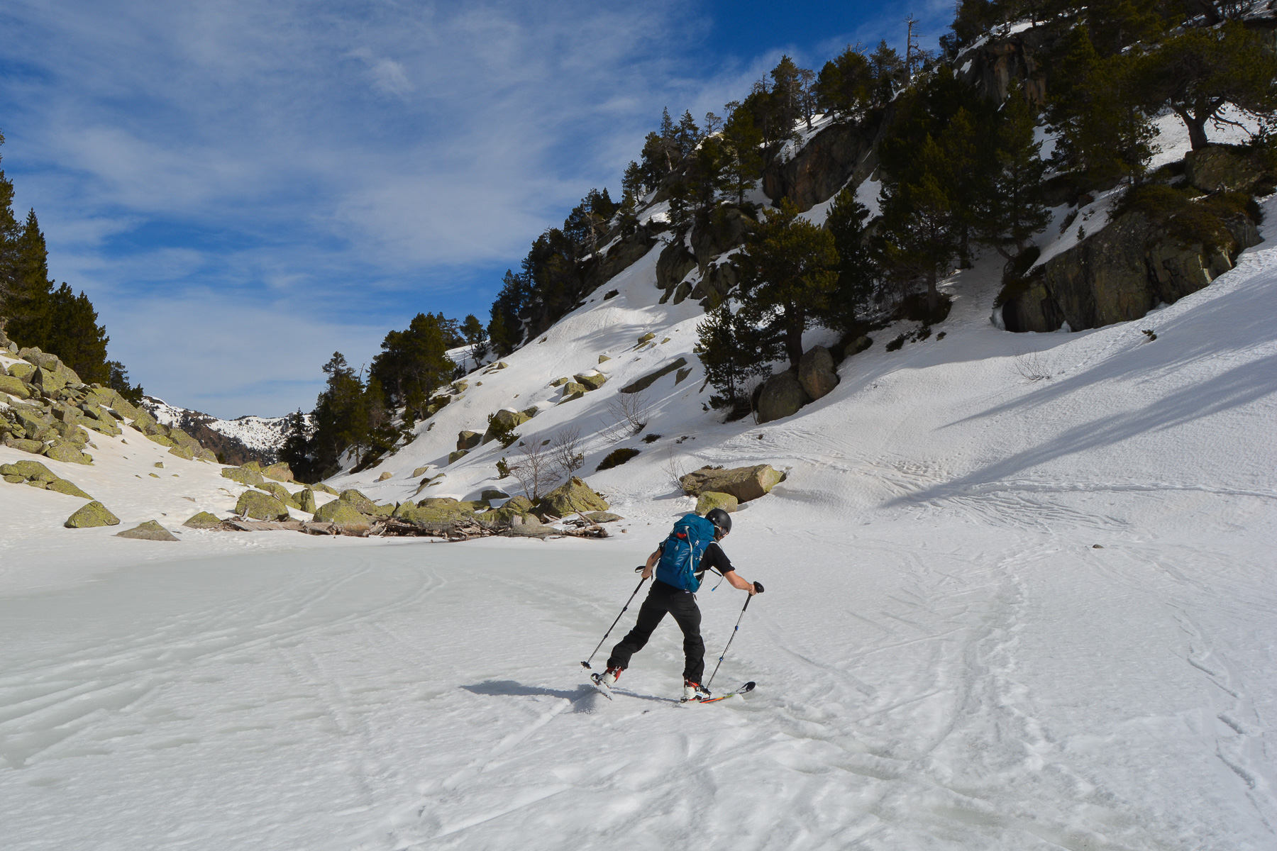
Generally on the same route as the ascent. The first slopes are the most interesting, maximum 35°. To get back to Lac de Gerber level, we descended the narrow and awkward gully of the Barranc de Gerber. Skating across the frozen surface of the Estany de Gerber.
The rest is not so good. We slide, push on the poles, climb a few metres up the steps to pass the undulations above the second and first small lakes.
At the end, crossing and staying high, we find some slope above the road to ski some more and ski back to the car.


Leave a Reply