


TOPO Hiking | CLIMBING7.COM
Publié le
 Partager sur WhatsApp
 Partager sur Twitter
Partager sur Instagram
Partager sur Twitter
Partager sur Instagram

 Partager sur Facebook
 Imprimer le topo
 Laisser un commentaire

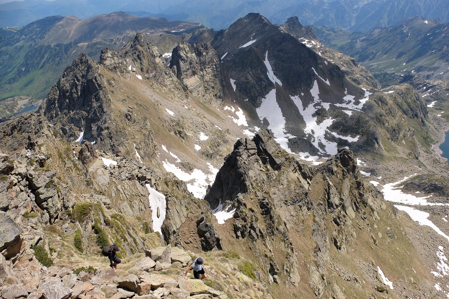
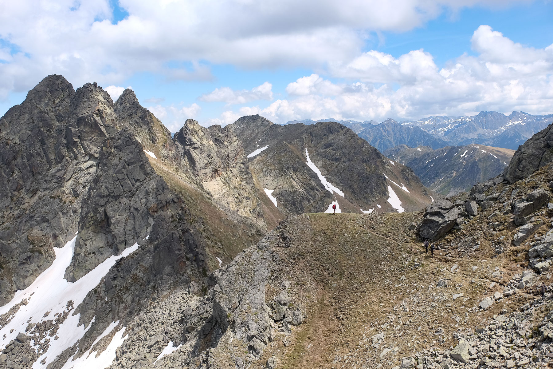
Overlooking the source of the Aston, the Pic du Ruhle dominates the high valleys that are home to splendid deep-blue ponds: Etang de Joclar and Fontargentes to the west, Etangs de l'Albe and Couart to the southeast. While the route is well mapped out, the couloir and final section are steep and there are a few passages where you need to put your hands down, particularly on the ridge leading to the southernmost summit with a few III/II pitches. To avoid a return trip, a loop can be made on the way back, joining the crête des Isards from the Col des Calamettes (GR10) and then returning to the Etang du Laparan via the Col de la Didorte and the GR T66. Longer but more varied.
❱❱ Technical summary
Type ✦ Hiking
Location ✦ Aston Valley
Region ✦ Ariège
Country ✦ France
Direction ✦ North / East
Max altitude ✦ 2785m
Distance ✦ 12.2km
Dénivelé ✦ 1160m
Difficulty ✦ E3 / T4 / R4
Duration ✦ 6h to 7h
Interest ✦ ★★
❱❱ Access to the place
From Les Cabanes, on the N20 between Foix and Ax-les-Thermes, take the small road heading south into the Aston valley. It's over 20 kms to the final parking lot at Pla de las Peyres (1700m), passing the Riete pond and then the Laparan pond. Park here.
❱❱ Map & topo
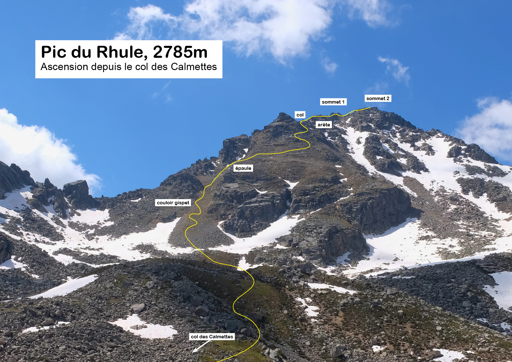
Yellow indicates the approach, blue the route over the Col des Calmettes and turquoise the path along the bottom of the valley. The yellow loop indicates the (unfinished) route to the Isards ridge, then down through the Rieutort valley to the Laparan pond.
❱❱ Itinéraire
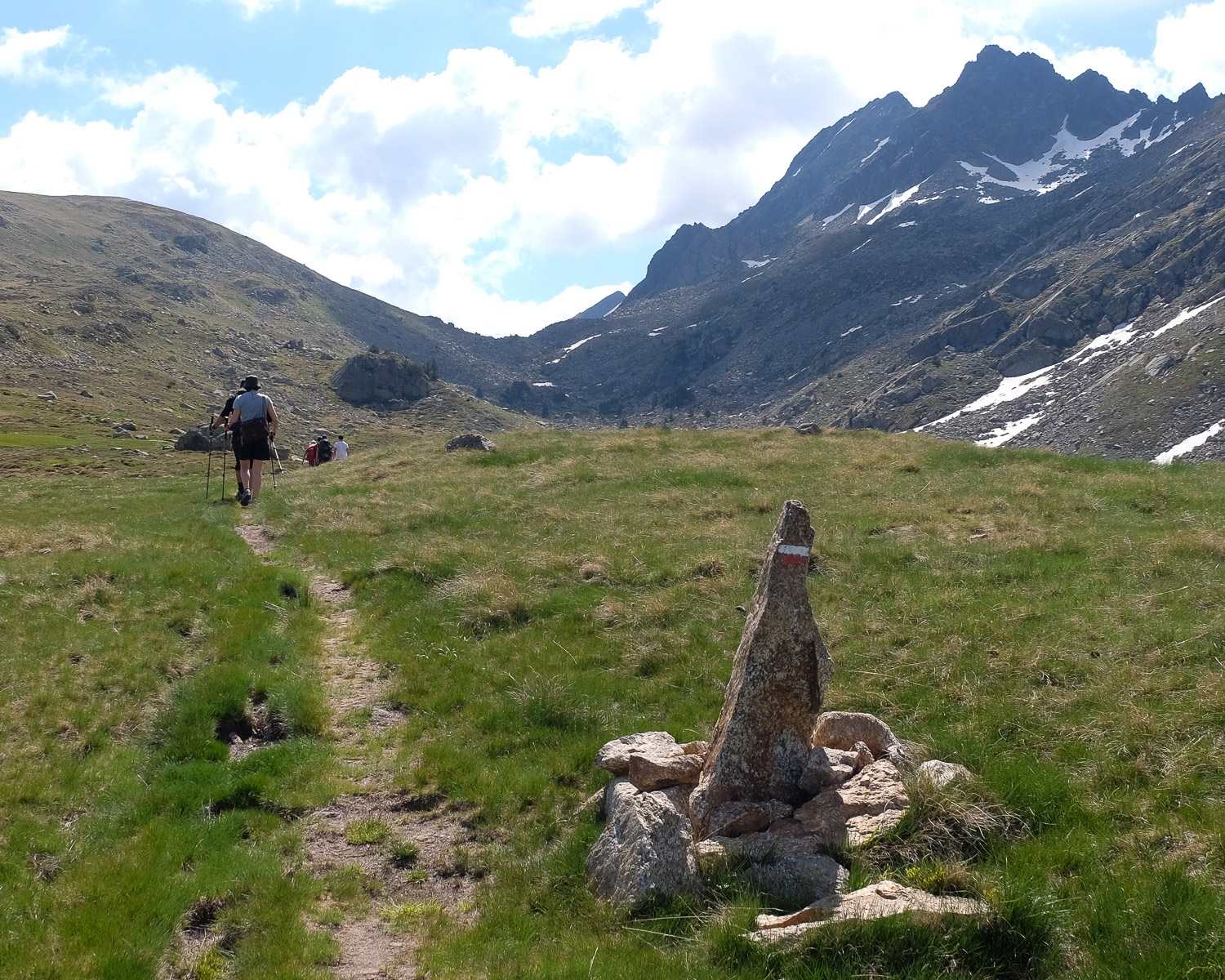
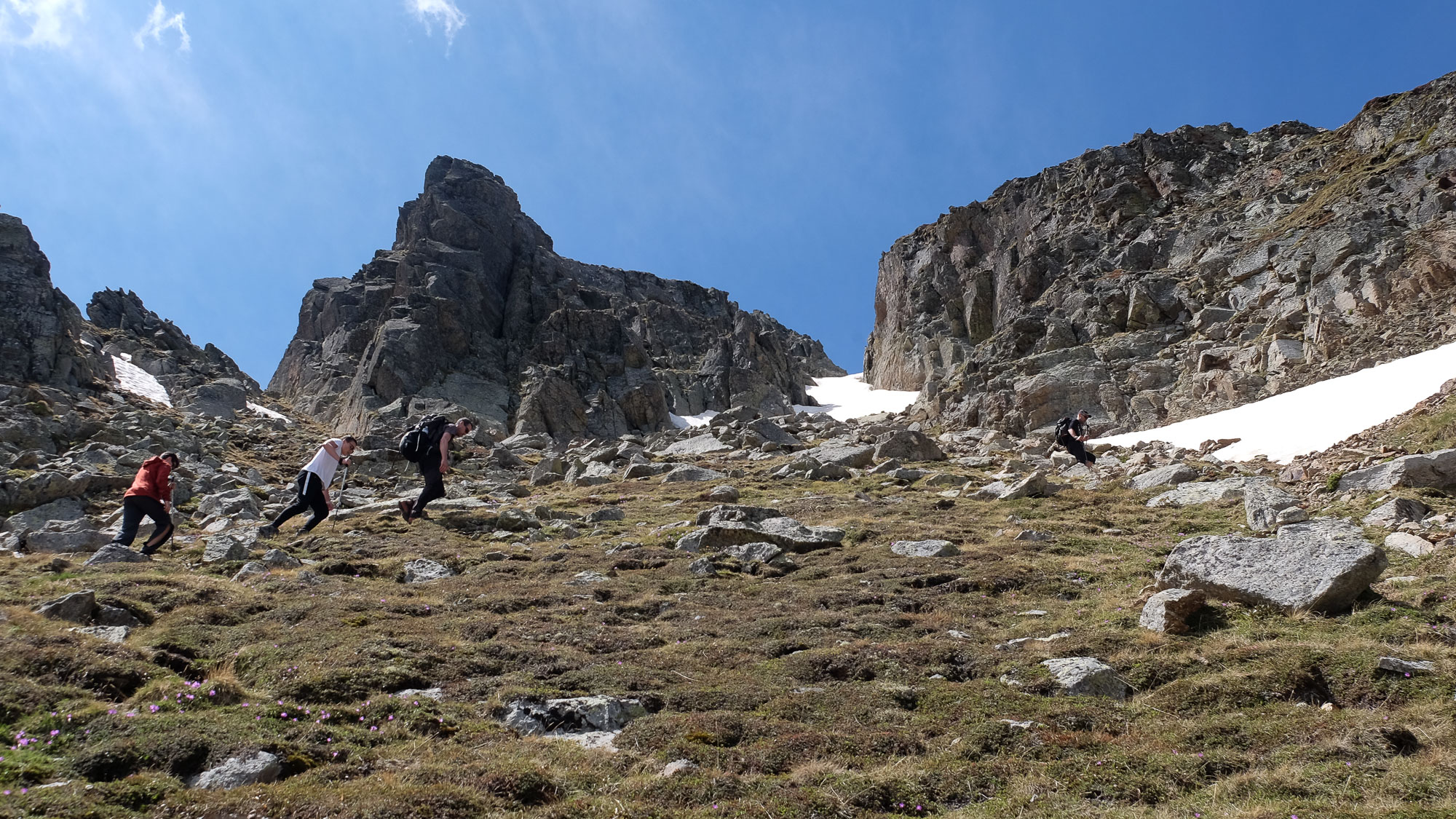
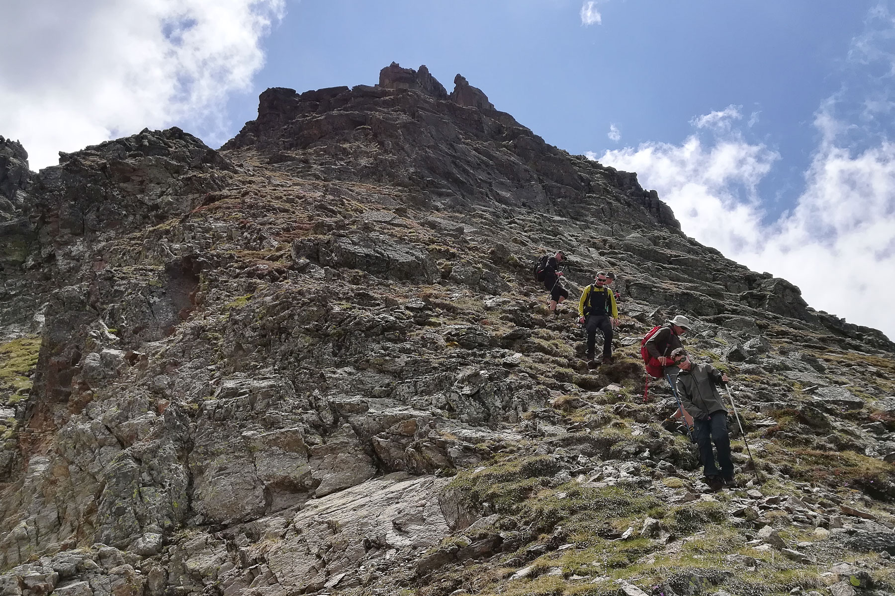
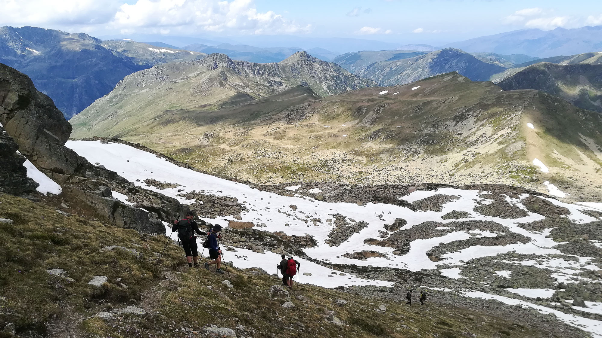
Leave the parking lot to the south and follow path N°26 towards the Rhule refuge and N°27 towards the Fontargentes ponds. Climb a first level, then leave the path to the Fontargentes ponds and fork left towards the refuge (sign). After a grassy plateau and a hut, the well-trodden path climbs steeply up the slope and into the valley floor. You can soon see the refuge in the distance, sitting on an upper plateau at the foot of the Rhule. The ascent continues, but is not too steep, to reach the refuge, the starting point for the round trip. You can leave some weight here if you don't want to return via the Isards ridge and the Rieutort valley.
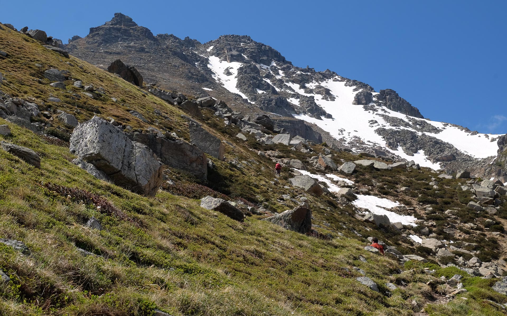
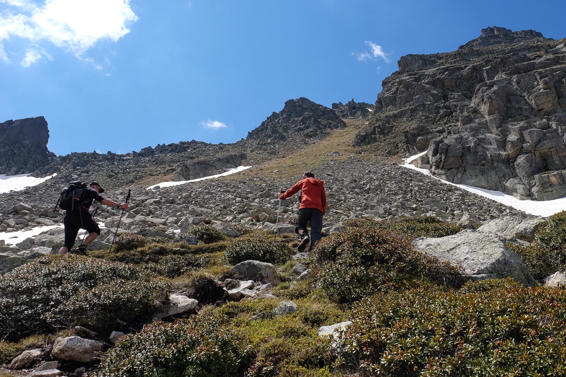
The route from the refuge skirts the Rhule massif to the north, then climbs its north or northeast flank to the summit ridge, which is double (2785m and 2783m). Because of this exposure, the presence of névé snow can make the final section complicated or even impossible without equipment.
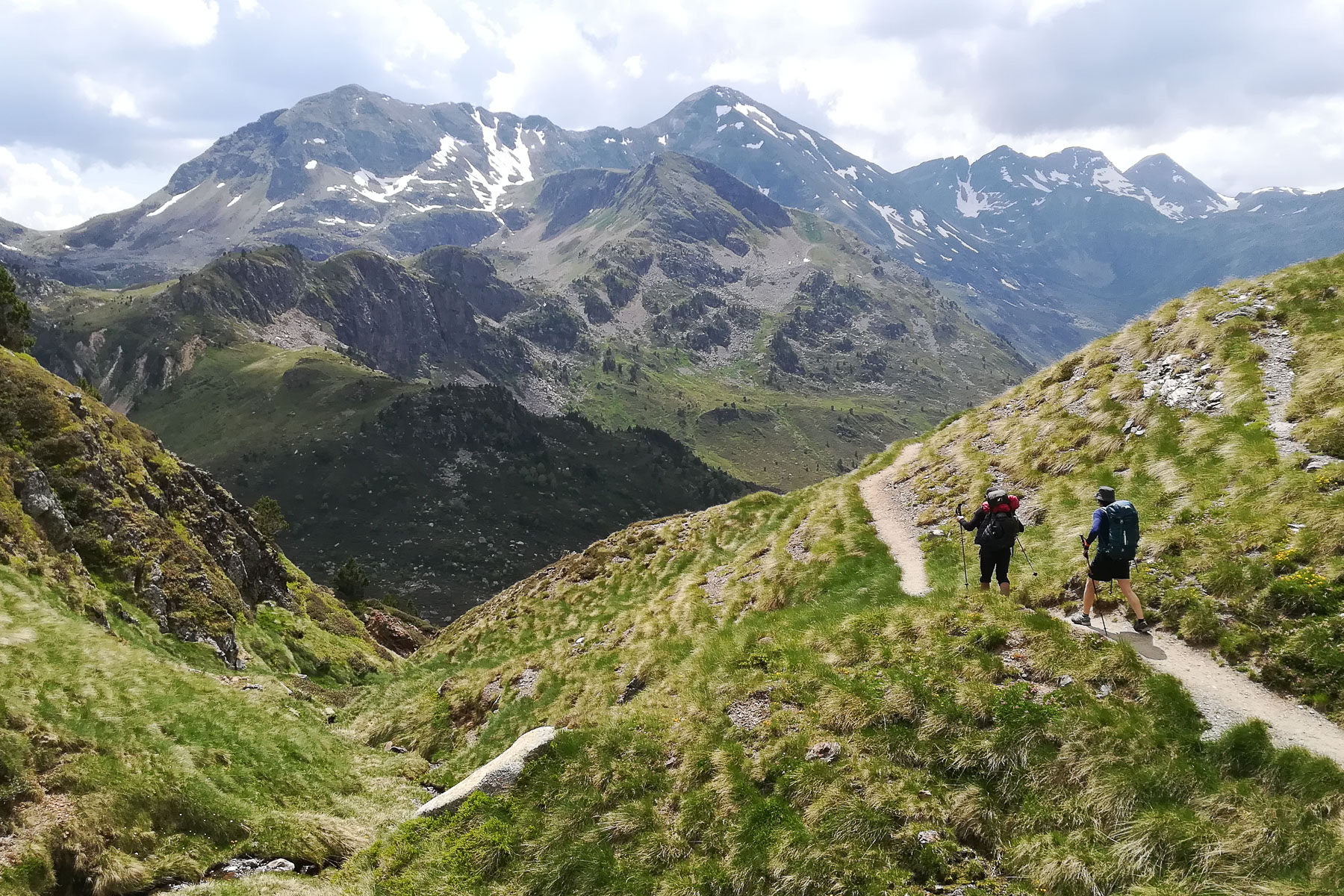
The same route as the outward journey. Allow at least 1 hour to get back to the refuge, then another good hour for the parking lot. The views over the Aston valley below the refuge are extraordinary.
Topo of the Pic du Rhule ascent on rando-marche.fr


Leave a Reply