


TOPO Hiking | CLIMBING7.COM
Publié le
 Partager sur WhatsApp
 Partager sur Twitter
Partager sur Instagram
Partager sur Twitter
Partager sur Instagram

 Partager sur Facebook
 Imprimer le topo
 Laisser un commentaire

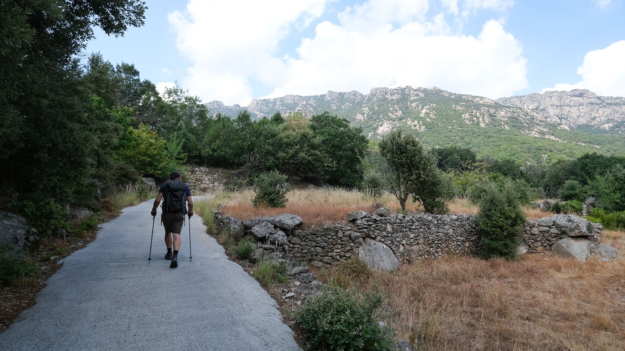
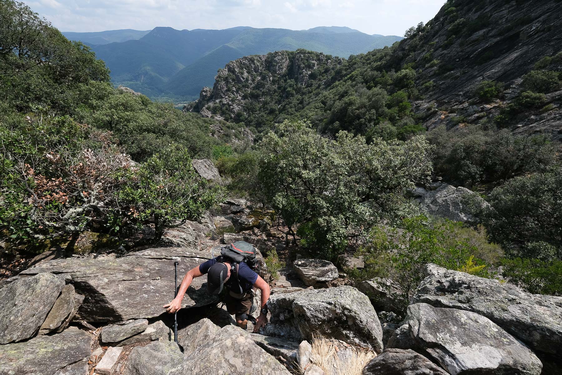
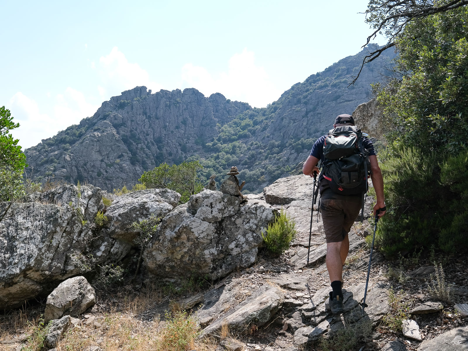
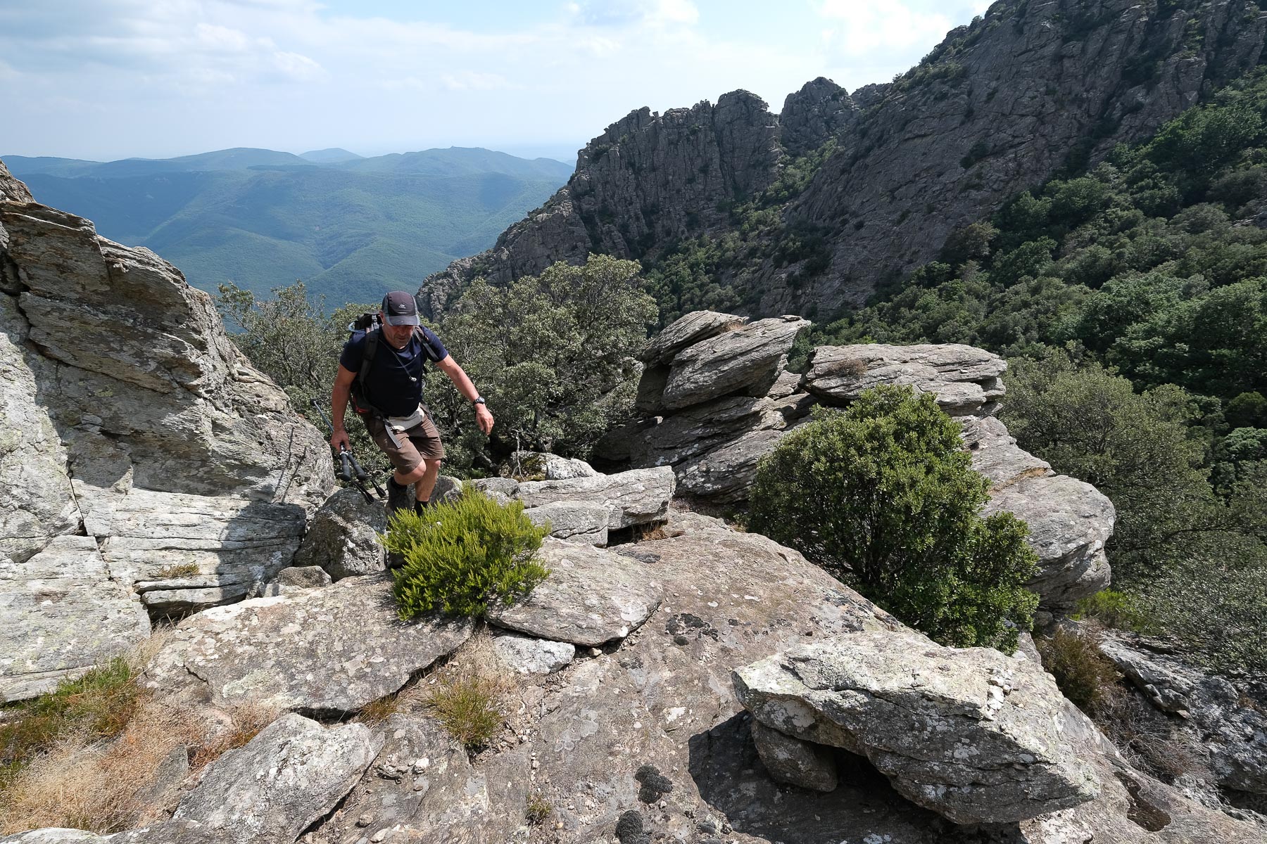
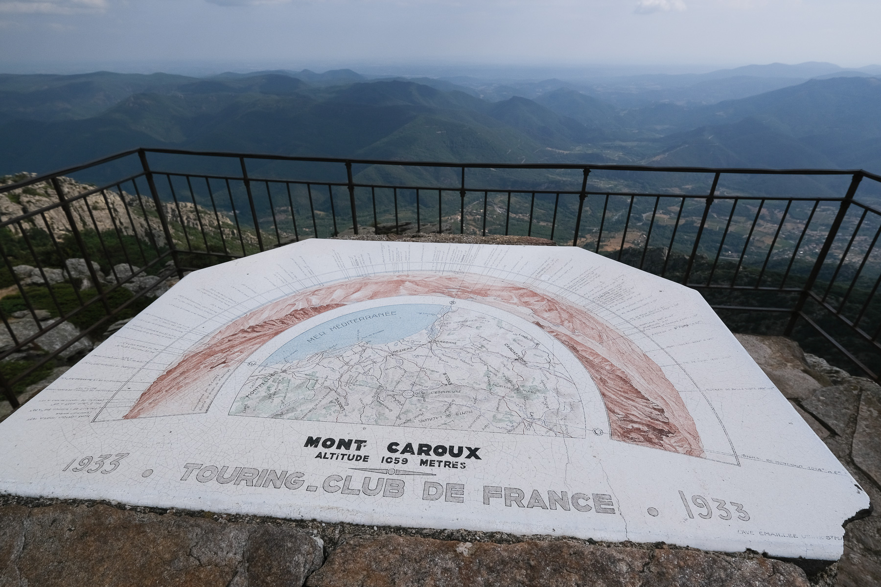
The last foothill of the Massif Central, the Caroux plateau, nicknamed the "Mountain of Light", forms a gigantic natural belvedere. This itinerary, starting from the small village of Sant-Martin-de-l'Arçon, combines several trails on the south face to reach the south-facing orientation table at the halfway point, offering a beautiful panorama of the Haut-Languedoc region. On the way up, you come across an impressive waterfall formed by the Albine stream, which, in good weather, can be covered in running water. On the way back, we pass the foot of the Lucet rock, a small rocky peak overlooking the valley. The route, which seems to be much less frequented than the Gorges d'Héric, is demanding, with a fairly steep ascent and descent for a short distance.
❱❱ Technical summary
Type ✦ Hiking
Location ✦ Saint-Martin de l'Arçon
Region ✦ Hérault, Plateau du Haut-Languedoc
Country ✦ France
Orientation ✦ South
Max altitude ✦ 1060m
Distance ✦ 9.5km
Vertical drop ✦ 830m
Difficulty ✦ E2 / T2 / R1
Duration ✦ 4h to 5h
Interest ✦ ★
❱❱ Access to the place
The site lies north-west of Bézier, in the upper part of the Orb valley. Get to Saint-Martin-de-l'Arçon on the D908 between Bédarieux and Saint-Pons-de-Thomières. Just before entering the village, after the church and cemetery, park in one of the 2 parking lots on the left.
❱❱ Map & topo
❱❱ Itinéraire
From the parking lot, retrace your steps and, before the church, take the "chemin du Mas le plus haut", an asphalt road that climbs up the main street. Follow the 3 bends uphill and, at the 1st fork in the road, keep right to reach a small building (mini water tower?). Just before this, at the last bend, start the path to the Col de la Pomarède.
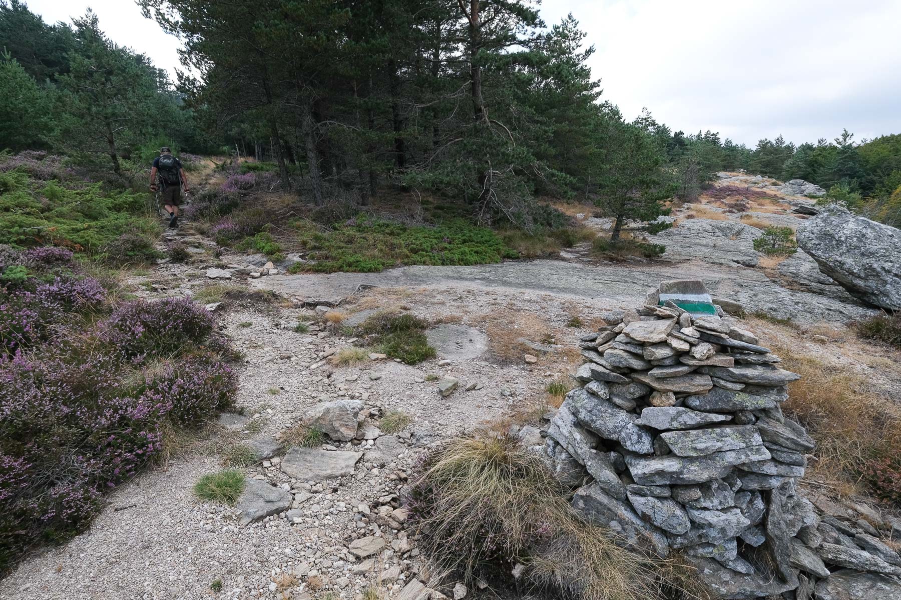
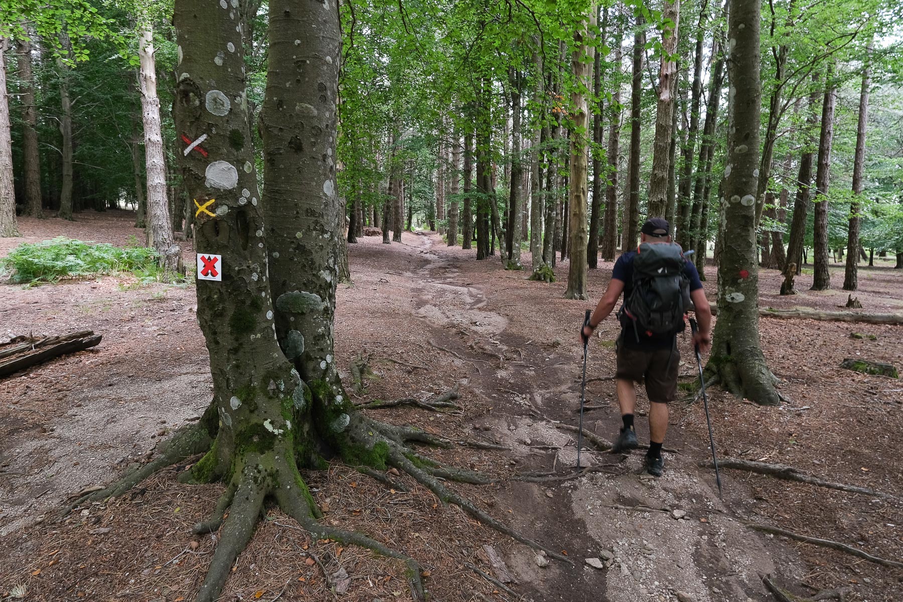
All trails are well marked, some signposted, others simply cairned. You need to be careful to branch off at the right moment, otherwise you risk lengthening the itinerary. While the ascent and descent are steep and therefore quite physical, there is also a very easy climb just after crossing the Albine waterfall.
The return journey is tiring and the descent quite hard on the knees and quadriceps. At the crossroads, continue straight downhill, still heading south. What remains is a long, winding descent on stony paths, in places through undergrowth, to reach the top of the village of Saint-Martin-de-l'Arçon. Cross the village and take the main road back to the start parking lot.


Leave a Reply