


TOPO Hiking | CLIMBING7.COM
Publié le
 Partager sur WhatsApp
 Partager sur Twitter
Partager sur Instagram
Partager sur Twitter
Partager sur Instagram

 Partager sur Facebook
 Imprimer le topo
 Laisser un commentaire
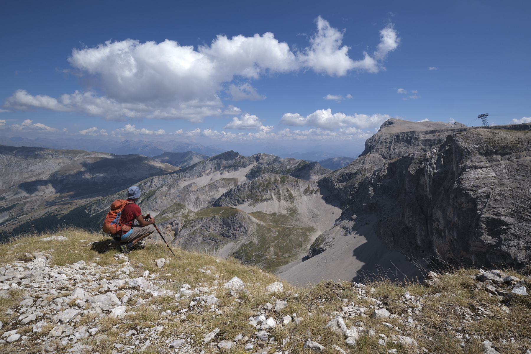
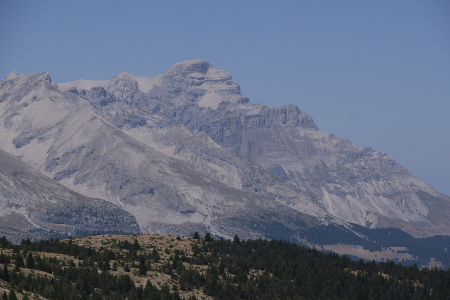
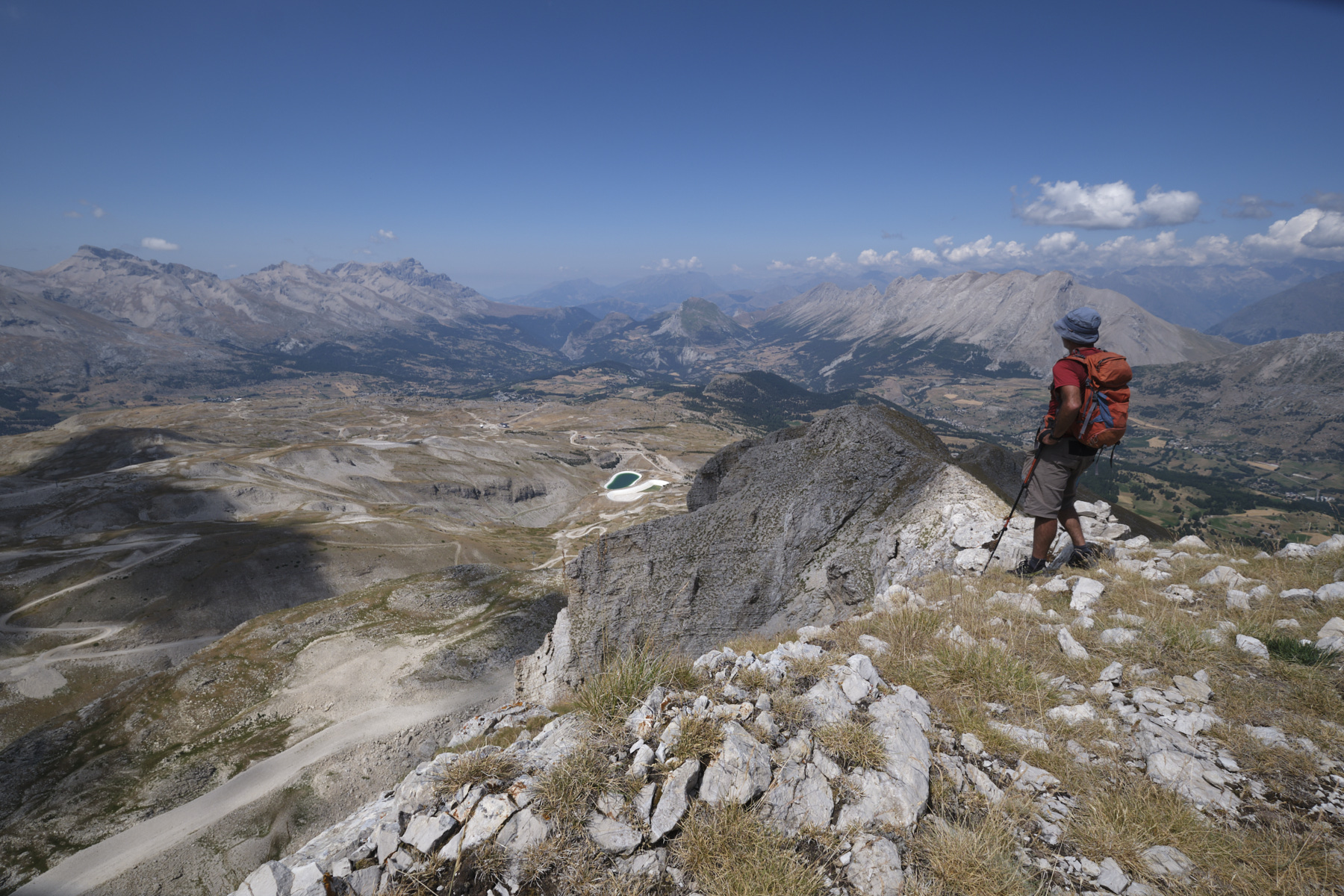
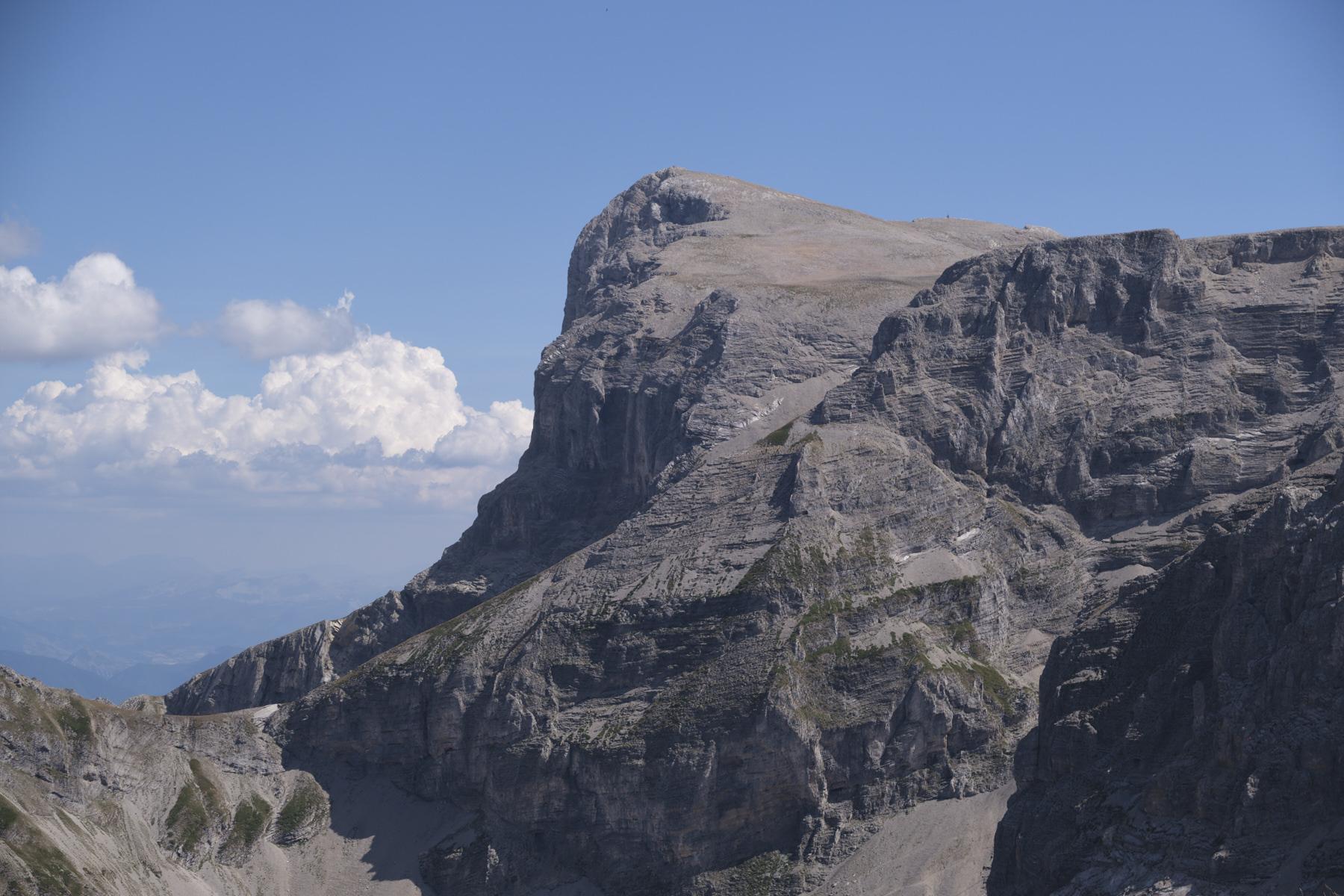
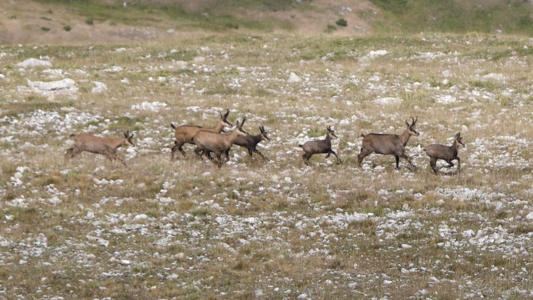
Departing from the resort, this out-and-back hike takes you off-trail up the Bonnet Rouge ridge and above to the Pied Gros de Saint-Étienne ridge, where you can gain height and enjoy an exceptional panorama of the Dévoluy. The view to the south-east is perfect over the Pic de Bure, its plateau, the Combe Ratin, the Vallon d'Ane as far as the Col du Rabou. On the other side, splendid views over the mineral chain from Grand Ferran to Grande Tête de l'Obiou. The itinerary is obvious but requires you to progress off-piste, and the finale on the ridge to the summit at almost 2500m is aerial and impressive. You may also come across tribes of rather shy ibex, which scurry off as we arrive.
❱❱ Technical summary
■ Departure point: Superdévoluy resort, Saint-Étienne en Dévoluy, Hautes-Alpes (05)
■ Type of route: high-mountain out-and-back hike
■ Distance: 8 km
■ Cumulative elevation gain: +950 m
■ Cumulative negative altitude gain: -950 m
■ Estimated total time: 3h to 4h
■ Min and max altitude: 1500 m / 2450 m
■ Beaconing: no
■ Equipment in place: none
■ Equipment required: none
Difficulties: the start of the Pied Gros ridge has a steep section and the end of the ridge is narrower and more aerial. A bit of orientation to find your way to the Pied Gros.
❱❱ Access to the place
Go to the Superdévoluy resort above Saint-Étienne-en-Dévoluy. Park at the entrance to the resort, in front of Chalets de Margot.
❱❱ Map & topo
The route on the ridges is indicative.
Voir en plein écran❱❱ Itinéraire


Leave a Reply