


TOPO Via ferrata | CLIMBING7.COM
Publié le
 Partager sur WhatsApp
 Partager sur Twitter
Partager sur Instagram
Partager sur Twitter
Partager sur Instagram

 Partager sur Facebook
 Imprimer le topo
 Laisser un commentaire
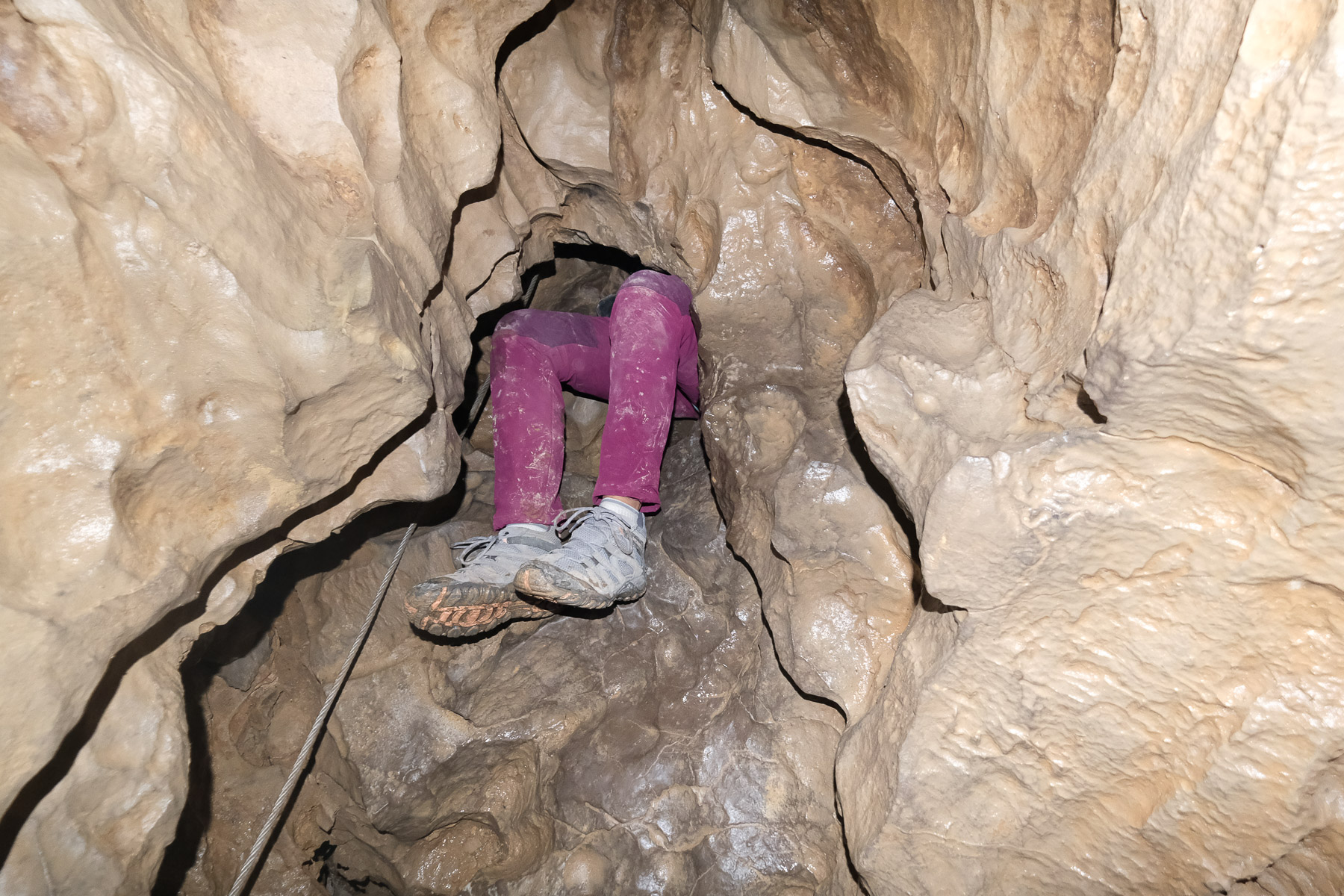
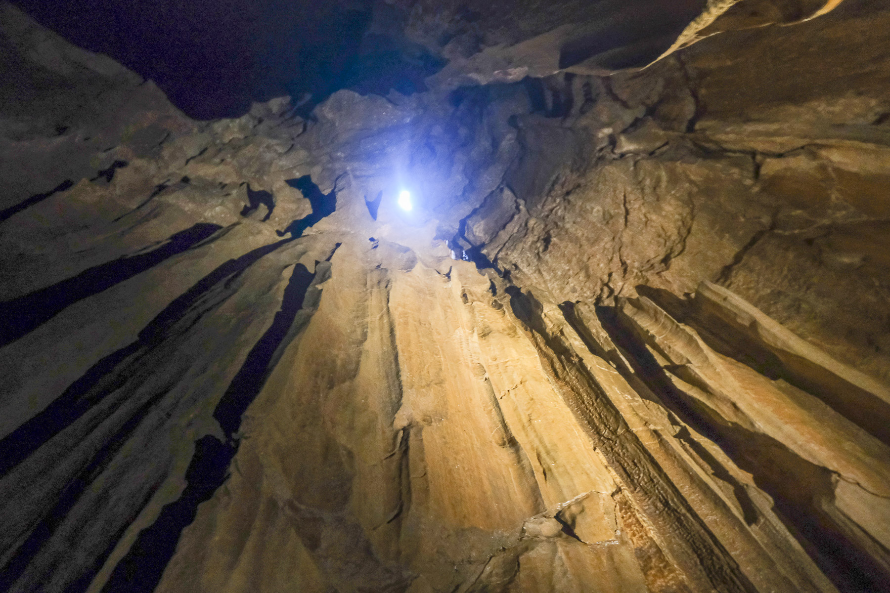
A caving experience on a ferrata-type route? Here's a highly original itinerary to discover in Dévoluy, by entering the Trou de la Tune and threading your way through a geological maze for an hour and a half by headlamp light. Itinerary 1 is the first loop, and you can follow it with itinerary 2, which is a little tougher, with a few more athletic but not too difficult sections. For caving novices, the most impressive thing is the underground atmosphere and the few holes you have to crawl through, head or feet first, fortunately over very short distances. In short, a unique via ferrata available to all, but not to the claustrophobic!
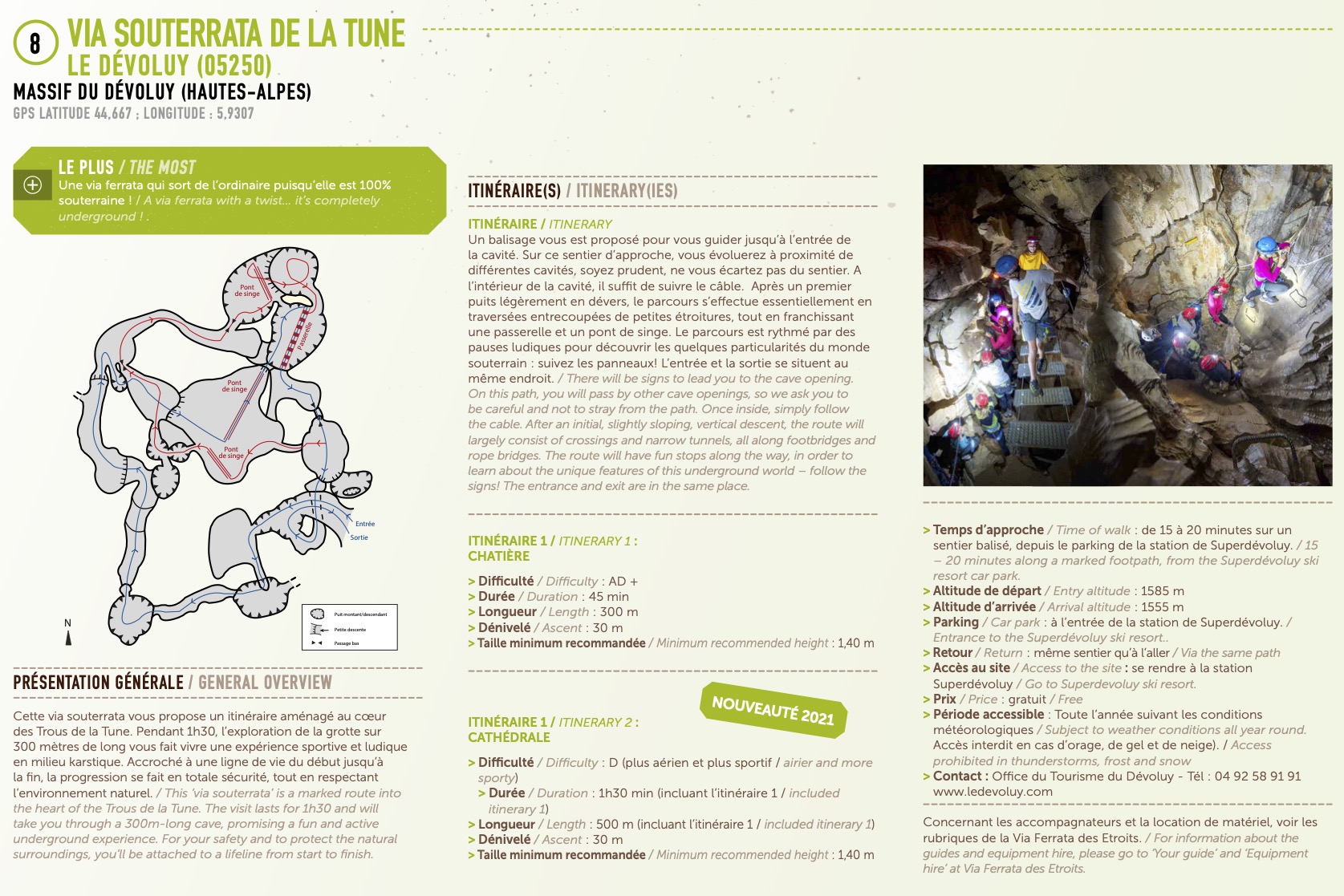
❱❱ Technical summary
■ S tarting point: Superdévoluy, Saint-Étienne-en-Dévoluy, Hautes-Alpes (05)
■ Type of route: underground via ferrata
■ Direction: north-west
■ Length: 370 m
■ Vertical rise: +30 m / - 30m
■ Estimated total time: 1h30 for the 2 linked routes
■ Min and max altitude: 1555m m / 1585m
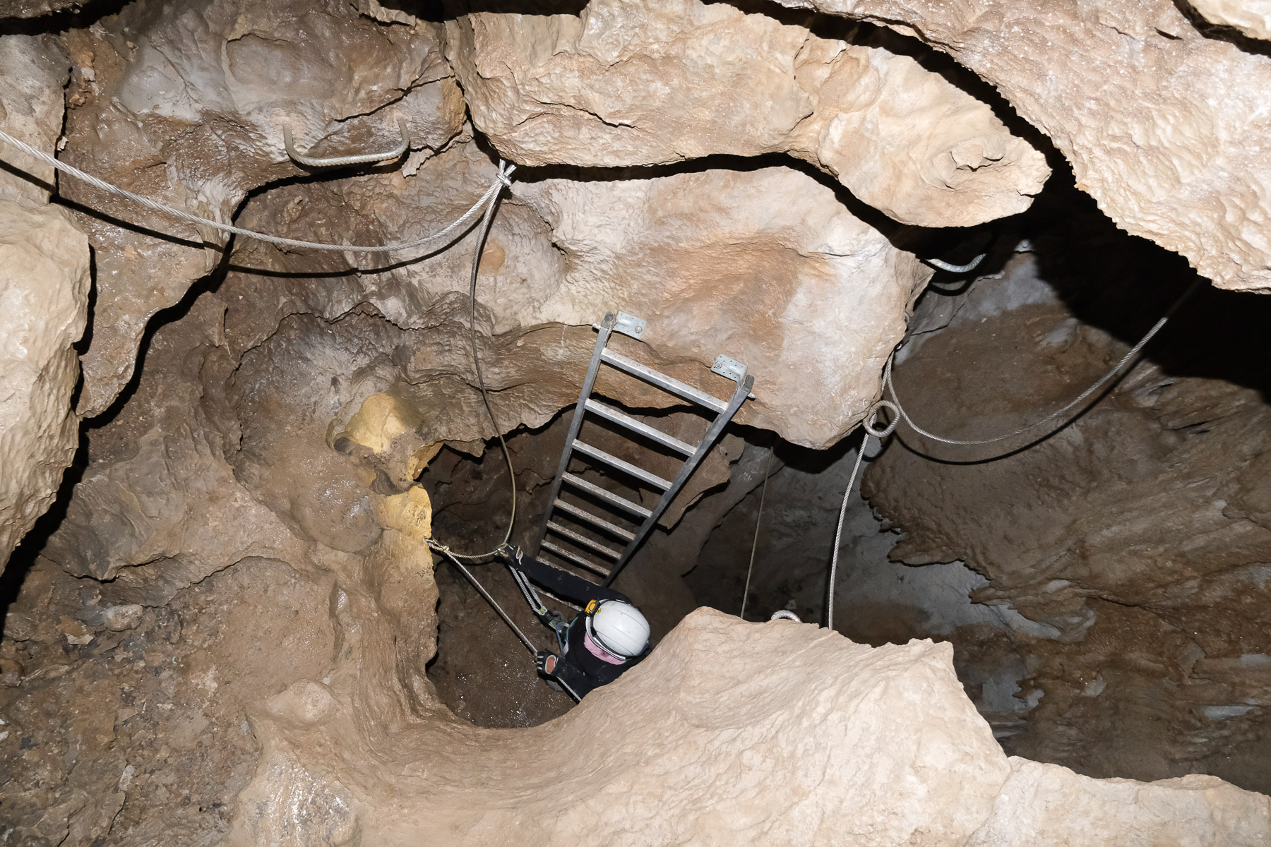
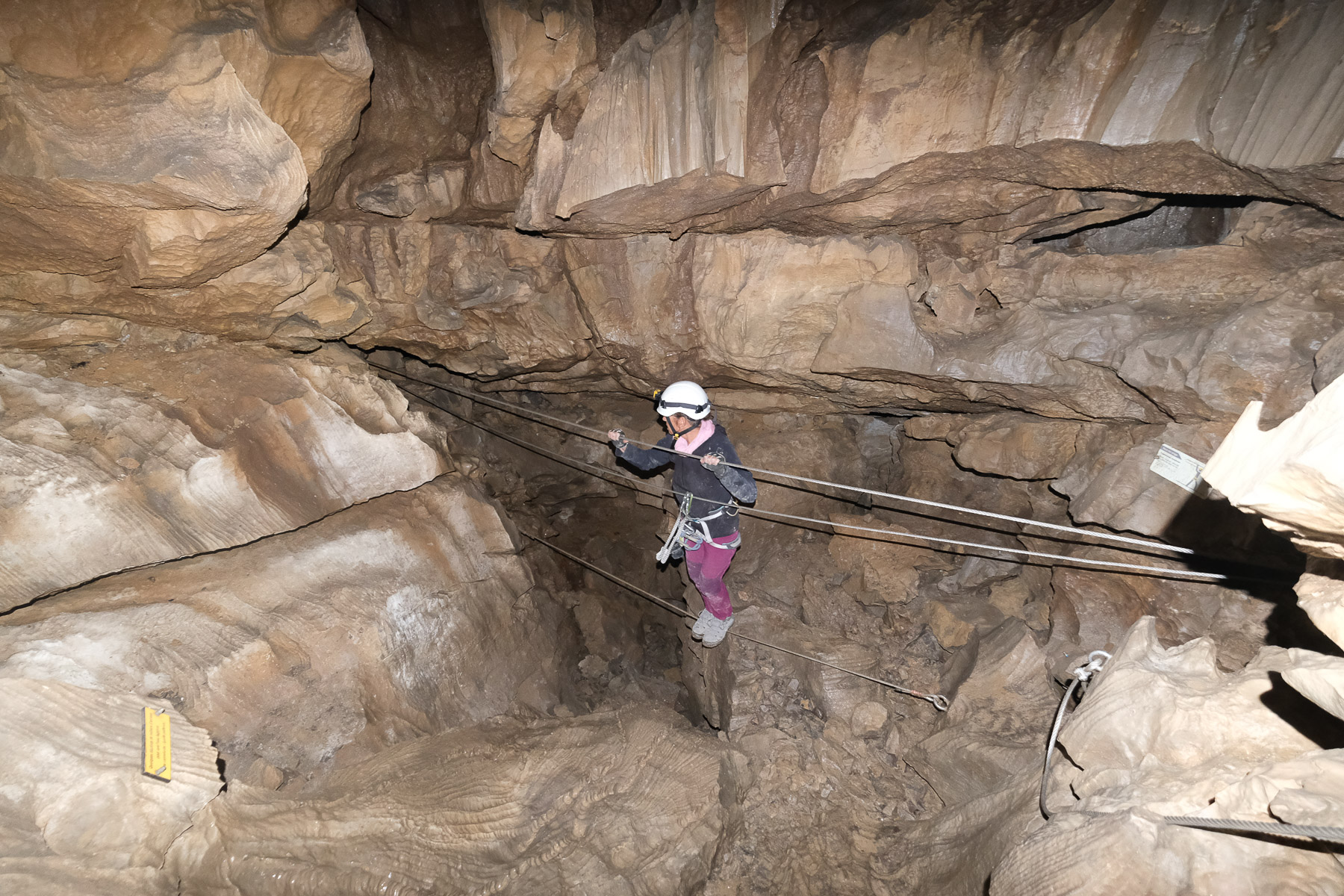
■ Equipment: excellent, 3 monkey bridges, 1 footbridge, 1 ladder
■ Equipment required: standard equipment, headlamp mandatory, mini rucksack
Difficulty: AD (route 1) / K2 then AD+ (route 2) / K2 then K3
❱❱ Access to the place
Go to the Super-Dévoluy resort above Saint-Étienne-en-Dévoluy. Park at the entrance to the resort, in front of Chalets de Margot.
❱❱ Map & topo
❱❱ Itinéraire
From the entrance to the Superdévoluy resort, in front of Chalets Margot, follow the signs for the via ferrata. You'll cross the chalets and then a road to follow a well-marked path that descends a little and then climbs up a large grassy slope to quickly find the entrance to the via ferrata on the right. Everything is very well signposted.
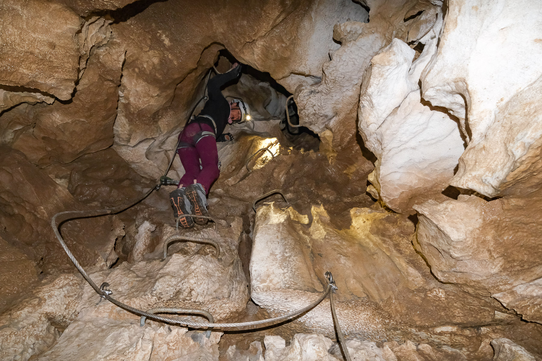
The route is perfectly equipped from one end to the other, with rungs and lifelines, 3 monkey bridges and a footbridge. Once you've entered the hole, it's hard to keep track of which direction you're going in, and you soon get the impression that you're going round in circles, all the more so as at certain points the course passes under your feet or over your head, forming ascending or descending spirals. The only thing to follow is the lifeline, to make sure you don't go wrong.
The wet, muddy atmosphere and the many narrow passages make for slow, messy progress. Make sure you wear sturdy clothing and avoid carrying a rucksack, which can get in the way in the narrowest sections. Taller people will have more difficulty in the narrower sections. Of course, a headlamp is absolutely essential!
Return to the Chalets Margot parking lot via the same route as the outward journey.
Topo on the official Dévoluy website


Leave a Reply