


TOPO Hiking | CLIMBING7.COM
Publié le
 Partager sur WhatsApp
 Partager sur Twitter
Partager sur Instagram
Partager sur Twitter
Partager sur Instagram

 Partager sur Facebook
 Imprimer le topo
 Laisser un commentaire

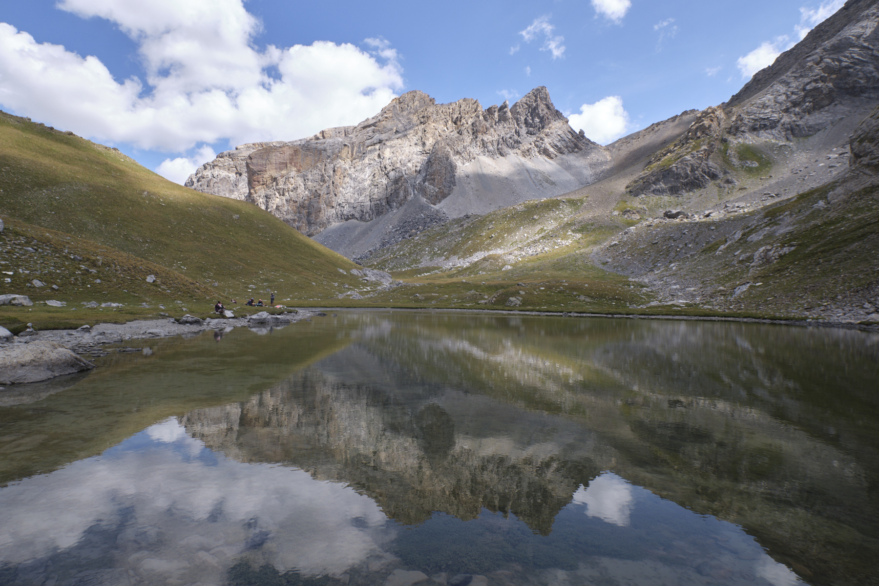
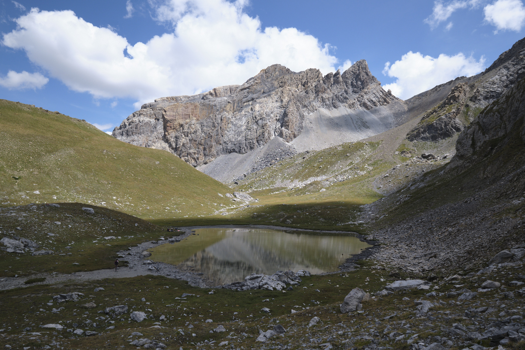
From the upper Ubaye valley, starting from the village of Fouillouse, the hike to the head of Plate Lombarde climbs quietly up the Plate Lombarde valley to come to a position on the opposite side of the Col du Vallonnet. From here, the view is magnificent, with the Plate Lombarde and Vallonnet Supérieur lakes below and the imposing peaks of Rocca Blanca (3193m), Massour (3219m) and Tête des Bréquets (3034m) all around. An accessible, well-marked itinerary, following the route of the GR 5 on the way up and the GRP on the way back, well worth the detour to discover the landscapes of Haute-Ubaye.
❱❱ Technical summary
► Geographical situation :
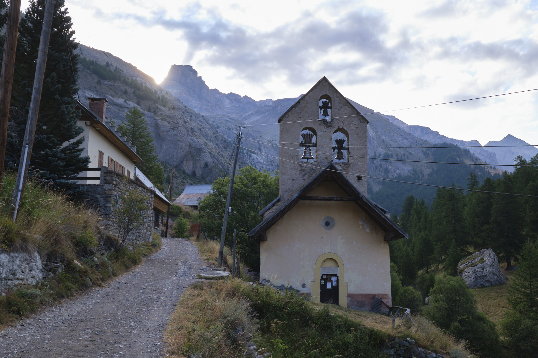
■ S tarting point: village of Fouillouse, above Saint-Paul-sur-Ubaye, Alpes-de-Haute-Provence (06)
■ Type of route: almost round-trip high-mountain hike
■ Distance: 11.7 km
■ Cumulative elevation gain: +695 m
■ Cumulative negative altitude gain: -695 m
■ Estimated total time: 3h30 to 4h30
■ Min and max altitude: 1900 m / 2609 m
■ Markings: GR5 and GRP
■ Equipment: none
■ Equipment required: none
Difficulties: the short ascent and descent of the Tête de Plate Lombarde is steep and off-trail, but not too difficult.
❱❱ Access to the place
After Barcelonette, take the D900 towards Jausiers. Then continue towards Vars to Saint-Paul-sur-Ubaye on the D902. From there, follow the D25 towards La Fouillouse. The final stretch of the road is impressive: you pass over the incredible Pont du Châtelet suspended over a narrow 110m above the Ubaye, then a tunnel and a series of dizzying switchbacks. Not much room to pass each other. Just before the village, a large compulsory parking lot. Starting point of the itinerary.
❱❱ Map & topo
Voir en plein écran❱❱ Itinéraire
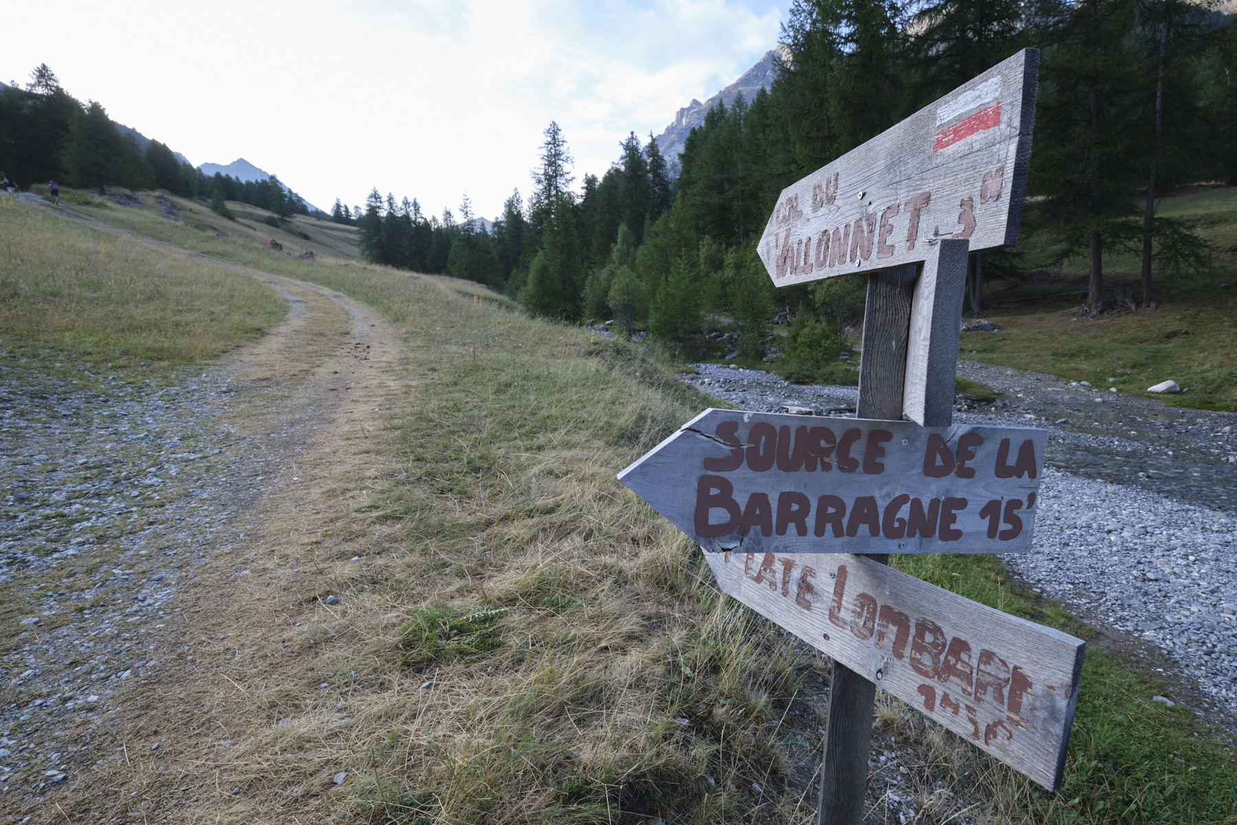
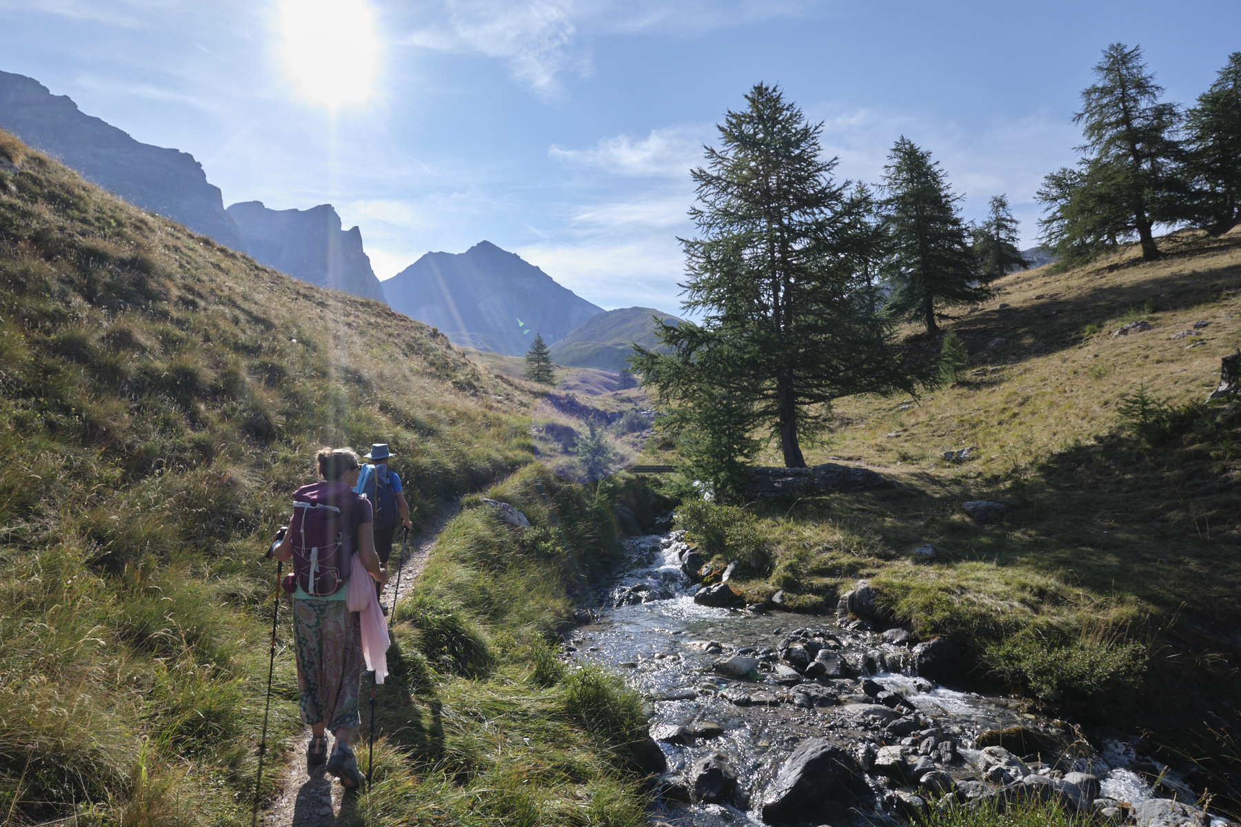
From the parking lot, climb up to and through the village. After Fouillouse, follow the track until it forks to cross the Baragne torrent. Here, an old wooden sign indicates Plate Lombarde.
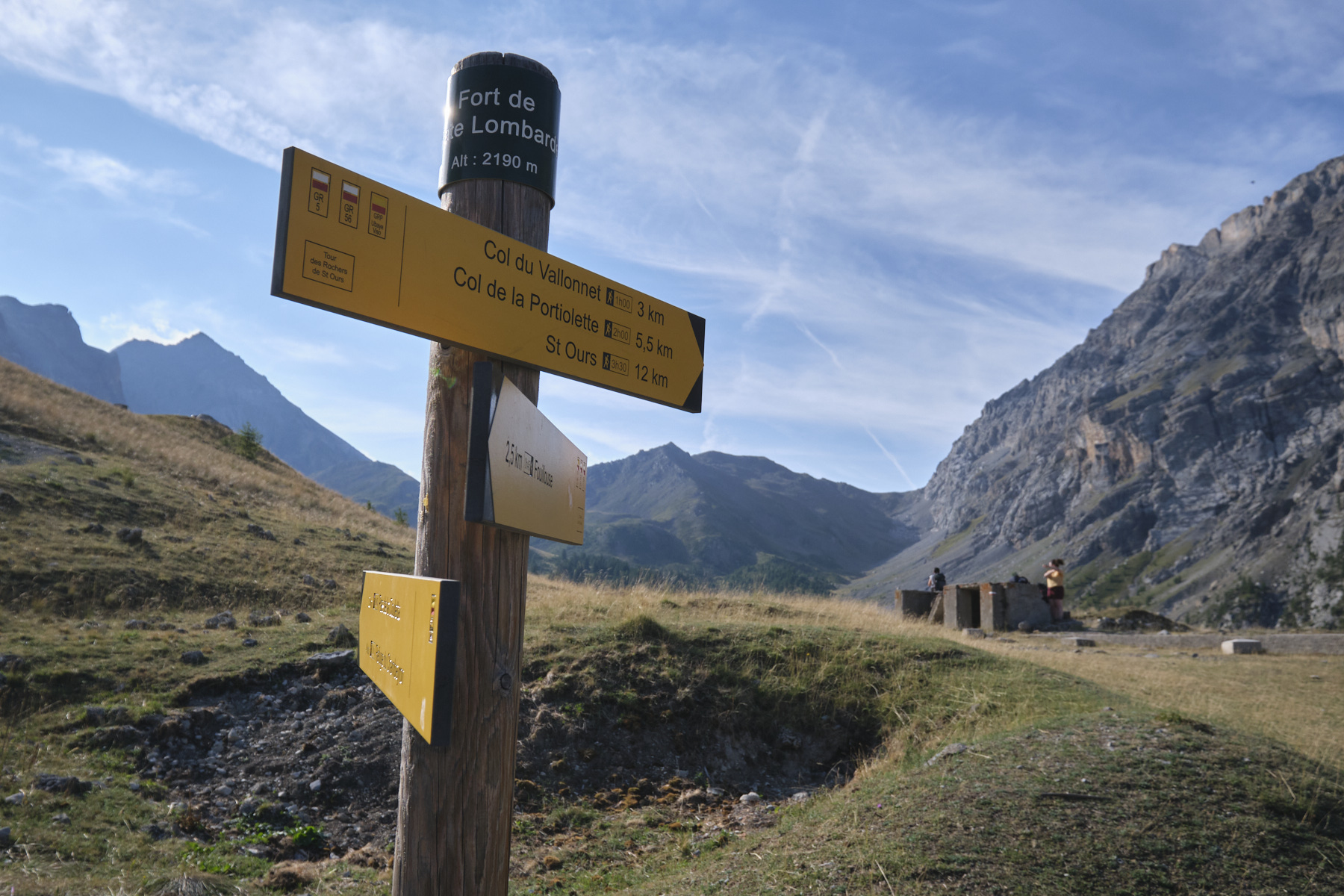
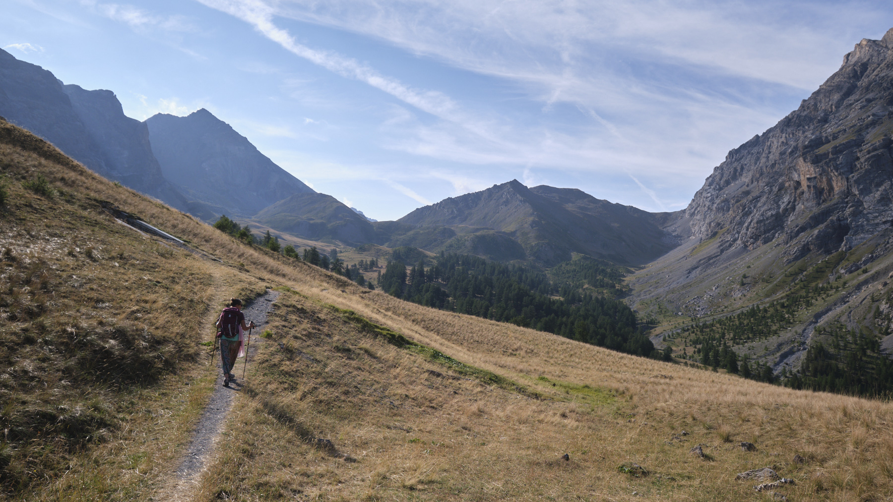
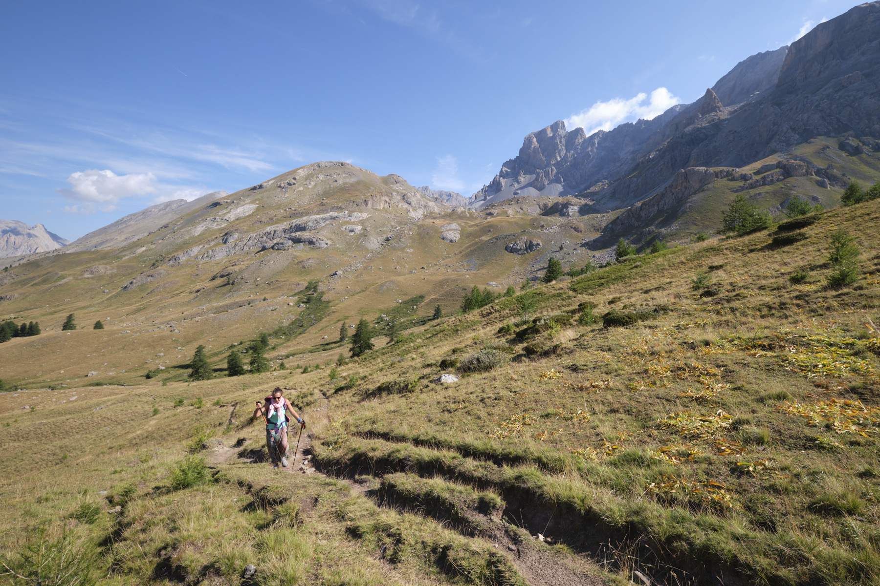
Go straight up on the track, which climbs gently into the forest to reach the military structures of an old fort. At this point, the path forks to the left towards the Aupets valley (return path). Continue straight ahead into the opening valley. You can already see the Tête de Plate Lombarde, like a hill rising timidly amid the great walls. For most of the way, the slope is very gradual, sometimes flattening out to approach the base of the Tête de Plate Lombarde. The path then twists and turns more steeply to reach the Col du Vallonnet at 2524m, at the foot of the grassy pyramid of the Tête de Plate Lombarde.
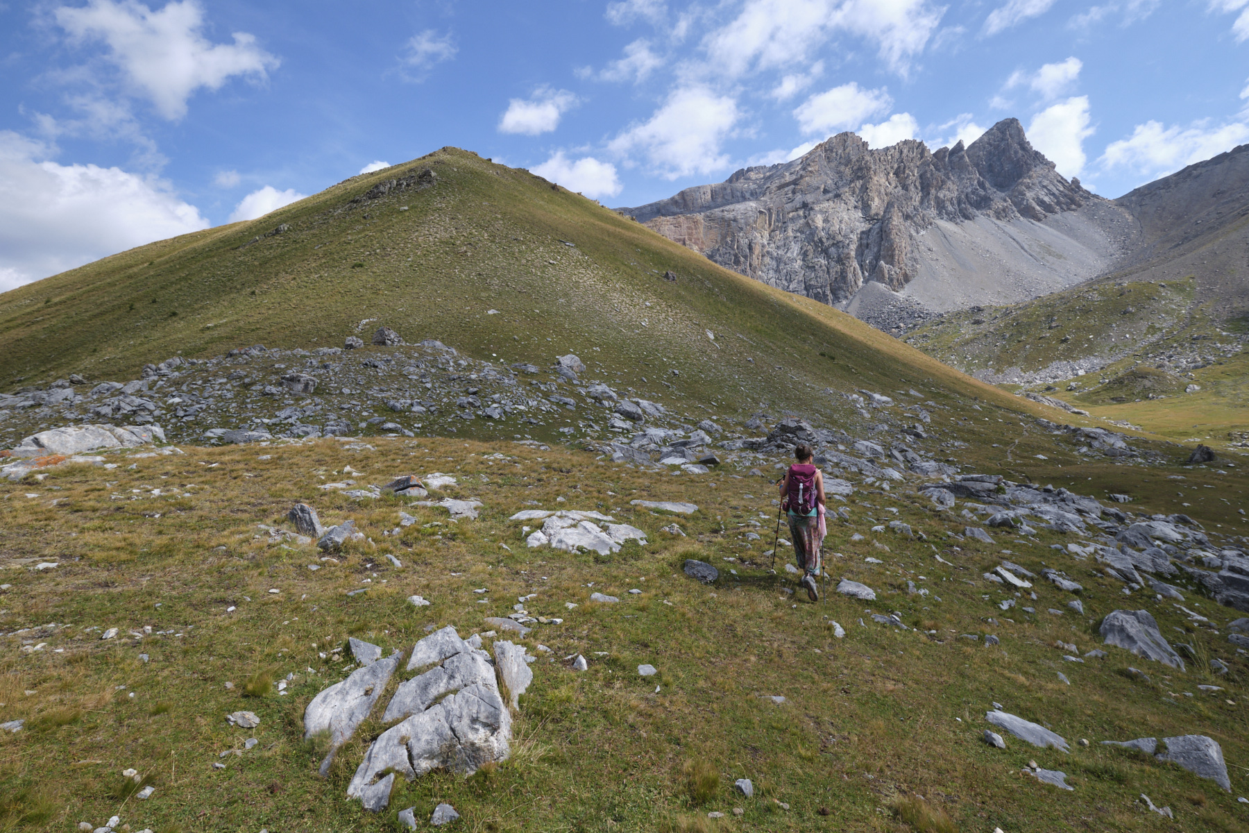
From the col, climb due north up the southern flank of the pyramid, improvising your route without too much difficulty. You soon reach the summit, which forms a sort of elongated, rocky flat in places. There's a 360° panoramic view of the surrounding peaks and lakes, with the Baraquements de Vyraisses and the Col de Mallemort in the background.
From the summit of Tête de Plate Lombarde, descend off-piste, aiming for Lac du Vallonnet Supérieur. Then head north, skirting the pyramid on the right and passing the foot of the Col de Stroppia, the Italian border, at the Vallon de Plate Lombarde.
Descend following the GRP path which gradually returns to the Plate Lombarde fort. Continue downhill on the outward path to return to the village of Fouillouse and then to the starting parking lot.


Leave a Reply