


TOPO Ski Touring | CLIMBING7.COM
Publié le
 Partager sur WhatsApp
 Partager sur Twitter
Partager sur Instagram
Partager sur Twitter
Partager sur Instagram

 Partager sur Facebook
 Imprimer le topo
 Laisser un commentaire

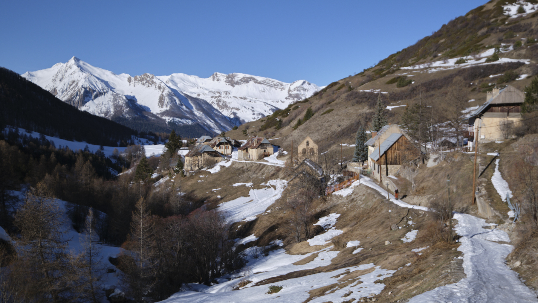
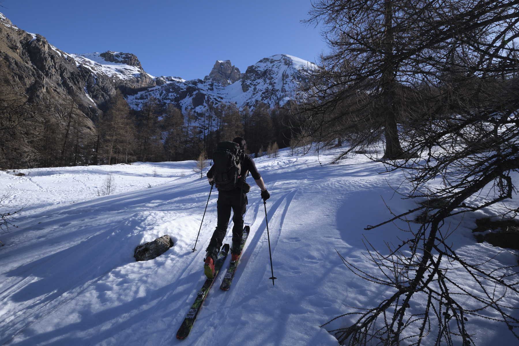
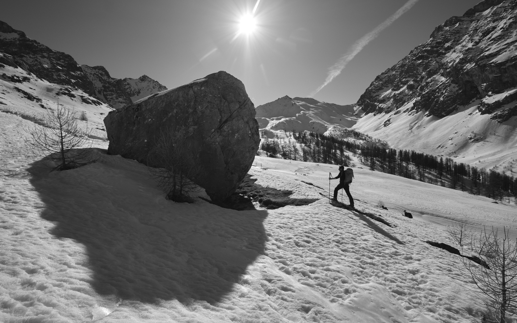
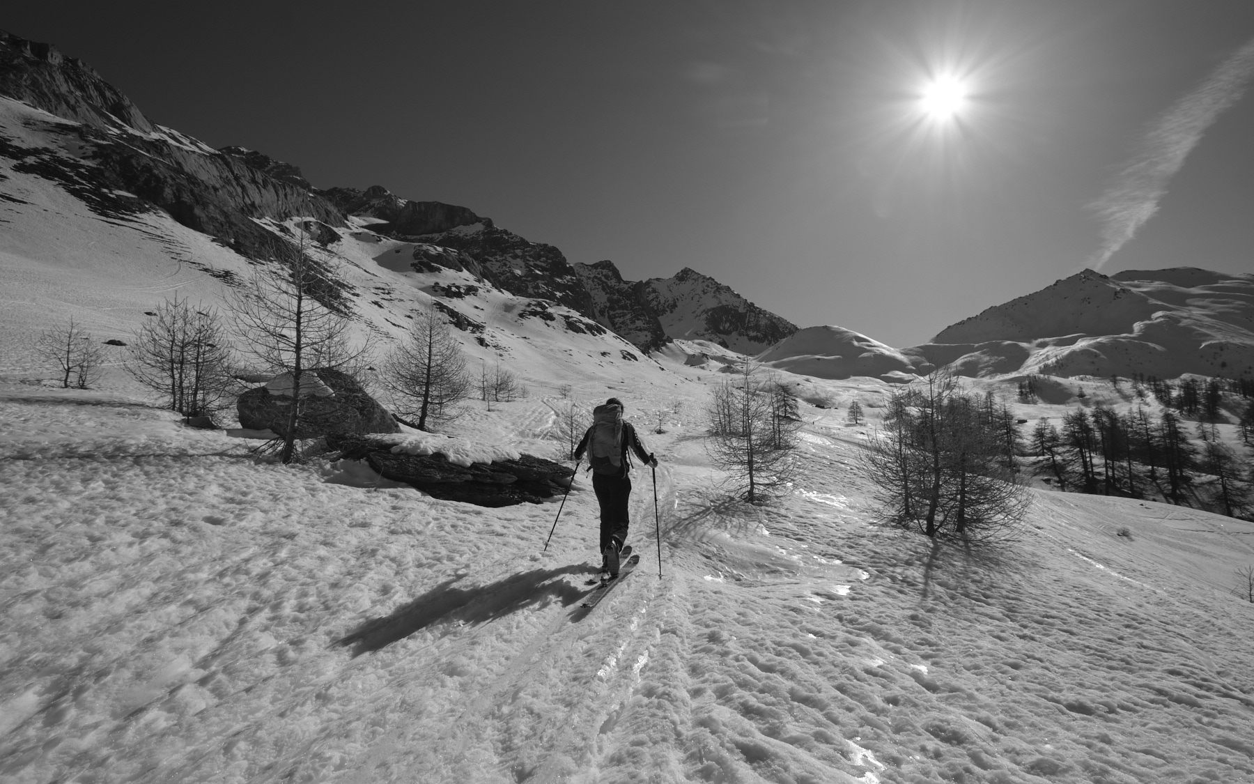
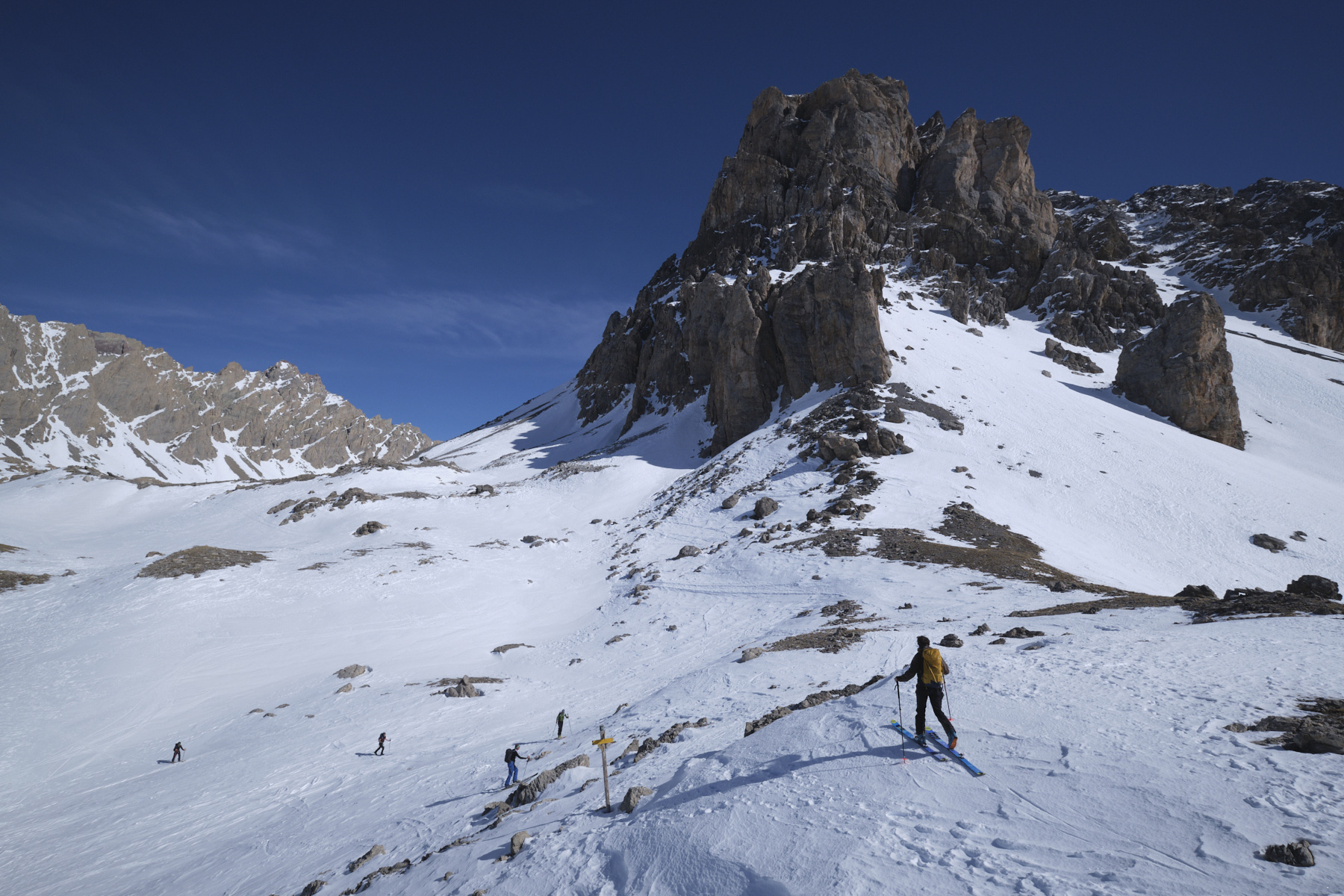
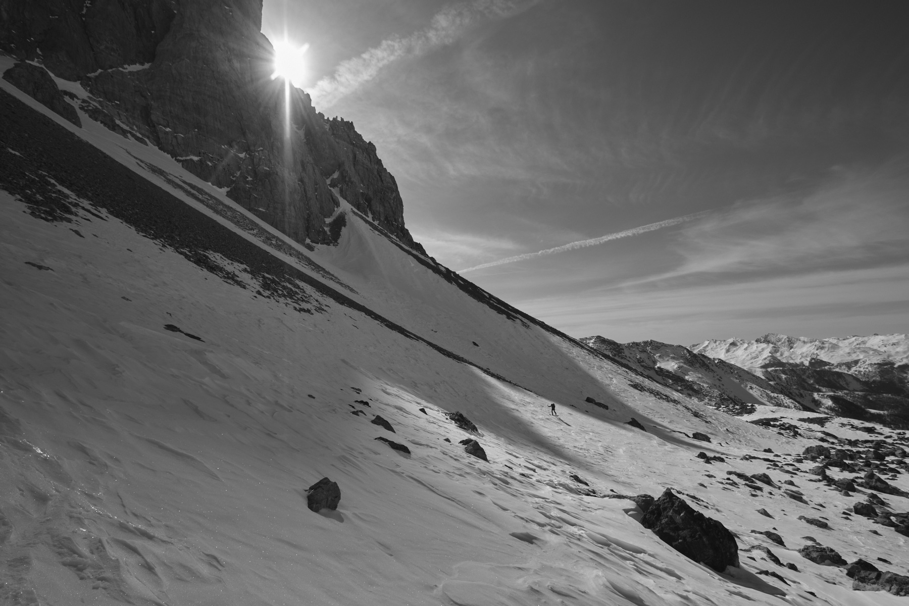
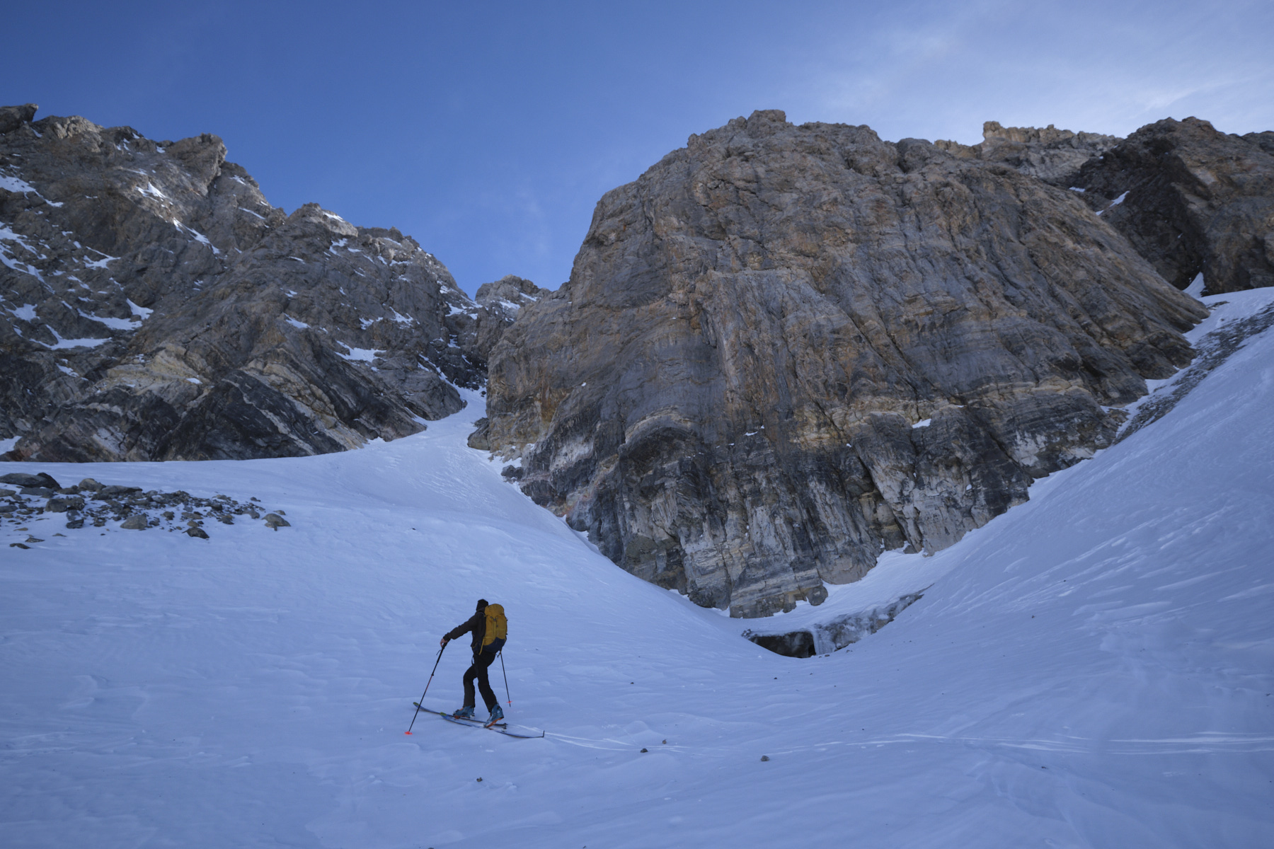
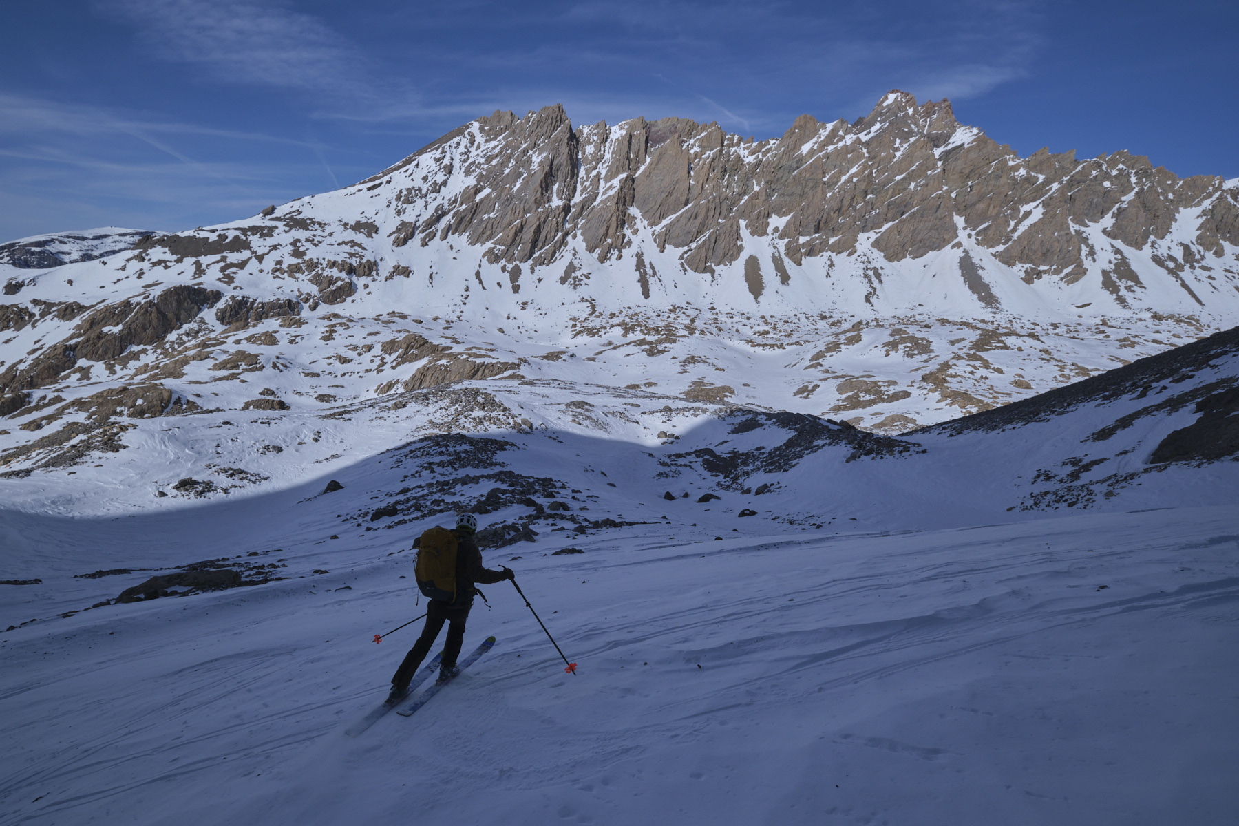
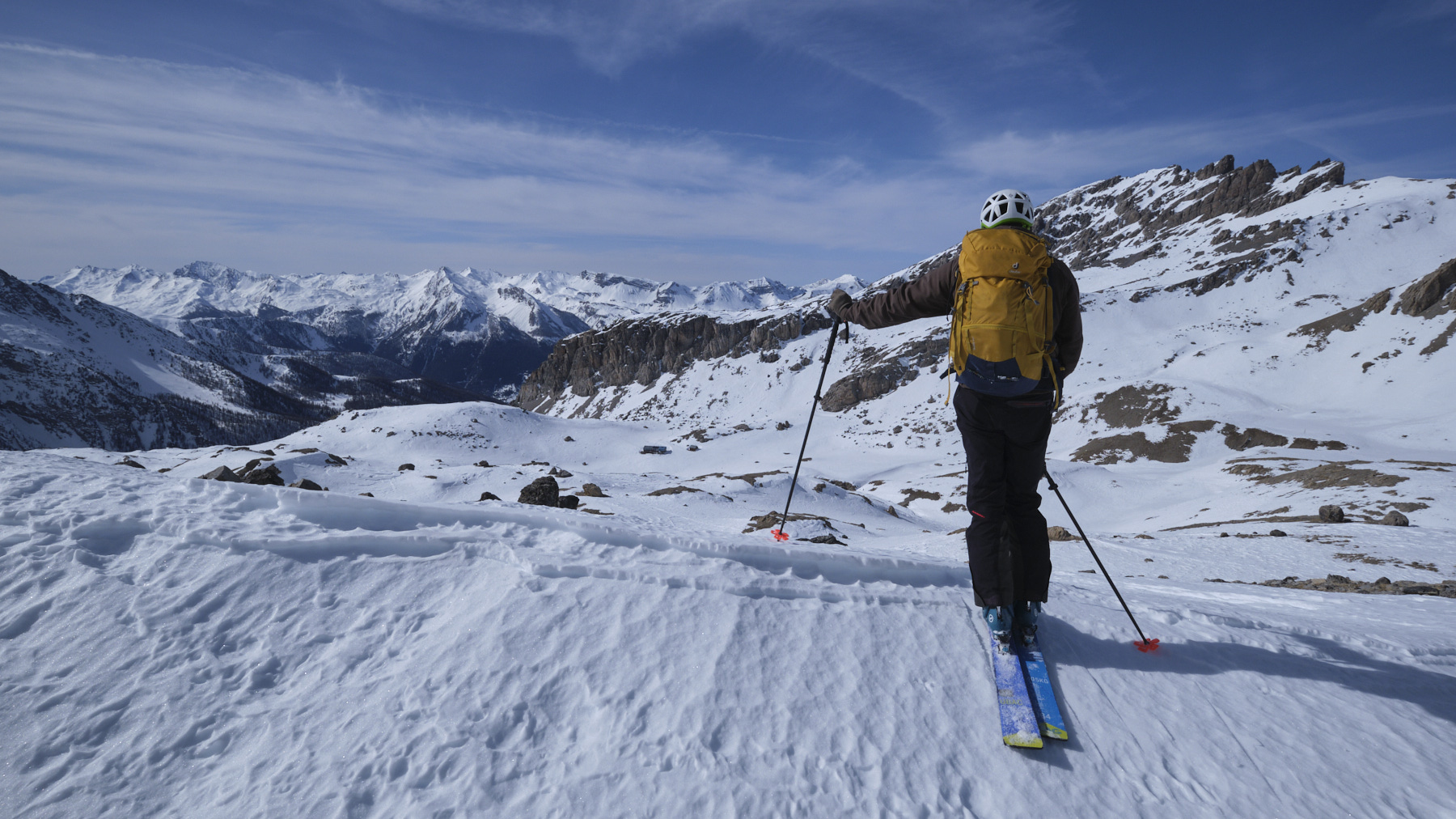
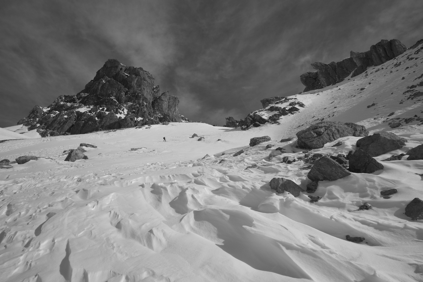
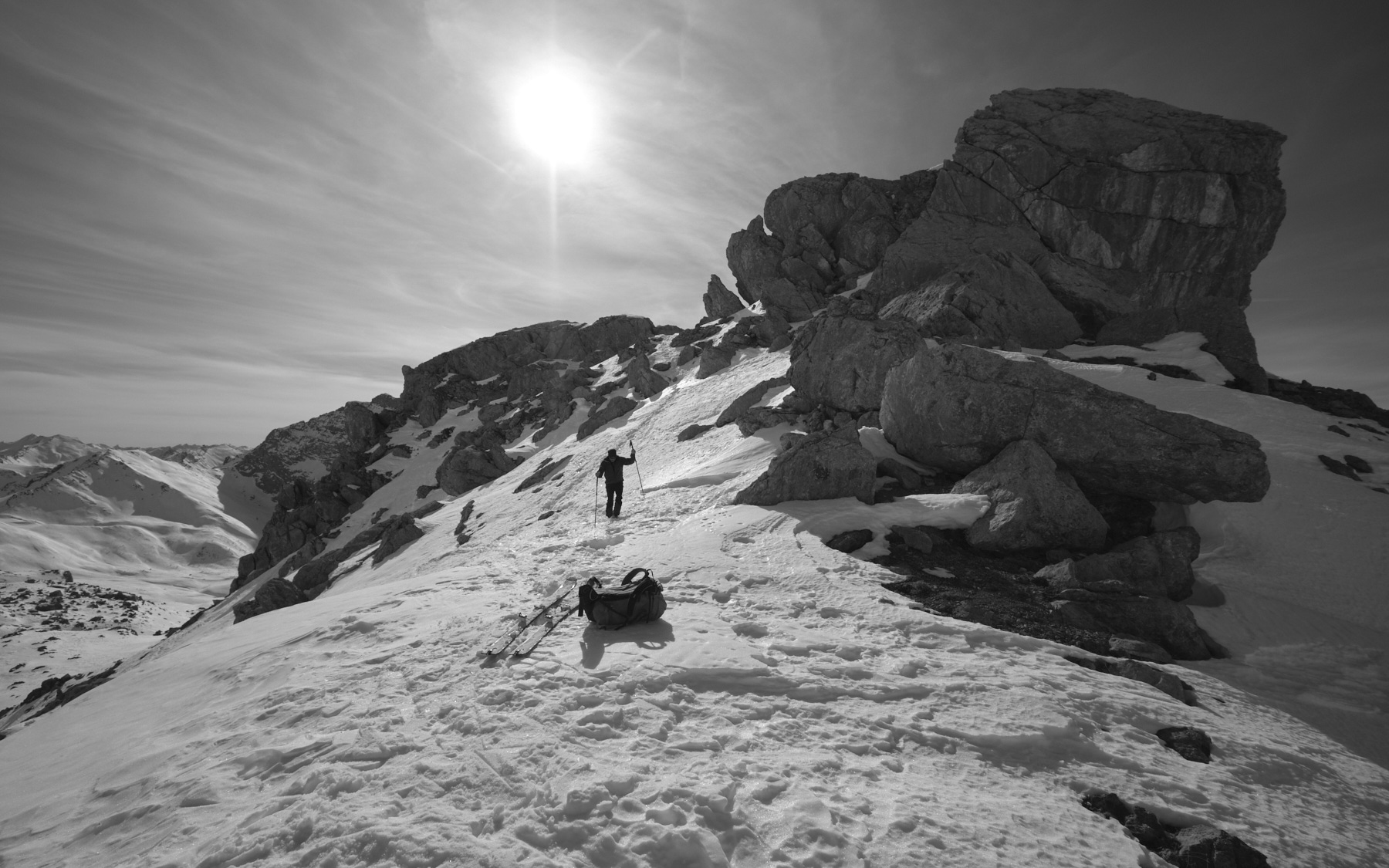
Spectacular ride in the magical setting of Brec and Aiguille de Chambeyron. From the hamlet of Fouillouse, the quiet ascent of the Plate Lombarde valley is already worth the detour. Then, at the level of the old fort, the route climbs northwards to reach the Pas de la Couletta, which gives access to the upper basin where you'll find the Chambeyron refuge and the high-altitude lakes. The impressive Brec de Chambeyron dominates and gives a unique character to the landscape, facing the great rocky barrier of the Aiguilles de Chambeyron a little further north. Further on, you can continue to Lac des Neuf Couleurs and climb to the Col de la Gypière, eventually reaching the Tête de la Fréma at an altitude of over 3150m. A final option is to go around the Brec de Chambeyron on the Italian side and return to the Plate Lombarde valley via the Col de Stroppia.
❱❱ Technical summary
► Itinerary : Ski touring. 1180m ascent and 16 kilometers distance (ascent and descent according to our itinerary to the foot of the Bujon couloir). Maximum altitude of 2950m at the entrance to the Bujon couloir at the foot of Brec de Chambeyron.
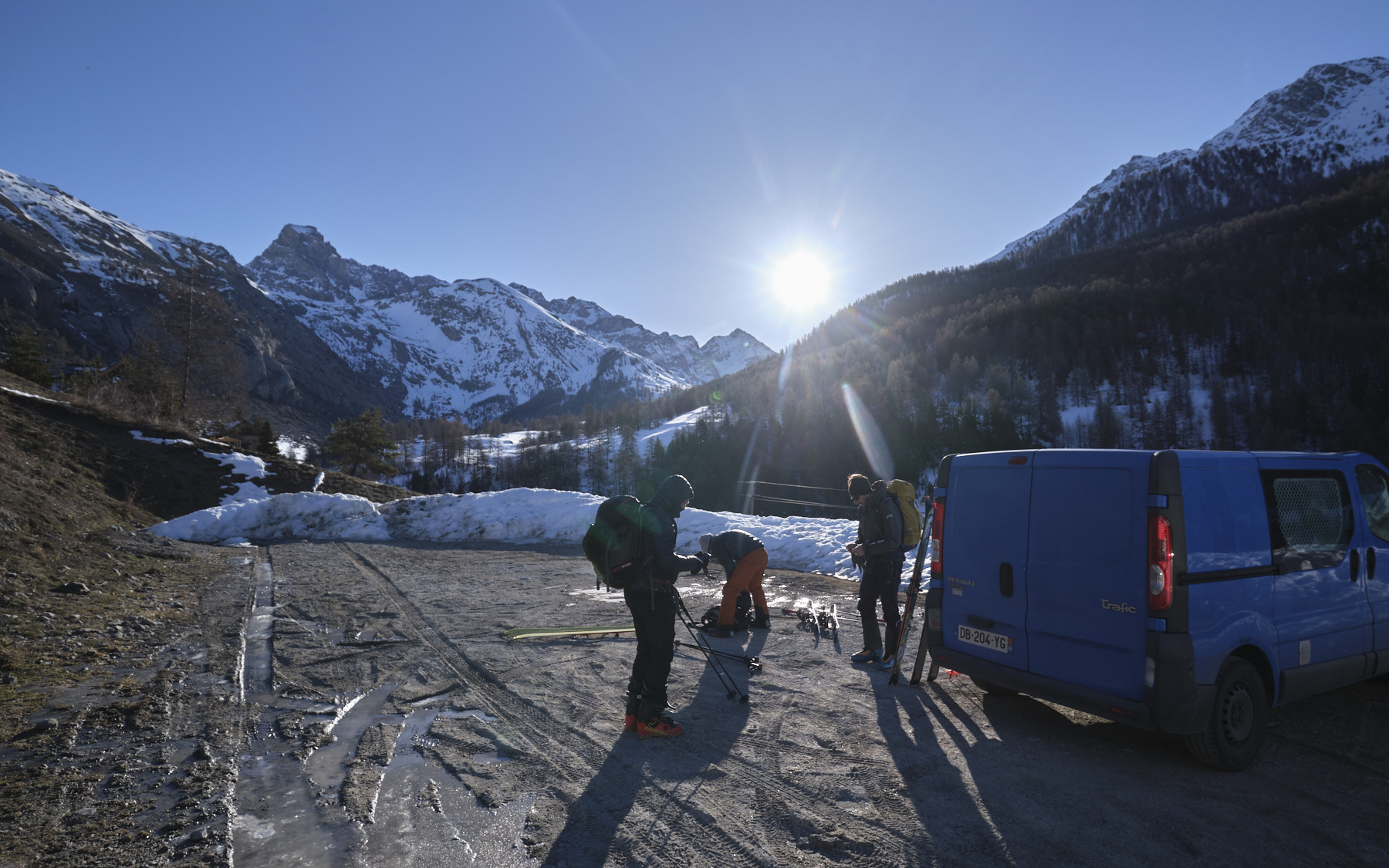
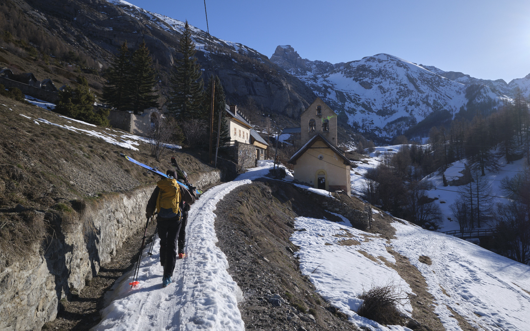
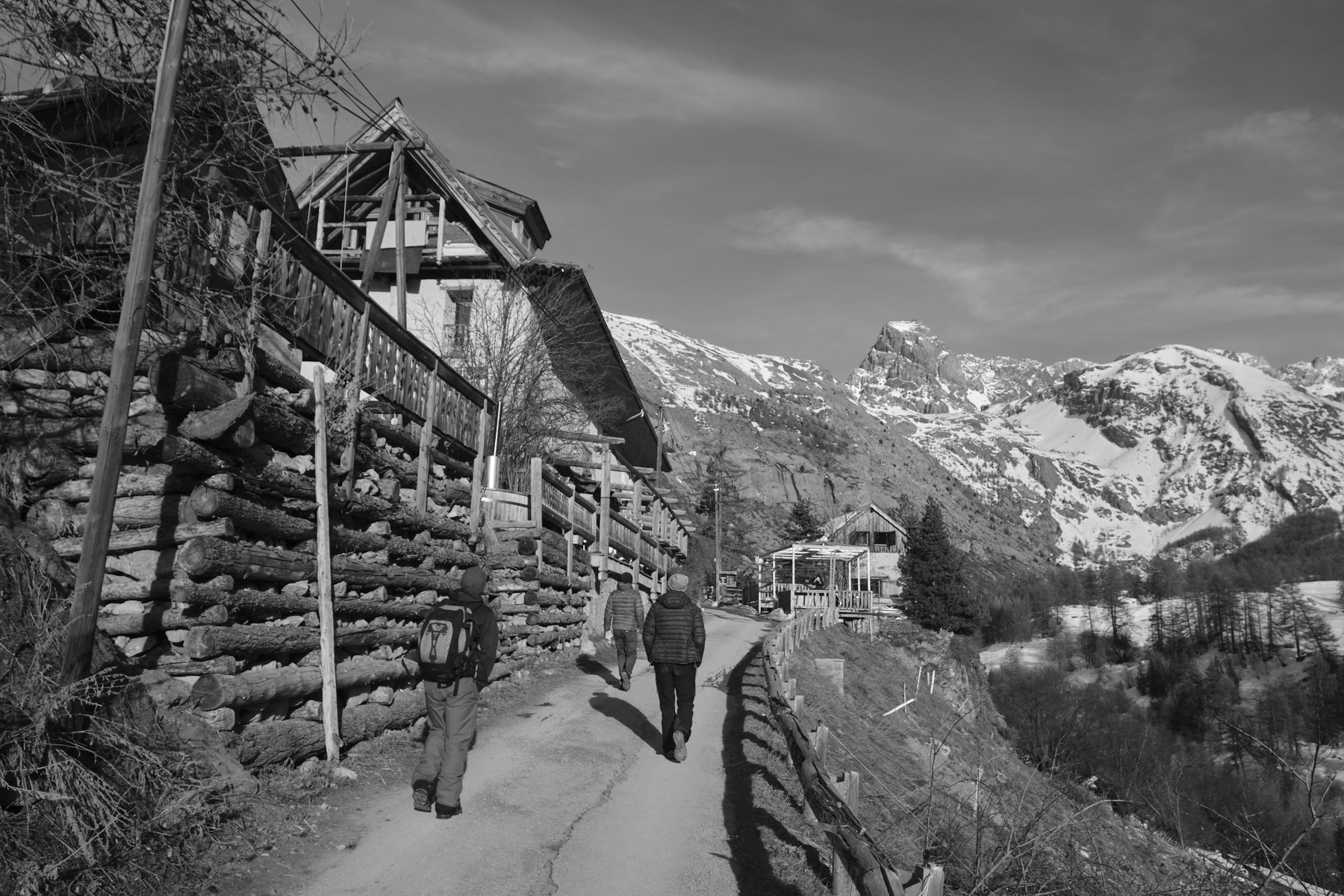
► Geographical situation : Departure from Fouillouse at 1900m, just above Saint-Paul-sur-Ubaye, in Alpes-de-Haute-Provence (04).
► Technical difficulties : No difficulty up to the Pas de la Couletta. The ascent from the refuge is steep and may require knives (on our route).
► Orientation : All
► General review : A spectacular and accessible ride in the magical setting of Brec and Aiguille de Chambeyron.
❱❱ Access to the place
After Barcelonnette, take the D900 up to Col de Larche. After Jausiers and La Condamine-Châtelard, turn left onto the D902 to reach Saint-Paul-sur-Ubaye. Here, follow the narrow D25 road into the upper Ubaye valley. Further on, turn sharp right onto the mini-overhead road to Fouillouse. Cross the Chatelet bridge, built at the end of the 19th century to cross the Chatelet lock for 30m, but 108m above the torrent! Continue along the steep, winding road to reach the hamlet at 1900m altitude. Park in the parking lot before entering the hamlet.
❱❱ Map & topo
The itinerary is indicative for both the ascent and descent, drawn up after the outing.
Voir en plein écran❱❱ Itinéraire


Leave a Reply