


TOPO Alpinism | CLIMBING7.COM
Publié le
 Partager sur WhatsApp
 Partager sur Twitter
Partager sur Instagram
Partager sur Twitter
Partager sur Instagram

 Partager sur Facebook
 Imprimer le topo
 Laisser un commentaire
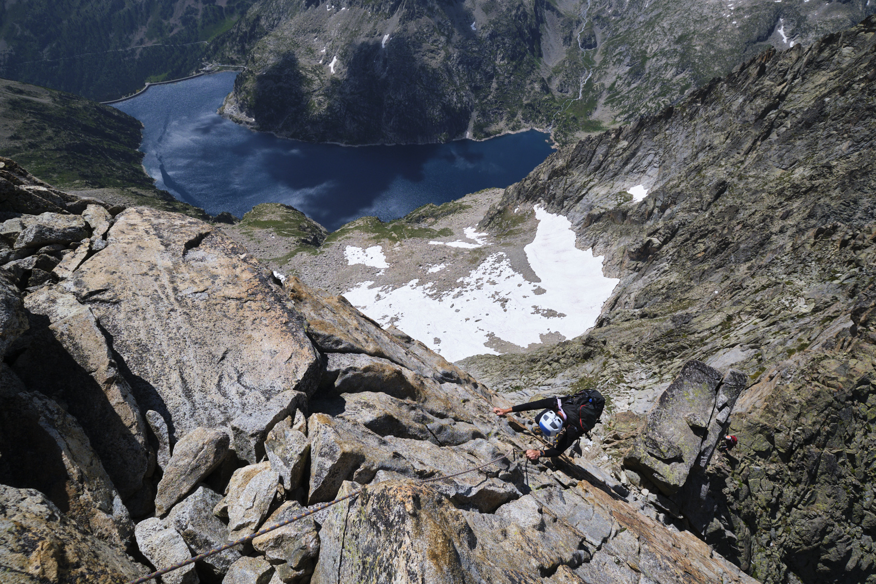
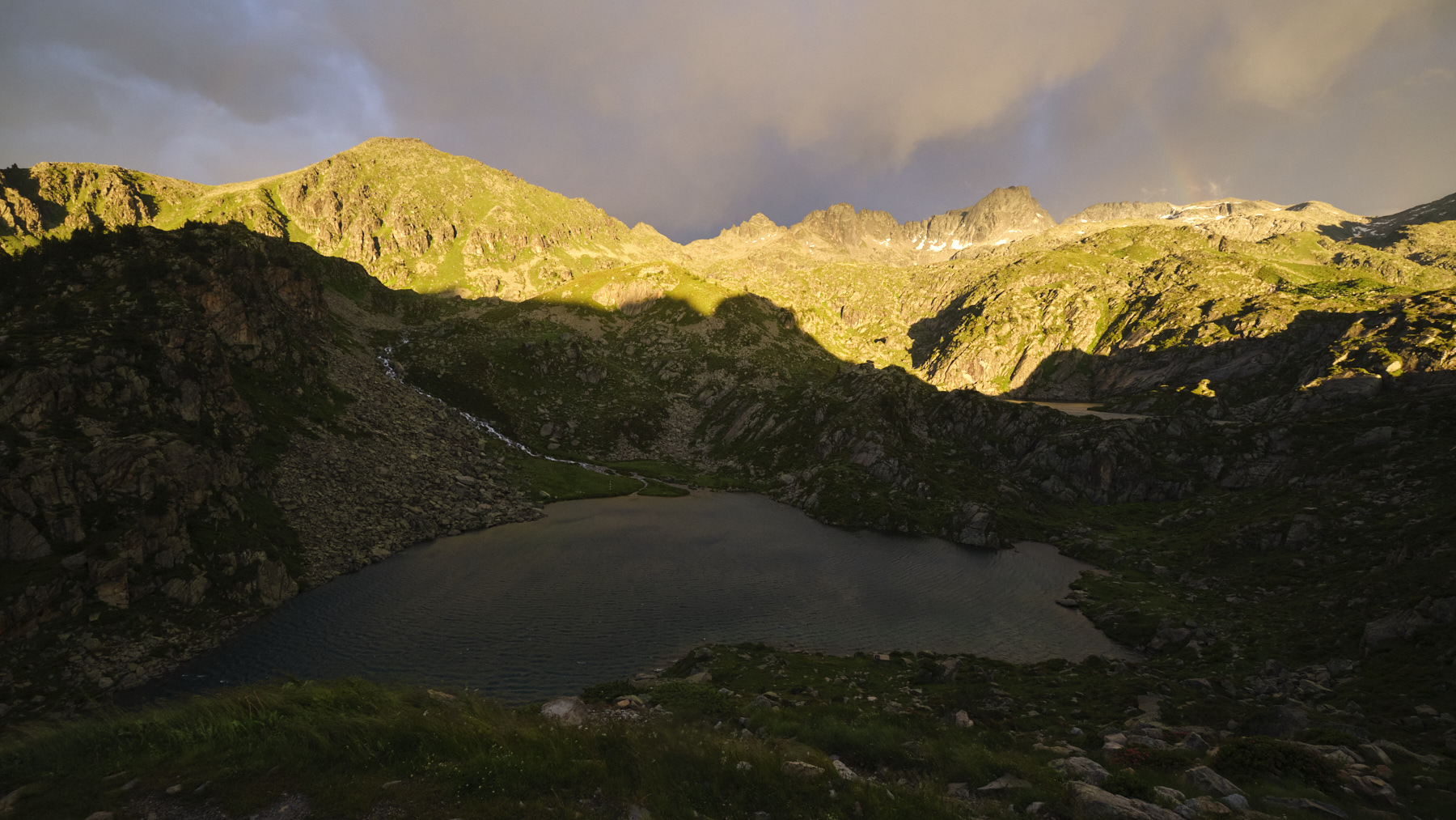
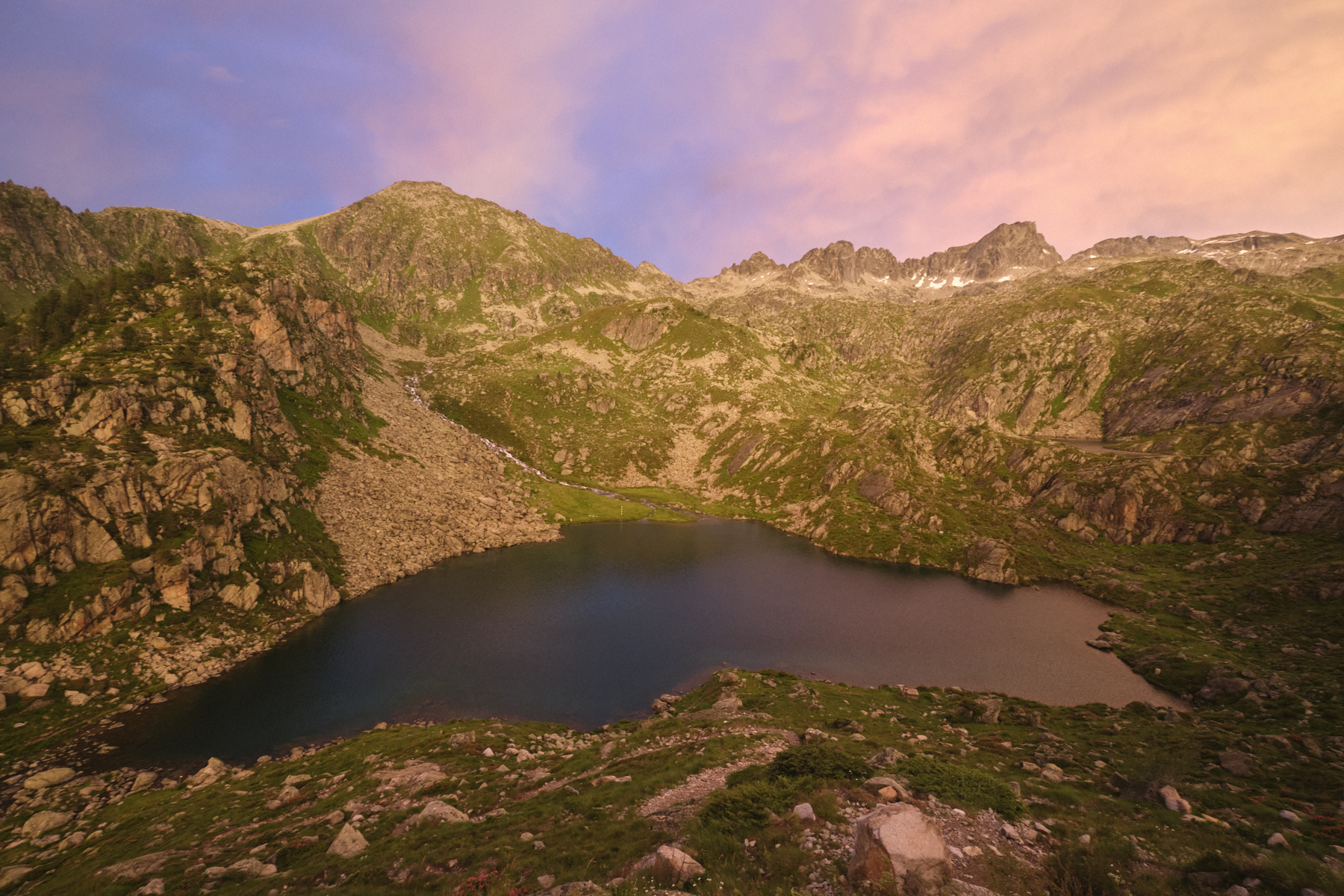
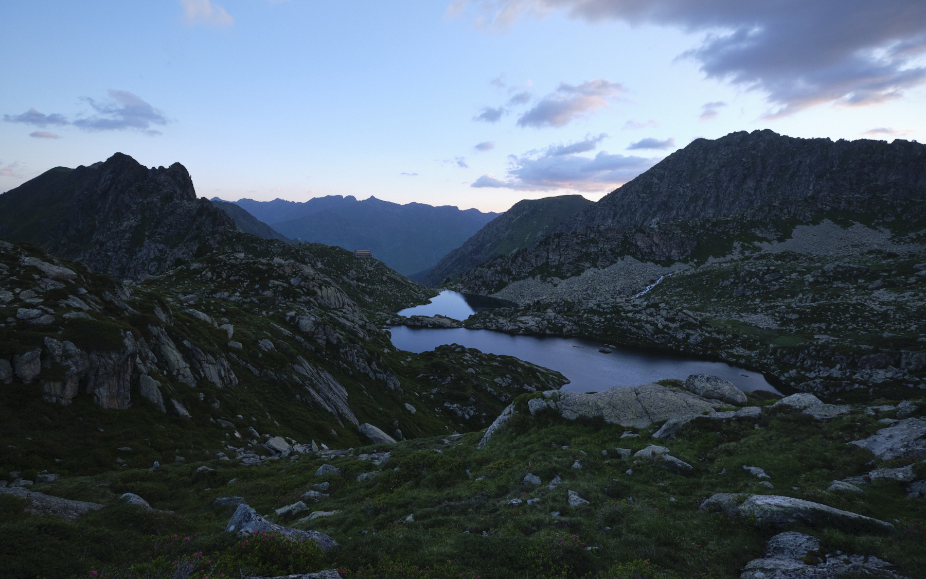
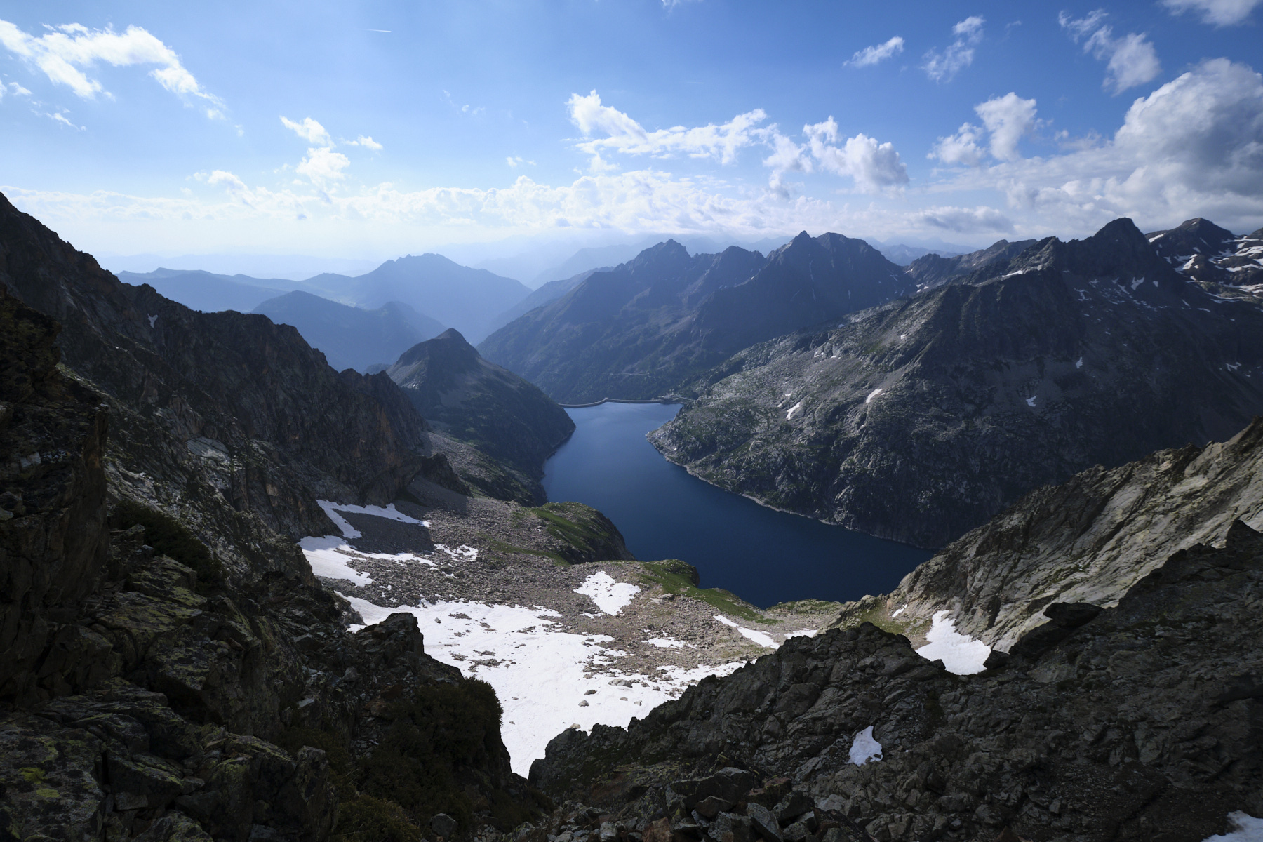
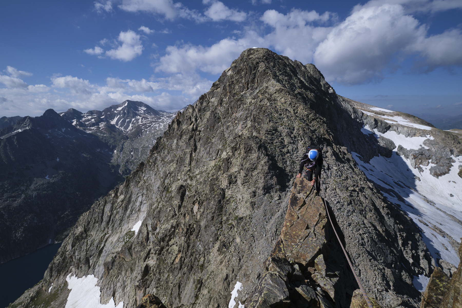
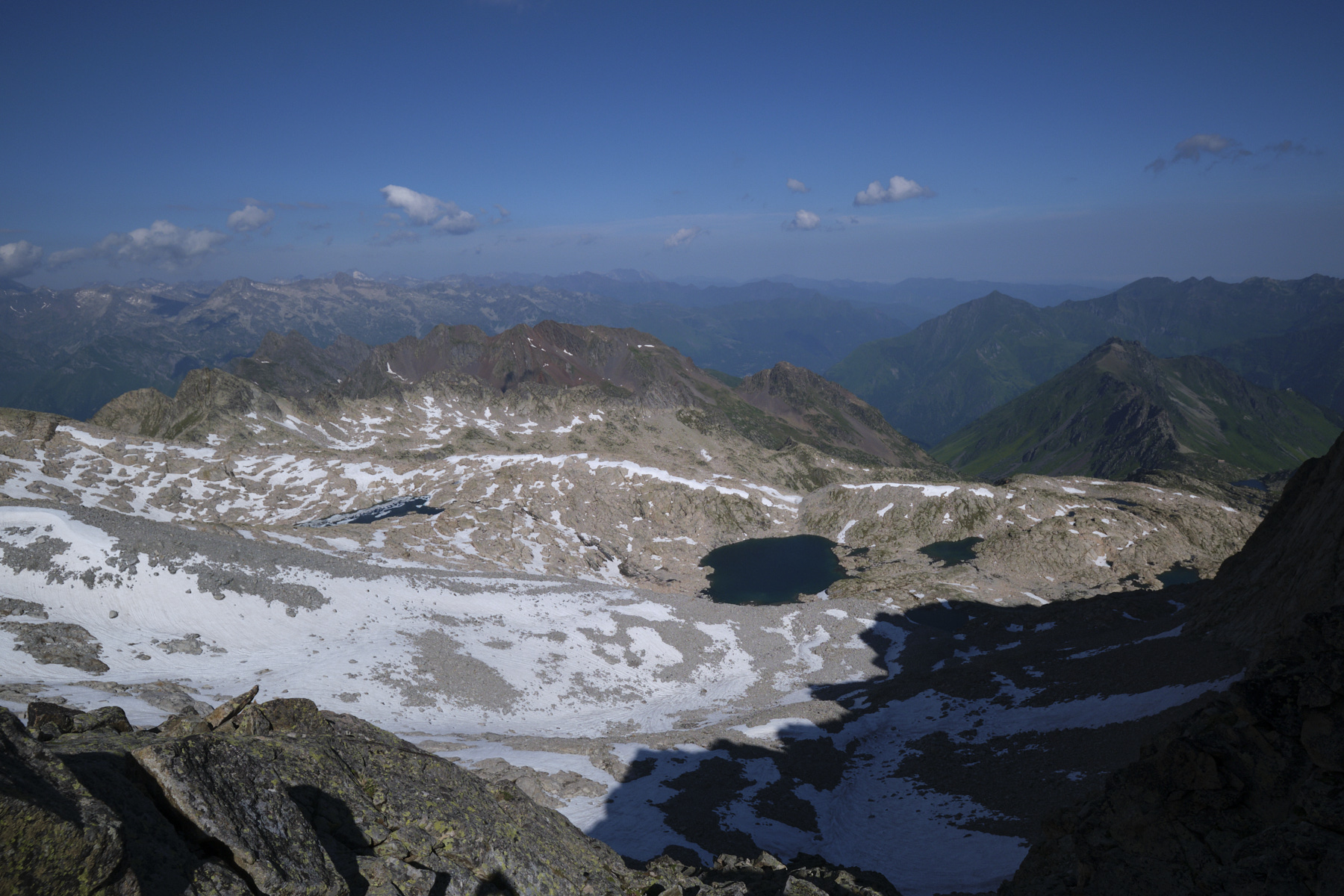
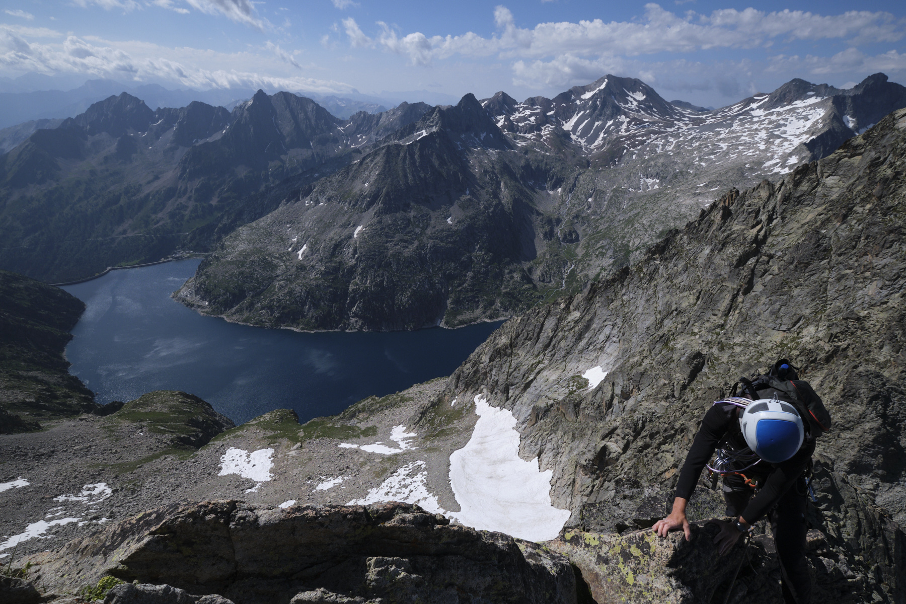
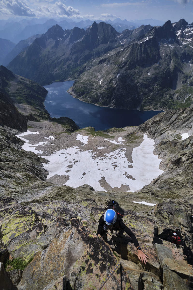
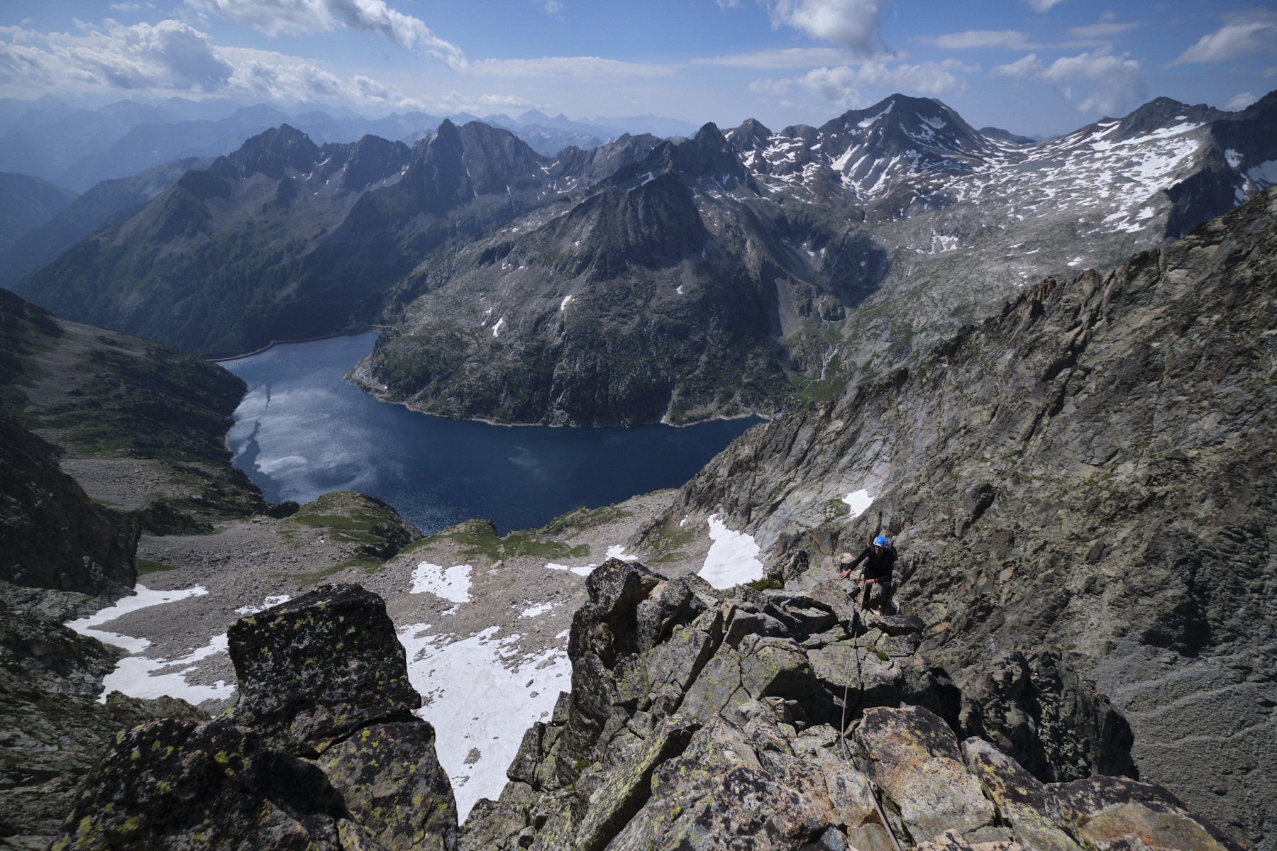
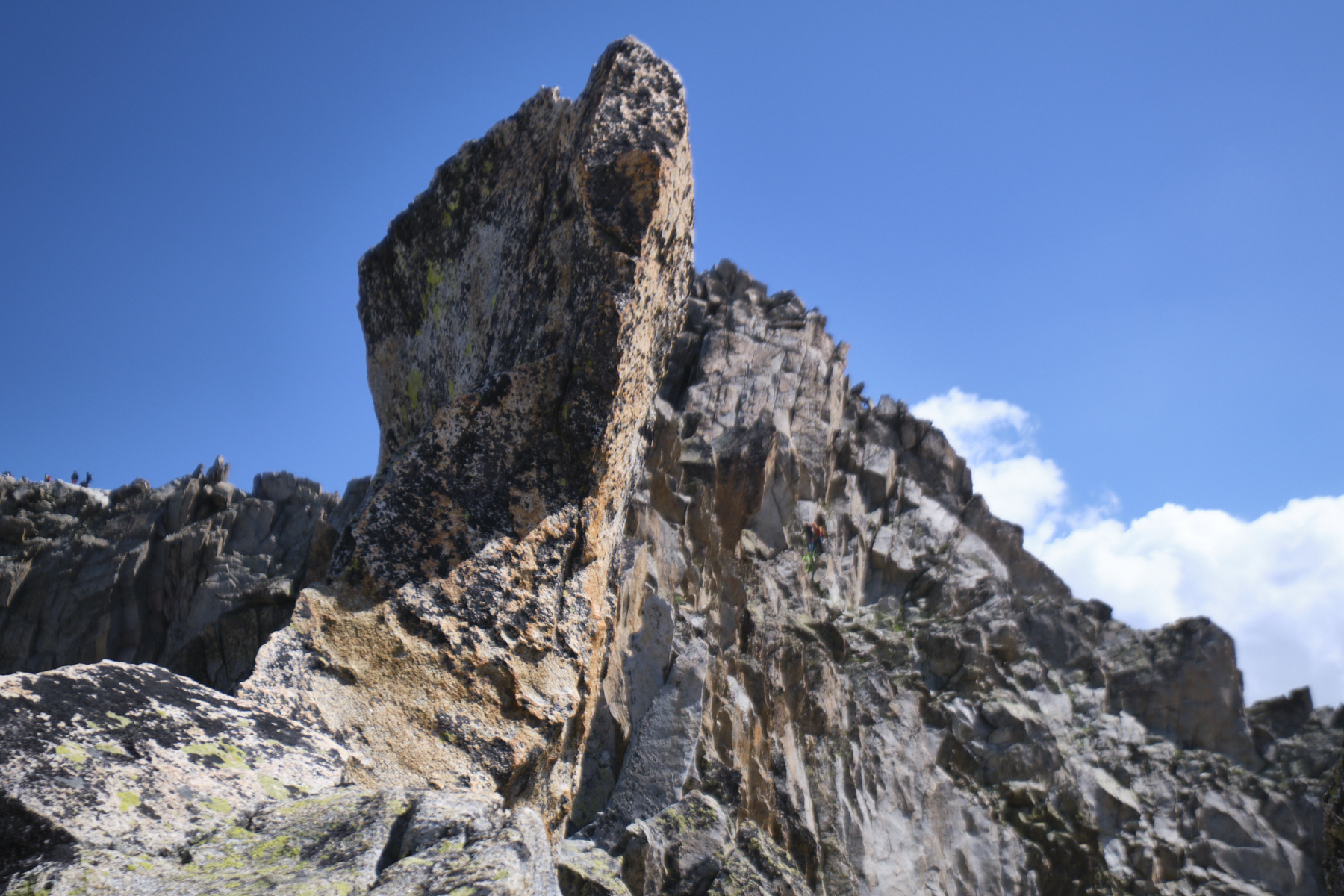
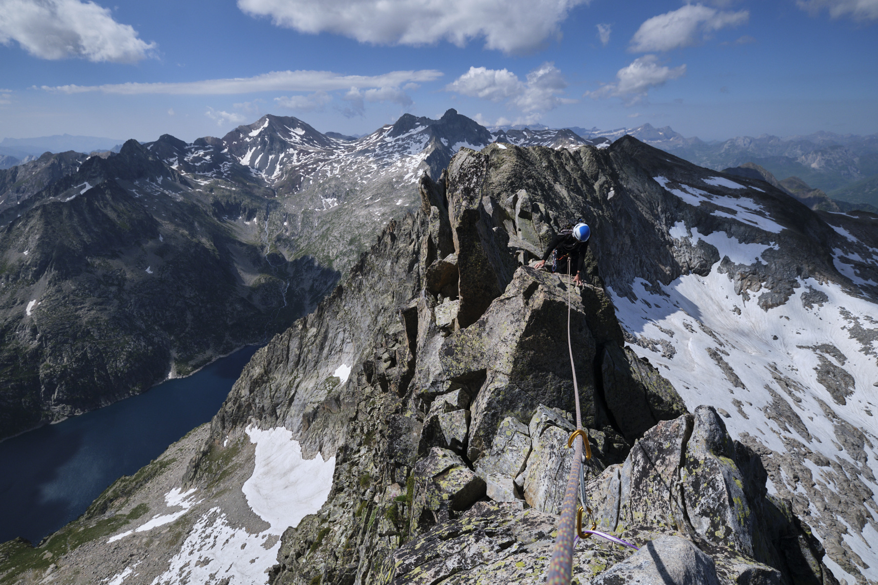
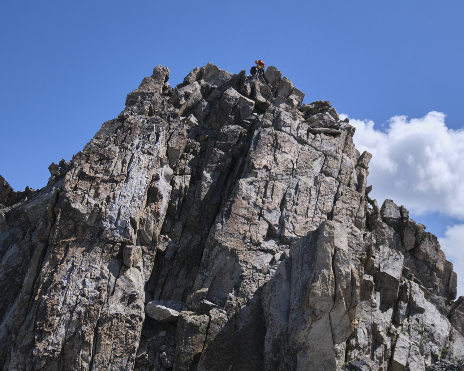
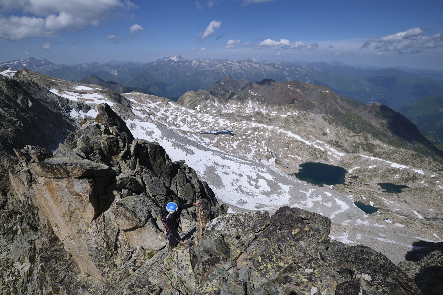
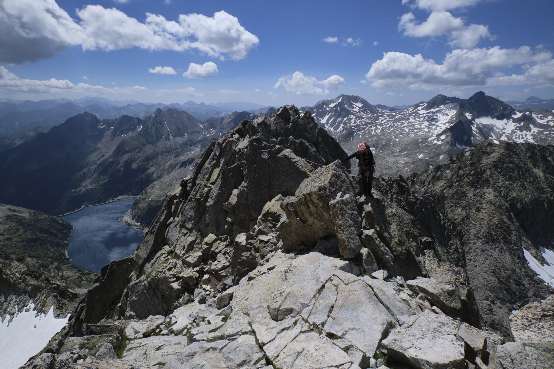
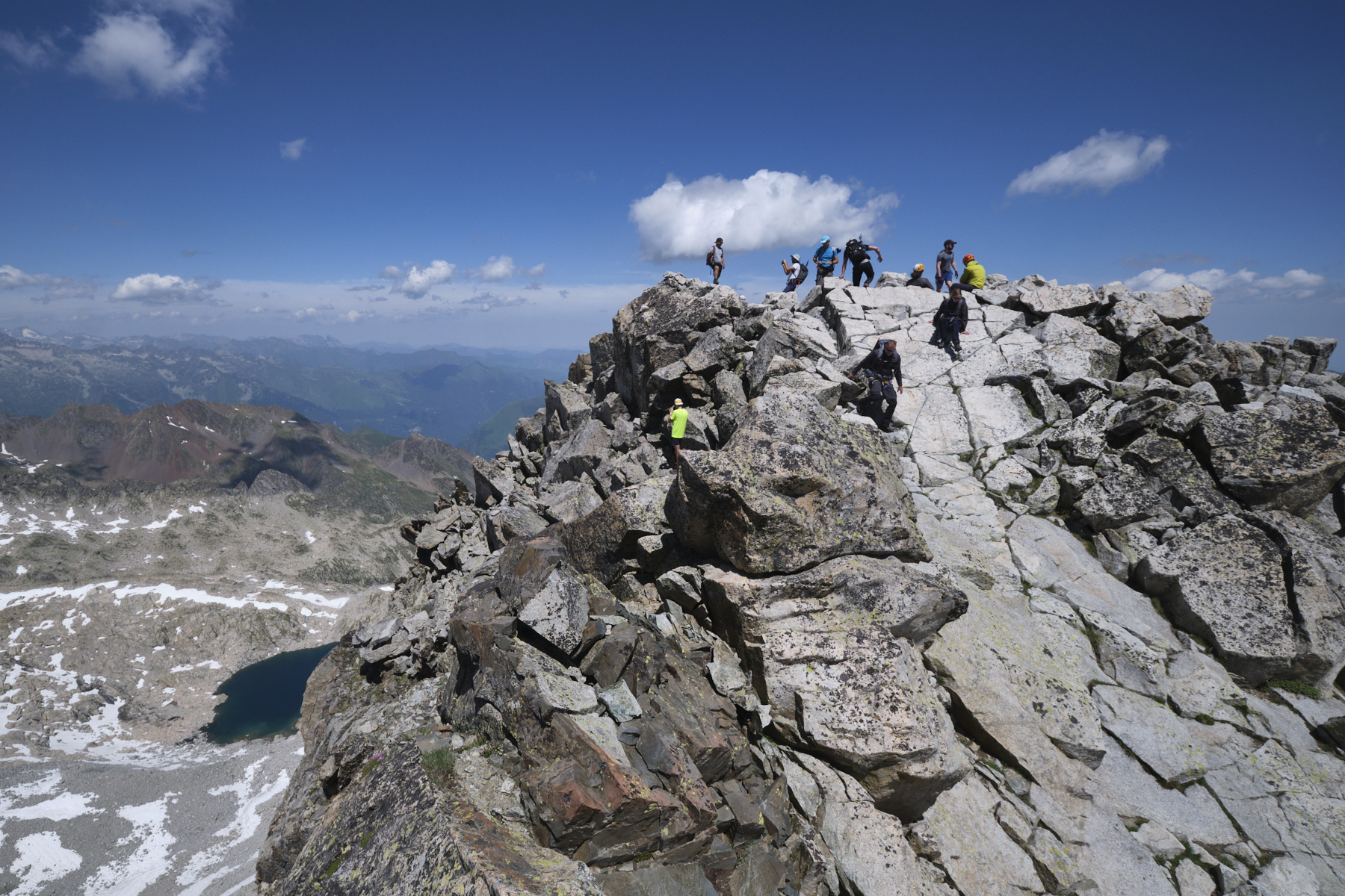
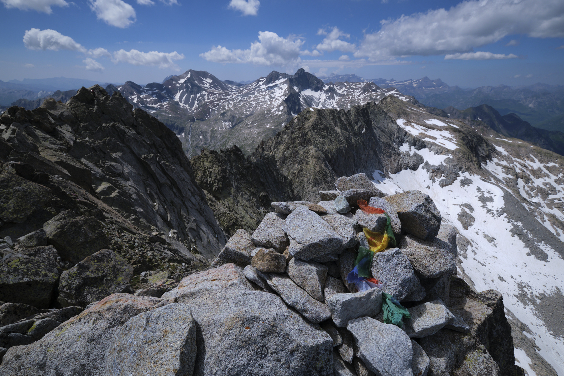
The Arête des Trois Conseillers, a beautiful aerial route in the beautiful setting of the Néouvielle, is a classic route that offers an elegant and original way to reach the summit of the Pic du Néouvielle (3091m). The access proposed here is from the Glère refuge to the Néouvielle breach (2926m), before returning via the normal route and the Chaussenque breach (2790m) a little further east. Although the level of the ridge remains moderate (4a max), the day's loop is physical and the descent quite exhausting in the endless scree beneath the Brèche de Chaussenque on the way back. The view of the Néouvielle lakes throughout the ascent and the panoramic view of the Hautes Pyrénées from the summit are spectacular.
❱❱ Technical summary
■ S tarting point: Plateau du Lienz, Barège, Hautes-Pyrénées (65)
■ Type of route: ridge
■ Total vertical drop / difficulties : 1000 m / 165 m
■ Rock: granite
■ Direction: north (approach/return), south (route)
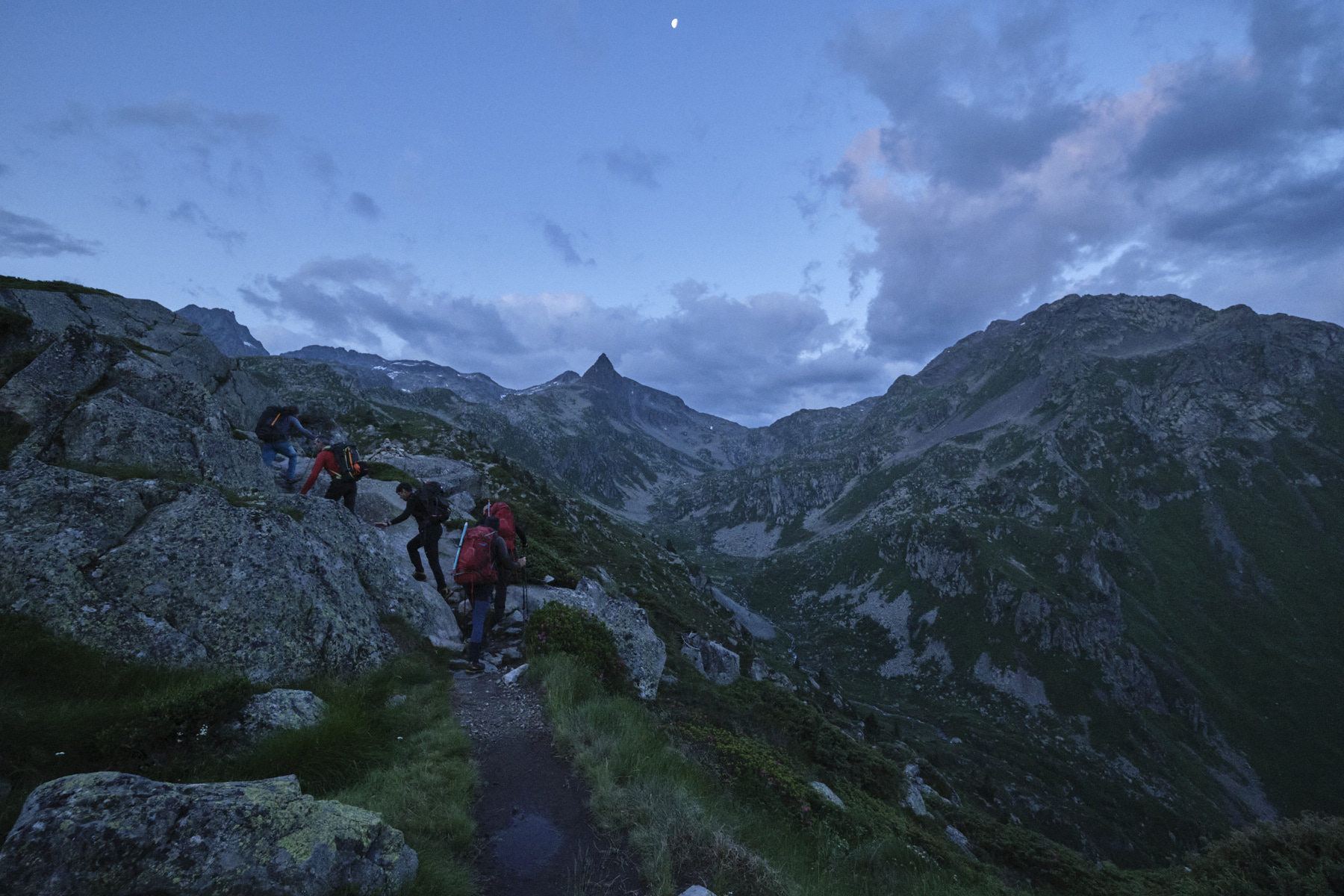
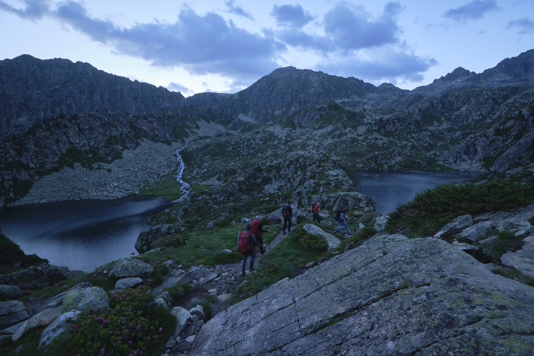
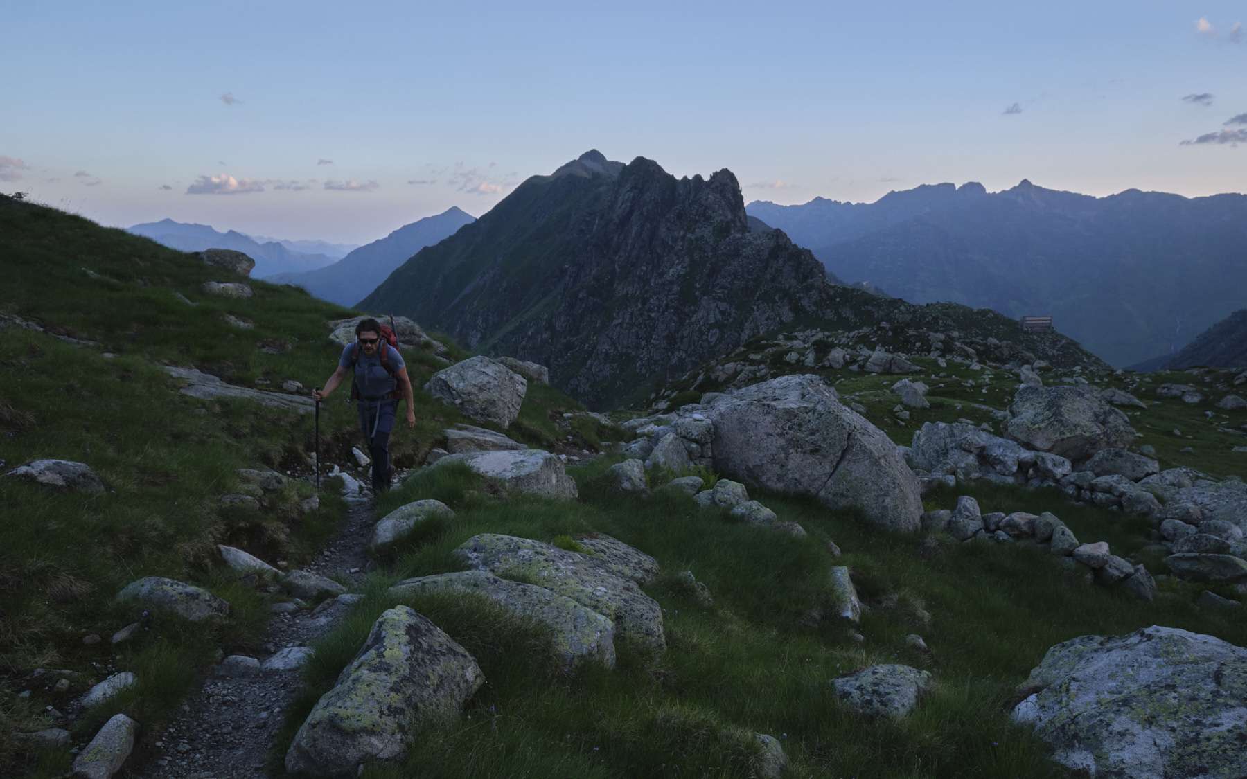
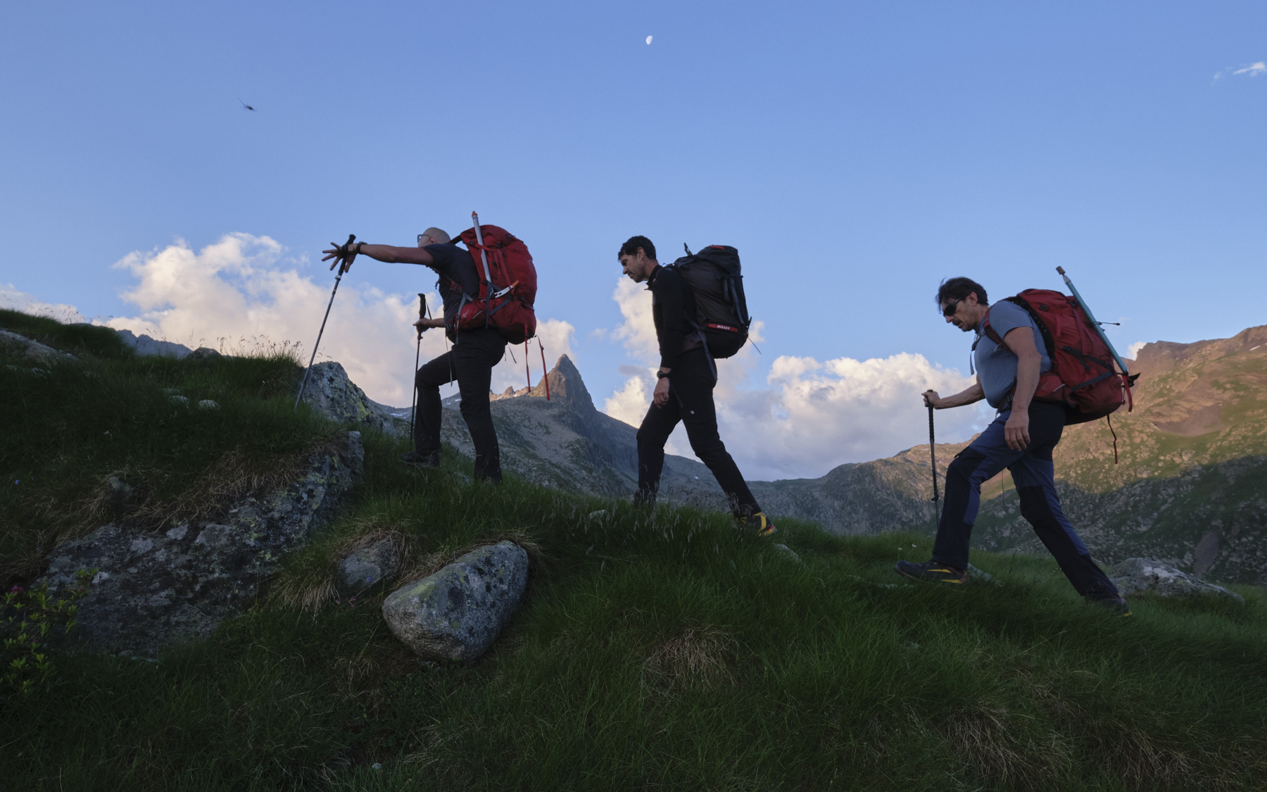
■ A pproach/route/return time: 2h30 / 2h / 3h
■ Min and max altitude : 2150 m / 3091 m
■ Equipment in place: a few pitons, a few jammed nuts, a strap
■ Equipment required: 40 m of rope, lots of long straps, a few medium-sized friends, crampons and ice axe if necessary (passage over the old Néouvielle glacier). GPS track very useful.
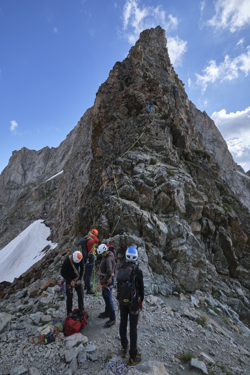
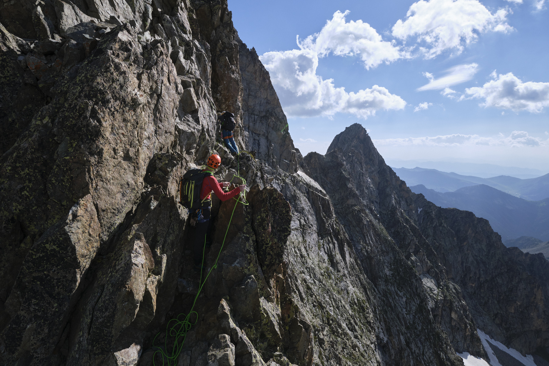
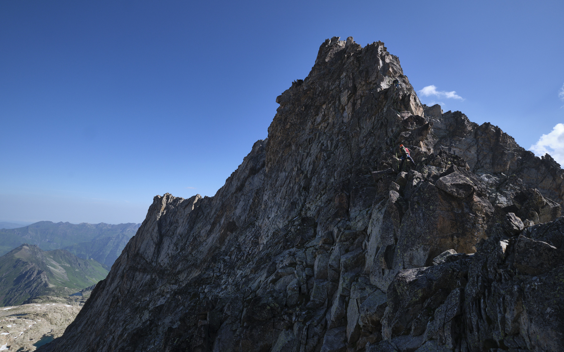
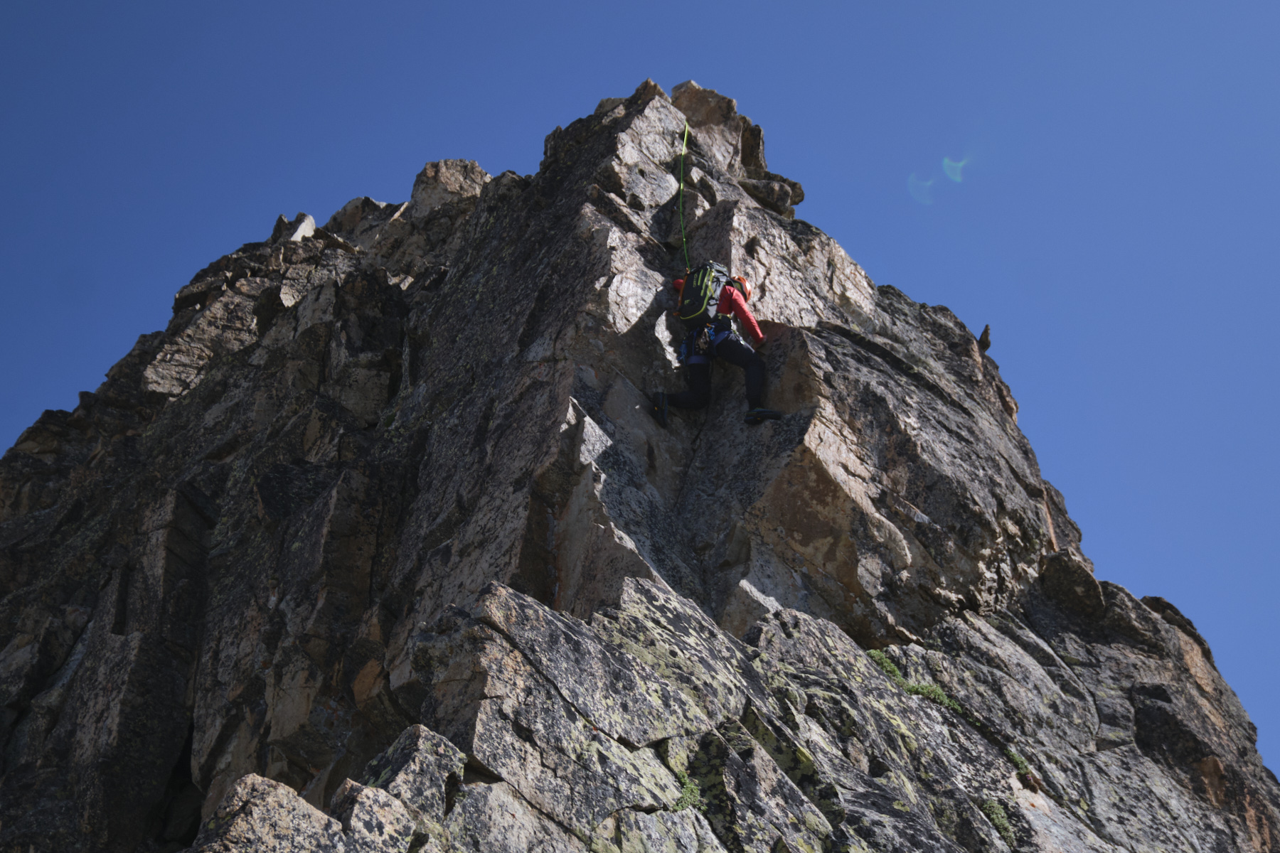
Difficulty: AD, max grade 4a in the dihedral, mandatory grade 3c. The route is easily protected. Two sections to be climbed with a belay: the dihedral and the final slab.
❱❱ Access to the place
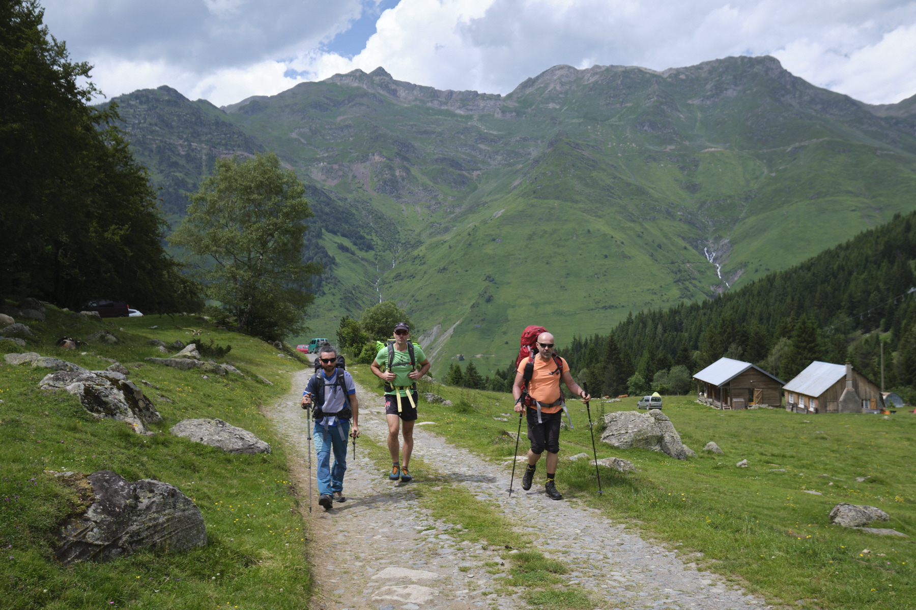
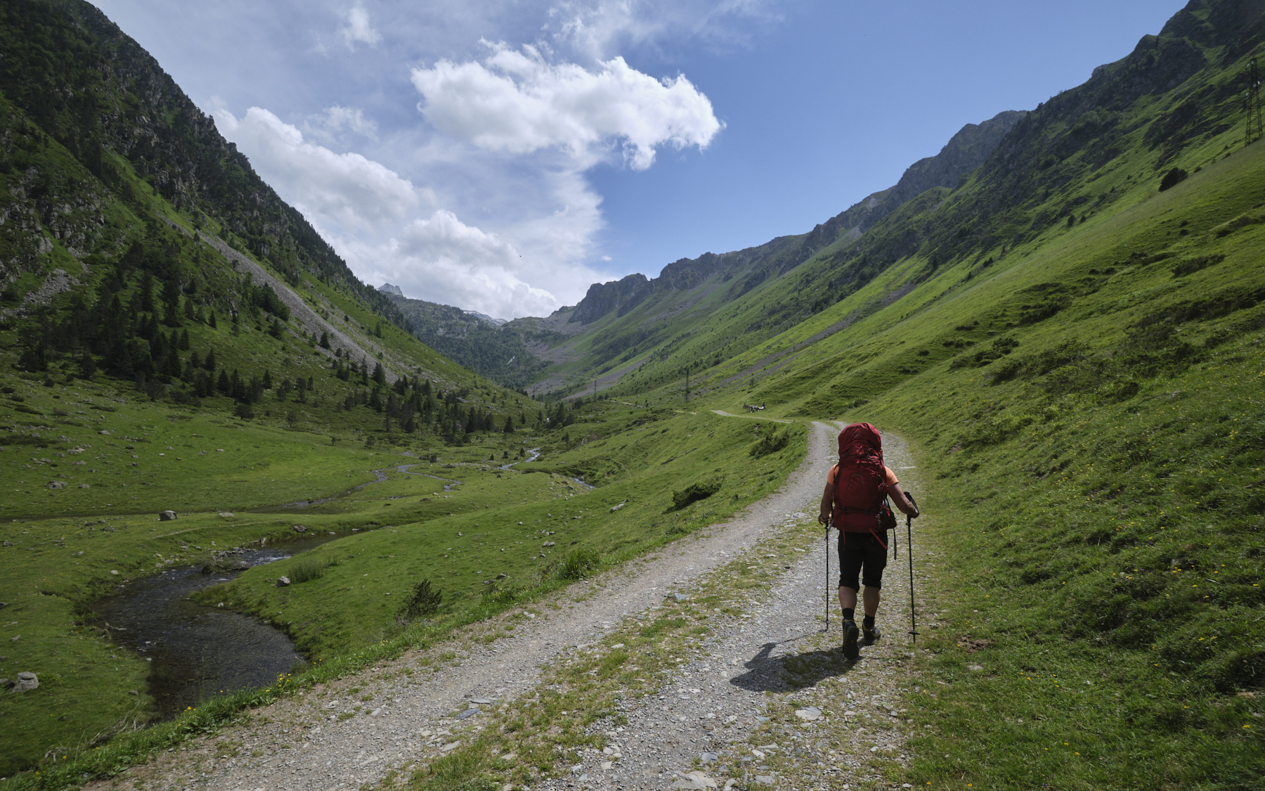
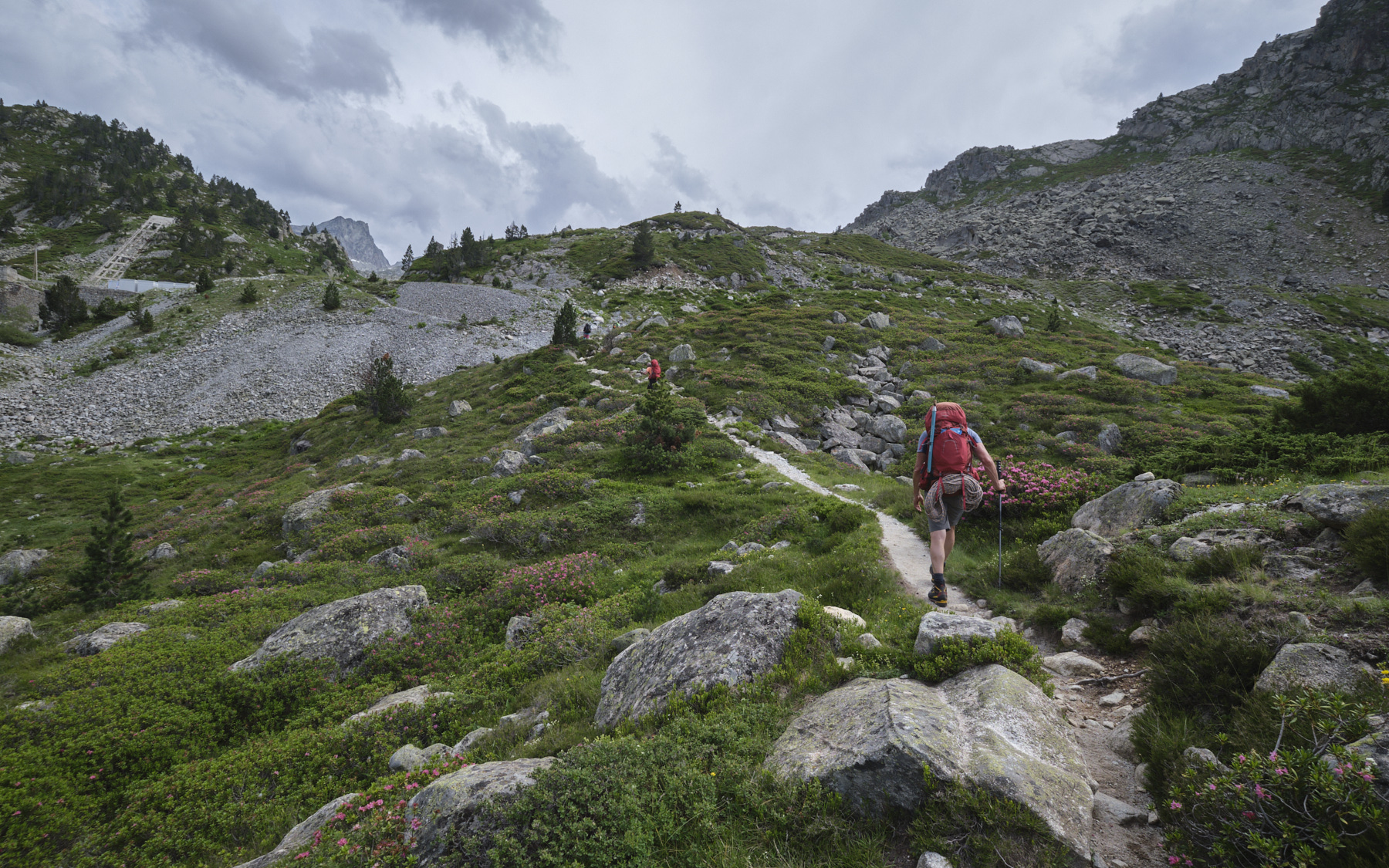
From Tarbes then Lourdes, take the D821 to Argelès-Gazost. From there, continue south to Luz-Saint-Sauveur, where you take the D 918 east towards Tourmalet. Shortly after Barège, turn right towards Lienz. Pass Chez Louisette and climb a little further up the track to the upper parking lot at the entrance to the Plateau du Lienz, next to the little chapel (1570m).
❱❱ Map & topo
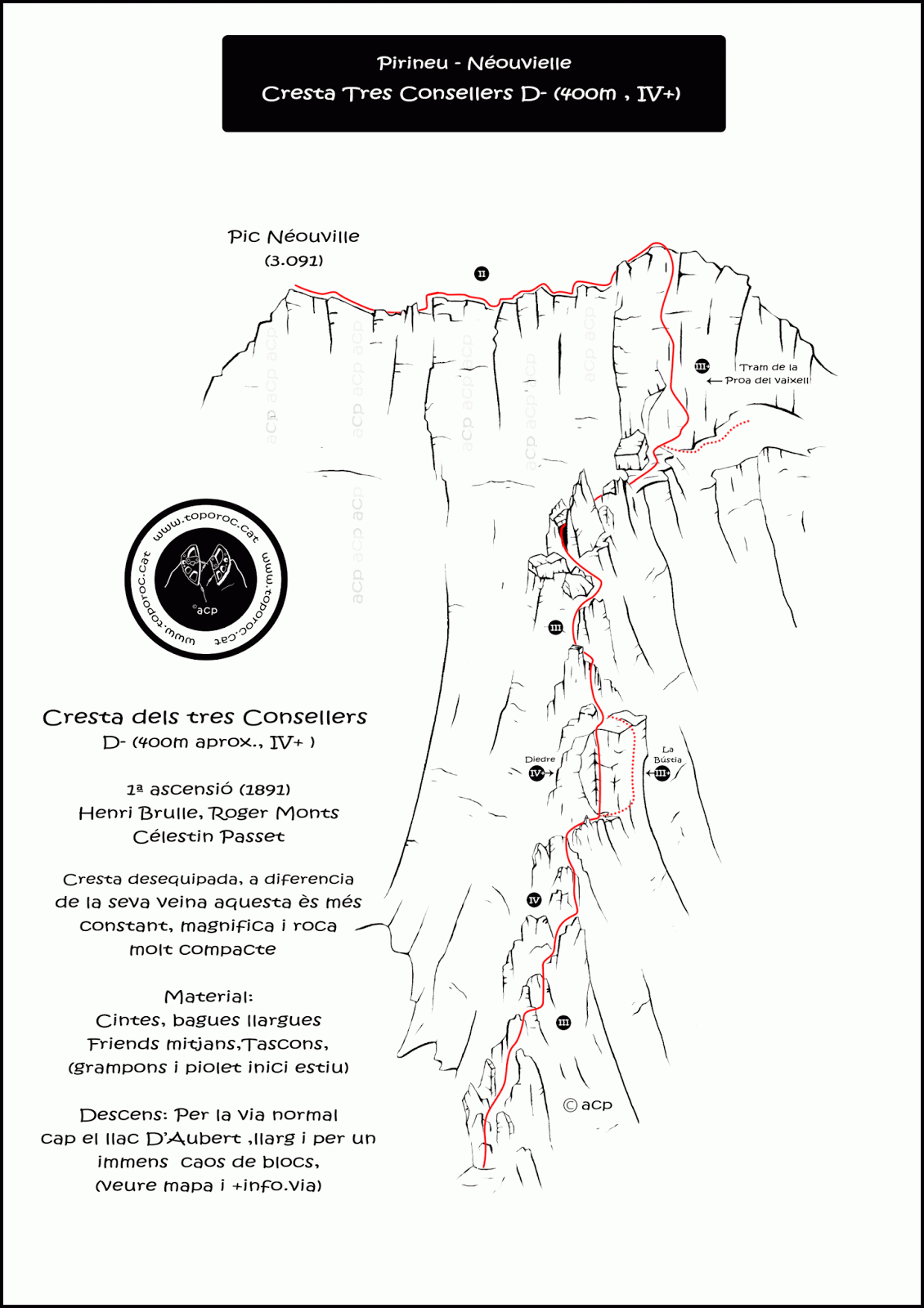
❱❱ Itinéraire
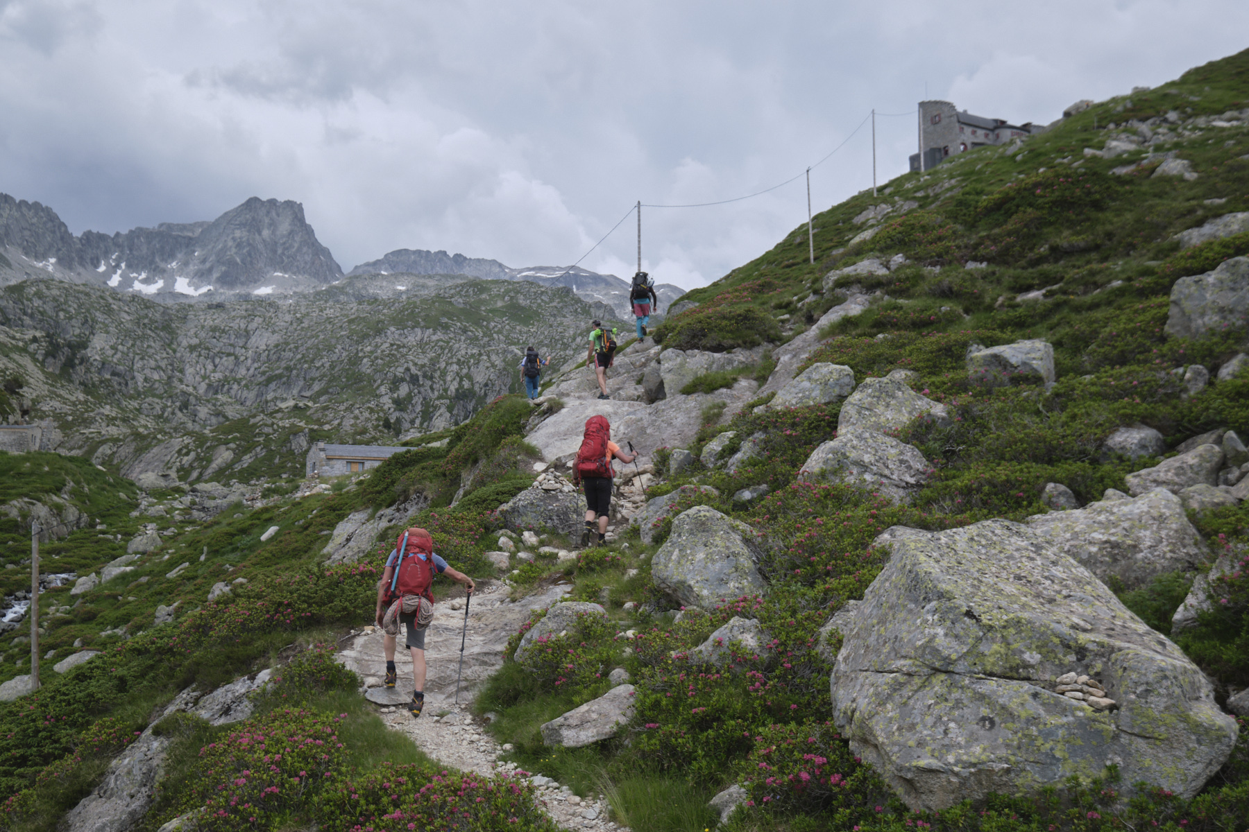
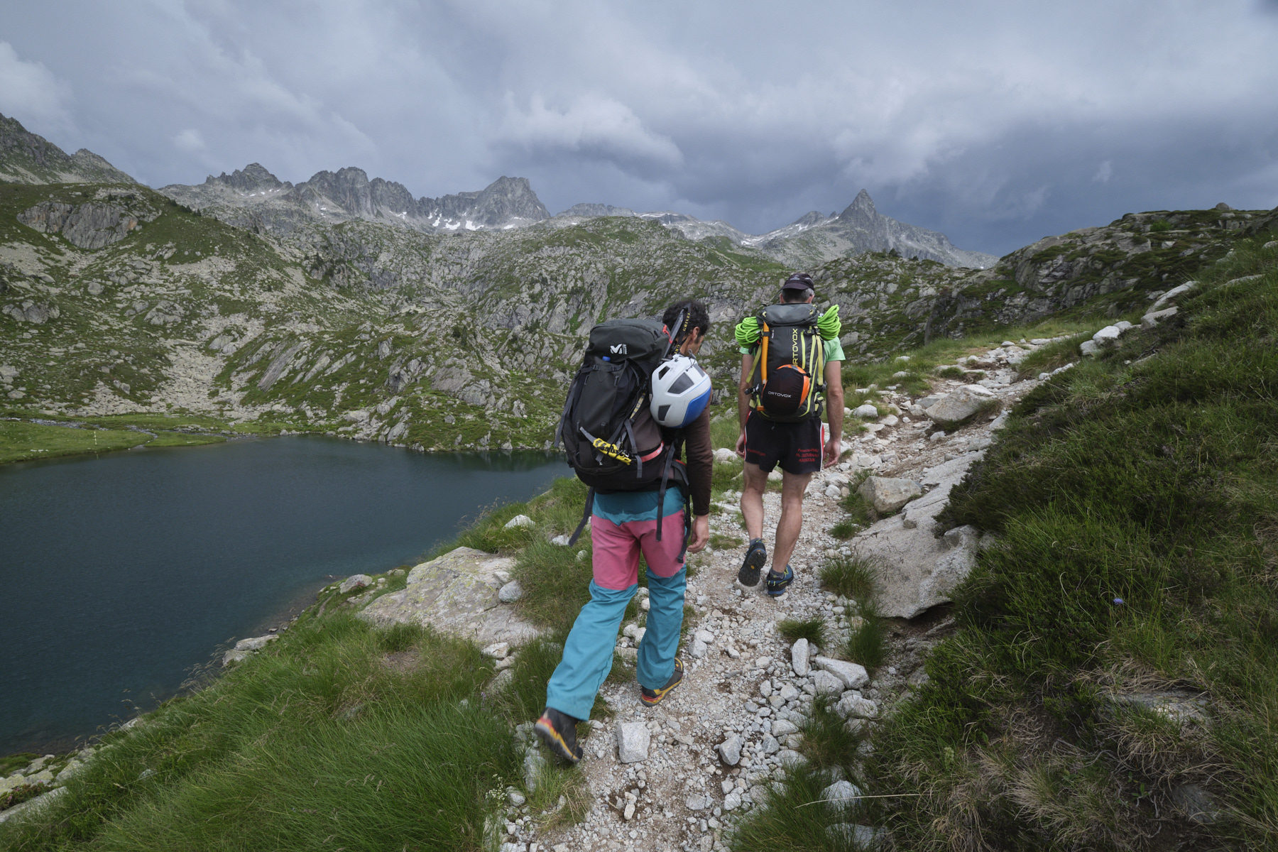
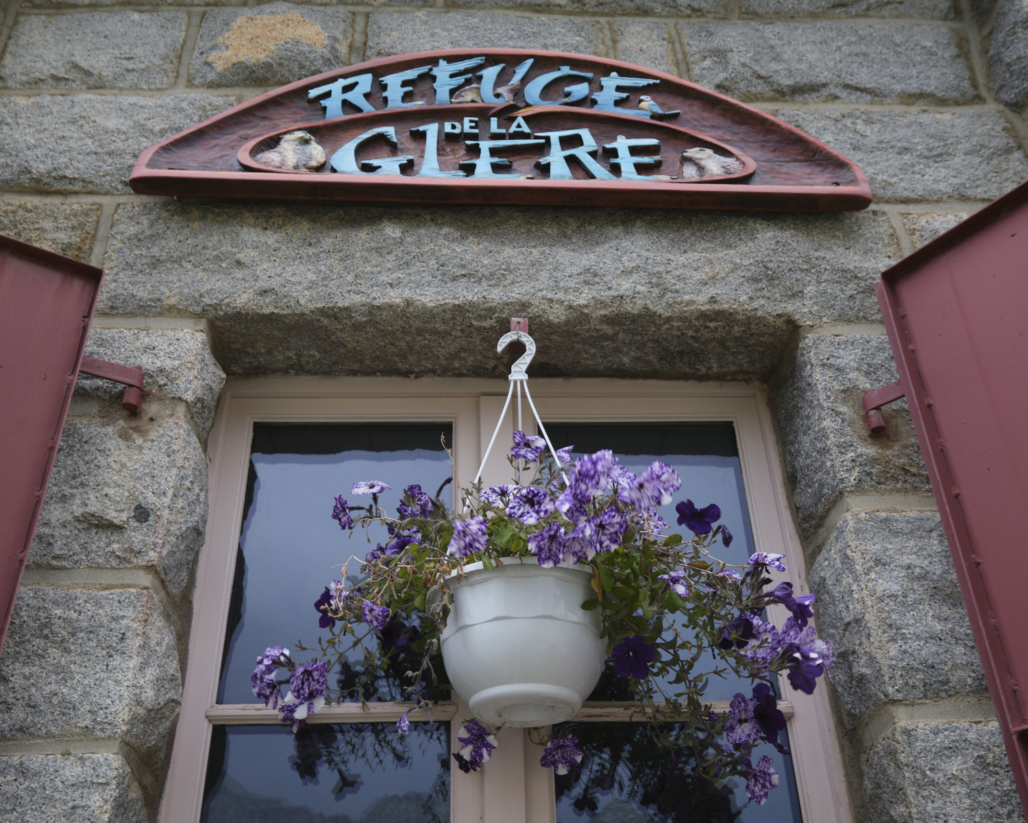
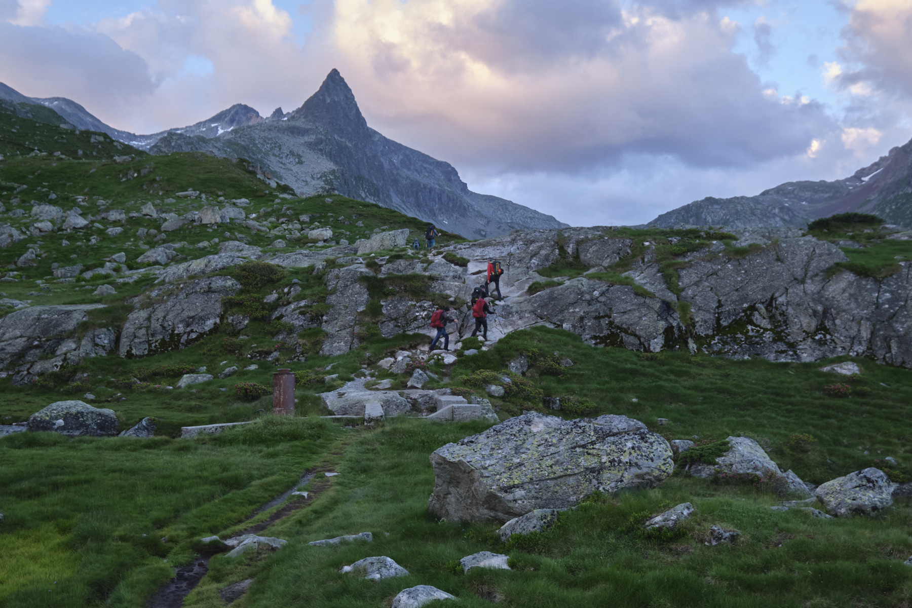
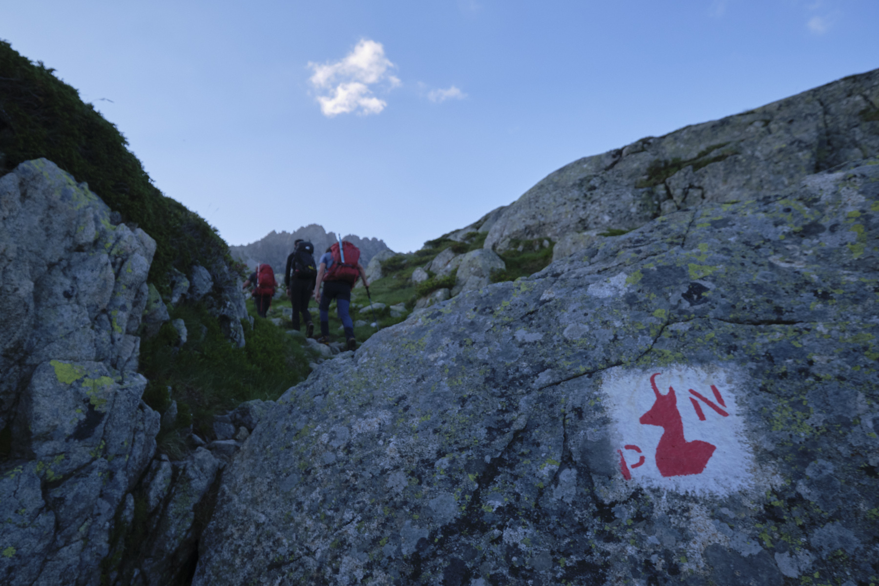
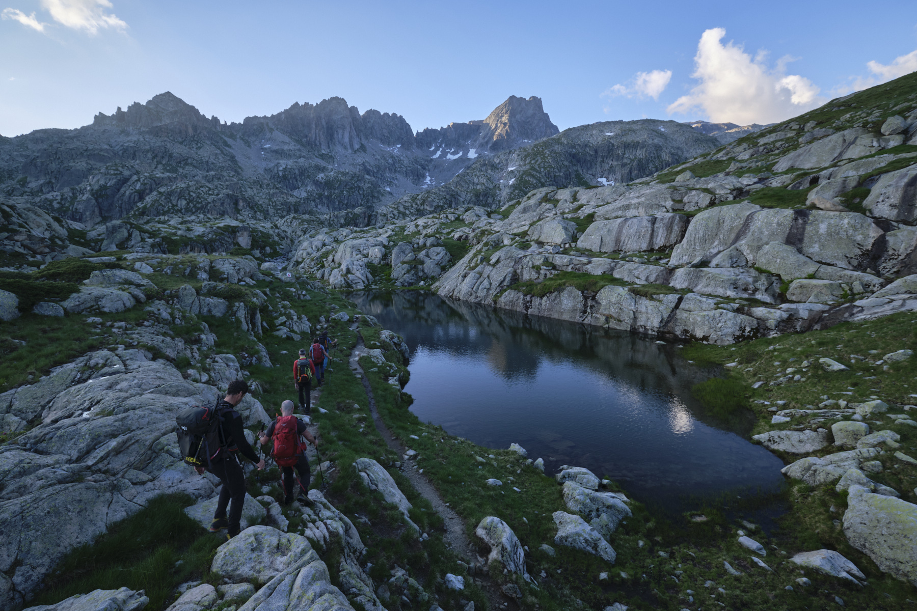
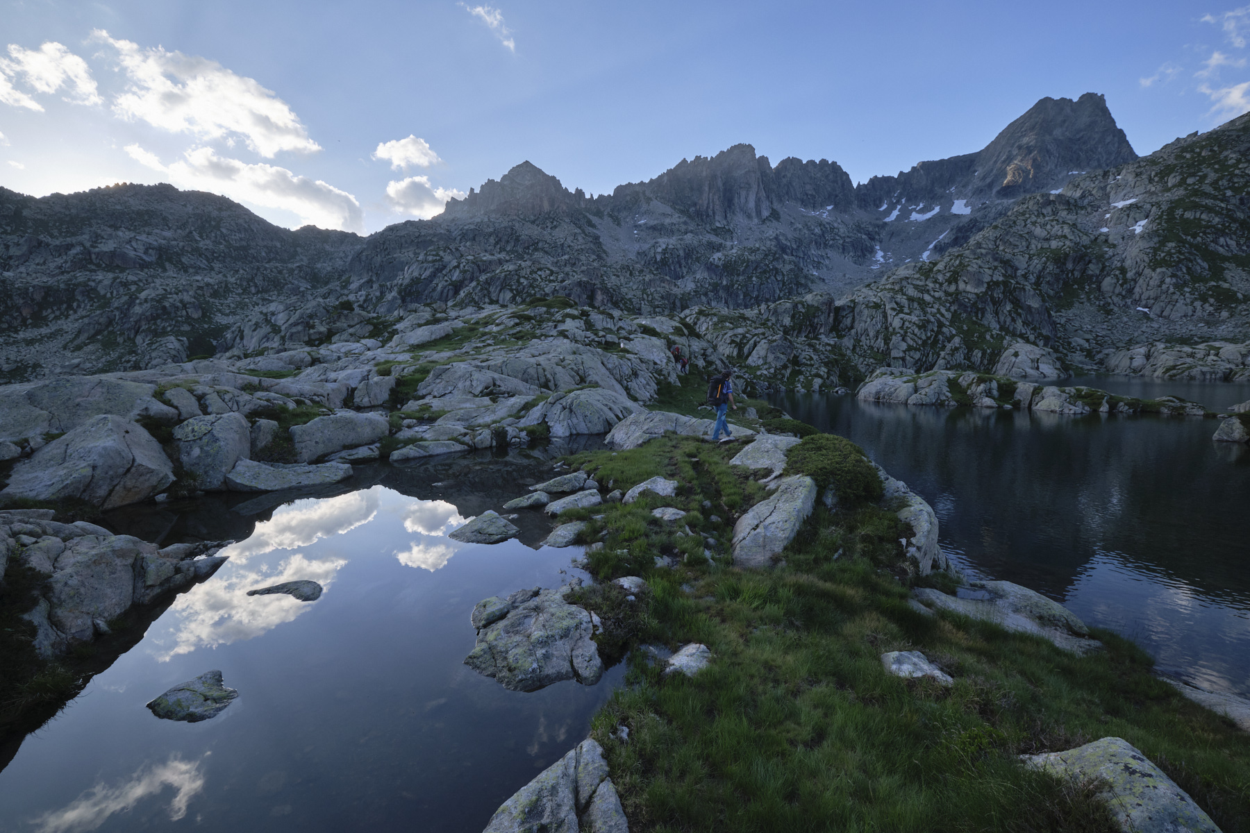
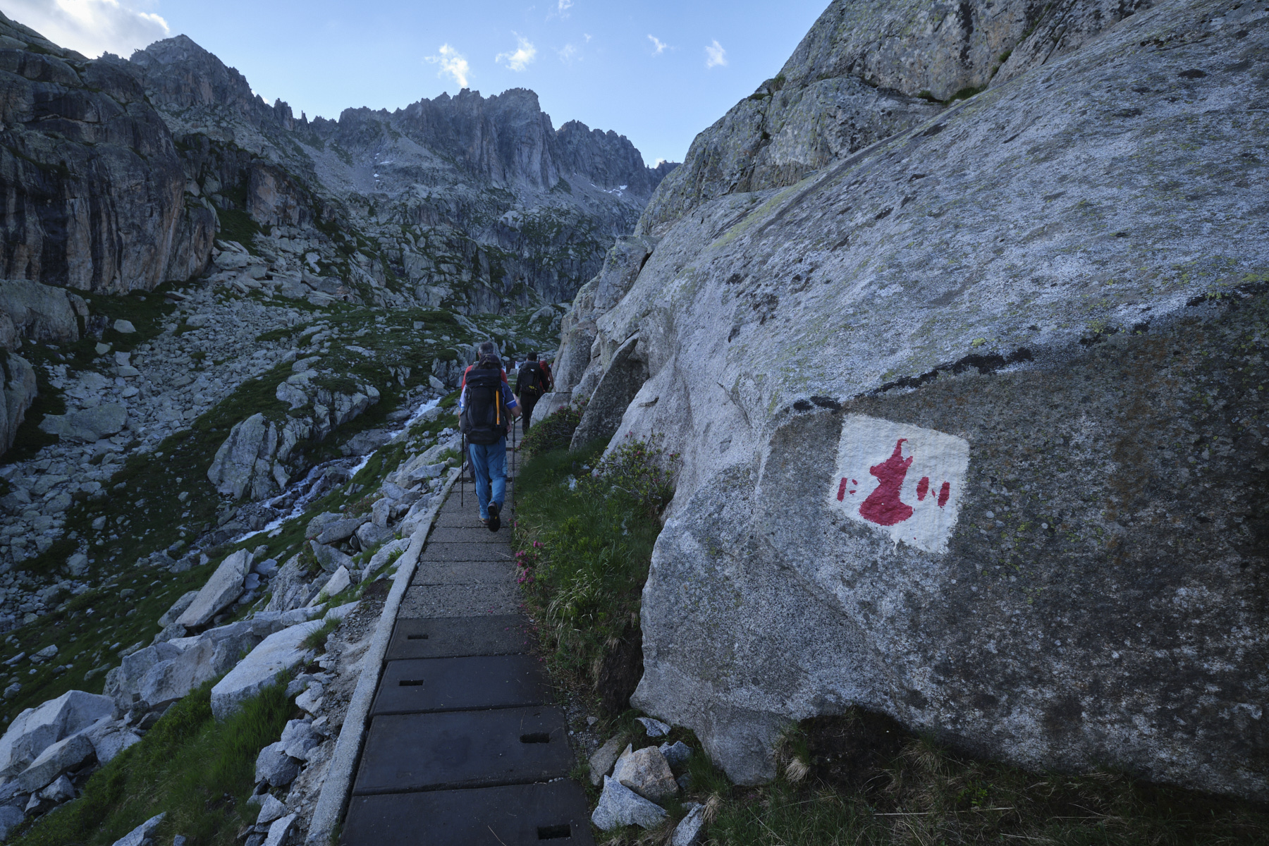
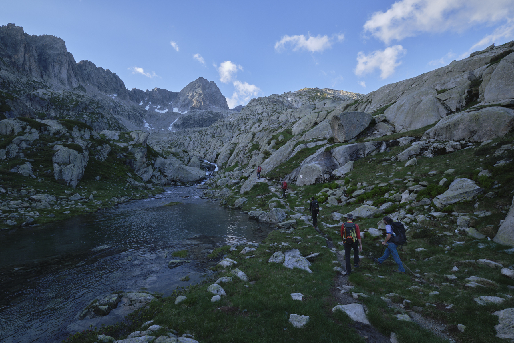
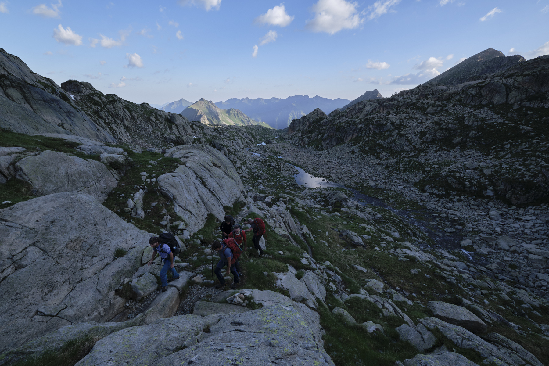
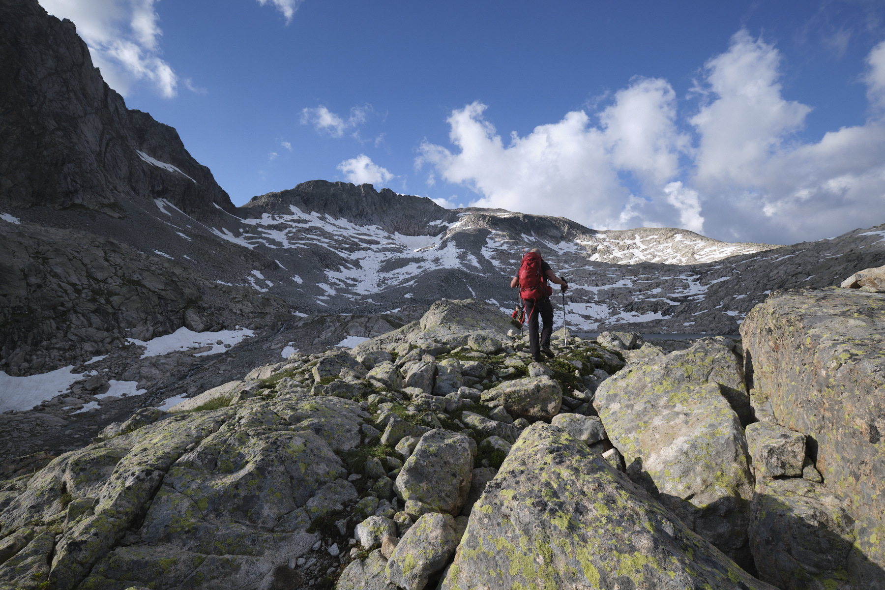
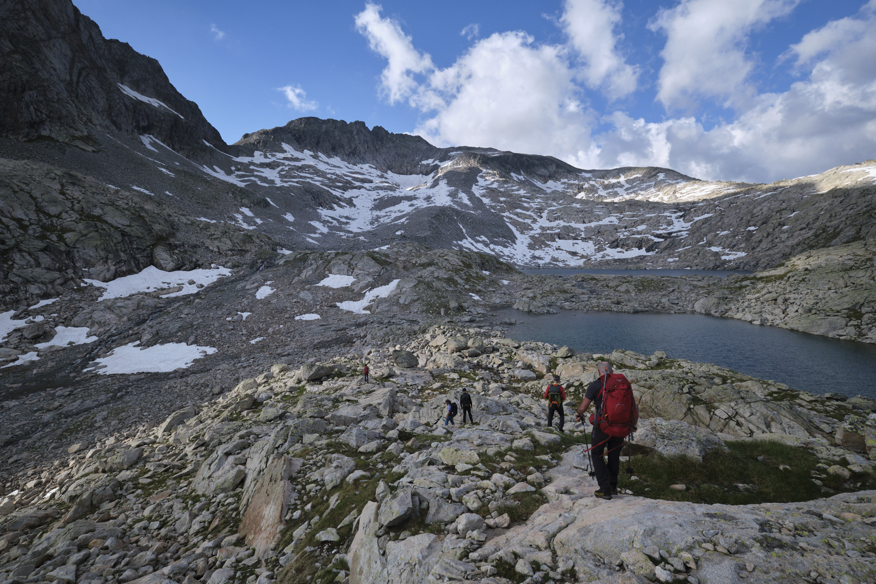
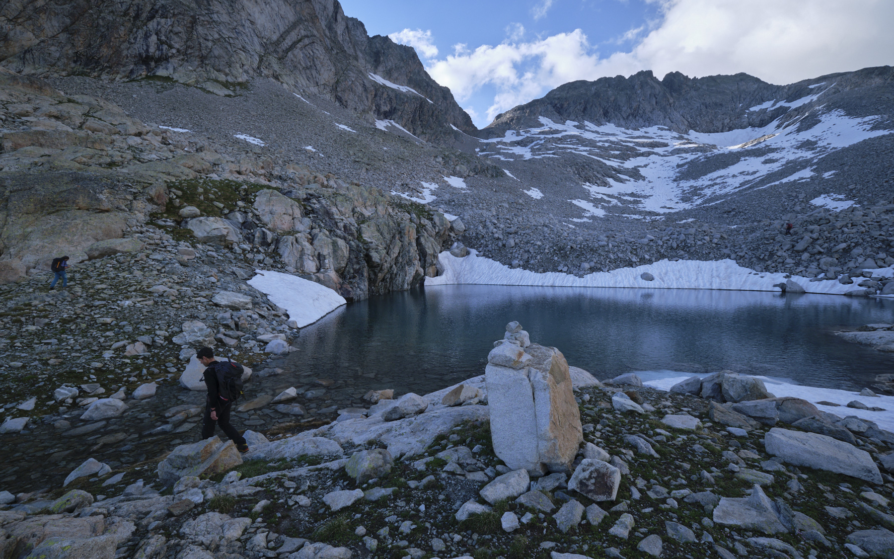
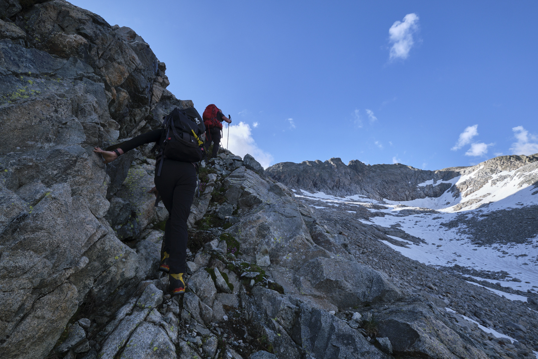
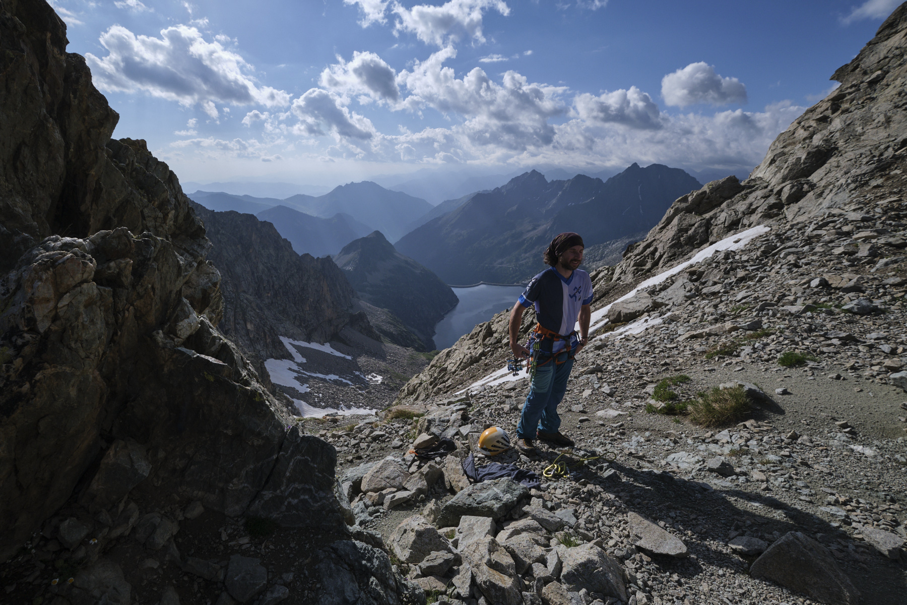
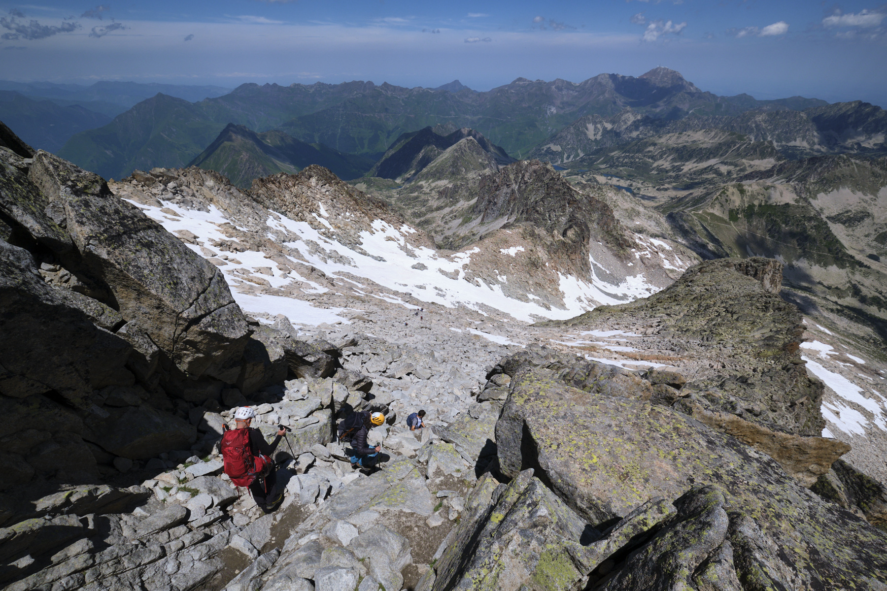
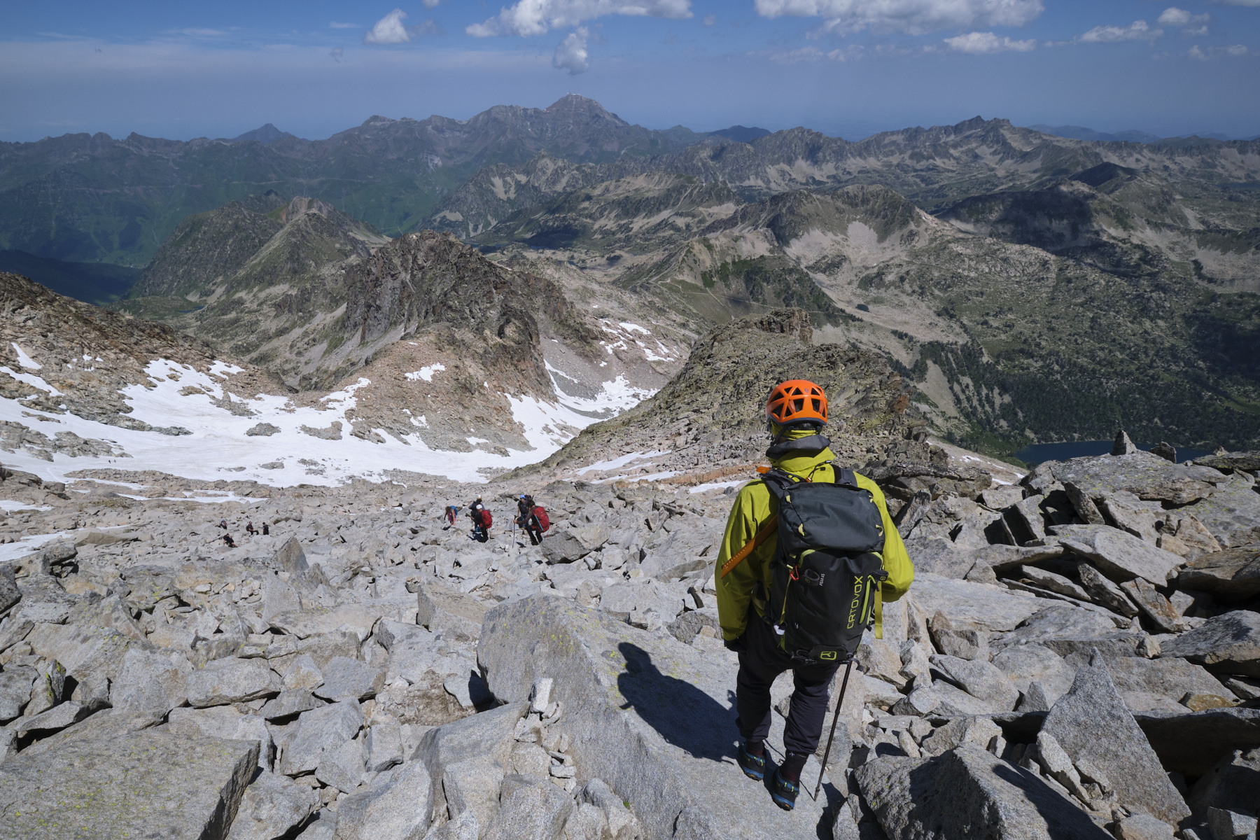
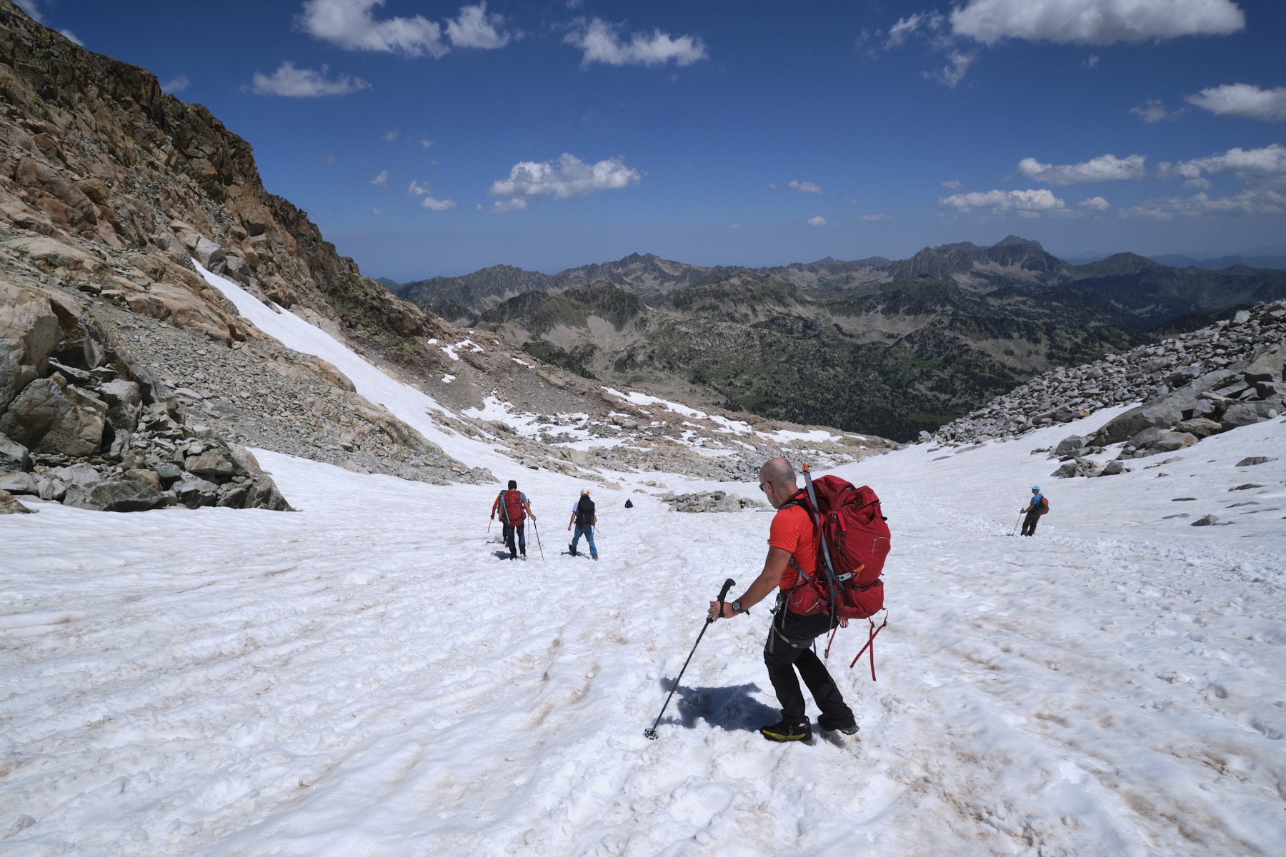
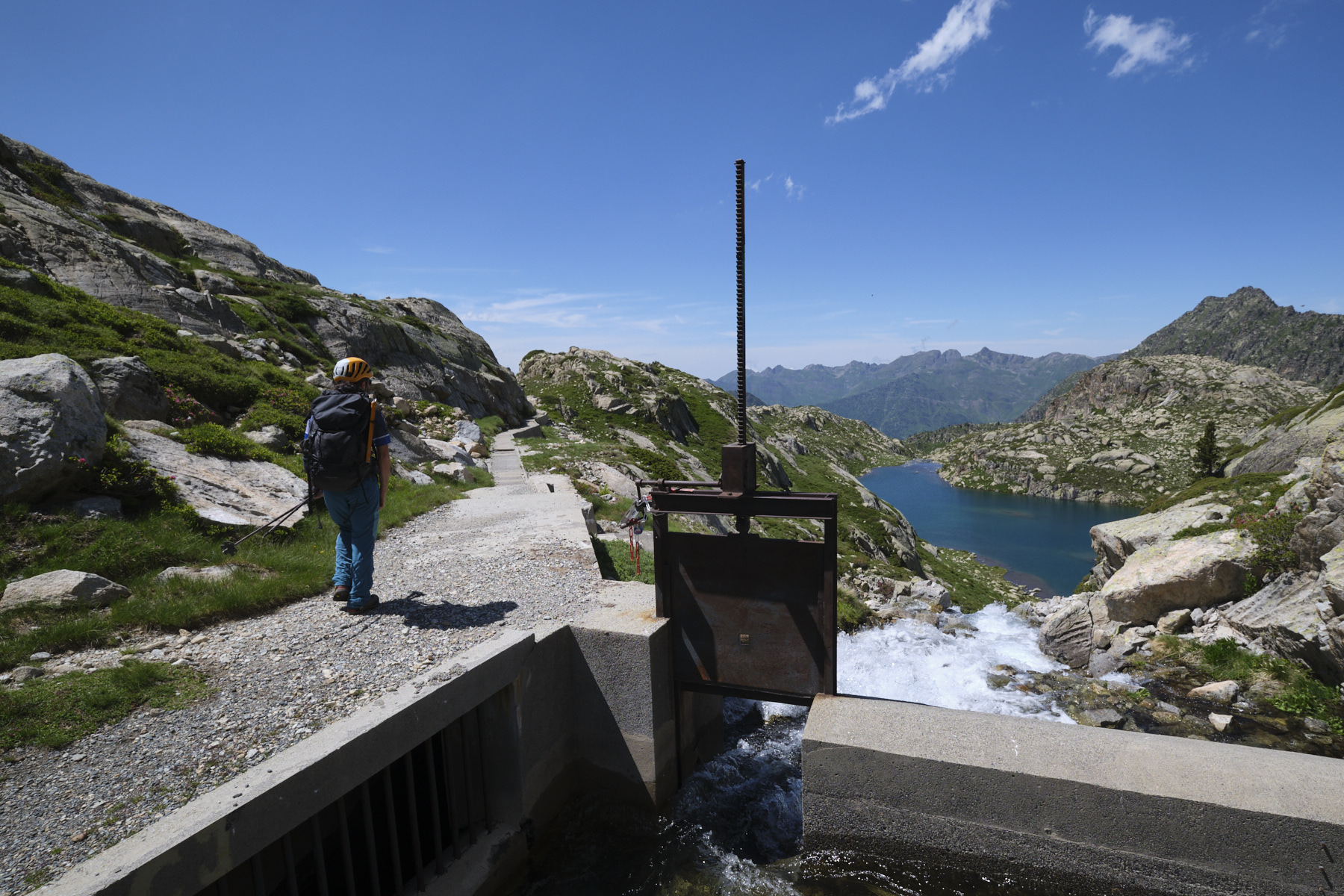
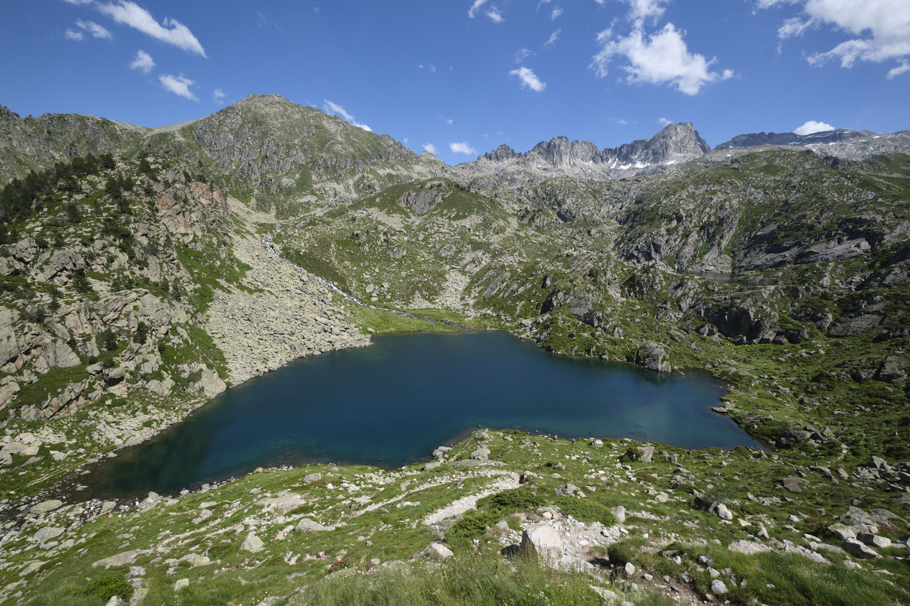
From the refuge de la Glère, follow the path up to the upper lakes. Pass between Lac de la Mourèle and Lac de Det Mail. At this point, where the return path from the Brèche de Chaussenque returns, climb up, keeping to the right of the torrent, along a large, high waterfall to reach an upper basin where Lac Bleu is located. You're facing the Pic du Néouvielle and can clearly see the brèche you're aiming for. Descend a little and tackle the final scree, easier with the névé, to emerge between the Pic du Néouvielle and the Pic des Trois Conseillers, at 2927m with a view of the south side and the Lac de Cap de Long. Start of the ridge to the northeast.
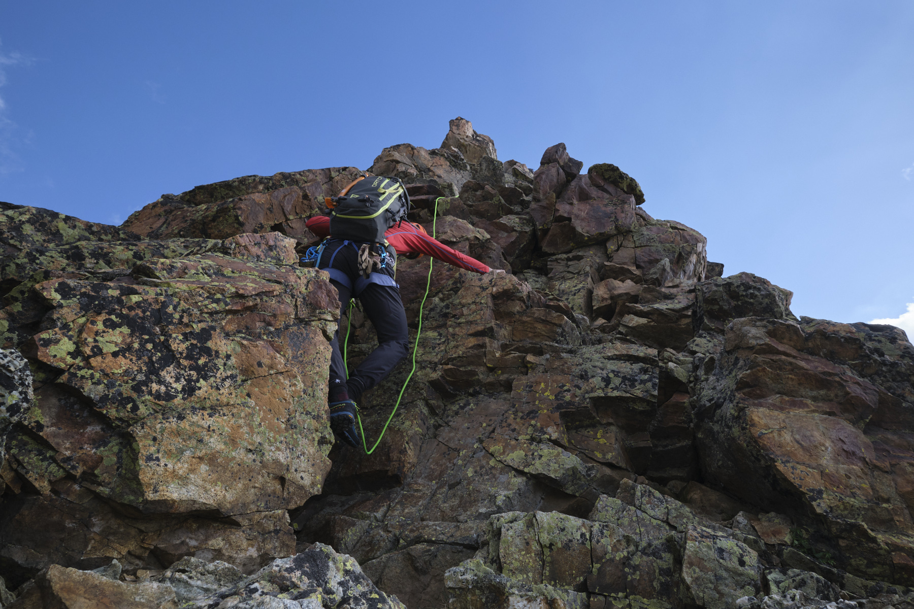
The ridge can be divided into several sections. We had to do everything on a tight rope except the 2 pitches of the dihedral and the final slab with a belay.
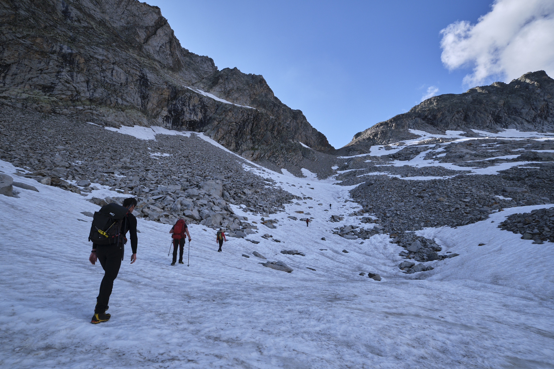
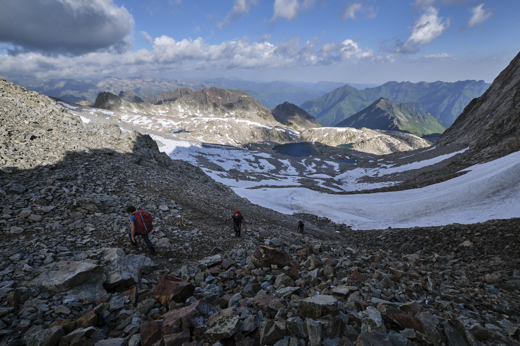
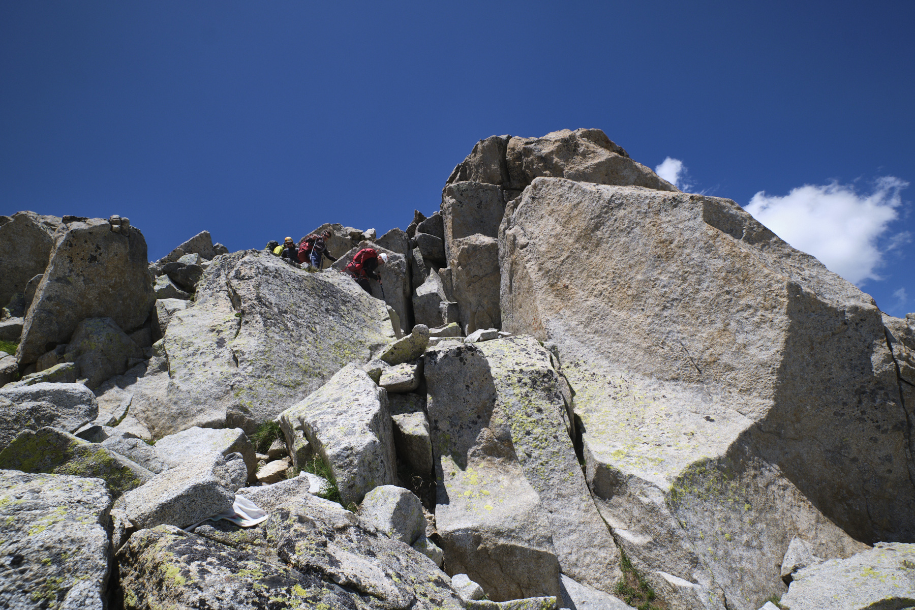
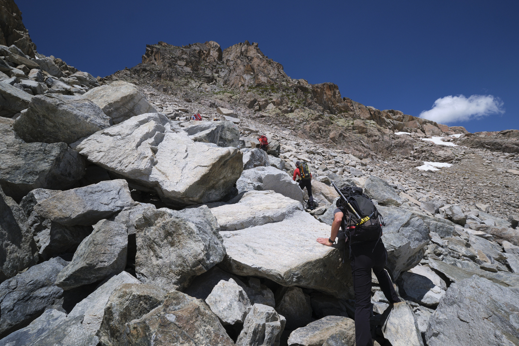
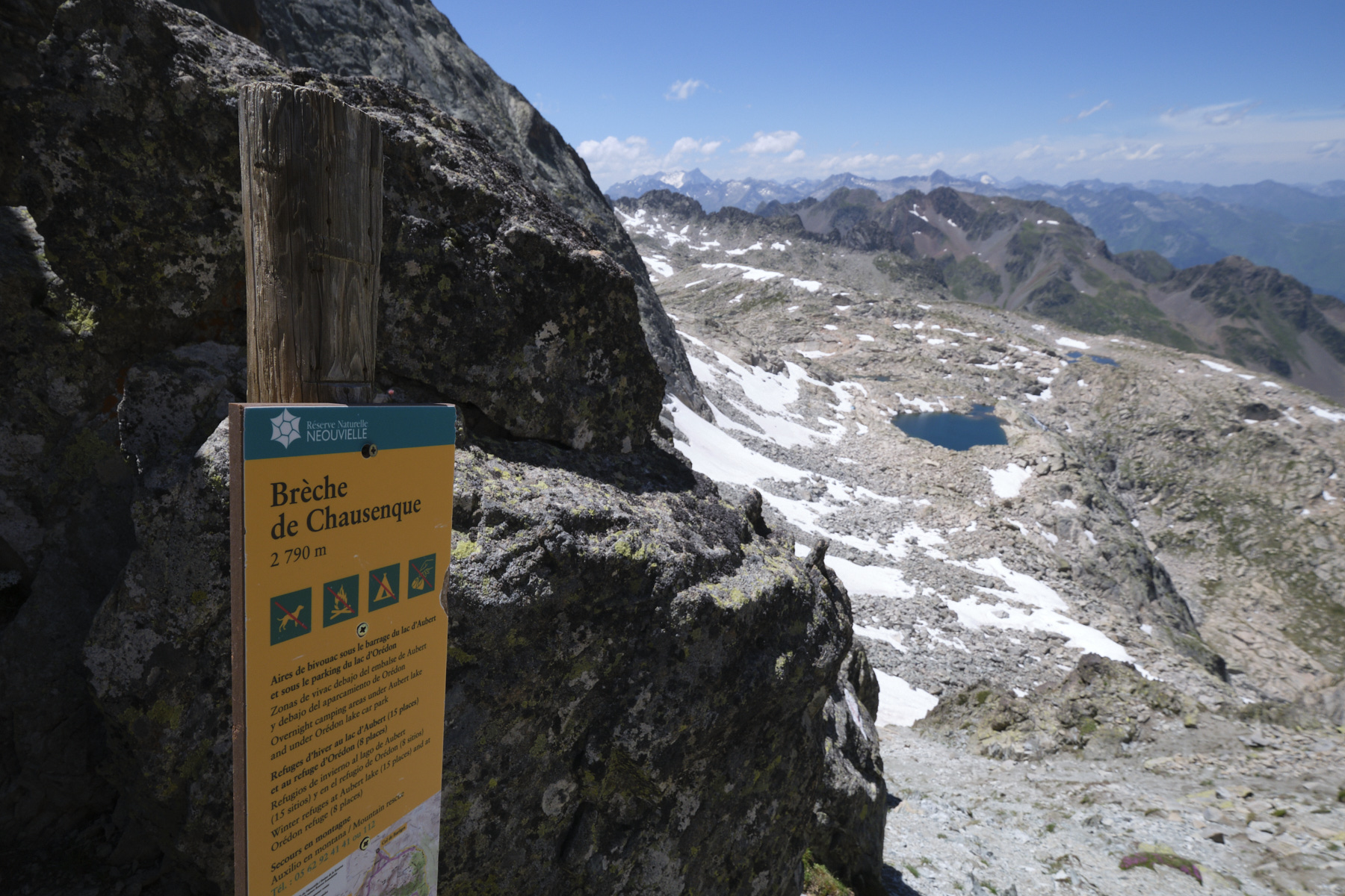
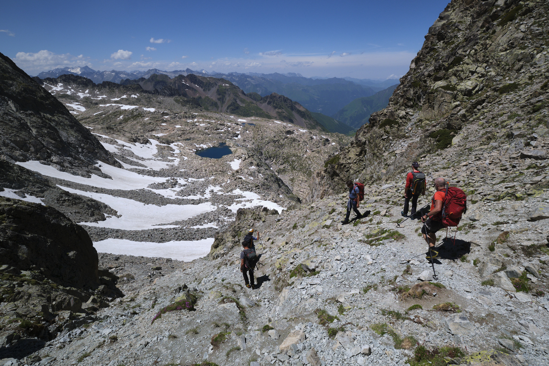
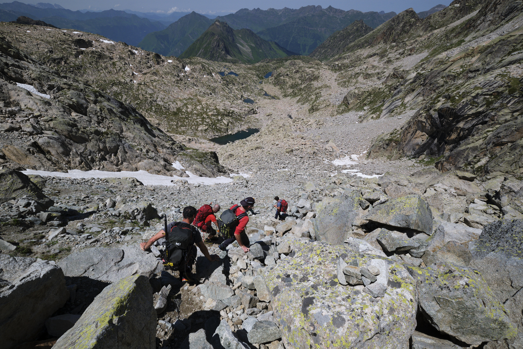
The return journey is no picnic! Descend from the summit via the normal route, initially heading south, then rounding the peak to reach the scree slope above the old Néouvielle glacier on the north side. Descend the valley without too much difficulty and quickly, at the level of the first basin, leave the normal route to turn left, cross over and find the access to the Brèche de Chaussenque. After a steep 50m ascent over scree, pass the breach and switch back to the west side.
Gently climb down the steep couloir on unstable terrain at the start, then over an endless chaos of granite boulders. Further down, you come to a small pond, follow the cairned path back to the Det Mail lake. Follow the approach path back to the refuge de la Glère.
Allow a good 1 hour to descend from the refuge to the parking lot on the Lienz plateau.
Route description on Camp to Camp
Route description on Diario de Montaña y Viajes (in Spanish and Catalan)


Leave a Reply