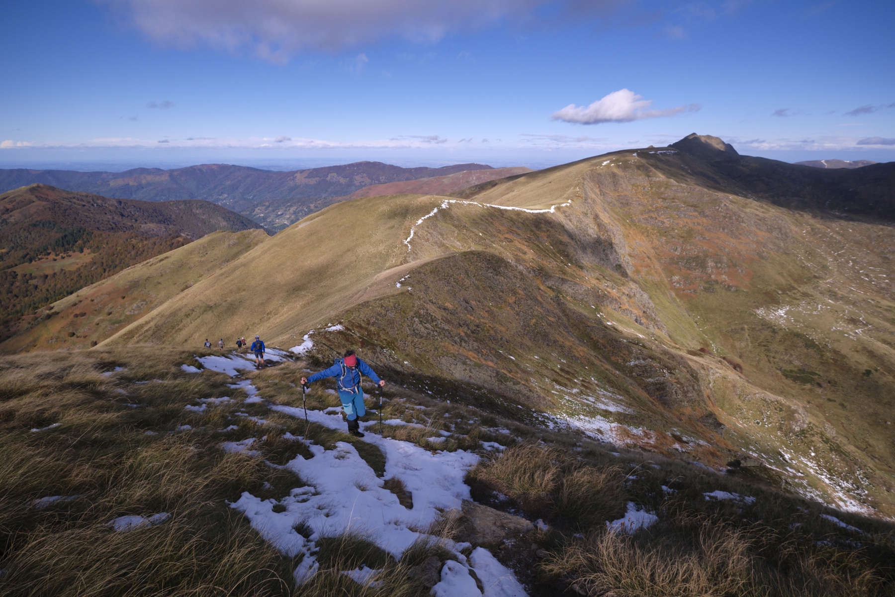
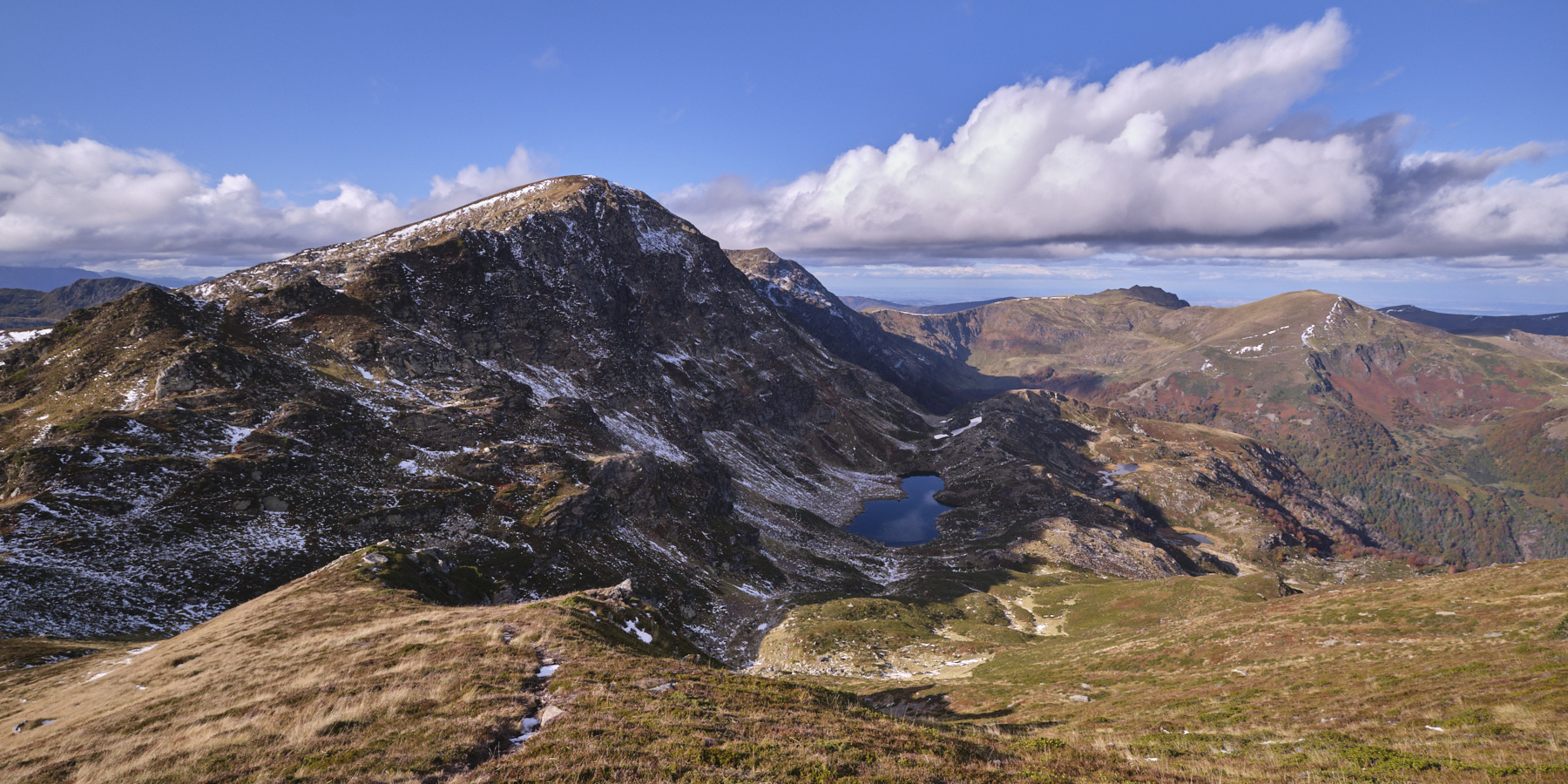
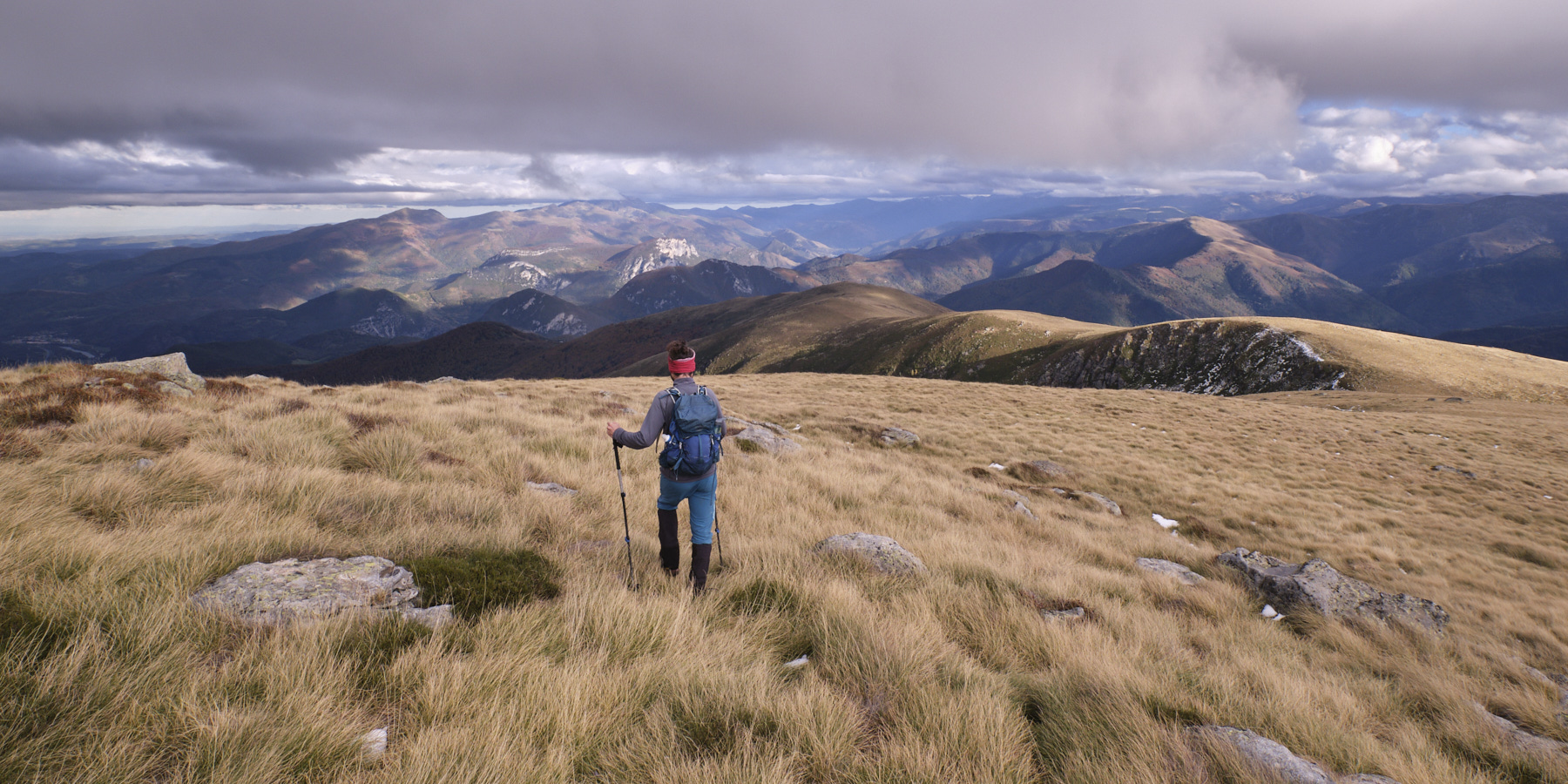
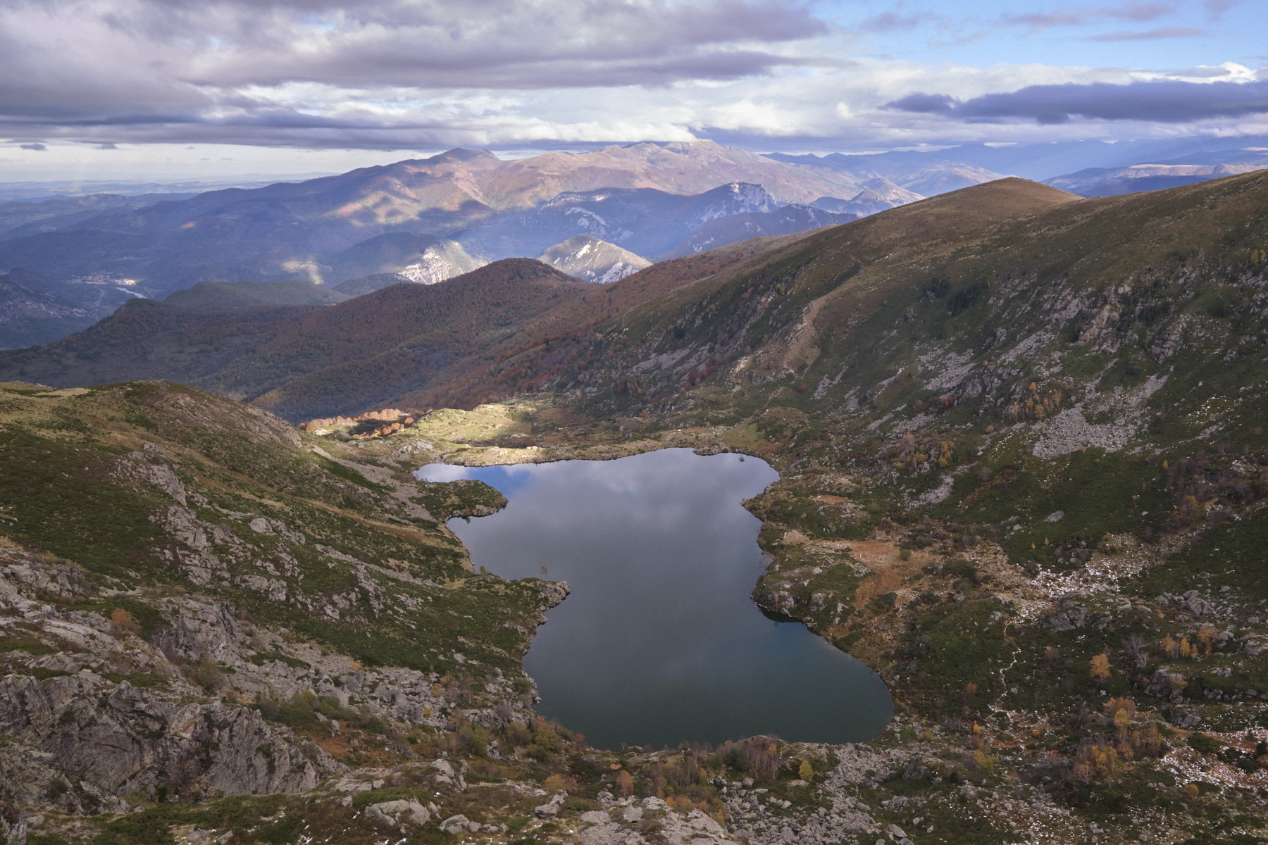
Panoramic loop with more than 7 kilometers of ridges facing the Pyrenees and plunging views over Etang d'Arbu, Etang Bleu and Etang d'Artax. A difficult route, mainly due to its great distance and altitude difference, with a few steep, airy passages where you have to put your hands down to balance. At the Col de la Couillate, there's an escape route to shorten the loop and return to the start by passing the Etang Bleu.
❱❱ Technical summary
■ Departure point: Parking de la Freyte, Gourbit, Rabat-les-Trois-Seigneurs, Ariège (09)
■ Type of route: high-mountain almost loop hike
■ Distance: 20.5 km
■ Cumulative elevation gain: +1550 m
■ Cumulative negative altitude gain: -1790 m
■ Estimated total time: 7h to 8h ■ Min and max altitude: 840 m / 2199 m
■ Marking: combination of PR trails (yellow) and unmarked trails
■ Equipment in place: none
■ Equipment required: useful GPS track
Difficulties: mainly the long distance and steep gradient, with a few short sections on ridges where you have to put your hands down to balance.
❱❱ Access to the place
From Foix, follow the N20 towards Tarascon-sur-Ariège. At the traffic circle off the 4-lane road, turn right onto the D-618 towards Surbat and Saurat. In Surbat, follow the Rabat road to the left. Pass through Rabat-les-Trois-Seigneurs and continue on the D-223 towards La Freyte. Continue a little further to the end of the road and park in the large parking lot at the end. This is the starting point for the loop.
If you have 2 vehicles, leave the first vehicle at Gourbit and take the second right at the Tarascon traffic circle.
1st part: from the parking lot to the Col de Pourtanelle (1789m, 1h45 to 2h)
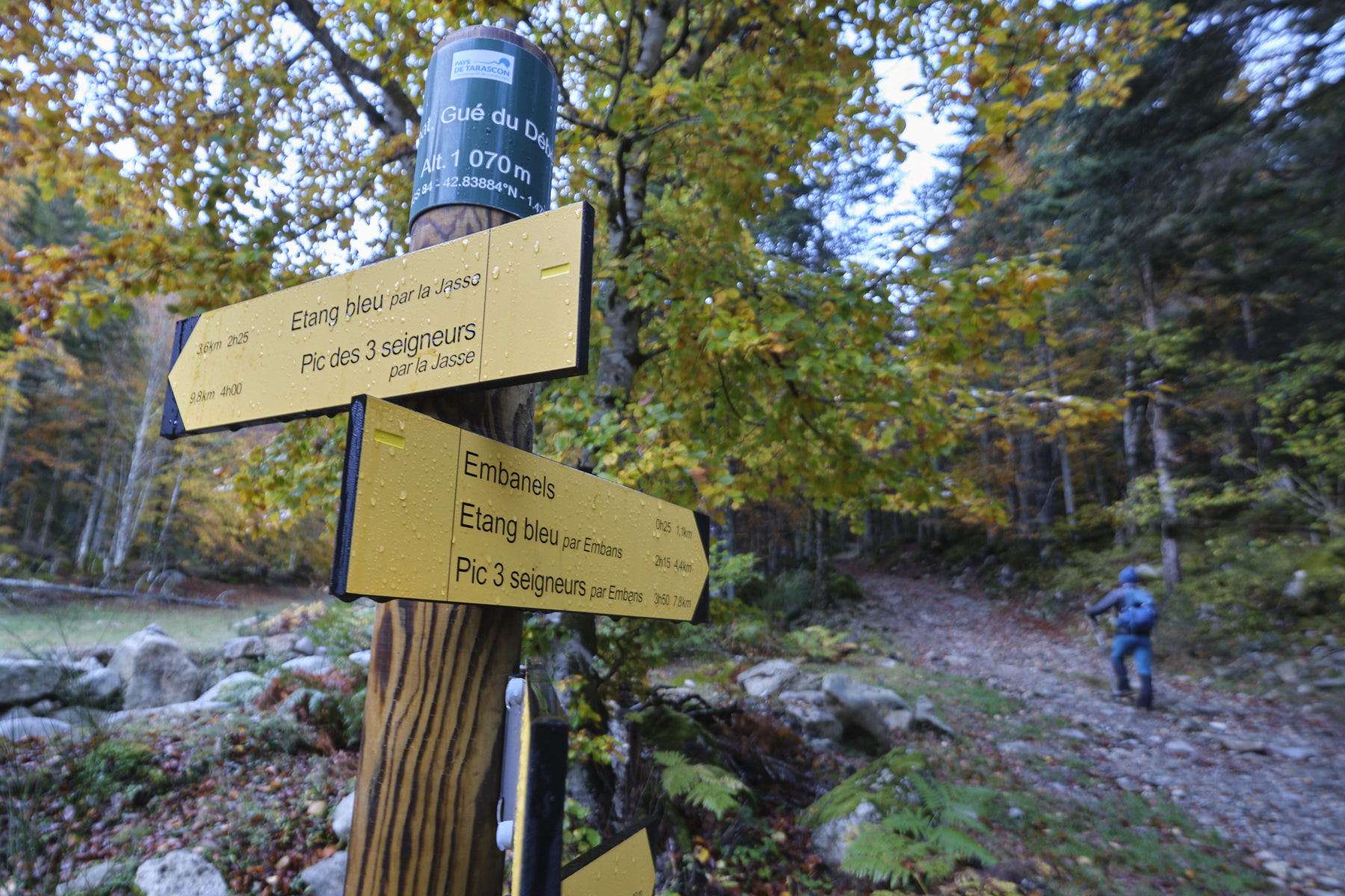
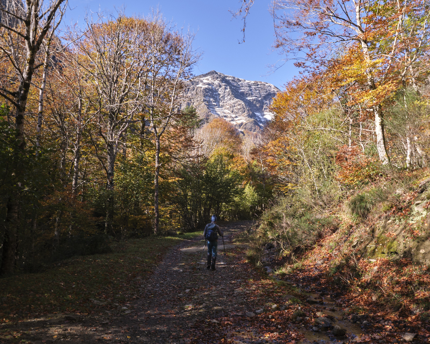
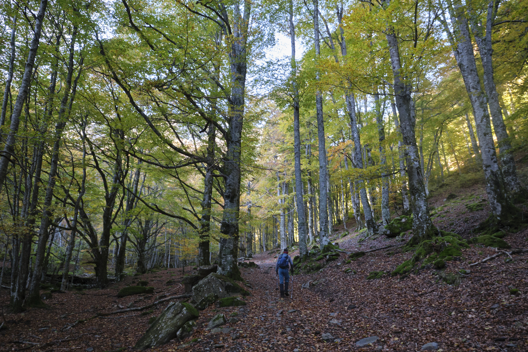
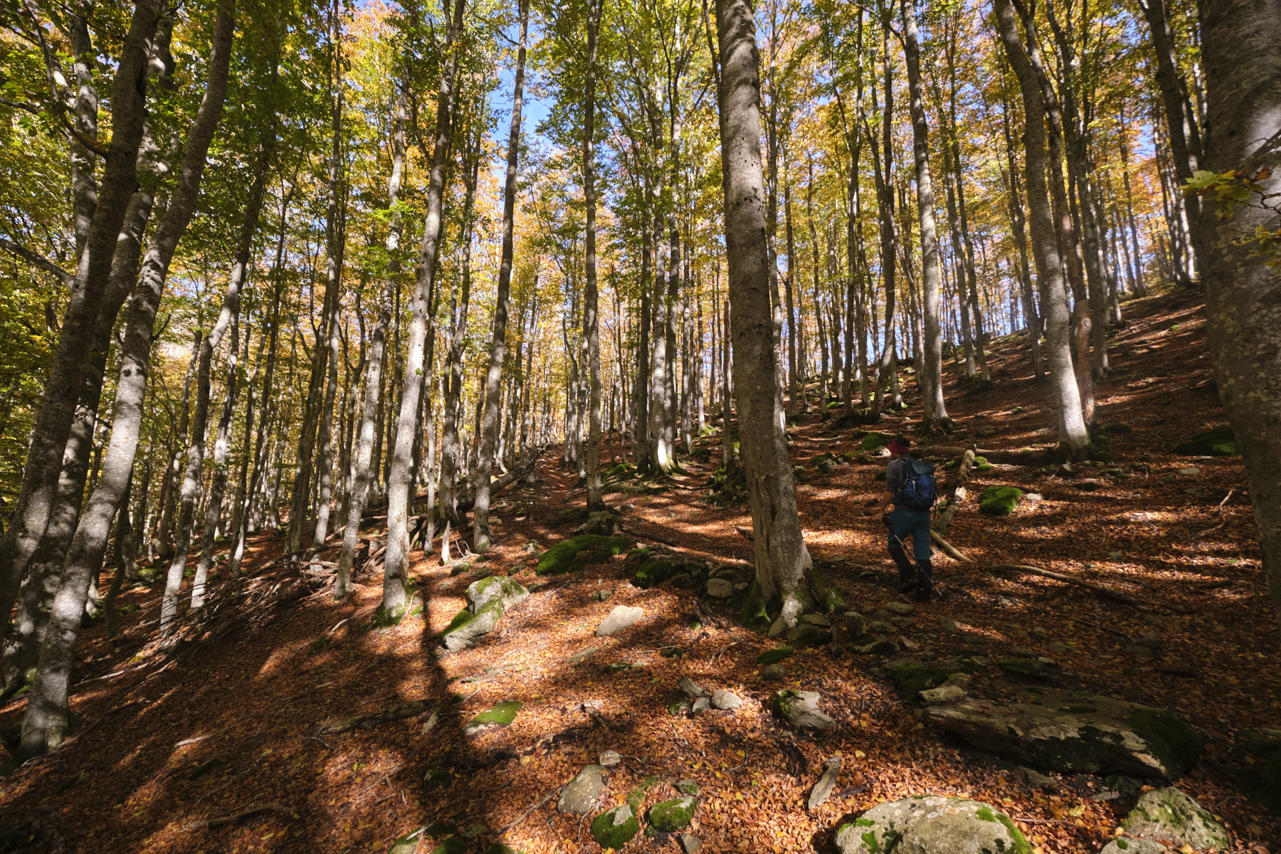
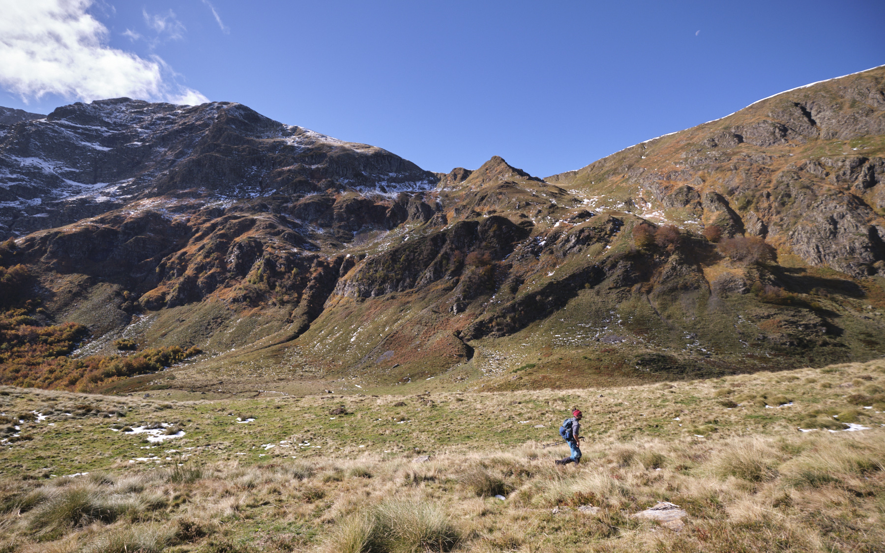
Follow the trail to the right towards the Etang Bleu par Embans and the Cabane d'Embanels. In front of the Cabane d'Embanels, leave the path that climbs to the left towards the Étang Bleu and continue straight on, staying on the left bank of the Courbière stream. The trail climbs and gradually steepens in the forest, to emerge higher up in a large clearing where you'll find the Cabane de la Coumeders.
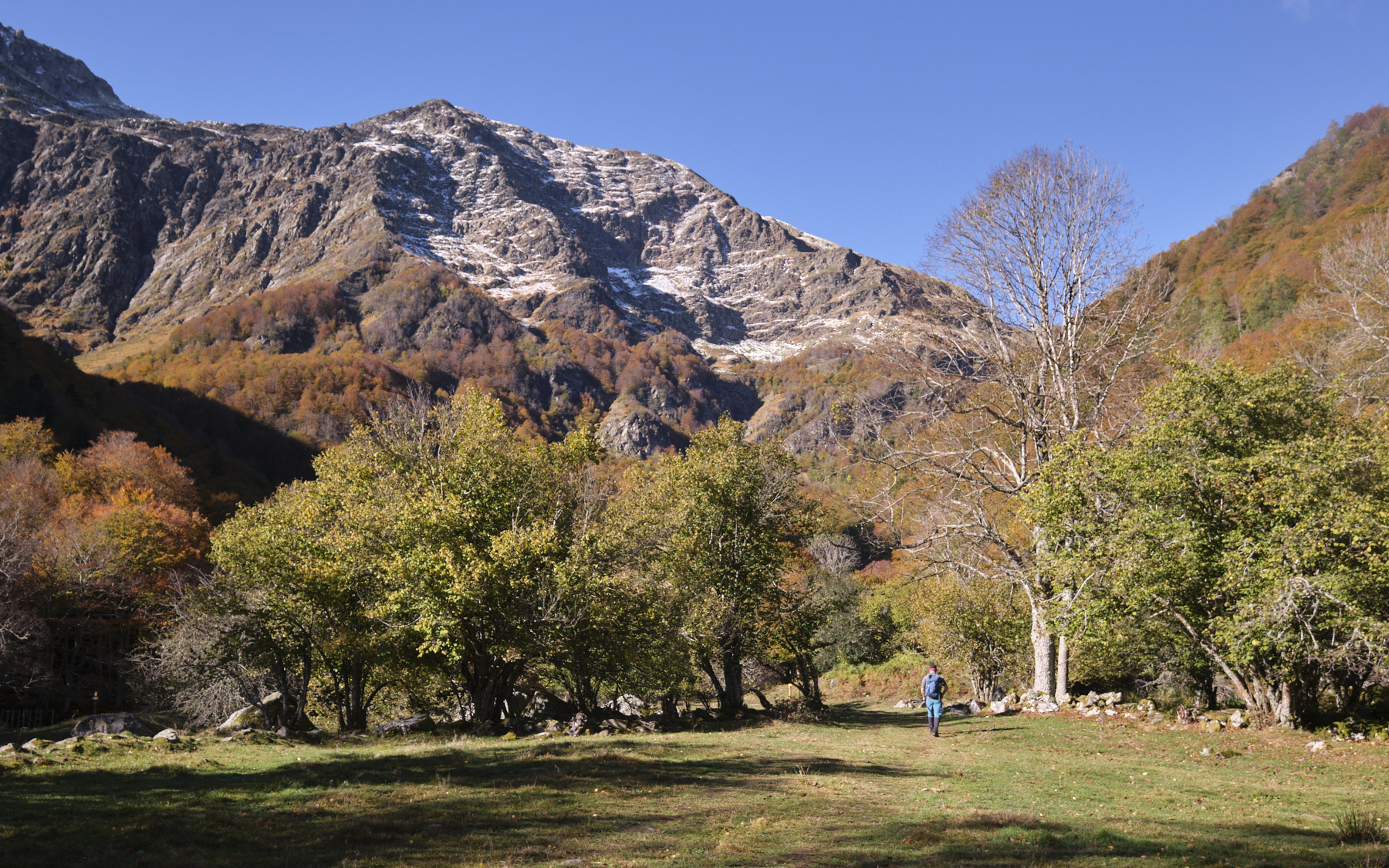
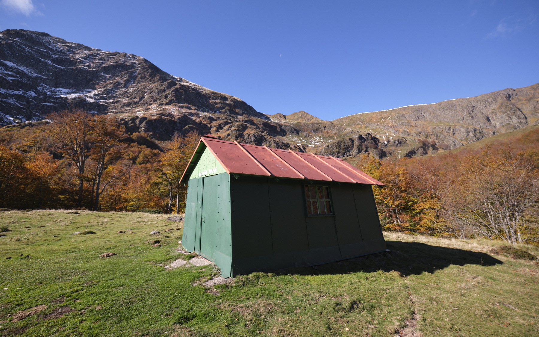
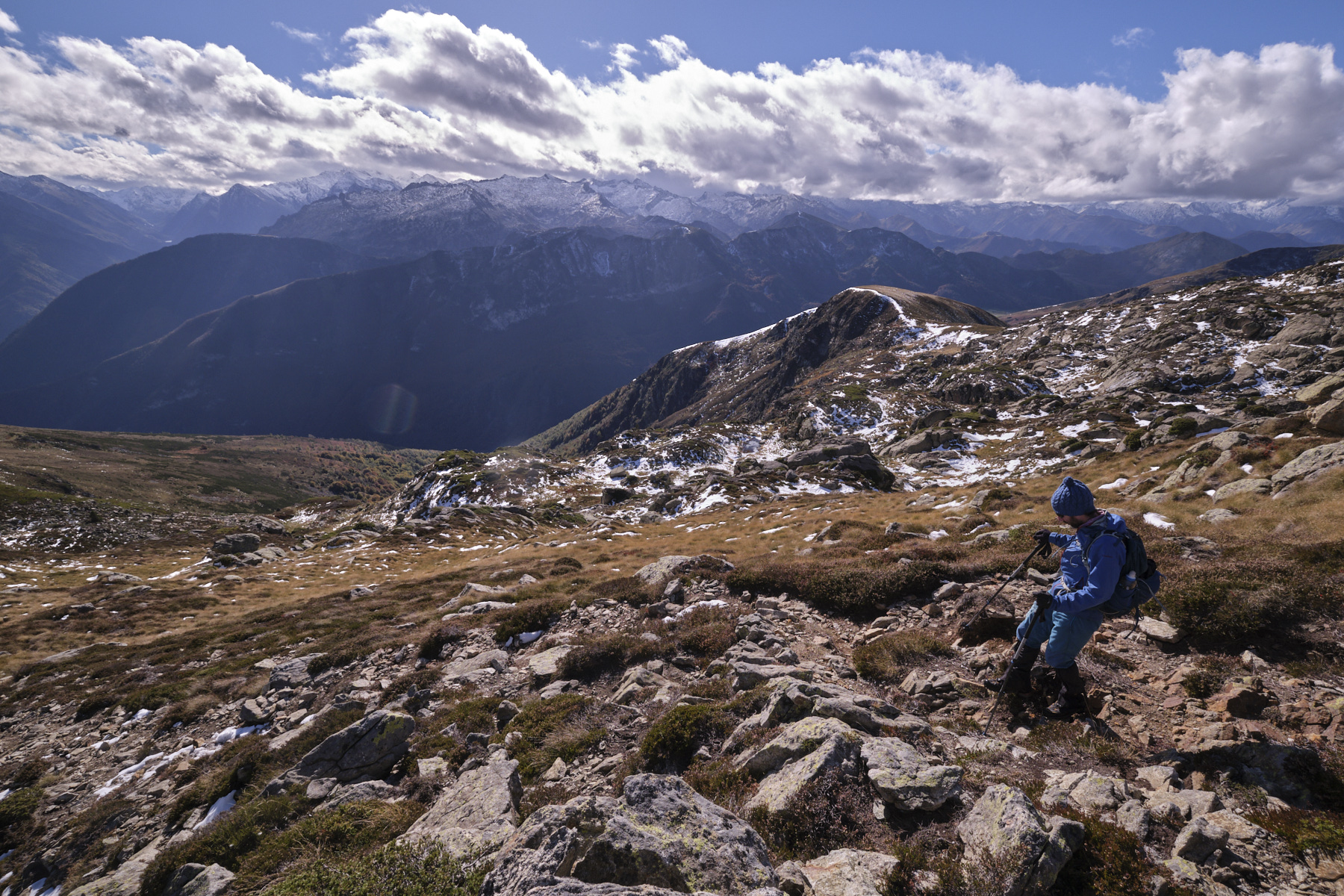
The rest of the way is on a less obvious path, quite well marked on the ground in places, but the GPS track makes it easy to navigate, particularly in the undergrowth. Descend behind the hut, cross the stream and follow the path up into the forest, heading north-west. Higher up, you come out onto completely open ground, over a field of gispet and facing the north-east walls of the Pic des Trois Seigneurs.
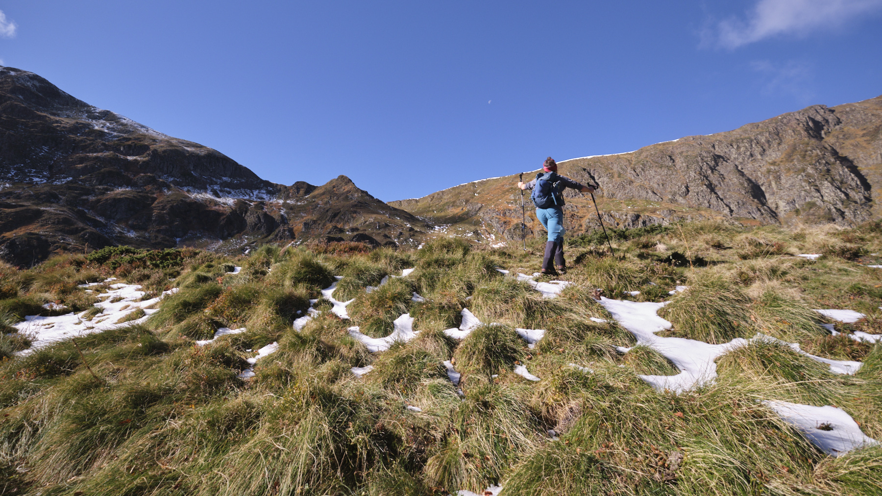
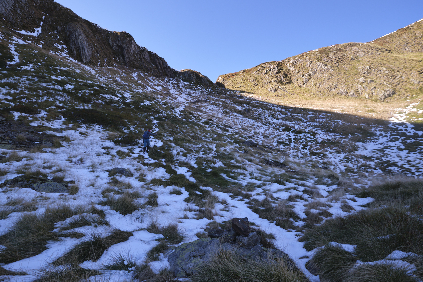
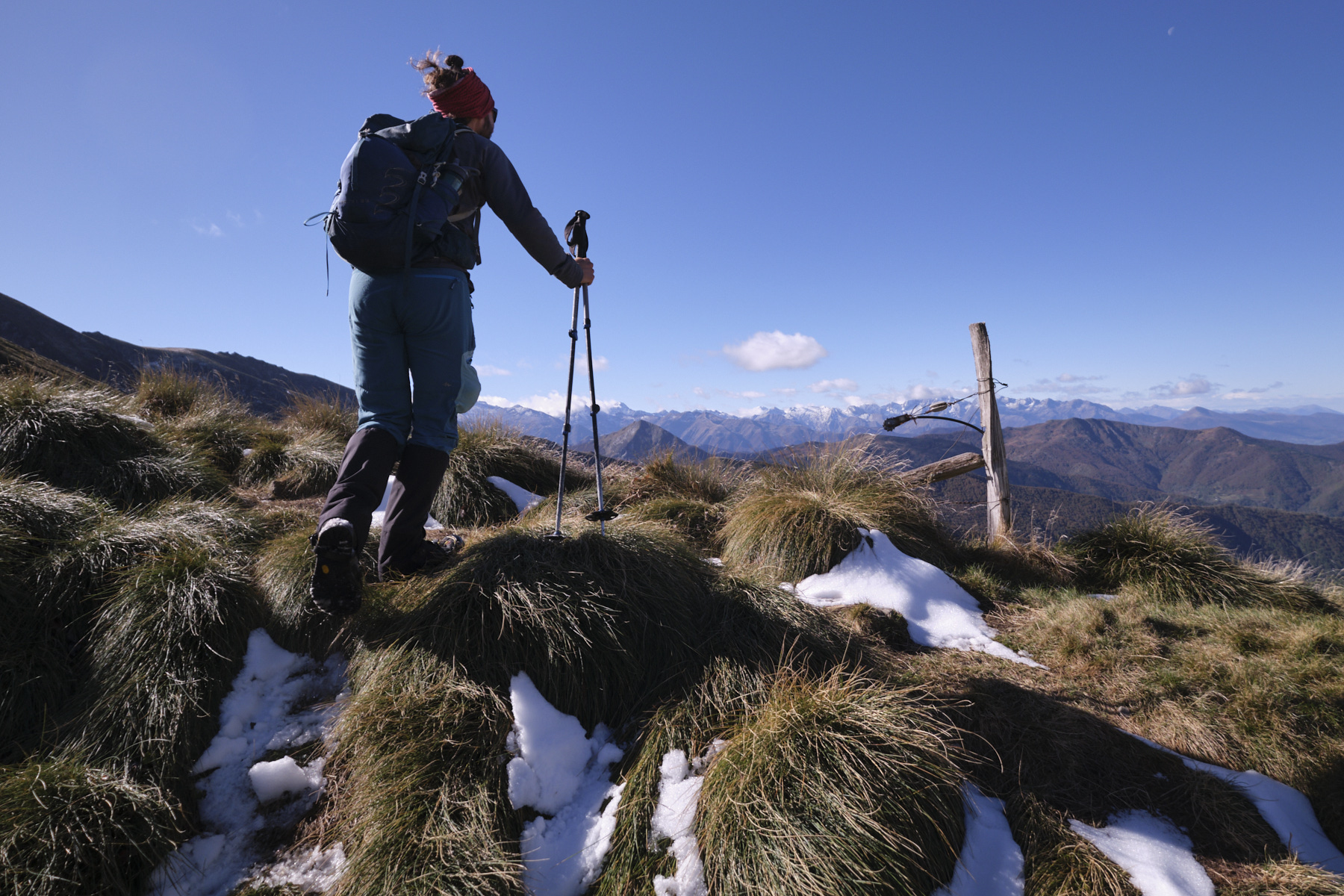
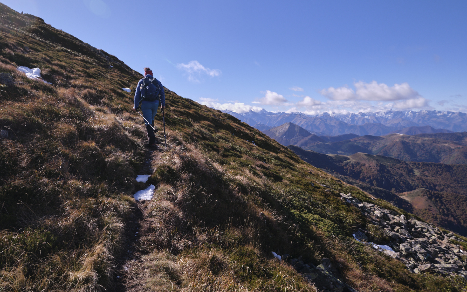
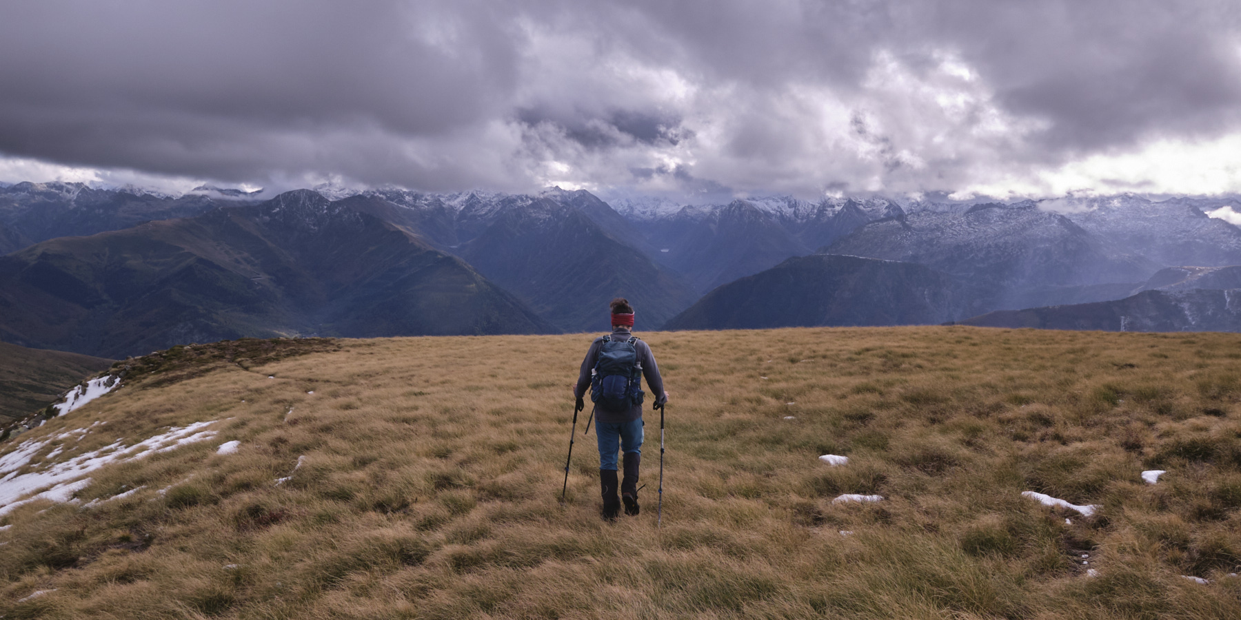
Cross the bottom of the valley, staying as level as possible (higher than the map), to find a cairned path that is more obvious as you climb up a small corridor with a few trees. Above this, follow the steep, steady path straight up the slope, eventually aiming for a clearly visible, narrow, gap-shaped pass, the Col de la Pourtanelle. You emerge onto the ridge with a superb view to the west and the undulating crest that leads due south to the Pic des trois Seigneurs.
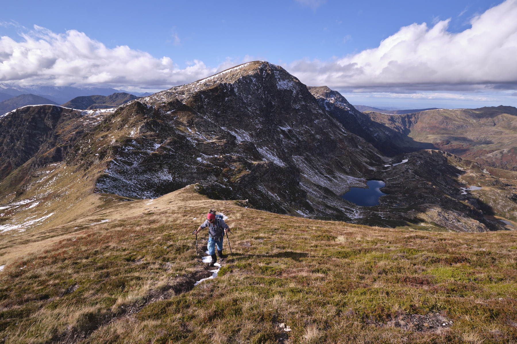
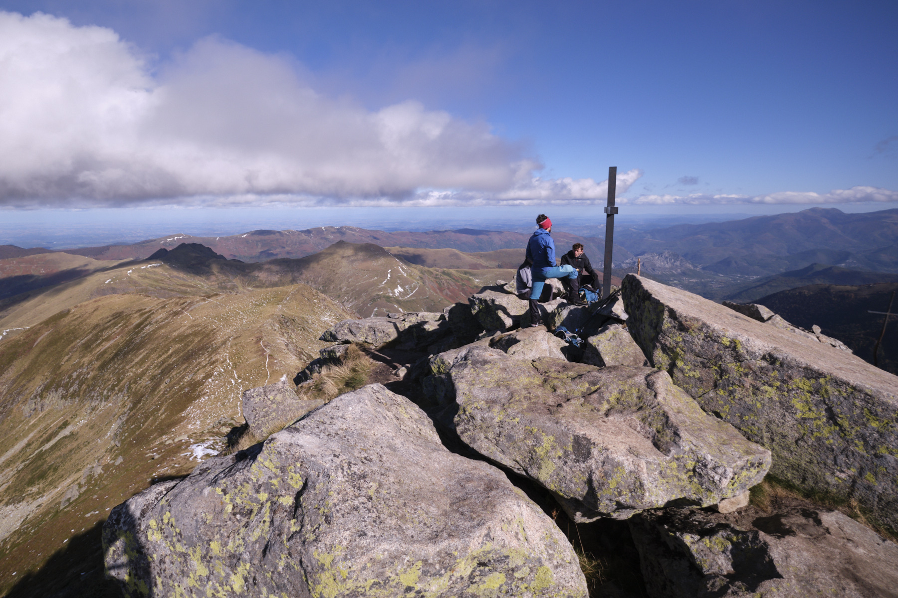
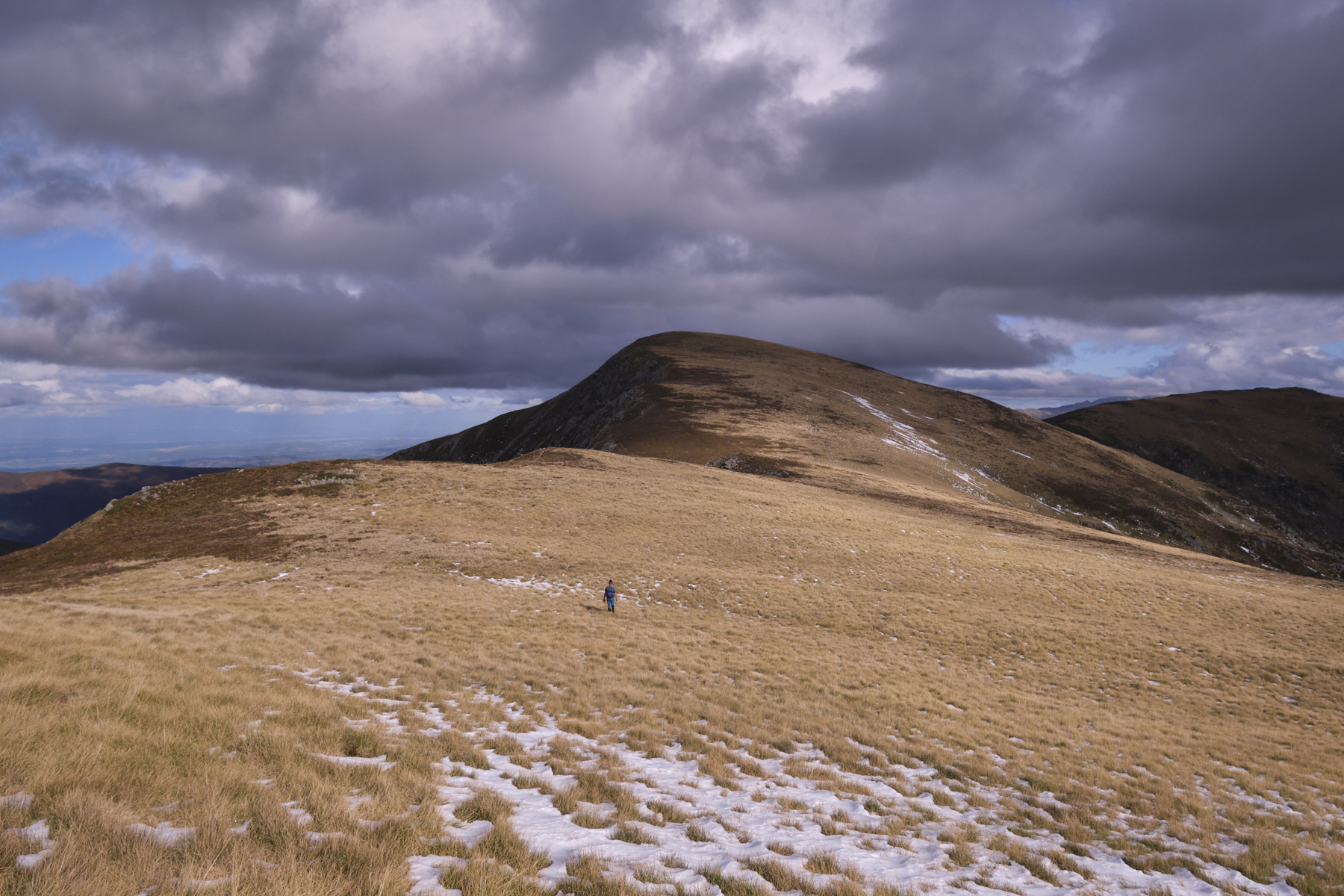
Part 2: Pic des Trois Seigneurs and ridges to Col de la Couillate (2199m, 1h30 to 2h)
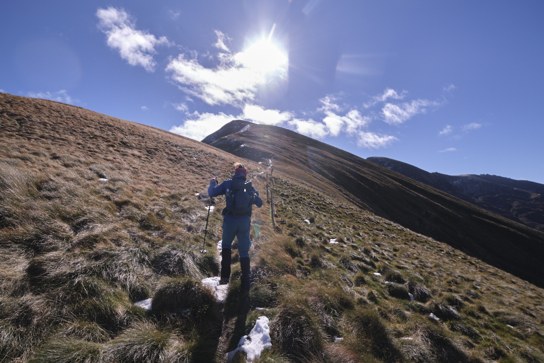
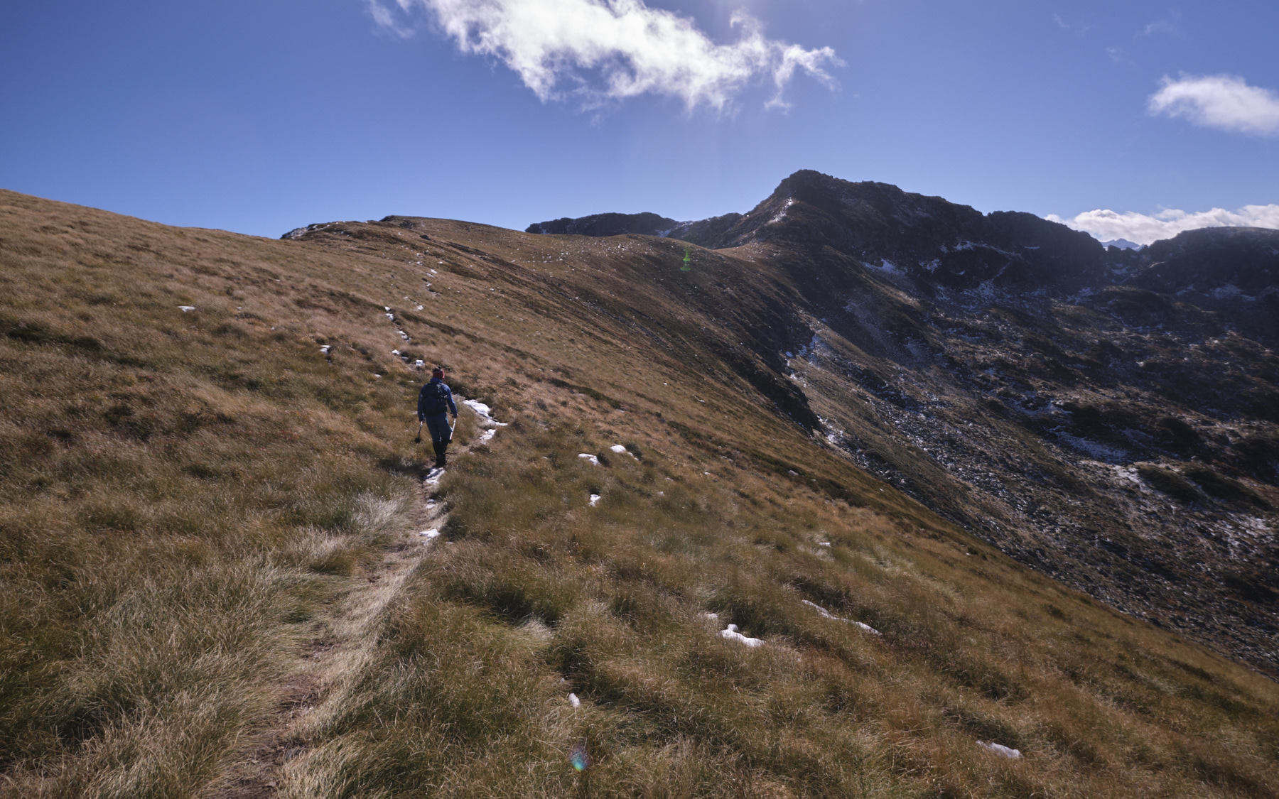
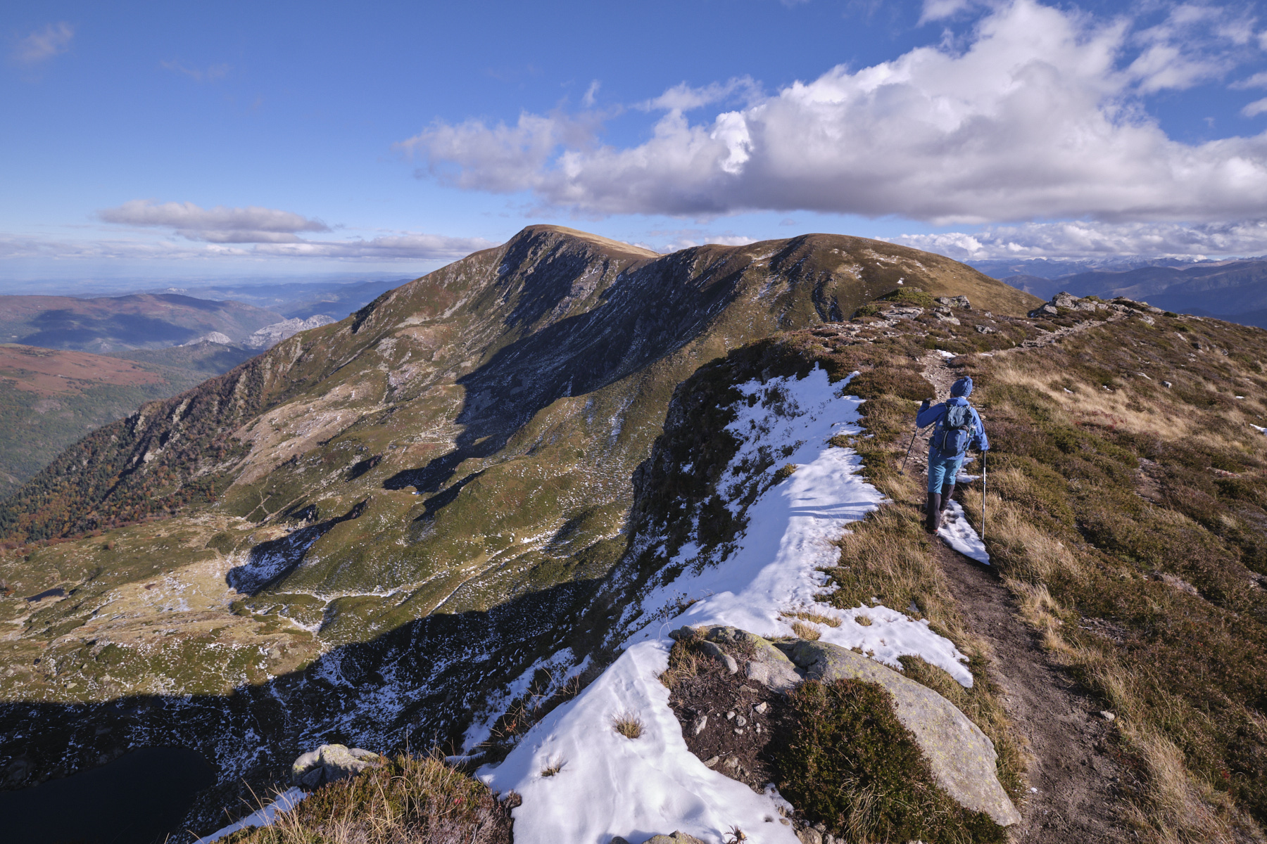
We set off due south, following the path that attacks the ridges to cross a first summit (which masked the Pic de Trois Seigneurs) and then, a little further on, the head of the Pic des Trois Seigneurs, which is steeper and has boulders on the approach to the summit.
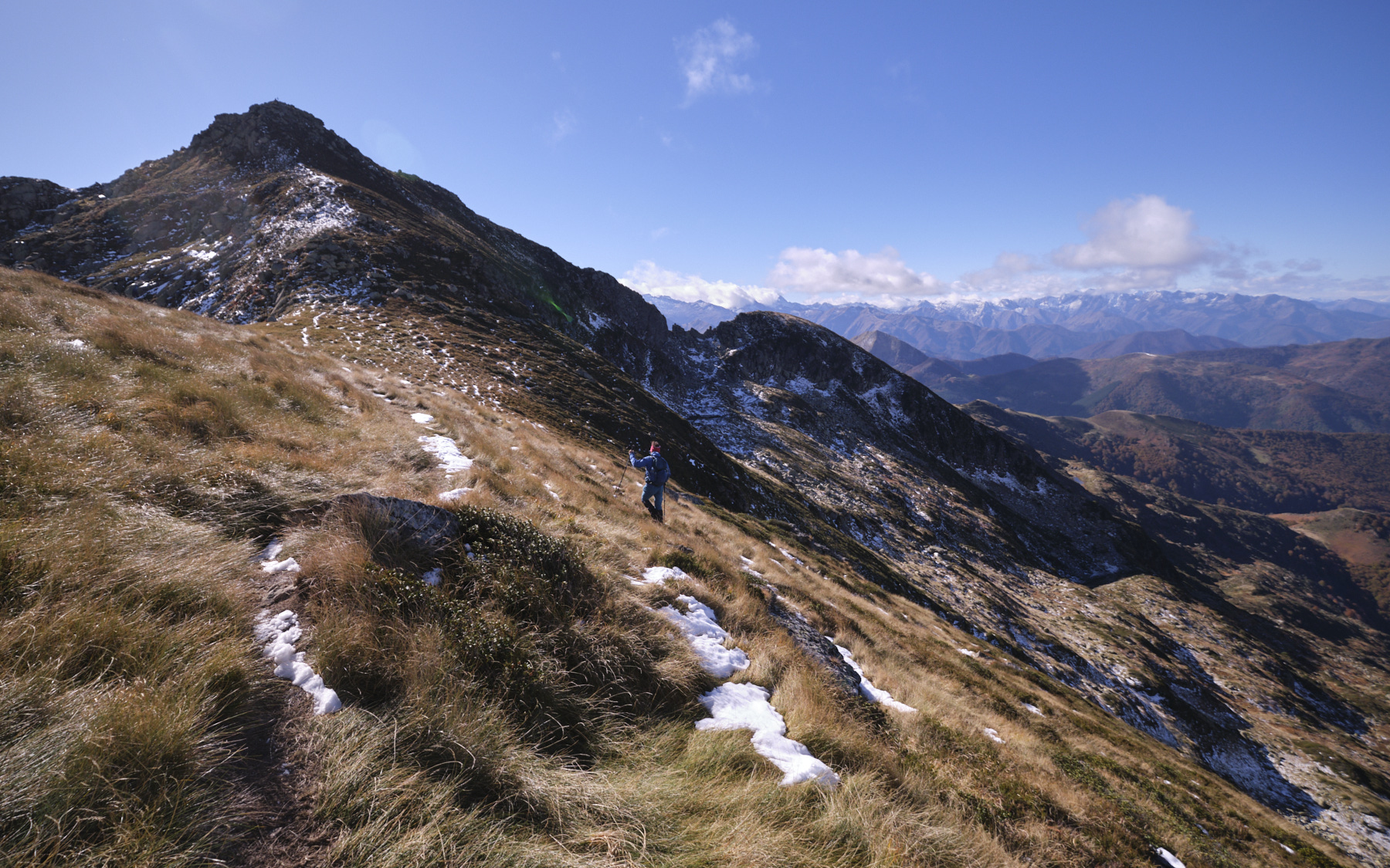
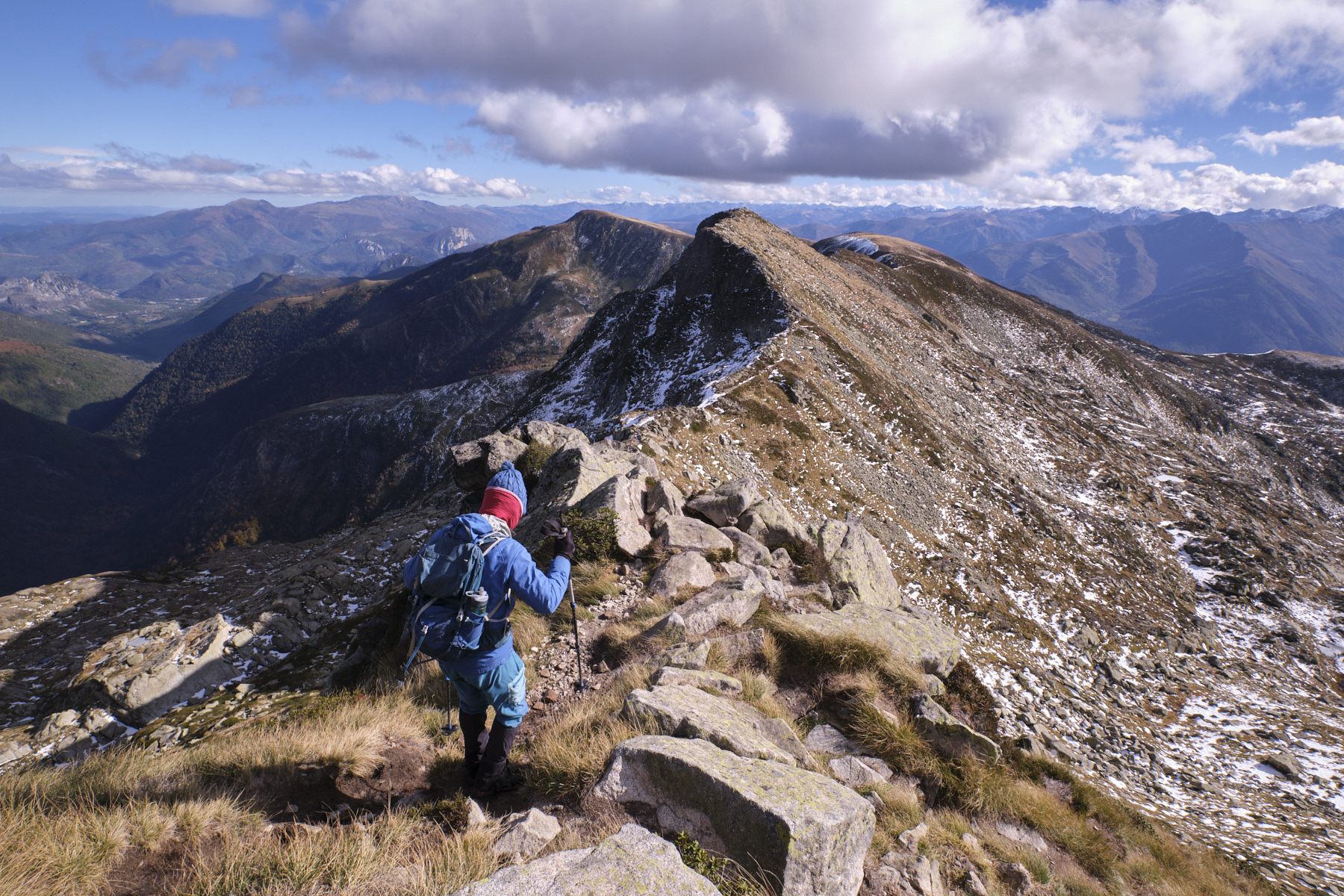
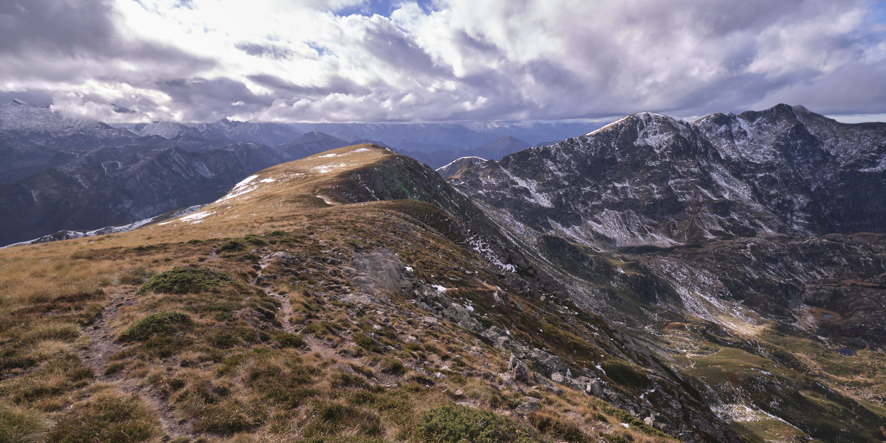
From the summit, descend following the rather airy PR trail to the east, then bending to the southeast. Put your hands down to balance yourself. You can cross the head of the Pic de Crède on the south-western slope. Continue up the rounded dome of the Pic de Peyroutet. From here, the rest of the route is clearly visible, as far as Bassibié. Below, on the east side, you can begin to make out the Etangs Long, des Rives and Etang Bleu. Descend, staying on the path that runs along the rugged ridges to reach the Col de la Couillate below (you can return here to escape).
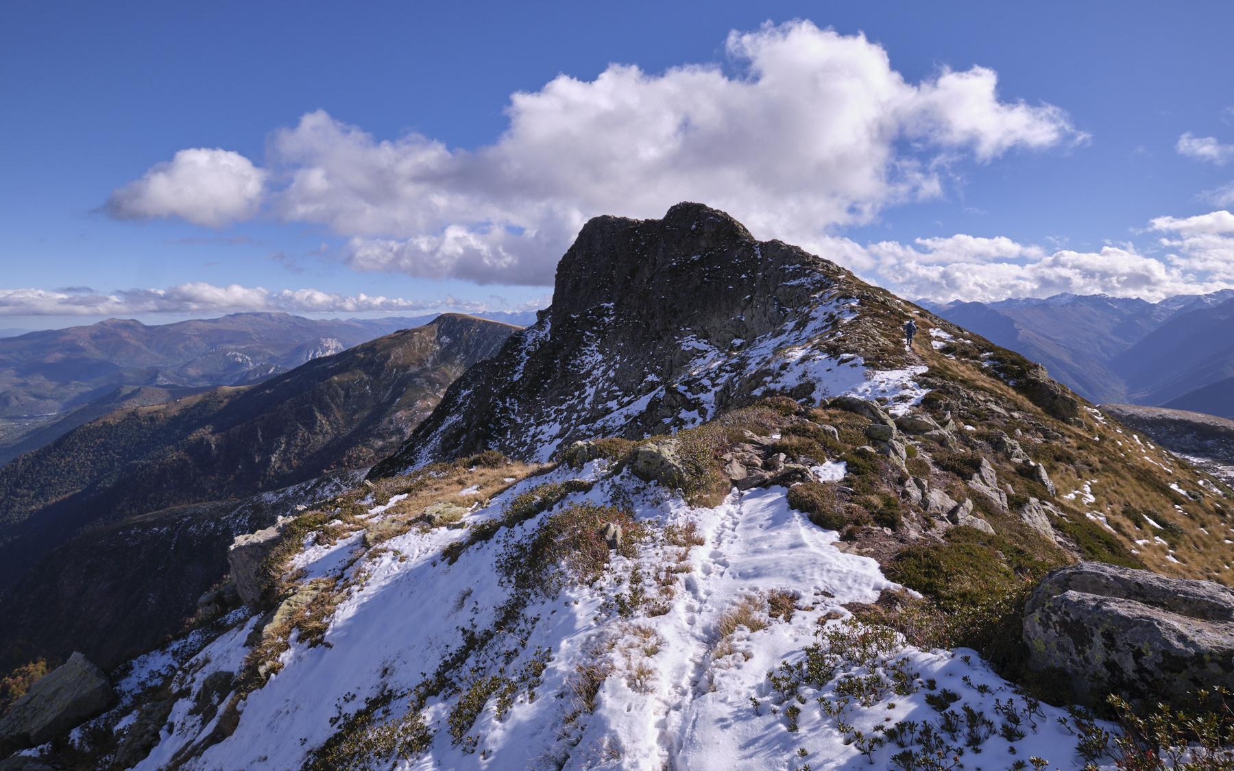
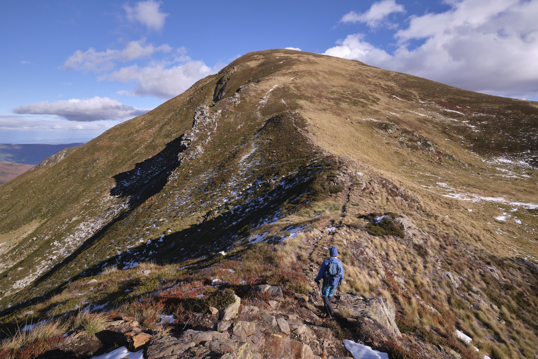
3rd part: Col de la Couillate to Pic du Bassibié (2114m, 1h15 to 1h30)
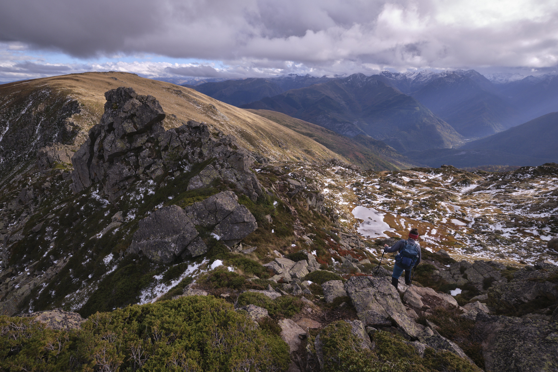
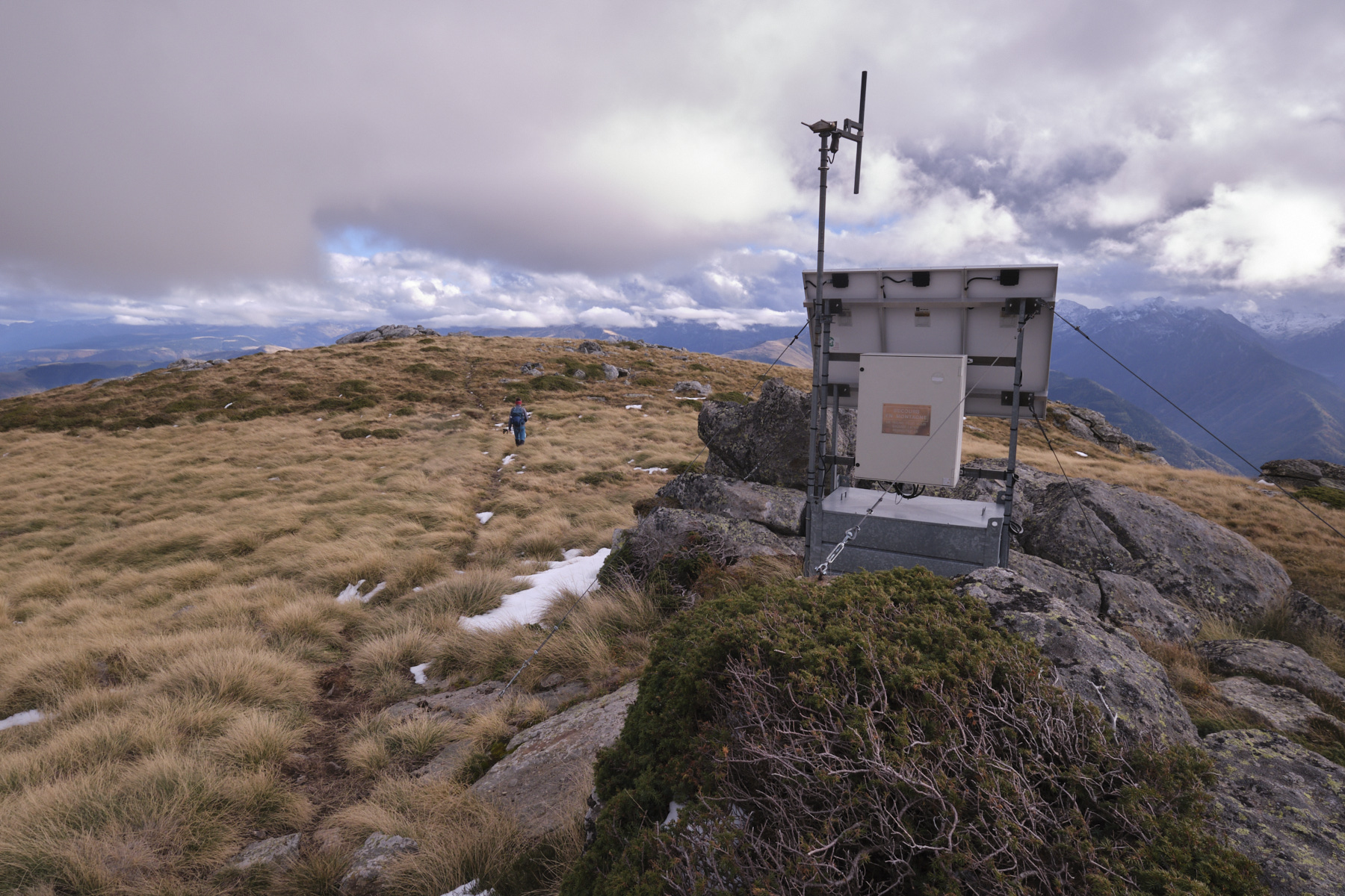
At this point, it's time to head back up the slope. Follow the unmarked but clear path which climbs straight up to a first round summit, then after a wide grassy flat, climb a little further to reach the summit of Pic de Pioulou. From here, it's back down again, initially heading south, before returning to the rather steep and airy east-facing ridge. Then a final climb up a gentler slope through the grass and finally to the Pic de Bassibié, at the level of an antenna.
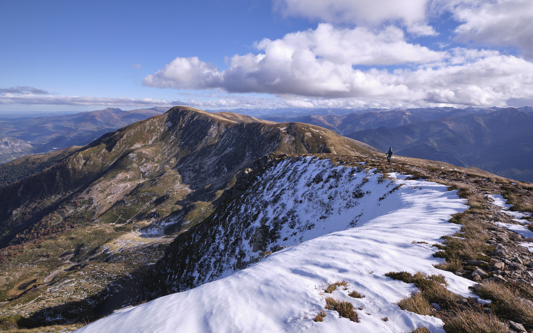
Part 4: Pic de Bassibié to Gourbit (840m, 1h30 to 2h)
From the summit, head slightly south-east, then turn 90° due north to follow the northeast ridge of Bassibié, which gradually descends, with the Étang d'Artax below. Descend until you reach the pond, then head south to reach the Cabane d'Artax. At this point, take the yellow PR path down to the village of Gourbit.
Return to the parking lot if there is only one vehicle (1h30).
Go through Gourbit and, in front of the cemetery, take a GRP trail on the left that goes into the undergrowth. It climbs a little before dropping back down to the route de la Freyte, just above the mini hydro-electric power station. And then it's a bit of a mission: walk along the road to climb 200m d+ and 3.5kms to the Pla de Ressec parking lot. Or hitchhike, if you're lucky...
Pic des Trois Seigneurs, Ariège 3 September 2018 From the Col de Lers, which marks the transition between the Haut-Couserans and the Vicdessos valley, the…


 Partager sur WhatsApp
 Partager sur Twitter
Partager sur Instagram
Partager sur Twitter
Partager sur Instagram

 Partager sur Facebook
 Imprimer le topo
 Laisser un commentaire


![2017-08-01_10-56-03 [Crête de Pinu]](https://climbing7.com/wp-content/uploads/2017/09/2017-08-01_10-56-03-crc3aate-de-pinu-e1580117578105-1024x683.jpg "The Pinu ridges, Cap Corse")


Leave a Reply