


TOPO Alpinism | CLIMBING7.COM
Publié le
 Partager sur WhatsApp
 Partager sur Twitter
Partager sur Instagram
Partager sur Twitter
Partager sur Instagram

 Partager sur Facebook
 Imprimer le topo
 Laisser un commentaire

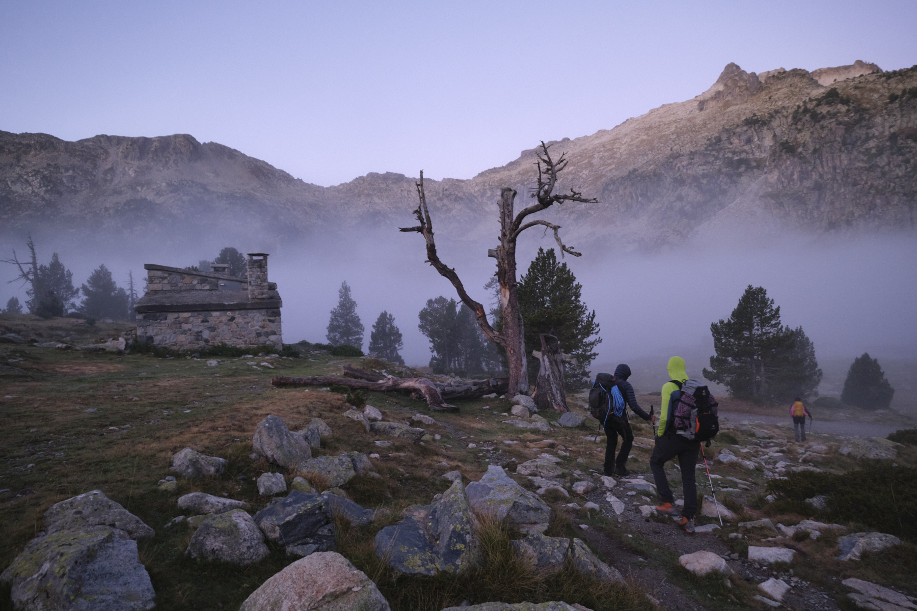
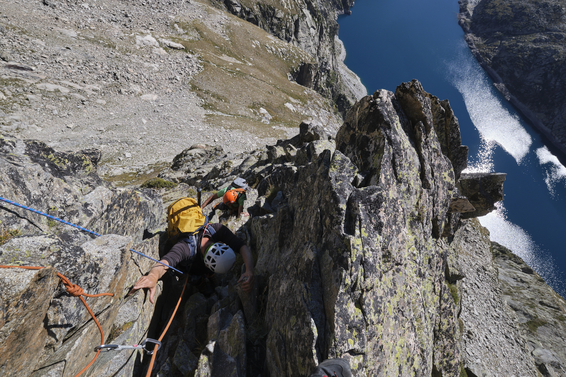
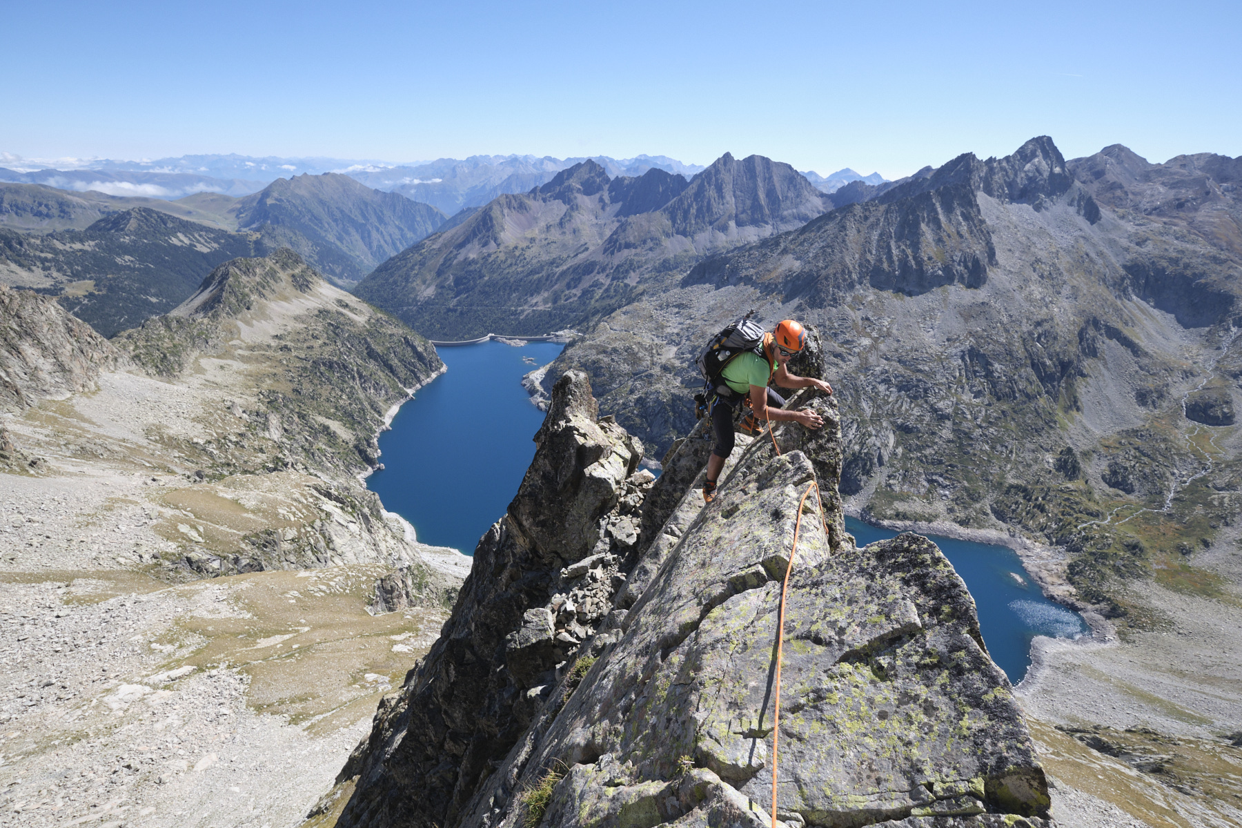
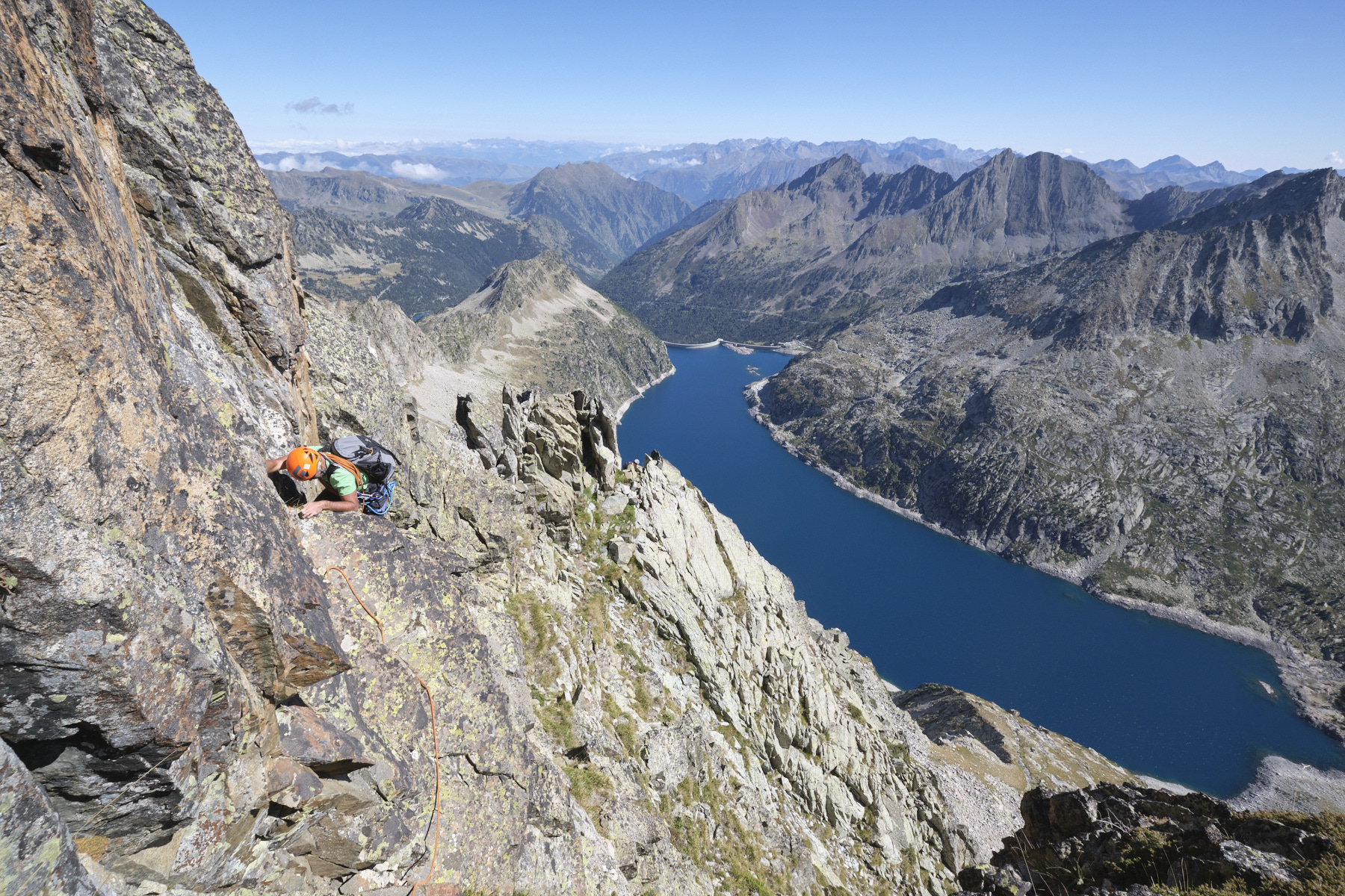
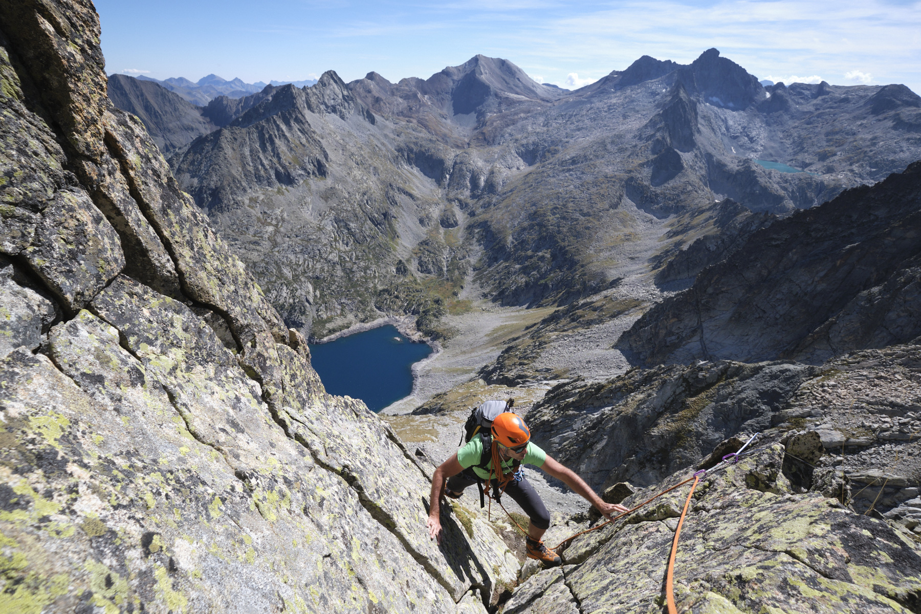
An alpine incursion into the Néouvielle massif to climb the 3039m Pic des Trois Conseillers via the airy Ferbos ridge, which literally overlooks the Lac du Cap Long. The itinerary from Lac d'Aubert corresponded to the plan to link the Ferbos ridge and the 3 Conseillers ridge. The departure from the Parking du Cap Long is more suitable and logical. The route includes a consistent approach, a solid ridge section and a return via the Batan ridge, which is also hard on the legs. An accessible outing in terms of climbing ability, but requiring a good mental and physical commitment. A beautiful high-mountain atmosphere and a chance to discover the massif and its many high-altitude lakes in the best possible conditions.
❱❱ Technical summary
■ S tarting point: Cap de Long lake parking lot, Aragnouet, Hautes-Pyrénées (65)
■ Type of route: ridge run
■ Total height gain / difficulties : 950 m / 500 m
■ Rock: granite
■ Direction: east
■ A pproach / route / return time: 2h30 / 4h / 2h30
■ Min and max altitude : 2160 m / 3039 m
■ Equipment in place: none
■ Equipment required: 40 m rope, plenty of long straps, set of medium to large friends, crampons and ice axe if necessary.
Difficulty: AD, max grading 3c, compulsory grading 3c. The route is easily protected. The descent via the Batan ridge is exposed, with a final section that can be abseiled if necessary, but only at 1 point.
❱❱ Access to the place
From Lamnezan, head due south up the Aure valley. Pass Arreau, Saint-Lary and, just before Aragnouet, turn right towards Lac d'Oredon. Just before the lake, you can either turn left to leave Cap Long for more direct access, or go through the toll booth (€8 per day) and climb up to Lac d'Aubert, where you can park in the large parking lot on the right. Please note that overnight stays in a van are forbidden, but camping in the bivouac areas is permitted.
❱❱ Map & topo
The routes for the final access to the ridge and the descent from the Brèche via the Batan vein are indicative.
Voir en plein écran
❱❱ Itinéraire
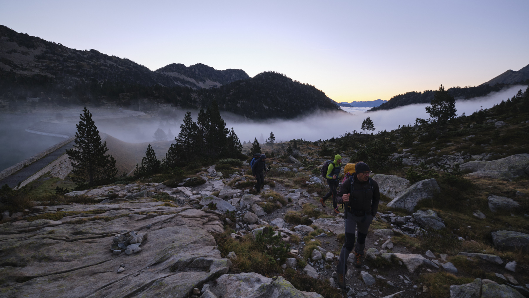
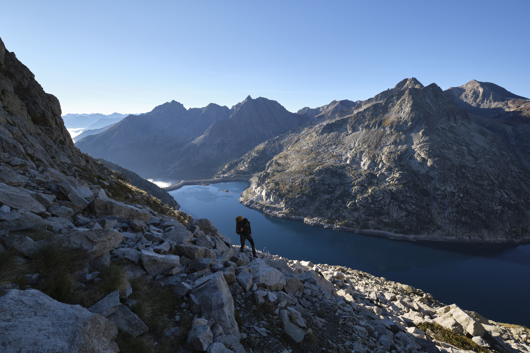
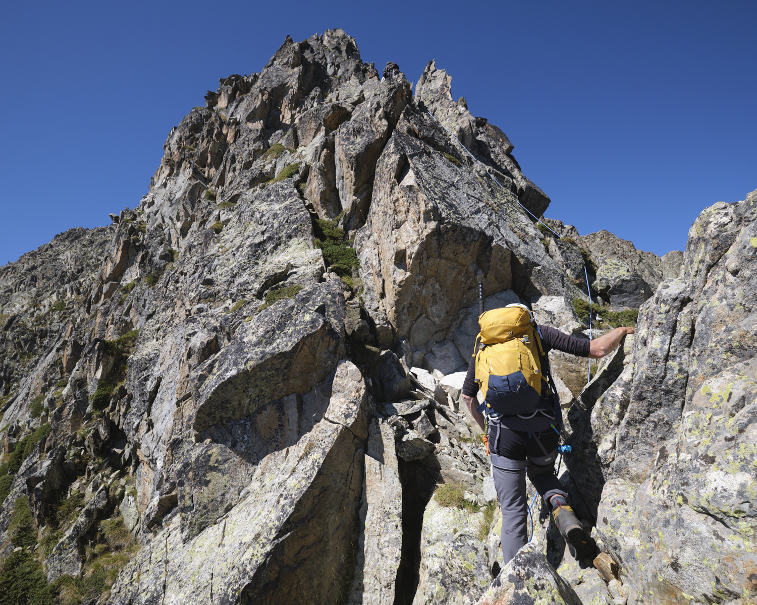
From Lac d'Aubert, cross the dam and take the path up to Pas du Gat, aiming due south. A 45' to 1h climb takes you to the Cap Long side. Descend slightly towards the Cap Long dam before finding a grassy path along a small scree that joins the trail coming from the dam towards the breach. Follow this path, which crosses several scree slopes and scree slopes on the way up, but skirts the Laquettes ridge. It takes quite a while before you reach the large scree slope below the breach. From here, don't climb towards the clearly visible Batan ridge, but continue across it, aiming for the bottom of the Ferbos ridge. The start is at the foot of a characteristic chimney with a large boulder stuck in the middle, easy to spot.
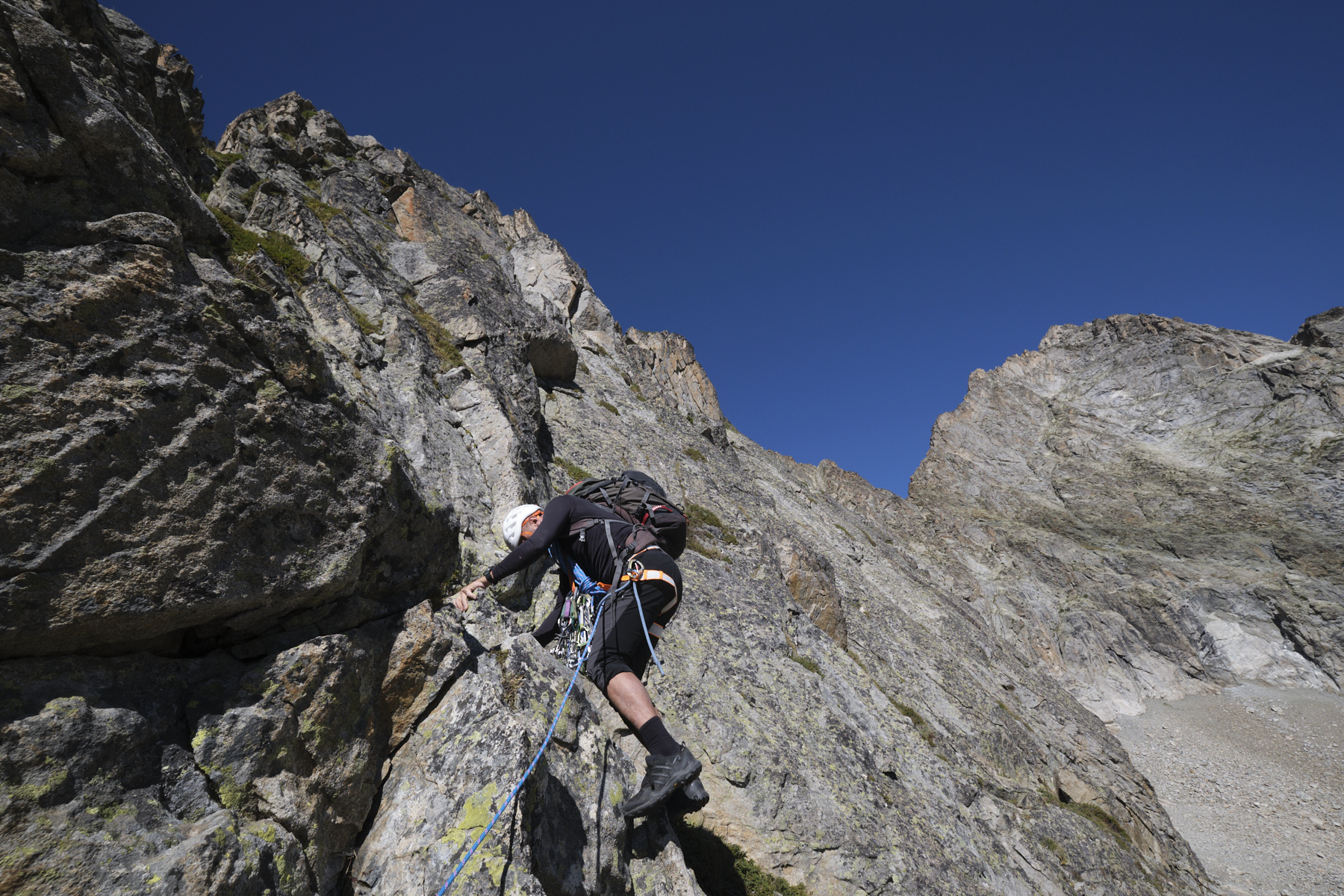
The start is either in the chimney below the big boulder or, as we preferred, by climbing to the left of the chimney. It's more aerial, but still IV. From here, you reach the main ridge. (There's an option to start from below).
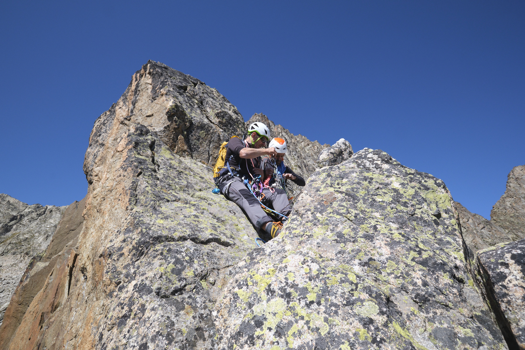
The rest is difficult to describe precisely. The progression alternates between easy II/III sections and steeper, exposed and airy passages to climb or cross. There are 2 or 3 sections in the IV/IV+ range. The rock is generally very good, and the route is fairly straightforward.
In the final section, you can duck slightly to the left to reach the summit easily, at 3039m. From here, you have a view of the north-western slope and the numerous Néouvielle lakes, with the refuge de la Glère in the background. You can also see the 3 conseillers ridge to the north, which leads to the Pic du Néouvielle.
From the summit of Pic des 3 Conseillers, descend northwards on a wide, rounded rocky ridge. Stay on the edge of the ridge before swinging left to catch a cairned path that ends at the Brèche du Néouvielle. From here, descend onto the southeast-facing Batan ledge, in "crappy" terrain, unstable scree, broken path. Further down, the vire becomes narrower to pass an exposed section equipped with a fixed rope. Just below, the final ramp can be unclimbed; it's tricky but not too hard. There's an abseiling point for the first few metres. You then find yourself at the top of a large scree.
All that remains is to descend this scree to pick up the cairned approach path and return to the Pas du Gat, before switching to the Lac d'Aubert side and returning to the starting parking lot.
Topo of the route on Camp to Camp.


Leave a Reply