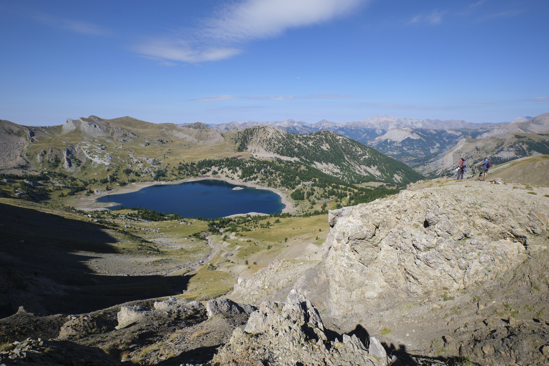
Close to Mont Pelat, this hike offers breathtaking panoramic views of deep-blue Lac d'Allos and its cirque of sculpted towers. The ascent to the Sommet des Garrets offers a unique view of the lakes and the Lausson plateau. From the summit of the Montagne de l'avalanche, the panorama of the cirque d'Allos is equally spectacular. Although very popular, given its accessibility, the route remains splendid, with encounters along the way with numerous marmots, a few chamois and tribes of not at all shy ibex. An excellent ratio of effort to pleasure for the eyes, just the way we like it.
❱❱ Technical summary
■ Departure point: Col de la Cayolle in the Mercantour, between Alpes-Maritimes (06) and Alpes-de-Haute-Provence (04)
■ Type of route: high-mountain loop hike
■ Distance: 11.5 km
■ Cumulative elevation gain: +690 m
■ Cumulative negative altitude gain: -690 m
■ Estimated total time: 4h30 to 5h ■ Min and max altitude: m / 2822 m
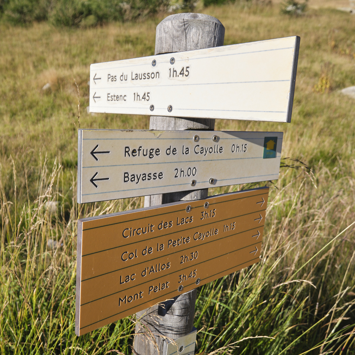
■ S ignposts: GR 56B signposted trail, except for the section leading up and down from the Garrets summit.
■ Equipment: none
■ Equipment required: none
Difficulties: steep off-trail ascent to the Sommet des Garrets.
❱❱ Access to the place
On the D902 south of Barcelonette, climb up to the Col de la Cayolle. There is a large parking area.
❱❱ Map & topo
The route to the Sommet des Garrets and the crests is indicative.
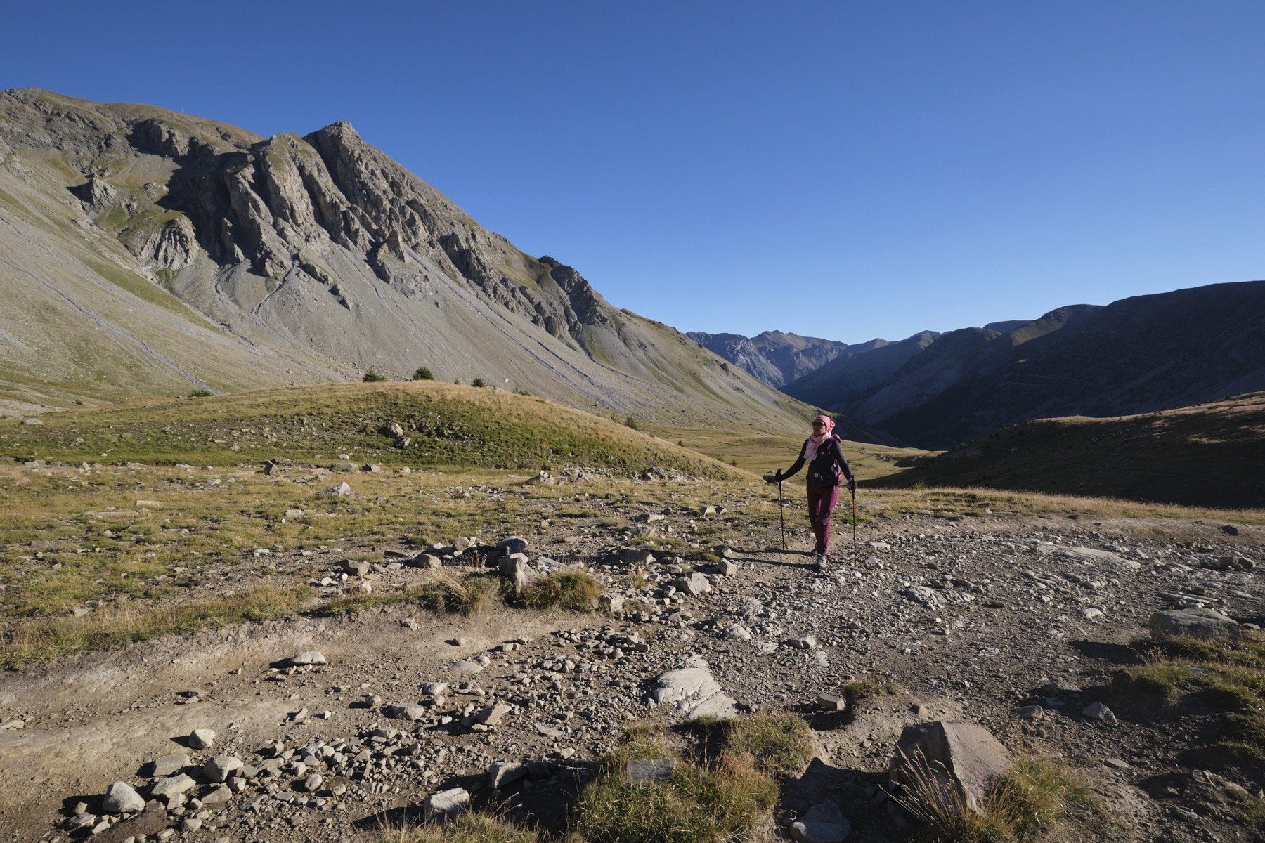
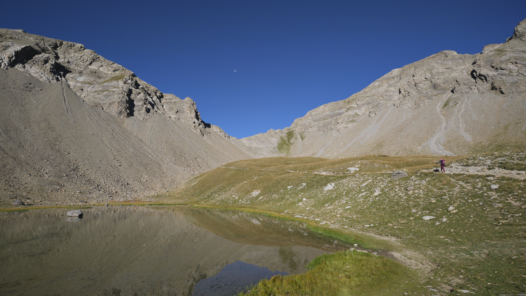
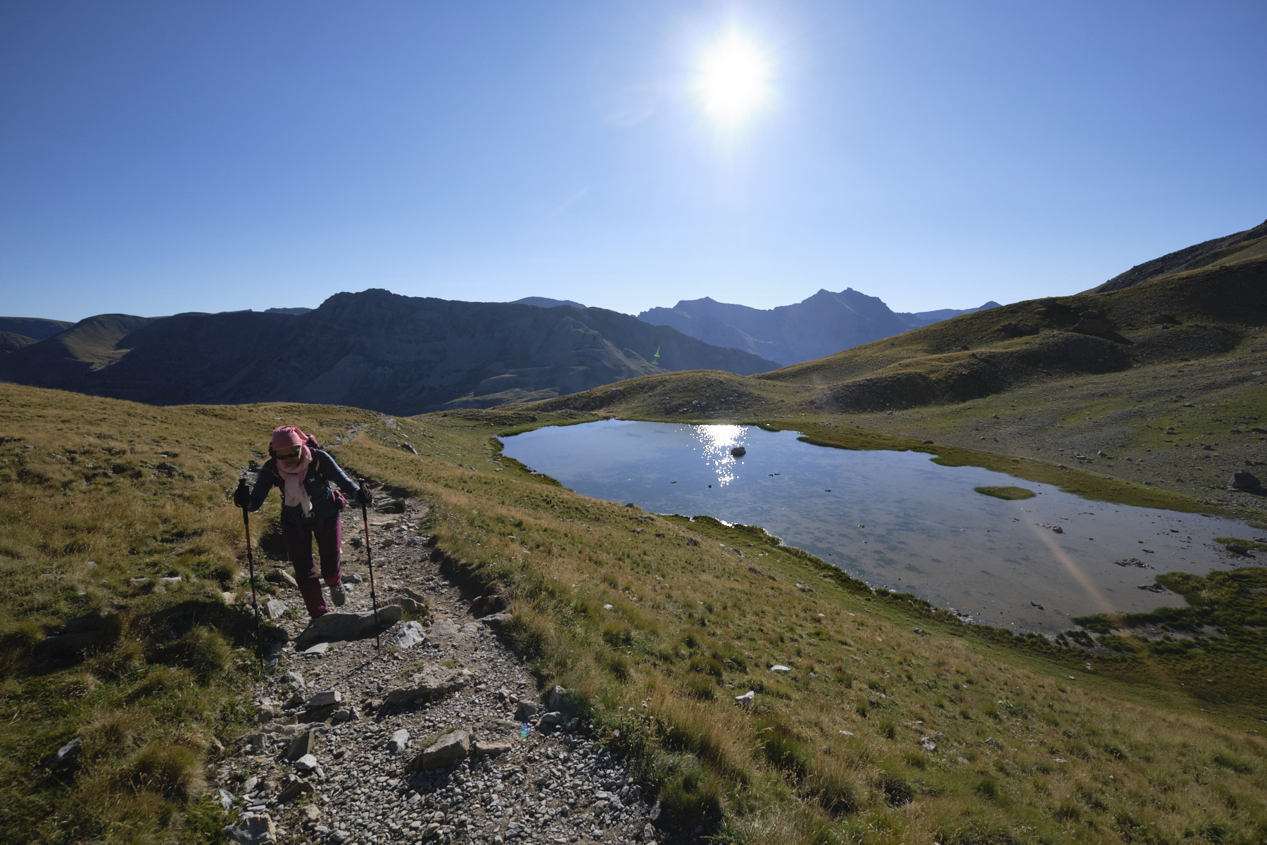
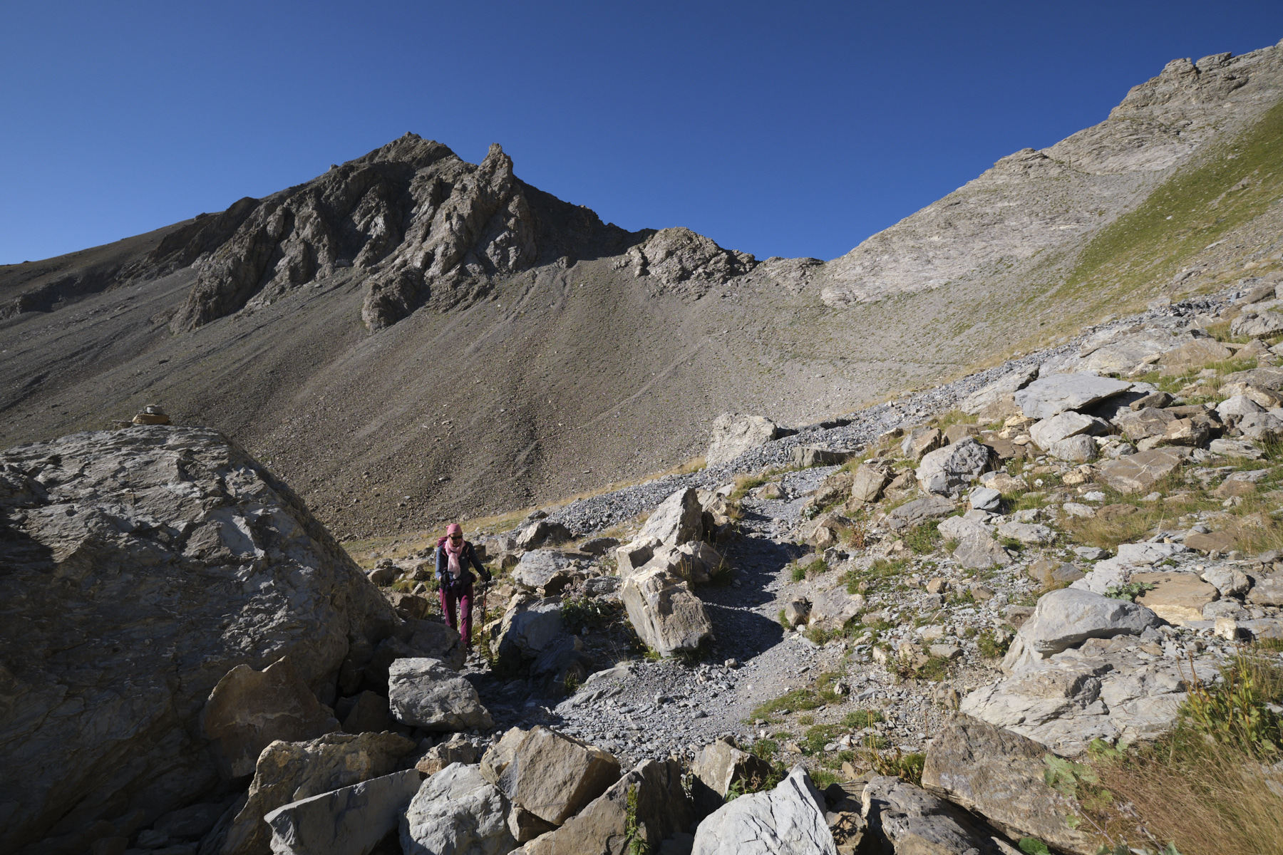
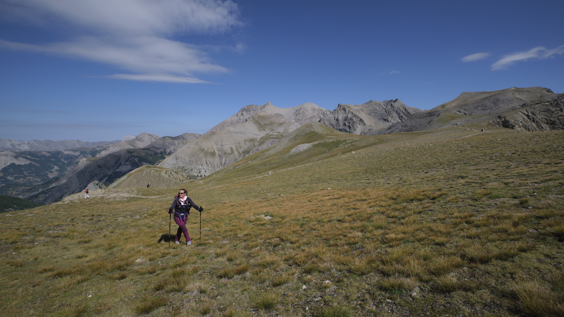
Leave the parking lot to the west and climb the GR path through the grassy valley. You soon reach a small pond, then continue up the steeper final stretch to reach the Col de la Petite Cayolle (2639m). From here, you overlook the western side of the Petite Cayolle lake. Leaving the main GR downhill, turn left at 90° on a variation of the GR to cross over the lake to another pass giving access to Lac des Garrets. At this point, leave the path and climb straight up the slope to the left off the path. The slope is steep but not really difficult. At the very top is the Sommet des Garrets, with a superb view of the Pelat massif and Lac d'Allos, which can be seen at the very bottom, beyond Lac des Garrets. The path leading west to Montagne de l'Avalanche is also clearly visible.
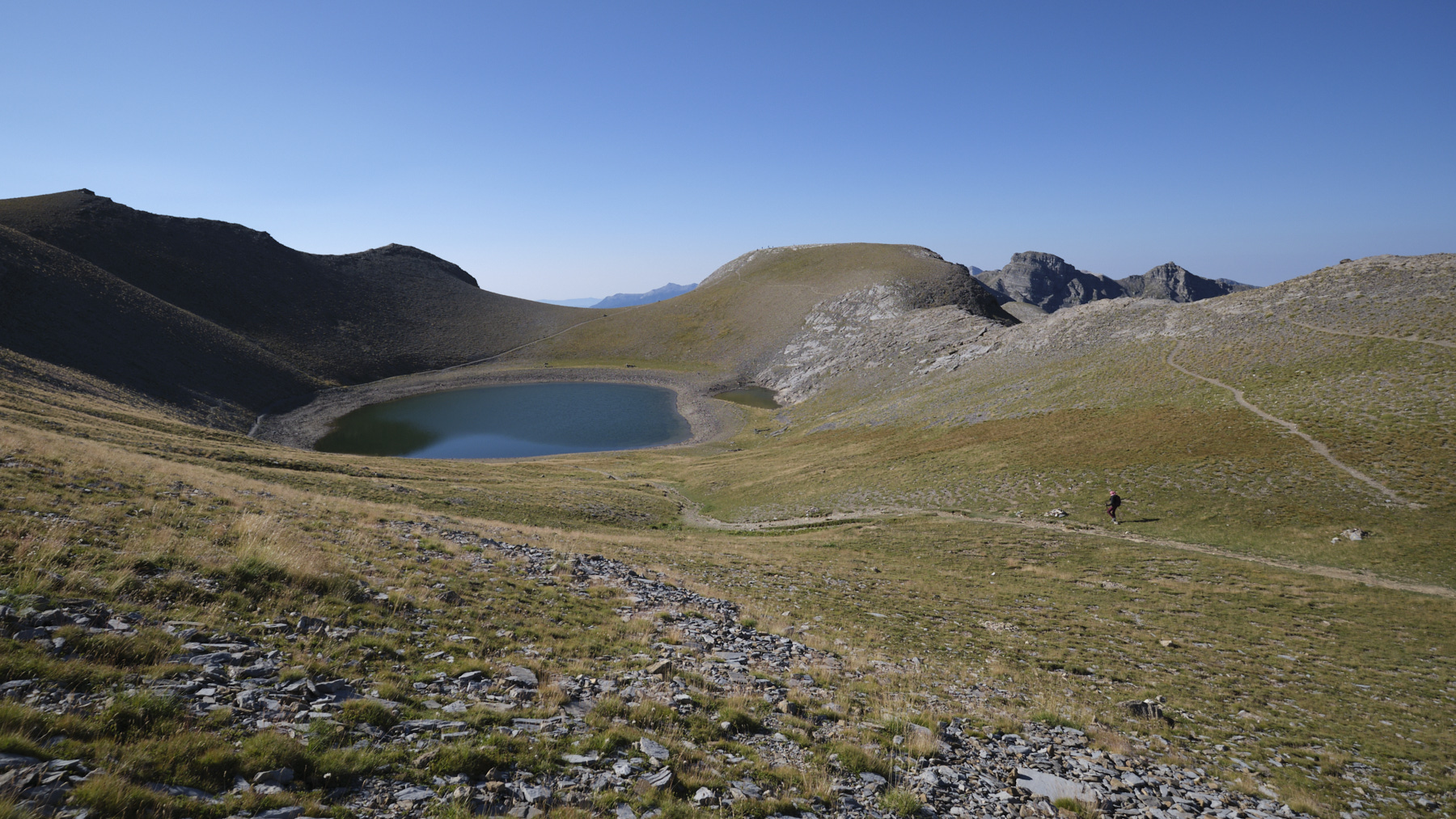
You can avoid crossing the Sommet des Garrets by continuing the GR along the Lac des Garrets (shown in purple on the map).
Part 2: Sommet des Garrets to Montagne de l'Avalanche (2729m, 1h30)
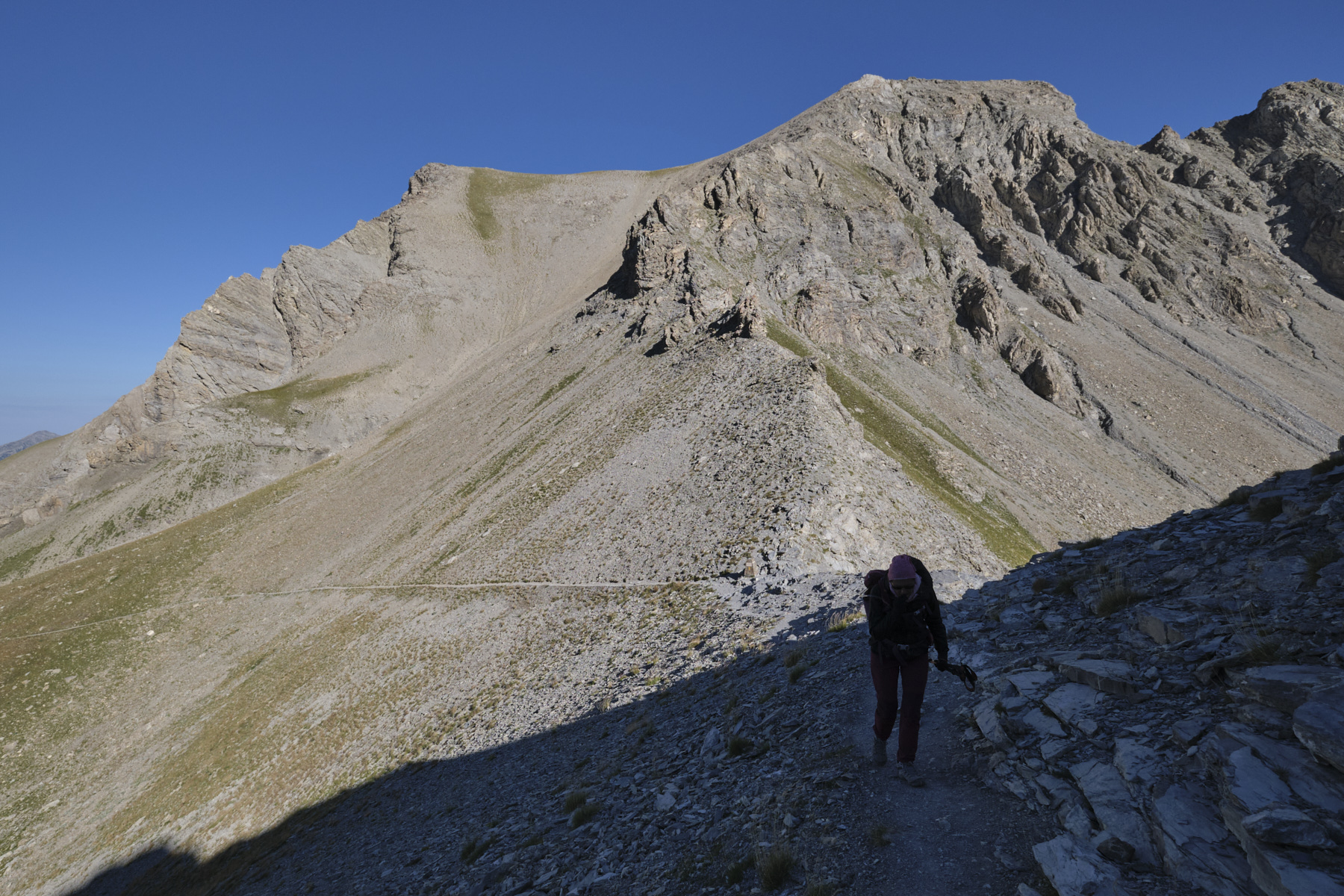
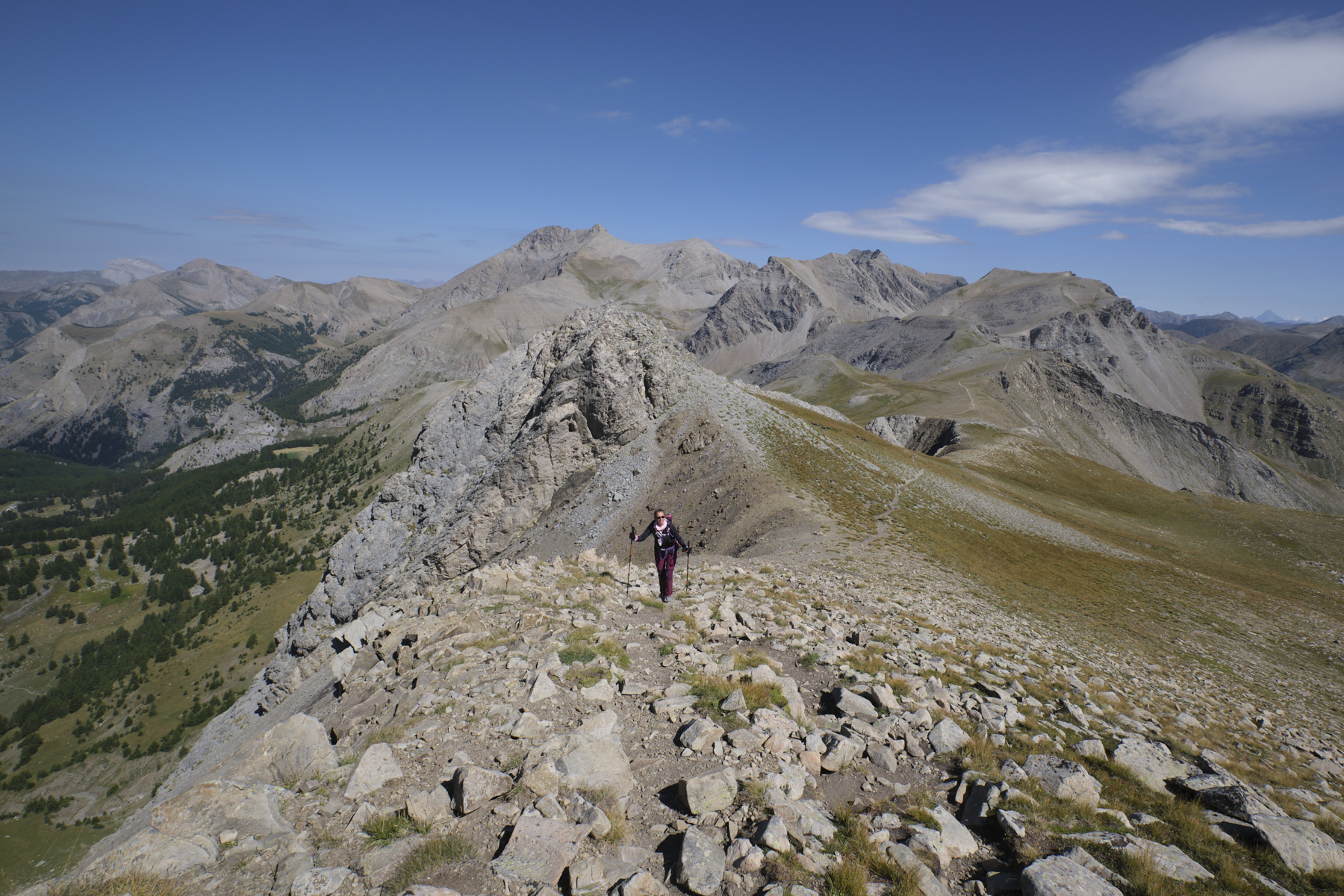
The descent from the Sommet des Garrets can be made off-piste by following the edge of the cliffs and the ridge. We return without too much difficulty to the south of Lac des Garrets on the GR variant, at the entrance to the Plateau des Lausson. Walk due south across the Plateau to the Pas du Lausson (2602m). Moving off a little to the west, you'll enjoy a superb view over Lac d'Allos.
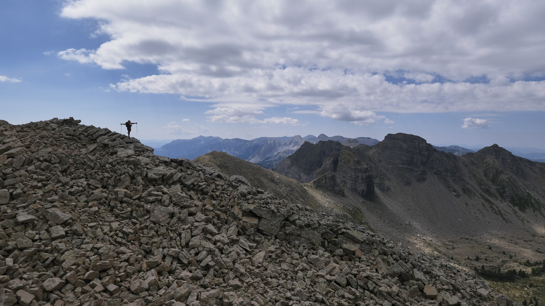
To continue, return to the Pas du Lausson and follow an unmarked path still heading south. You climb along the cliffs overlooking Lac d'Allos to reach the summit ridge, which curves to the east. The final climb is over a scree of large boulders to reach a summit in the shape of a large, wide platform.
Part 3: Montagne de l'Avalanche to Col de la Cayolle (1h30 to 2h)
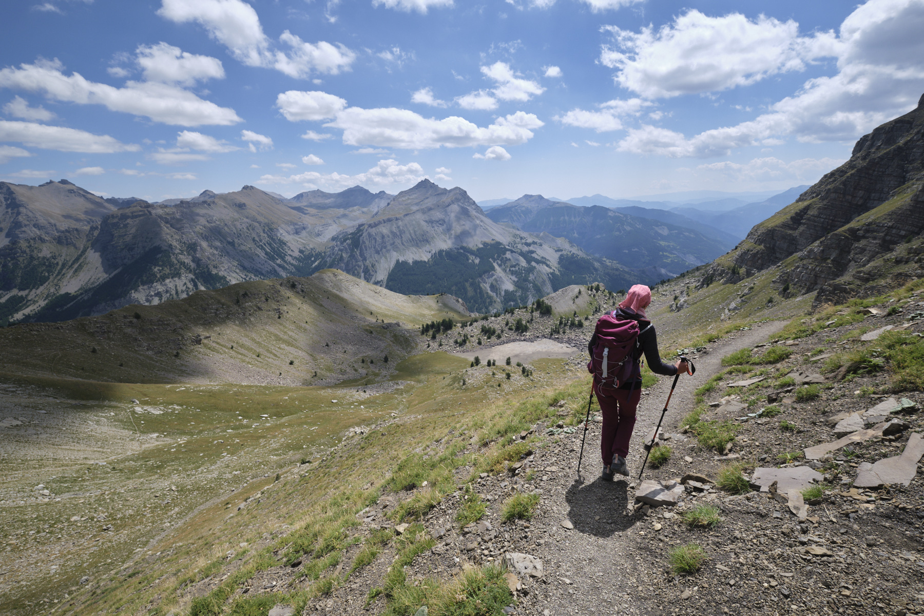
From the summit of Montagne de l'Avalanche, return to Pas du Lausson and switch to the east. The path crosses a ridge and then crosses the cirque below the summit of Lausson. We cross a second ridge and then follow a long traverse before climbing slightly back to the Col de la Cayolle.
Monte Rotondo, Melo and Capitello, Corte 5 August 2017 From the Restonica Valley, climb Corsica's second highest peak, Monte Rotondo at 2622m, and return via the…


 Partager sur WhatsApp
 Partager sur Twitter
Partager sur Instagram
Partager sur Twitter
Partager sur Instagram

 Partager sur Facebook
 Imprimer le topo
 Laisser un commentaire


![2017-08-05_13-35-40 [Monte Rotondo]](https://climbing7.com/wp-content/uploads/2017/09/2017-08-05_13-35-40-monte-rotondo-1024x683.jpg "Monte Rotondo, Melo and Capitello, Corte")
Leave a Reply