Starting from Madone de Fenestre, in the heart of the Mercantour and the Vésubie valley, this hike traverses long, airy ridges to end at the 5 lakes of Prals, overlooked by the Cime du Gelas, which dominates the valley. The loop follows a less-frequented itinerary than the classic route to the Prals lakes. The panoramas are spectacular in this corner of the Mercantour, just a stone's throw from the Vallée des Merveilles and the Italian border. Although the altitude difference remains reasonable, the distance to cover on the crests is long, and the succession of ascents can be felt in the legs at the end of the day, particularly when it's time to descend the Ponset valley back to the starting point.
❱❱ Technical summary
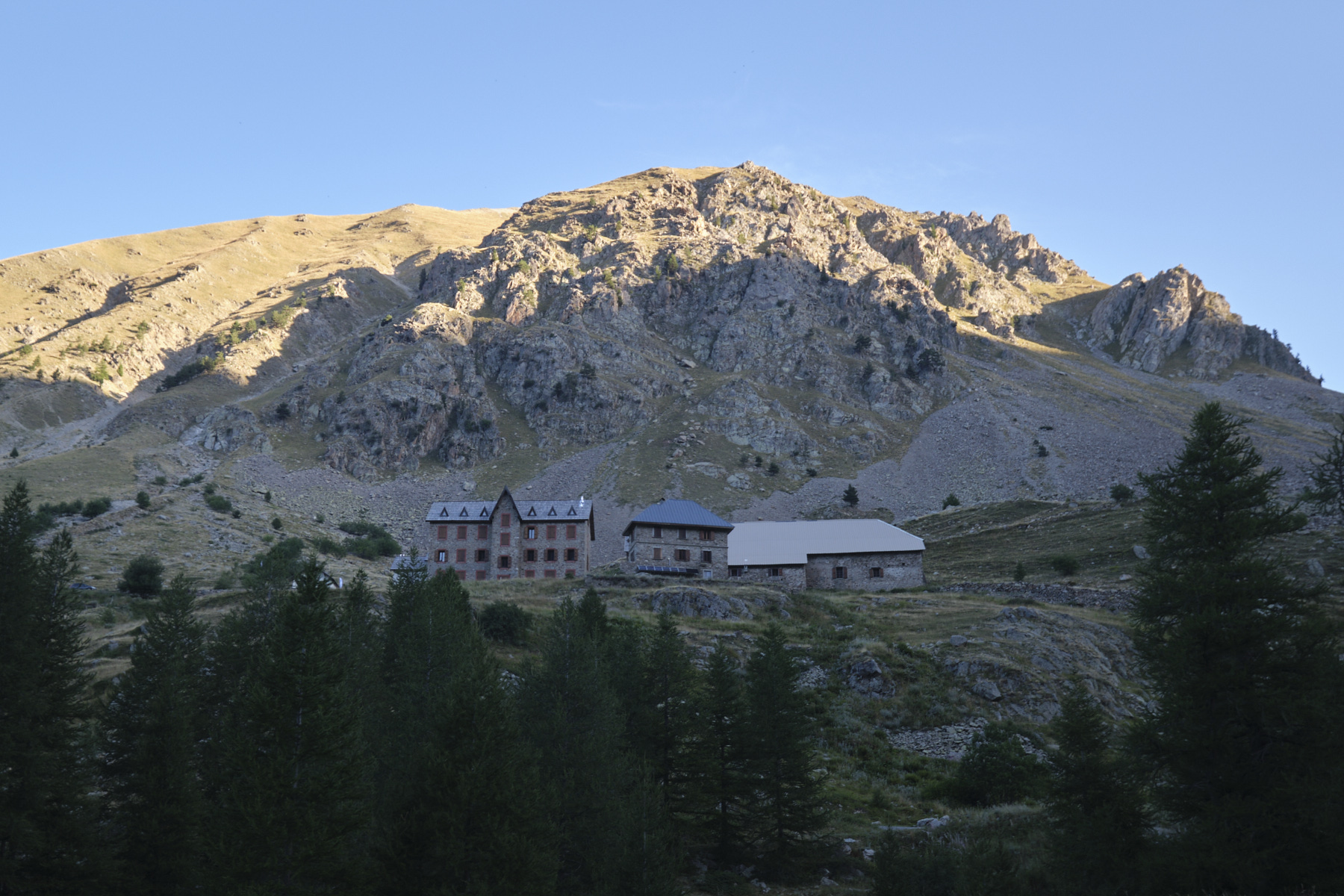
■ Departure point: Madone de Fenestre refuge, Mercantour National Park, Alpes-de-Haute-Provence (06)
■ Type of route: high-mountain loop hike, ridge route
■ Distance: 12.5 km
■ Cumulative elevation gain: +930 m
■ Cumulative negative altitude gain: -930 m
■ Estimated total time: 4h to 5h30 ■ Min and max altitude: m / 2496 m
■ S igns: yellow PR except on ridges where the trail is visible and obvious
■ Equipment in place: none
■ Equipment required: none
Difficulties: no real technical difficulties, apart from a few short, steep paths.
❱❱ Access to the place
From Saint-Martin-de-Vésubie, take the Madone de Fenestre road. This road was rebuilt following the monstrous damage caused by storm Alex in 2020, and access is now possible again without any problems. Before going up to the refuge, park in the parking lot on the track leading to the Vacherie de la Madonne.
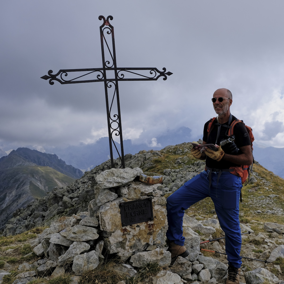
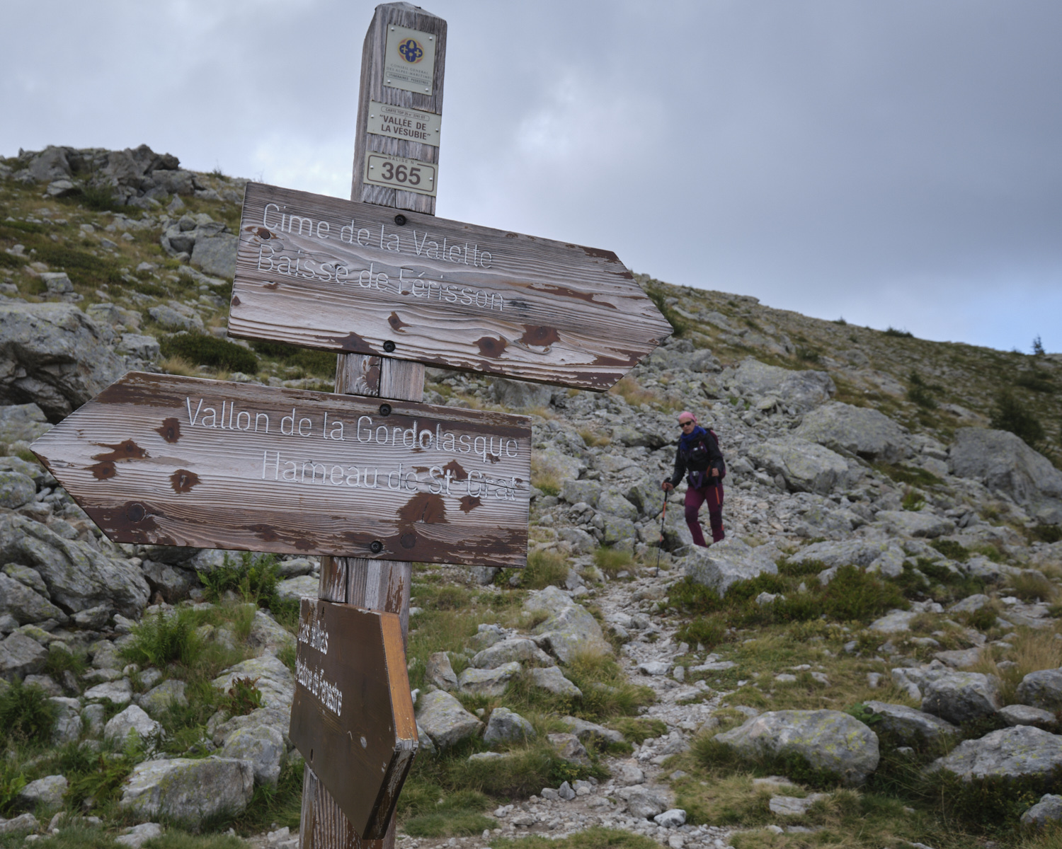
From the parking lot, return to the road and walk down until you find the start of the path to the Prals valley and the Baisse de Férisson. Follow the path as it rises slowly through the forest until it crosses the first torrent on a small wooden bridge. Here, the path forks into the Prals valley. Turn right and climb towards Baisse de Férisson. The path continues to climb through the forest, gradually becoming steeper. The slope is a little steeper, and the path heads towards the Baisse, which can be seen above. The final section is steeper, winding up to the crest at the foot of Mont Lapassé. There's a large cross at 2255m.
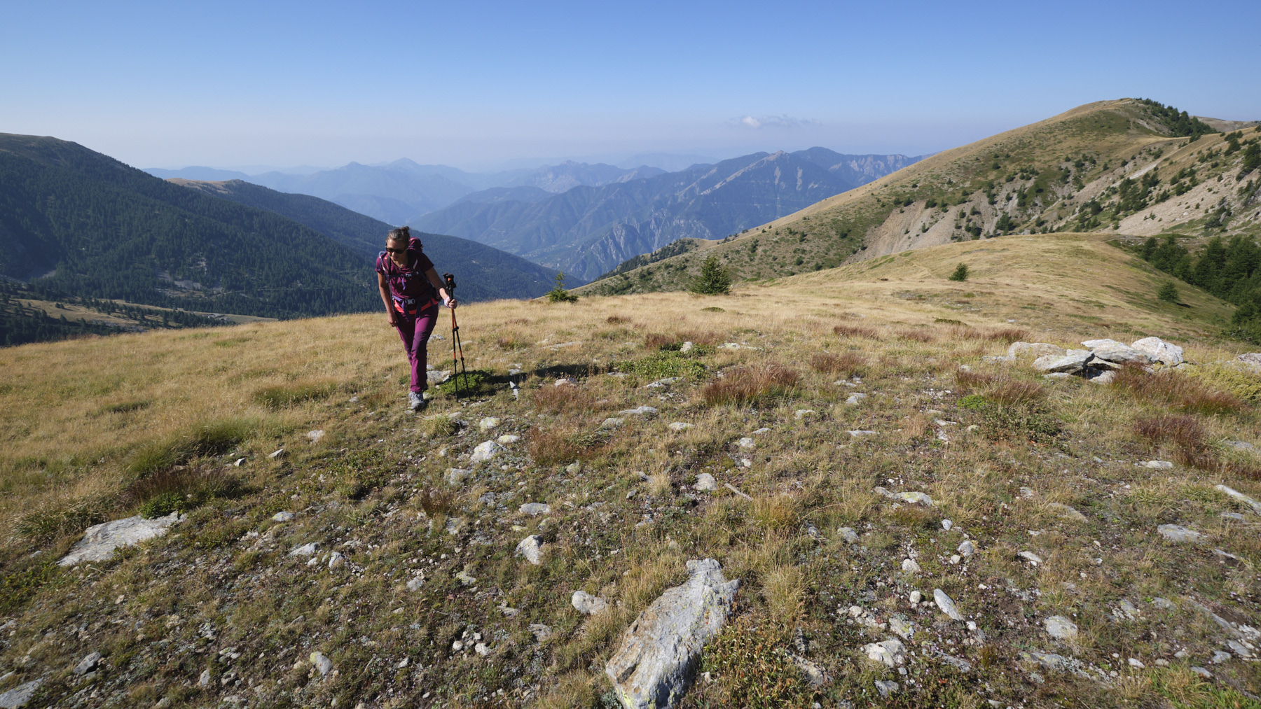
Part 2: Cime de la Valette de Prals (1h to 1h30)
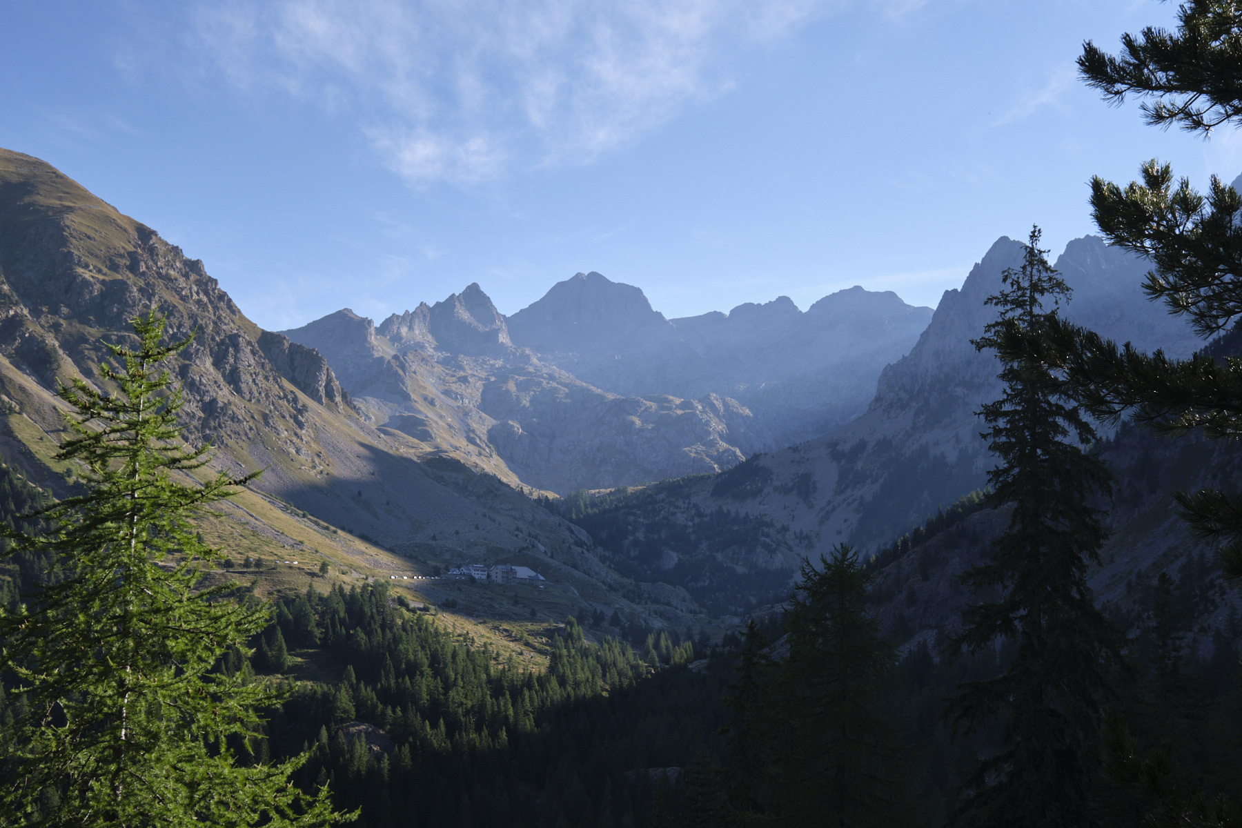
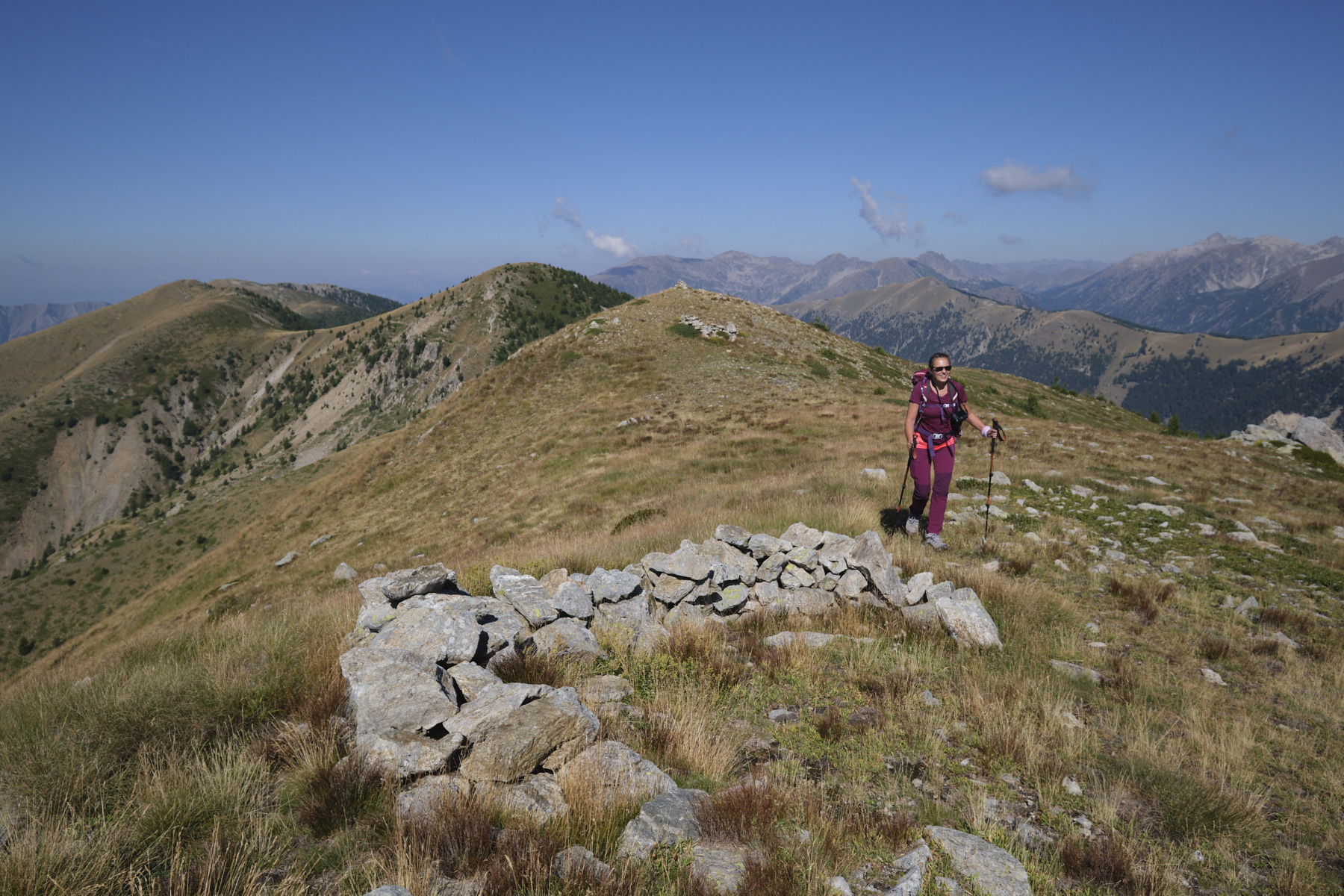
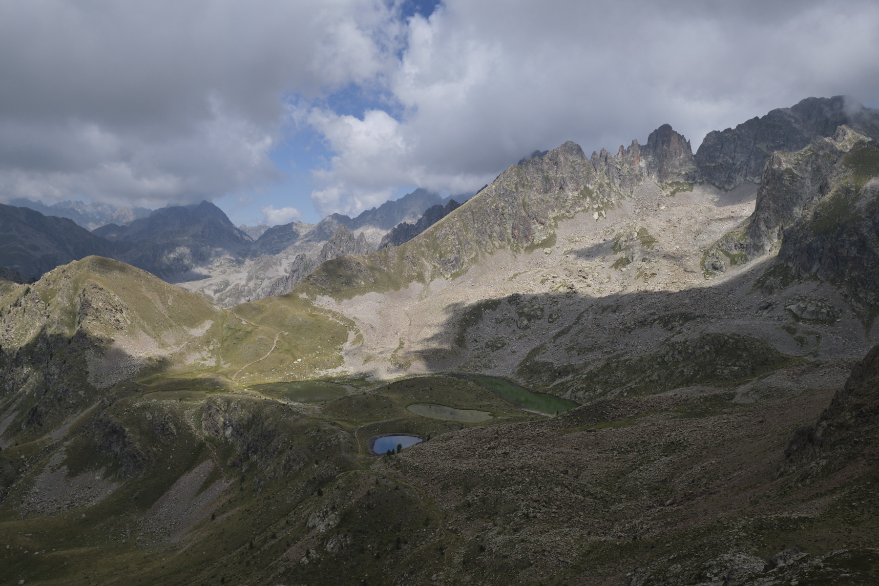
The route follows all the undulating ridges, gradually gaining altitude. We pass a 1st summit with a large cairn, then a second, the Tête de Cinant (2342m). Descend slightly, then go straight on to climb the Tête de la Lave at 2345m. To the northeast, you can see the basin of the 5 Prals lakes.
At this point, the ridges bend to the south, and you can continue along the ridges to climb to Le Pertus, or bypass it on the west-facing path. Descend to a wide pass and finally climb the final ridge, which ends on the Cime de la Valette de Prals at 2496m. Along the way, you can see the whole ridge heading downhill towards the lakes.
Part 3: Lacs de Prals (45' to 1h)
From the summit, descend to the ridges that run northeast towards the lakes. After the first pass, continue along the left-hand side of the ridge until you reach the fork in the road (signpost): left down towards the lakes, or straight ahead towards the Gordolasque valley.
There are 2 options: either follow the Gordolasque direction and when the path swings to the right, follow the path and climb the Cime de Prals (2453m) for a panoramic view of the 5 lakes at a glance. In this case, you can reach the lakes without too much difficulty by heading north down the stony slope. Or descend 7 hairpin bends and follow a path under the Cime de Prals to reach the basin of the lakes by ascending very slightly.
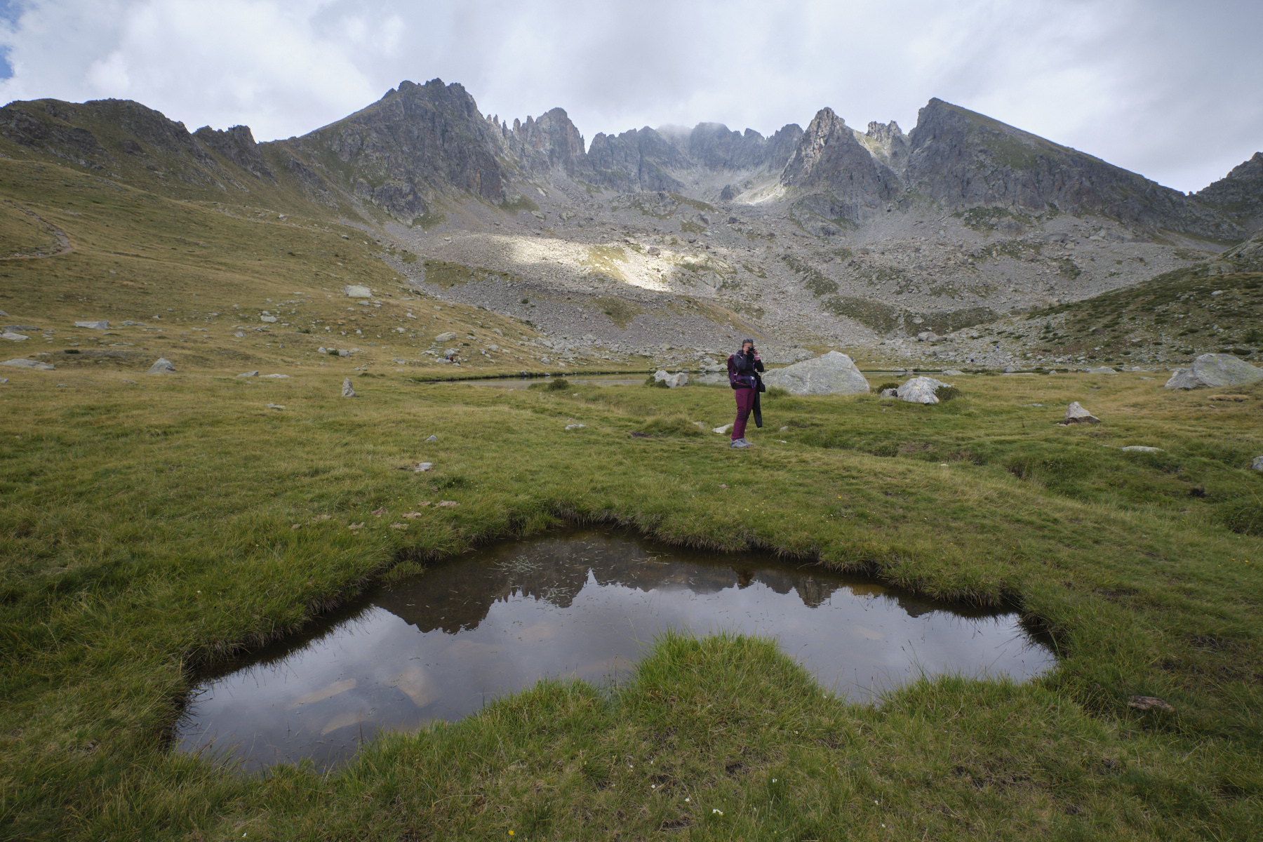
To get another view of the 5 lakes, you can climb a promontory below the Pas du Néglier and just above the longest lake (see photo).
4th part: return to the Madonne de Fenestre refuge (1h to 1h30)
From the lakes, climb up to pass the Baisse des 5 lacs, with its superb view of the Cime du Gelas cirque, and begin a gradual descent into the valley. Further on, the path begins a steeper, winding descent up a torrent and into the Poncet valley. At the bottom, turn off in the direction of the refuge and, at the Vacherie de la Madone, continue on the track back to the starting parking lot.
Monte Rotondo, Melo and Capitello, Corte 5 August 2017 From the Restonica Valley, climb Corsica's second highest peak, Monte Rotondo at 2622m, and return via the…


 Partager sur WhatsApp
 Partager sur Twitter
Partager sur Instagram
Partager sur Twitter
Partager sur Instagram

 Partager sur Facebook
 Imprimer le topo
 Laisser un commentaire


![2017-08-05_13-35-40 [Monte Rotondo]](https://climbing7.com/wp-content/uploads/2017/09/2017-08-05_13-35-40-monte-rotondo-1024x683.jpg "Monte Rotondo, Melo and Capitello, Corte")
Leave a Reply