


TOPO Snowshoeing | CLIMBING7.COM
Publié le
 Partager sur WhatsApp
 Partager sur Twitter
Partager sur Instagram
Partager sur Twitter
Partager sur Instagram

 Partager sur Facebook
 Imprimer le topo
 Laisser un commentaire

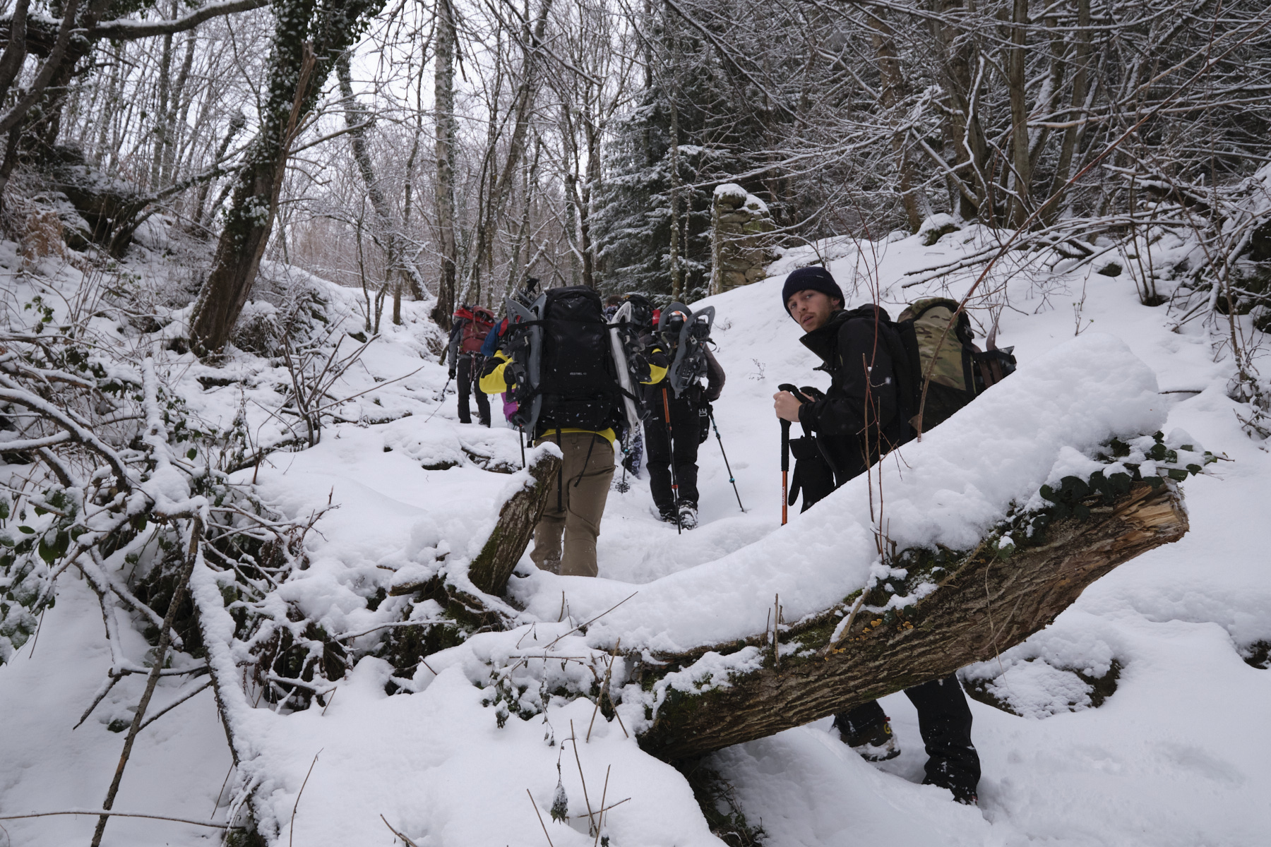
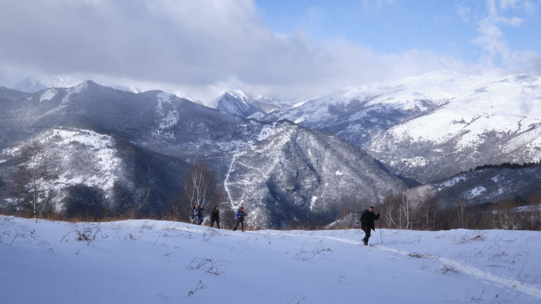
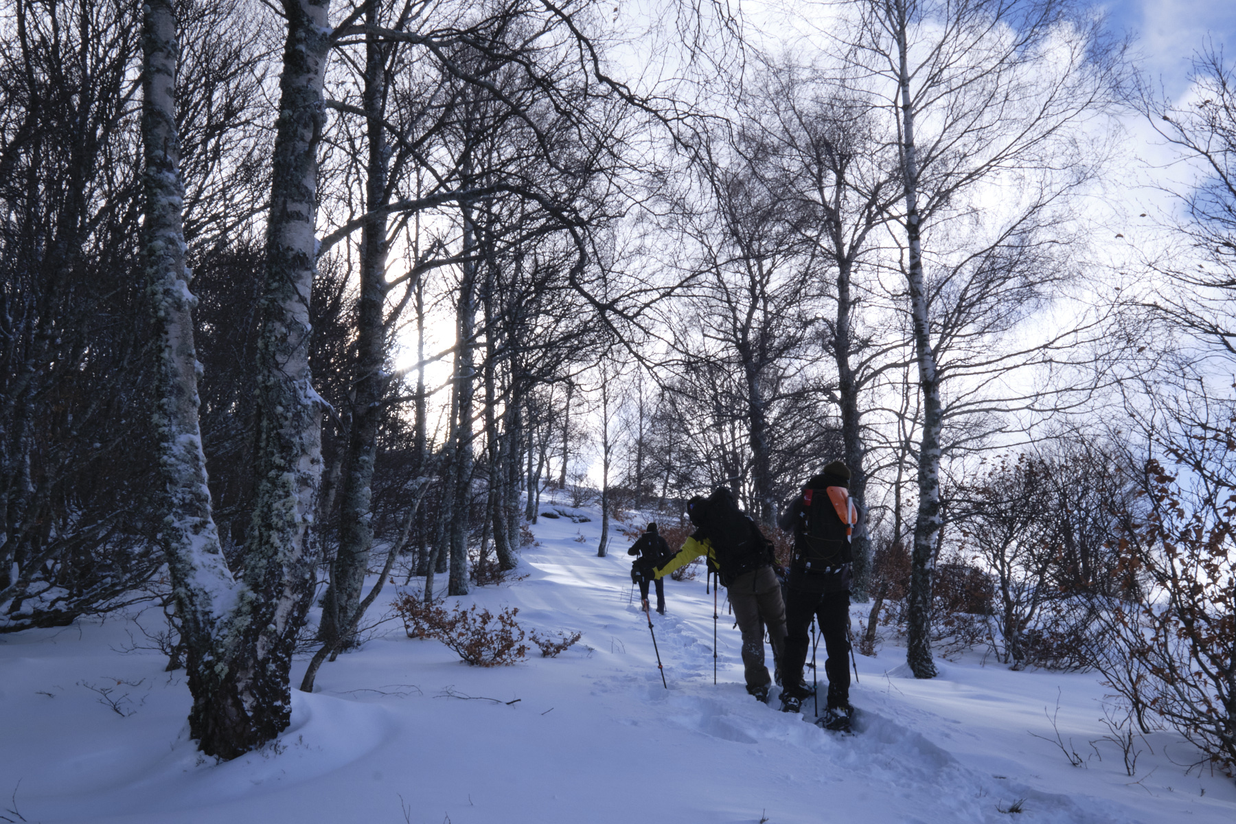
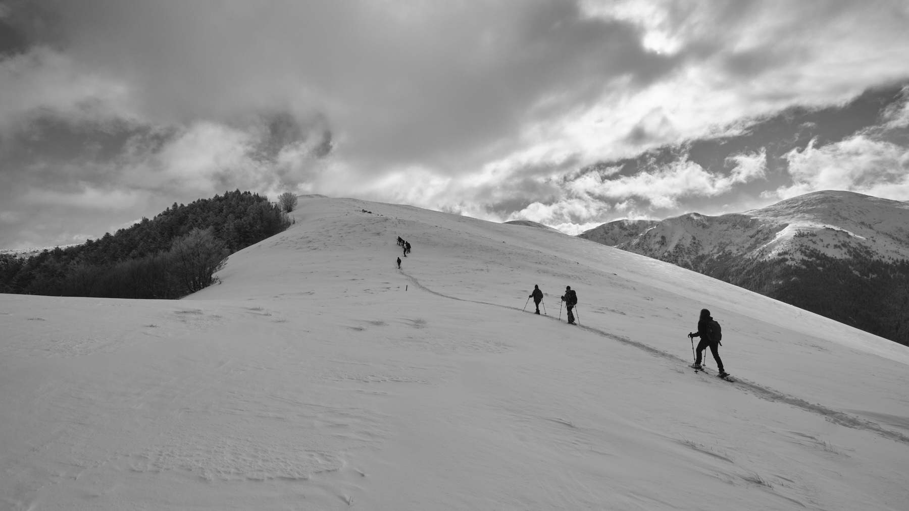
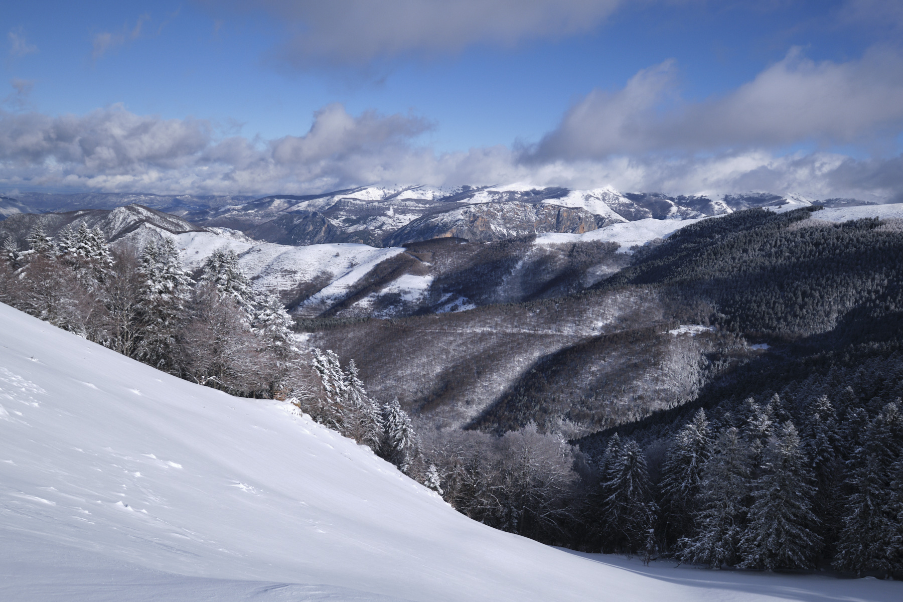
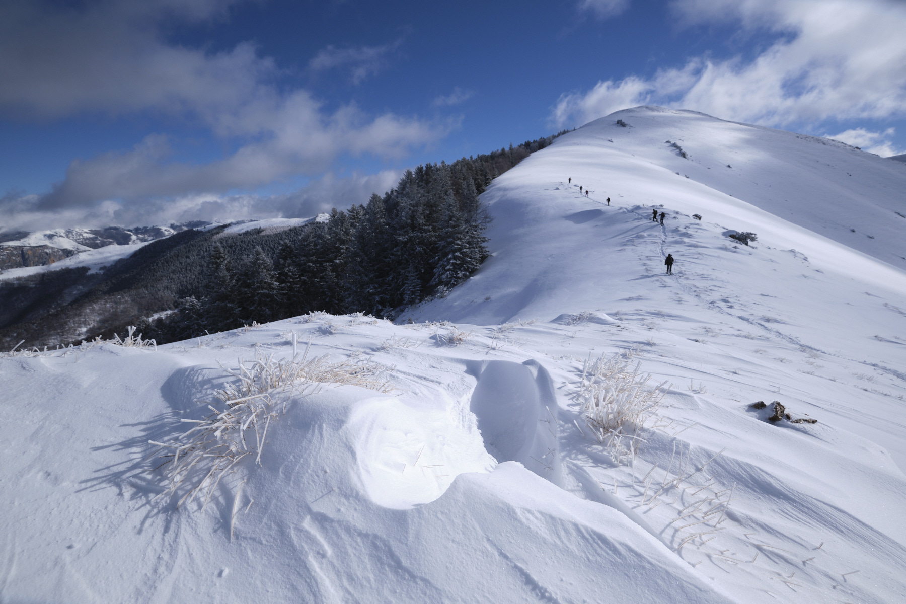
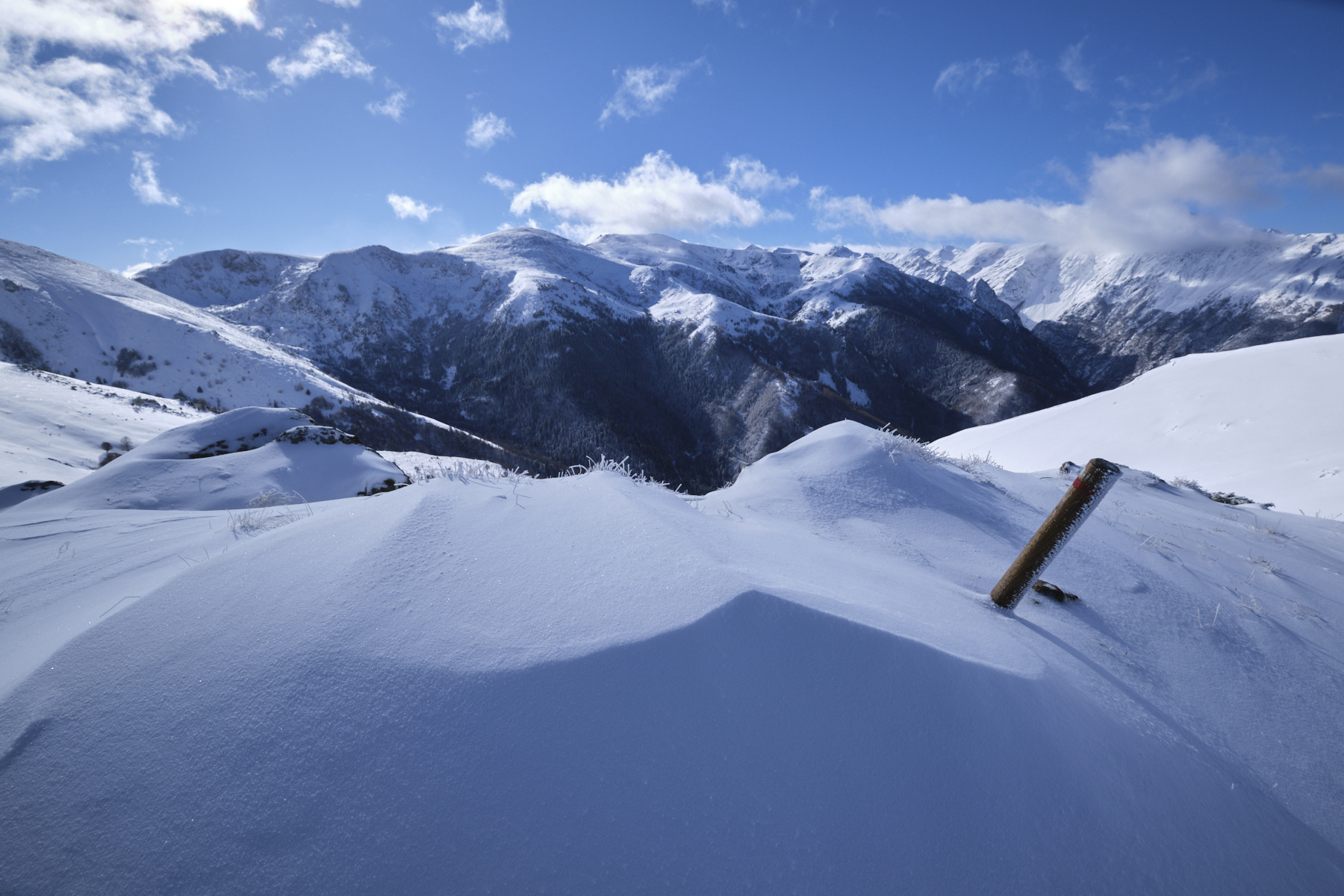
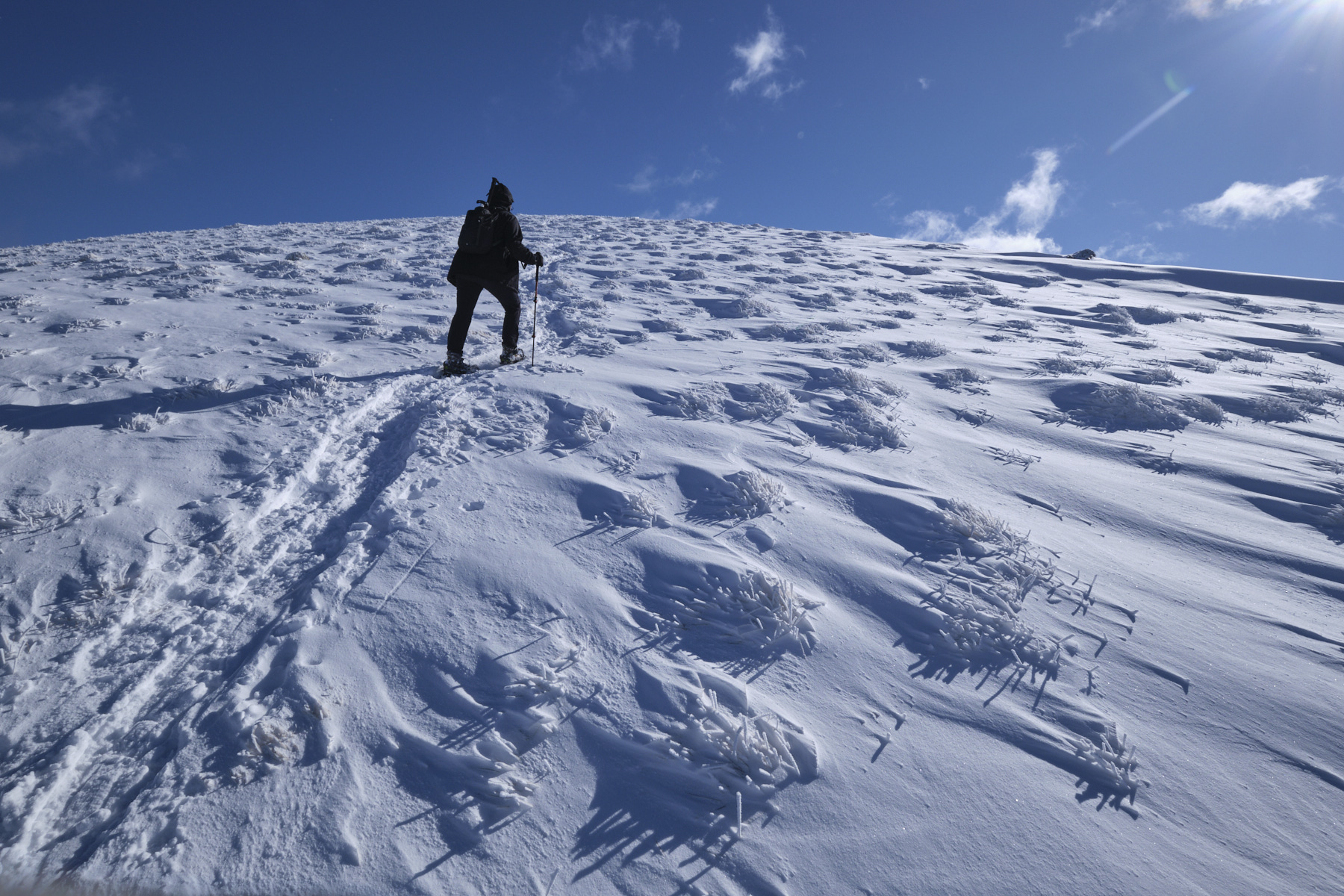
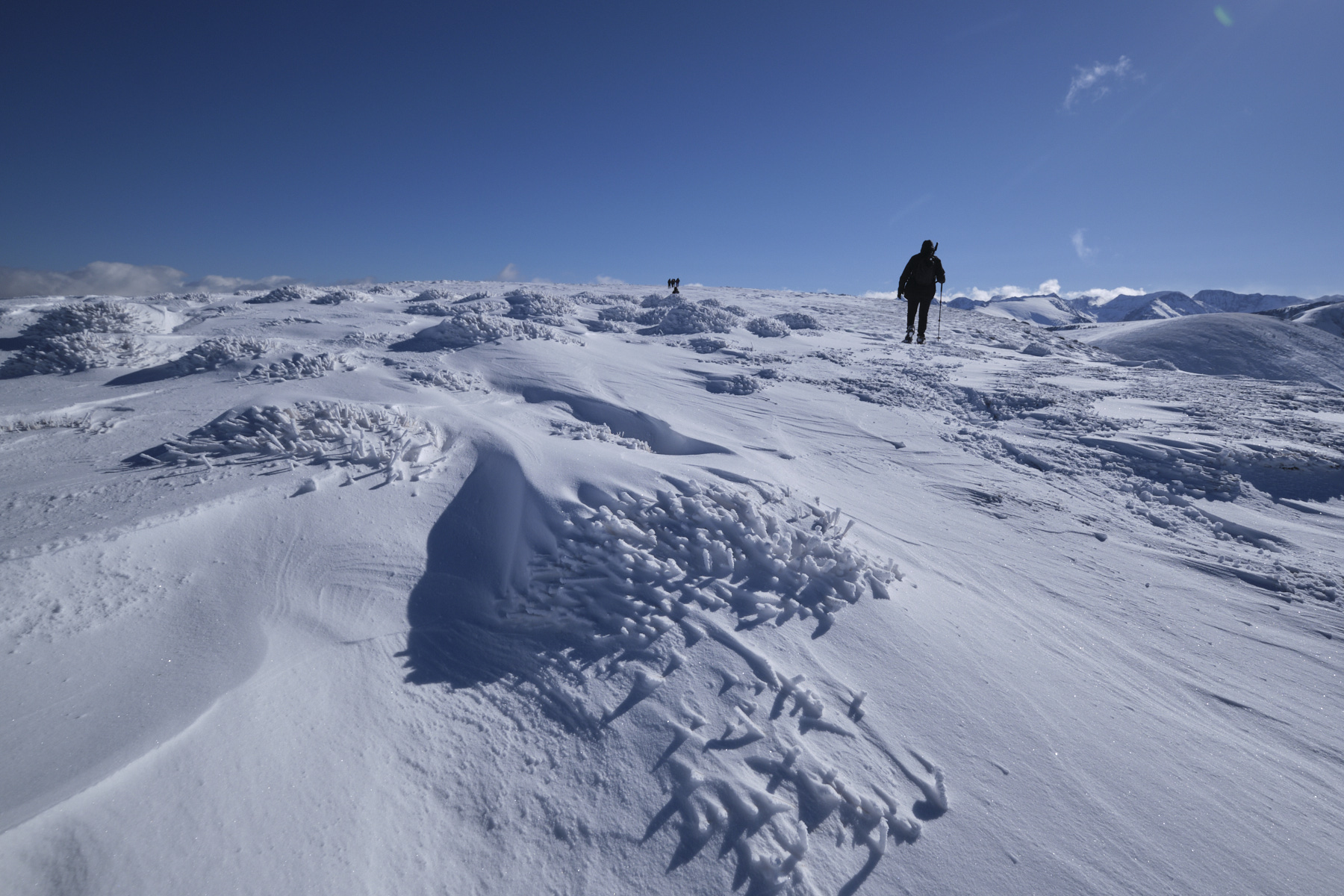
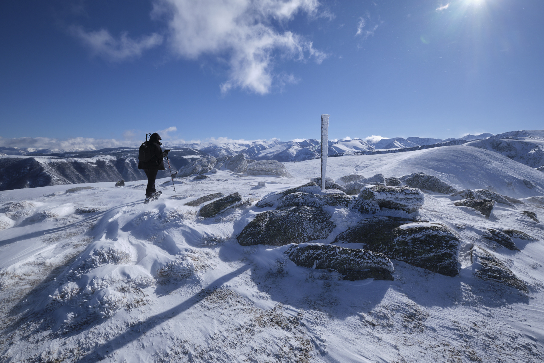
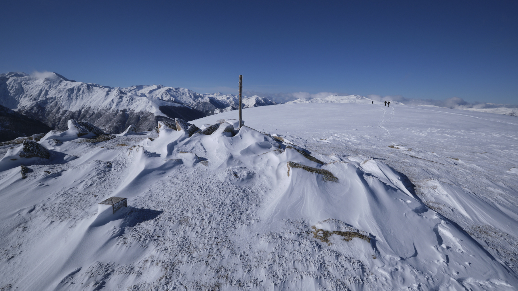
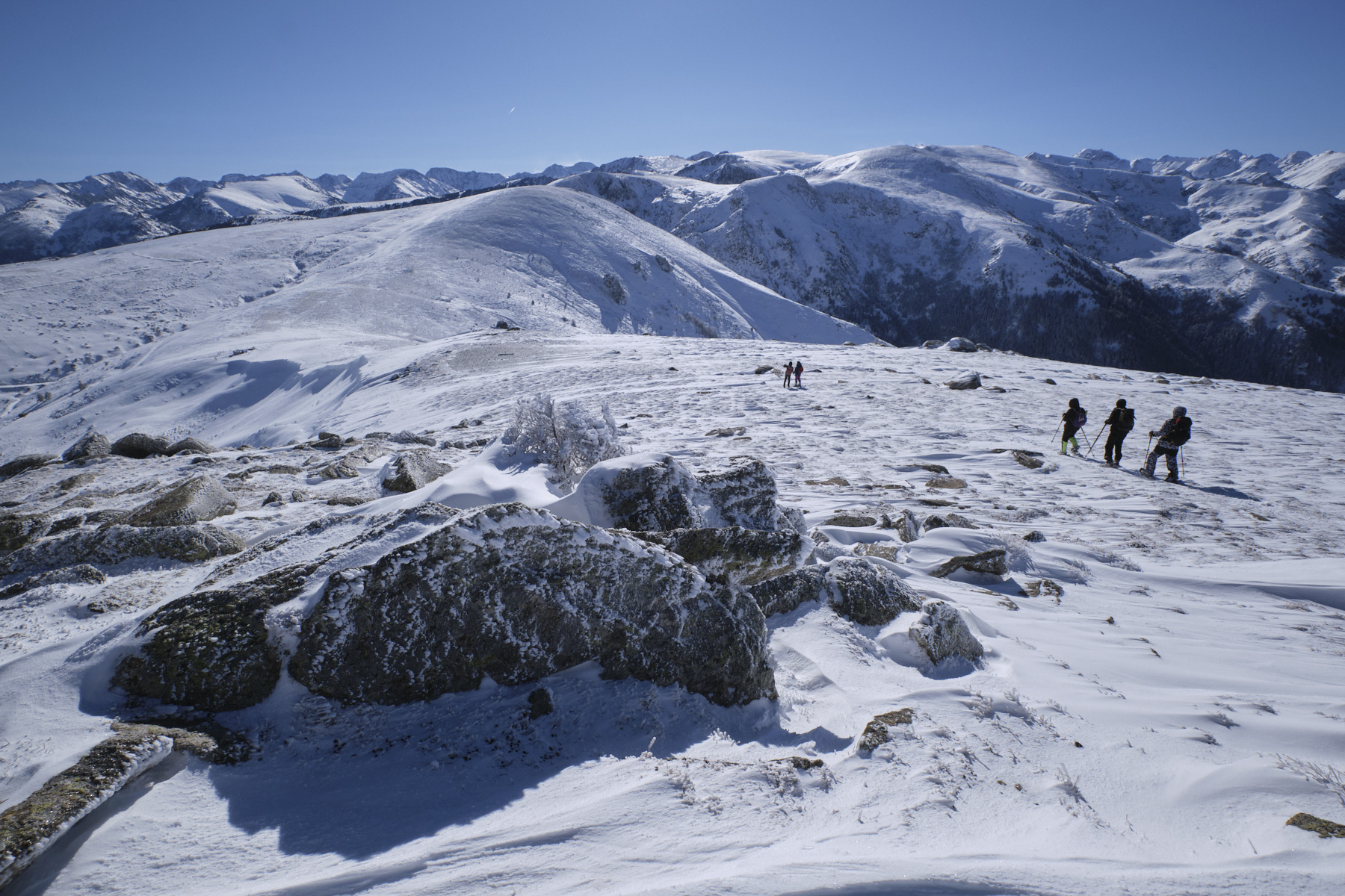
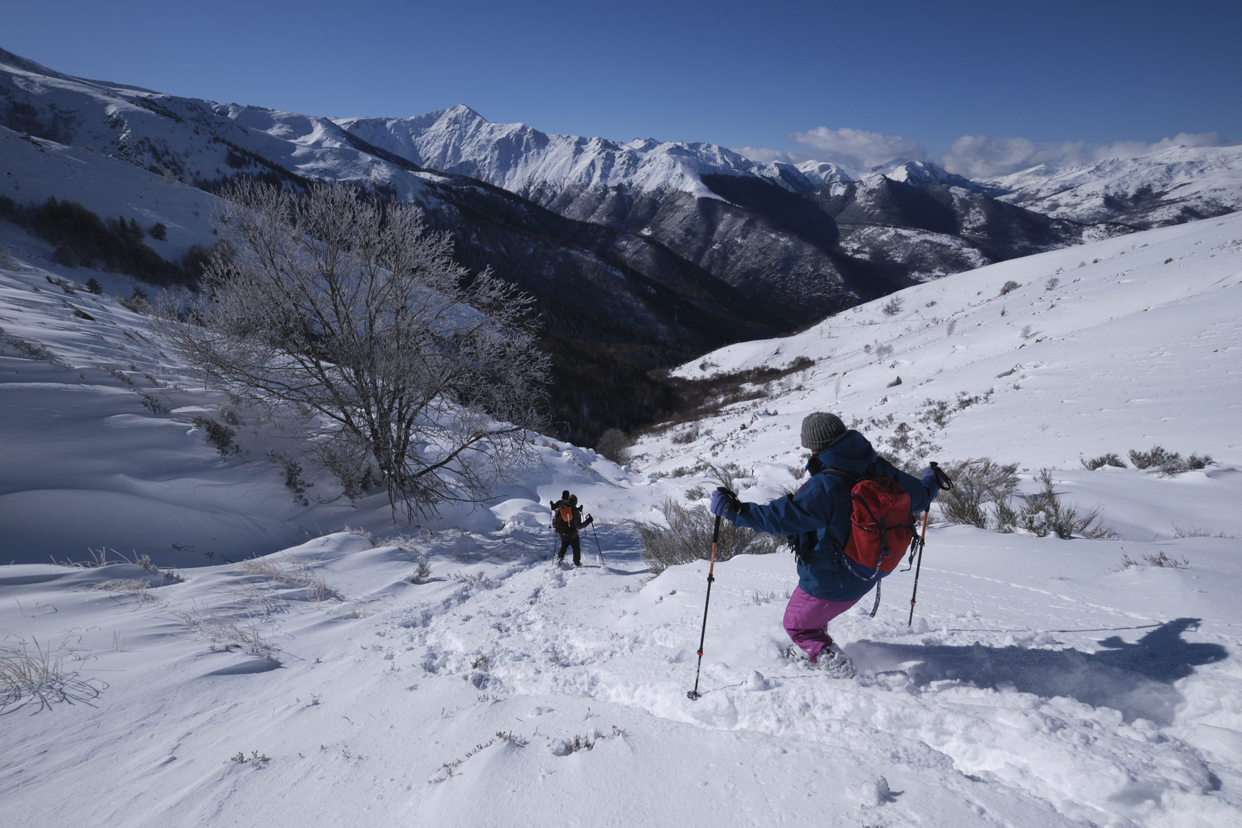
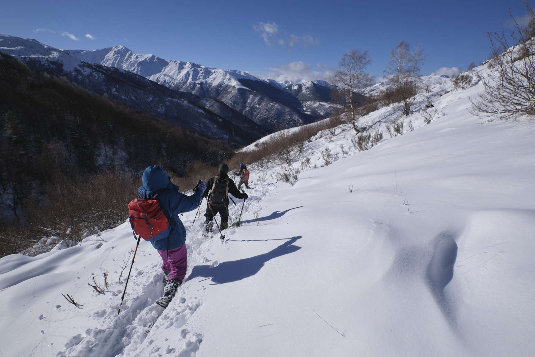
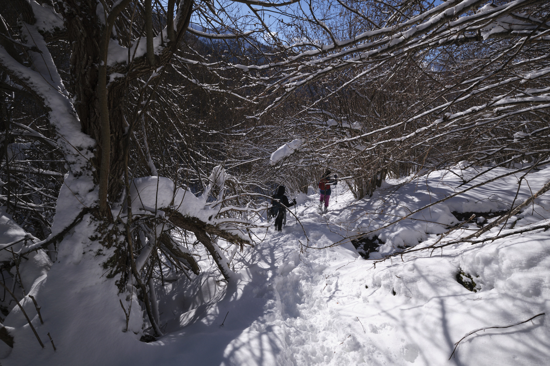
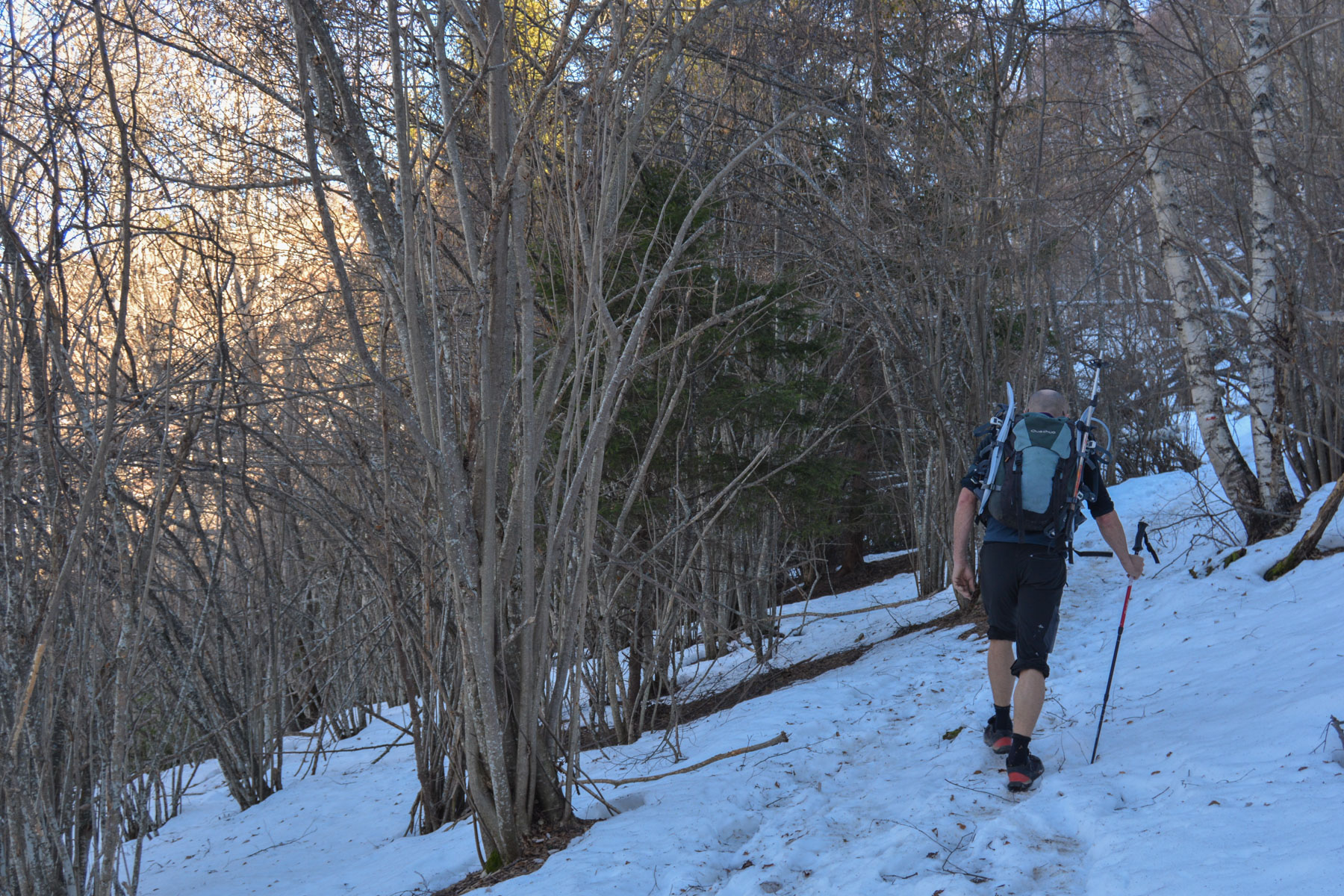
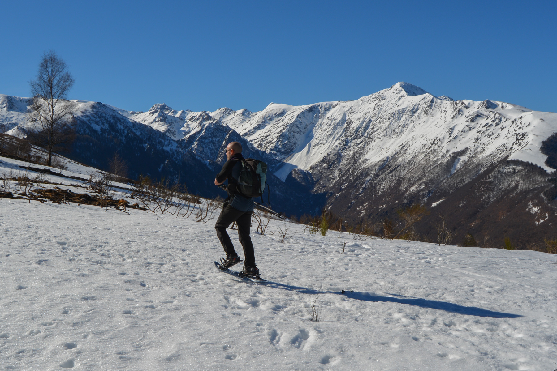
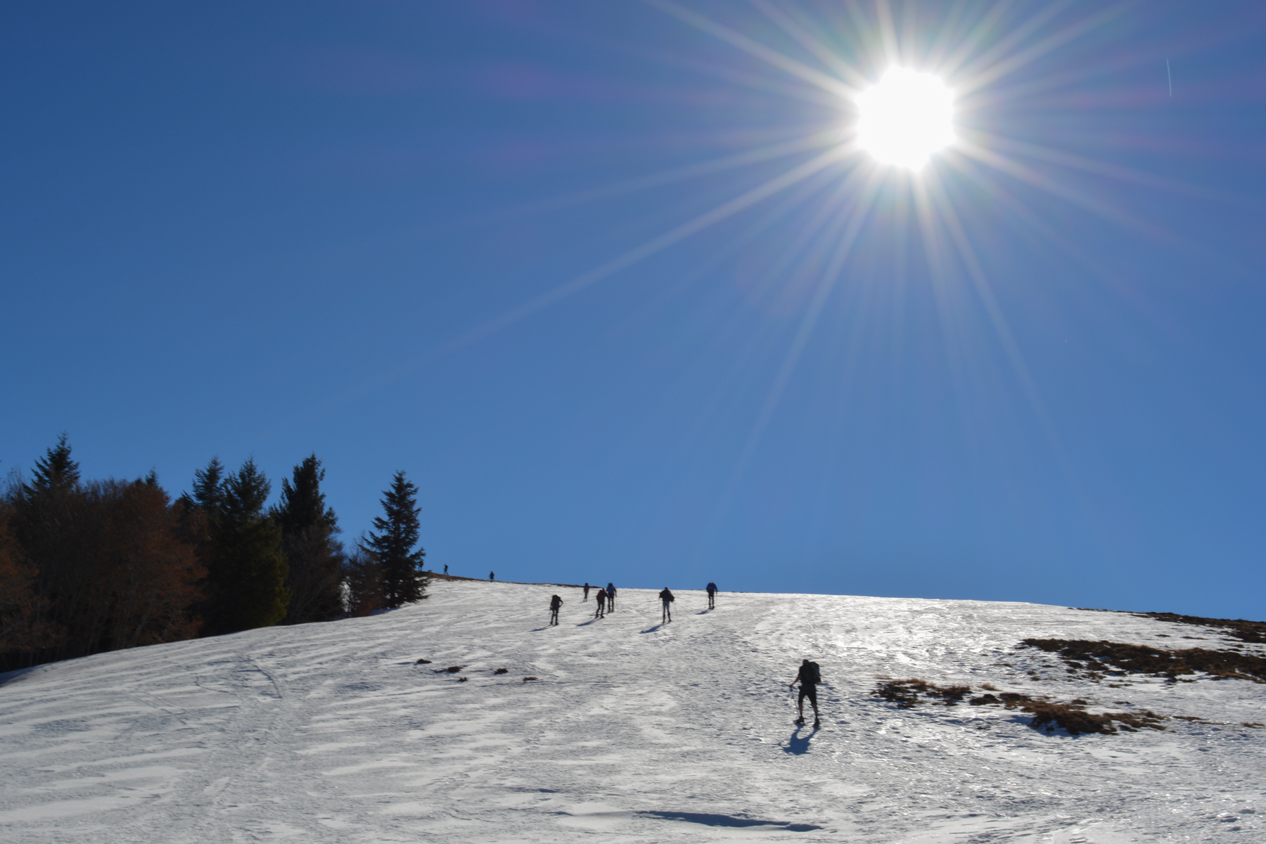
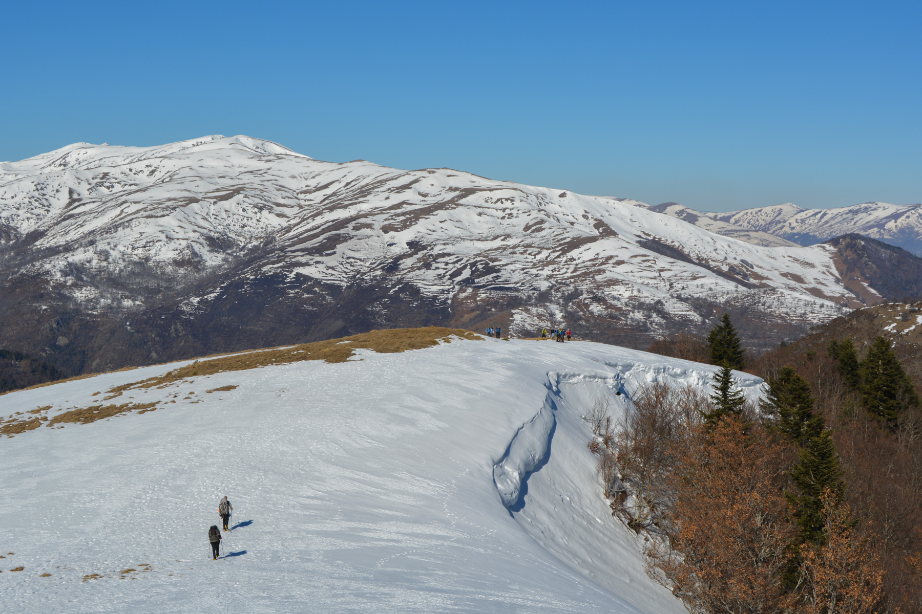
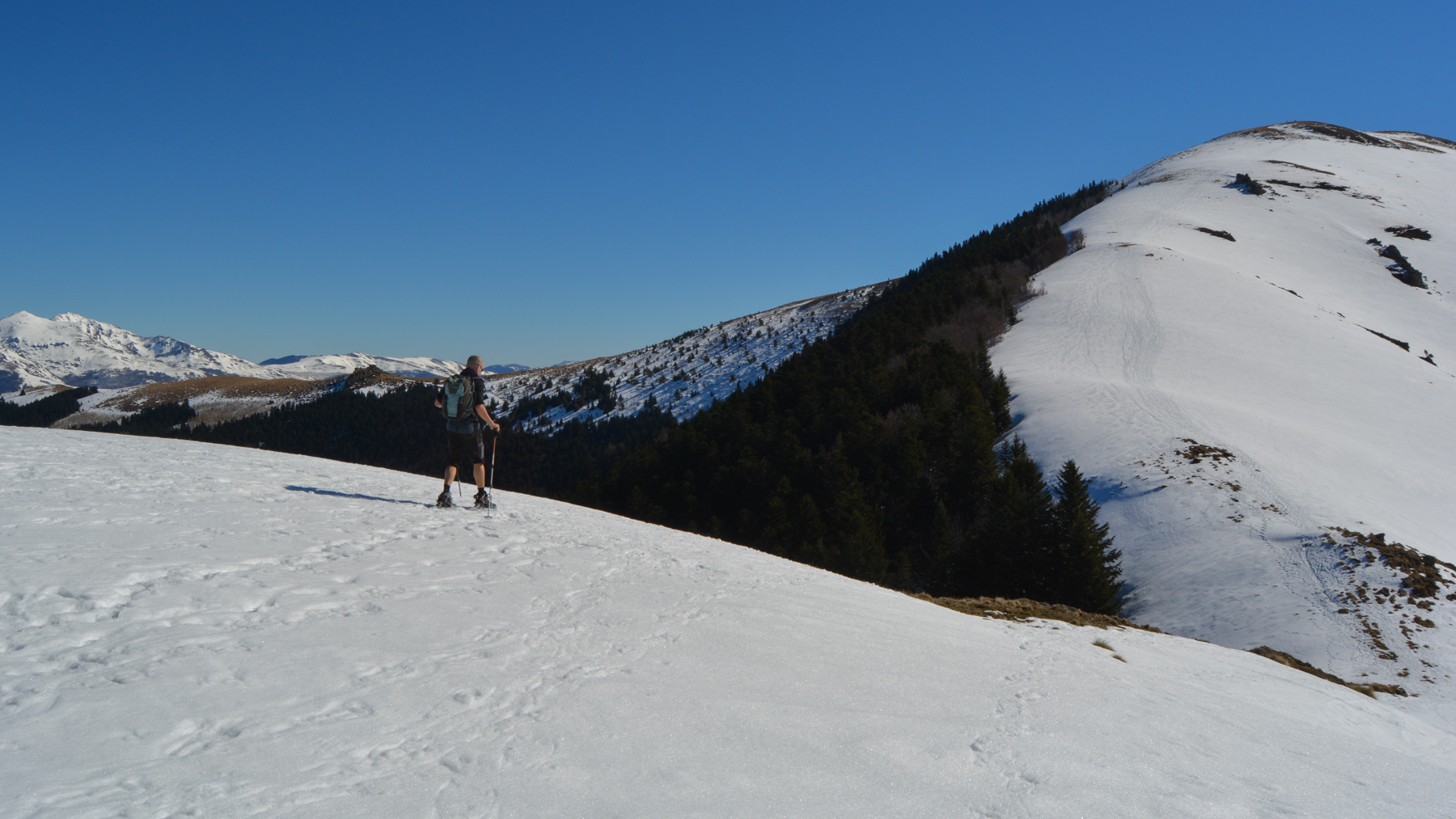
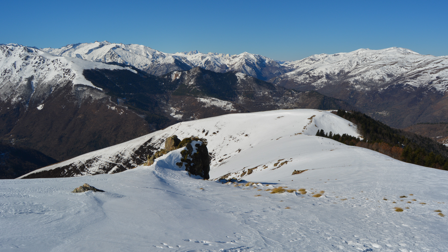
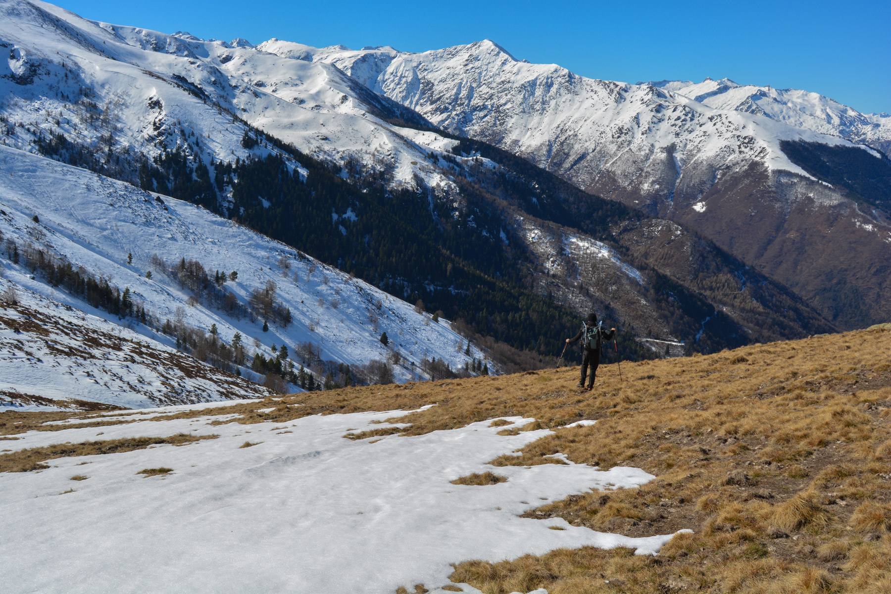
The long ascent of the Lène ridge to the Pla de Montcamp is one of the great classics of snowshoeing in Ariège. And rightly so, as the panorama is spectacular. The loop starts from the hameua de Gestiès on the GR10 before gradually ascending the long, rounded spine that leads to the promontory at just over 1900m, above the Col du Sasc. The return via the valley of the Boulimborde brook on the west side, with no real path, is a tricky option where you have to improvise to reach the return track. A return loop via the Rocher de Miglos and the Lhesse ridge to the east is another, longer but perhaps less tricky option.
❱❱ Technical summary
► Itinerary : Snowshoe hike. 950m ascent, 11.4 kilometers distance. Maximum altitude 1905m at the summit of Pla de Montcamp.
► Geographical situation : Departure from the hamlet of Gestiès, in the Vicdessos valley, Ariège (09).
► Technical difficulties : The ascent includes short steep sections, but without exceeding 30°. It's the descent into the Boulimborde valley that's the trickiest, as it's off-piste and quite steep, especially if there's a lot of snow (as there was on January 20).
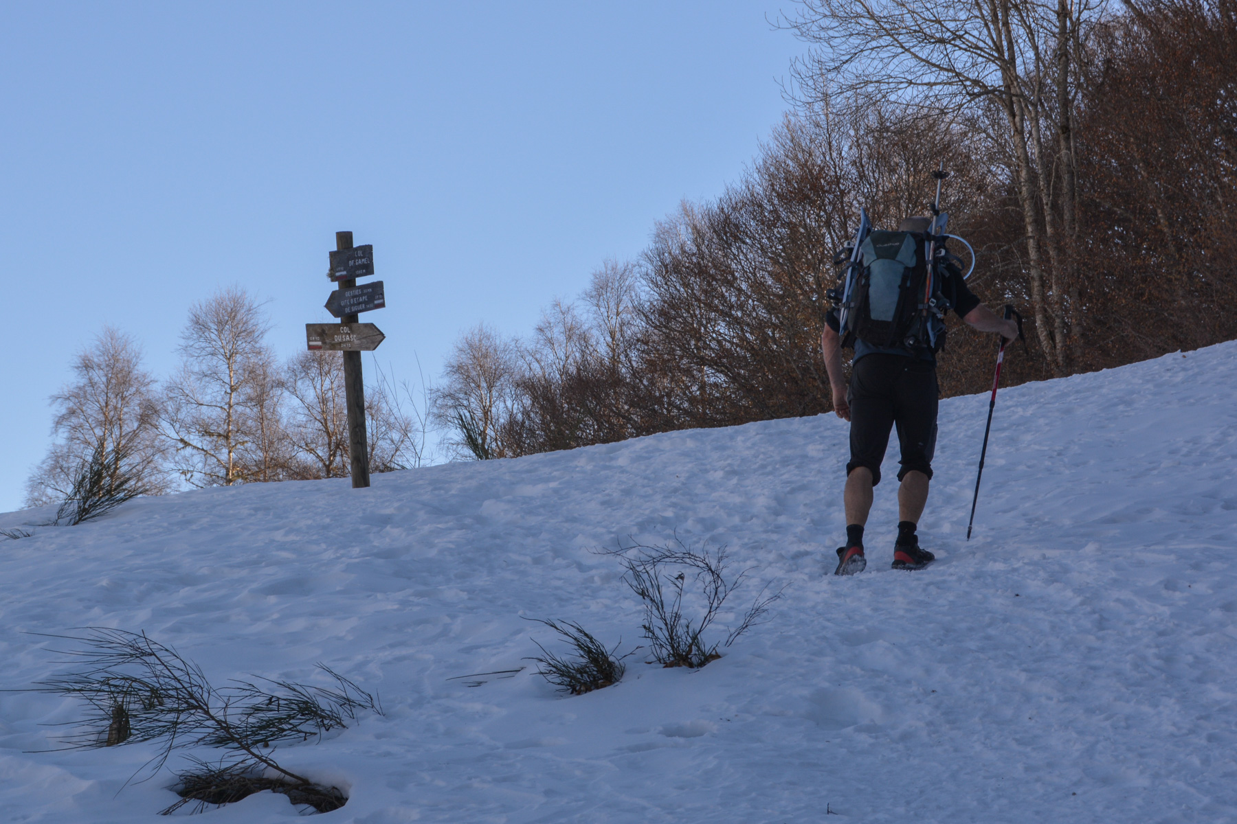
► Orientation : Often south-facing, then west-facing. Follow the GR10 to the summit of Pla de Montcamp and then to the Col du Sasc. The rest of the route is off-trail to the return track.
► Field and environnement : Forest on the way up, then an open ridge exposed to the wind.
► General review : A classic local snowshoe hike, often frequented, offering spectacular panoramic views of the Pyrenees.
❱❱ Access to the place
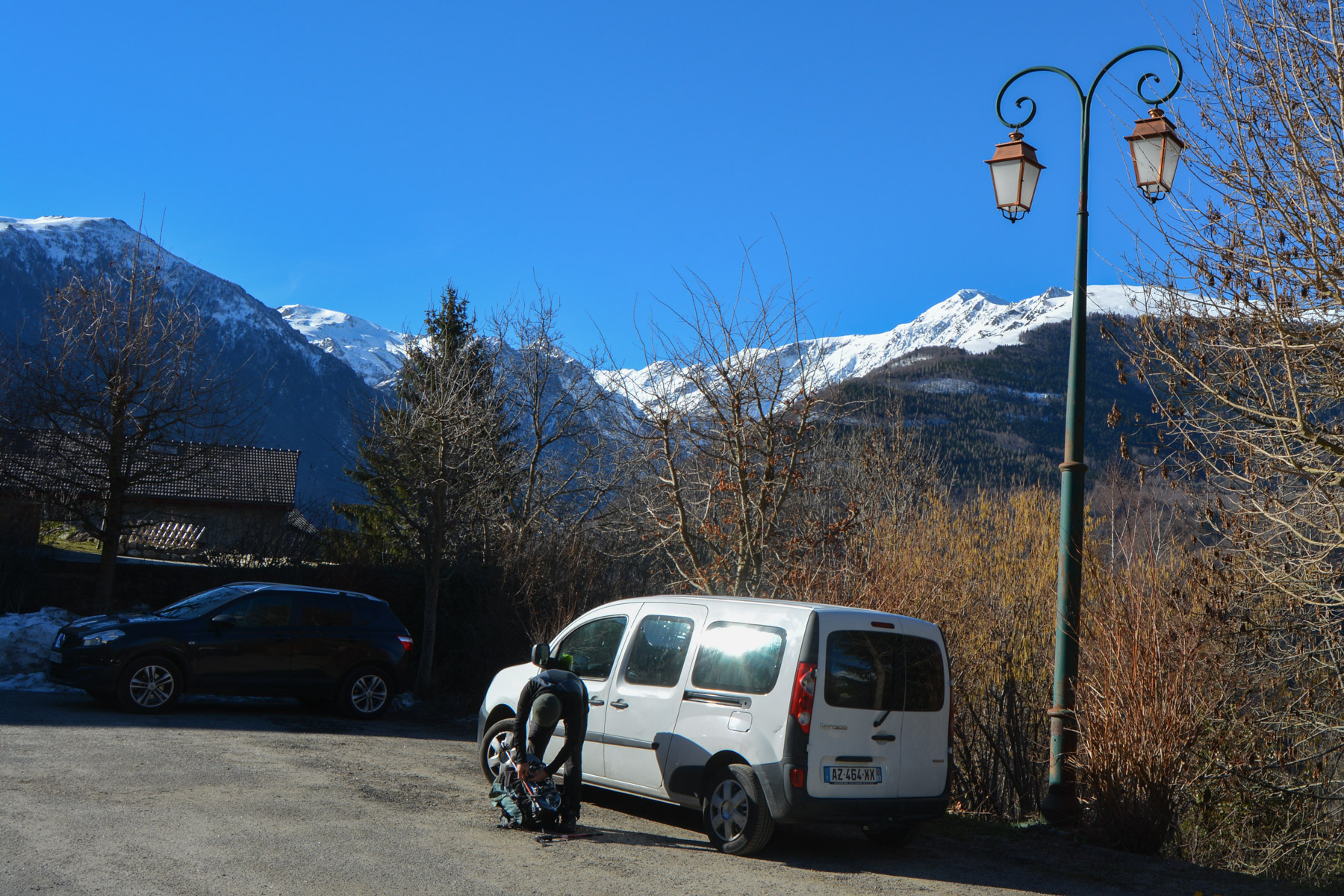
On the N20 at Tarascon-sur-Ariège, turn off towards Vicdessos and then, after Capoulet and Junac, turn left towards Siguer. At the entrance to the village, take the left-hand switchbacks up to the hamlet of Gestiès. Parking is available at the entrance on the right, before the church.
❱❱ Map & topo
The route from the Col de Sasc to the track is indicative, drawn after the event.
Voir en plein écran❱❱ Itinéraire
Go up from the parking lot to the small square above the town hall. The path climbs here, straight up between the walls of the houses. The Col de Gamel is signposted as the GR10.
Follow this wide track, which gradually descends, following the contours of the mountain, to return to the bottom of the village of Gestiès. At the level of a square electricity tower, climb the path directly back to the starting parking lot.
Topo of the same loop on altituderando.com


Leave a Reply