


TOPO Hiking | CLIMBING7.COM
Publié le
 Partager sur WhatsApp
 Partager sur Twitter
Partager sur Instagram
Partager sur Twitter
Partager sur Instagram

 Partager sur Facebook
 Imprimer le topo
 Laisser un commentaire

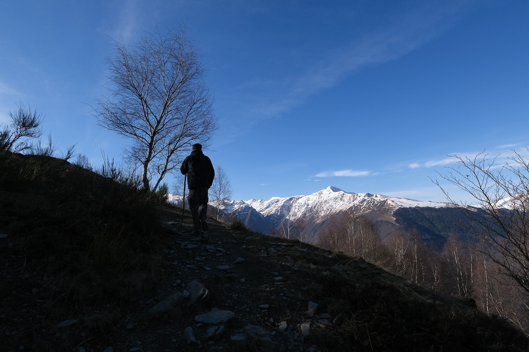
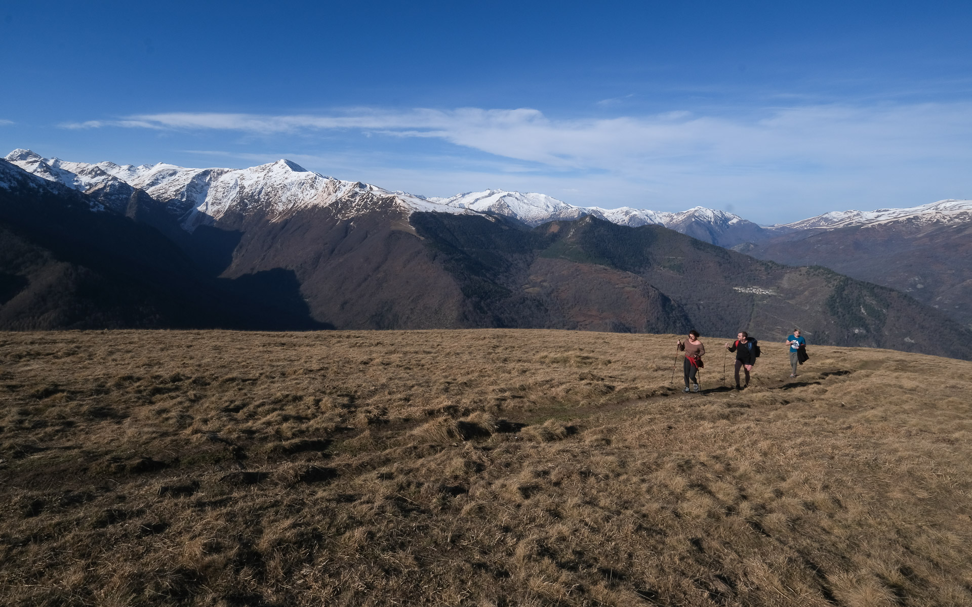
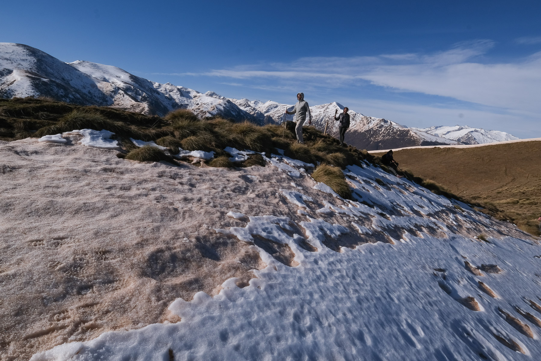
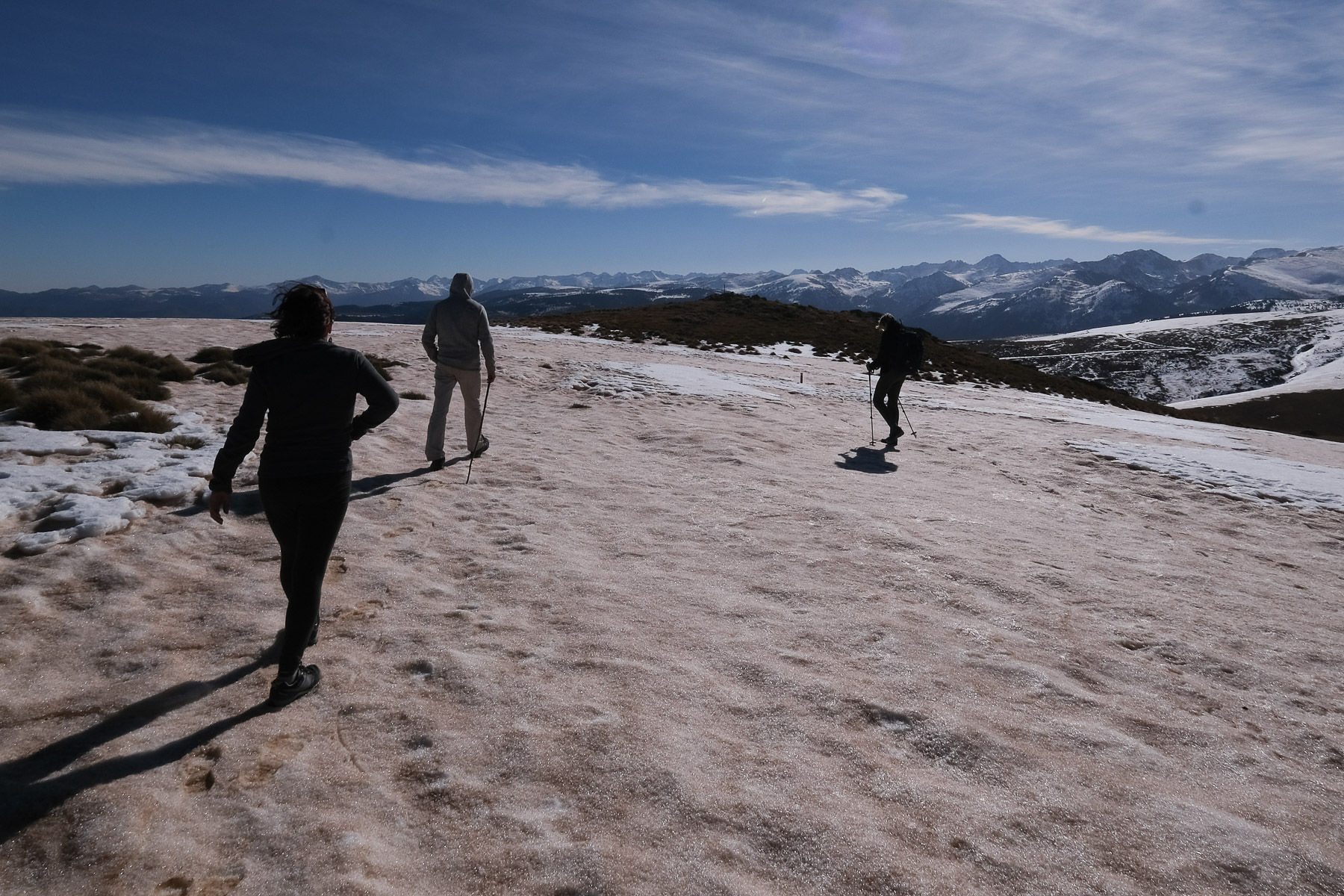
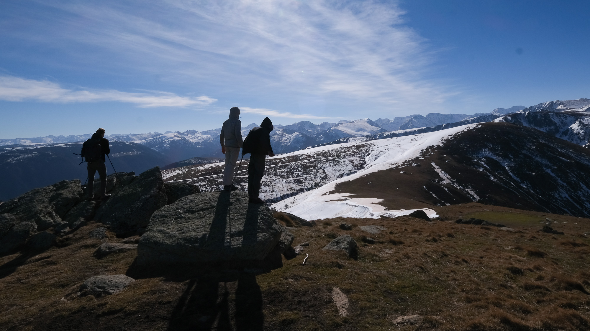
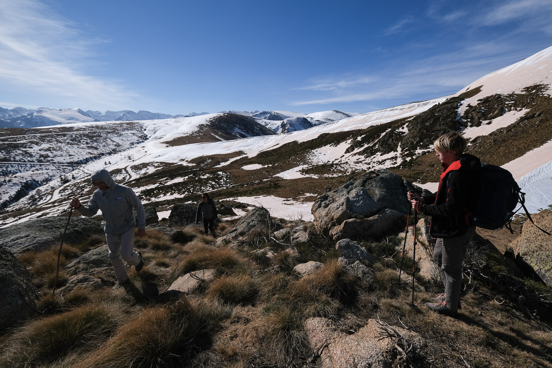
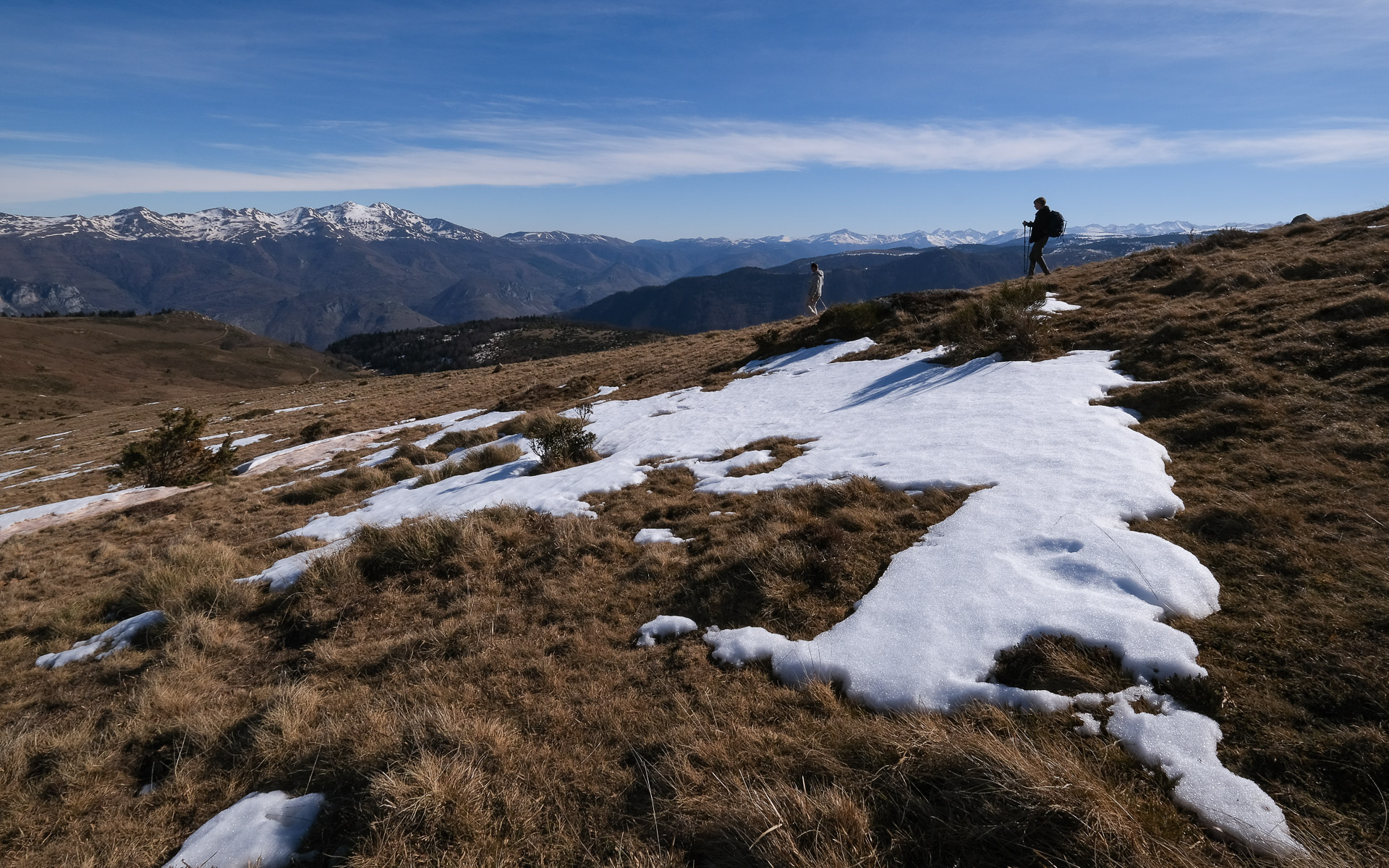
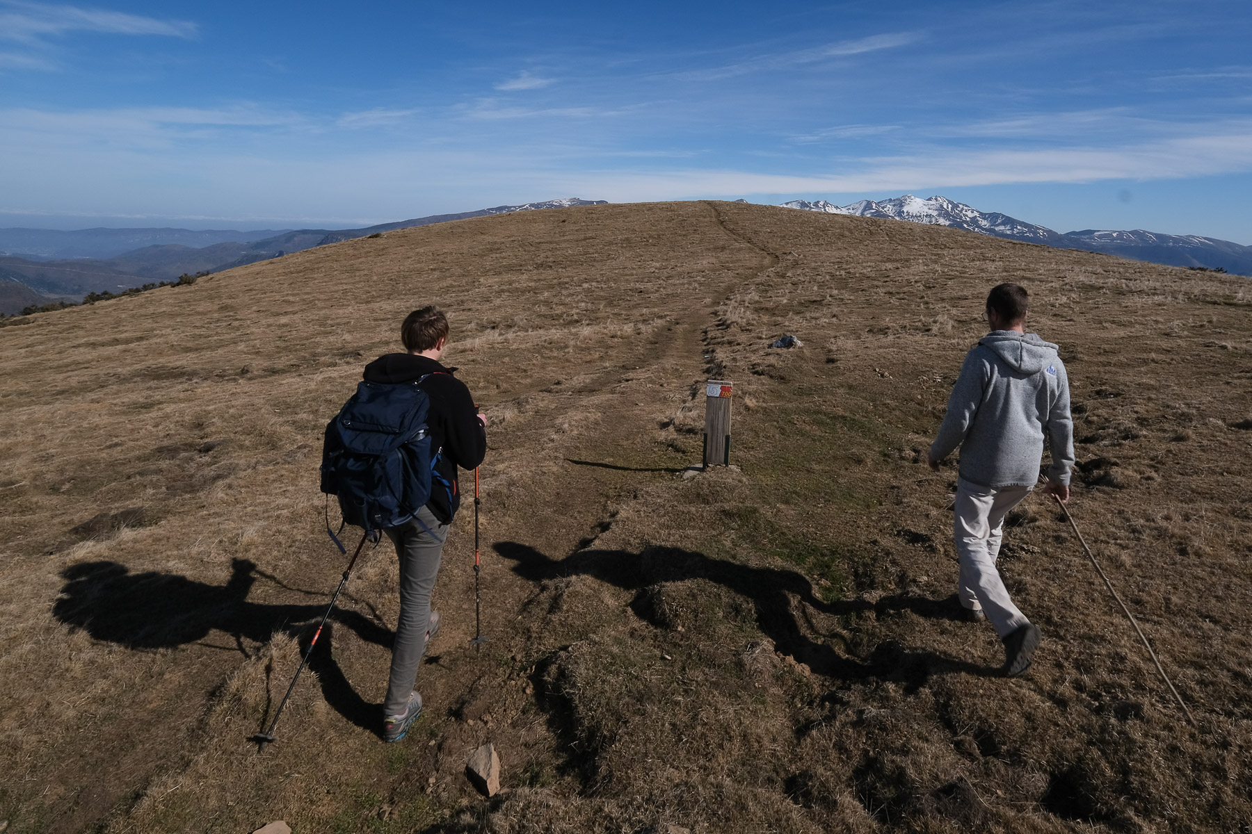
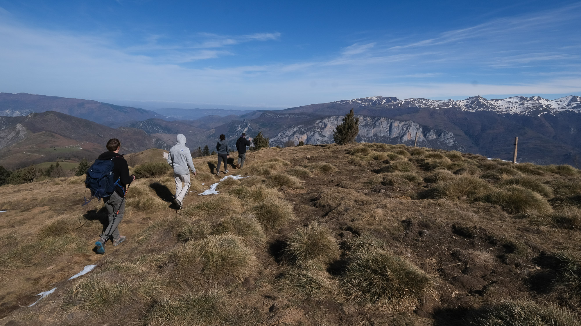
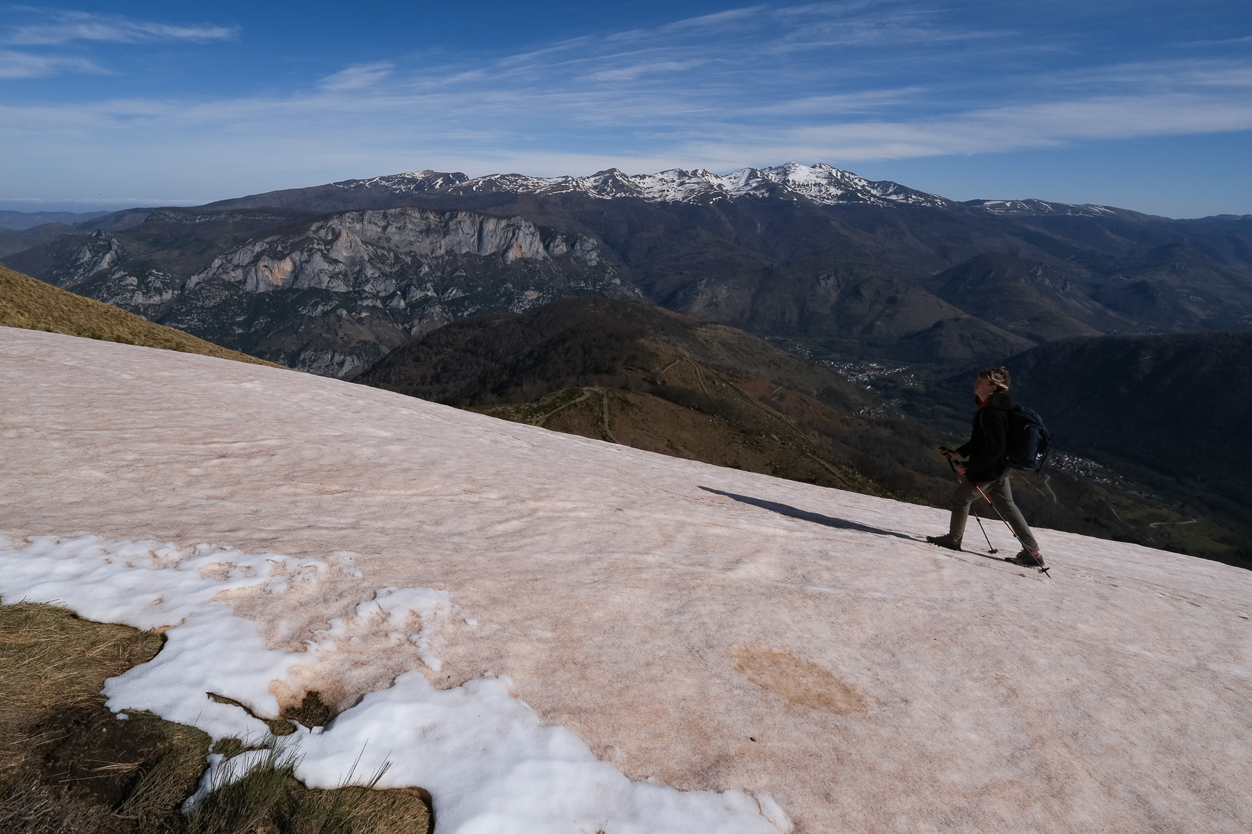
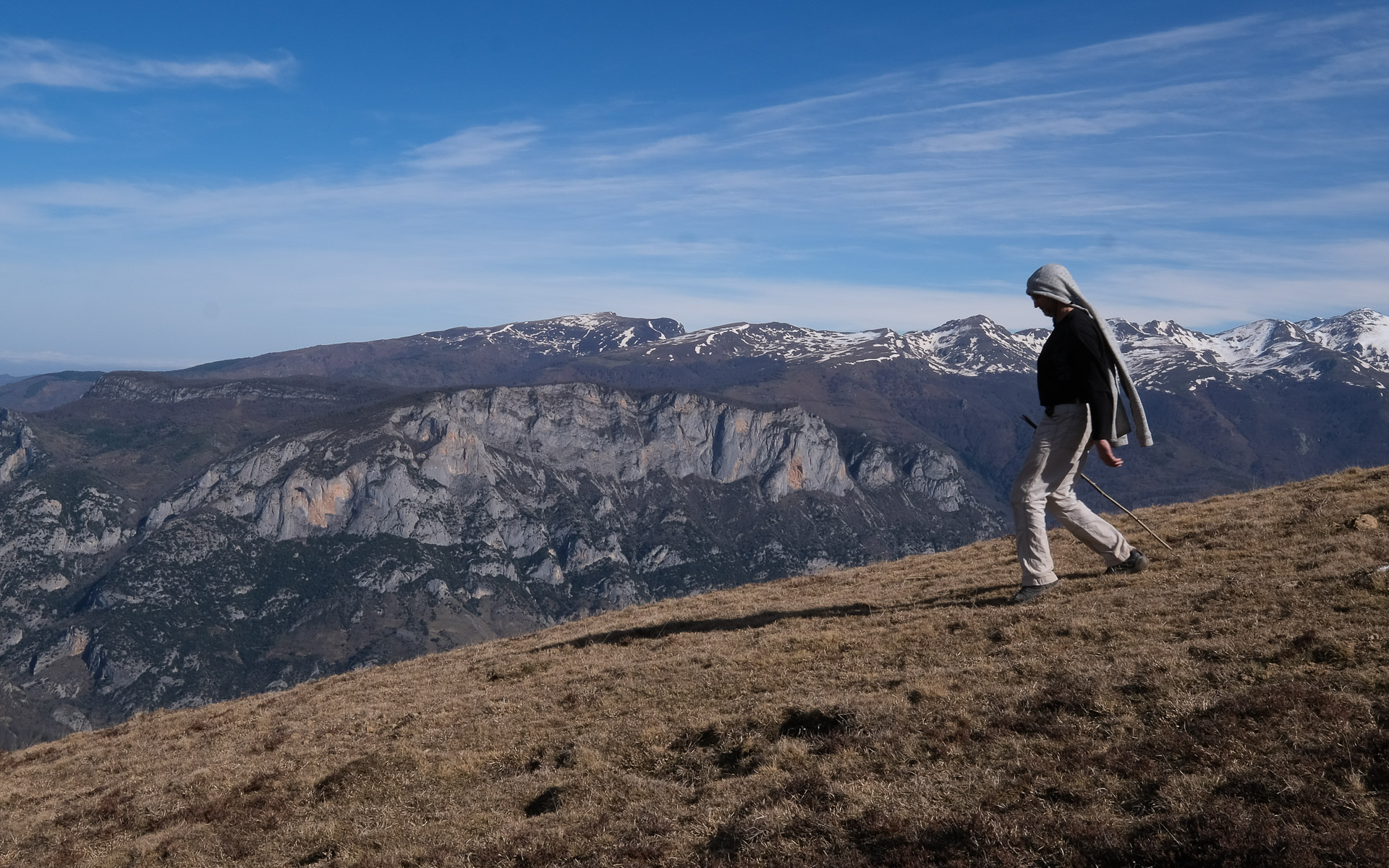
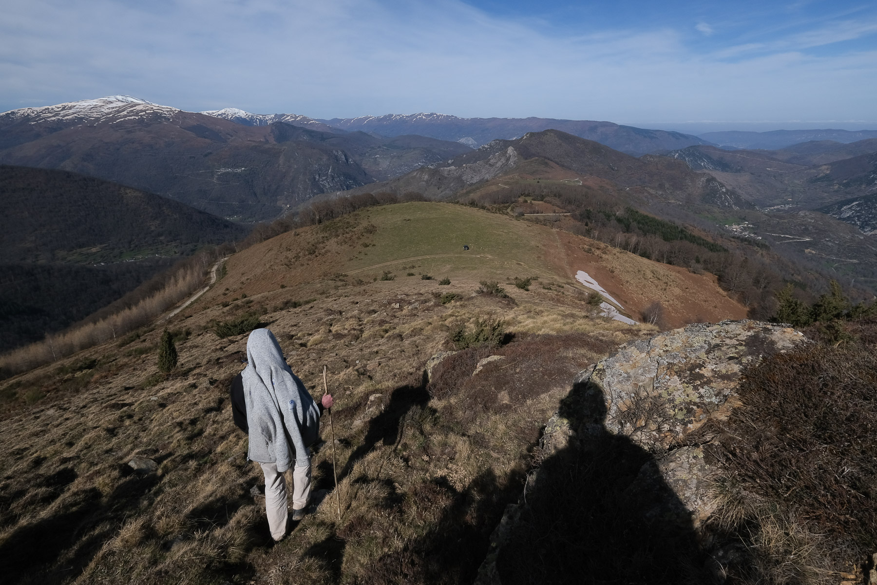
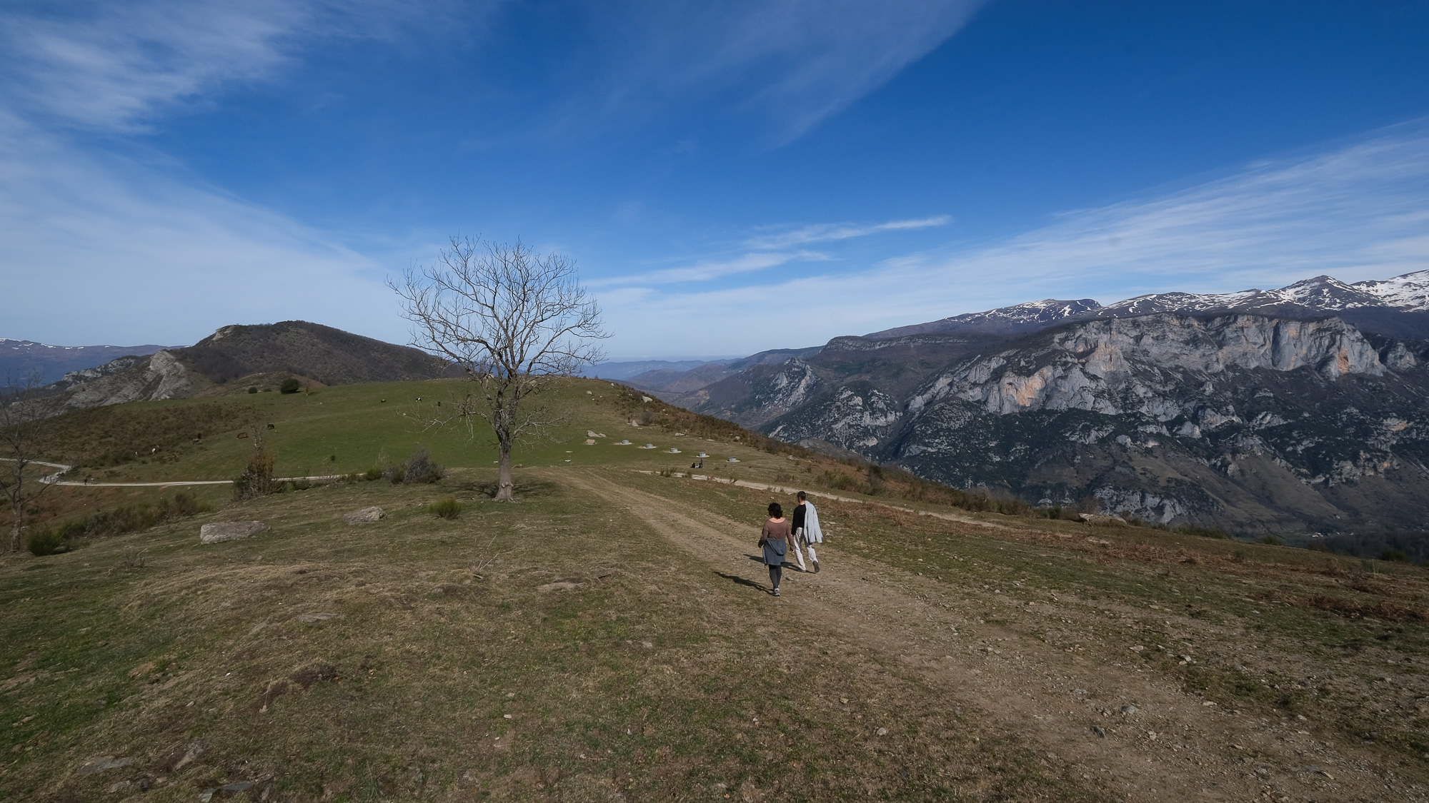
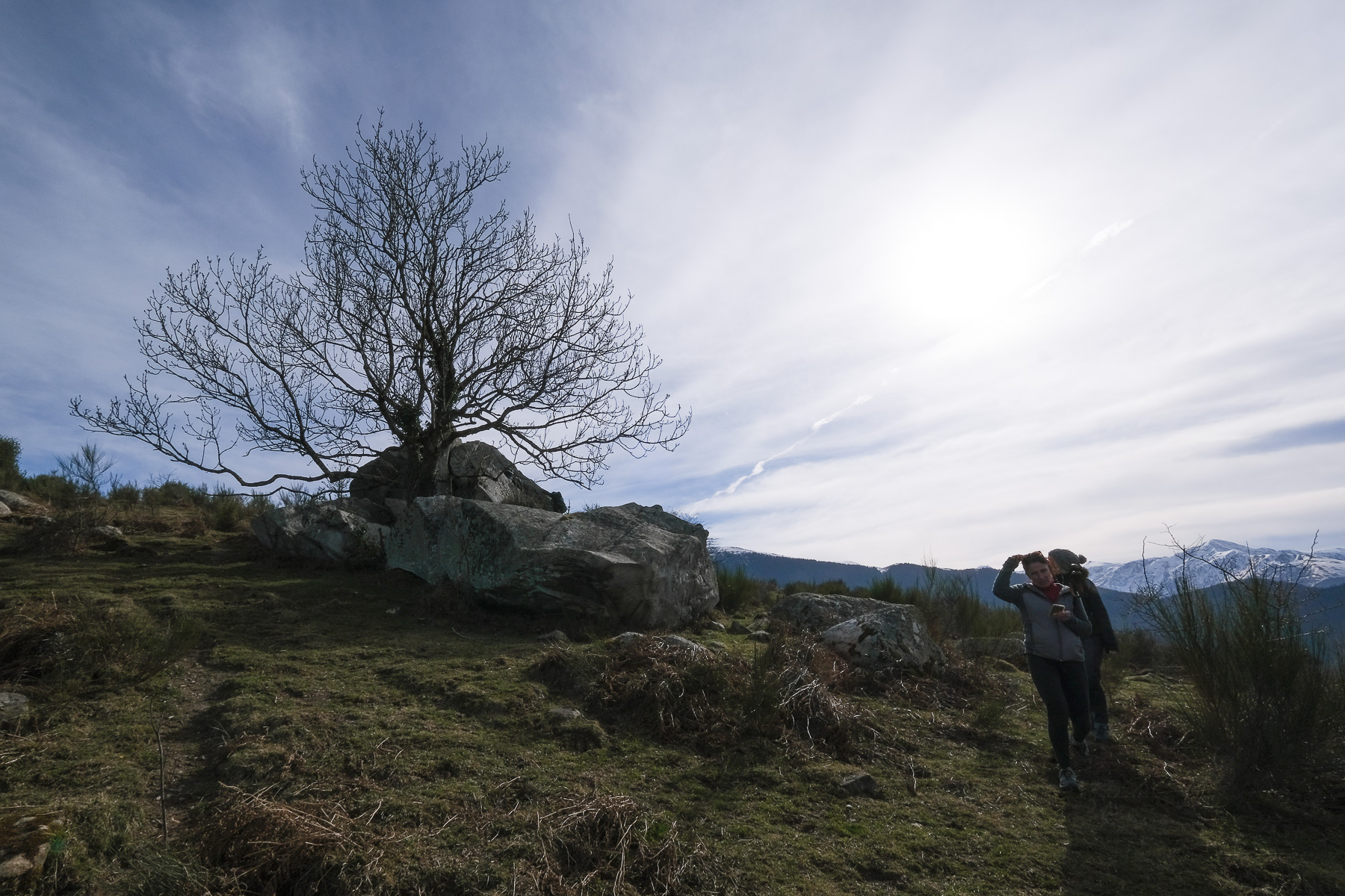
Starting from the small village of Norgeat in Haute-Ariège, the route forms a large loop over the crests from Col de Gamel to Col de Larnat, passing through Plan de Montcamp and Rocher de Miglos. The panorama of the route is aerial, offering superb views of the Ariège Pyrenees and, as you traverse the crests of the Lesse, breathtaking vistas of the Quié de Sinsat cliffs and the Tabe massif above. Without any major difficulties, the hike is nonetheless quite demanding, with over 15 kms on the clock and more than 1000m of ascent. The day's conditions were just right, with gispet and patches of snow still colored with Saharan sand, under the low-angled light of a fine winter's day.
❱❱ Technical summary
Type ✦ Trekking
Location ✦ Norgeat, Commune de Miglos
Region ✦ Haute-Ariège
Country ✦ France
Max altitude ✦ 1905m
Distance ✦ 15.5km
Vertical drop ✦ 1070m
Difficulty ✦ E3 / T2 / R2
Duration ✦ 4h to 5h
Interest ✦ ★★
❱❱ Access to the place
On leaving Tarascon-sur-Ariège towards Ax-les-Thermes, turn south onto the D8 towards Vicdessos. Pass Niaux and in Capoulet a little further on, turn east towards Miglos, then continue on the small road up to Norgeat at the bottom of the valley. Drive through the village (be careful, very narrow streets) and park near the yellow PR trail crossing.
❱❱ Map & topo
❱❱ Itinéraire
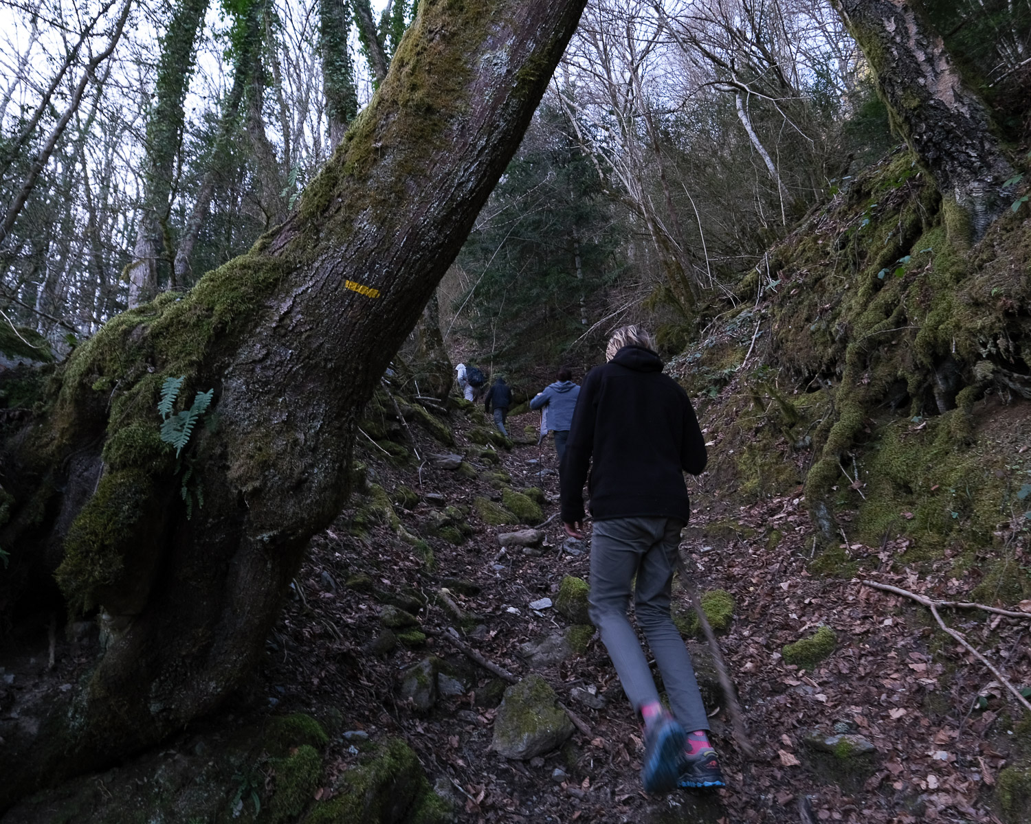
At the end of the village of Norgeat, you can easily find the yellow PR trail. Follow the road/trail to the south, then leave it to take the path up to Col de Gamel. This is the start of a steep, sustained approach through the forest, with 450m of ascent. There are some really steep sections and little respite except at the end with a short traverse to reach the pass at 1390m.
The route follows the GR as far as Pla de Montcamp, from where you descend off-piste but without difficulty. The rest of the ridge is easy to follow. From the Rocher de Miglos to the Col de Larnat, there is a signposted trail (mountain bike?). No technical difficulty or exposure, but a considerable physical effort. Most of the route is exposed to the wind, which can make conditions more difficult.
From the Col de Larnat, take the yellow PR path which descends to the west to reach the village of Norrat at the bottom of the valley via the Correc ravine. In this village, you'll find the continuation of the yellow trail, which quickly crosses back to Norgeat, the starting point of the hike.
Topo du Pla de Montcamp from Gestiès en Raquettes.


Leave a Reply