


TOPO Ski Touring | CLIMBING7.COM
Publié le
 Partager sur WhatsApp
 Partager sur Twitter
Partager sur Instagram
Partager sur Twitter
Partager sur Instagram

 Partager sur Facebook
 Imprimer le topo
 Laisser un commentaire

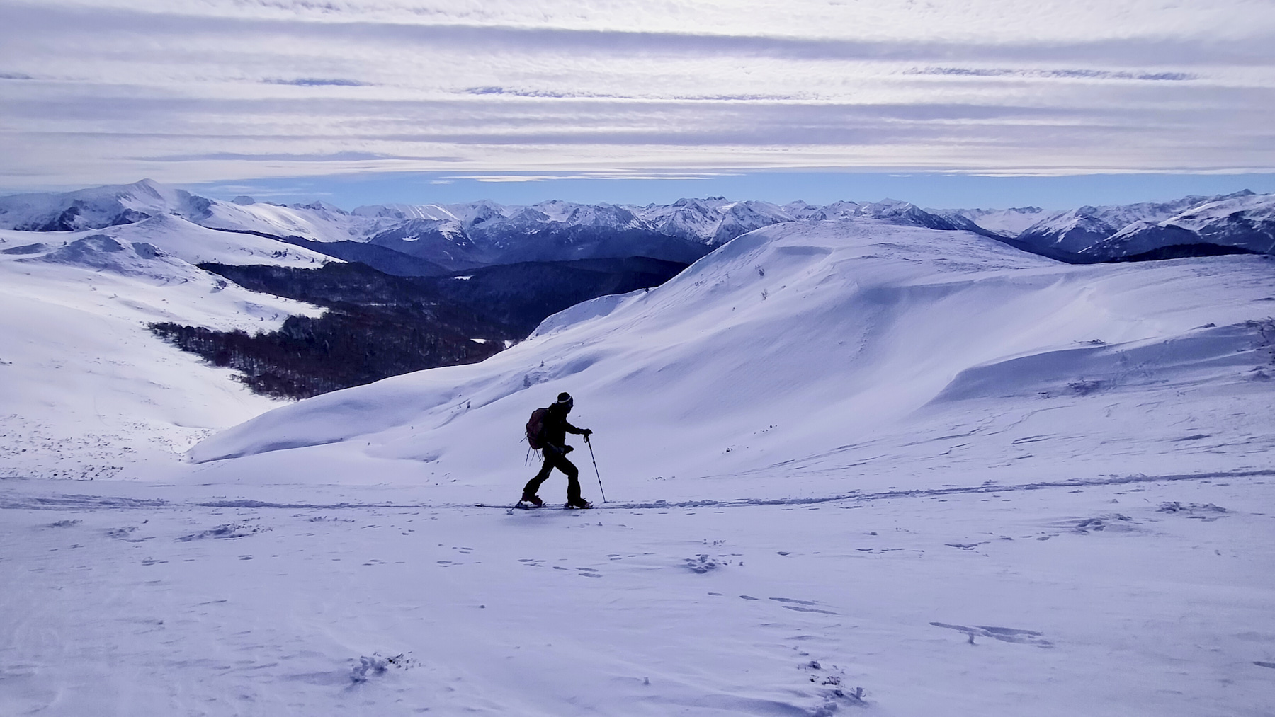
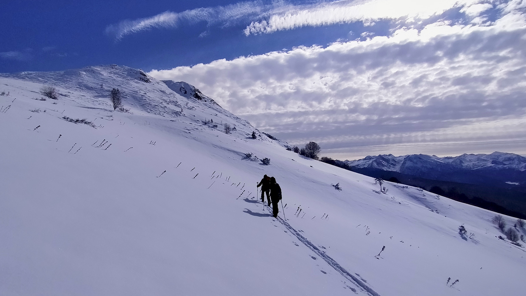
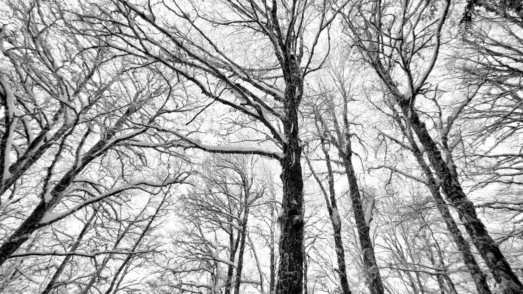
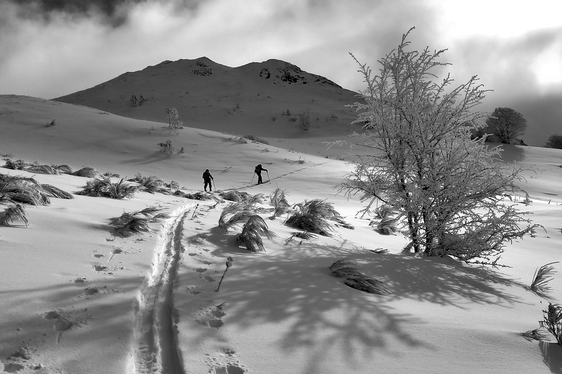
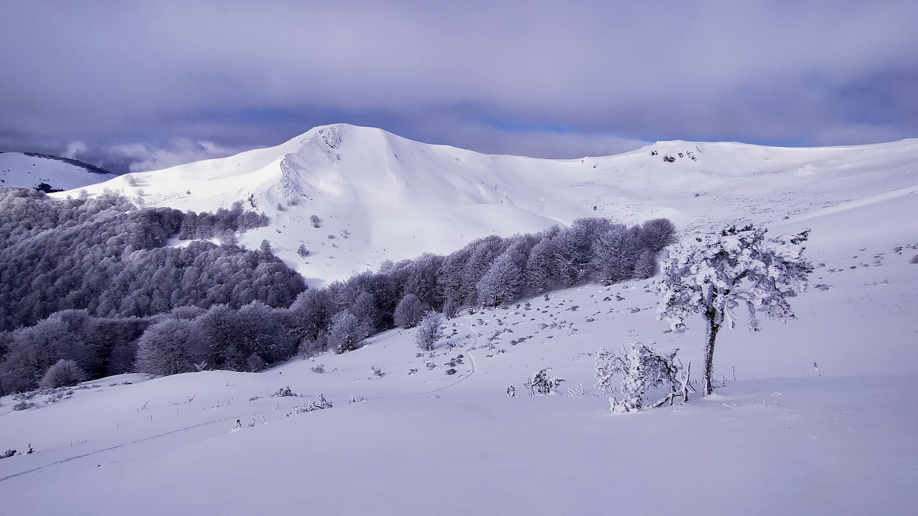
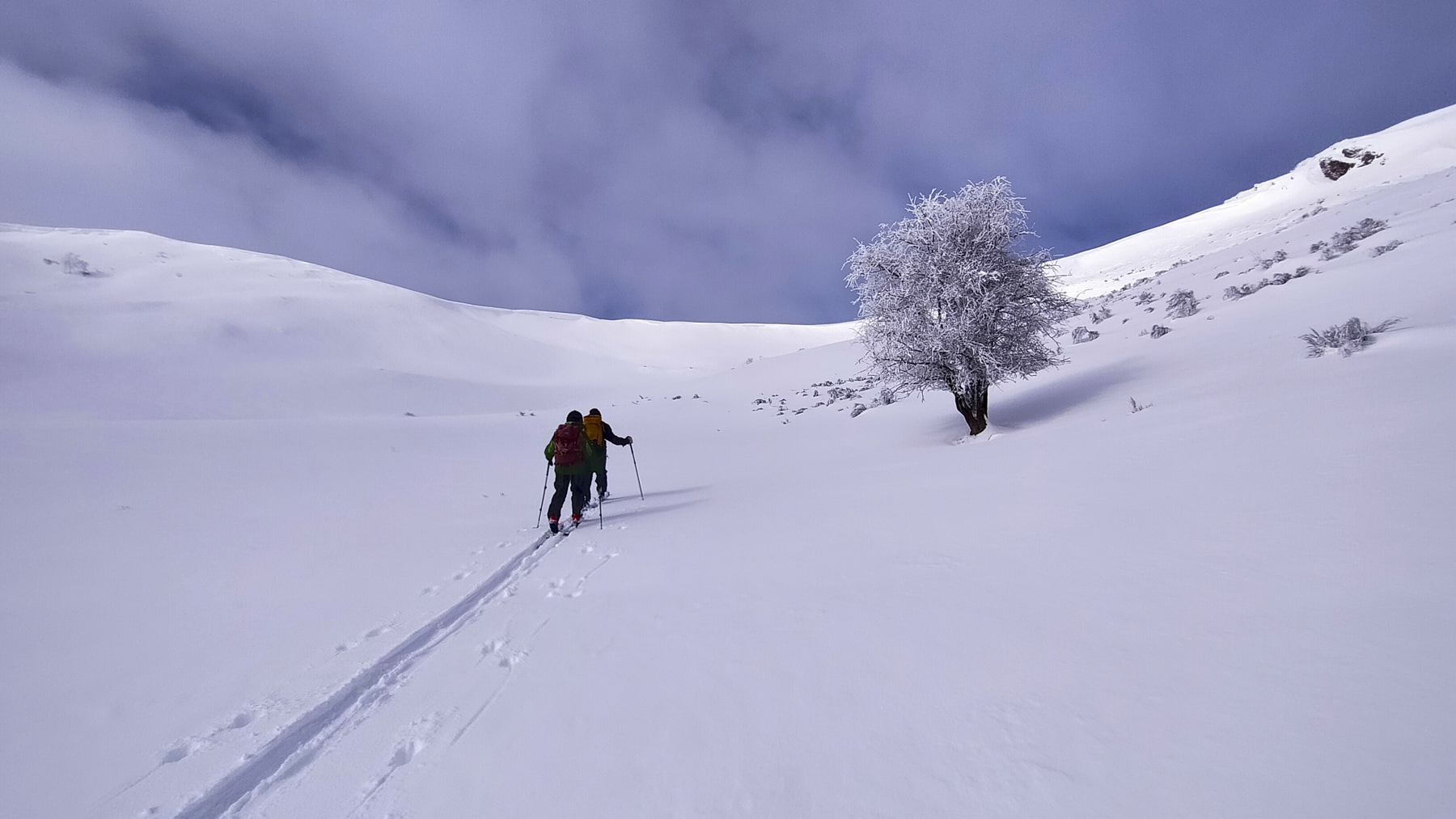
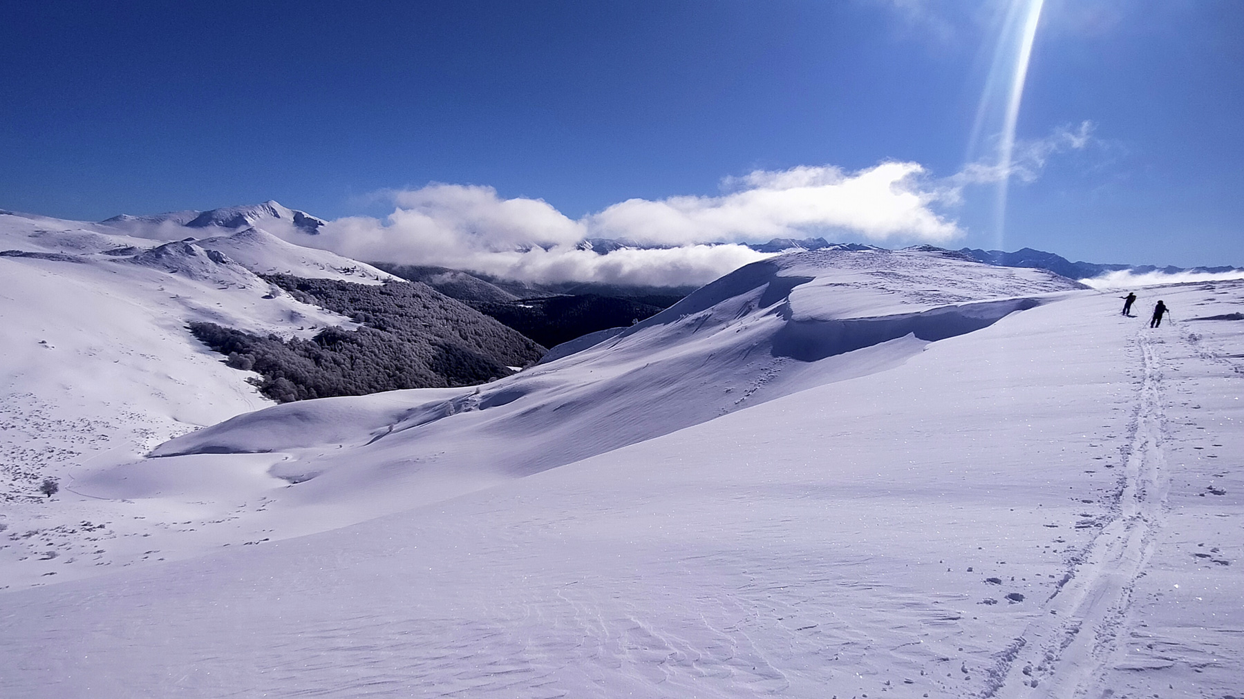
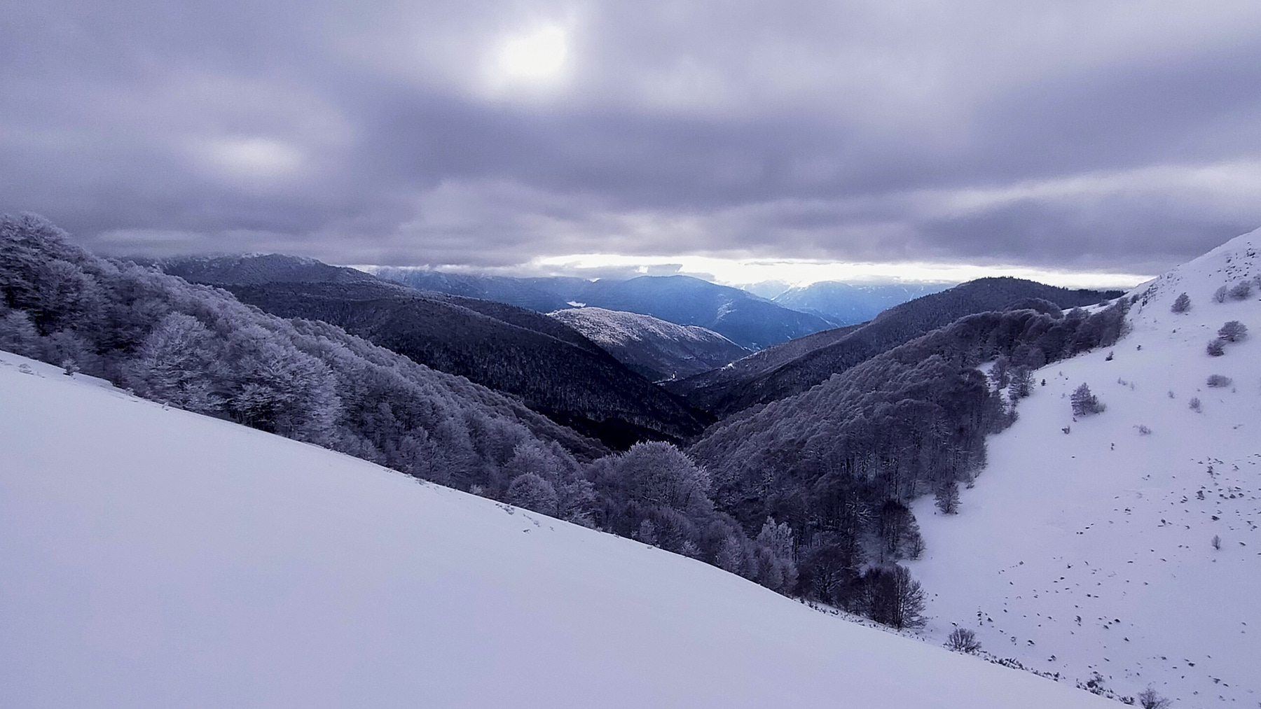
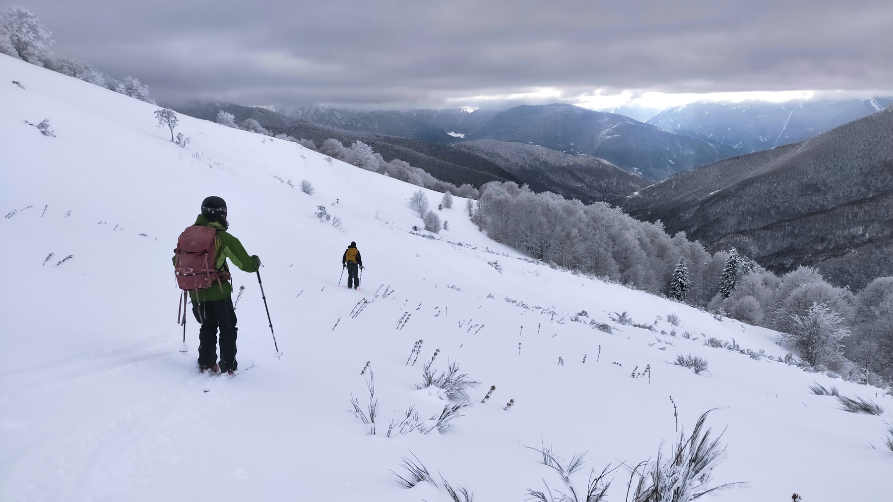
Facing the Pyrenees, above the small resort of Camurac, there are some lovely slopes to ski without too much difficulty, when the snow conditions are right. The panoramas are magnificent, and there are several options for enjoying these wild little valleys. The difference in altitude is slight, unless you decide to climb back up to the east face of Pic Doulent, as long as the snow doesn't get too sunny.
❱❱ Technical summary
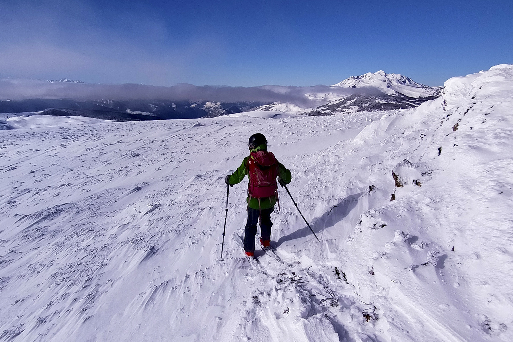
► Itinerary : Ski touring. Elevation gain of 400m or more, 4 kilometers to the summit, more if 2 or 3 passes. Maximum altitude of 1780m at the summit of Pic Doulent.
► Geographical situation : Departure from Camurac station in Aude (11) or Sorgeat village in Ariege (09)
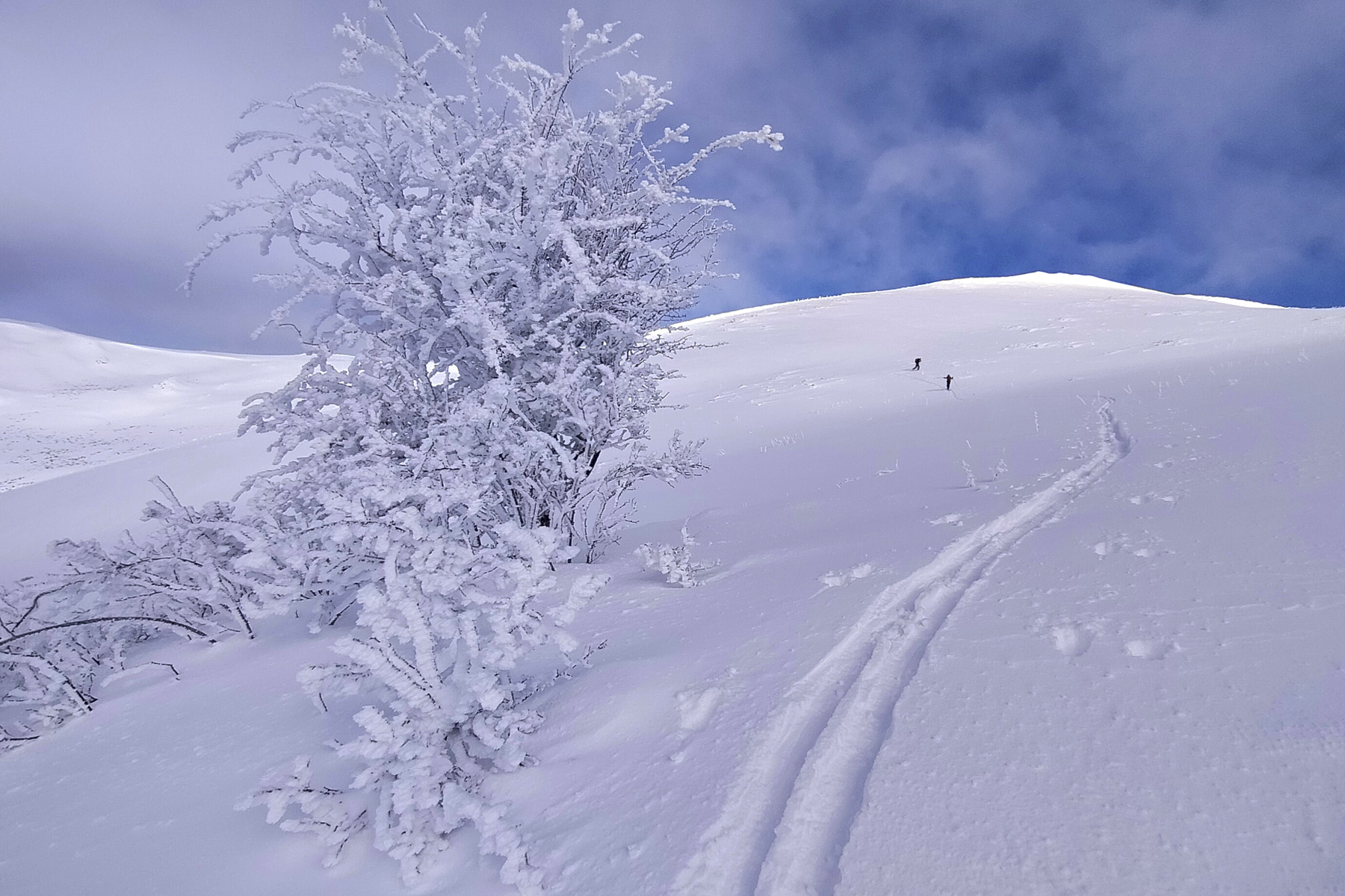
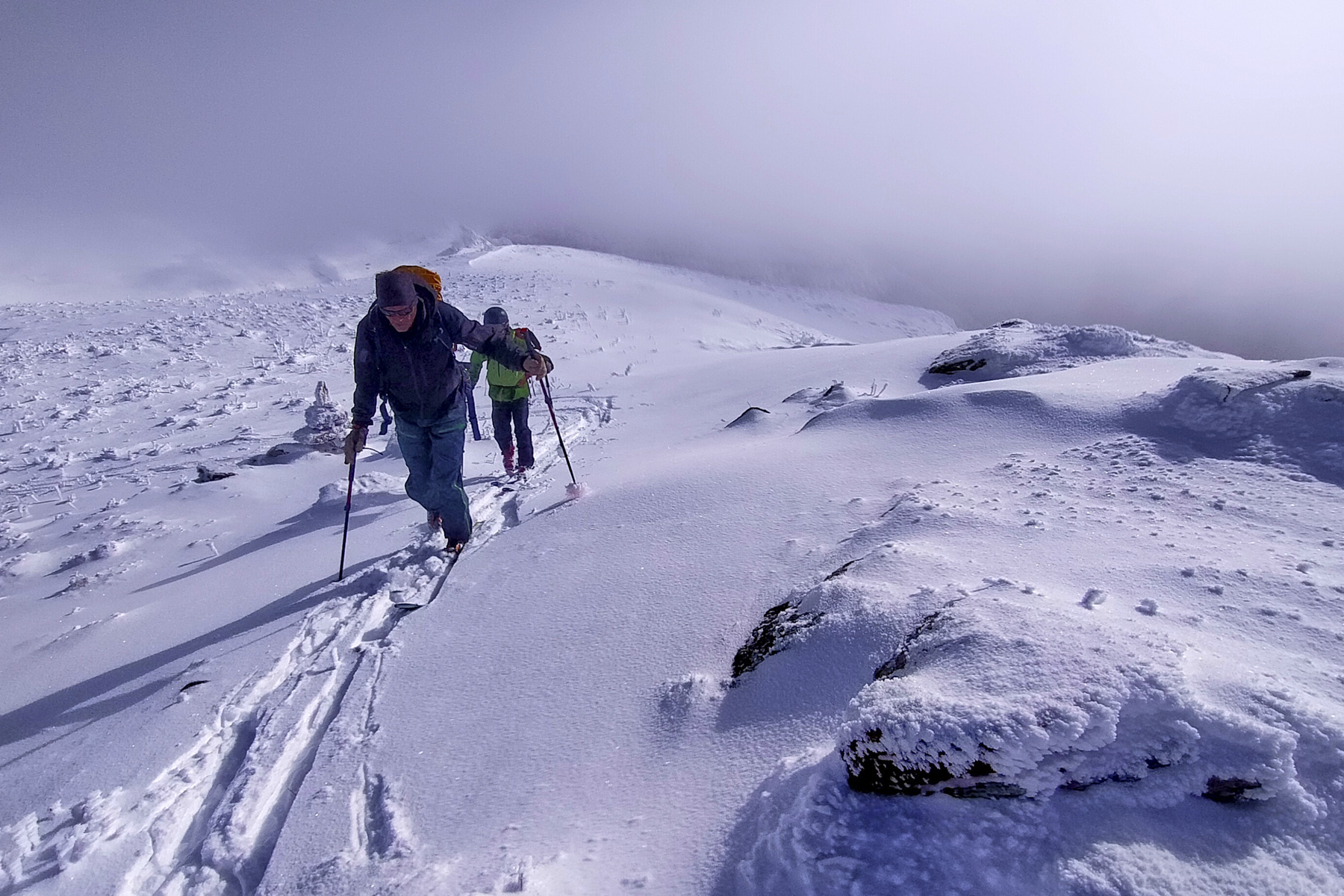
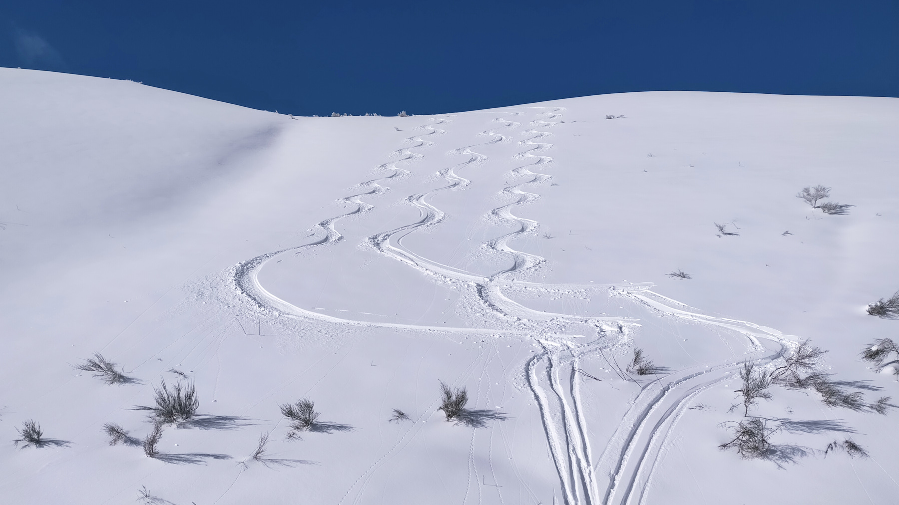
► Technical difficulties : Easy and fairly fast ascent on the Camurac side, much longer and more physical when starting out on the Sorgeat side. East-facing ski descent at 30° from Pic Doulent, then below 30° the rest of the way.
► Orientation : Ascent east or northeast. Descent east then south-west.
► General review : A little outing with few visitors, which, if the snow conditions are right, allows you to enjoy short but beautiful slopes facing the Pyrenees.
❱❱ Access to the place
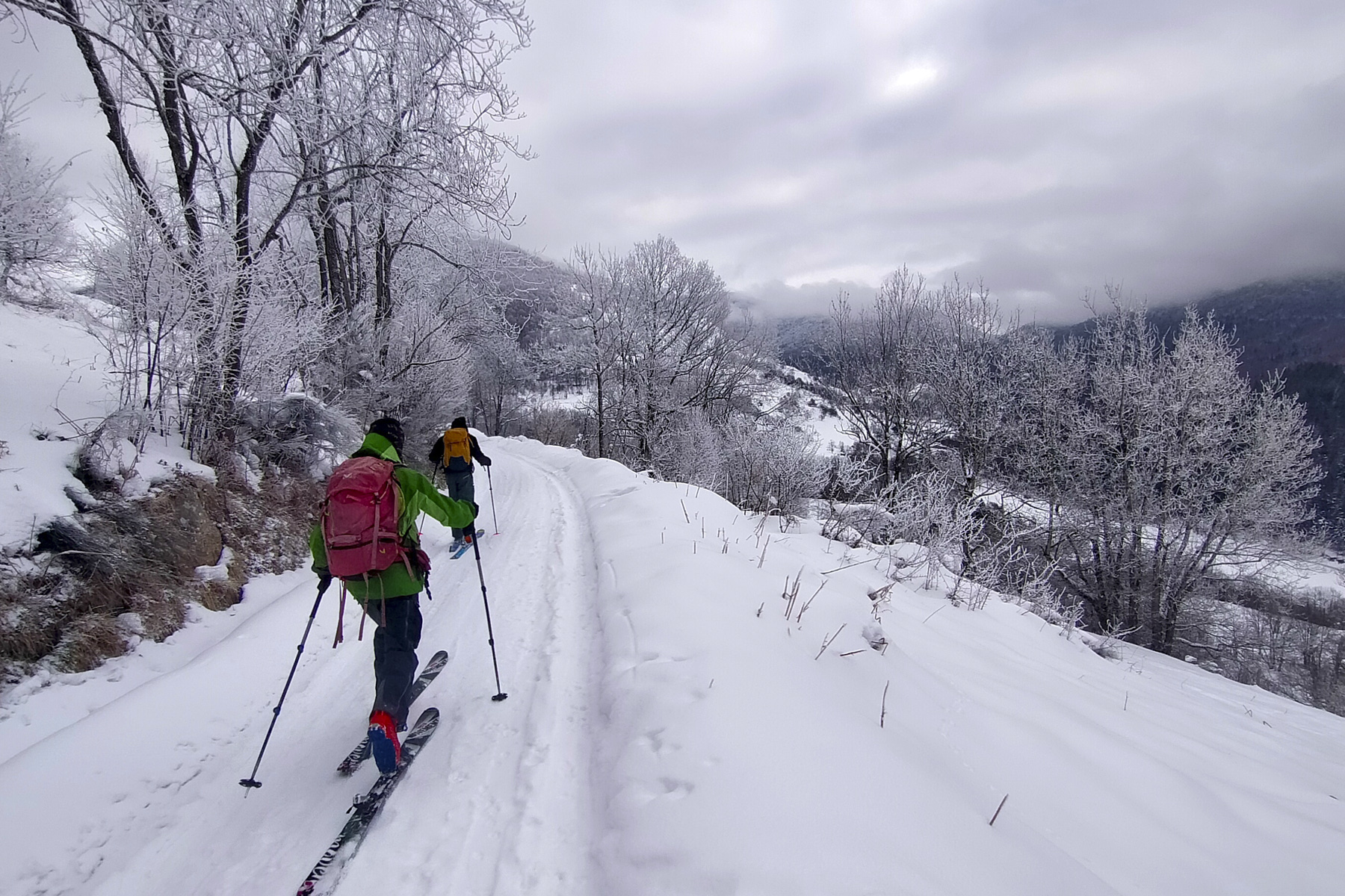
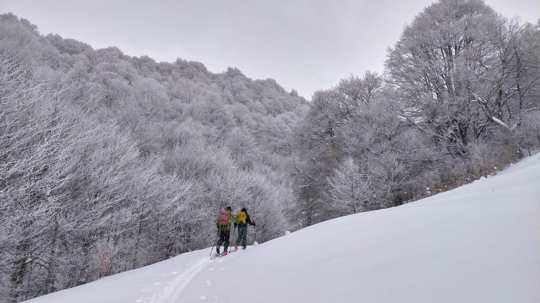
On the D613 between Quillian and Ax-les-Thermes, at the village of Camurac, just before the Col du Chioula, head up towards the ski resort. Park in the upper parking lot. Alternatively, on the N20 between Foix and Andorra, at Ax-les-Thermes, go up to the village of Sorgeat on the Chioula road. Park at the village entrance.
❱❱ Map & topo
All uphill and downhill routes are indicative and approximate.
Voir en plein écran❱❱ Itinéraire
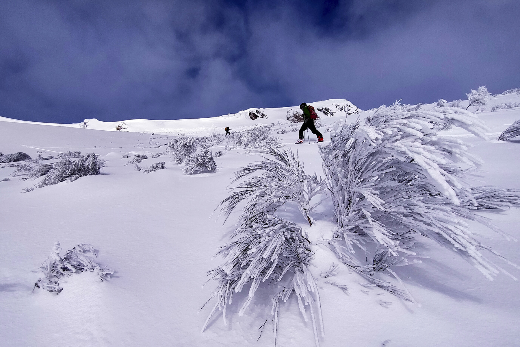
From the Camurac station, climb up along the ski lift and continue until you reach the ridge at the large ski lift at Pic de Pénédis. Continue along the ridge until you reach Roc de Quercourt, skirt it to the south and join the wide ridge running due south towards Pic Doulent.
Ski the east face with good options for 250m until you reach the bottom of the valley, before entering the forest. It's easy to climb back to the ridge from the inside. Further to the east, as you move towards the Pic de Cassoula, there's another option to ski off and then into the forest.


Leave a Reply