


TOPO Hiking | CLIMBING7.COM
Publié le
 Partager sur WhatsApp
 Partager sur Twitter
Partager sur Instagram
Partager sur Twitter
Partager sur Instagram

 Partager sur Facebook
 Imprimer le topo
 Laisser un commentaire
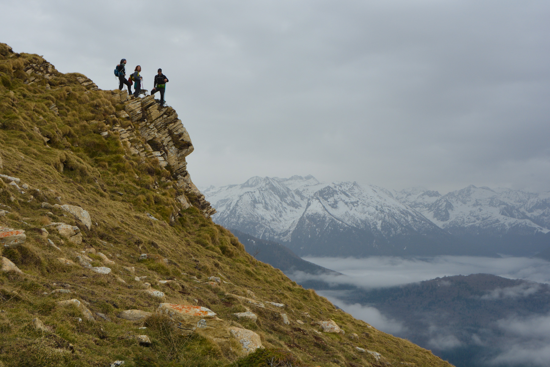
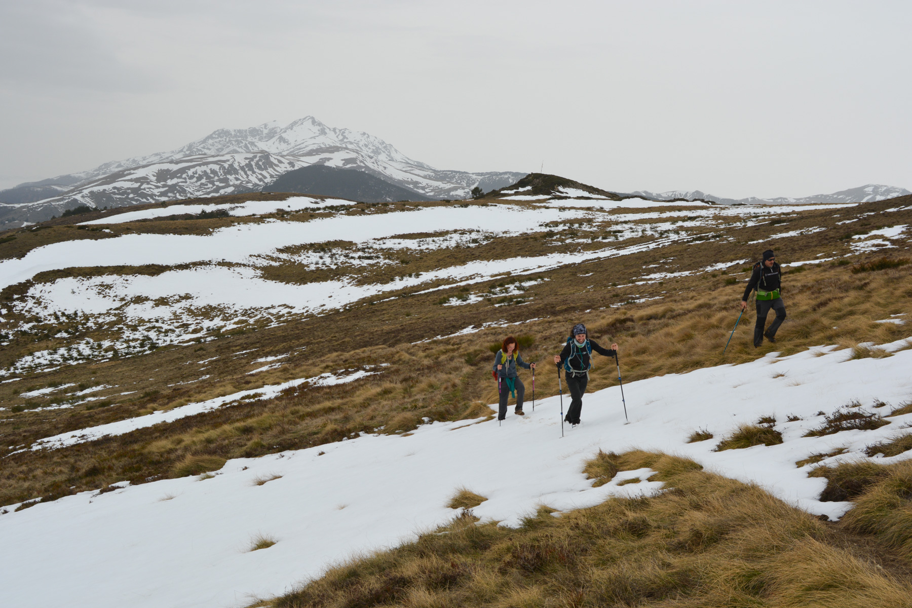
Leaving from the village of Sorgeat, at the bottom of the Ax-les-Thermes valley, the route to the Pic Doulent follows the GR107 for a loop on the edge of the Aude, offering lovely panoramic views of the Ariège Pyrenees and some of the area's mythical peaks: Tarbésou, Dent d'Orlu, Roc Blanc. Although the gradient is reasonable, the distance is quite considerable. The only thing missing today was good weather, which, despite forecasts, didn't arrive.
❱❱ Technical summary
Type ✦ Hiking
Location ✦ Sorgeat
Region ✦ Ariège
Country ✦ France
Max altitude ✦ 1780m
Distance ✦ 15,8km
Vertical drop ✦ 750m
Difficulty ✦ AD
Duration ✦ 4h to 5h
Interest ✦ ★
❱❱ Access to the place
From Ax-les-Thermes, climb up to Col de Chioula. At the top, turn right at the junction for Ascou and Col de Pailhères, and follow the road to Sorgeat/ignaux. Turn right and park at the entrance to Sorgeat.
❱❱ Map & topo
❱❱ Itinéraire
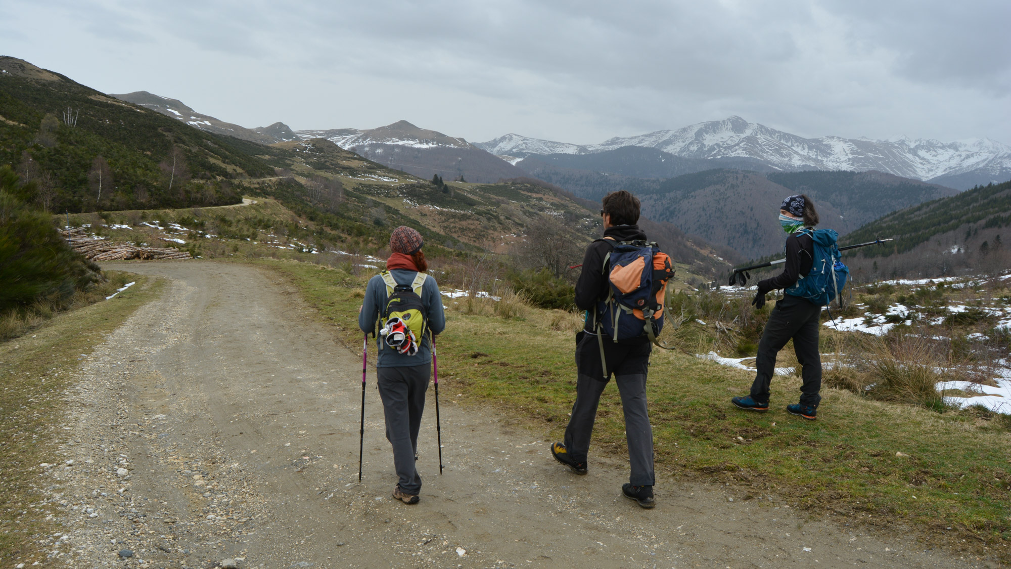
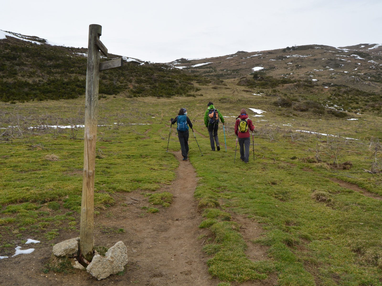
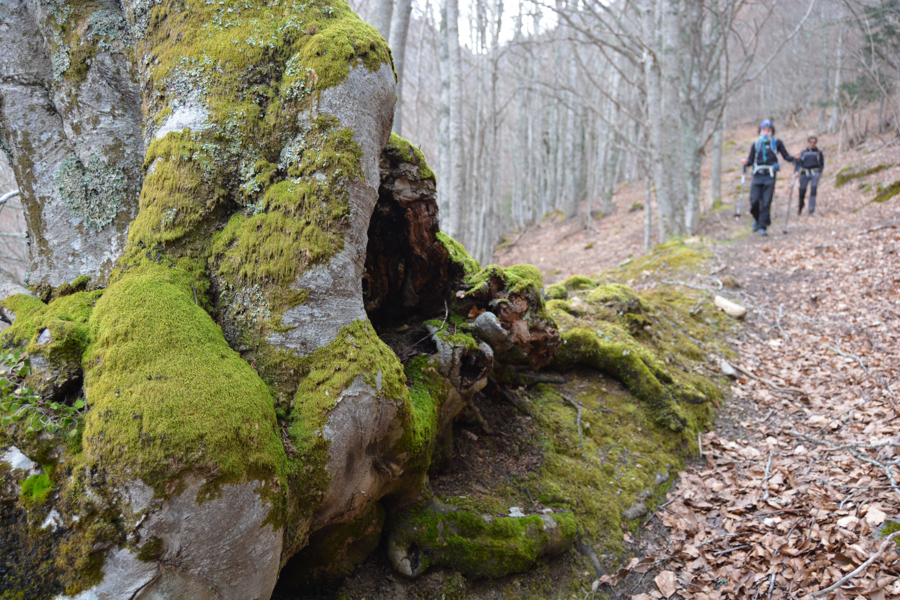
Drive through the village, passing to the left of the church, in the direction of the campsite. On leaving the village, turn right onto the track/road heading due east. Follow this track, which later becomes the GR107. Continue gradually uphill until you find the GR path rising to the left. Start of the loop.
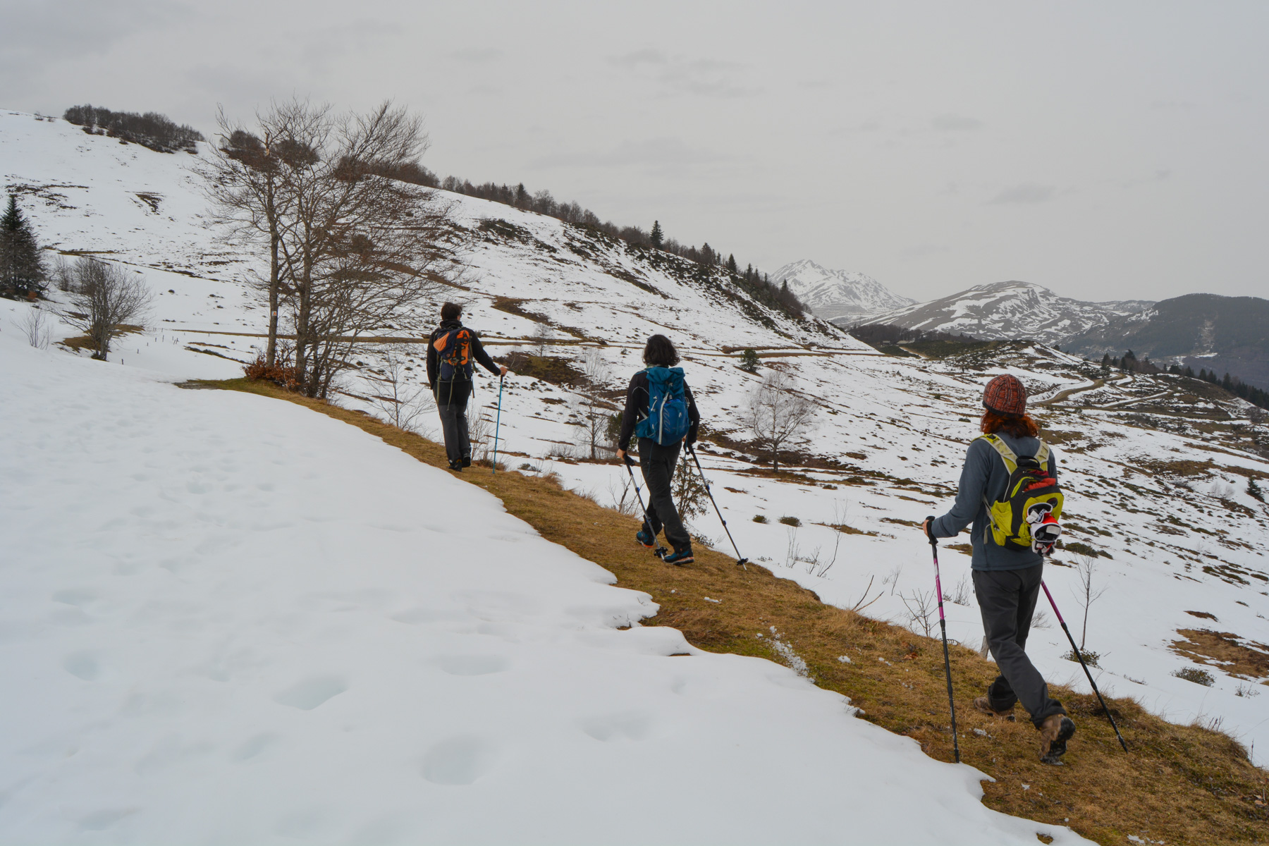
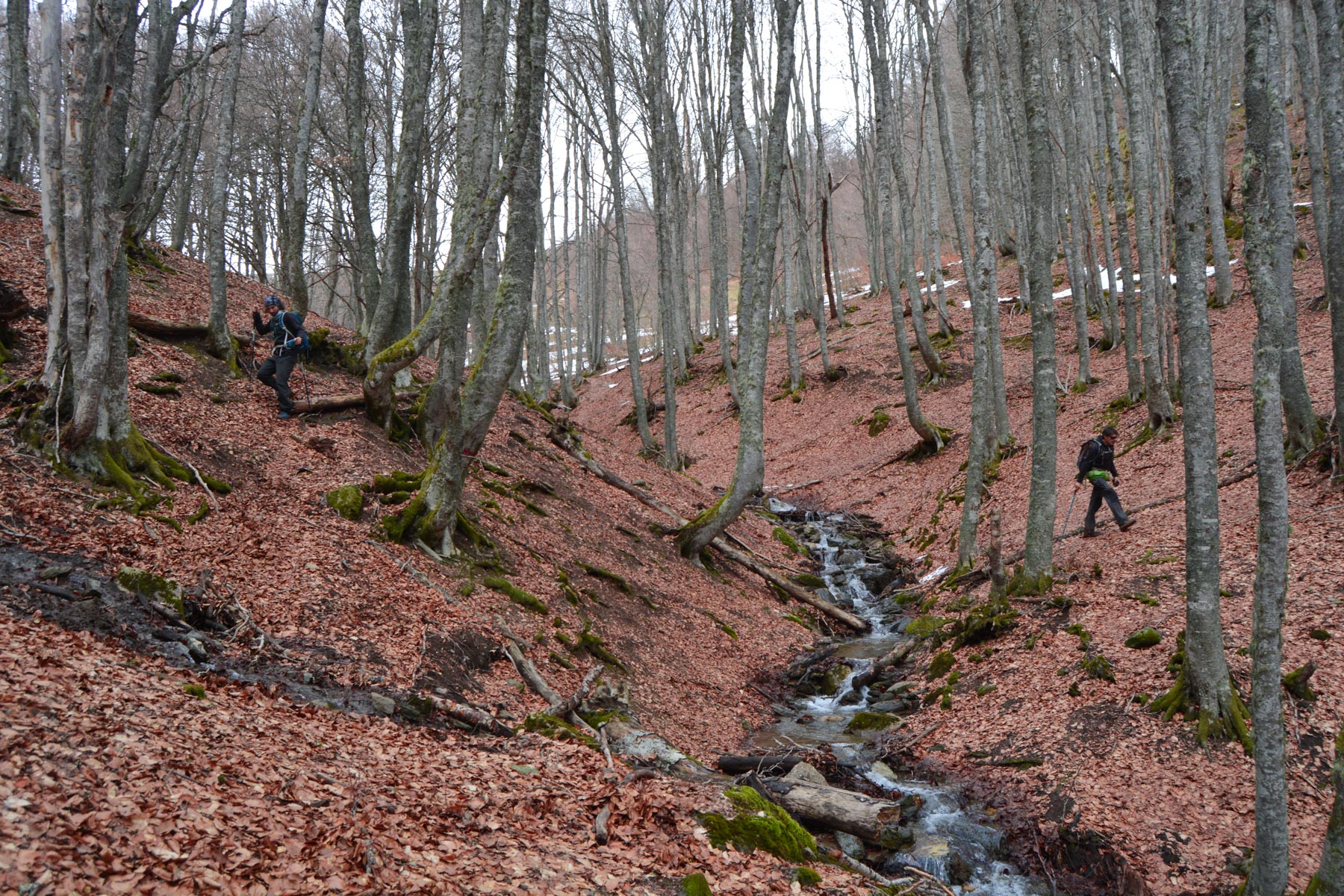
No difficulty in terms of orientation for most of the route. Only the final ascent of the Pic Doulent and the return descent via the Coume Belle along the Riu Caud are off-trail but obvious.
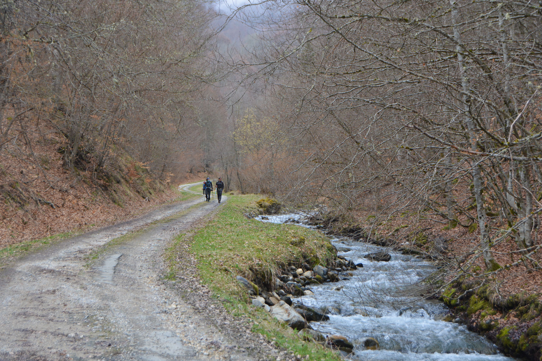
From Courtel d'Aybram, follow the road downhill (a shortcut is possible at the start via an old track on the right-hand side, to avoid the first hairpin bends). Follow the winding track along the torrent and out of the valley to the start of the loop. Then return to the Sorgeat parking lot in the opposite direction to the approach.
Pic Doulent topo from Col du Chioula (snowshoeing)


Leave a Reply