


TOPO Hiking | CLIMBING7.COM
Publié le
 Partager sur WhatsApp
 Partager sur Twitter
Partager sur Instagram
Partager sur Twitter
Partager sur Instagram

 Partager sur Facebook
 Imprimer le topo
 Laisser un commentaire

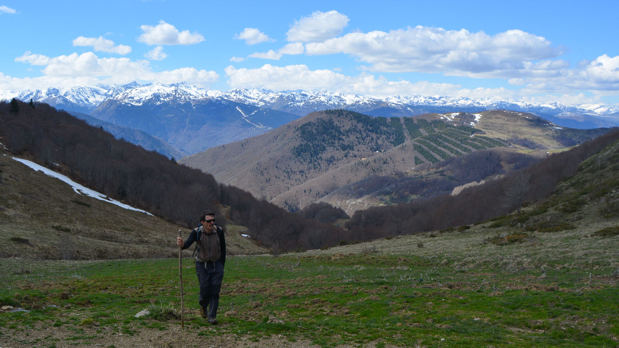
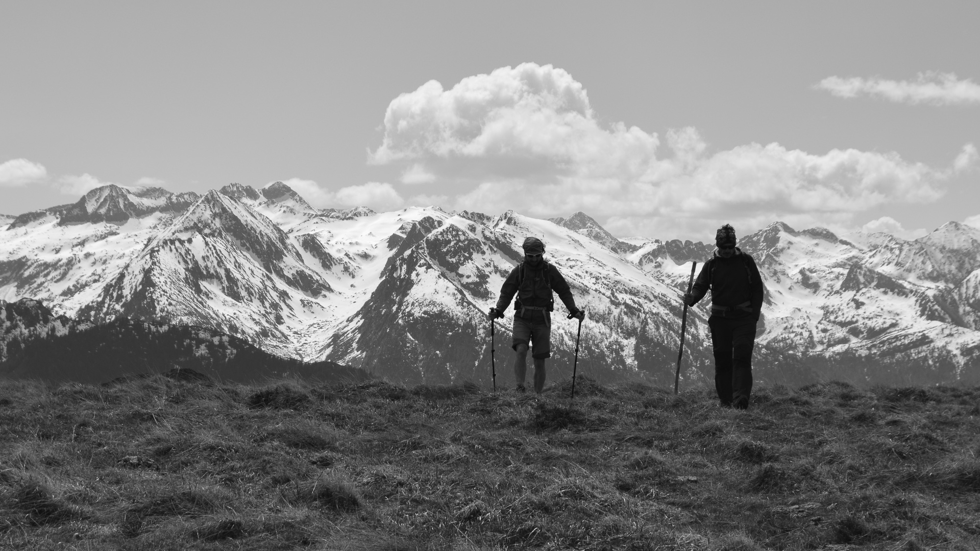
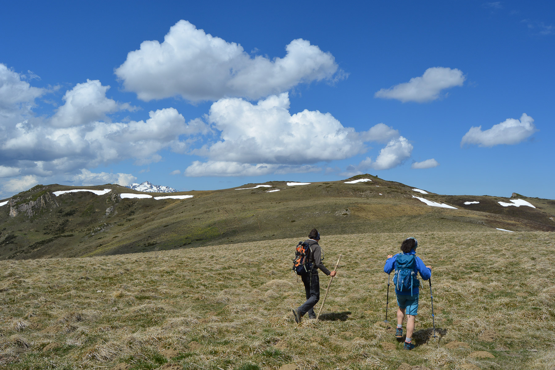
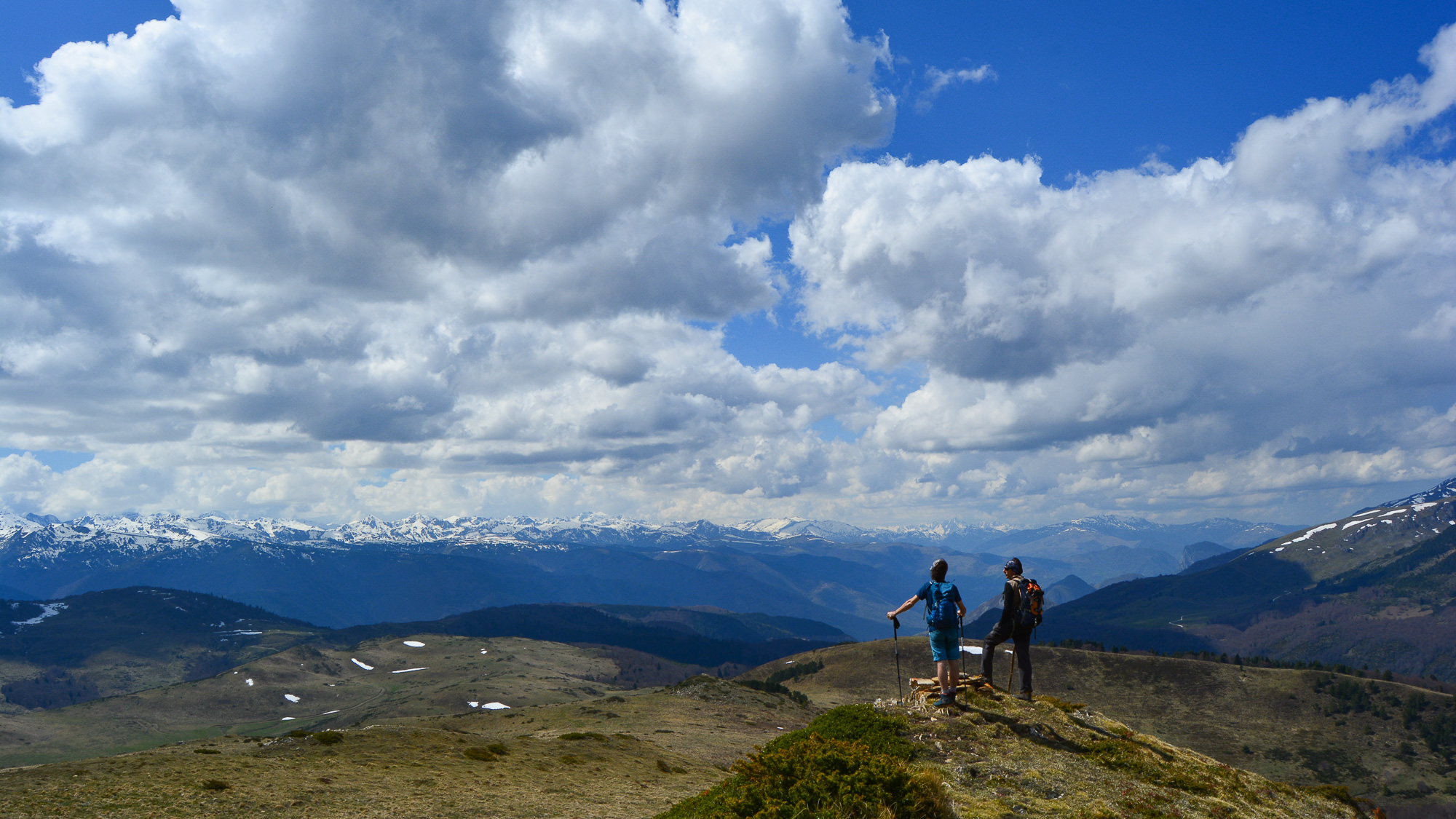
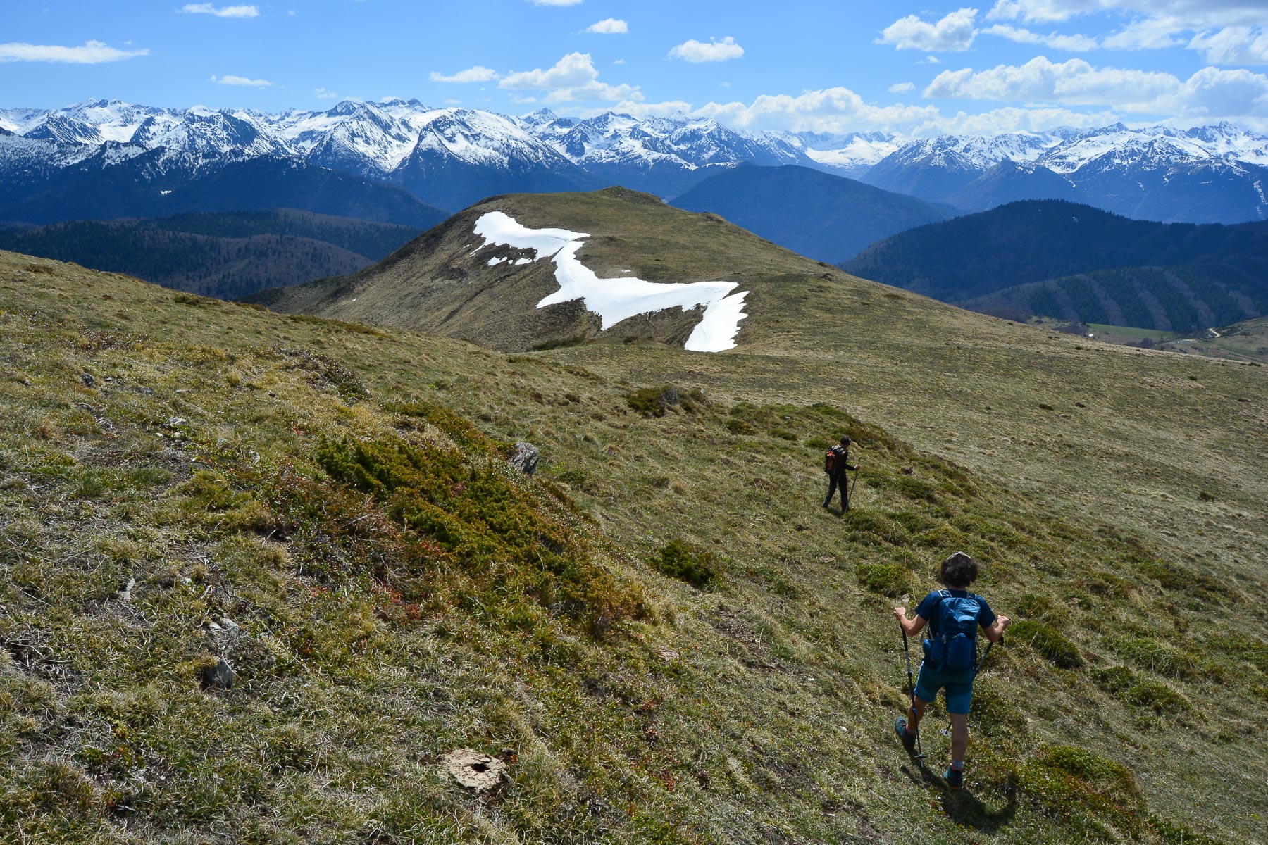
A long loop that leads to the summit of Roc de Quercourt before following the ridges from east to west between Ariège and Aude, returning via the Chioula refuge and Col d'Ijou. Quite a distance, but a reasonable altitude difference for a very pleasant hike with exceptional panoramic views of the Ariège and Andorran Pyrenees over much of the route.
❱❱ Technical summary
Type ✦ Hiking
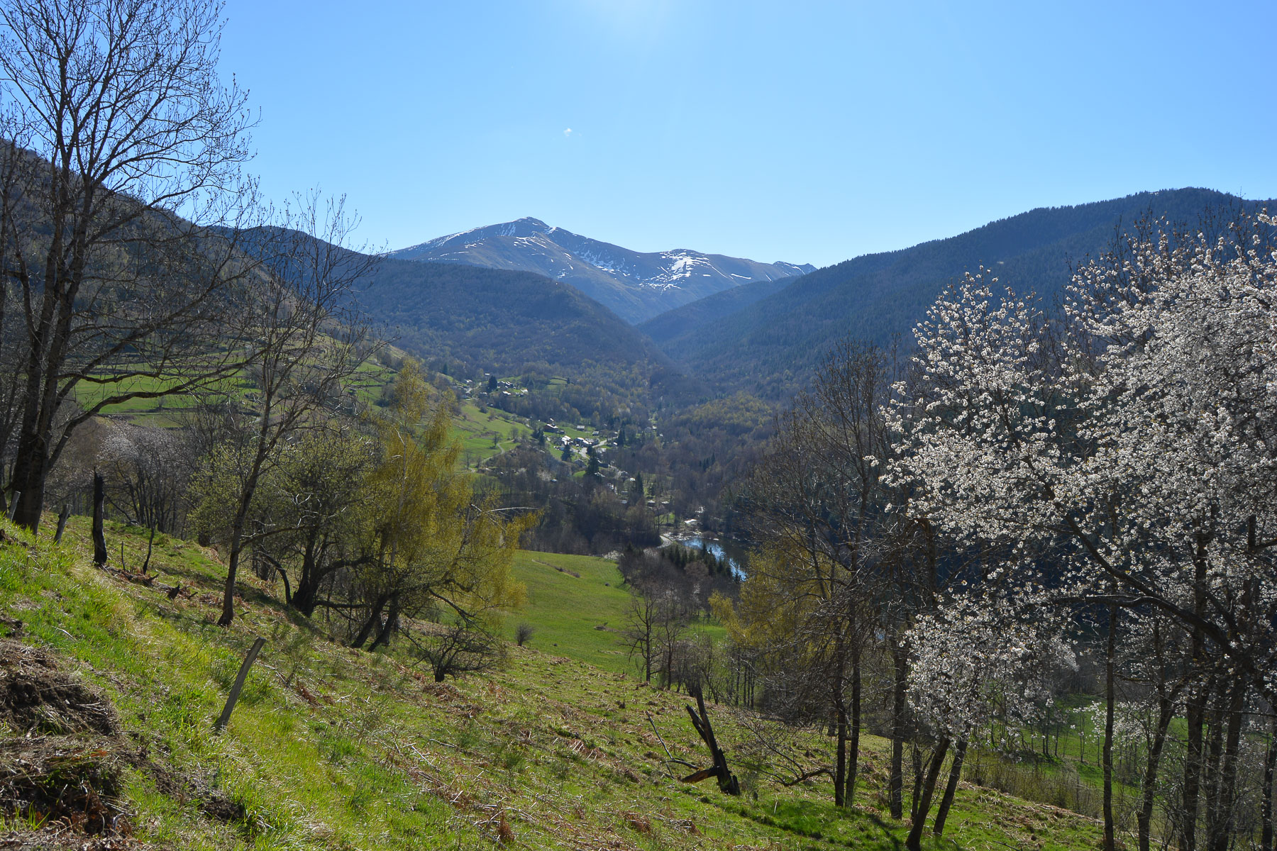
Location ✦ Sorgeat
Region ✦ Ariège
Country ✦ France
Max altitude ✦ 1824m
Length of ascent ✦ 20km
Dénivelé ✦ 900m
Difficulty ✦ AD
Duration ✦ 6h to 7h
Interest ✦ ★
❱❱ Access to the place
From Ax-les-Thermes, climb towards Ascou. Leave Ascou to climb towards Col de Chioula and enter the village of Sorgeat to park.
❱❱ Map & topo
❱❱ Itinéraire
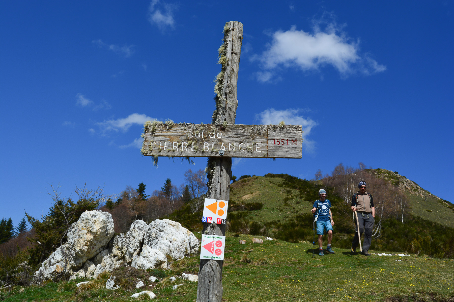
Cross the village at the top towards the La Prade municipal campsite and just outside the village, take the Route de la Vallée track. Walk on a false flat until you find the GR markers which join the track. Continue along the track, leaving the GR uphill to the left (return path from Col d'Ijou). The track then follows the curve of the mountain, heading north into the small valley of the riu Caud, before skirting it and crossing it. It climbs 2 large switchbacks to reach a small abandoned house: le Courtel d'Aybram. Starting point.
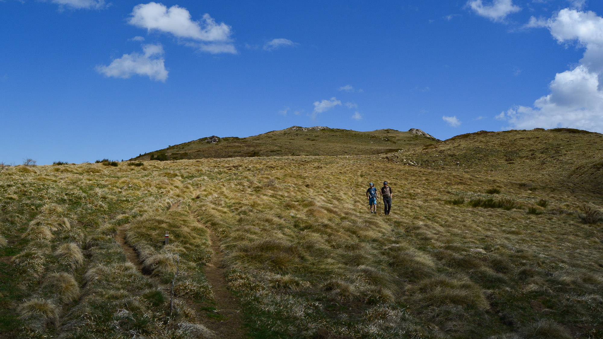
Once on the ridge, the route takes in all the heights to trace a great curve from east to west, "climbing" the Roc de Quercourt and then over a series of small summits to the Col de Ballague. No technical difficulty, but it's quite long, and the orientation is fairly obvious.
From the Col d'Ijou, descend southwards on the GR through the forest, then on a balcony above the Ascou valley. After about 20 minutes, you're back on the Route de la Vallée track near the starting parking lot.
Topo of Roc de Quercourt from Camurac


Leave a Reply