


TOPO Snowshoeing | CLIMBING7.COM
Publié le
 Partager sur WhatsApp
 Partager sur Twitter
Partager sur Instagram
Partager sur Twitter
Partager sur Instagram

 Partager sur Facebook
 Imprimer le topo
 Laisser un commentaire

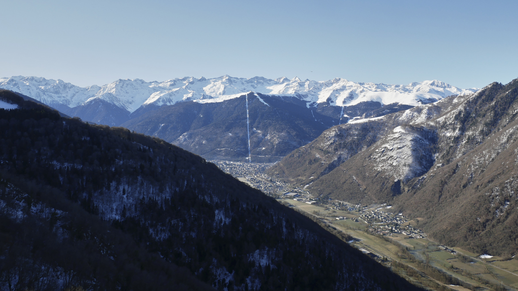
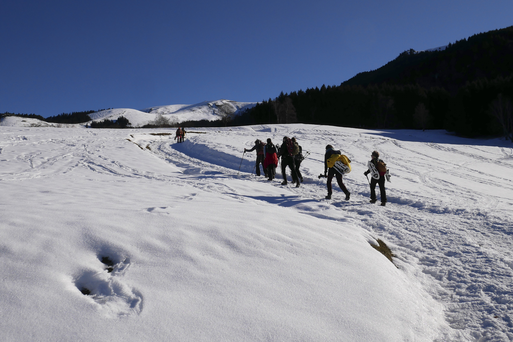
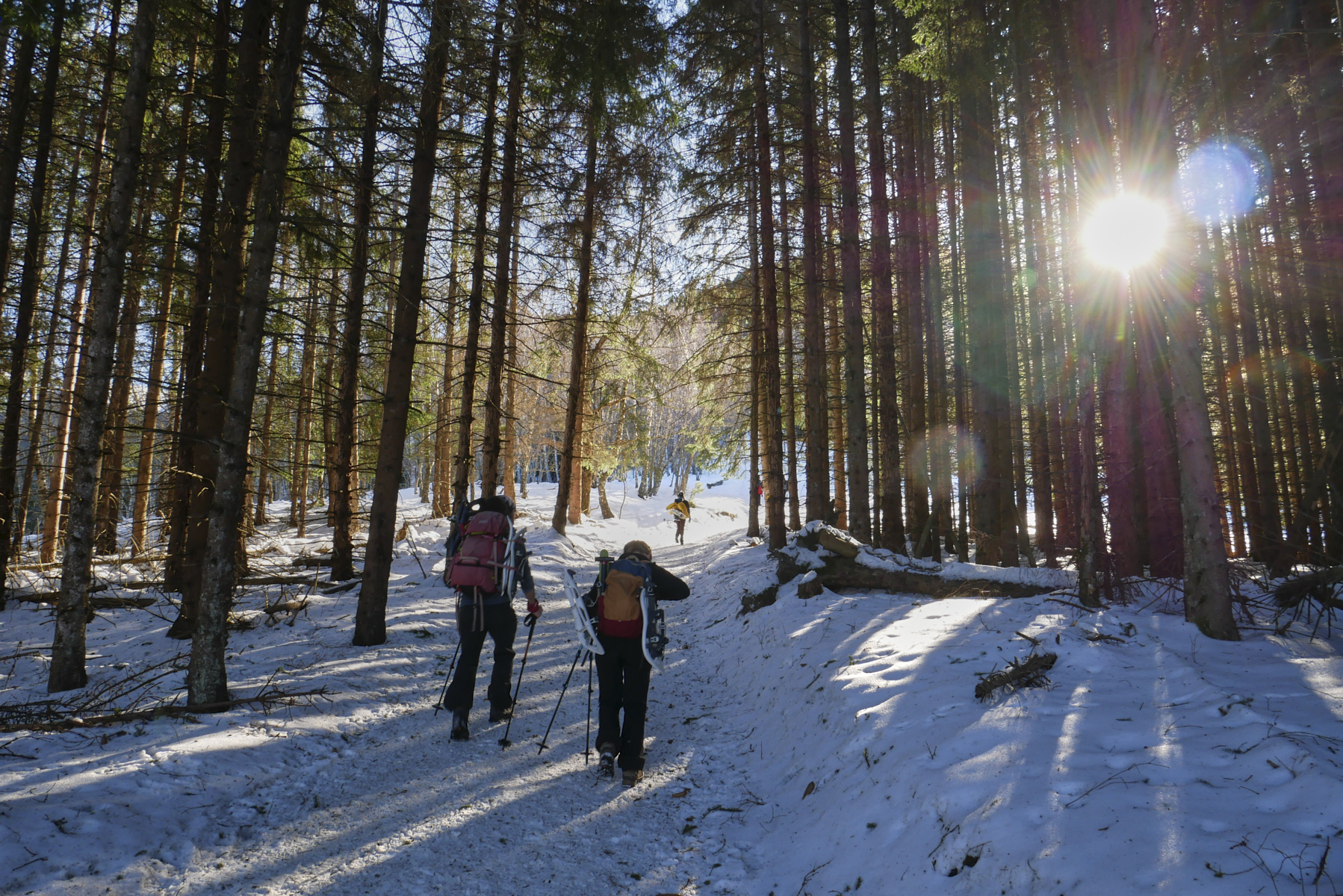
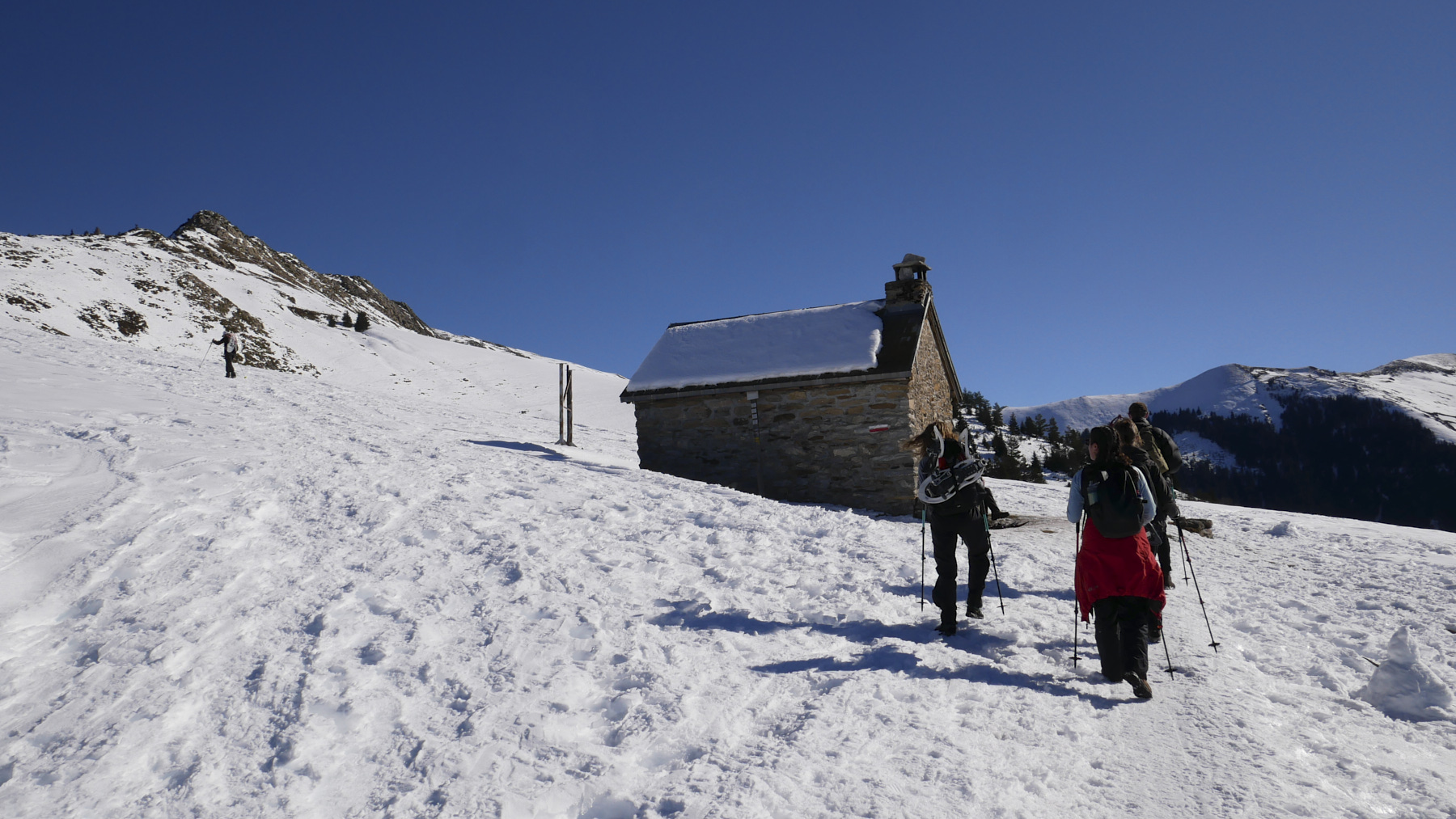
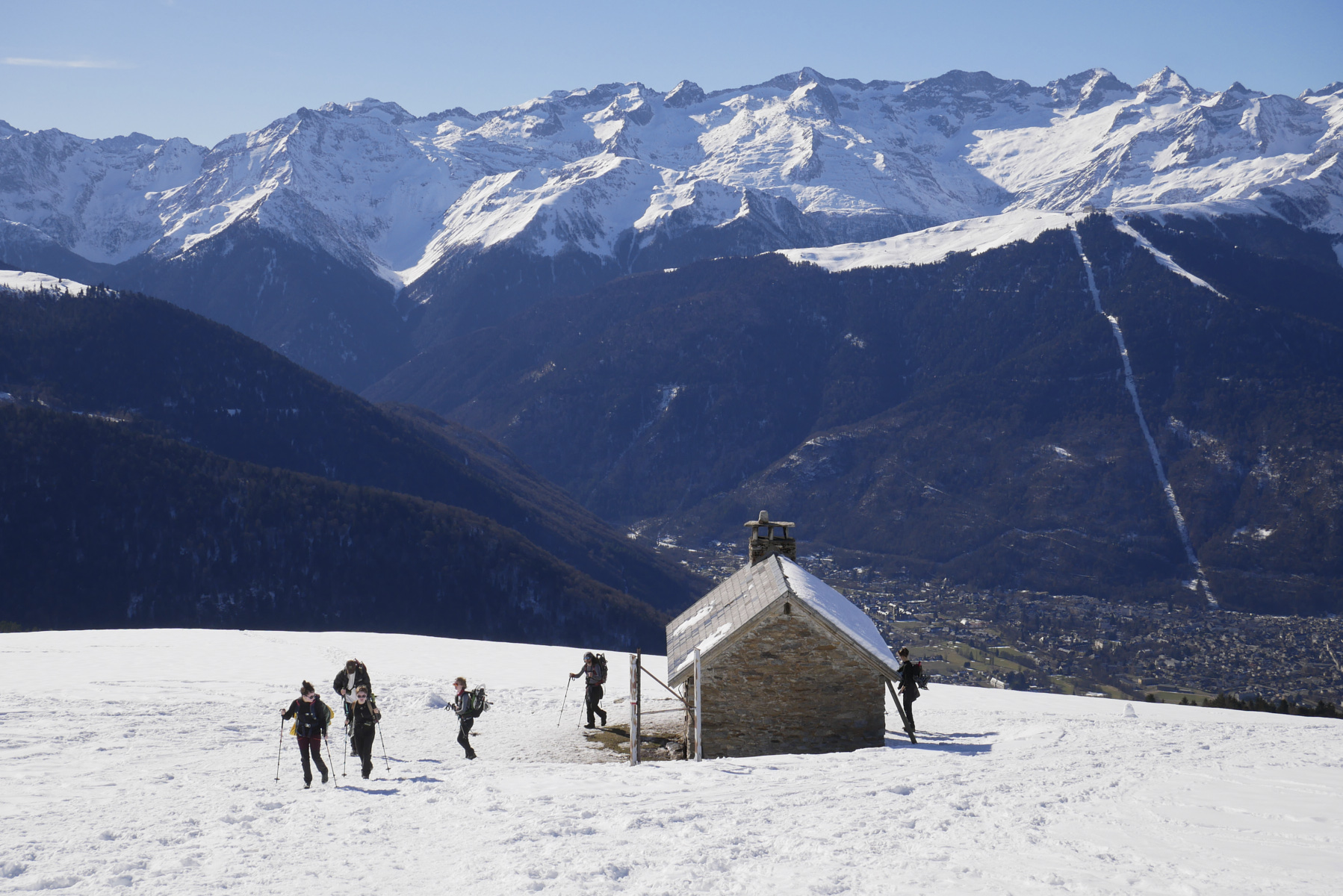
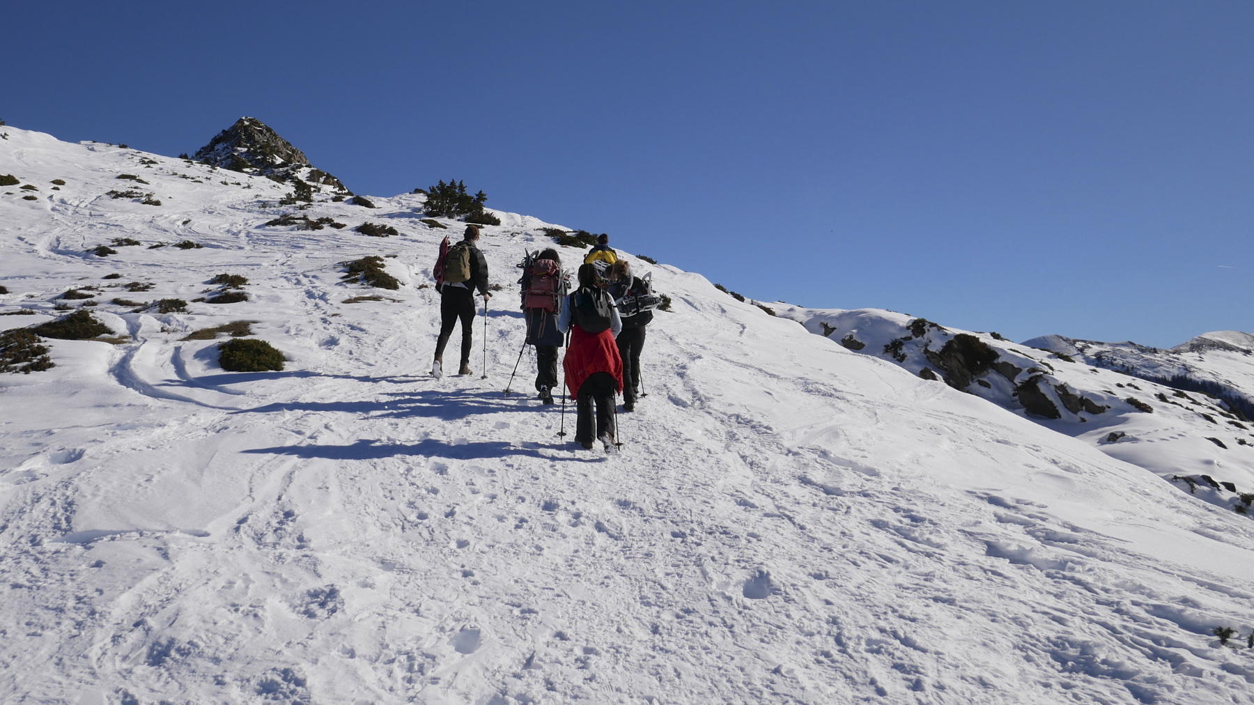
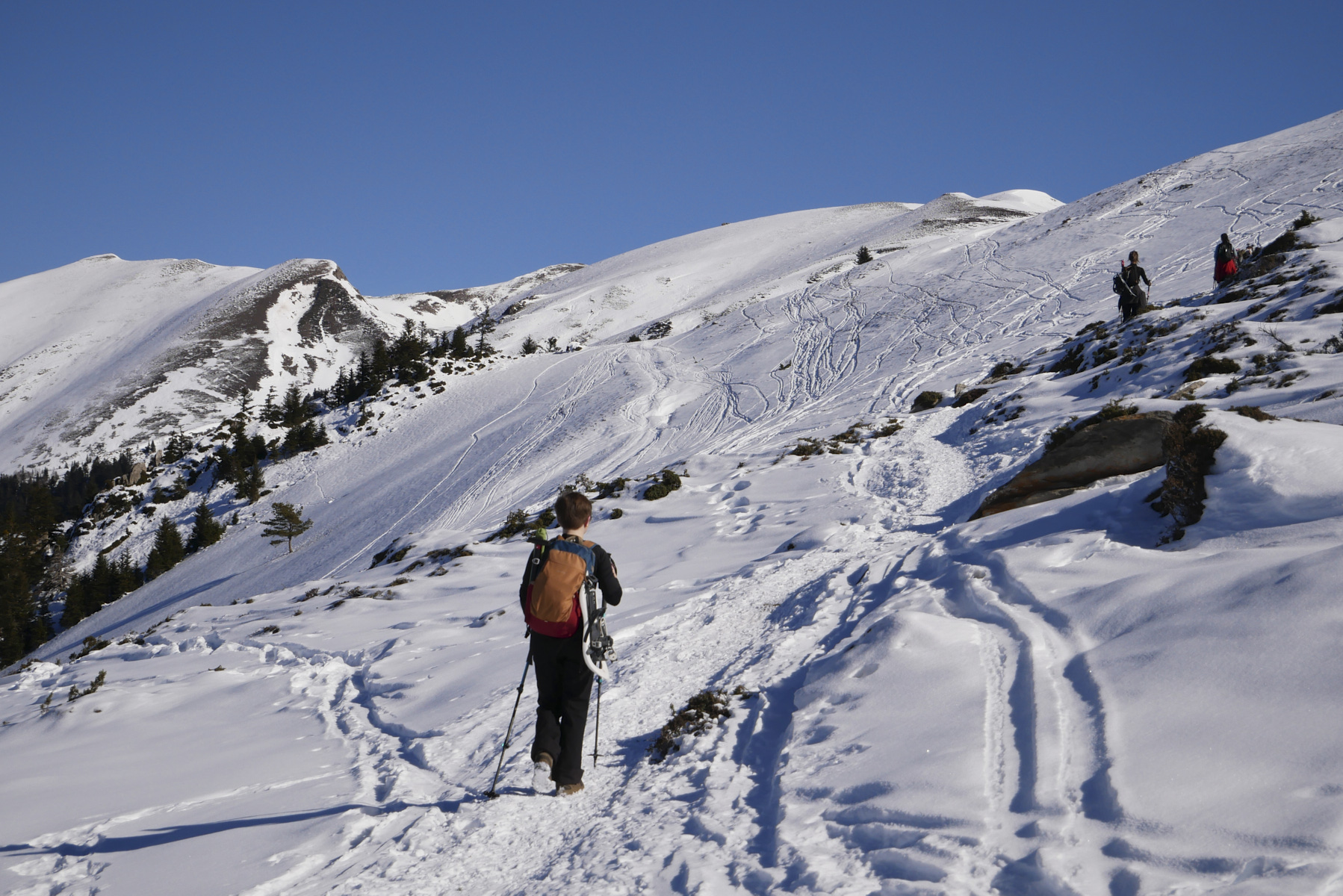
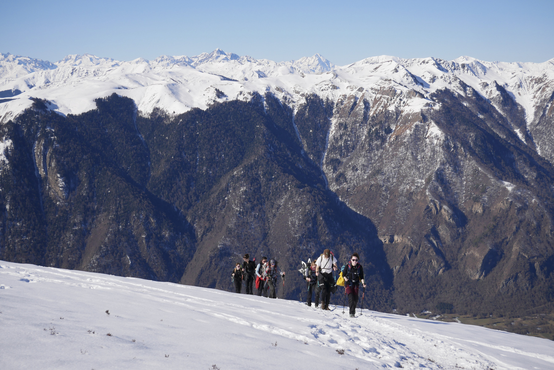
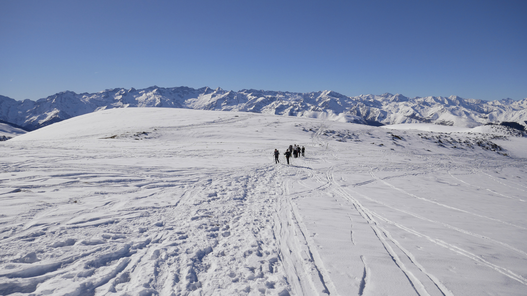
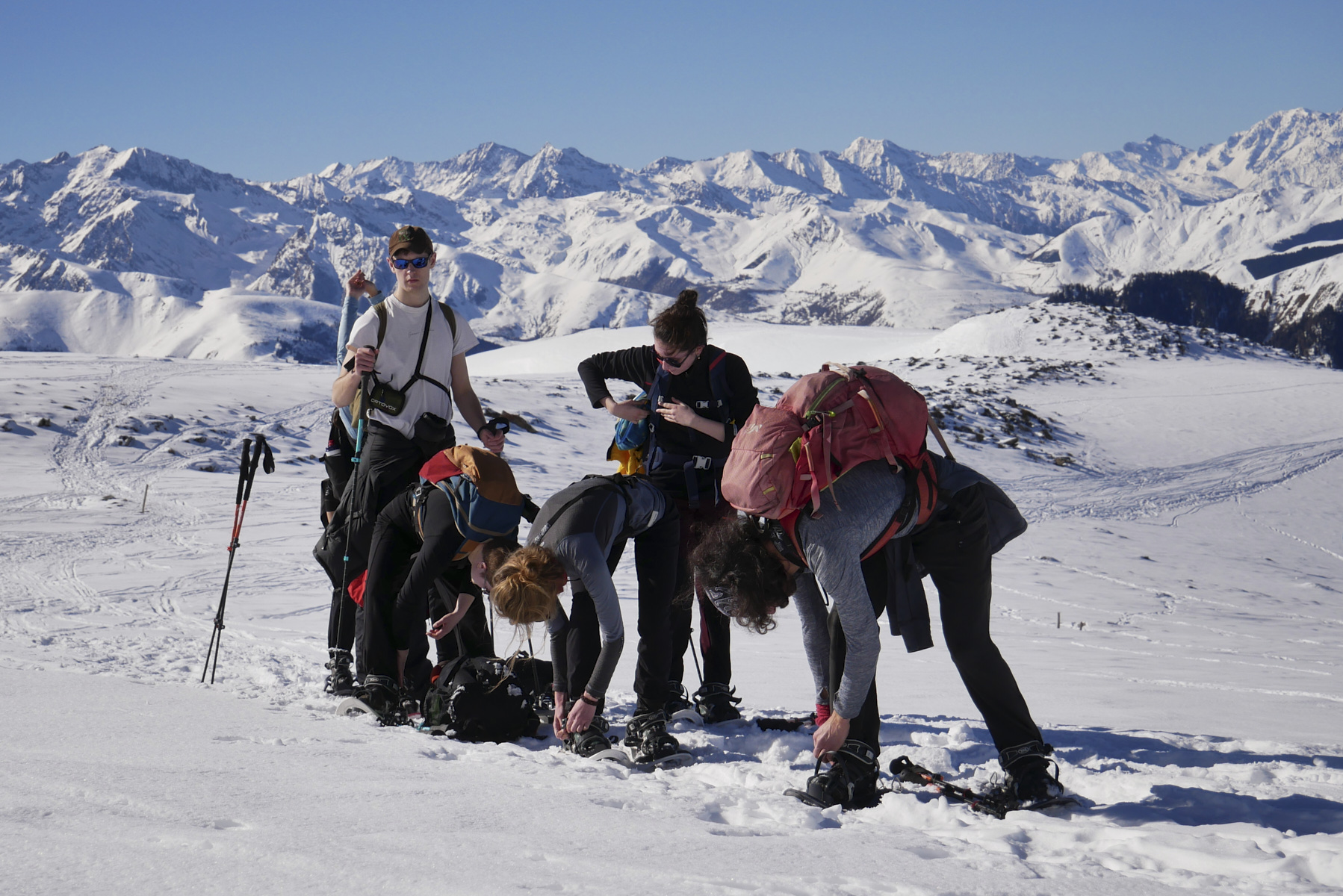
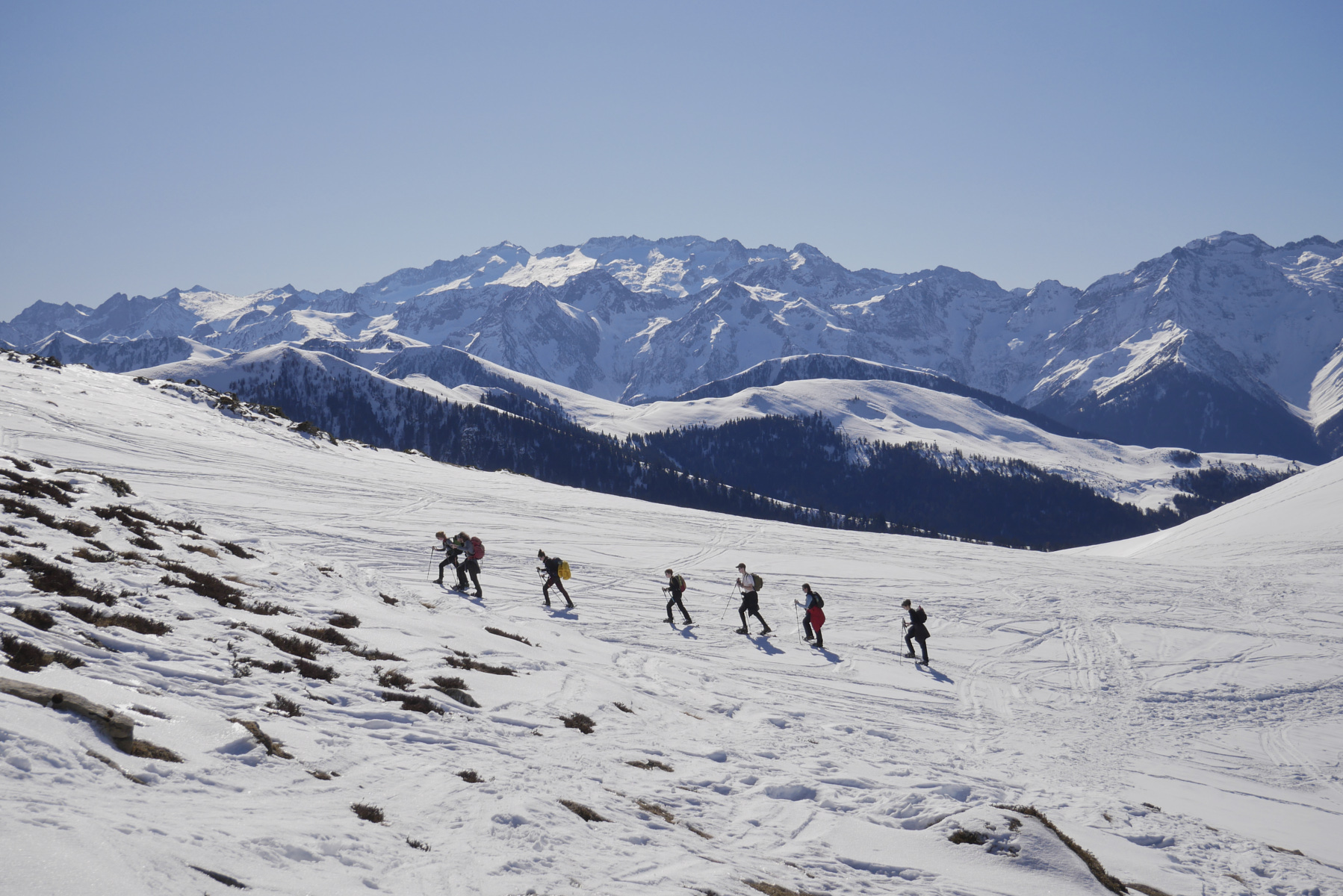
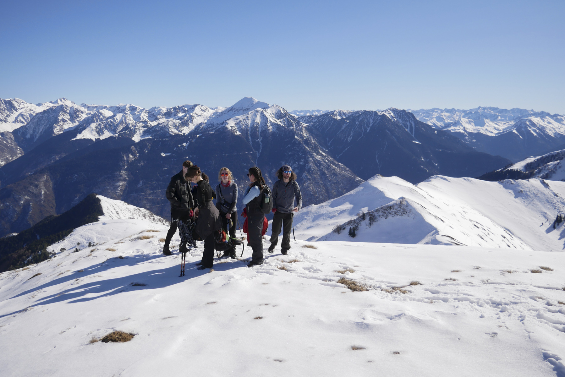
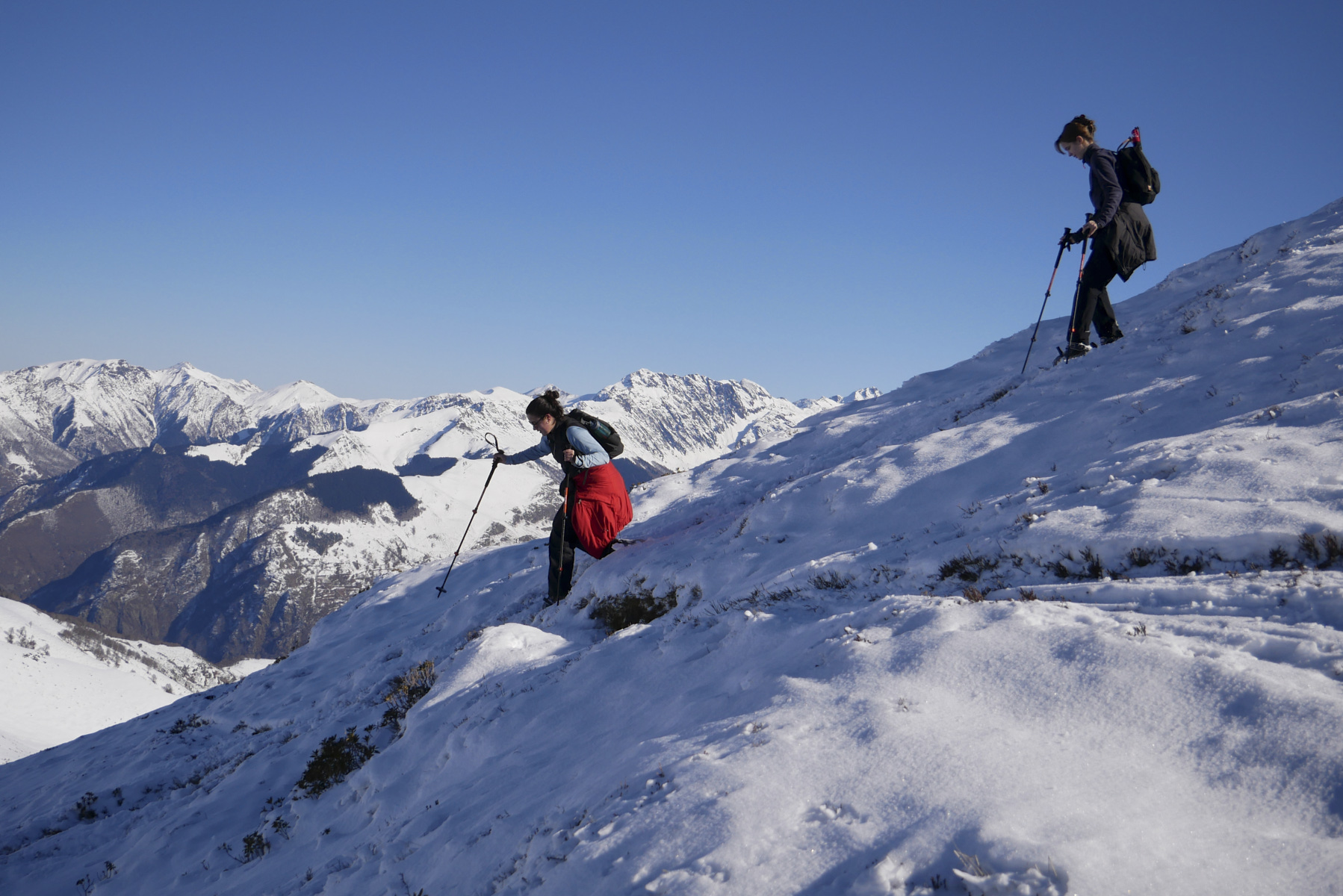
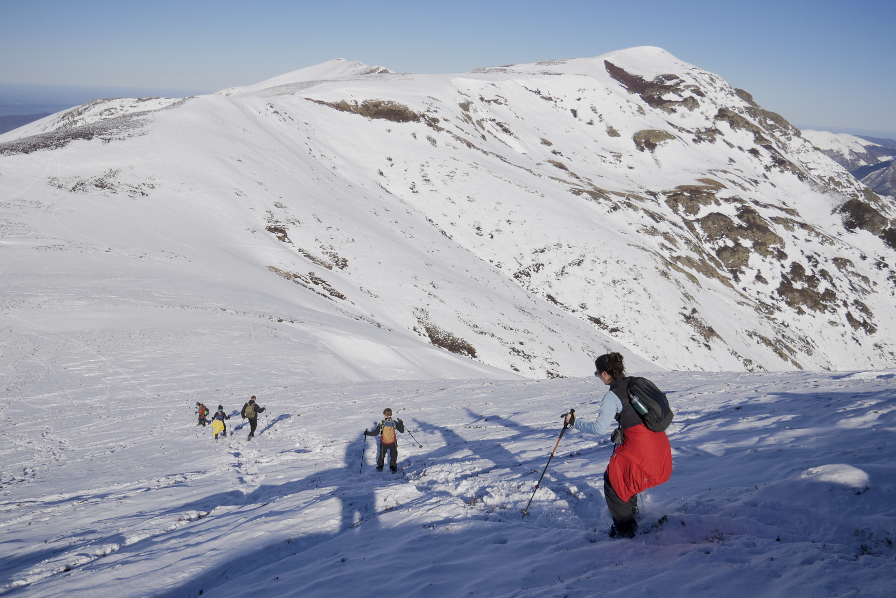
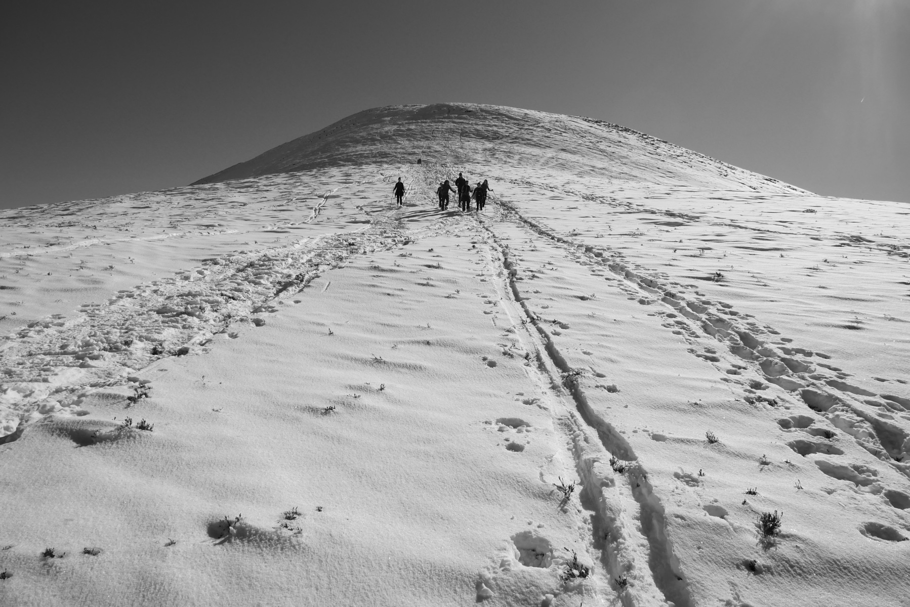
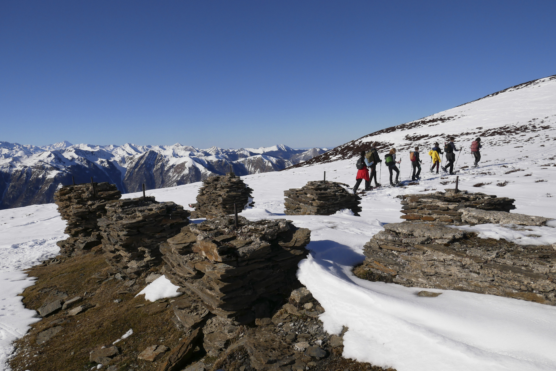
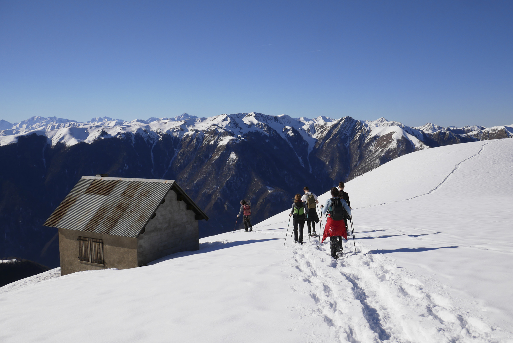
Overlooking Bagnères-de-Luchon and on the border ridge with Spain, the Plan de Montmajou snowshoe hike offers lovely aerial panoramas and some emblematic Pyrenean peaks: Maupas, Crabioules, petit and grand Quayrat, the Maladeta massif and the Aneto peak. Once above the forest, the GR10 takes you to the Cabane de Saunère, then up the Serrat de Crèspès to the summit of the Plan de Montmajou at 2081m, shortly before reaching the Pic de Bacanère, visible to the northeast. The return journey via the Cabane d'Ourdiès, a little further north, completes the loop before returning to the village of Artigue. A classic outing, popular, accessible but, depending on snow conditions, fairly long and physical.
❱❱ Technical summary
► Itinerary : Snowshoe hike. 935m ascent, 13 kilometers distance. Maximum altitude of 2081m at the summit of Plan de Montmajou.
► Geographical situation : Departure from the hamlet of Artigue, above and to the east of Bagnères-de-Luchon in Haute Garonne (31).
► Technical difficulties : The descent from the summit to the north is quite steep, also to reach the Ourdiès hut.
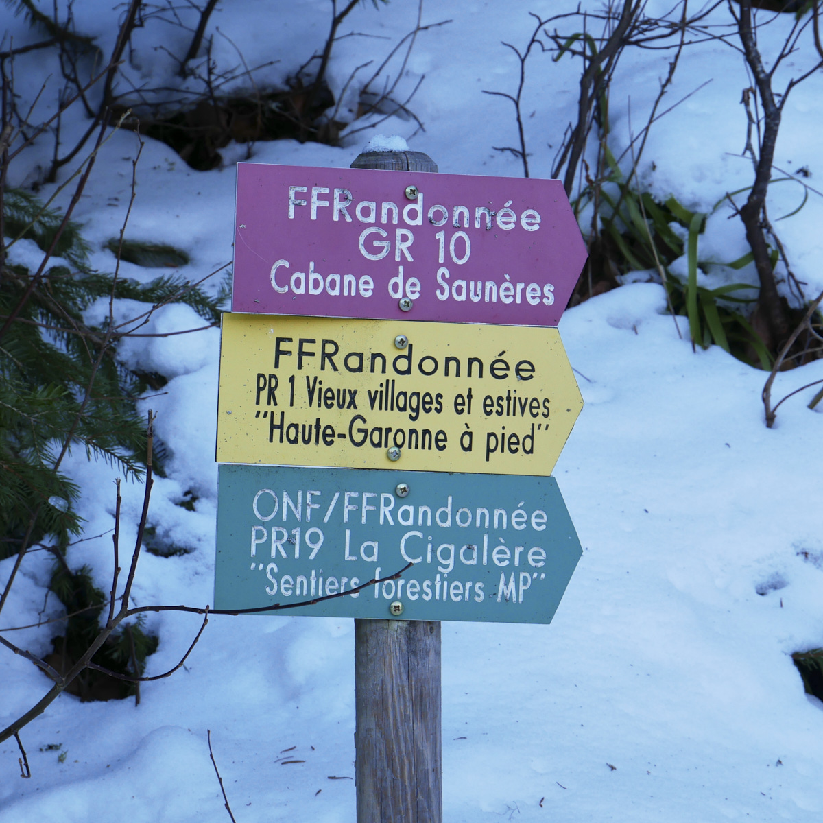
► Orientation : Orientation on the way up is straightforward, as you follow the GR10. The return journey is a little more ad hoc, but not too difficult.
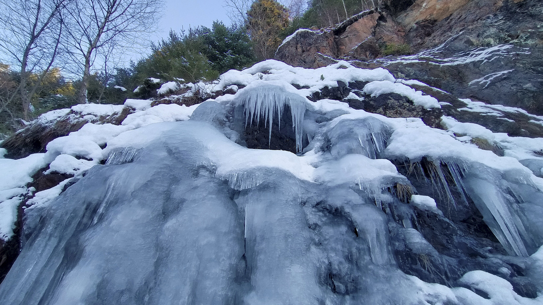
► Field and environnement : Bottom of hike in forest, rest on ridge, potentially exposed to wind.
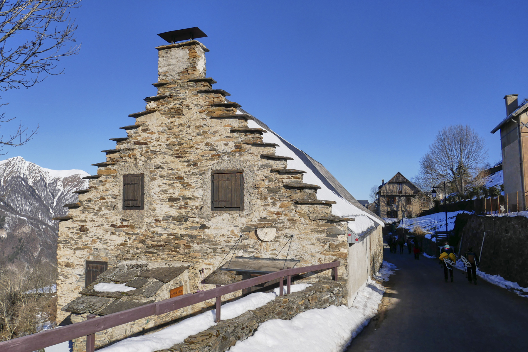
► General review : A classic outing, popular, accessible but, depending on snow conditions, fairly long and physical. Beautiful panoramas and the authentic village of Artigue.
❱❱ Access to the place
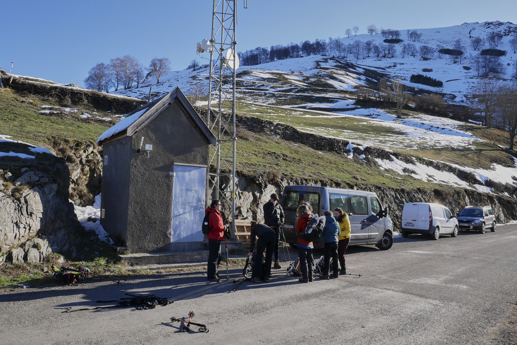
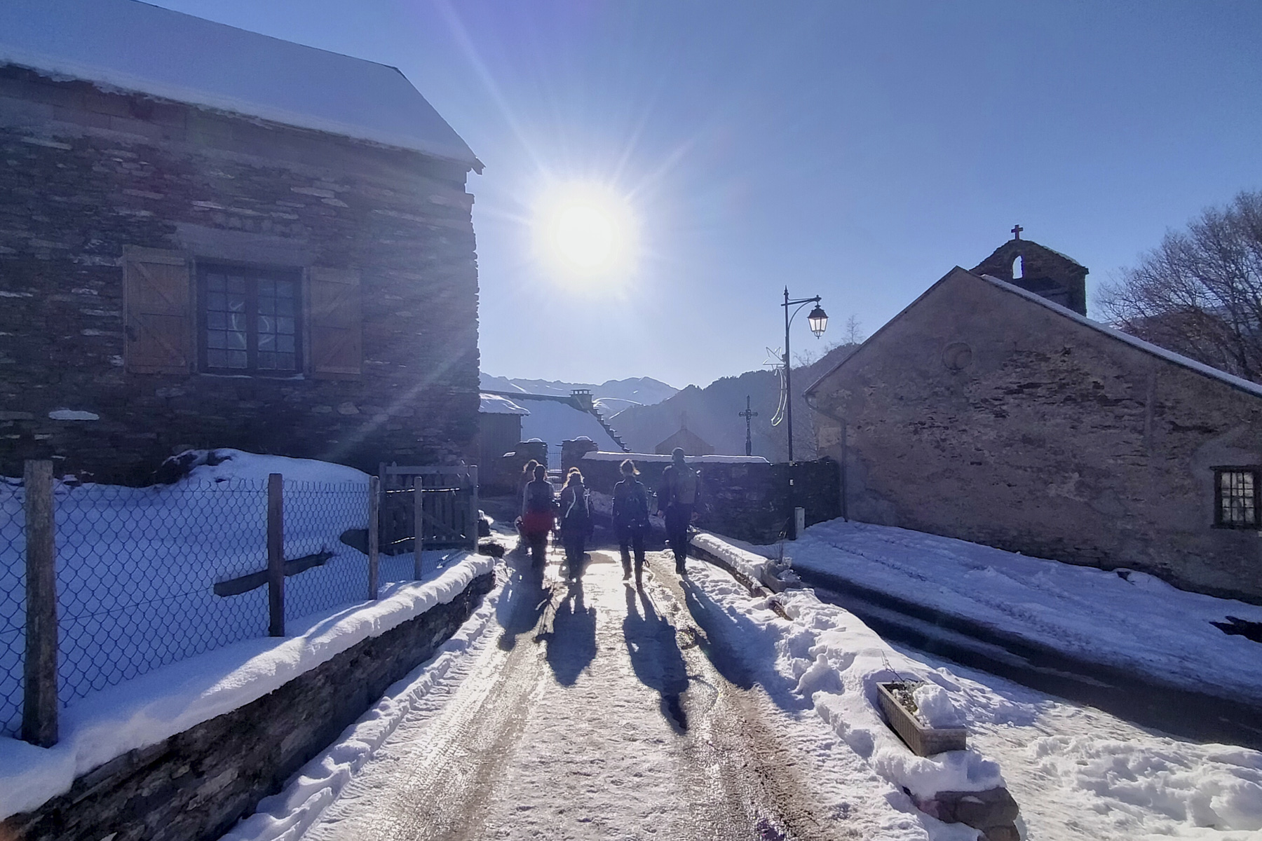
Just before Bagnères-de-Luchon, at Juzet-de-Luchon, climb up the west-facing slope on the D46 towards Sode and continue on the minor road to Artigue. Park at the last bend before the village in the hikers' parking lot. Starting altitude 1220m. There is a viewpoint and an orientation table facing south.
❱❱ Map & topo
The descent route from the summit to the cabane d'Ourdiès and the junction with the piste is indicative.
Voir en plein écran❱❱ Itinéraire
From the parking lot, walk along the road through the village of Artigue. On the other side, there's another parking lot. Cross it on the way up and continue on the GR10. This is a wide, winding track that climbs due east through the forest until you reach the upper track and the fork in the road: on the left is the return path, on the right the track climbs due south through the forest.
Take the GR10 down the track and the big hairpin bends to the village of Artigue and then to the starting parking lot.
Topo of the same loop on rando-marche.fr


Leave a Reply