TOPO
Cala San Pedro from Las Negras, Cabo de Gata
Hiking
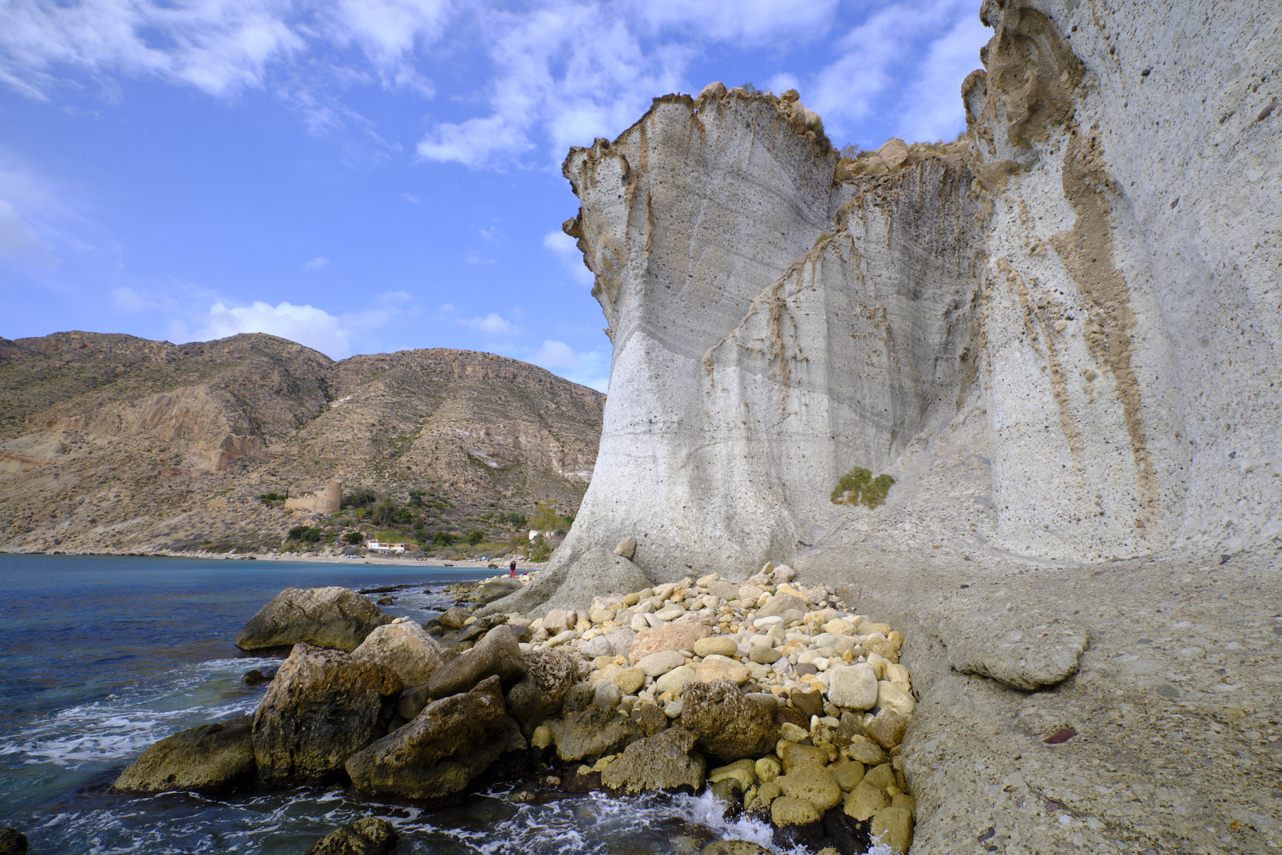
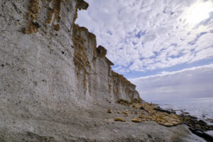
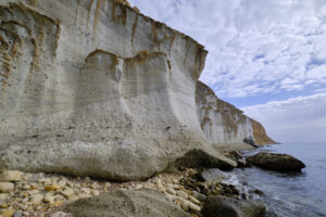
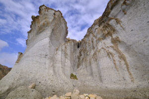
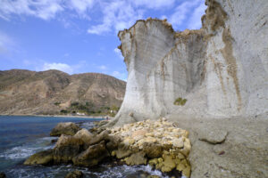
Sous les falaises blanches de la Cala San Pedro
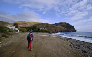
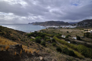
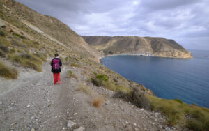
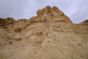
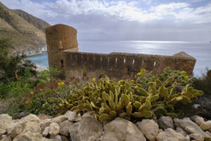
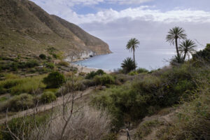
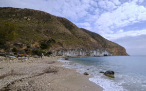
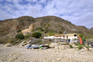
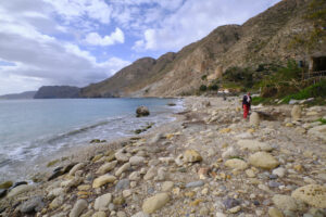
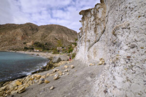
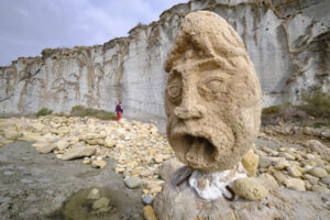
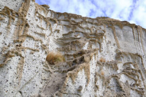
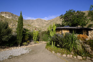
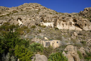
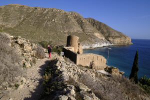
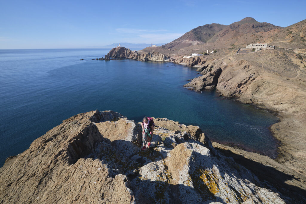
A sunny winter in the colors of the South: the excursion to Cala San Pedro is a Cabo de Gata classic. Departing from Las Negras, the itinerary winds its way up the Andalusian coast along paths overlooking the Mediterranean, before descending quietly to the small cove, formerly a haven for pirates and privateers, due to its isolation and the presence of Cabo de Gata's only freshwater spring. We then discover the ruins of a 16th-century fortification used to defend the area from pirate invasions, a magnificent little protected beach and, on the left, incredible white cliffs sculpted and hemmed in stone. The site has since been taken over by a tribe of hippies who have built an alternative village, mainly scattered in the small valley that stretches out behind the cala. The hike, which is very accessible, is of course well-frequented, but well worth the detour, especially on a sunny day in a mild winter, far from the sweltering heat of summer.
Technical summary
■ Departure point: Las Negras, Cabo de Gata, Andalusia, Spain
■ Type of route: out-and-back coastal hike
■ Distance: 12 km
■ Cumulative elevation gain: +265 m
■ Cumulative negative elevation gain: -265 m
■ Estimated total time: 3h to 4h
■ Min and max altitude: 0 m / 100 m
■ Beaconing: blue and white but rather unobtrusive, few beacons visible along the way. However, the trail is obvious and the access path well marked.
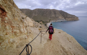
■ Equipment in place: a small section equipped with a rope on the way down to the village.
■ Equipment required: none
Difficulties: not really, only the final descent path is a little steeper and narrower.
Access to the place
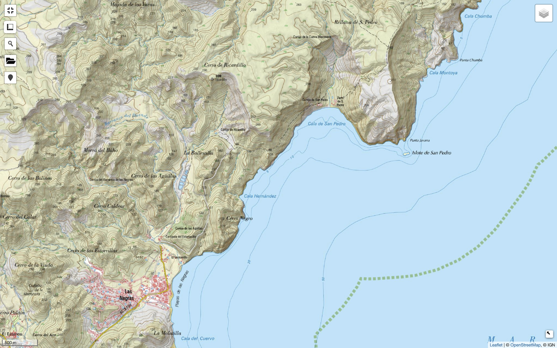
Go to the village of Las Negras, in the north-east of the Cabo de Gata Natural Park in Andalusia. Park in the village parking lot, just behind the seafront.
Itinerary description
Part 1: from Las Negras to Cala San Pedro
Join Calle de las Agüllas, where the route to Cala San Pedro officially begins, and follow it out of the village to the start of the track marked in white and blue. Or, alternatively, go up the beach to the end and exit on a track that returns between the reeds to find the end of the Calle de las Agüllas almost level with the start of the track.
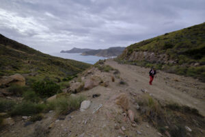
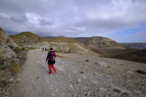
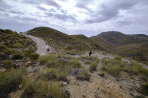
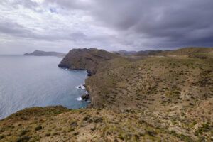
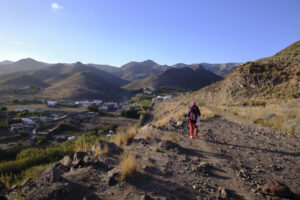
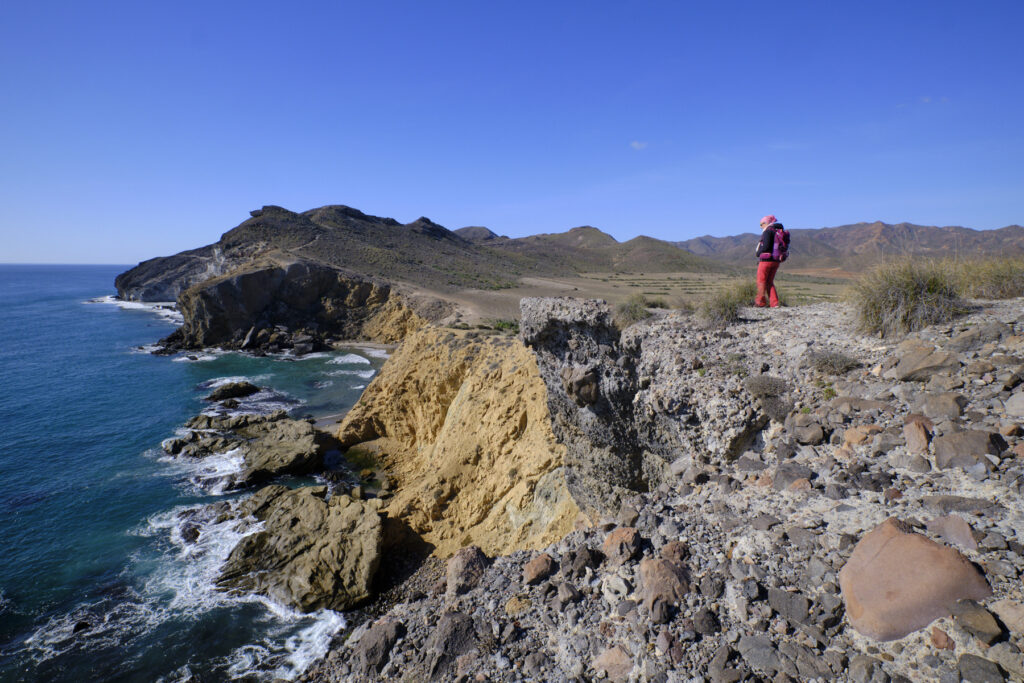
Climb the track gently to rise above Las Negras and continue to the foot of Cerro Negro. The trail crosses a pass and then extends over a long, flat crossing above a valley. After this crossing, the track stops. Continue on the main trail, which heads east, always more or less flat, over a shoulder and then bends to the northeast, descending slightly. You soon get the first plunging views of the bay of Cala San Pedro, the ruined fort and the splendid white cliffs above the water to the right of the beach.
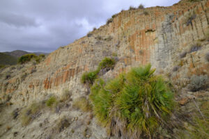
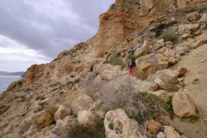
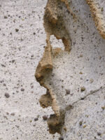
The path continues to descend, following the contours of the landscape, passing under beautiful yellow and red rock formations before reaching the ruined fort and, further down, the sandy and pebbly beach. You can follow the beach to the left, to come out under the white cliff, which offers original views of the hems carved into the stone.
Part 2: Exploring the valley floor
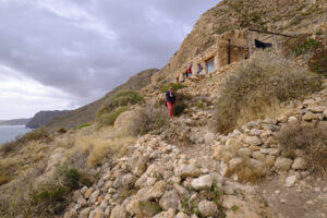
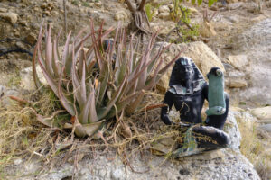
This is a return trip. Follow one of the footpaths as it heads north, passing small dwellings built here and there from stone, a little wood and a few salvaged materials. The main trail goes up quite a way, to the bottom, where there's one last house built under a small, dripping white cliff.
Part 3: back to las Negras
Return to the ruined fort and follow the path up to the track. This leaves the path back to Las Negras.












Leave a Reply