


TOPO Hiking | CLIMBING7.COM
Publié le
 Partager sur WhatsApp
 Partager sur Twitter
Partager sur Instagram
Partager sur Twitter
Partager sur Instagram

 Partager sur Facebook
 Imprimer le topo
 Laisser un commentaire
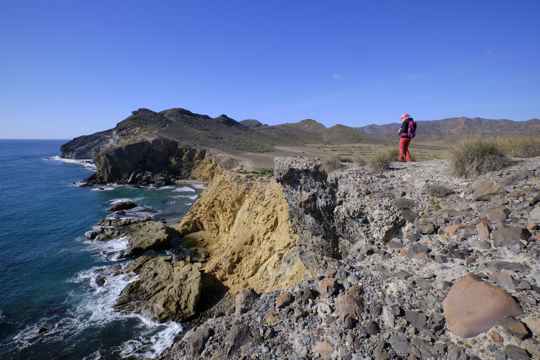
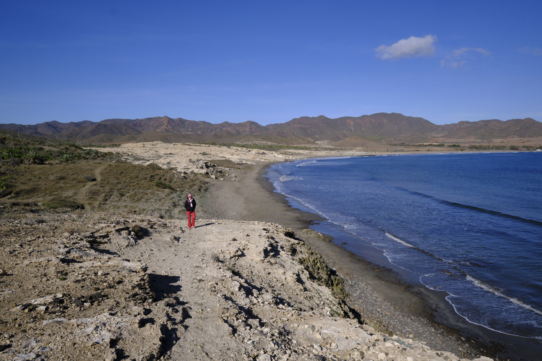
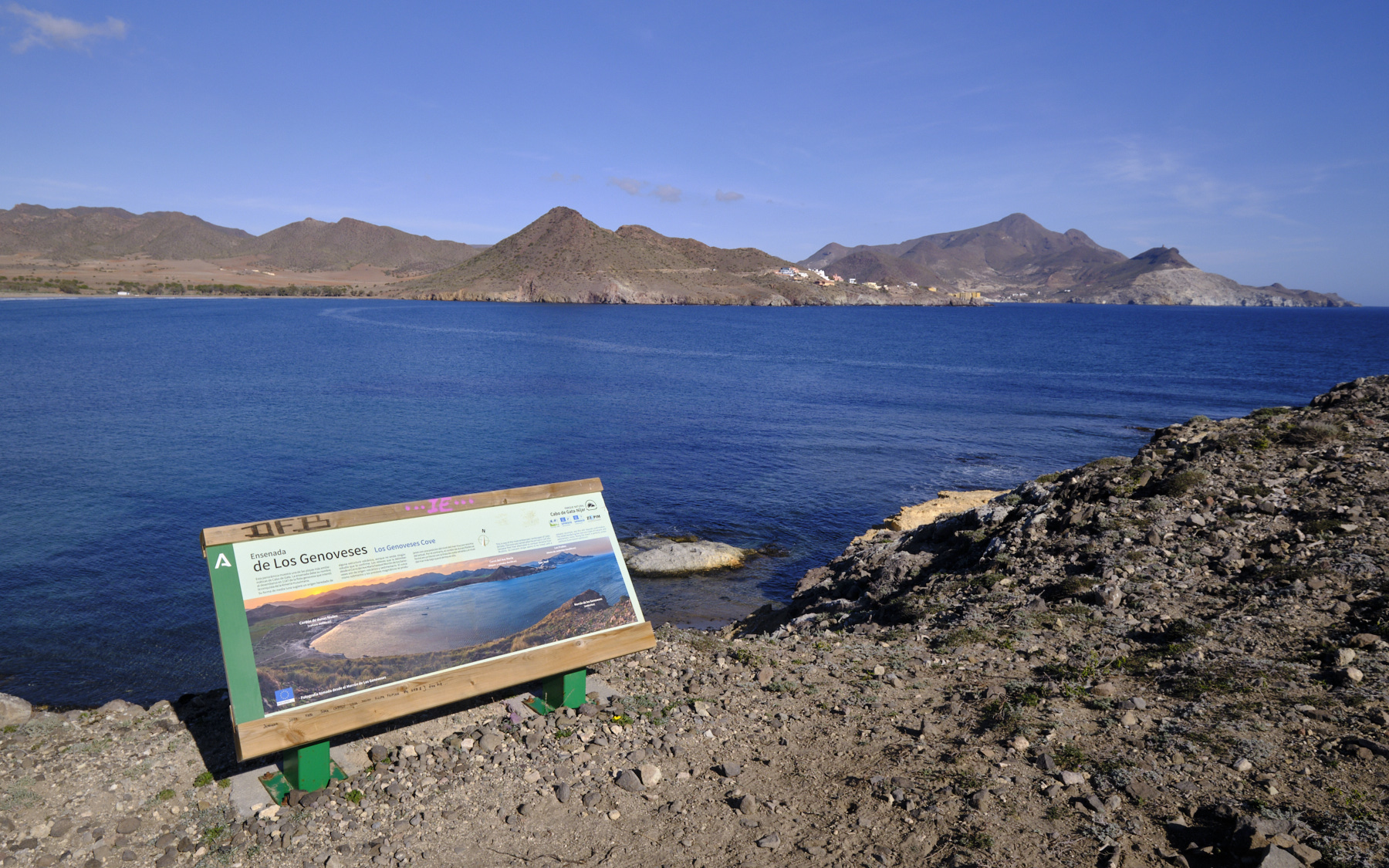
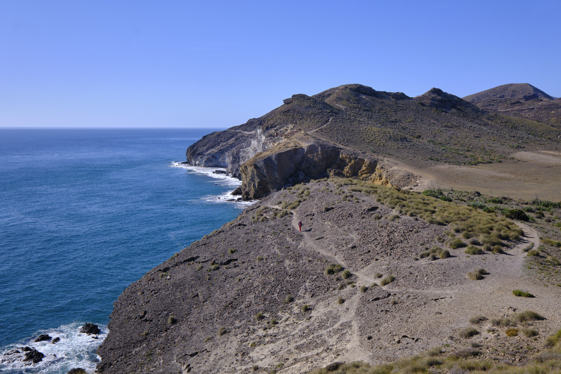
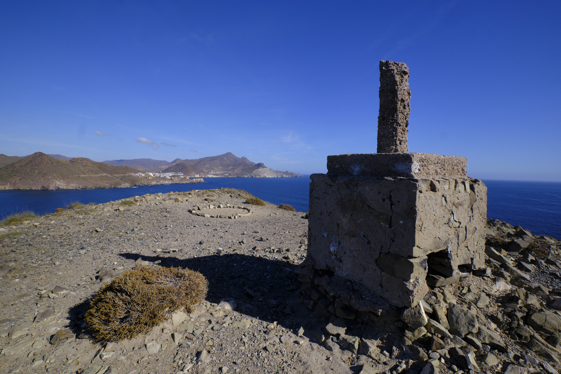
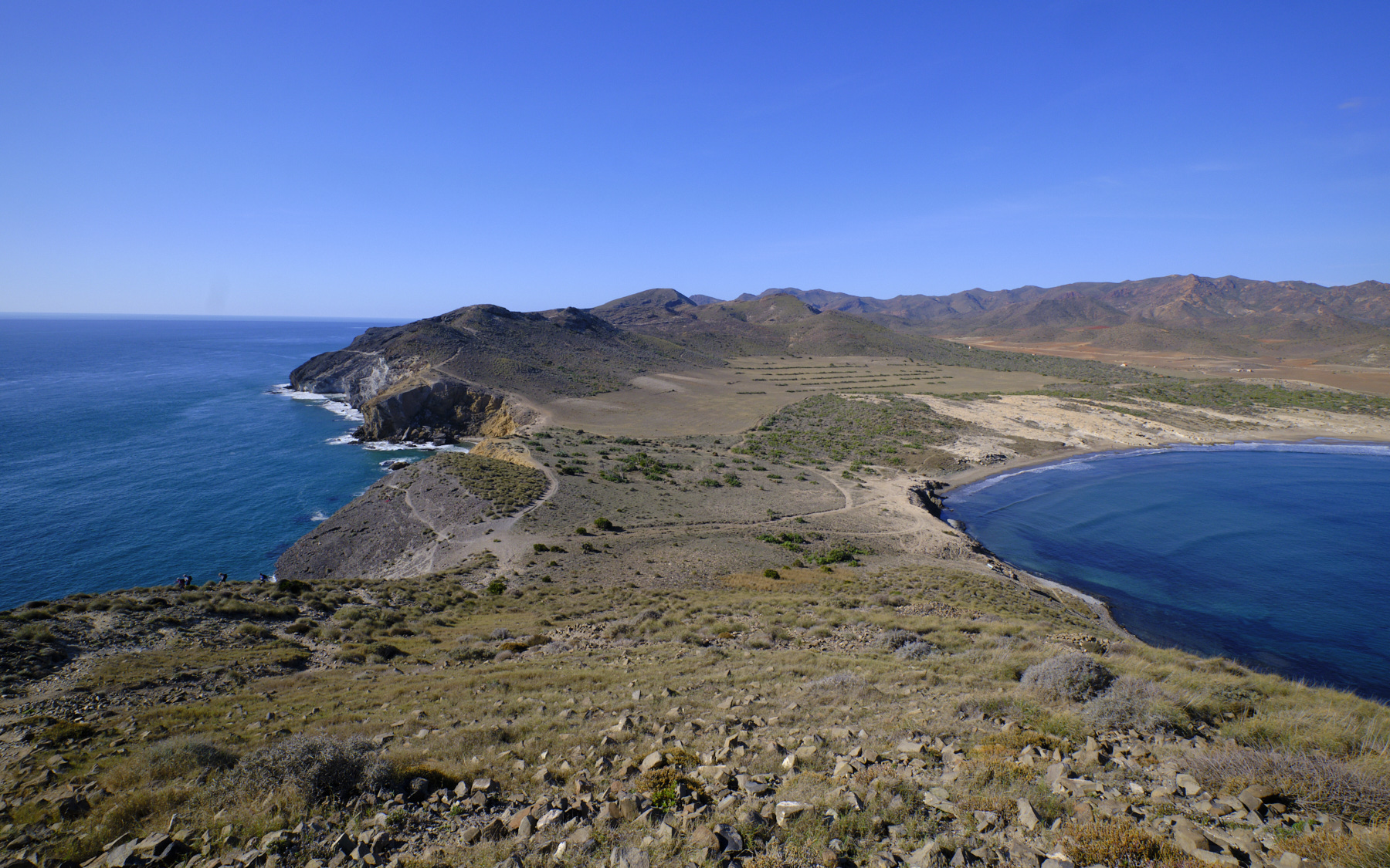
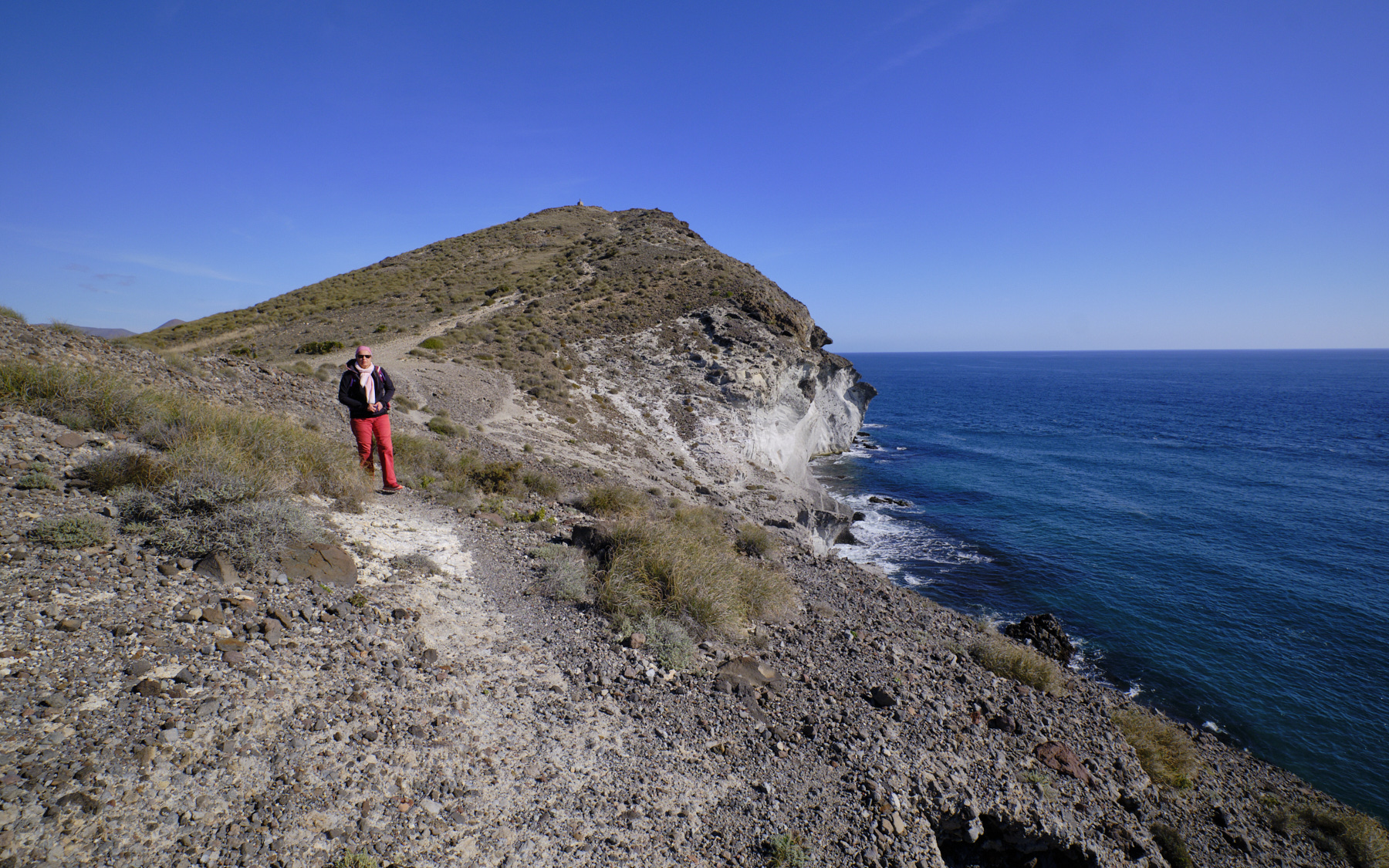
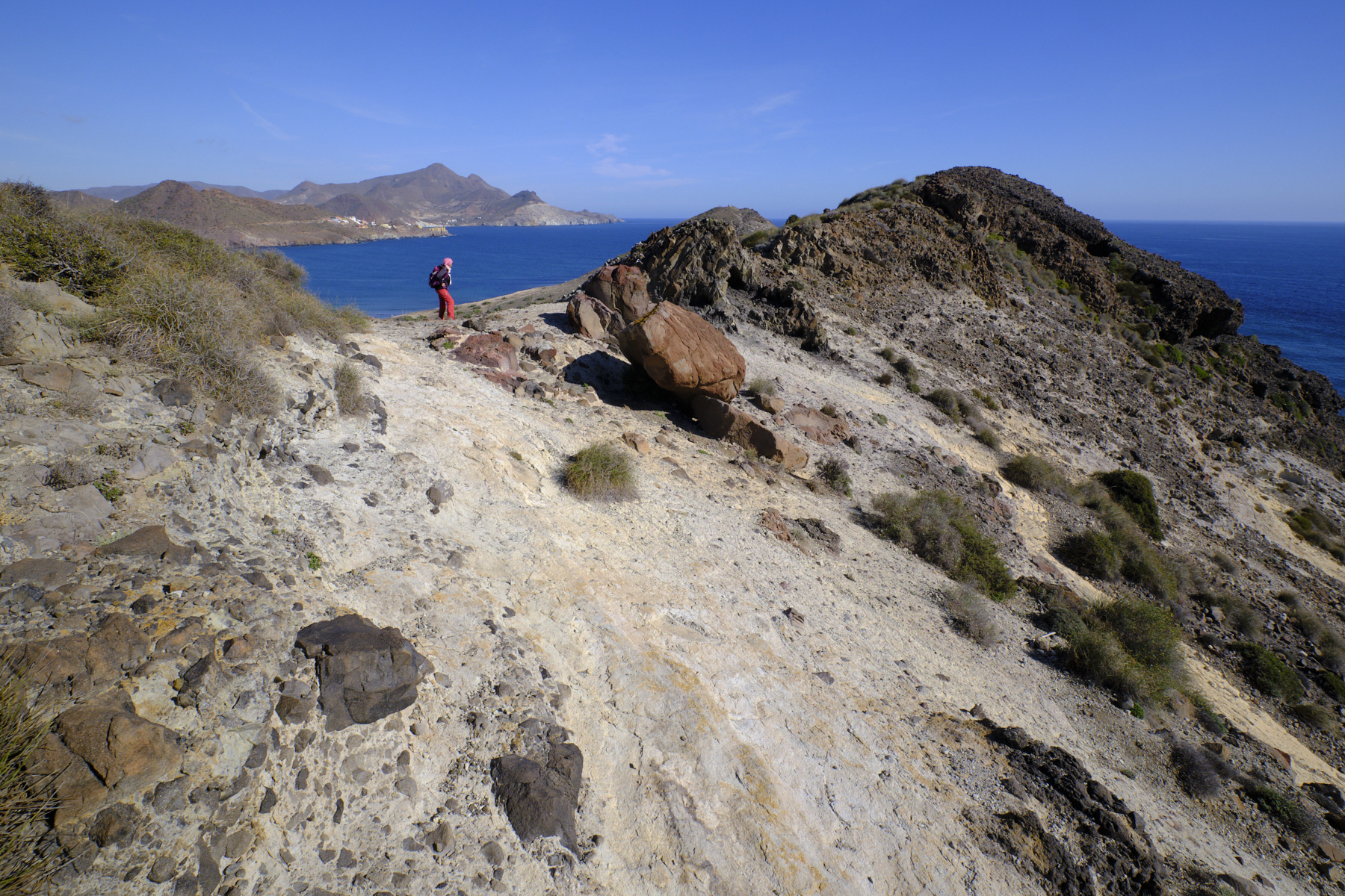
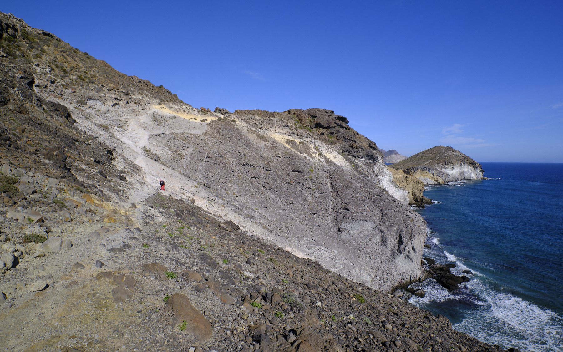
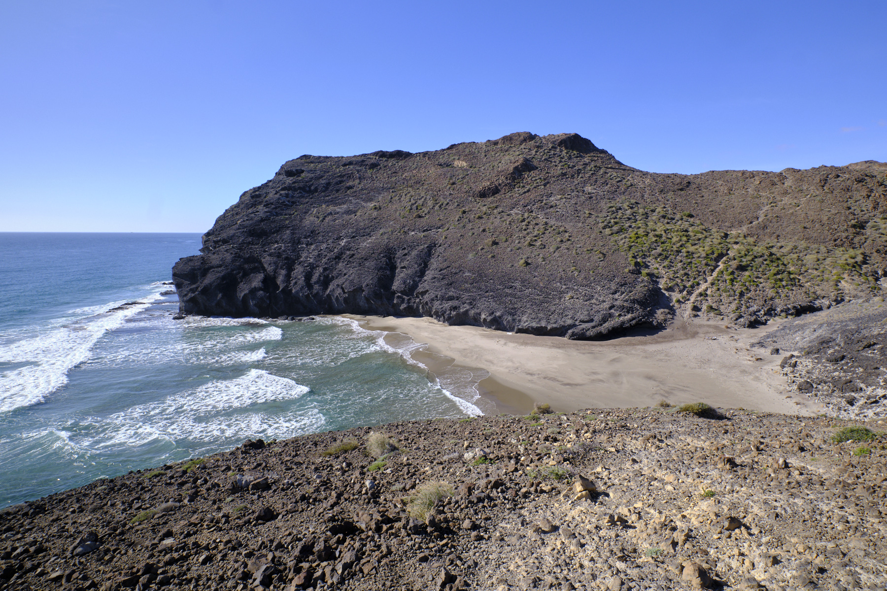
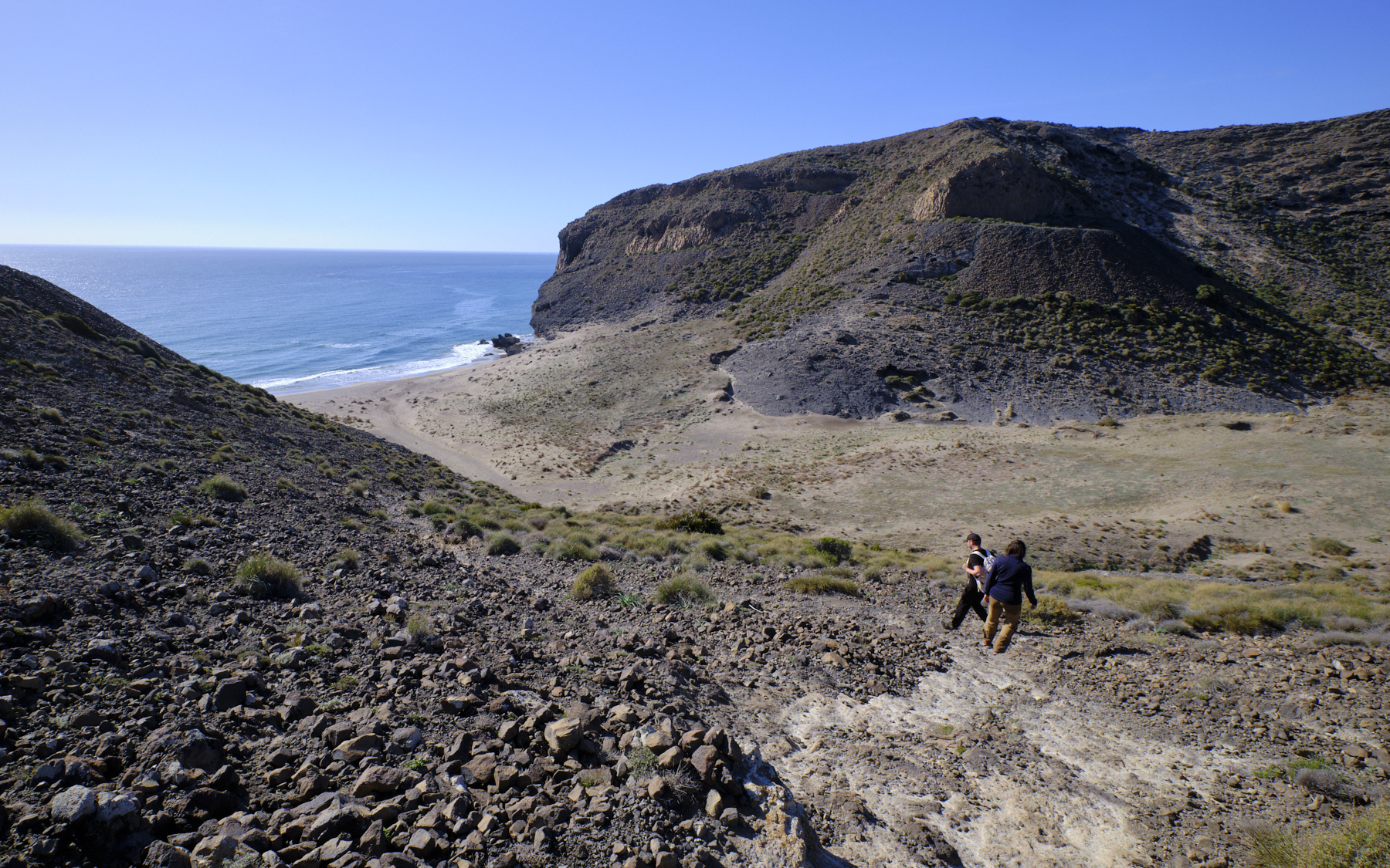
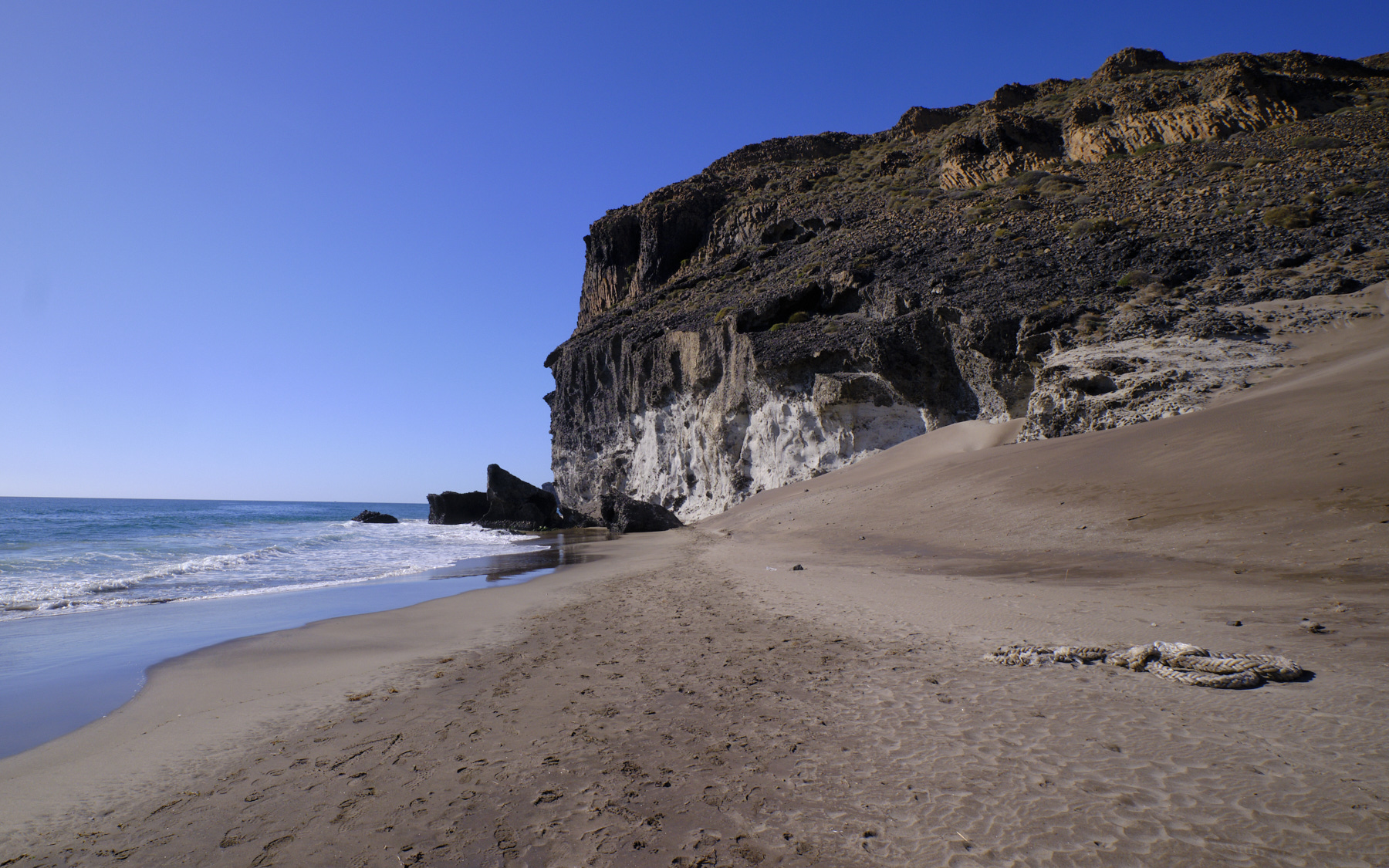
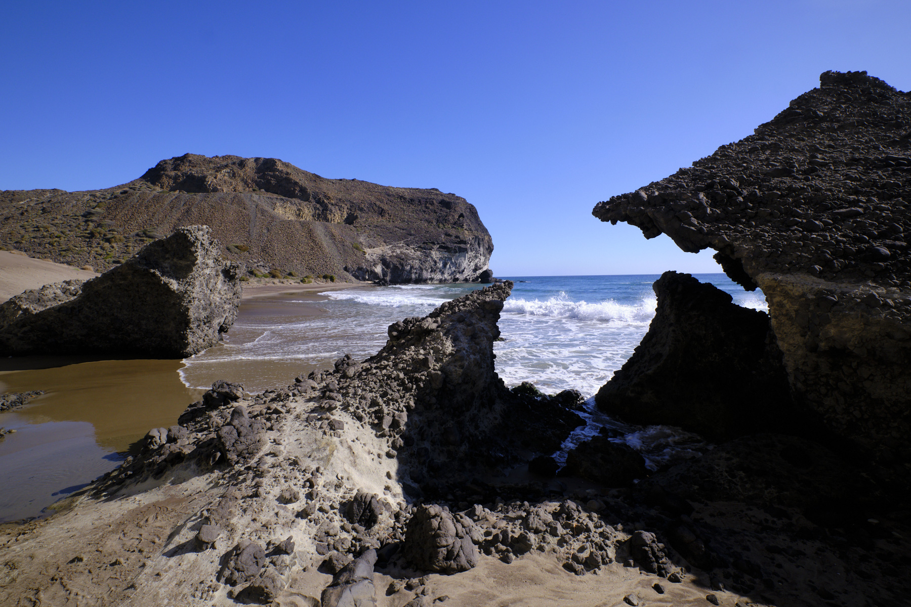
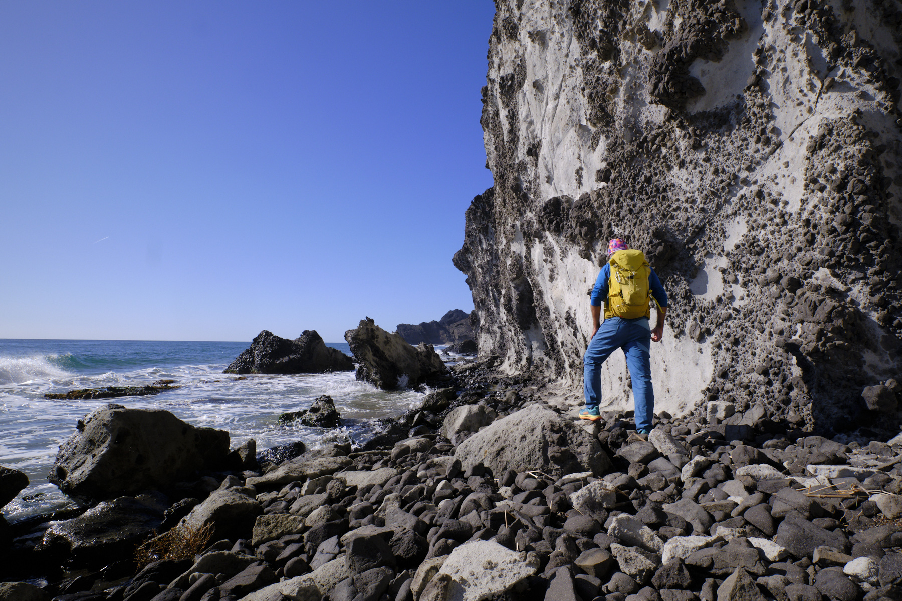
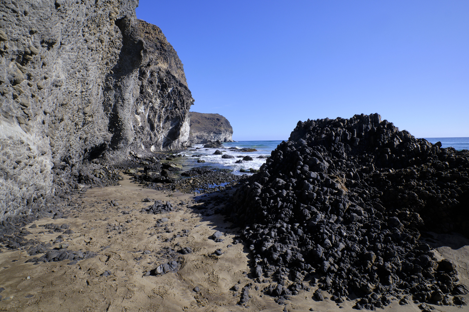
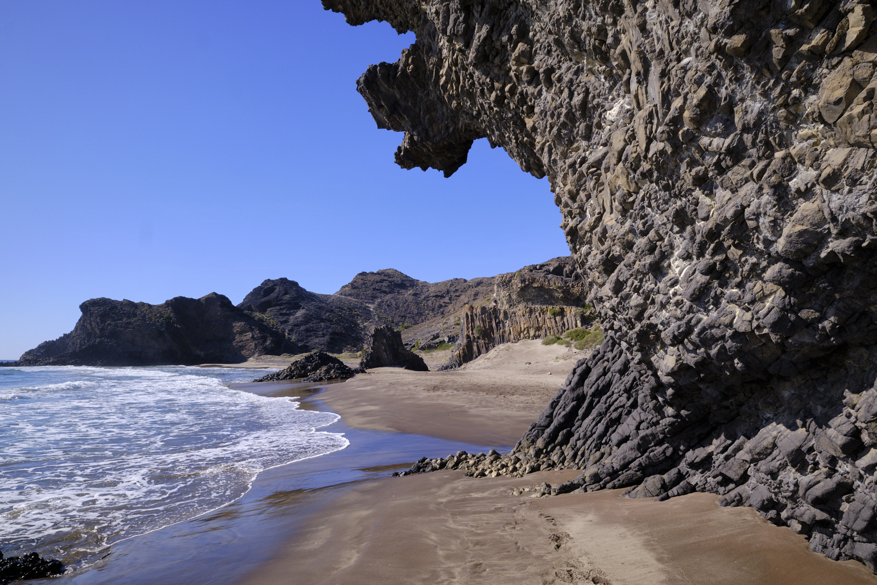
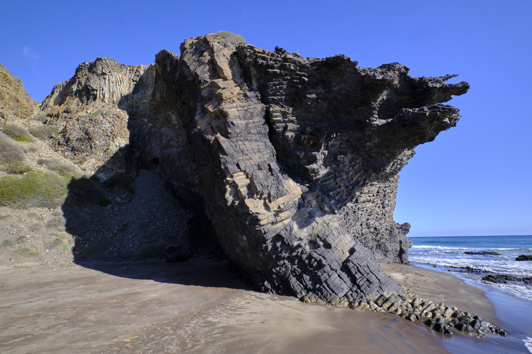
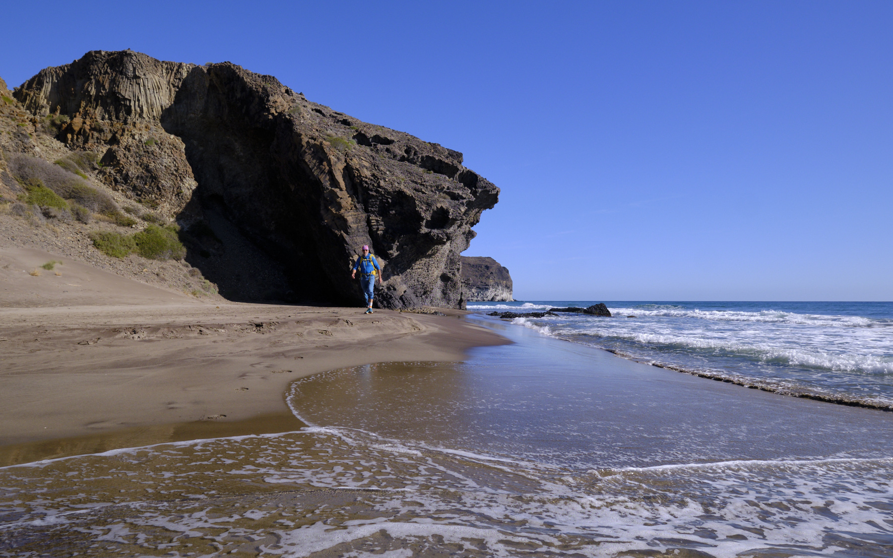
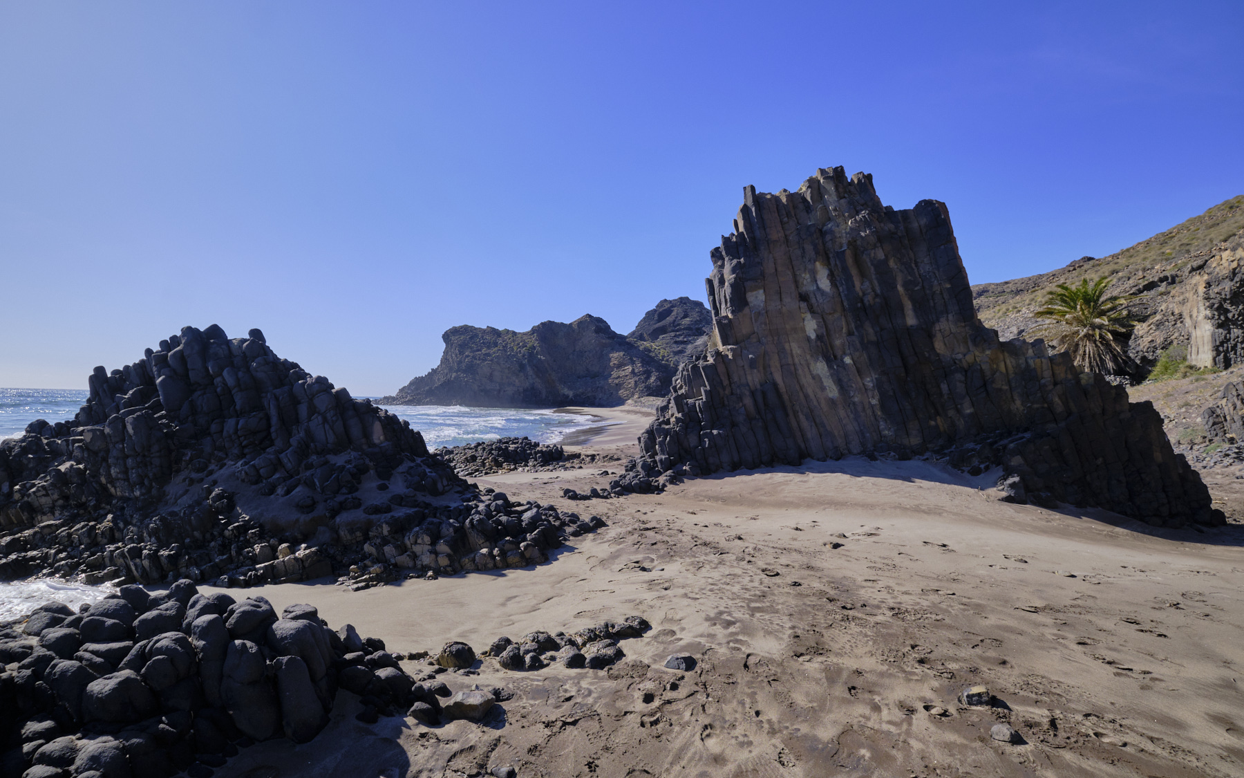
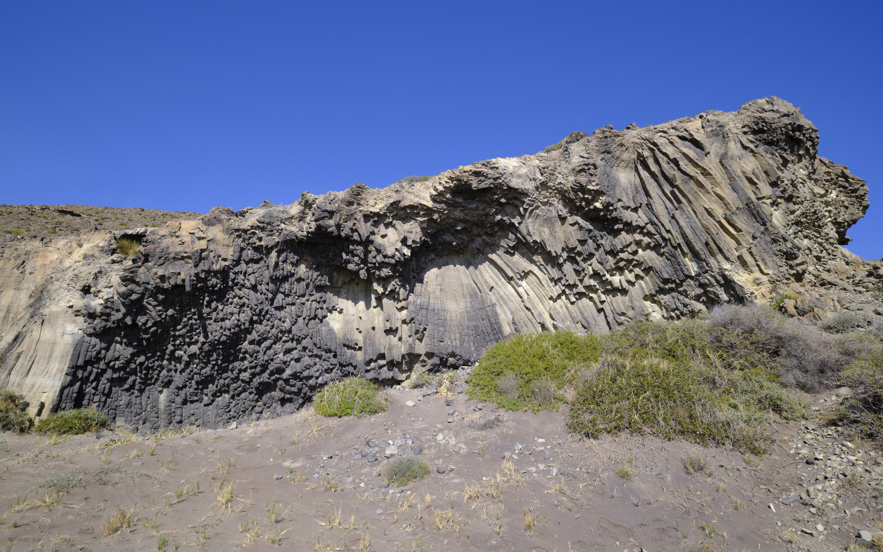
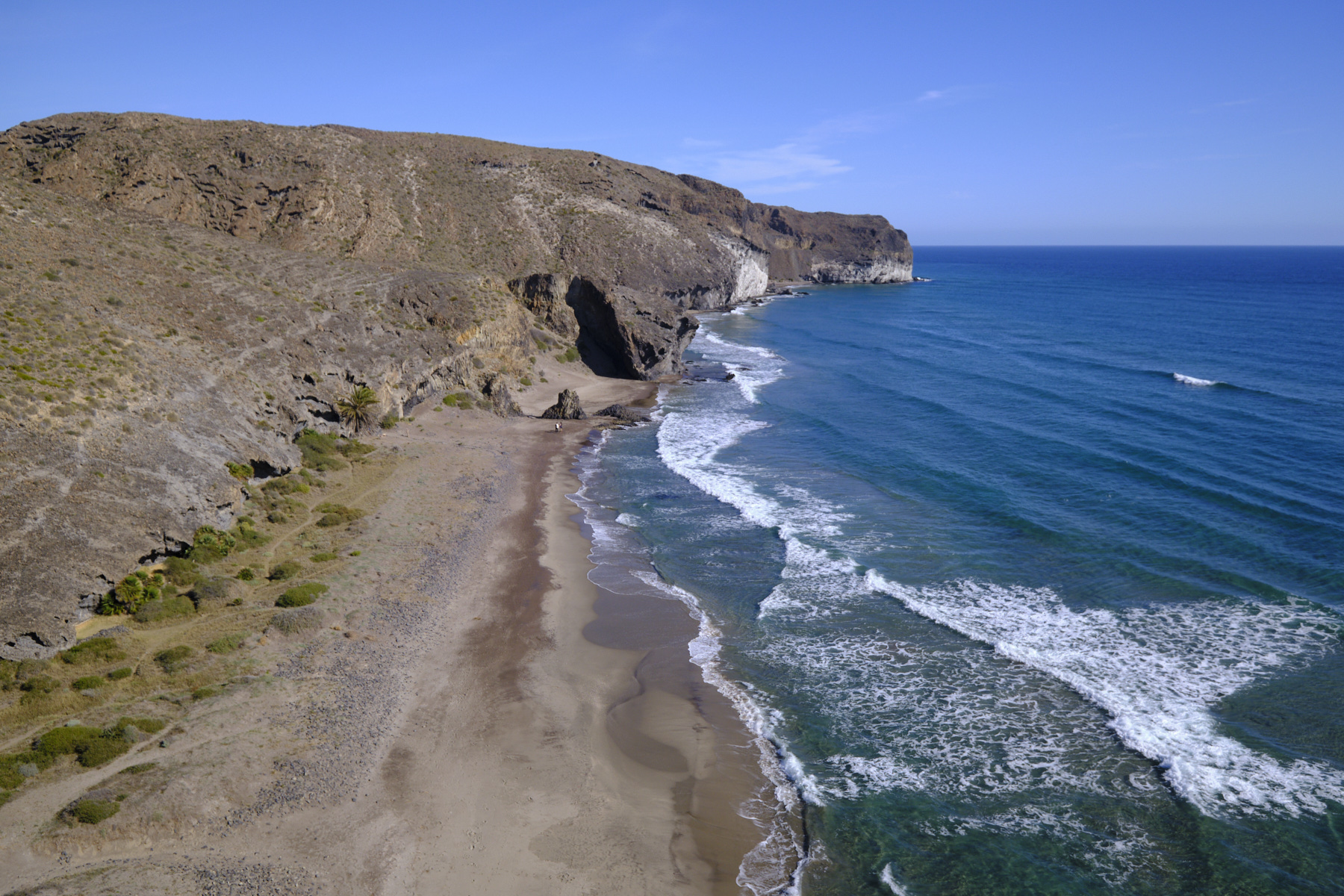
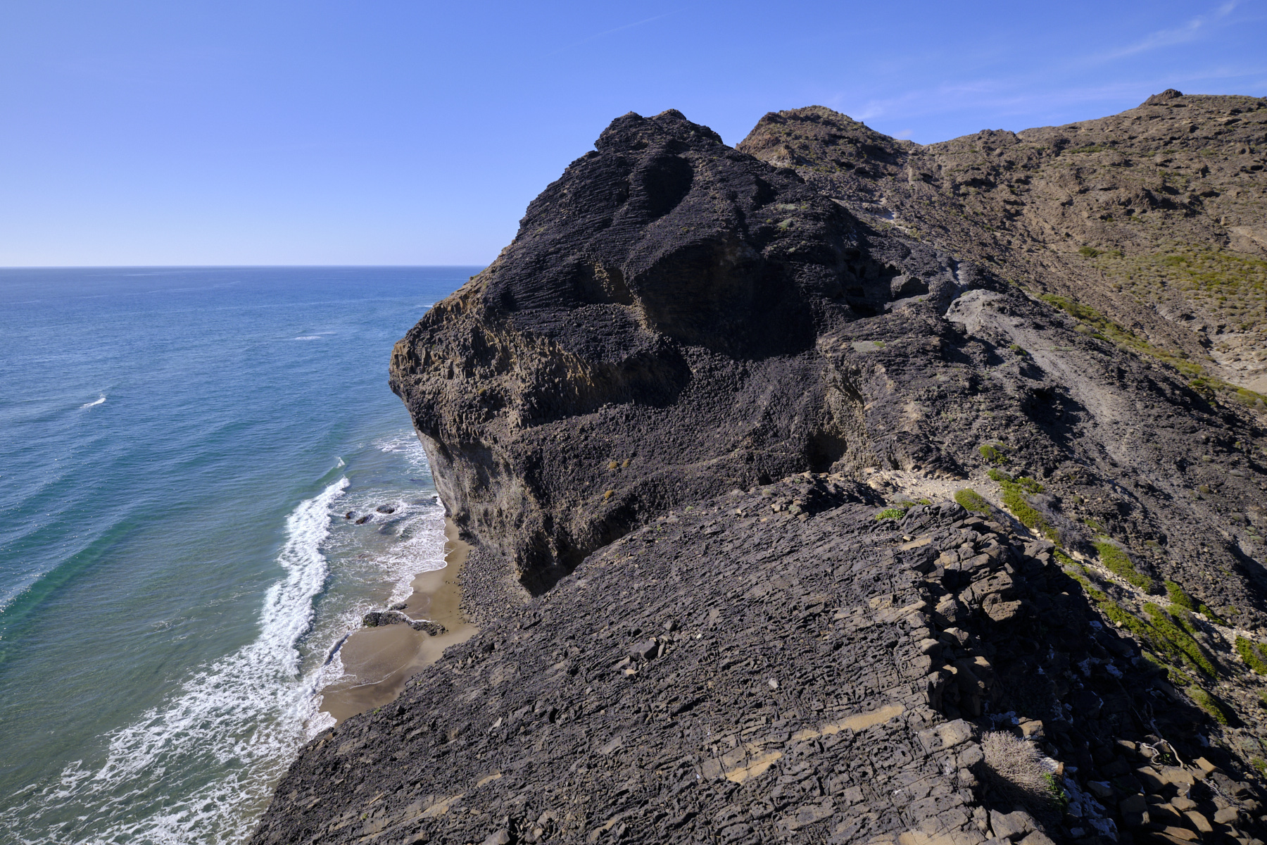
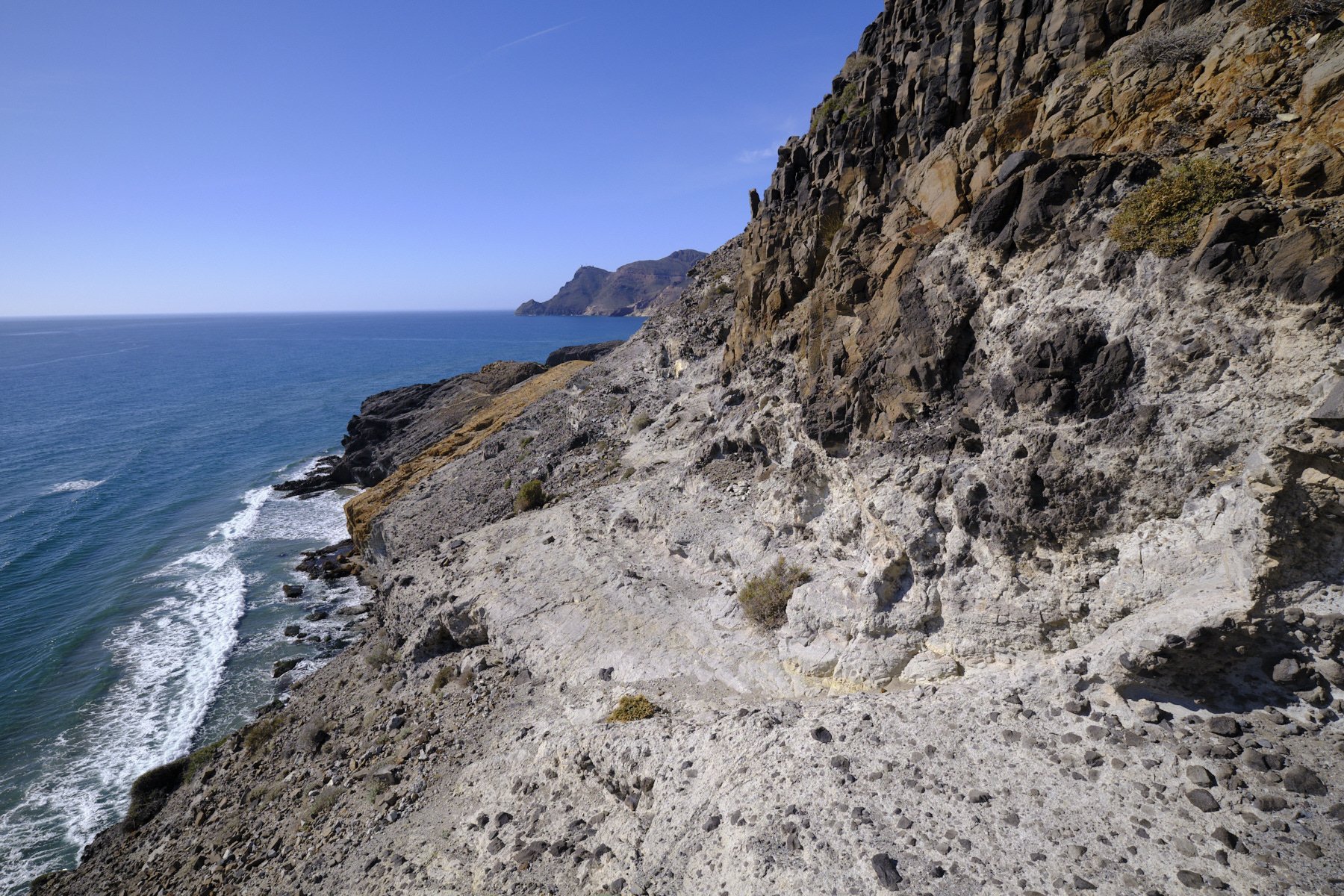
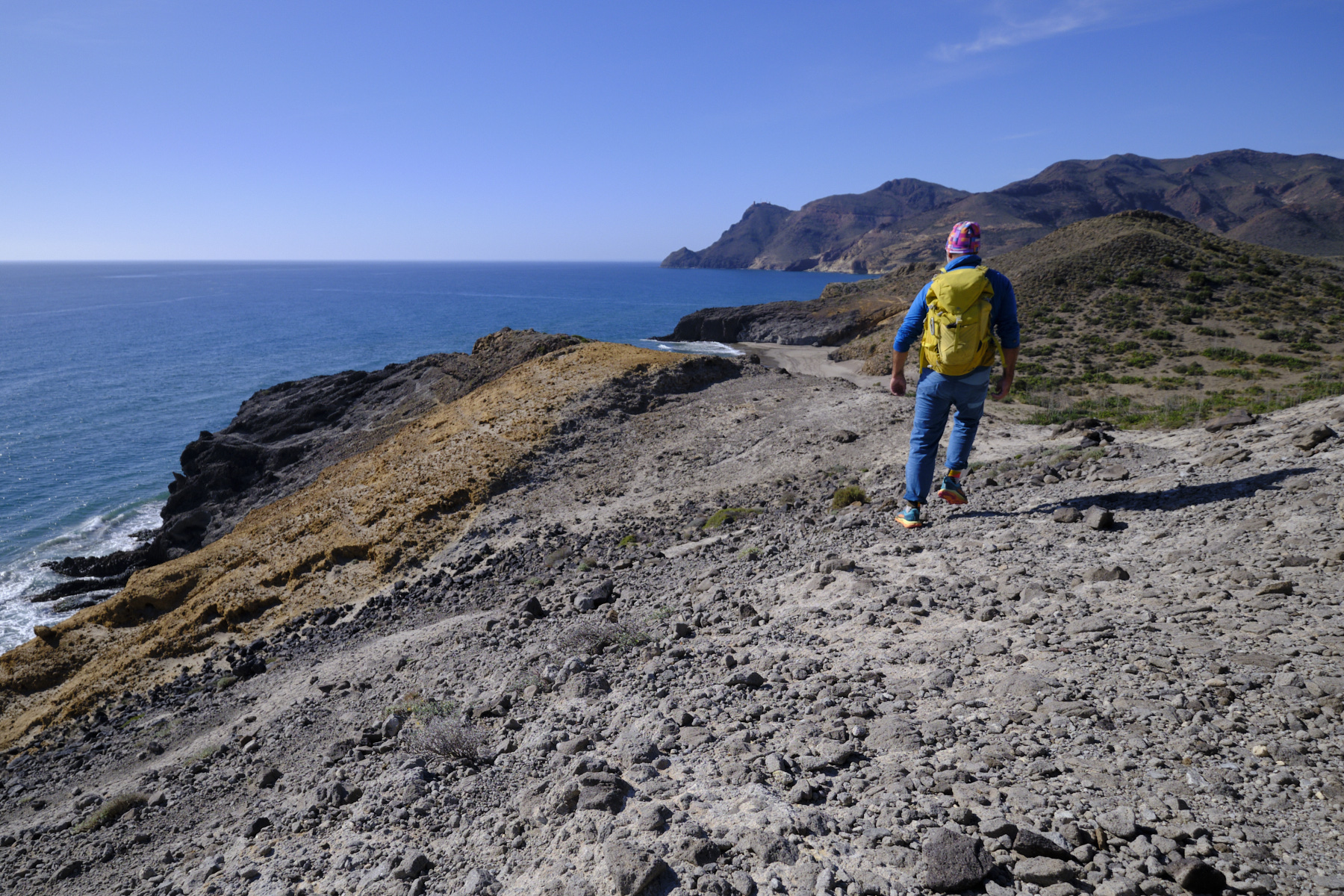
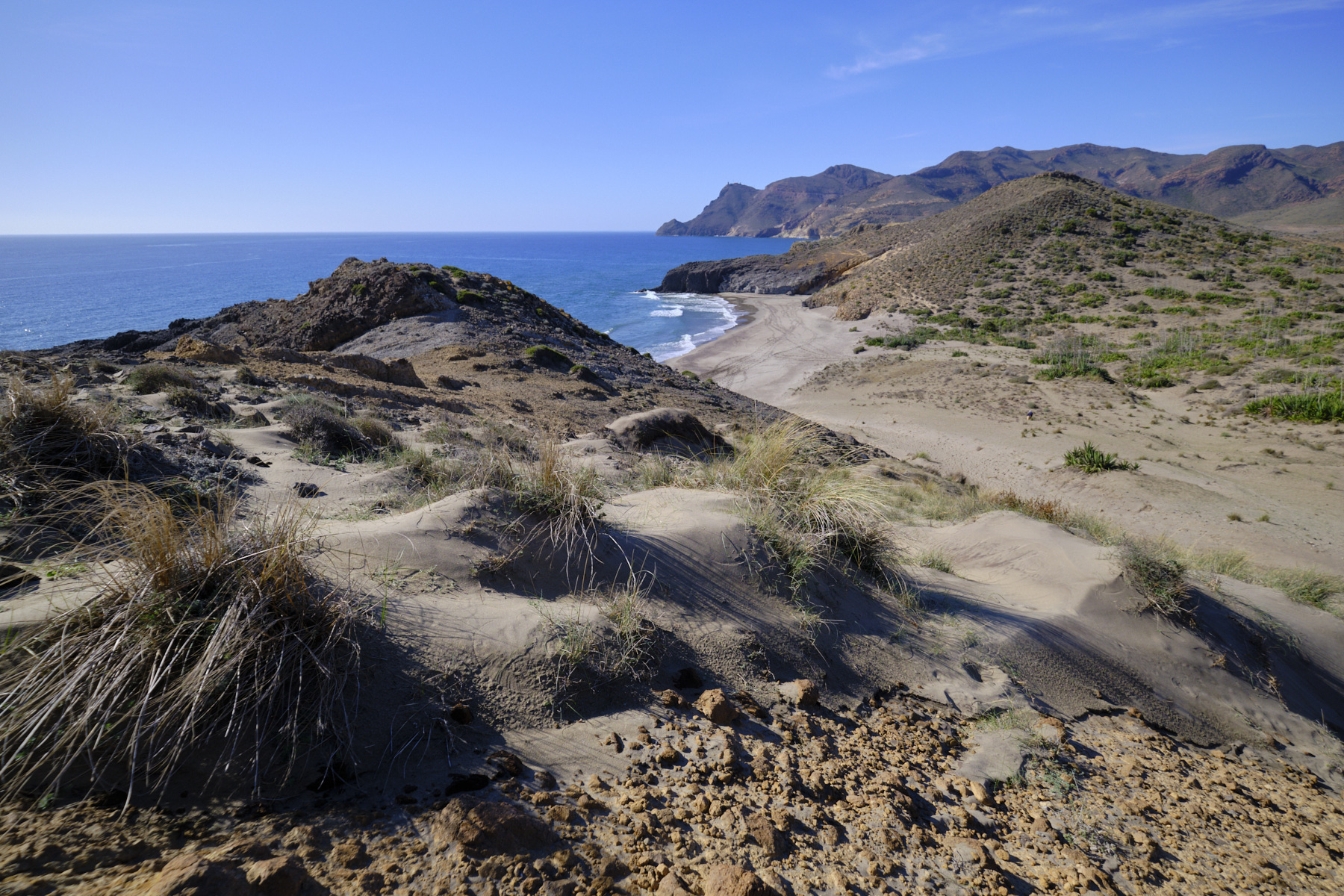
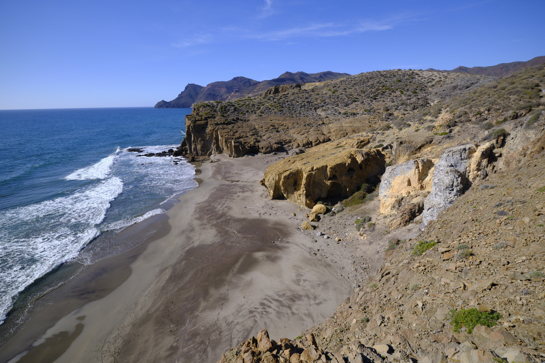
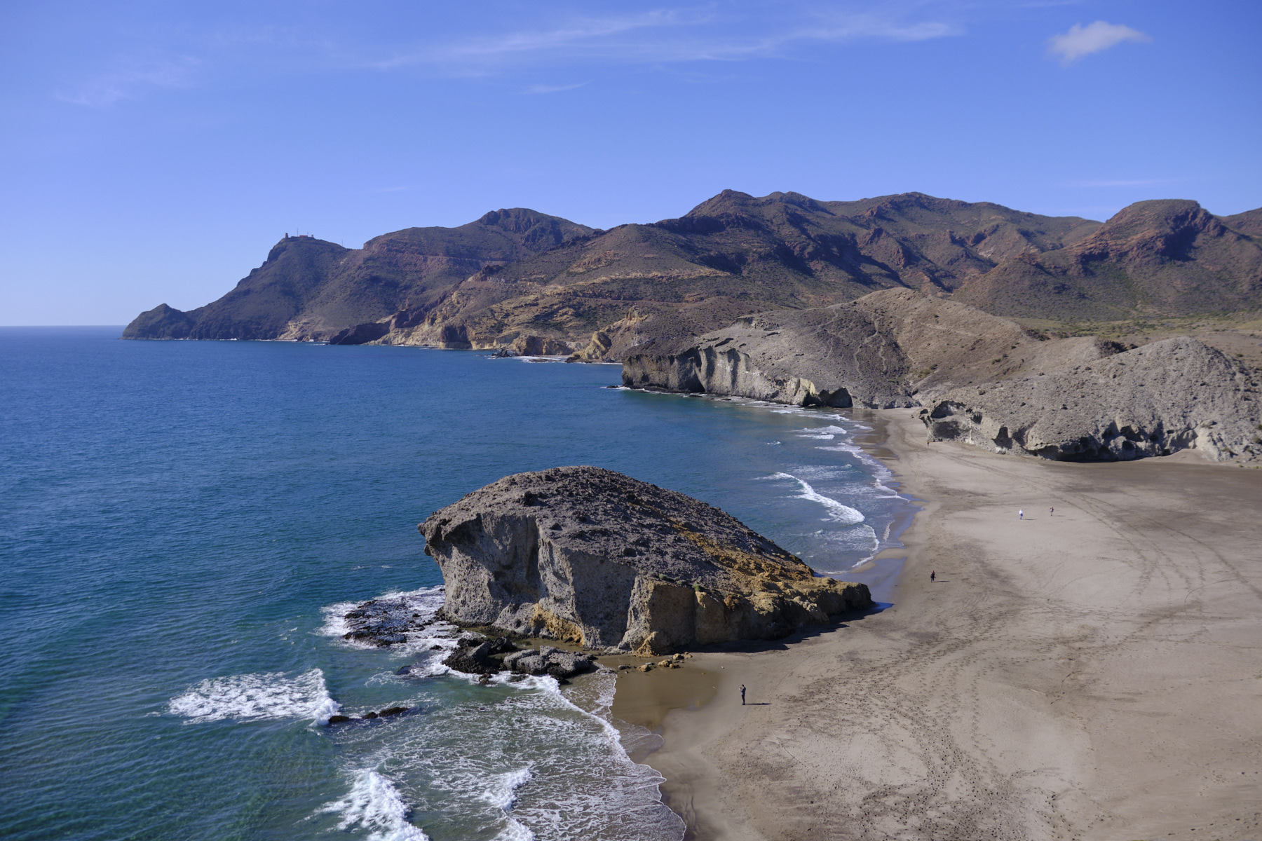
Extraordinary hiking in Cabo de Gata. From the playa de los Genoveses, the route hugs the cliffs overlooking the Mediterranean, either from above on suspended paths or from below with your feet in the water along the base of the cliffs. This is where you'll discover the richness of Cabo de Gata's geological formations, sculpted sedimentary rocks in white, grey or orange hues. Inaccessible except by these steep itineraries, the small coves between the two long beaches are untouched, and you feel like Robinson treading the shores of a desert island. The arrival over the ridges at playa de Mónsul is superb, in the setting used for the filming ofIndiana Jones and the Last Crusade. From postcard to postcard, this is probably one of the most beautiful hikes to be made in Cabo de Gata, at least out of season.
❱❱ Technical summary
Beware, there are 2 passages at the foot of the cliffs between the Calas where, depending on the tide, you can walk in the water, more or less. Check tide times and coefficients to avoid being forced to swim...
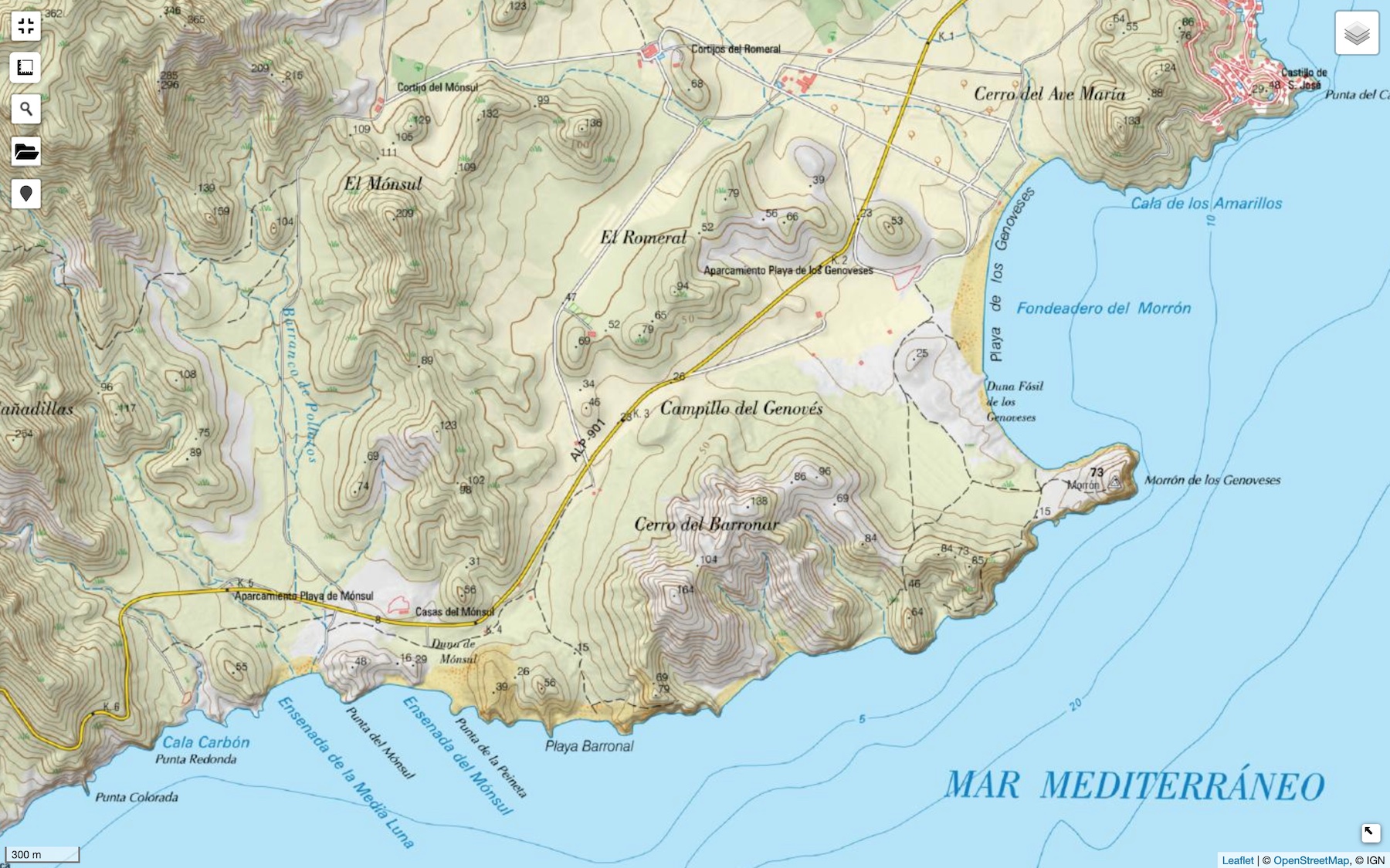
■ Departure point: Parking de la playa de los Genoveses, San Jose, Cabo de Gata, Andalusia, Spain
■ Type of route: coastal loop hike
■ Distance: 7 km
■ Cumulative elevation gain: +125 m
■ Cumulative negative elevation gain: -125 m
■ Estimated total time: 2h to 3h
■ Min and max altitude: 0 m / 75 m
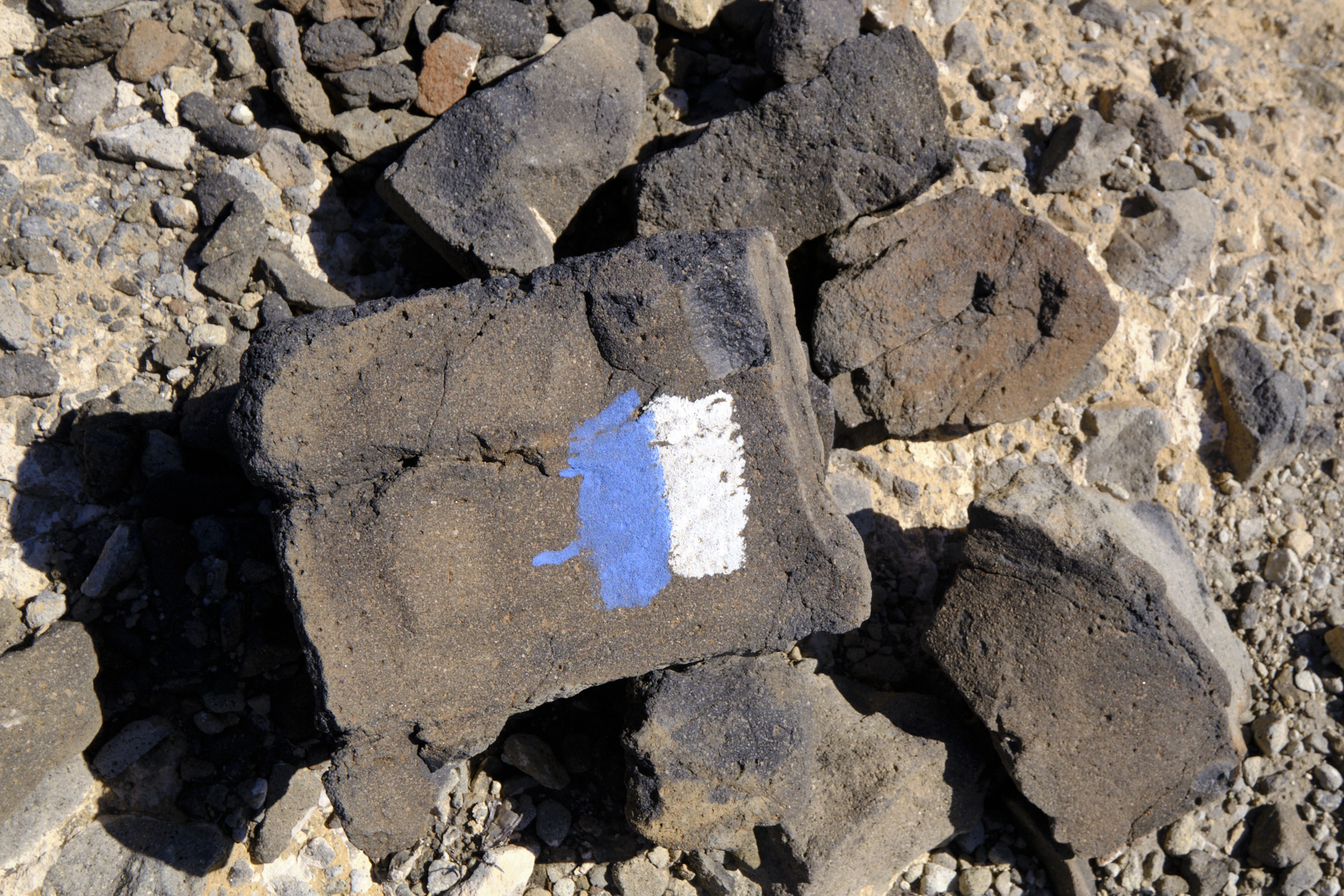
■ Markings: in places, white and blue markings are discreet and widely spaced, but the trails are clearly visible.
■ Equipment in place: none
■ Equipment required: useful GPS trace
Difficulties: some steeper sections or rocky slopes, narrow or steep sections.
❱❱ Access to the place
Go to San Jose, south of Cabo de Gata Natural Park, east of Almeria. Follow the signs for playa de Genoveses and playa de Monsul. The road becomes a track, and there is also an entrance fee for this area, probably applicable in summer (open and free when we passed through in January). Drive along the track and turn left to reach the parking lot at playa de los Genoveses. Alternatively, you can drive to playa de Monsul on the track that continues, and return on foot.
❱❱ Map & topo
❱❱ Itinéraire
Topo and similar itinerary posted on vagamundosviageros.com (in Spanish)


Leave a Reply