


TOPO Ski Touring | CLIMBING7.COM
Publié le
 Partager sur WhatsApp
 Partager sur Twitter
Partager sur Instagram
Partager sur Twitter
Partager sur Instagram

 Partager sur Facebook
 Imprimer le topo
 Laisser un commentaire

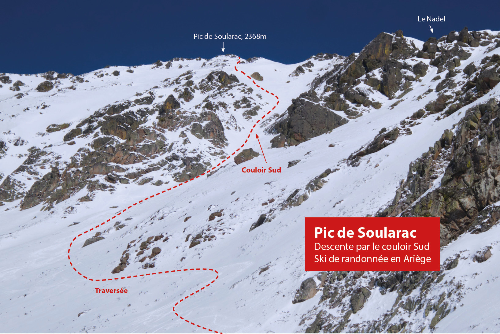
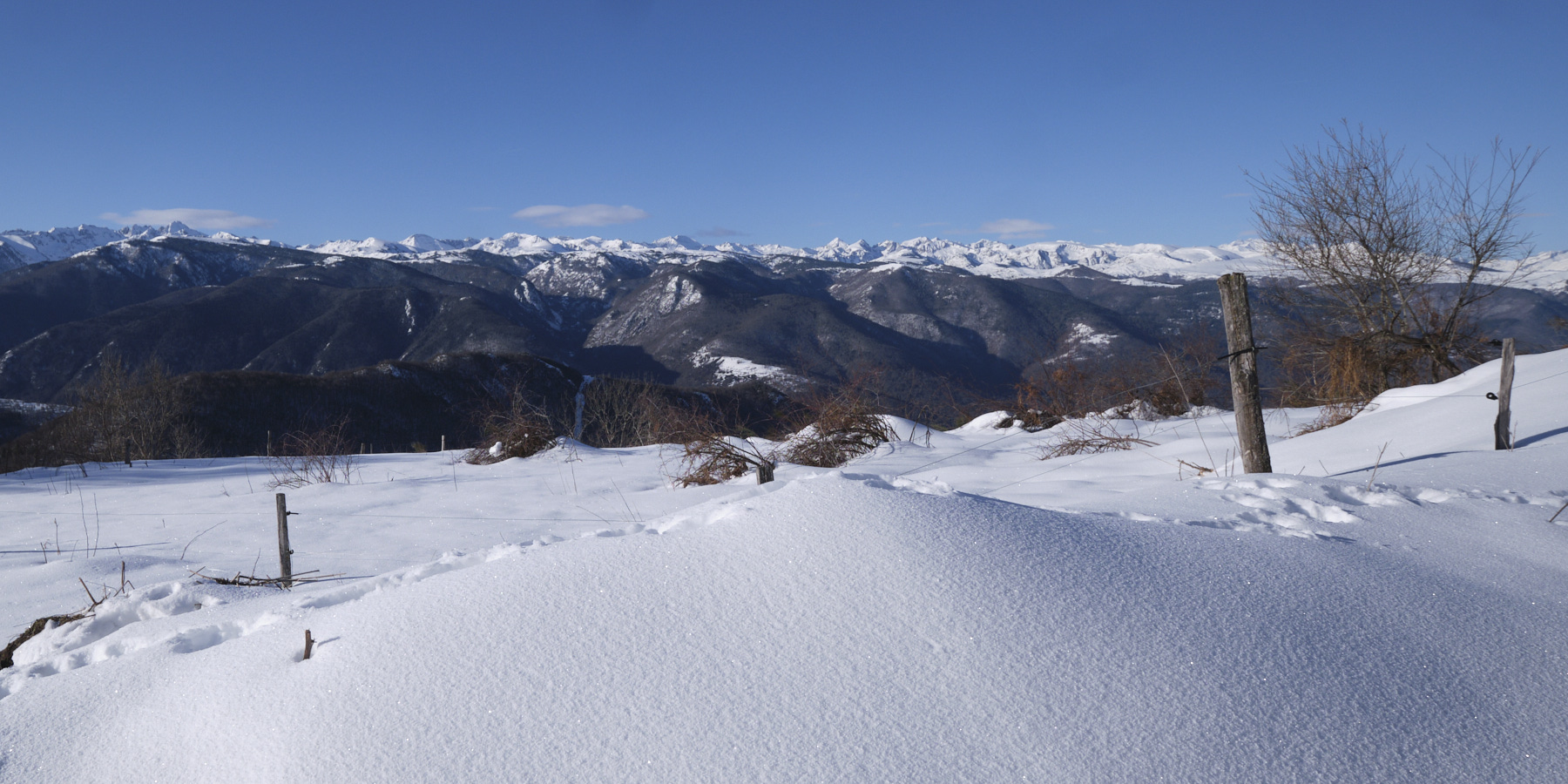
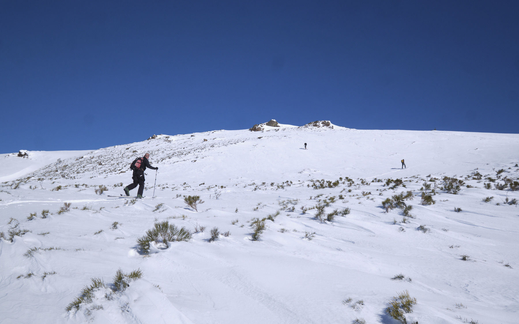
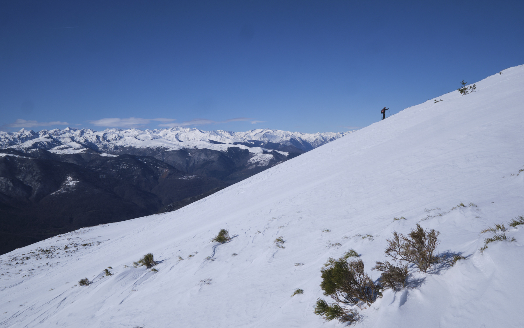
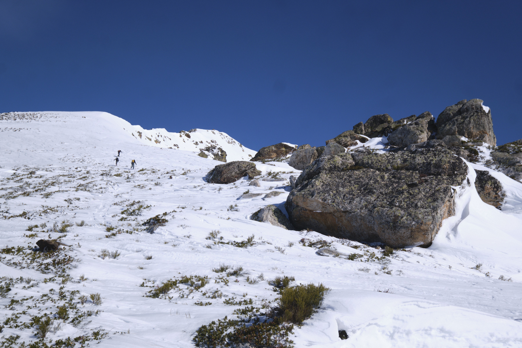
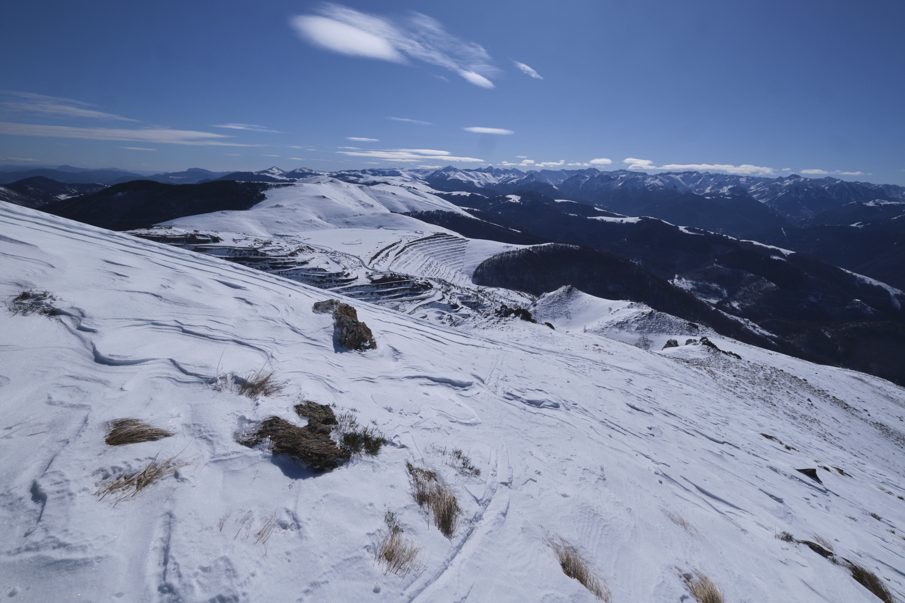
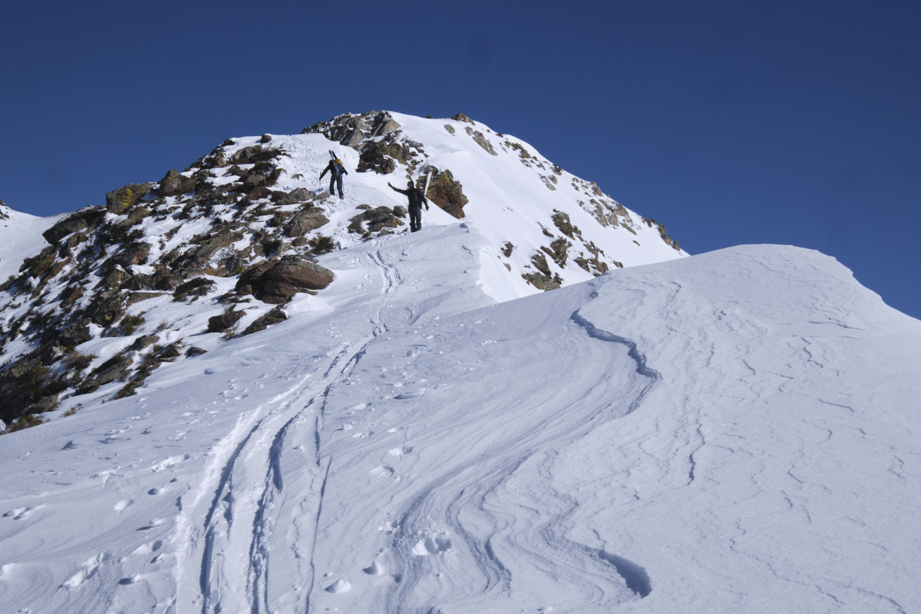
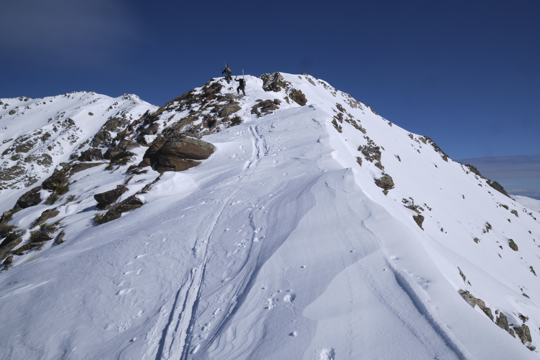
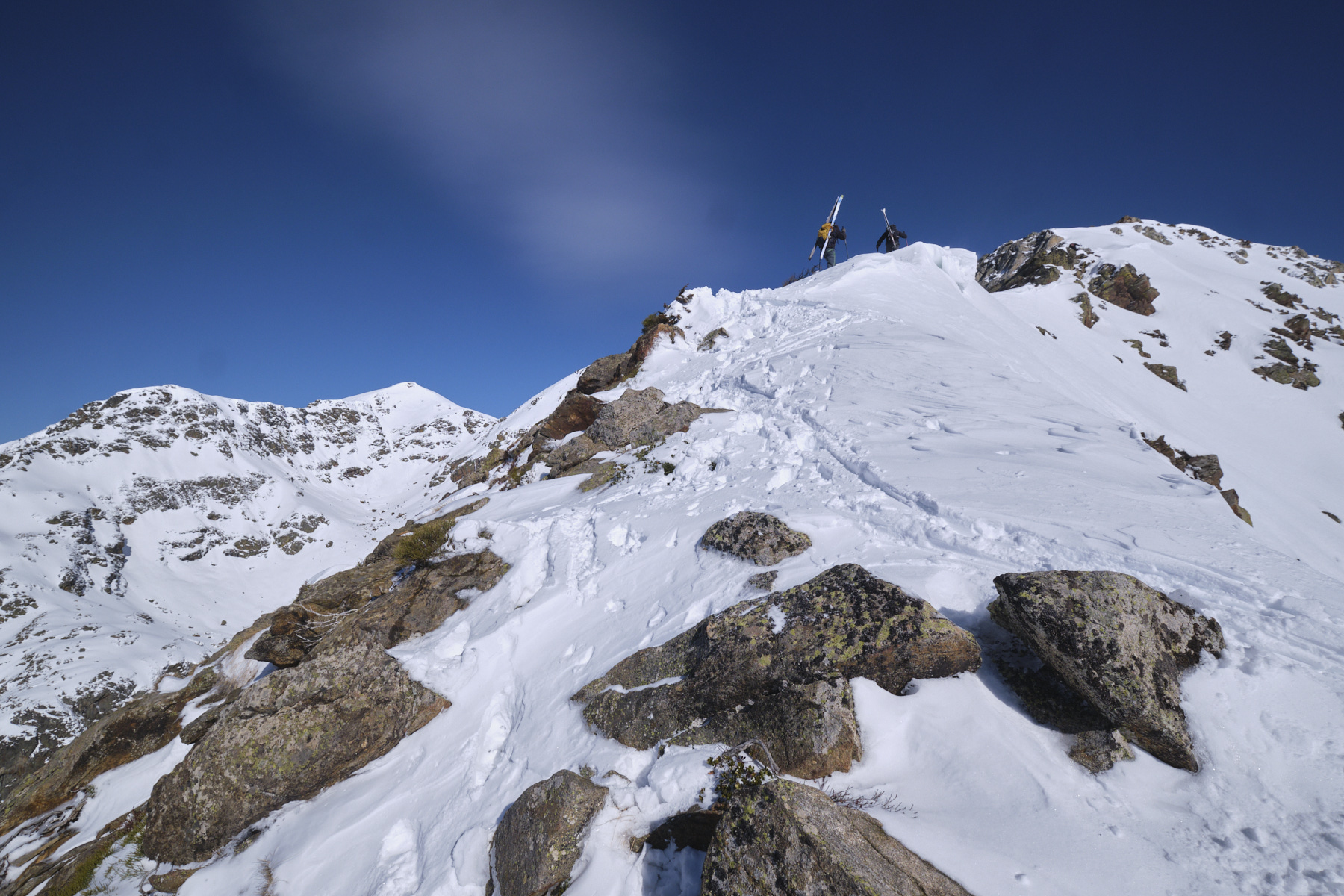
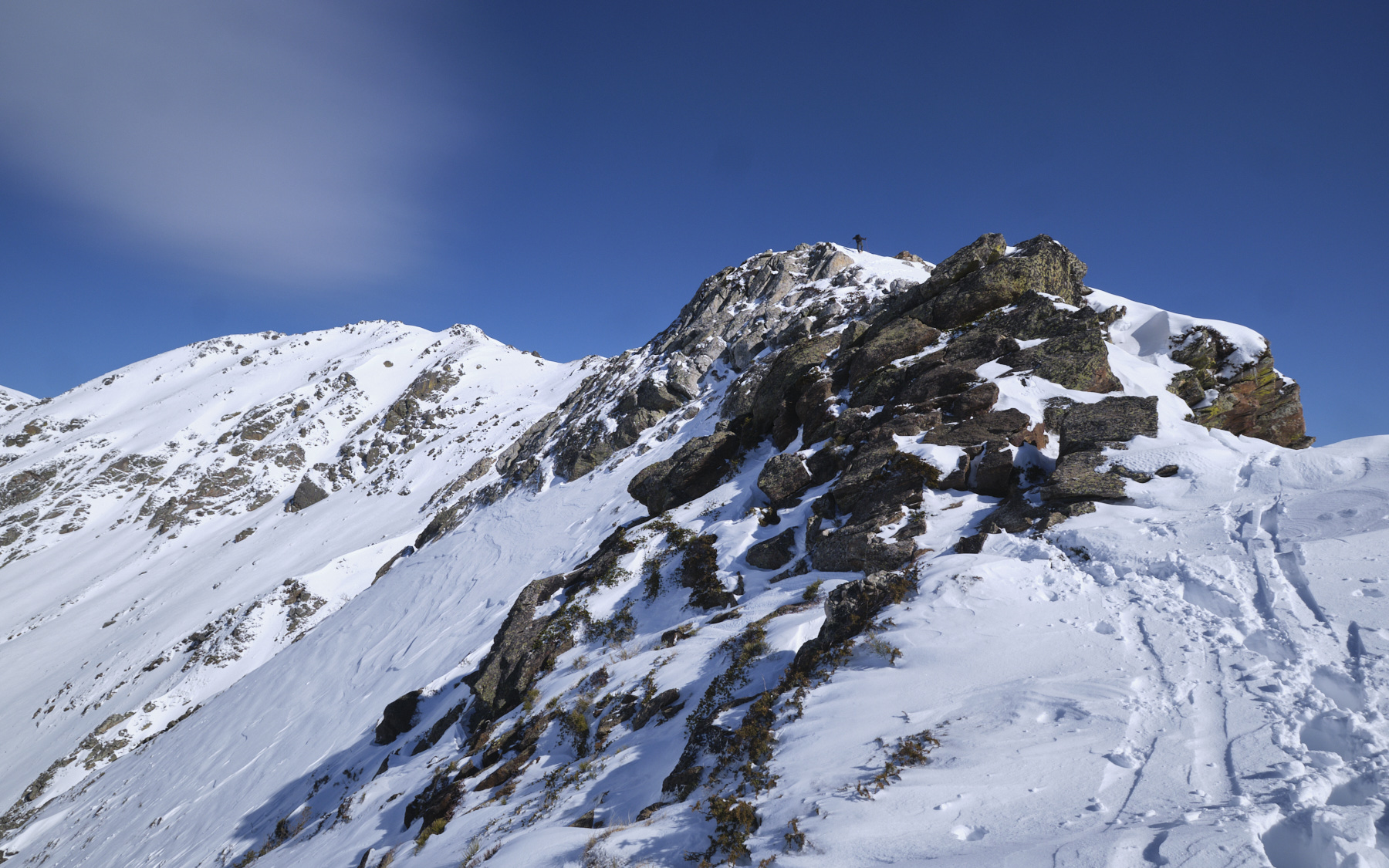
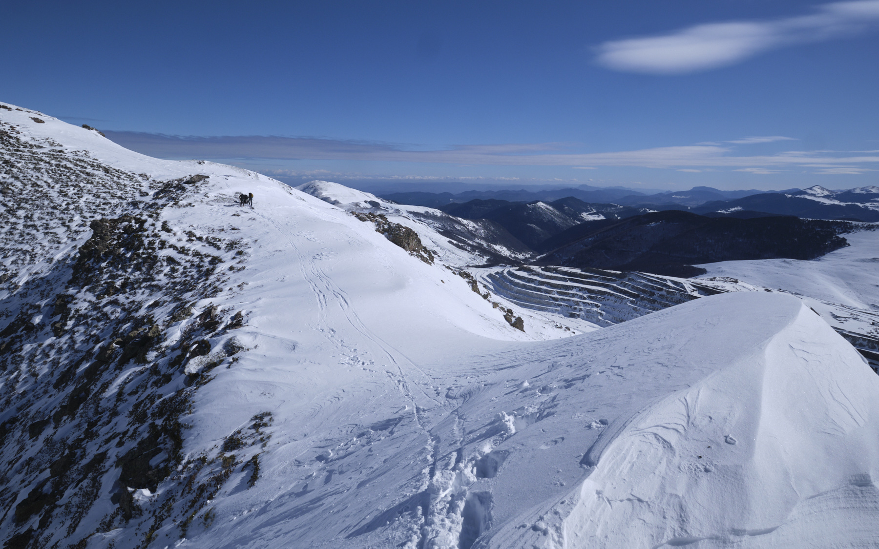
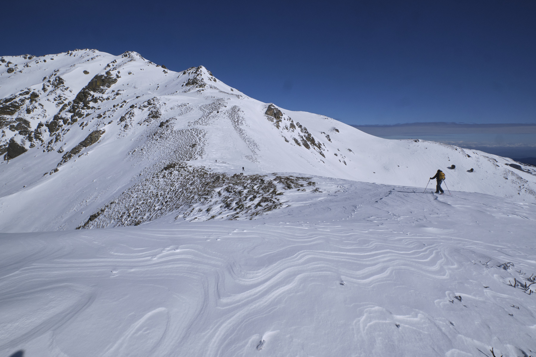
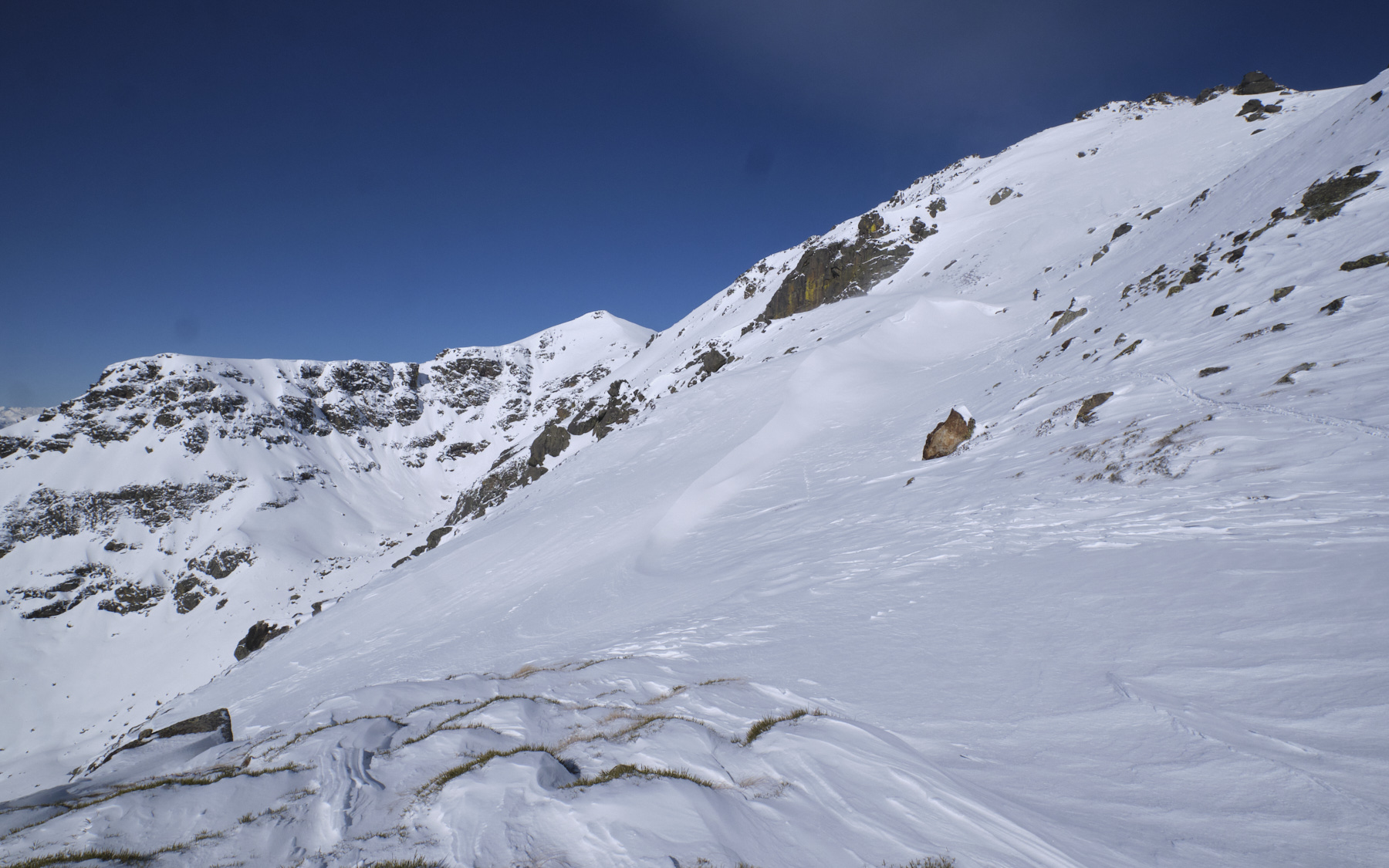
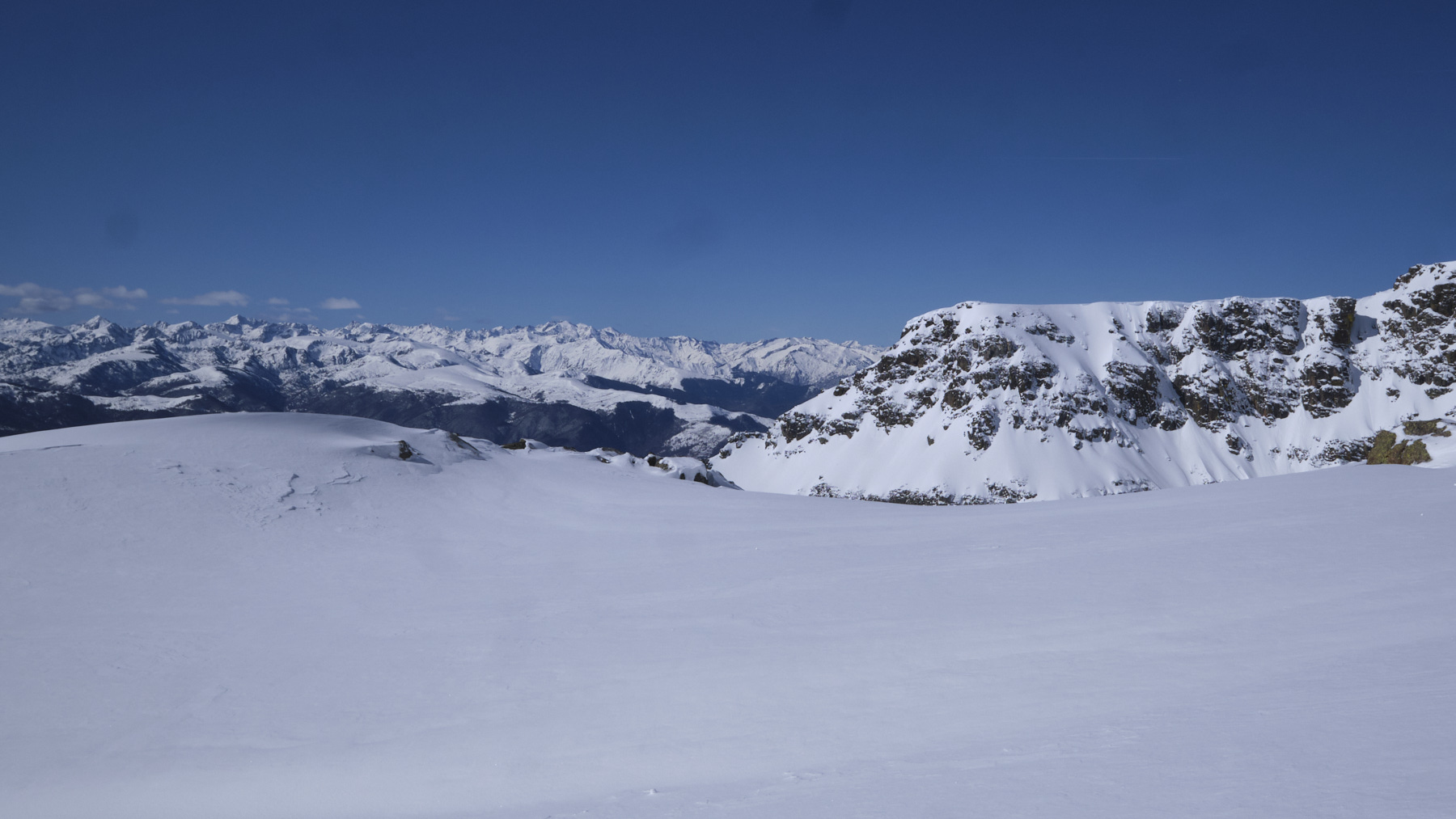
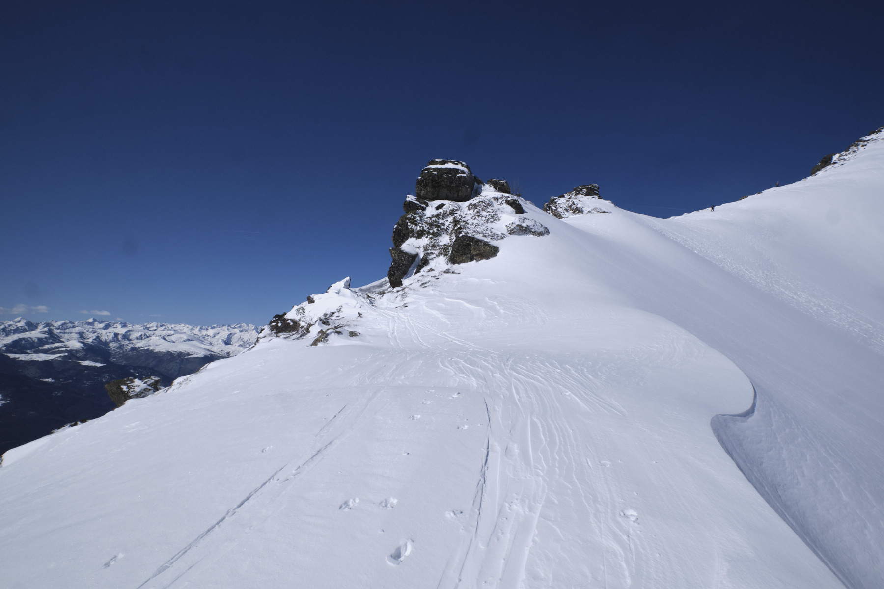
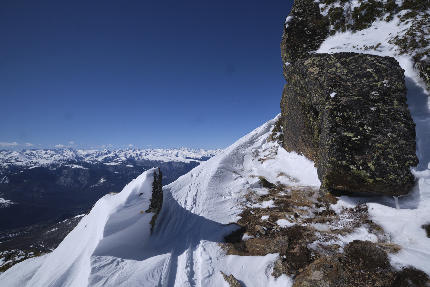
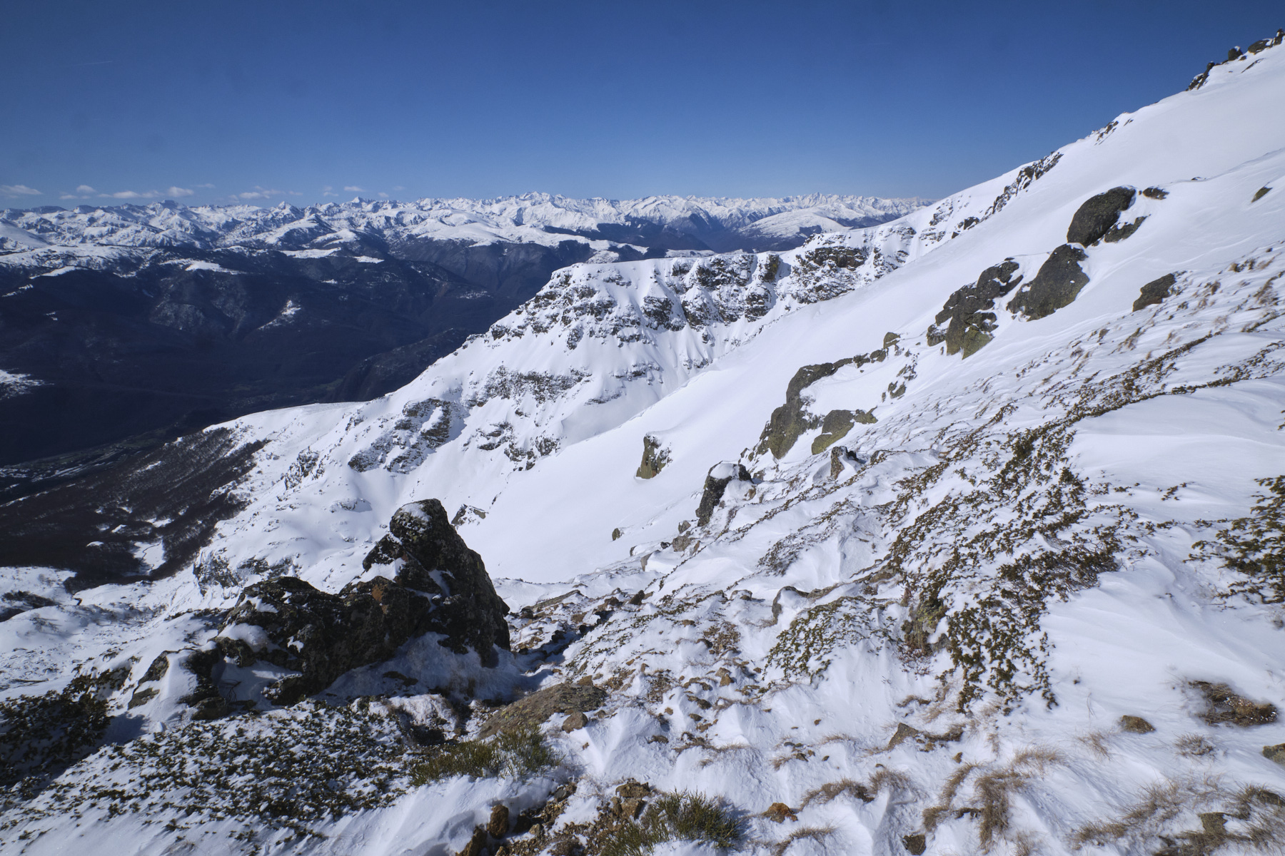
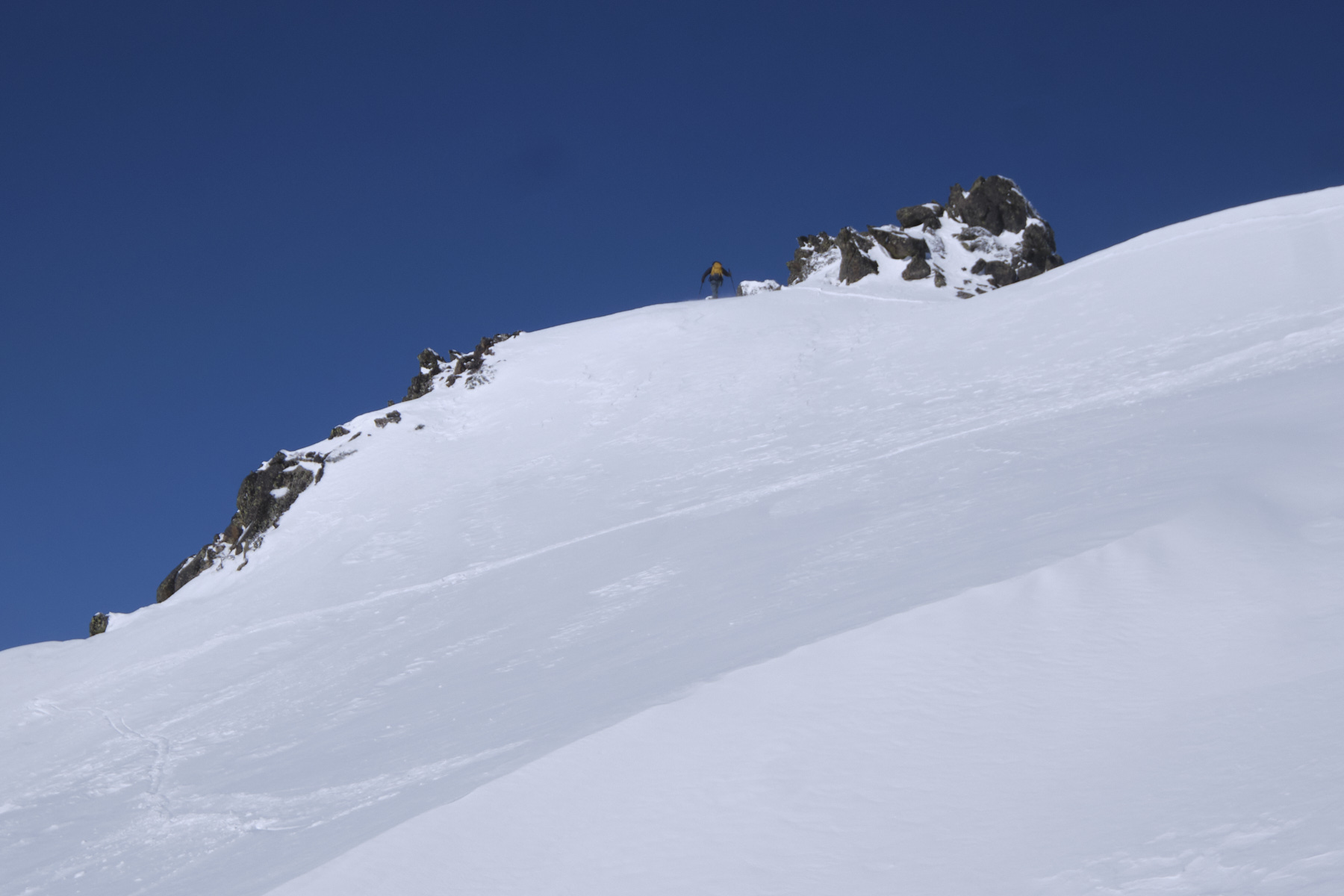
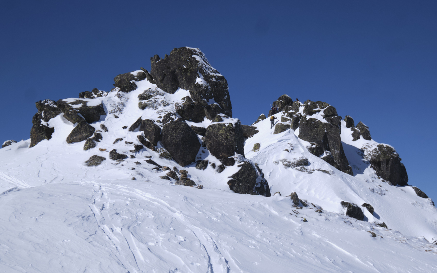
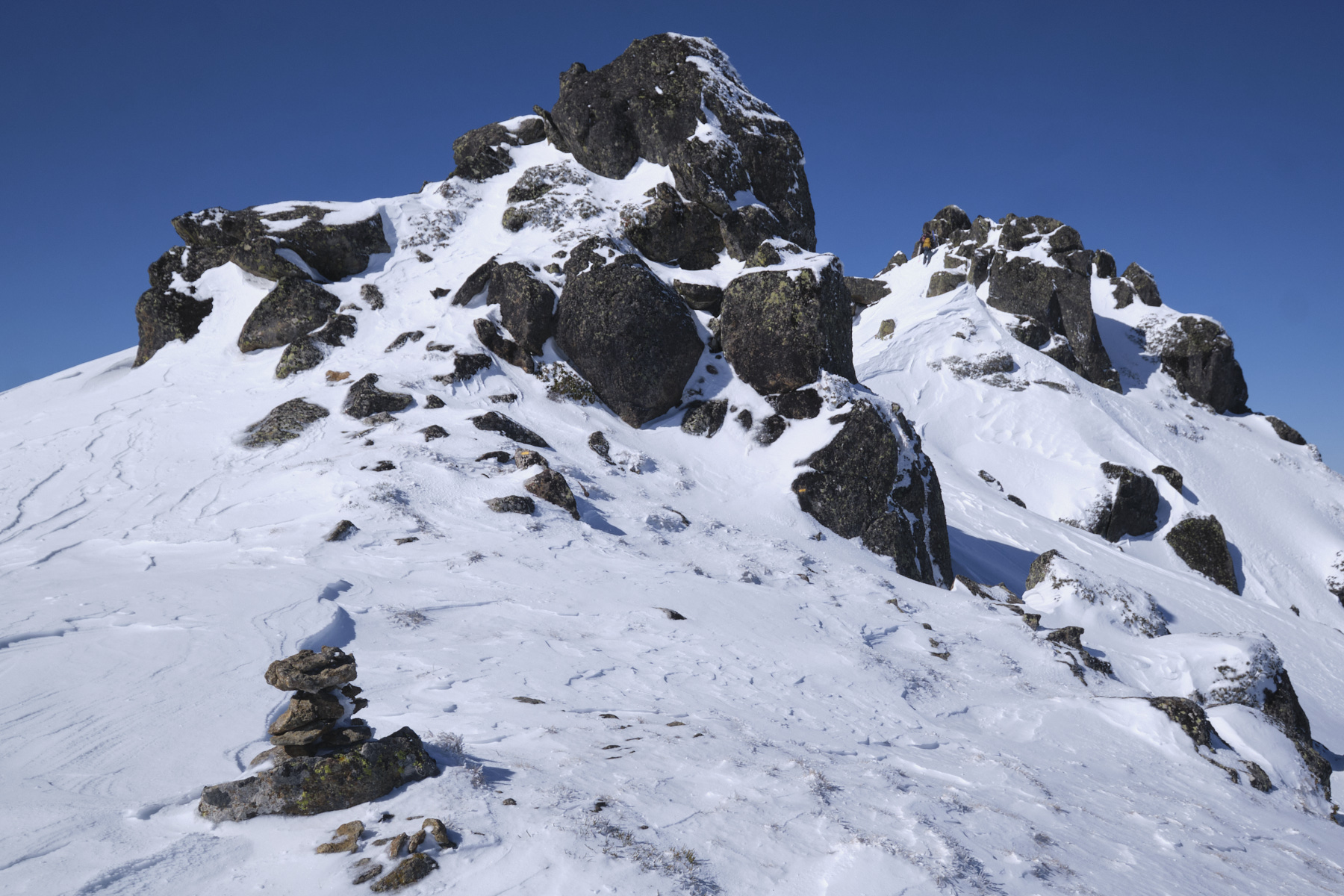
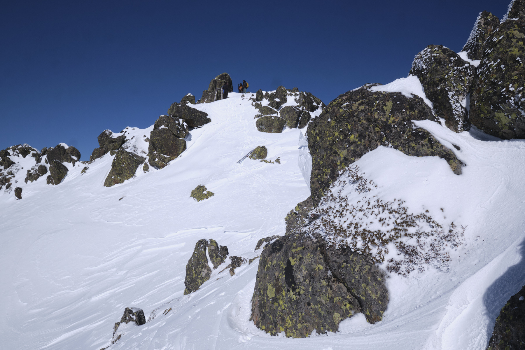
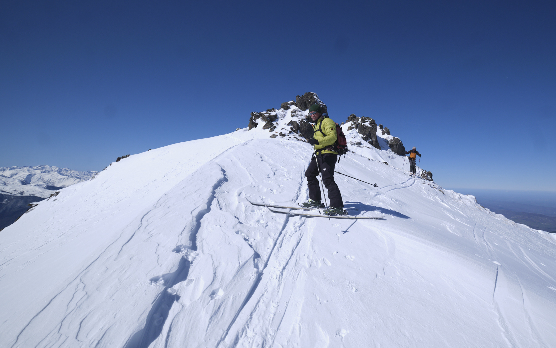
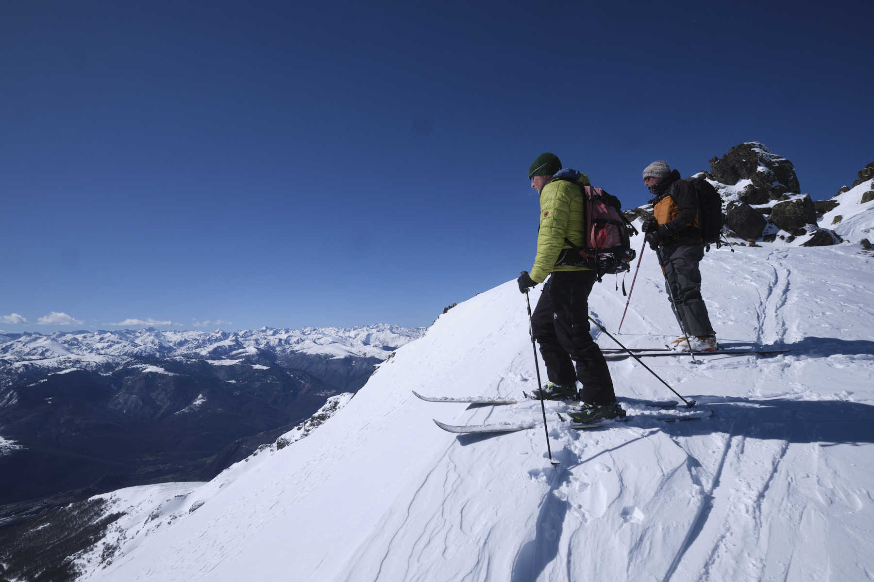
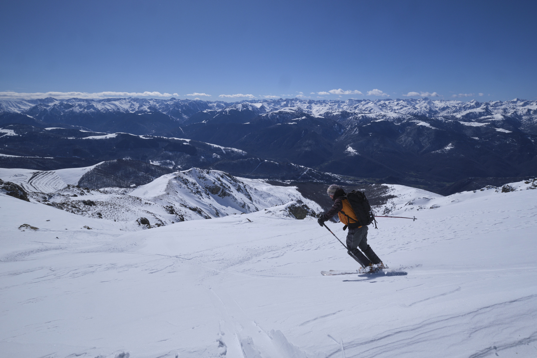
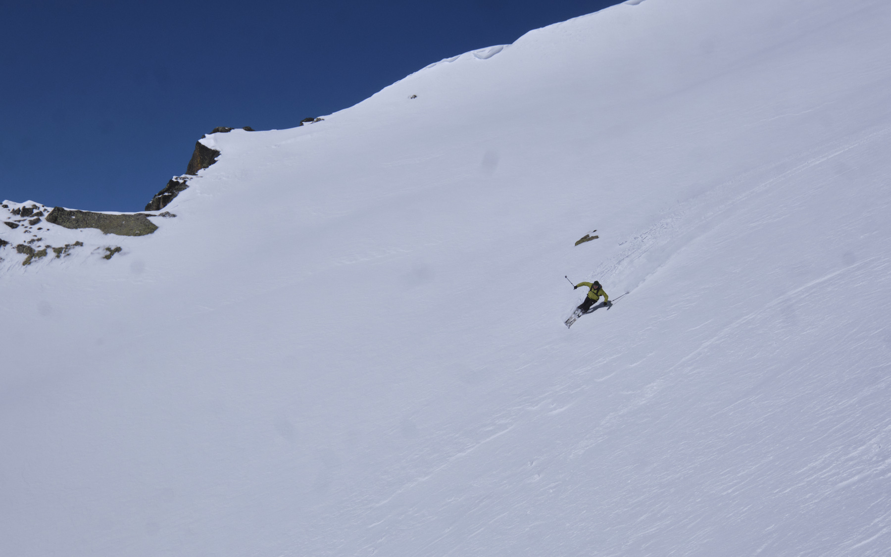
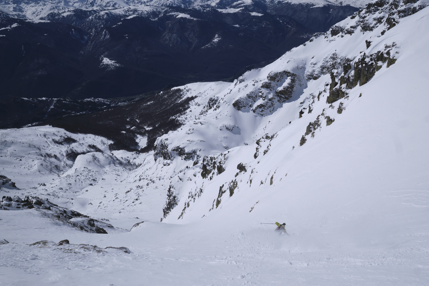
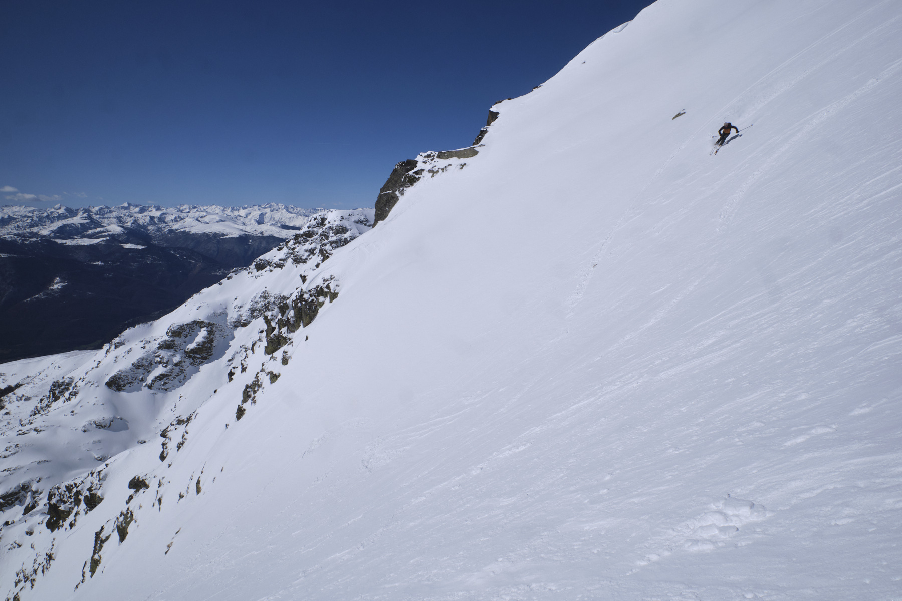
A fine outing in the Tabe massif, with an assault on the Pic de Soularac via its southern ridge. The ascent of the ridge leading to the summit, wide at first, becomes narrower and more aerial, with a section to climb with skis on your back and a few steep, fairly exposed passages. The view from the summit is spectacular, perhaps one of the finest in the Catalan and Ariège Pyrenees. The descent option via the south couloir is superb, with an ideal slope for enjoying yourself.
❱❱ Technical summary
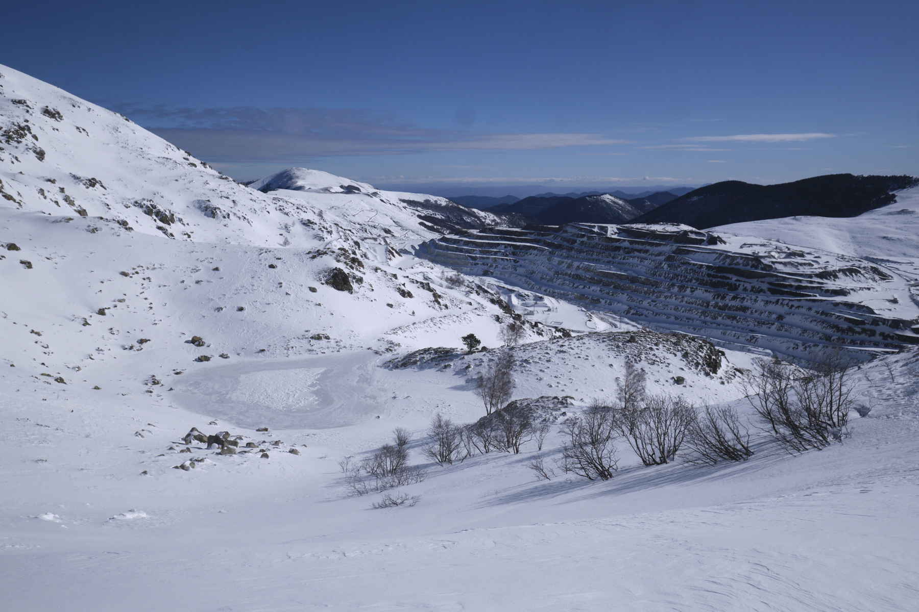
► S tarting point: Luzenac talc quarry, Lordat, Ariège (09)
► Type of route: ski touring, loop route
► Direction: South
► Climbing distance: 5.25 km
► Difficulty: F-4.1-E1
► Maximum gradient: 35°/40°.
► Difference in altitude : +1000 m
► Estimated total time: 3h30 to 5h
► Min and max altitude: 1420 m / 2368 m
► Equipment : crampons, knives
Difficulties: a passage to climb without difficulty at the end of the Nadel ridges and before descending to the Techeyrou pass, some steep and exposed passages in the final part.
❱❱ Access to the place
On the N20 between Tarascon and Ax-les-Thermes, turn into Luzenac. Follow the road up to Lordat via Garanou and Vernaux. On leaving Lordat, climb the road towards the talc quarries. Park just before the final parking lot, at the start of a track that climbs to the left.
❱❱ Map & topo
The routes shown on the topographical map and on the southern descent corridor are indicative only.
❱❱ Itinéraire


Leave a Reply