

TOPO Hiking | CLIMBING7.COM
Publié le

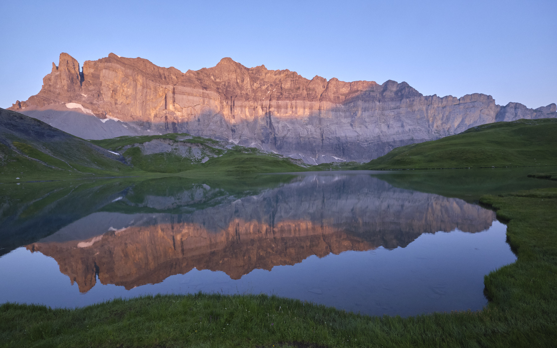
An exceptional and spectacular hike starting from Sixt-Fer-à-Cheval: 3 days to reach Les Houches via the magnificent Lac d'Anterne, with its splendid views over the eastern walls of the Rochers de Fiz, then, after the Collet d'Anterne, over the Grand Balcon du Brévent to the Aiguillette des Houches, with incredible views over the Mont Blanc massif. Although the route, which follows the GR5 and then the GRP Tour du Mont Blanc, is well-trodden, the bivouacs and panoramas are unforgettable, particularly the sunrise over Lac d'Anterne and the Rochers des Fiz, and the aerial views of the Mont Blanc massif from the Col du Brévent to the Aiguillette des Houches.
❱❱ Technical summary
► Departure point: Parking du Lignon, Sixt-Fer-à-Cheval, Haute-Savoie (73)
► Type of route: high-mountain touring hike (3 days)
► Distance: 7.8 km (D1) / 15.3 km (D2) / 10.2 km (D3)
► Cumulative elevation gain: +970 m (D1) / +1065 m (D2) / +180m (D3)
► Cumulative negative altitude gain: -95 m (D1) / -970m (D2) / -1330m (D3)
► Estimated total time: 3h (J1) / 5h to 6h (J2) / 3h to 4h (J3)
► Max altitude: 2107m (D1) / 2487m (D2) / 2260m (D3)
► Marking: GR5 then GRP Tour du Mont Blanc
► Equipment: none
► Equipment required: GPS track may be useful
Difficulties: a steep section to access the Col du Brévent, some aerial passages on the ridges.
❱❱ Access to the place
Drive to Sixt-Fer-à-Cheval and take the bus from the bus station to the Lignon parking lot. Leave your car at the Les Houches station beforehand or plan to return by bus.
❱❱ Map & topo
Voir en plein écran❱❱ Itinéraire
Stage 1: Lignon parking lot to Lac d'Anterne
Climb gently through the forest on the GR5 to the cascade de la Pleureuse. Just above it, fork left on the GR5 and climb gradually but steadily up to the Collet d'Anterne, which gives access to the high valley. The Rochers des Fiz come into view.
Cross downhill to cross the Anterne torrent and reach the Anterne refuge. Continue on the GR5 for almost 300m of ascent to reach the large basin of Lac d'Anterne. Reach the eastern shores of the lake to easily find a bivouac area away from the wetlands. Swimming is possible and life is spectacular!
Stage 2: lac d'Anterm to refuge de Bellachat via Brévent
Follow the GR5 up to the Col d'Anterne, where you'll have your first glimpse of the Mont Blanc massif. From here, descend to the refuge de Moëde Anterne and below, turn left towards the Col de Brévent.
After a long descent, the path crosses the Diosaz by the Pont d'Arlevé before heading south again on the GR5 - GRP Tour du Mont Blanc. The long, slightly uphill traverse ends in a steep, sustained section to reach the Col du Brévent. Spectacular views of nearby Mont Blanc!
From the col, continue along the ridges between névés and rocks to climb to Brévent at the cable car arrival station. From here, descend to the south to traverse the Grand Balcon, with its permanent and incredible views of Mont Blanc and the Chamonix Needles, all the way to the Bellachat refuge, ideally placed for the show. Free bivouac sites nearby.
Stage 3: Bellachat refuge to Les Houches via Aiguillette des Houches
Climb above the refuge to the Col de Bellachat. From here, it's easy to cross and gradually climb up to the Aiguillette des Houches. Then descend to the south and branch off to the west to follow the Chalettes ridge to Pierre Blanche.
Descend towards Plan de la Cry, then follow the signs for Christ Roi to find the Tour du Mont Blanc GRP below, and finally land at the Les Houches SNCF train station.

Leave a Reply