


TOPO Hiking | CLIMBING7.COM
Publié le
 Partager sur WhatsApp
 Partager sur Twitter
Partager sur Instagram
Partager sur Twitter
Partager sur Instagram

 Partager sur Facebook
 Imprimer le topo
 Laisser un commentaire
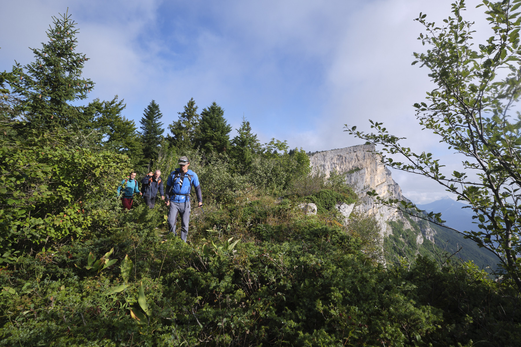
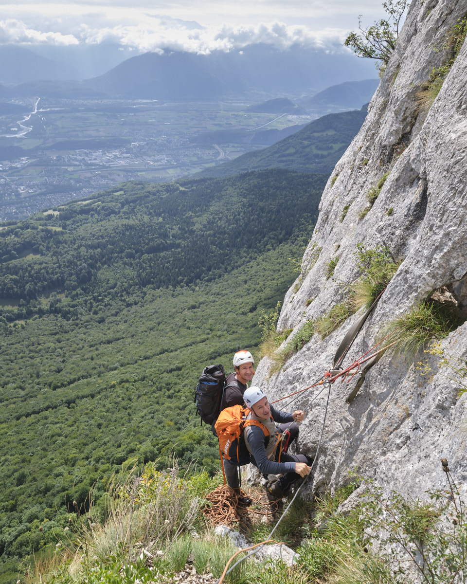
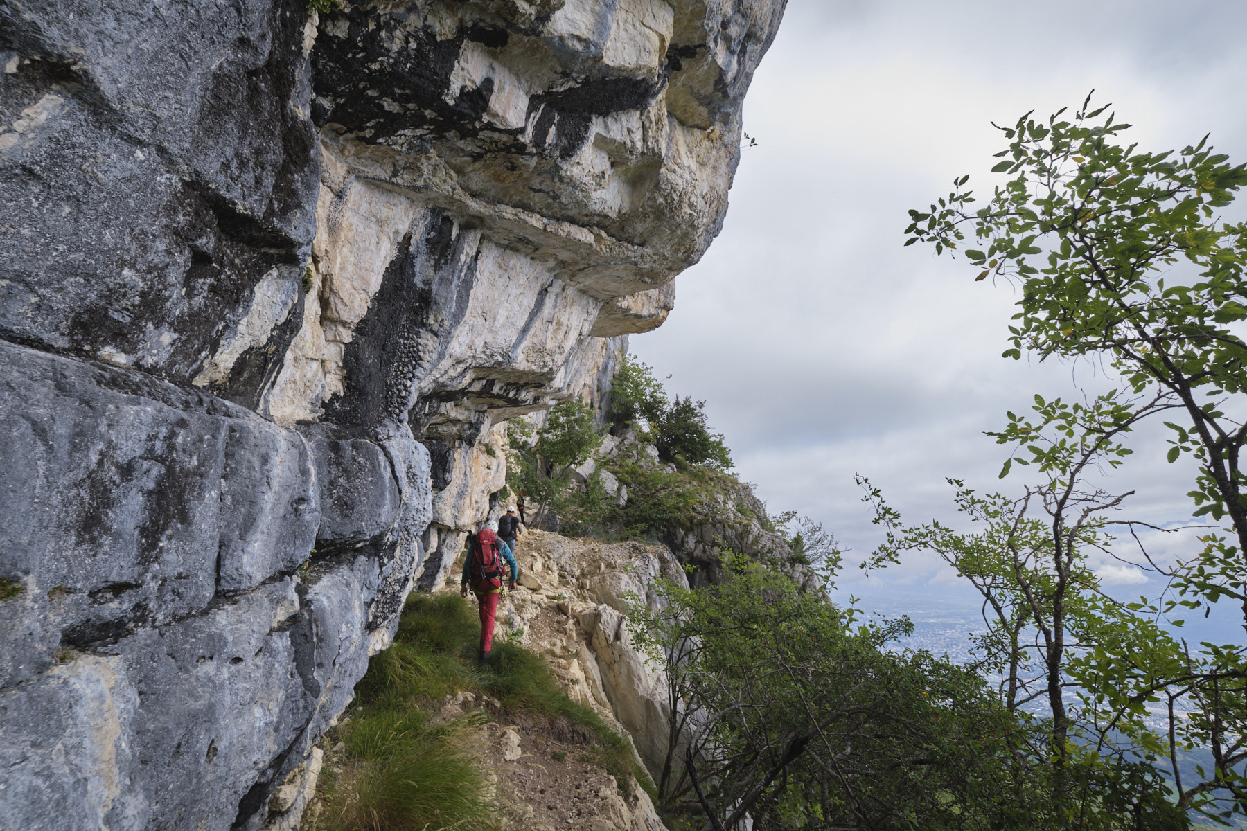
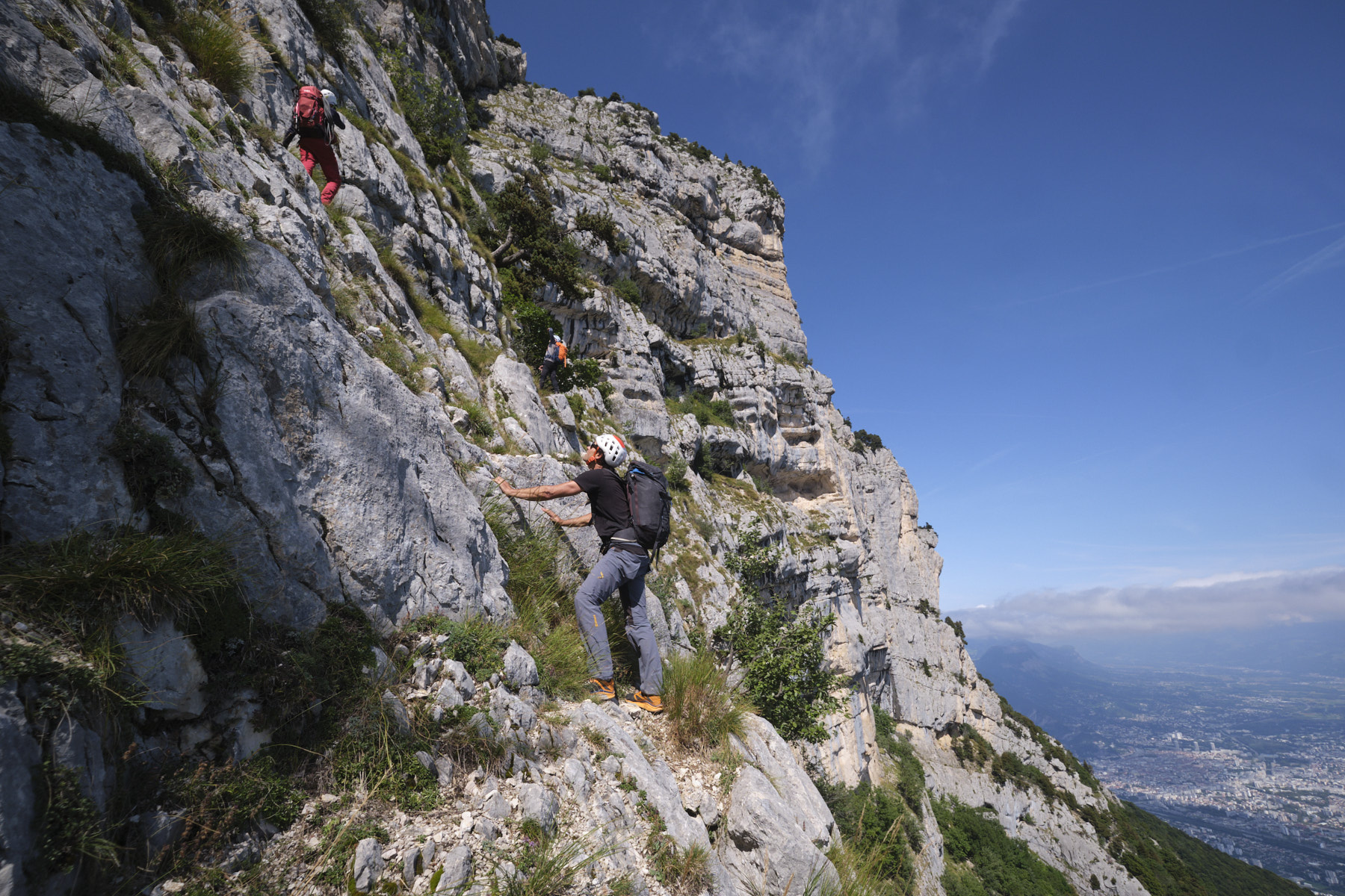
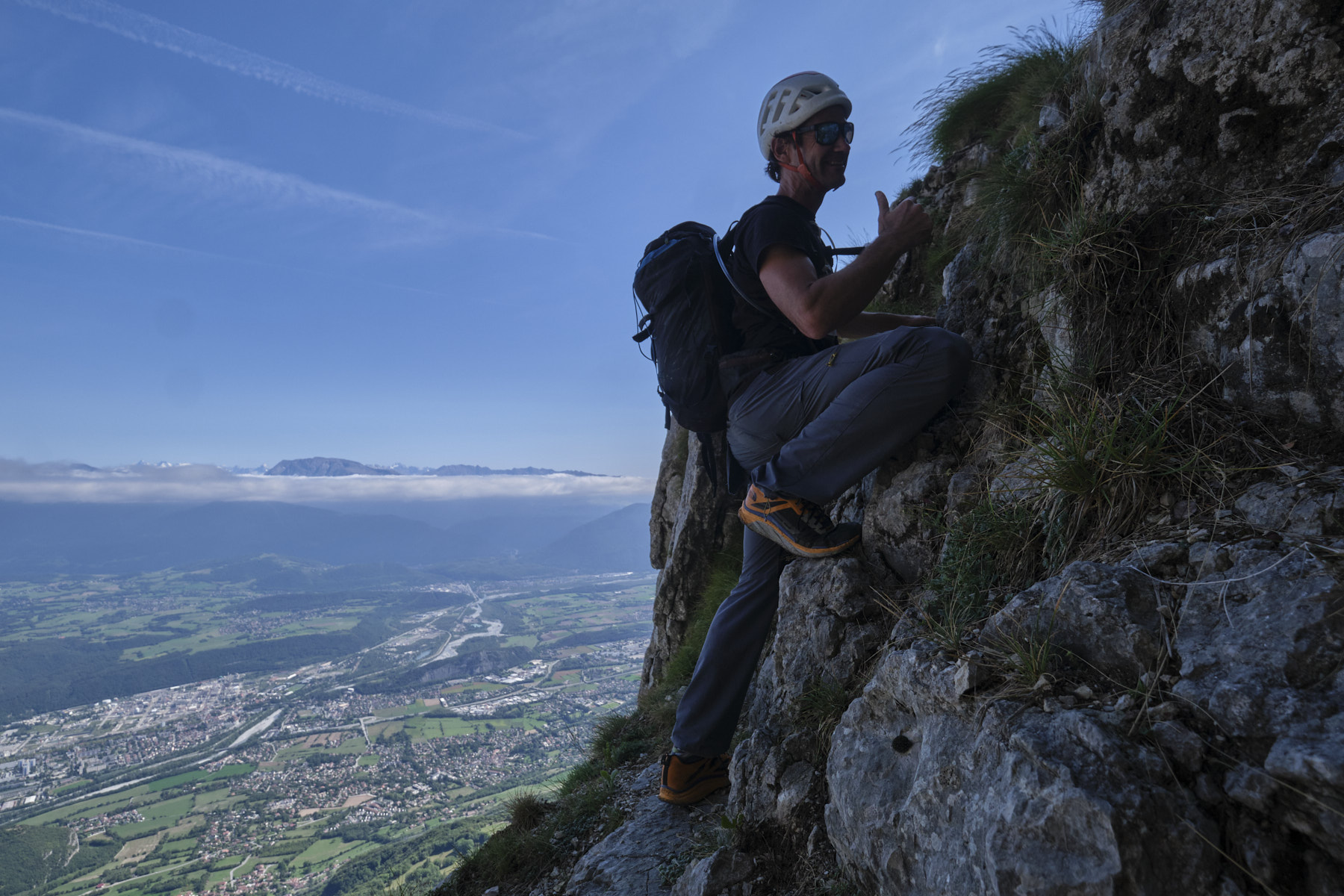
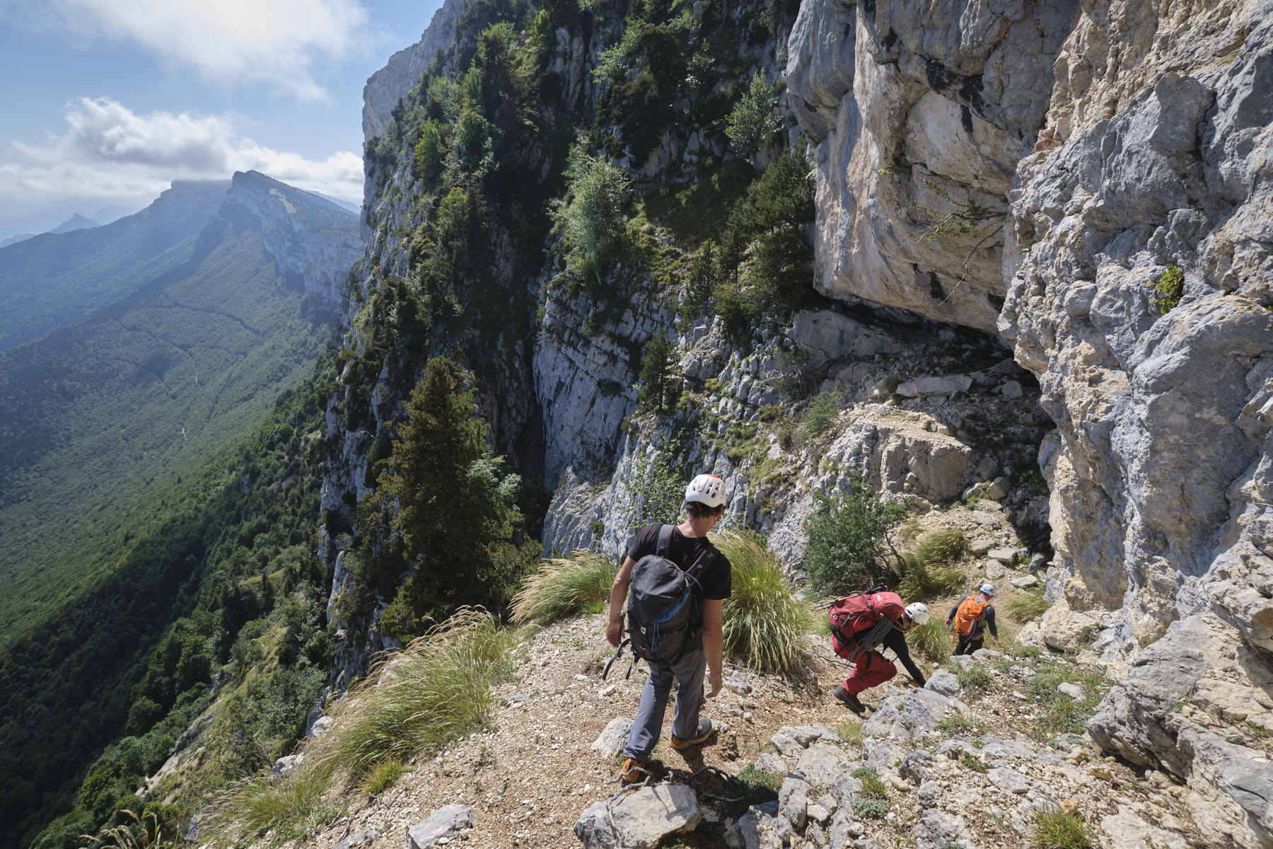
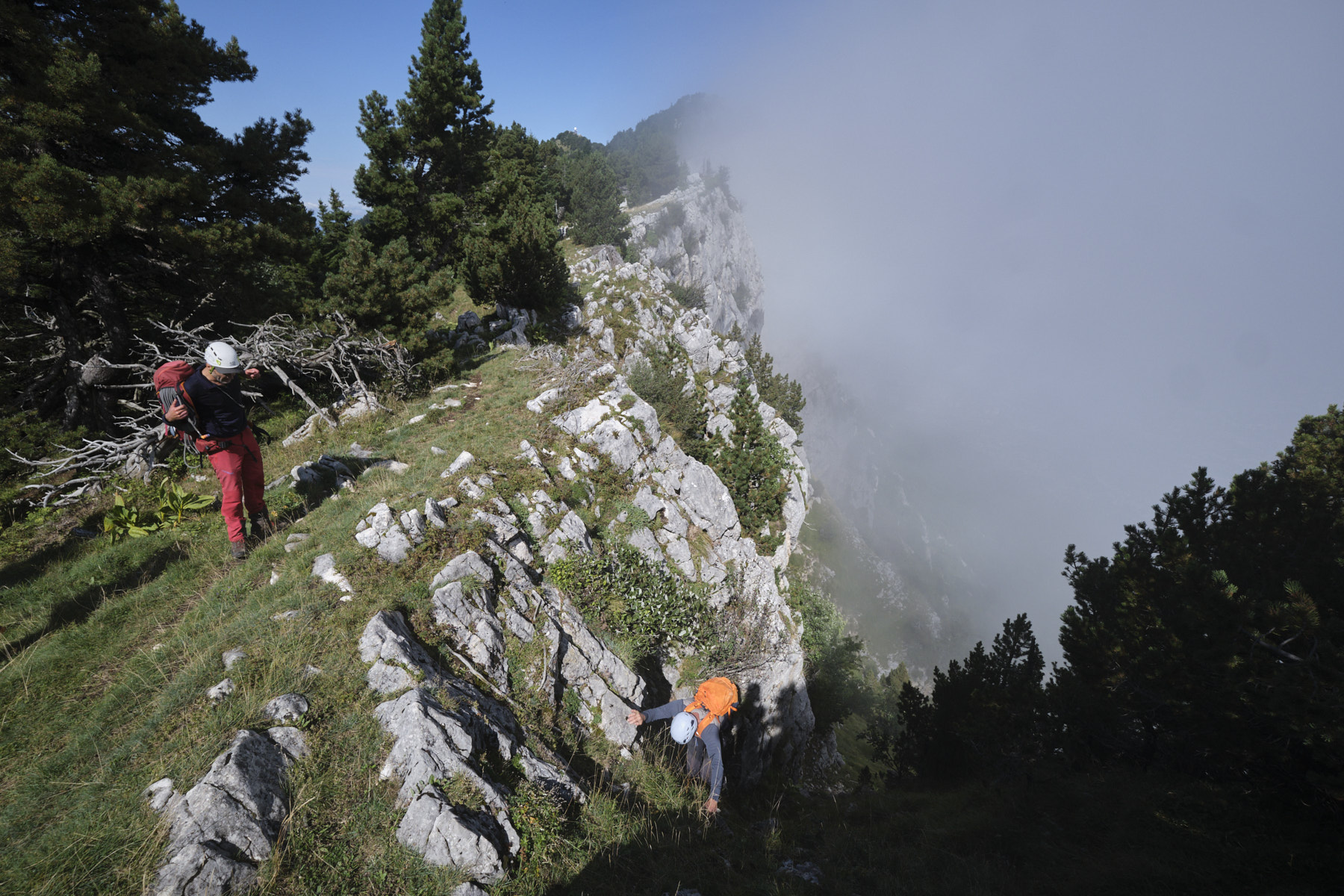
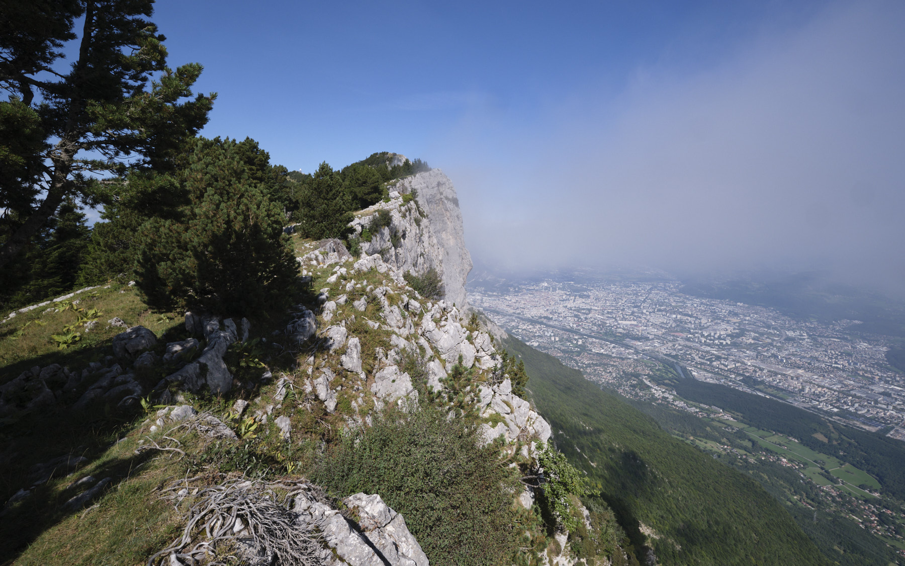
Based on a highly original idea by Pascal Sombardier, this is a colorful route that is quite unclassifiable in terms of the difficulties involved: aerial abseils, a route of almost permanently exposed ledges and couloirs, a long caving passage in a cliff-side cave and an off-path route on often unstable terrain. In short, this is an adventure in itself, for those willing to commit themselves to discovering an incredible itinerary on the great eastern walls of the Vercors. The atmosphere and panoramic views of the Alps are extraordinary. You'll need time, energy, equipment and the right mental attitude.
❱❱ Technical summary
► Departure point: Parking de la Sierre resort, above Lans-en-Vercors, Vercors, Isère (38)
► Type of route: atypical hike with abseils, exposed ledges, climbing (III max) and caving passage
► Estimated distance: 10 km
► Cumulative elevation gain: +500 m
► Cumulative negative elevation gain: -500 m
► Estimated total time: 7h to 9h
► Min and max altitude: 1385 m / 1780 m
► Marking: On the outward journey, GR and small blue dots, on the return GR, totally off the marked trail on the switchback route.
► Equipment in place: lunules or pins on abseils
► Equipment to be provided: straps to be re-equipped on lunulas or trees, quick links, abseiling equipment including a 2x50m, headlamp for the cave
Difficulties: mainly exposed ledges, very narrow in places, sections to be climbed in III max but exposed, very steep grassy corridors, several abseils including some very aerial ones, route finding, often unstable terrain or uncertain rock.
❱❱ Access to the place
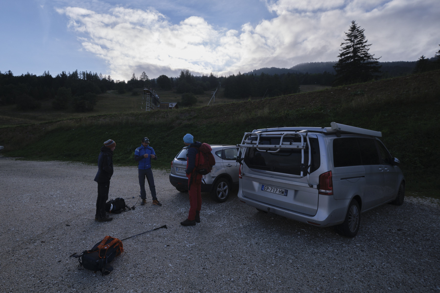
Drive to Lans-en-Vercors and head up towards the Sierre ski resort. Park in the large parking lot at the last bend under the ski lifts.
❱❱ Map & topo
The route on the ledges (in violet) is merely indicative, and the exit is also approximate. The start in the Saint-Michel hole is about 200m below the IGN indication (location error).
❱❱ Itinéraire
For further details, please refer to the original topo written and published by Pascal Sombardier on his website.
Part 1: from the parking lot to Trou Saint-Michel
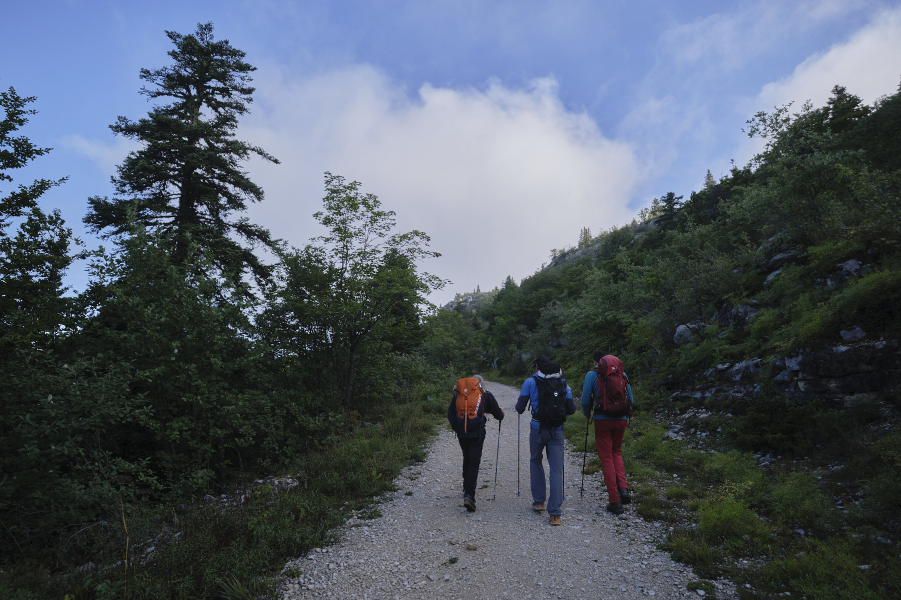
Take the GR heading north towards the Abri des Ramée. A little before, in a clearing, go right on a small path, not very visible but marked with small blue dots, heading east towards the ridge. Once on the edge of the cliff, follow the blue dots down to the trou Saint-Michel. Its location on the IGN map is incorrect: it's actually around 200m further south.
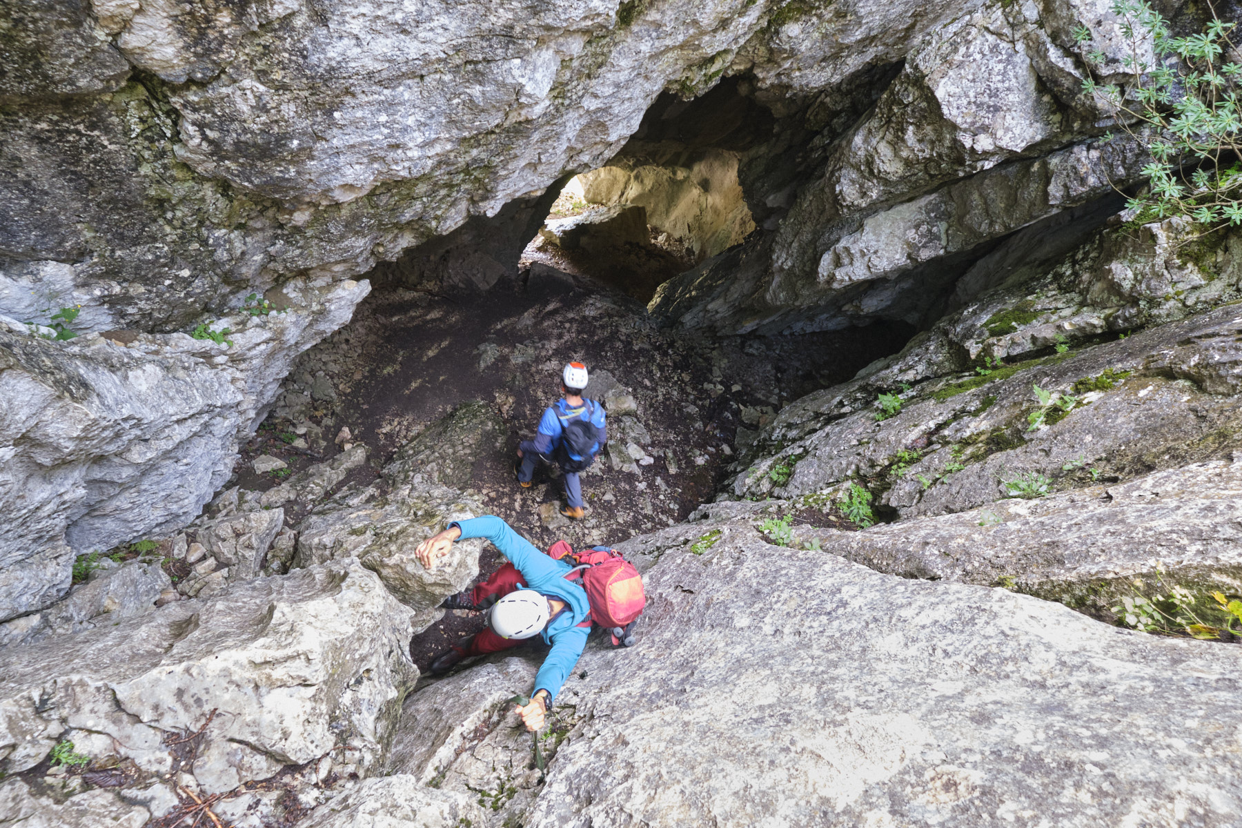
Part 2: Trou Saint Michel, Grotte de la Poterie and Grotte des Lucarnes
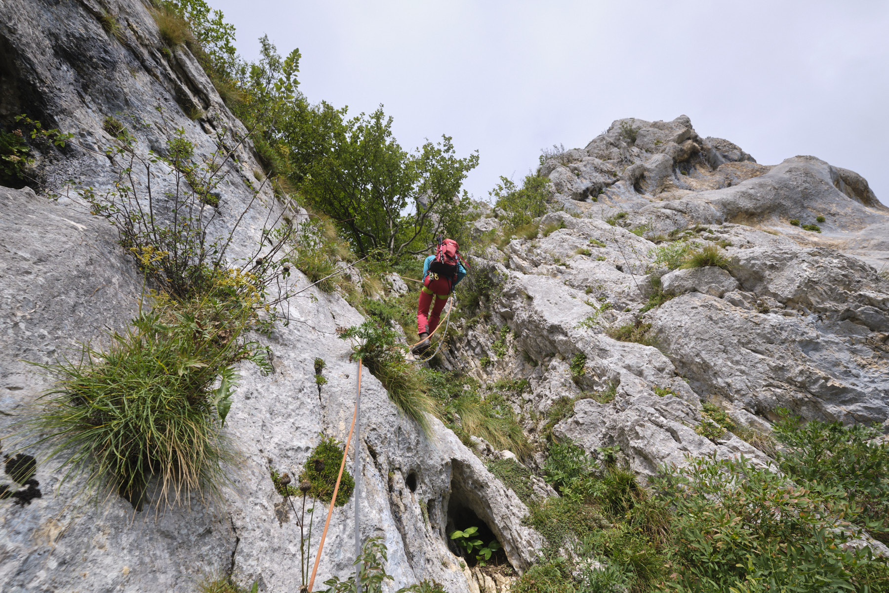
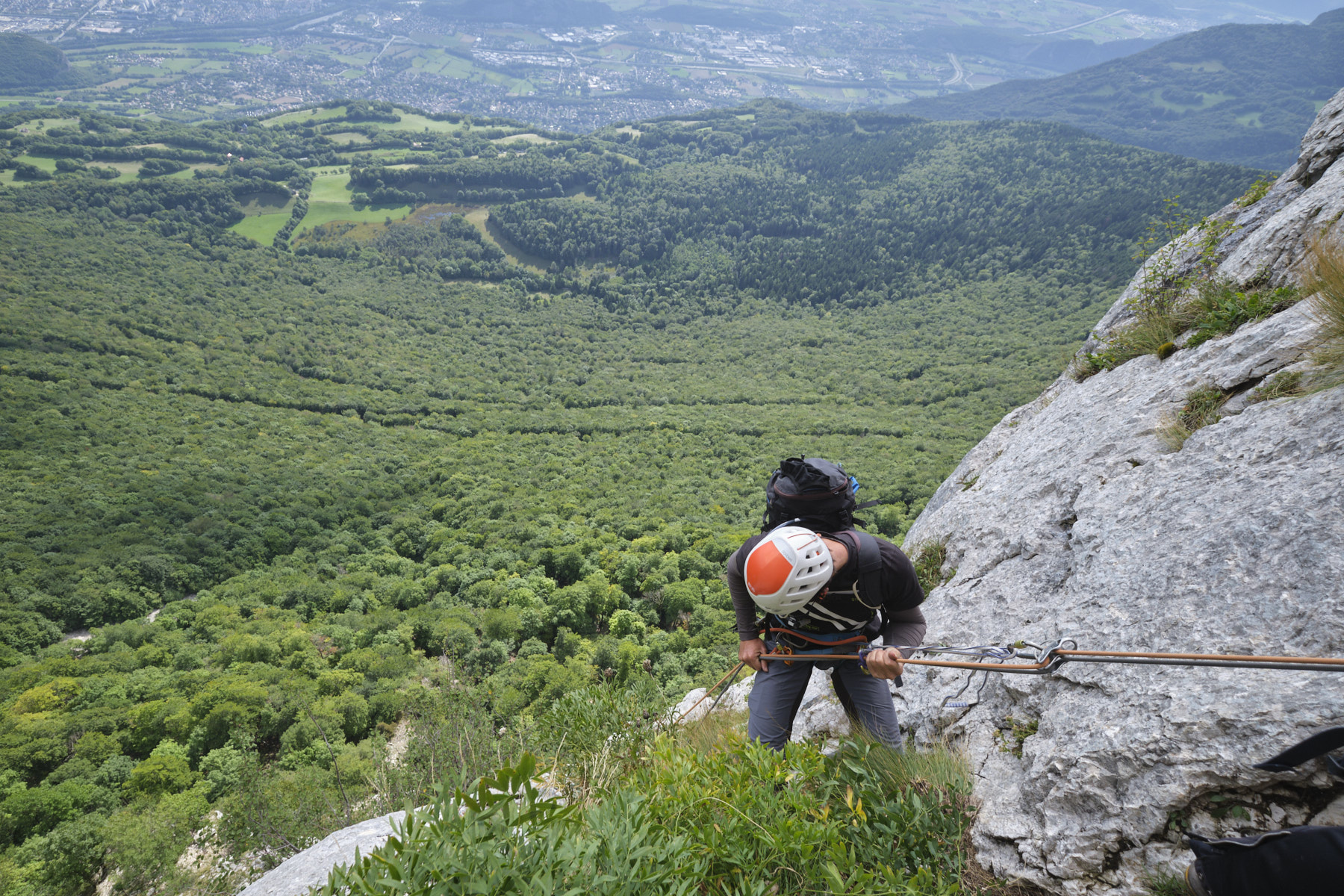
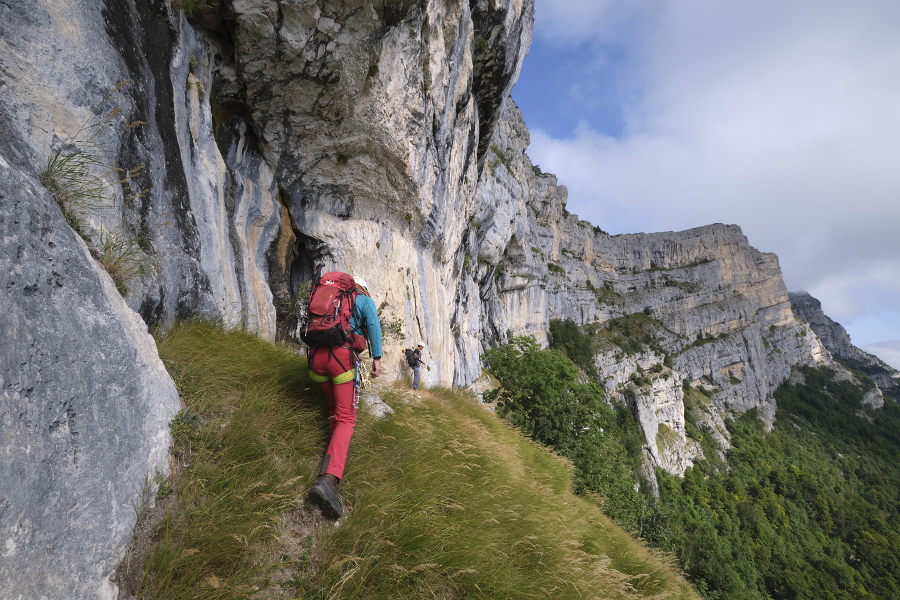
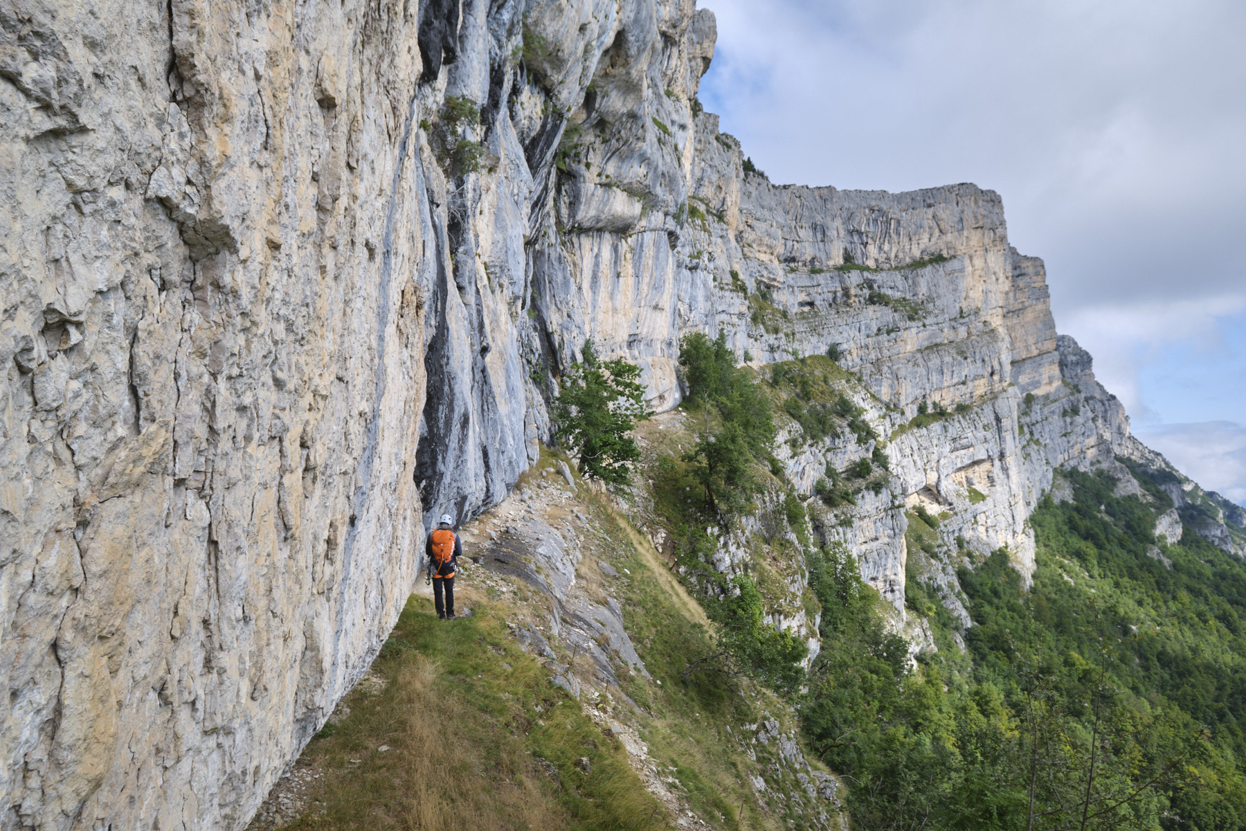
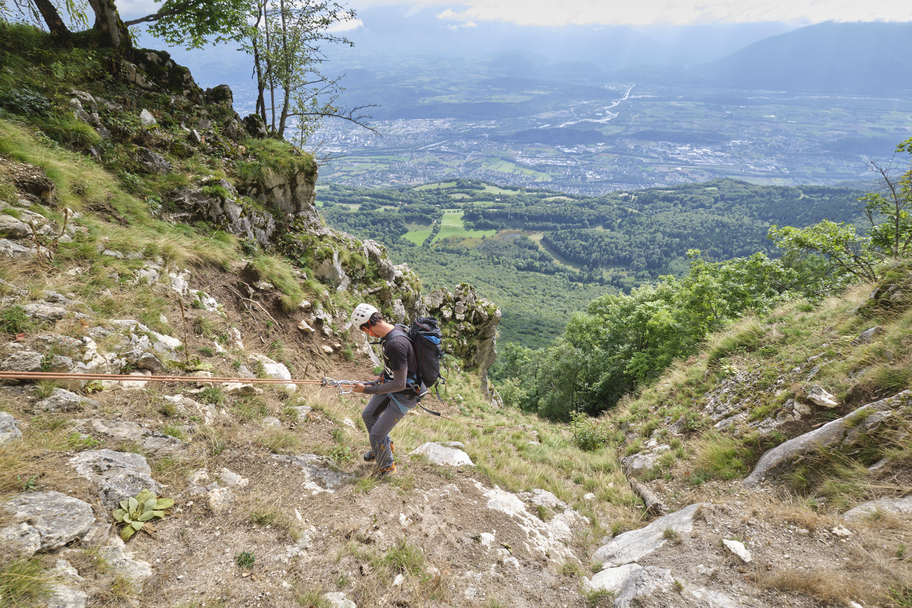
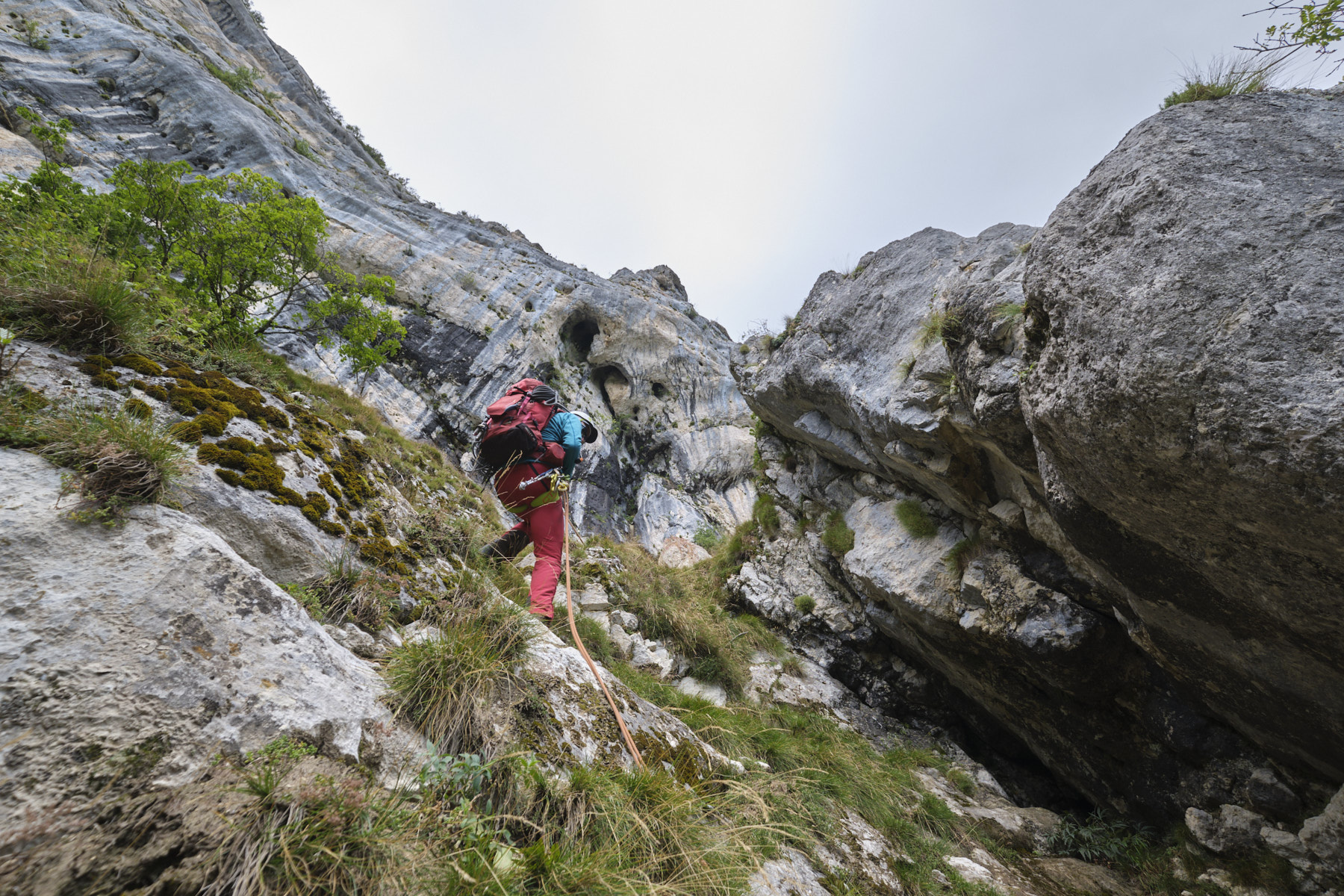
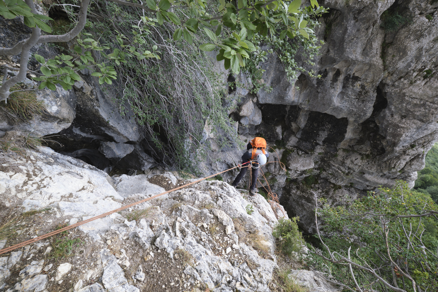
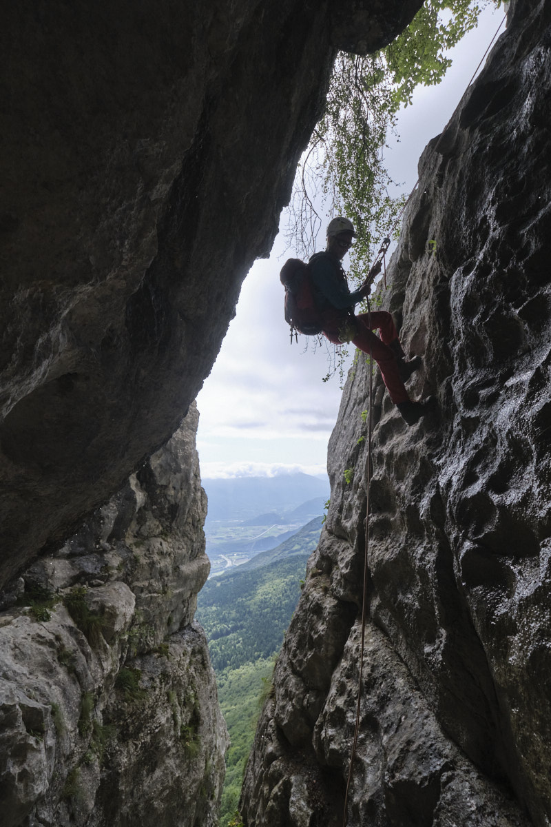
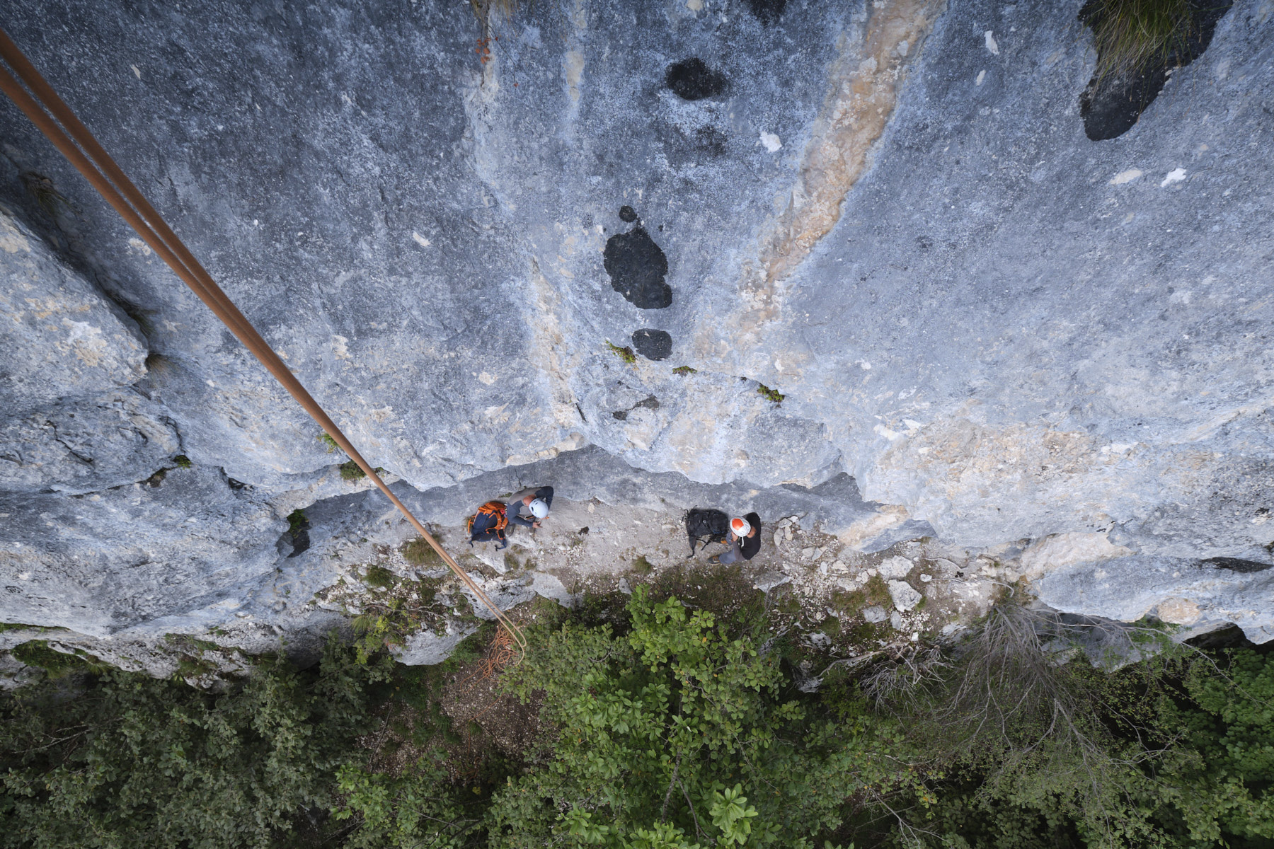
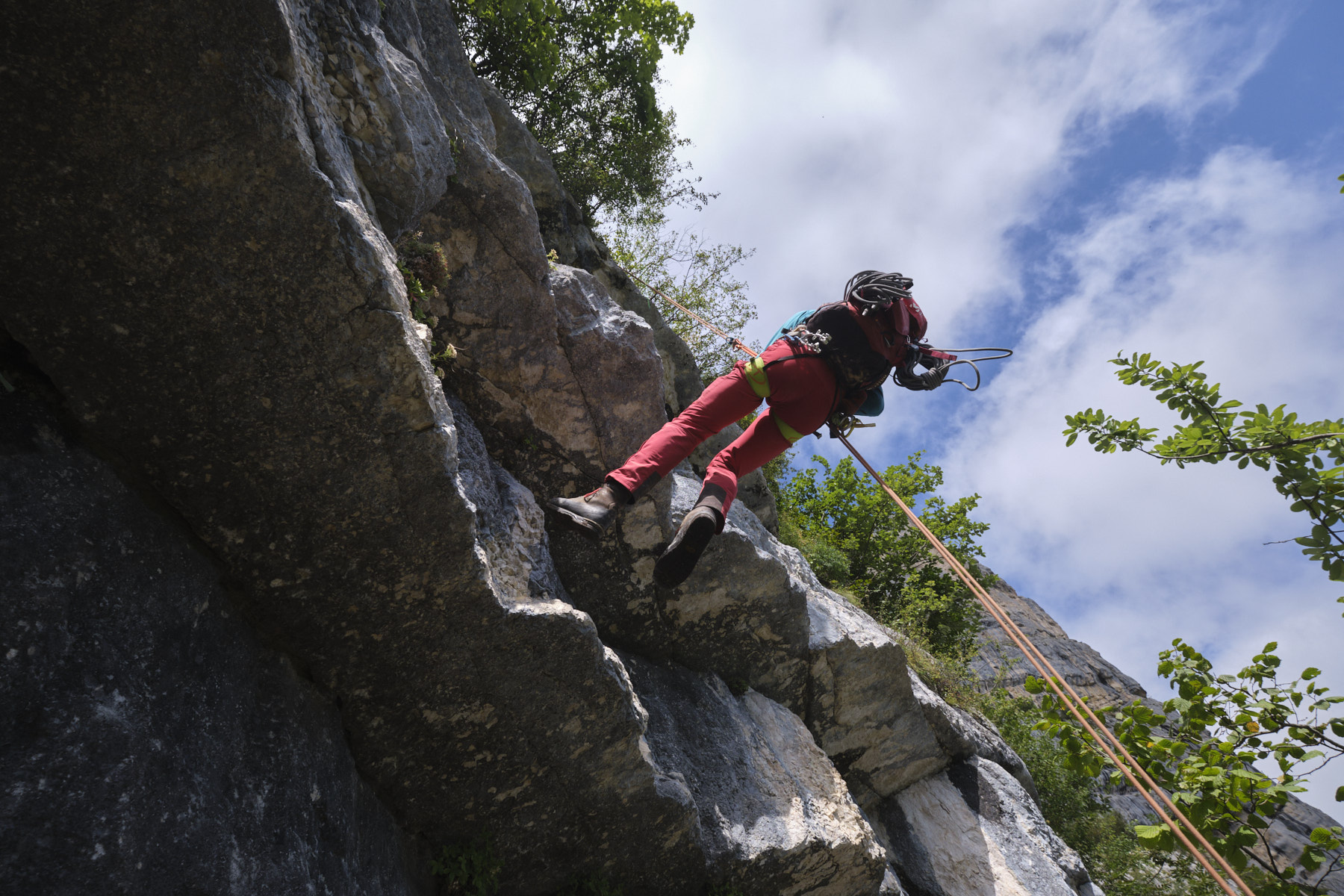
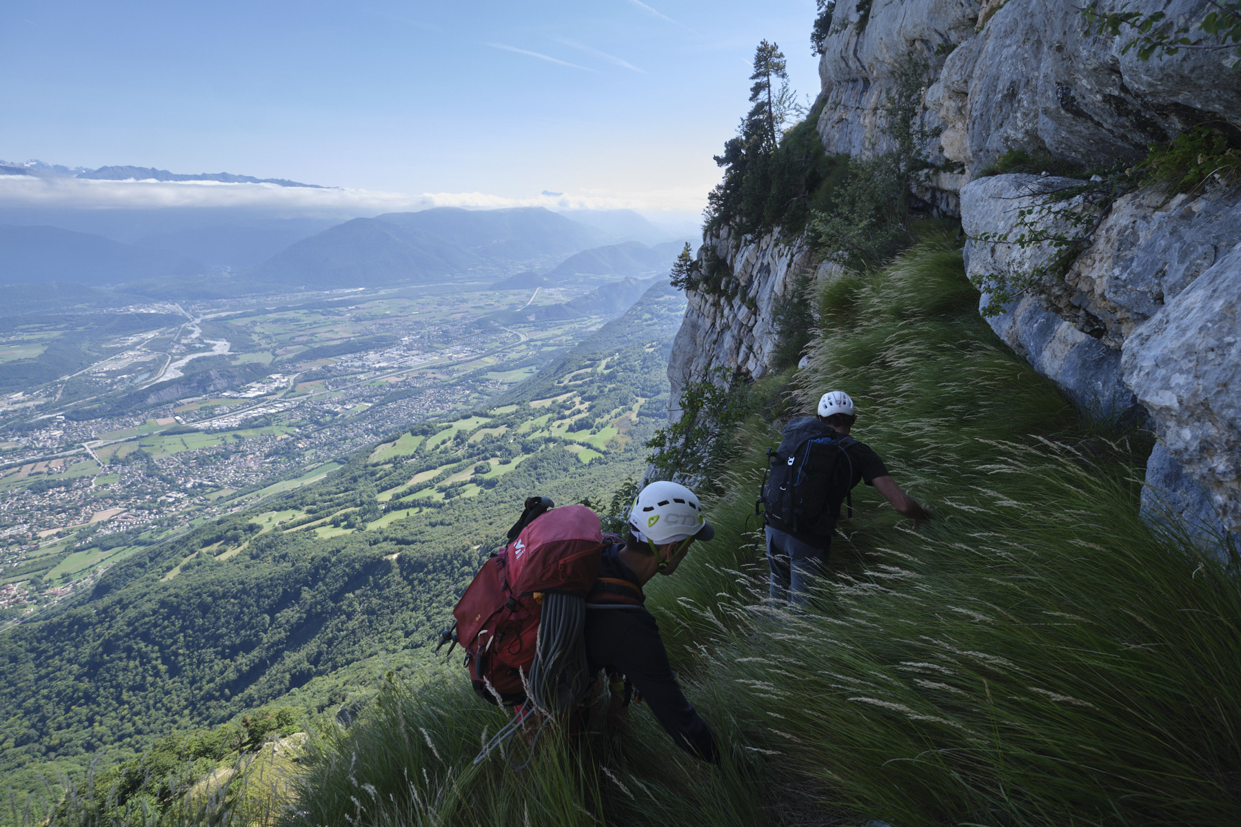
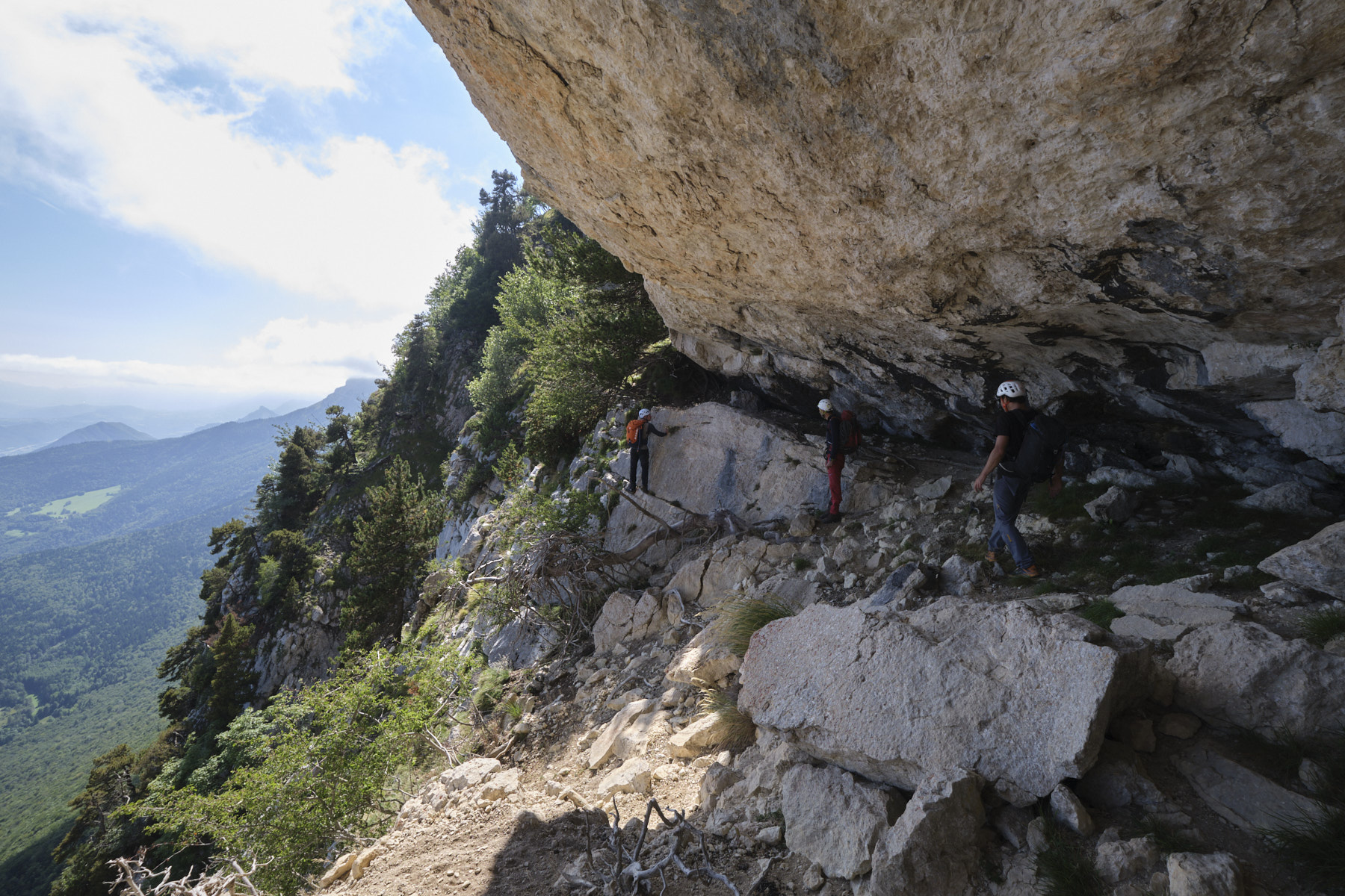
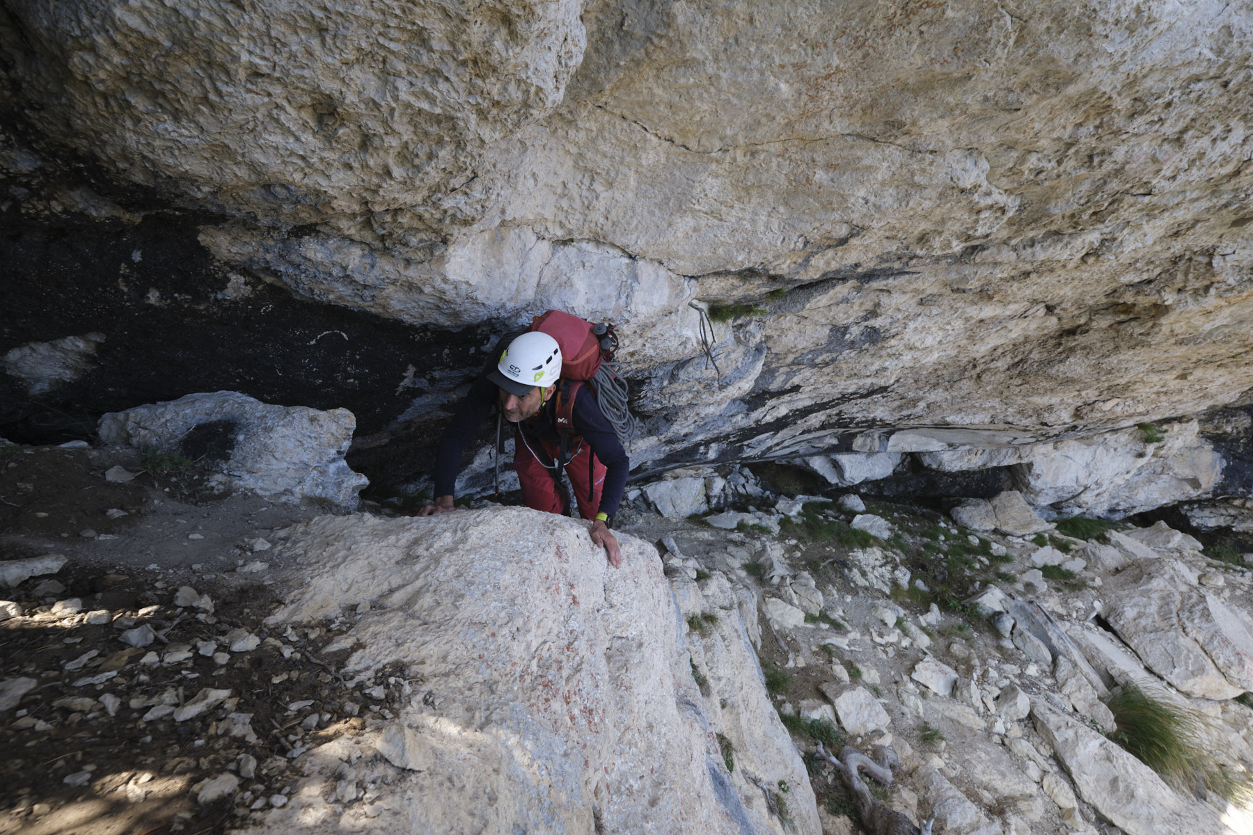
Unclimb the hole without too much difficulty (III max but a little slippery), or place a rope to secure it (lunula on the right). Cross the wall to exit onto a small grassy plateau on the cliffside. Then descend to the right on an airy grassy slope and skirt slightly to the right to find a first belay point. Abseil about 20m down an earthy couloir (possible de-escalation) to find a second belay in the trees (straps). Descend this time about 30m (watch out for flying stones!) to reach a small eagle's nest suspended above the large wall with the installation for the next abseil (rather narrow). This 3rd abseil is 50m long and very vertical and aerial. We finish the flight on a fairly comfortable ledge. We then set off northwards, following this beautiful ledge along the base of the wall.
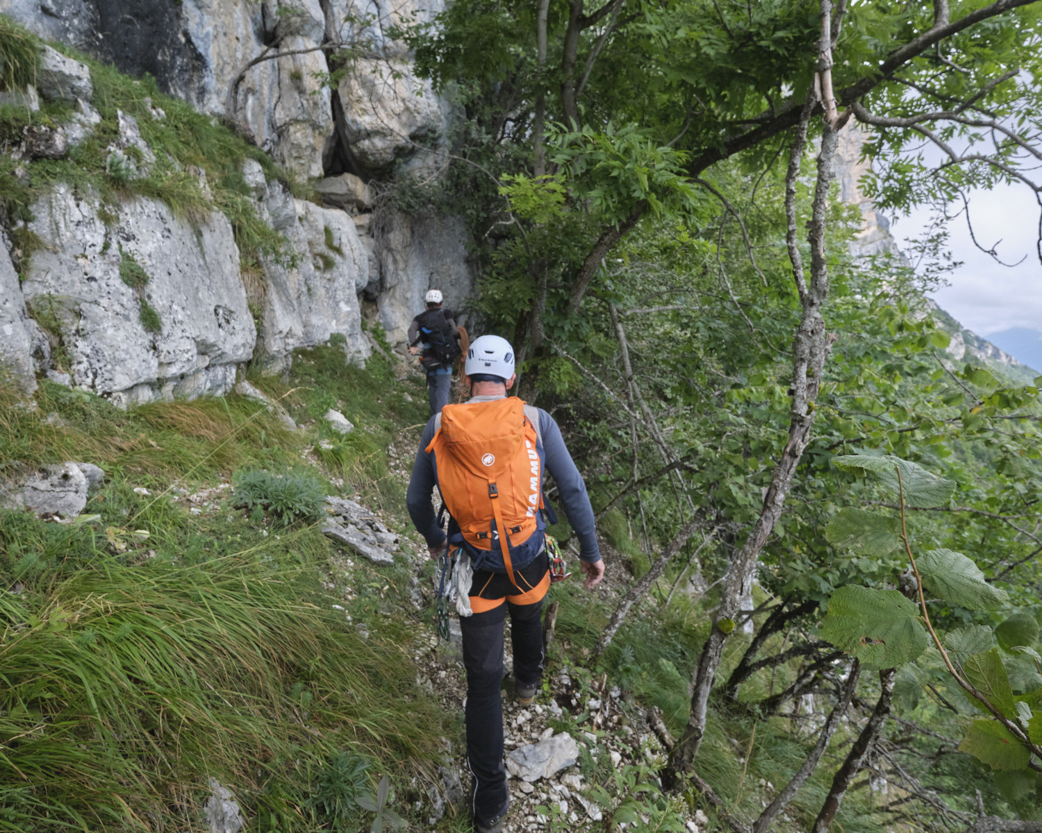
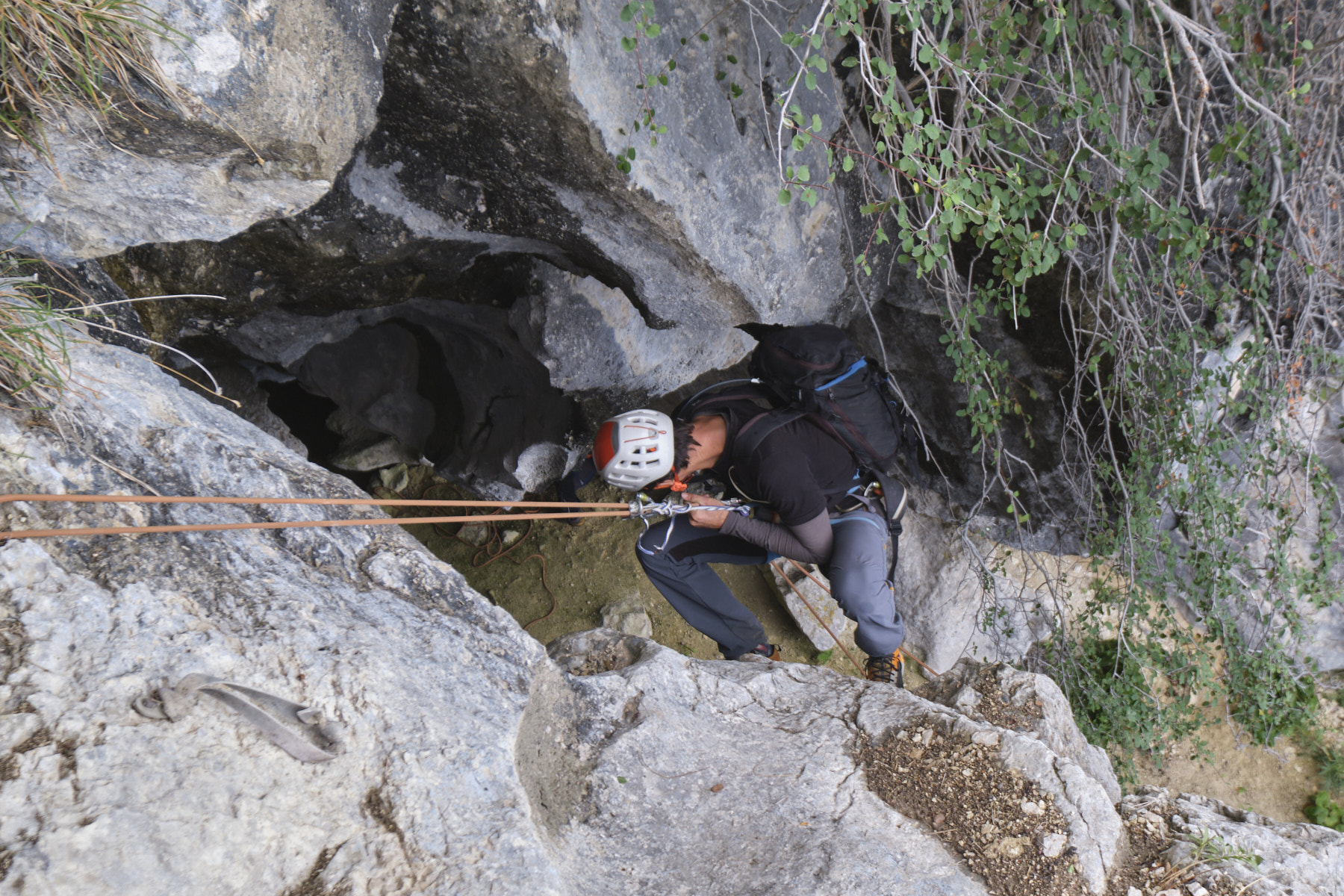
Walk along the ledge until you soon find a steep, earthy couloir that you have to abseil for around 30m (installation at the top in the axis). From here, head north on the path through the undergrowth. You'll soon discover the 1st grotte de la Poterie, in a nook on the left. Continue along the narrow, exposed ridge. Find your way by skirting the walls, pass a small traverse by crouching at the edge of the void and reach the abseil of about 10m which gives access to the entrance of the grotte des Lucarnes.
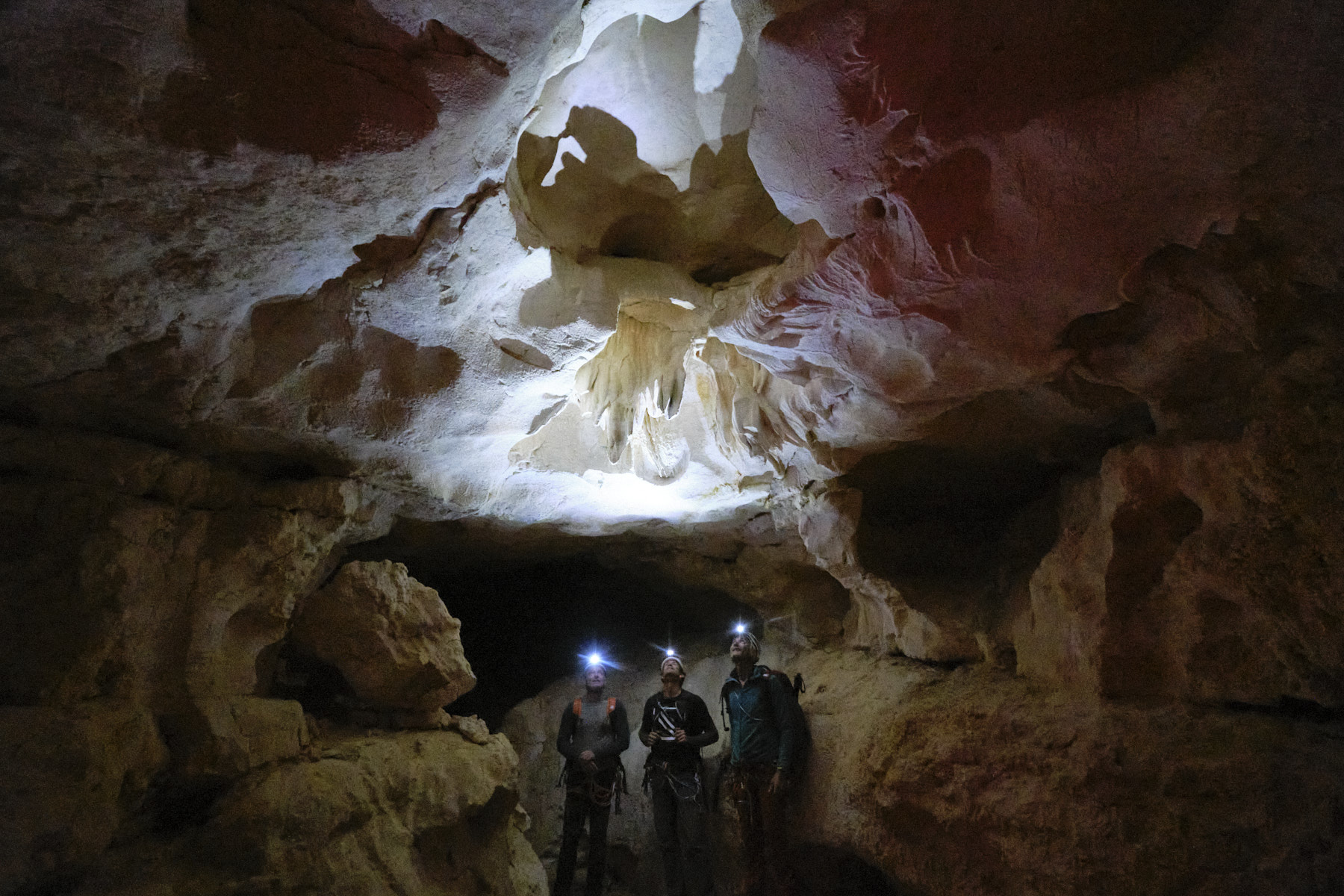
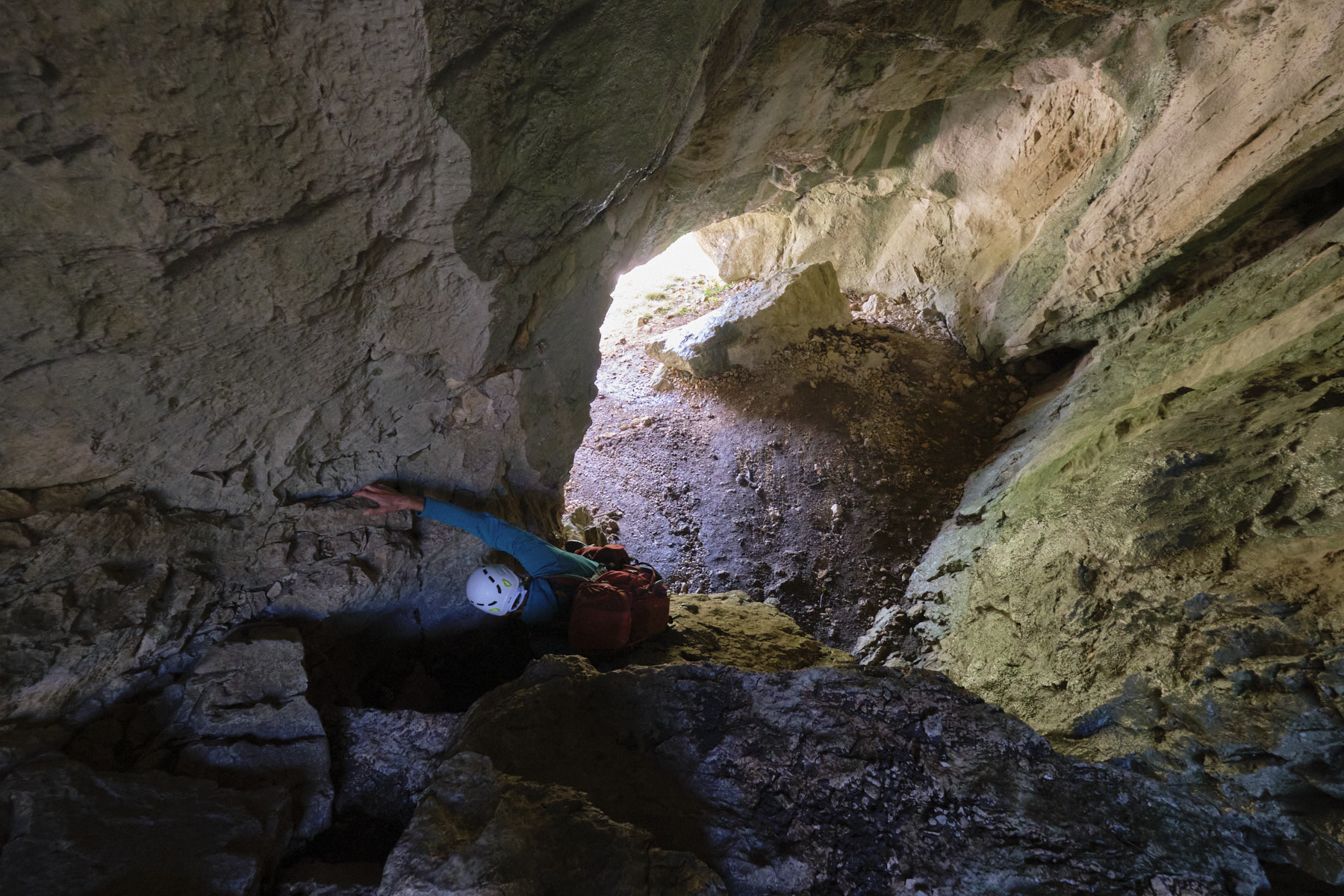
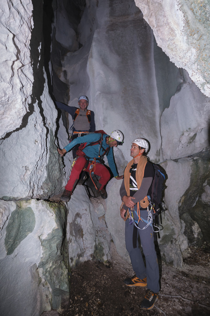
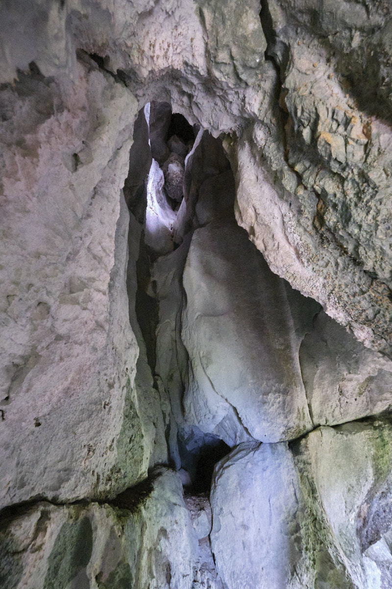
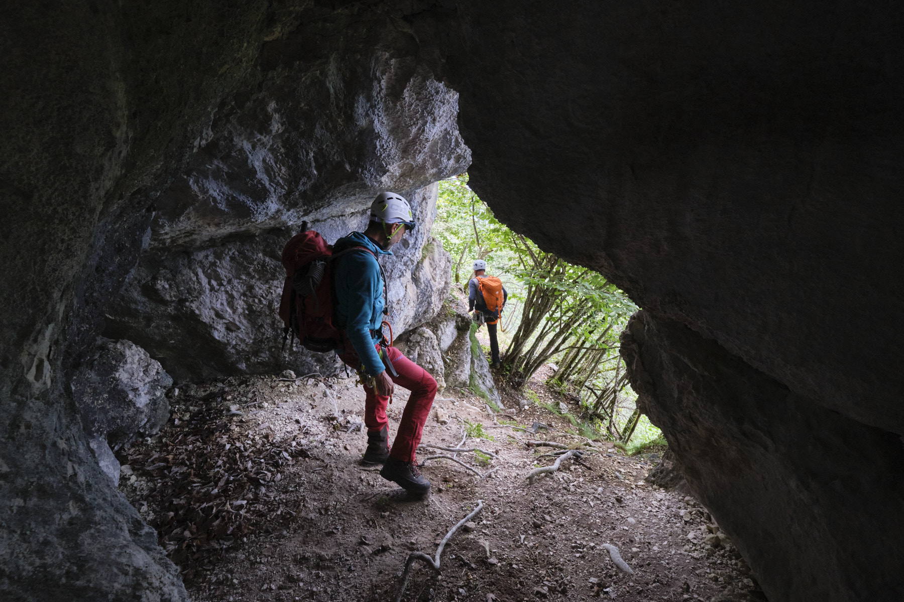
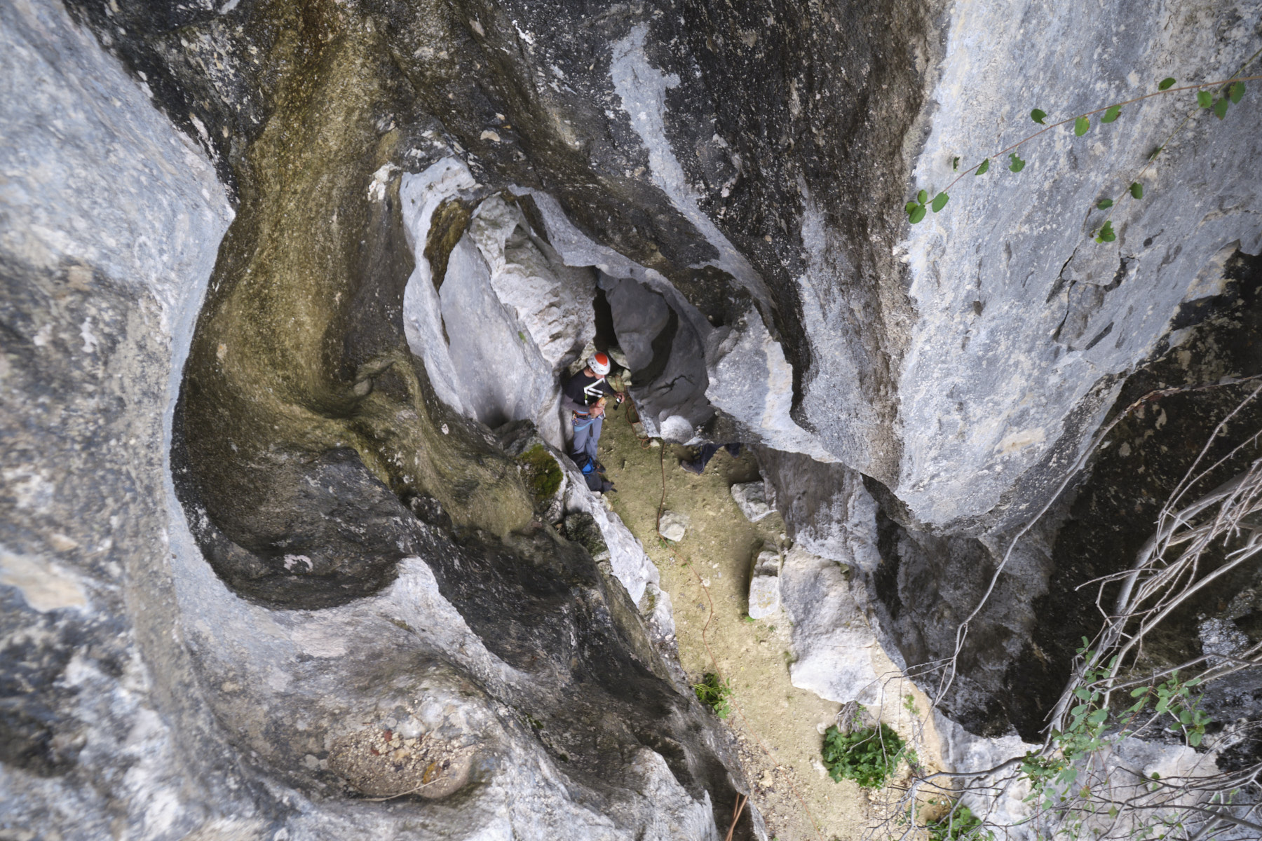
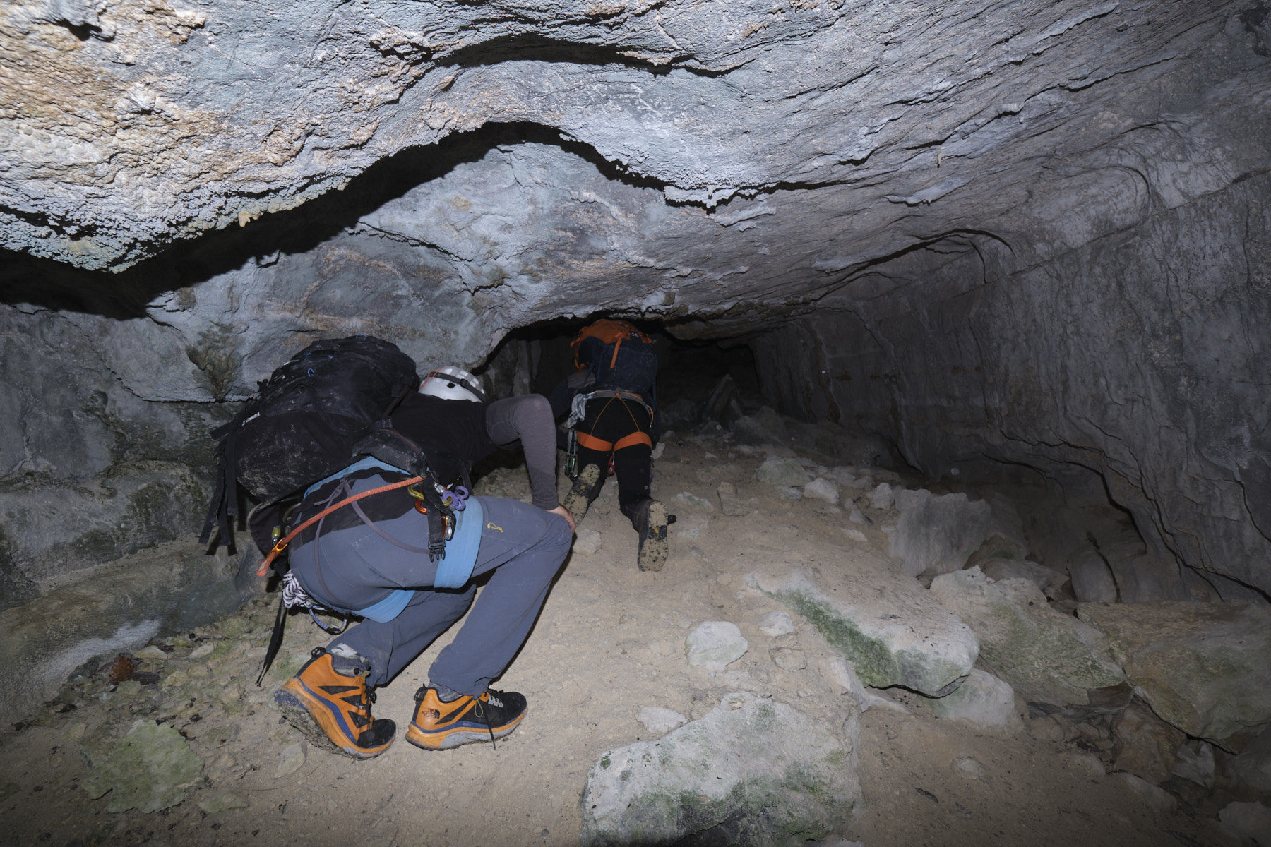
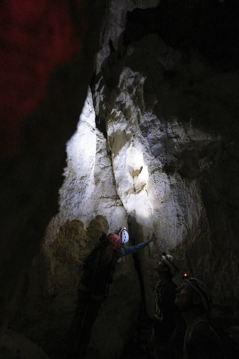
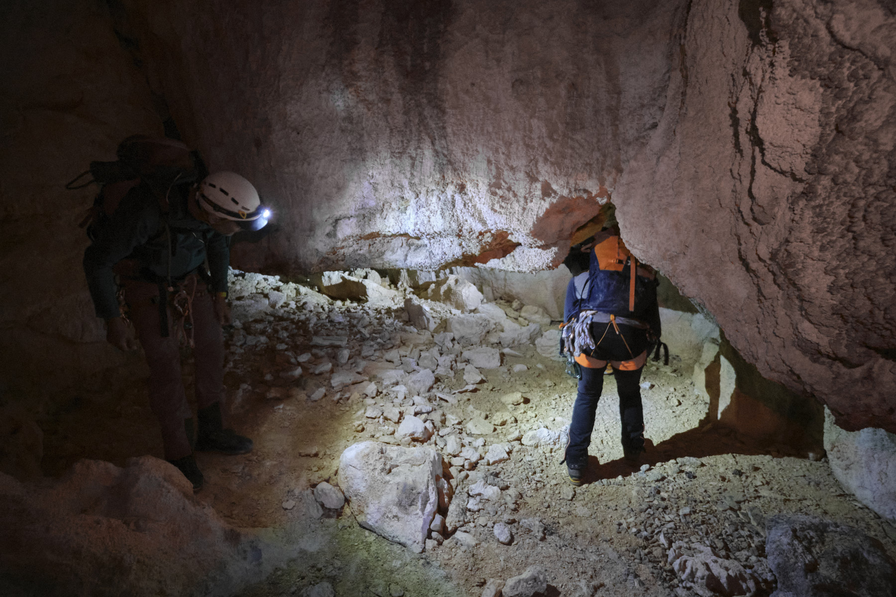
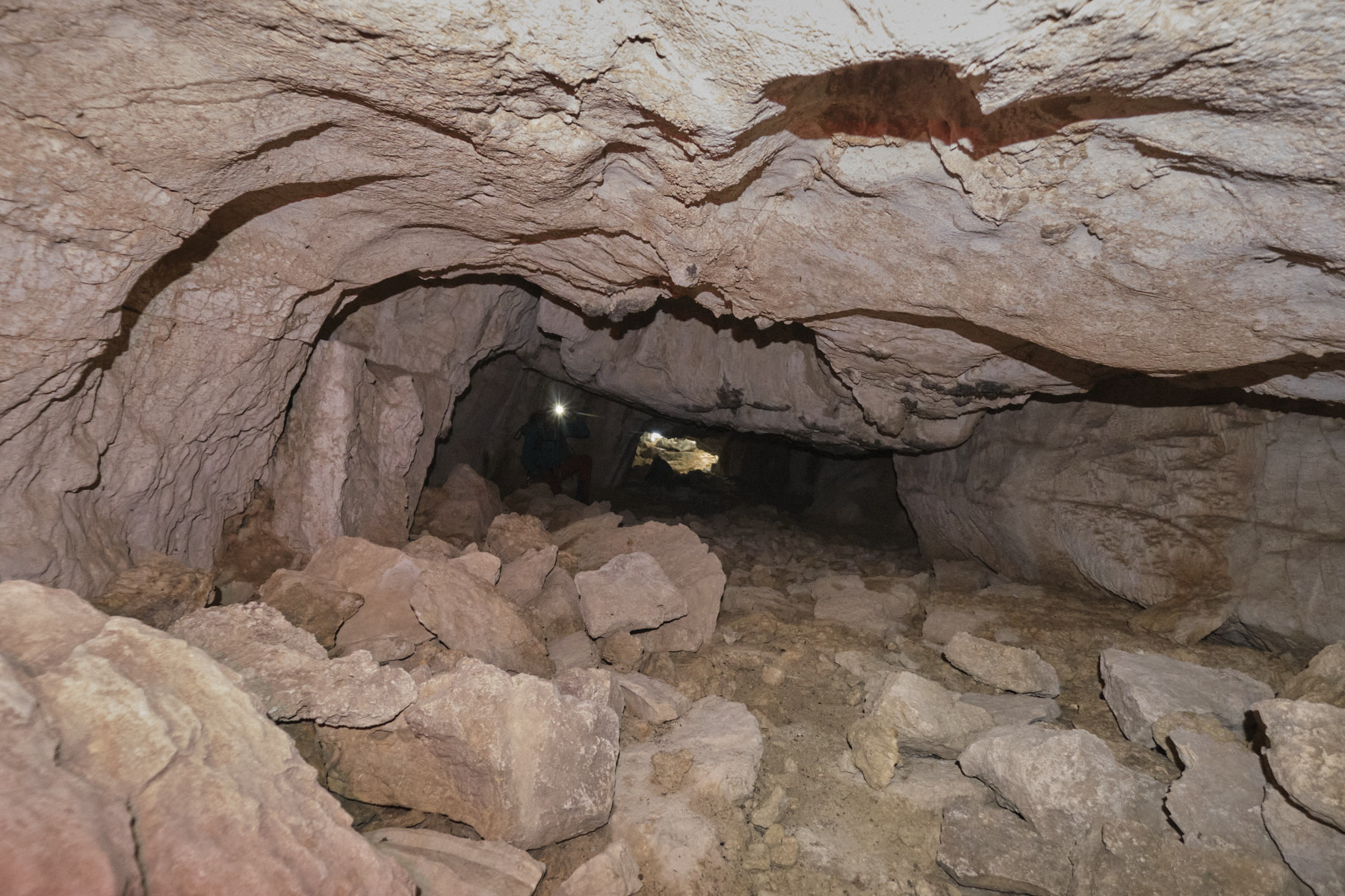
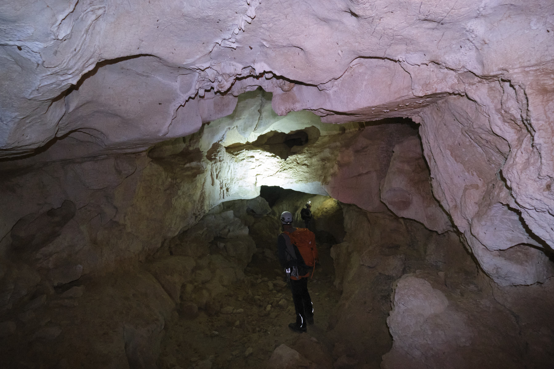
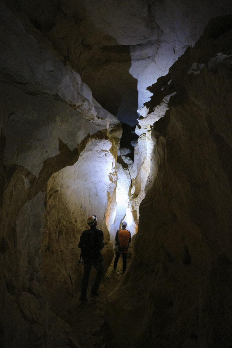
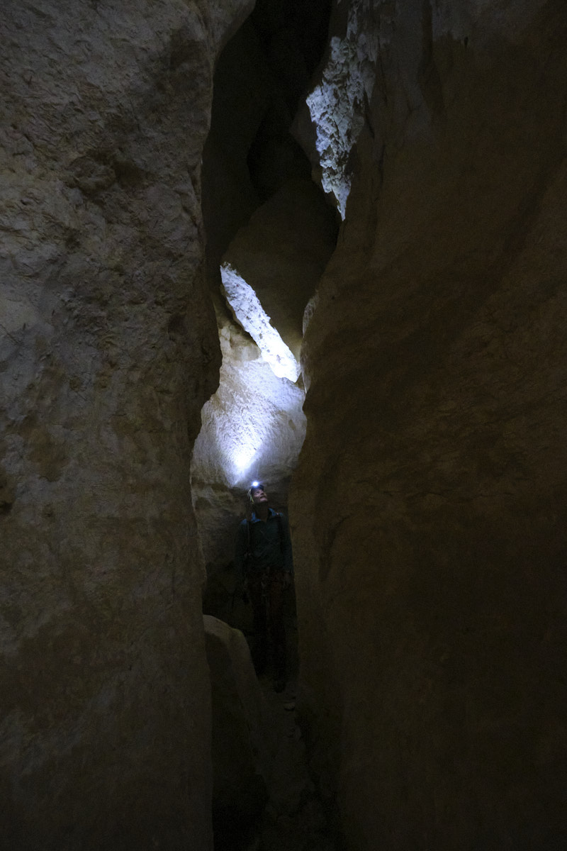
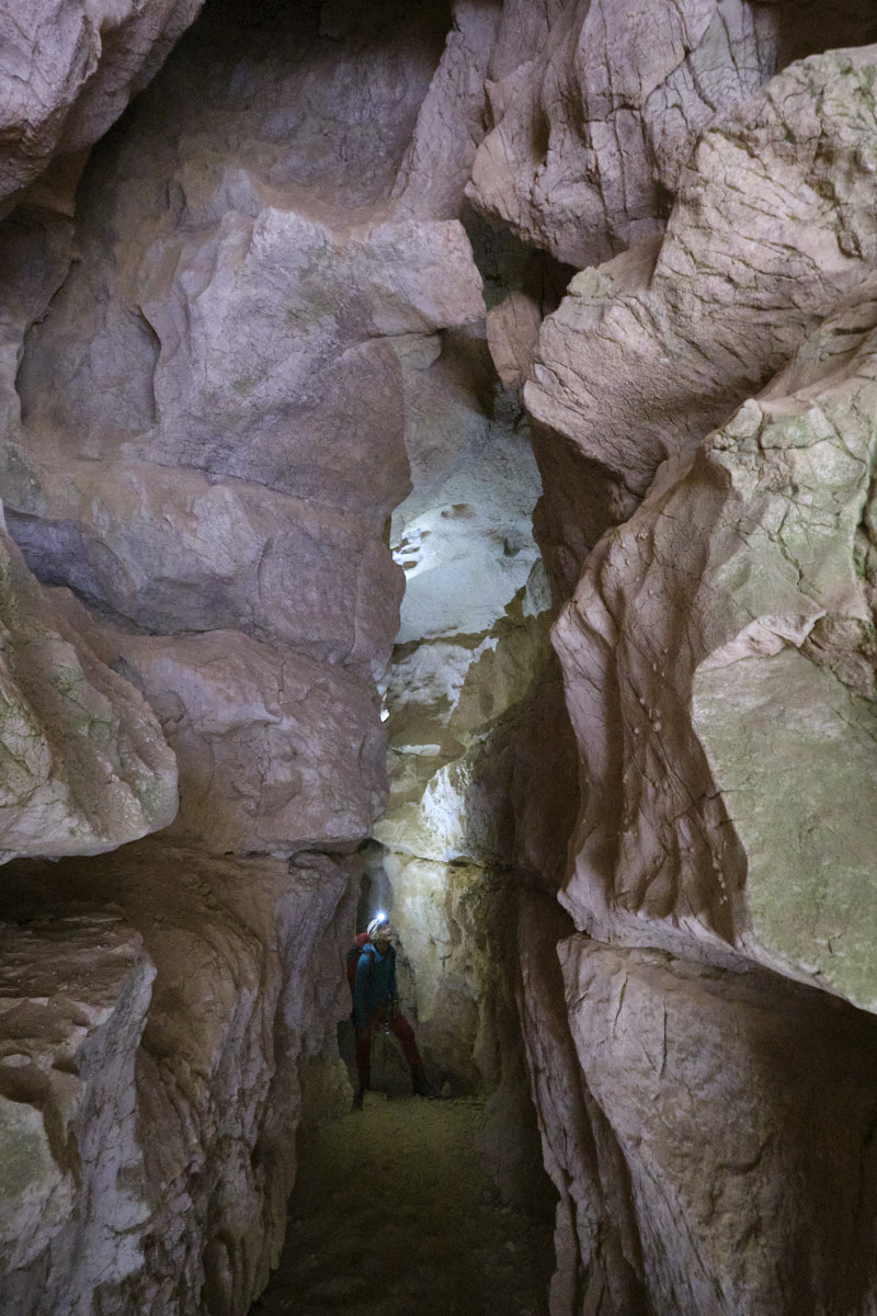
Crossing the Grotte des Lucarnes is spectacular. The entrance is quite low, so you have to crouch or get down on all fours, but the rest of the way is higher. You'll discover impressive interior chambers, with some beautiful rock formations. The corridor then becomes narrower, and you think you're in a mini-canyon with a good deal of height. There's a ledge to unclimb or abseil with a point to the right (5m), then it climbs back up to finally exit through a hole and reach a small ledge where the exit abseil is located (20m). Then below, descend to the right between the trees for a final abseil (20m, aerial finish).
3rd part: the vires and Ranc Malhivert
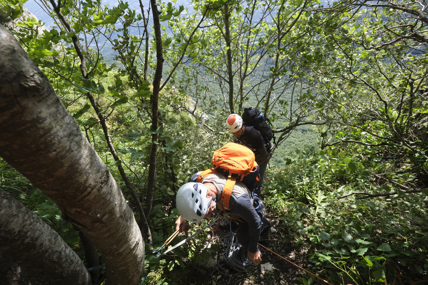
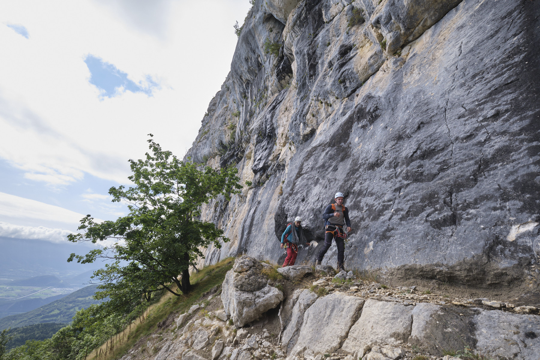
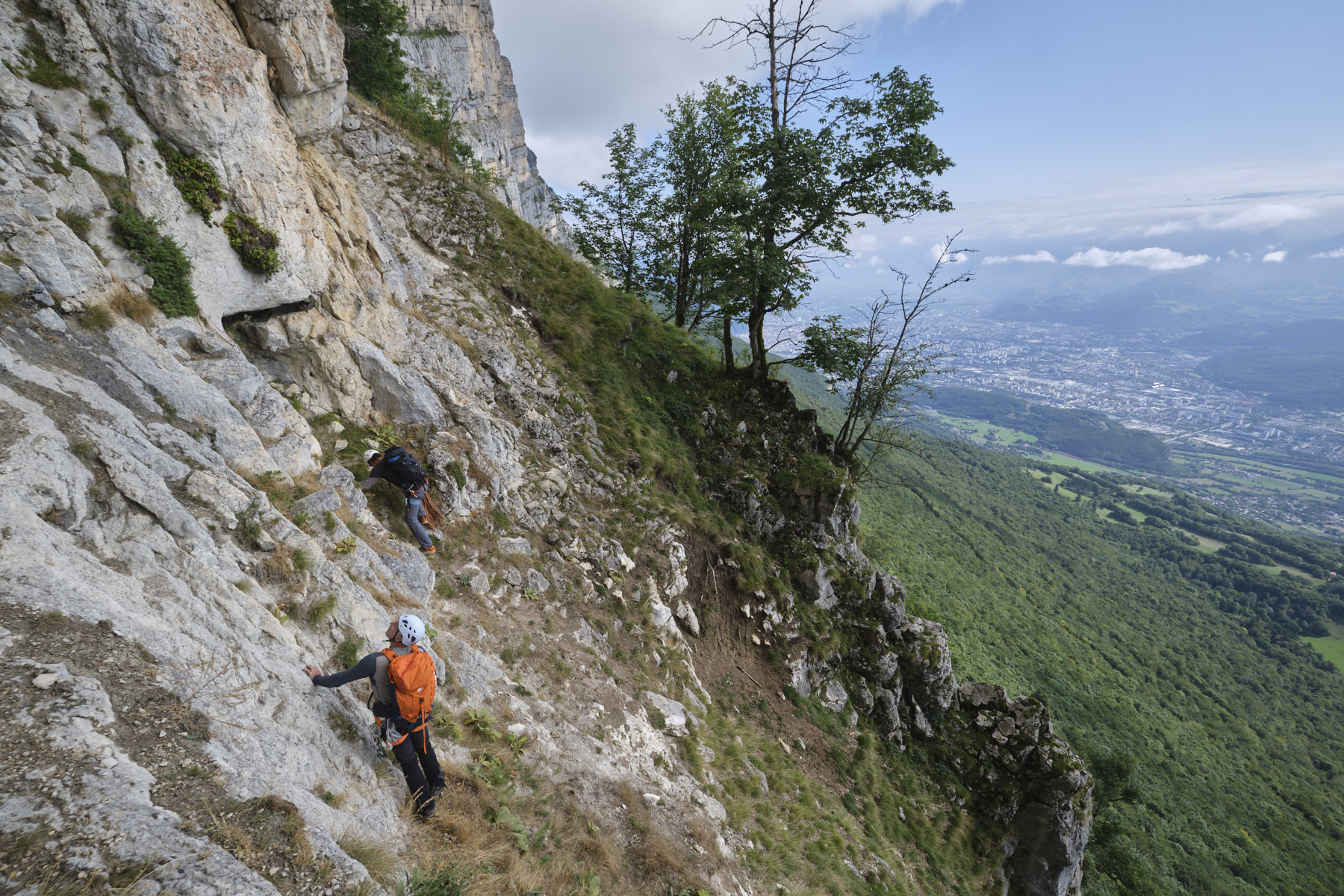
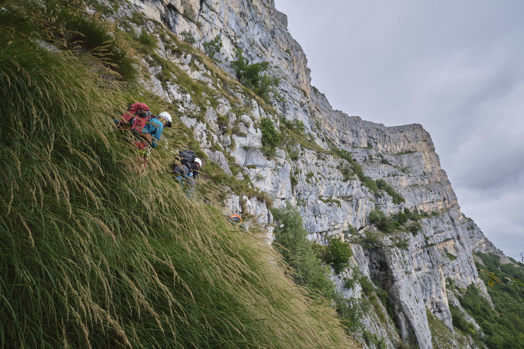
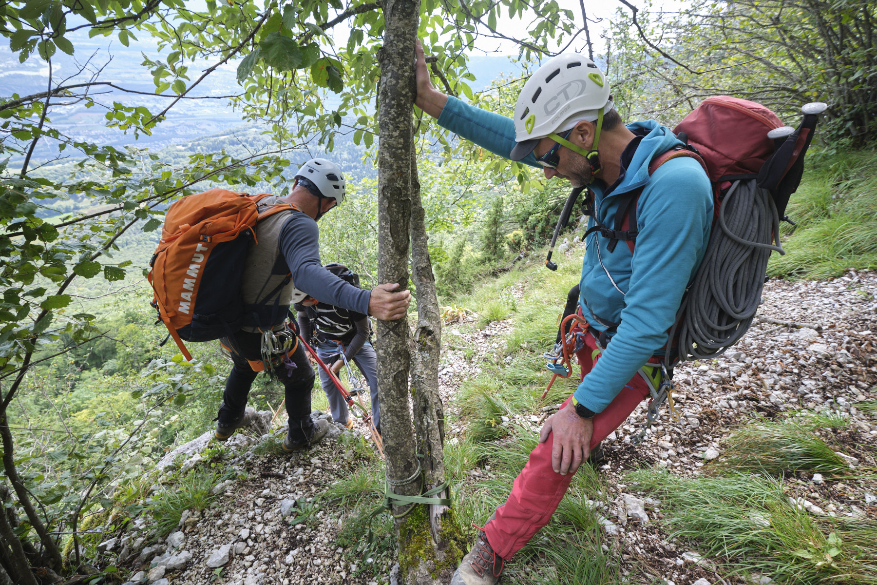
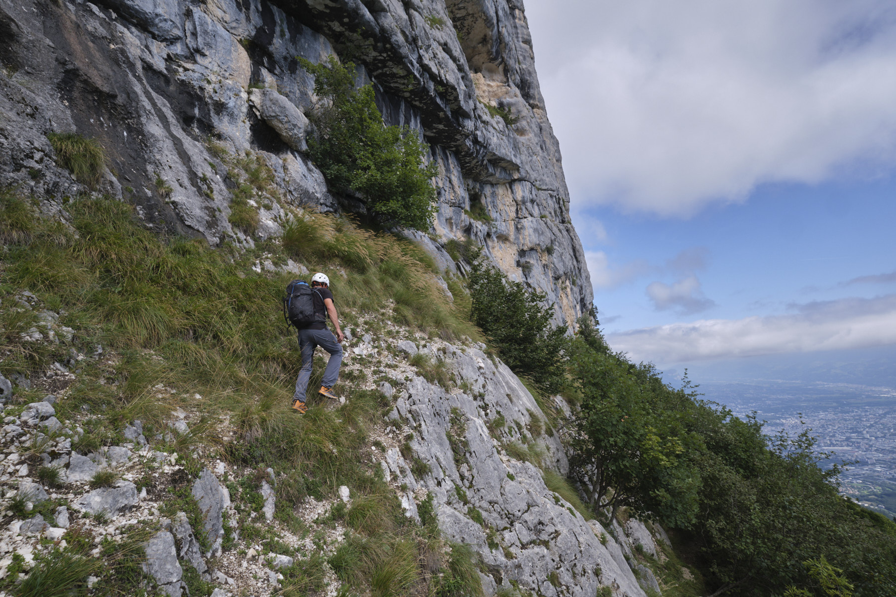
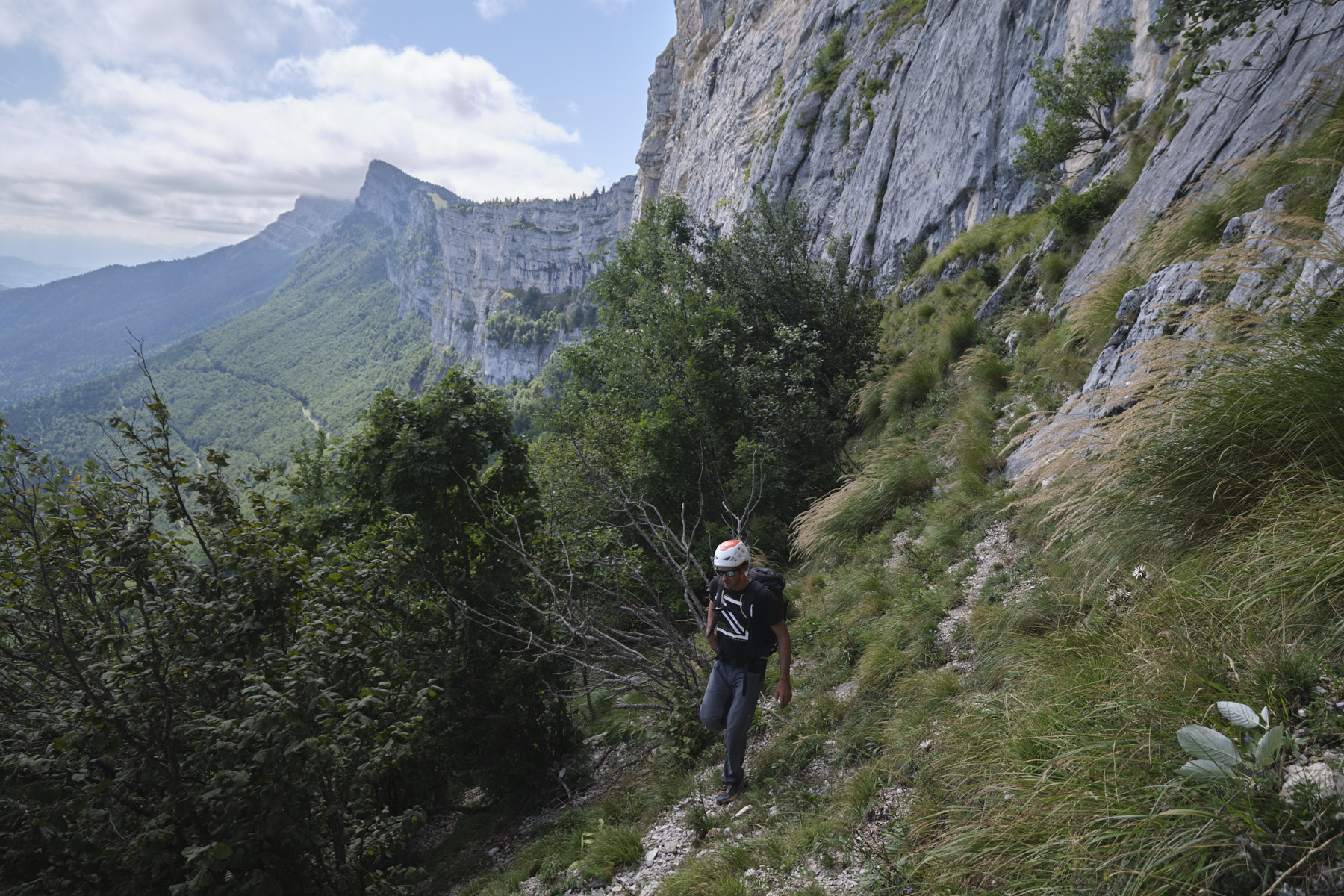
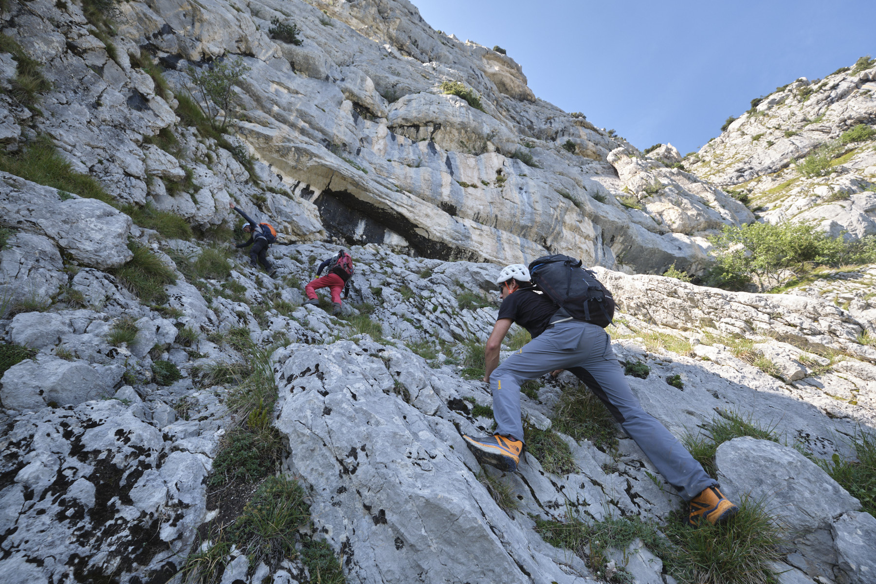
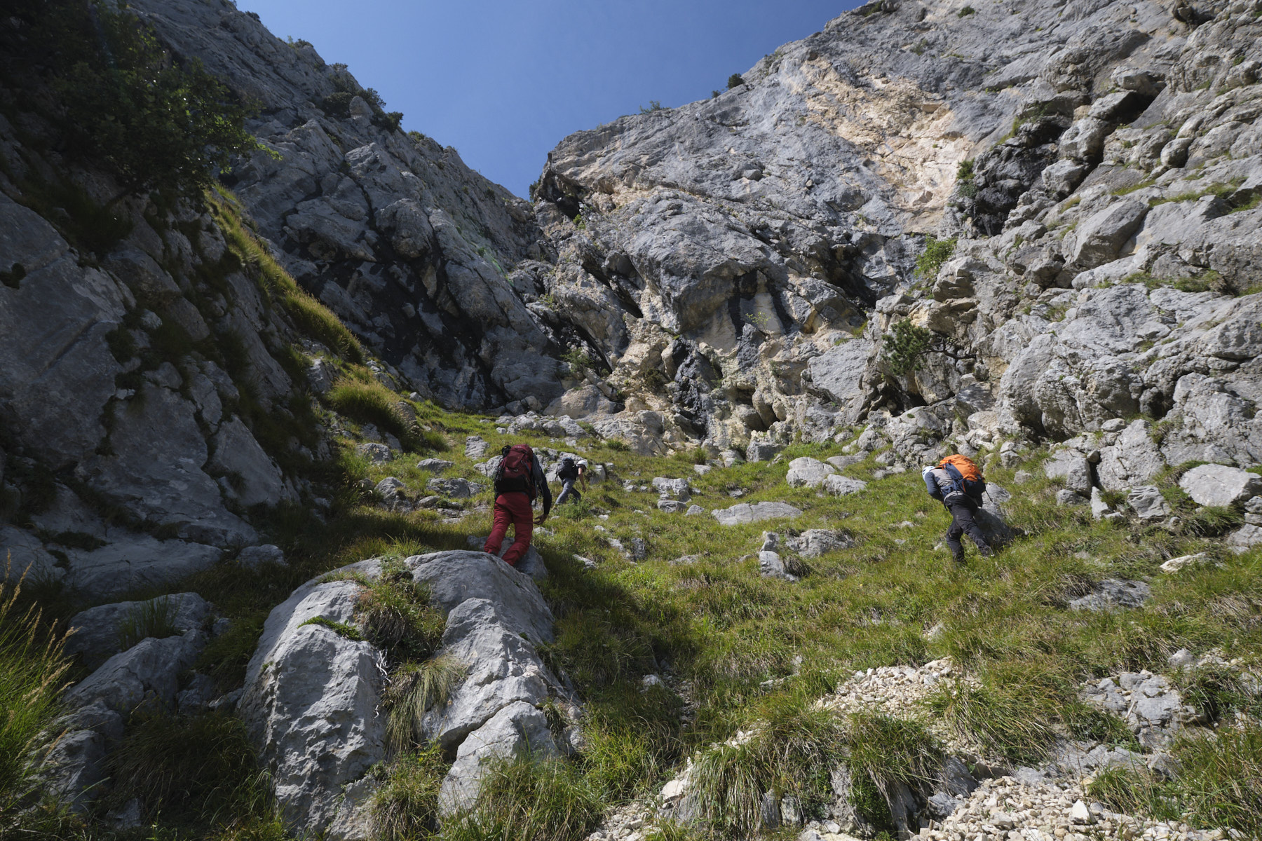
This is in fact the trickiest part, as it's long, there's no clear path and you have to find your way on overhanging and often unstable terrain (scree). Overall, the idea is to continue northwards, trying to stay close to the base of the large walls.
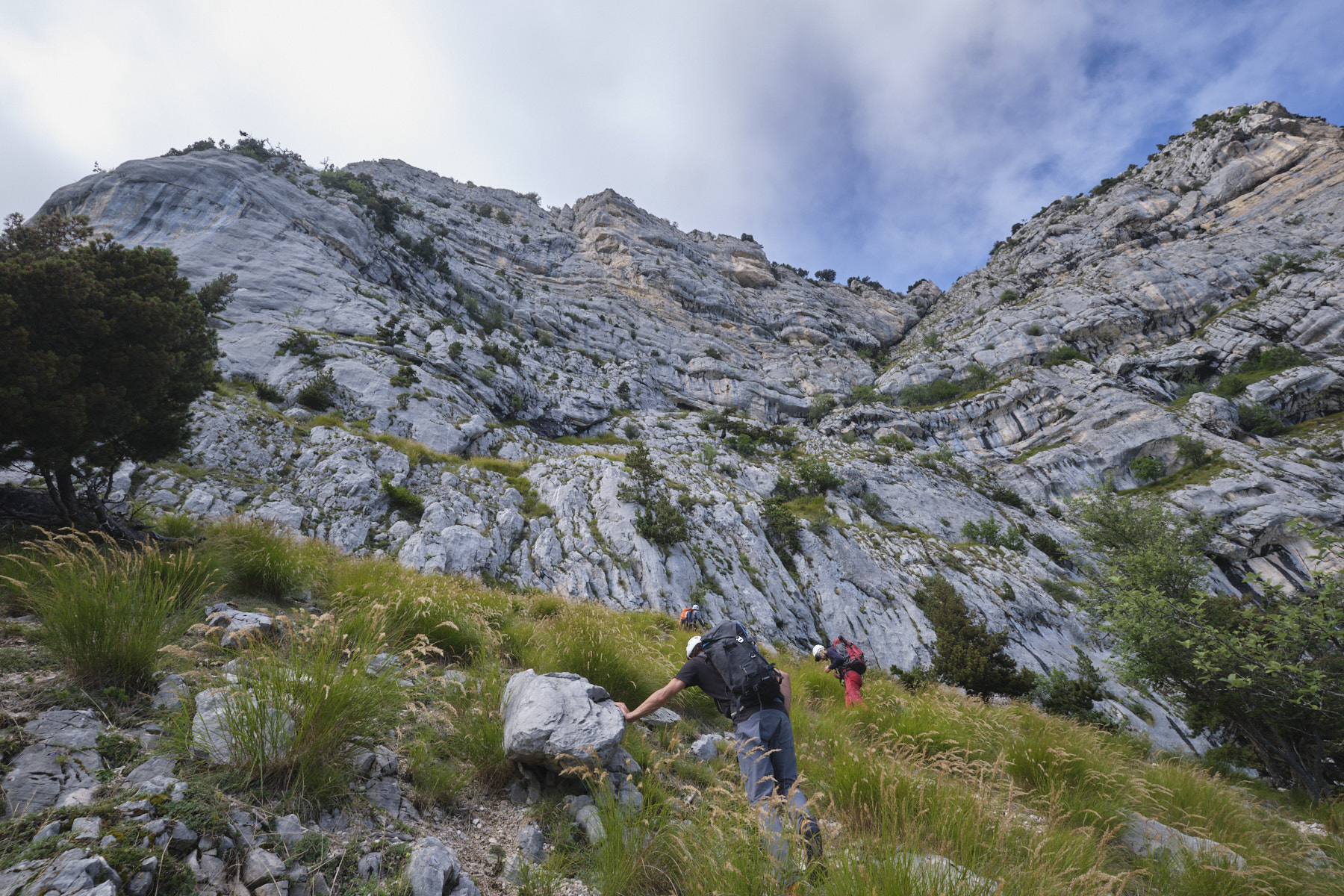
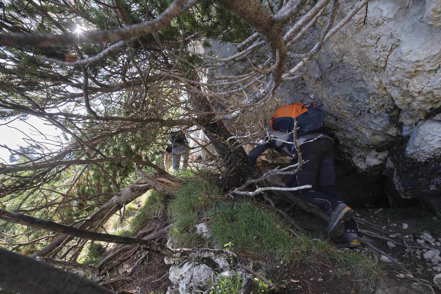
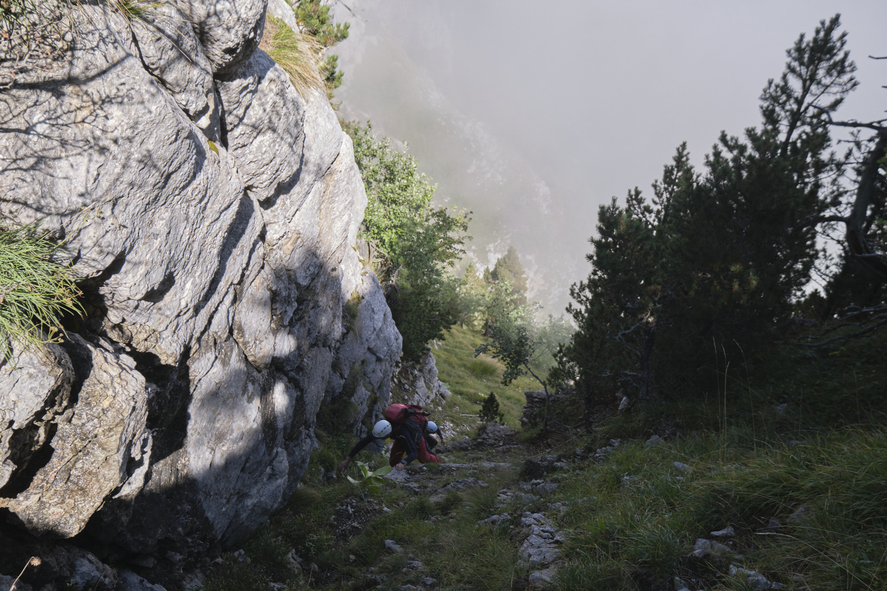
From the last abseil, head left down steep, unstable terrain to find the base of a sort of ledge under the trees. Follow the direction, climbing up from time to time to stay high, but not too high either (not easy at all). After a long and rather chaotic climb, we pass a ridge with a few climbing steps on good rock (III max), then continue for a good while on the flank until we reach a large grassy overhang (the exit of a shoulder that comes forward more clearly). This is where you'll have to start climbing up the walls to exit onto the ridge via the Saint-Michel vire.
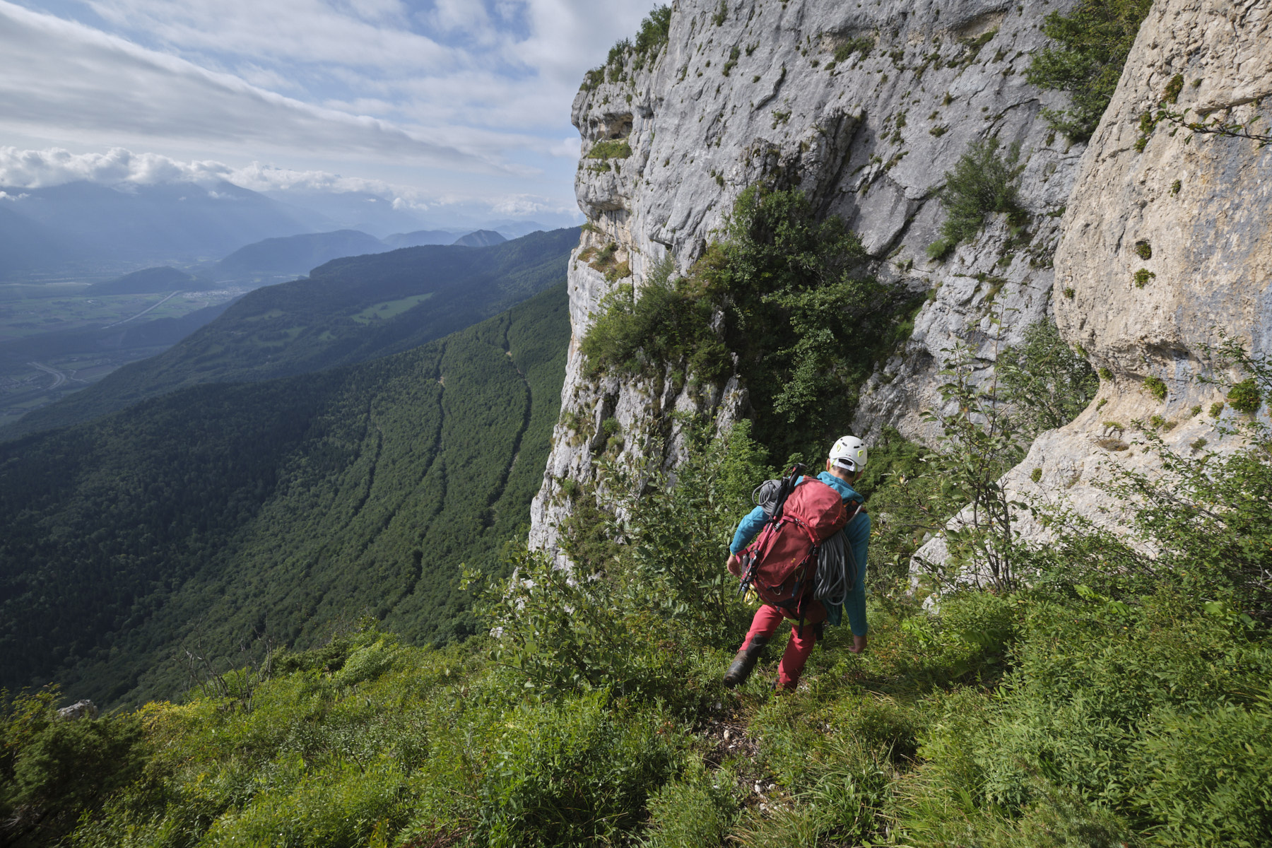
4th part: ascent to the vire Saint-Michel and exit onto the ridge
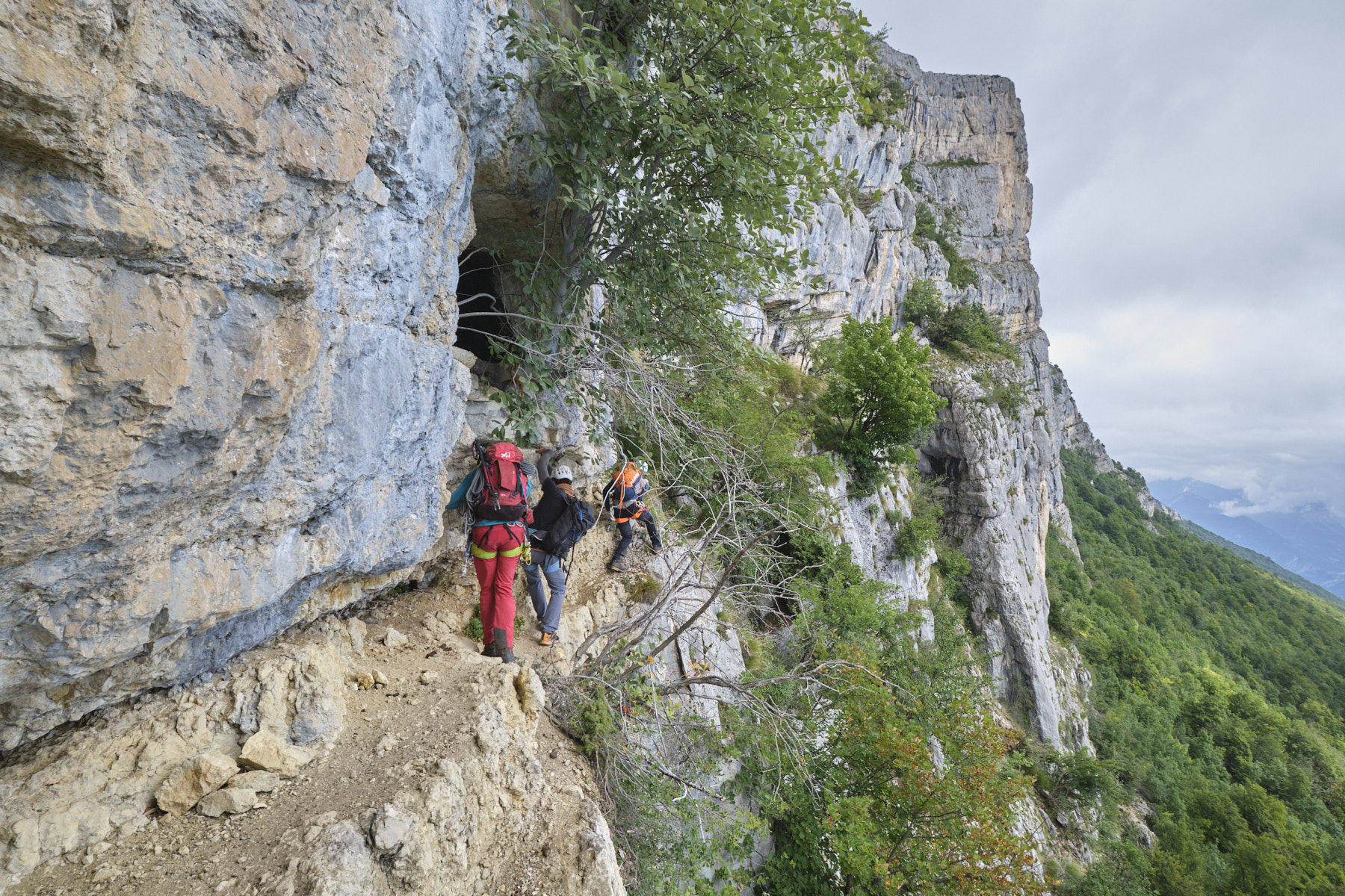
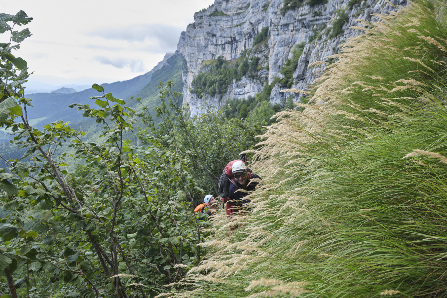
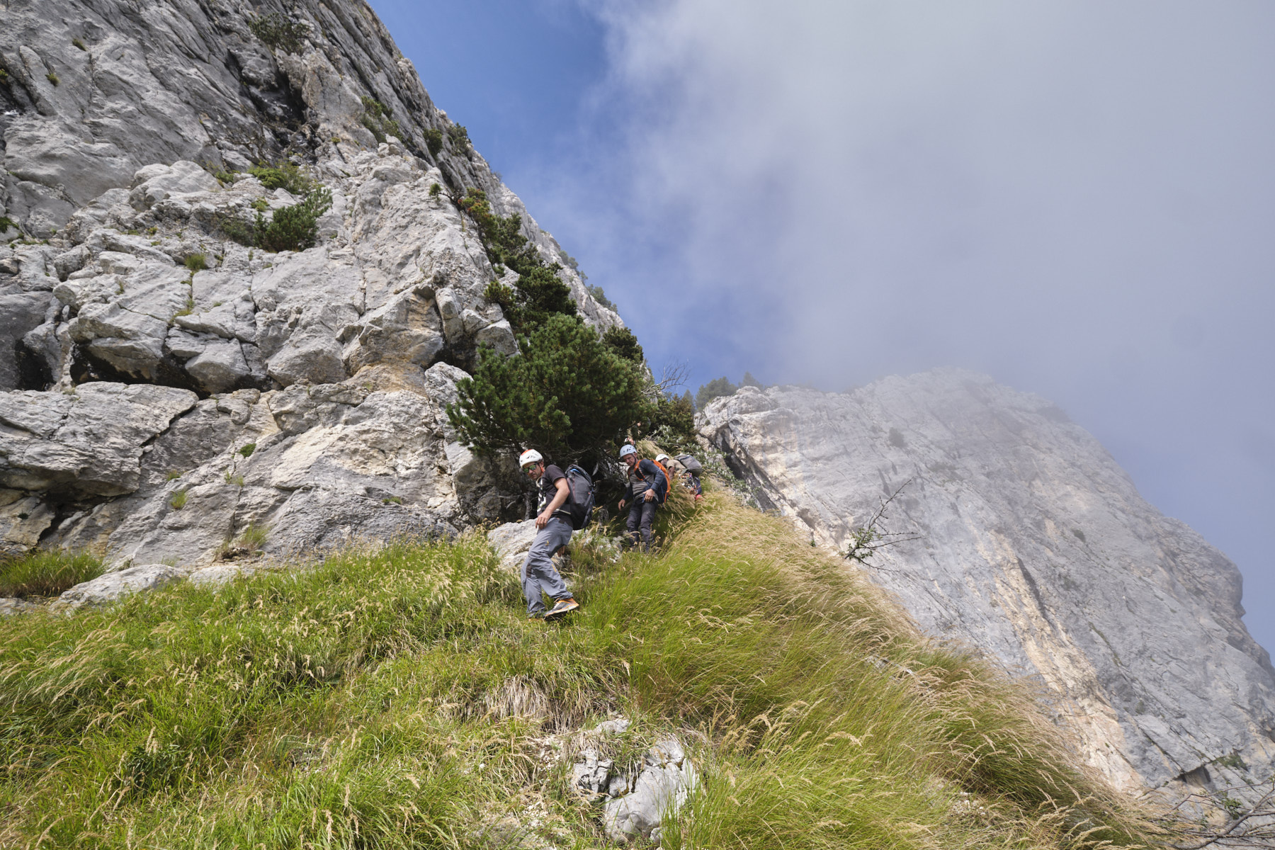
This is probably the most exposed part, with some climbing (III max), mini hanging ledges and two very steep grassy couloirs.
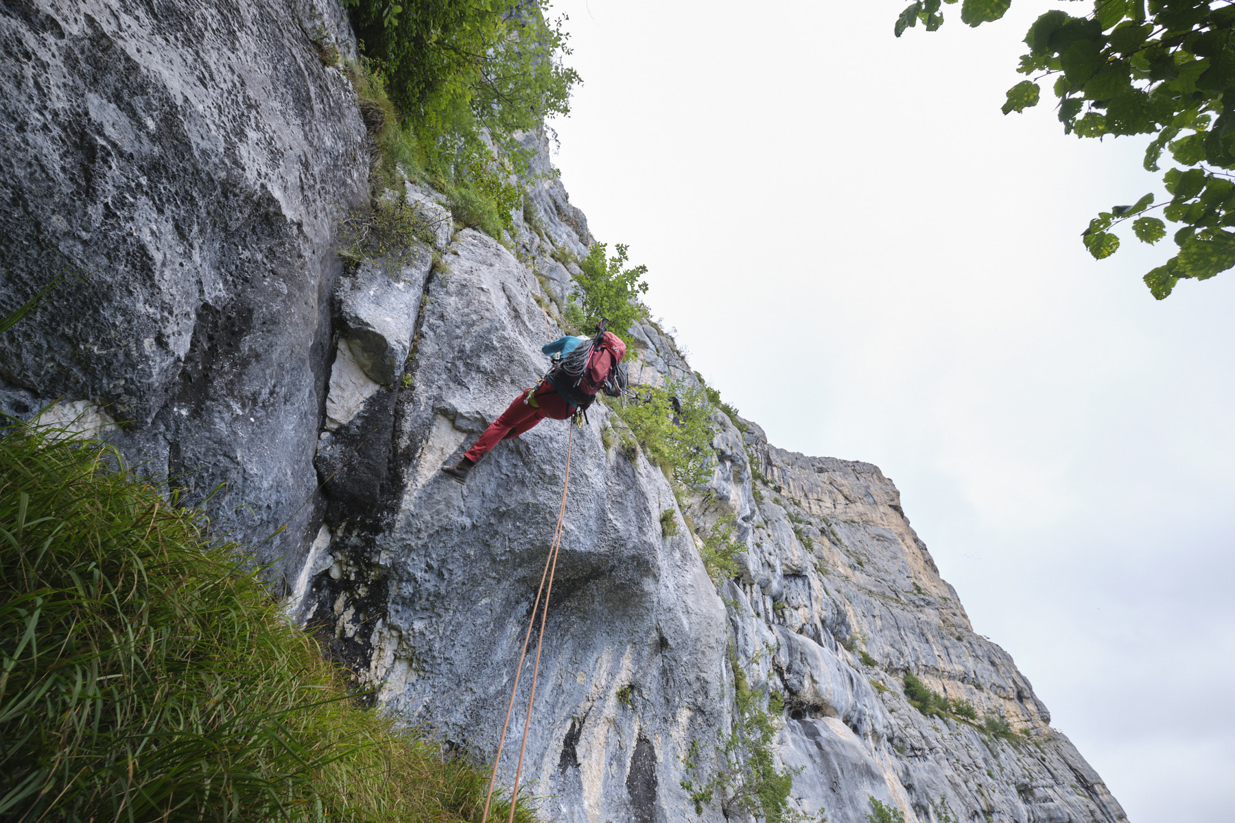
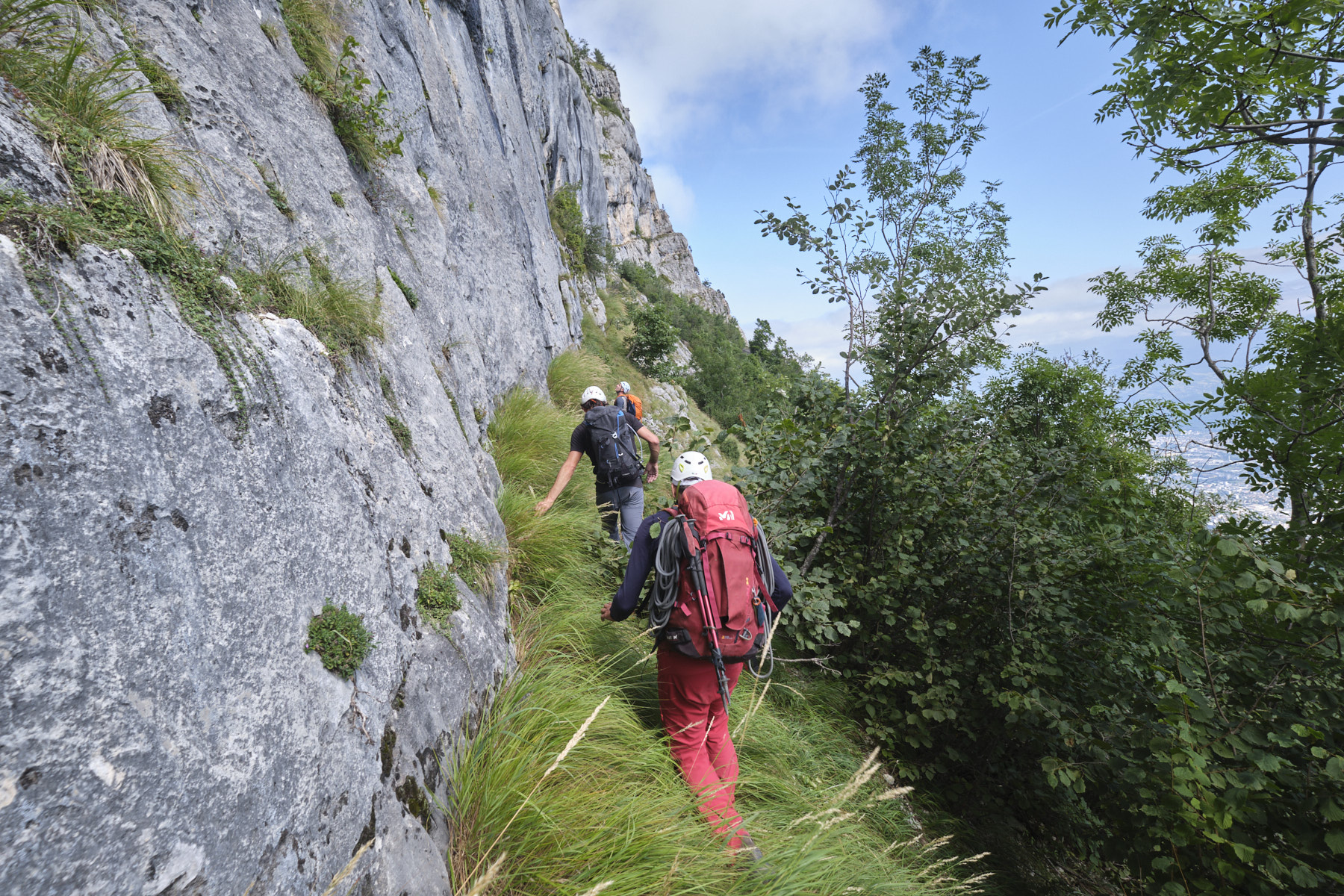
Climb straight up the cliff, rather starting on the left on half-grassy, half-rocky steps (II/III max). Angle right a little and then left again, ending up on a sloping slab and joining the vire Saint-Michel, beneath a vertical wall equipped with a fixed rope handrail.
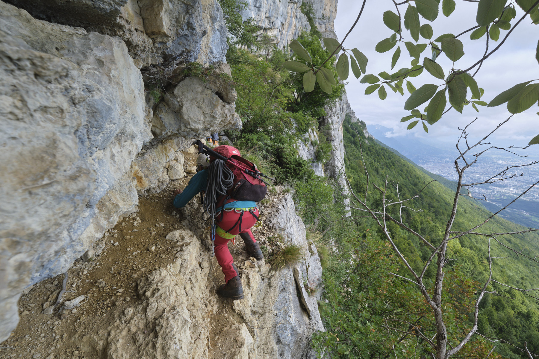
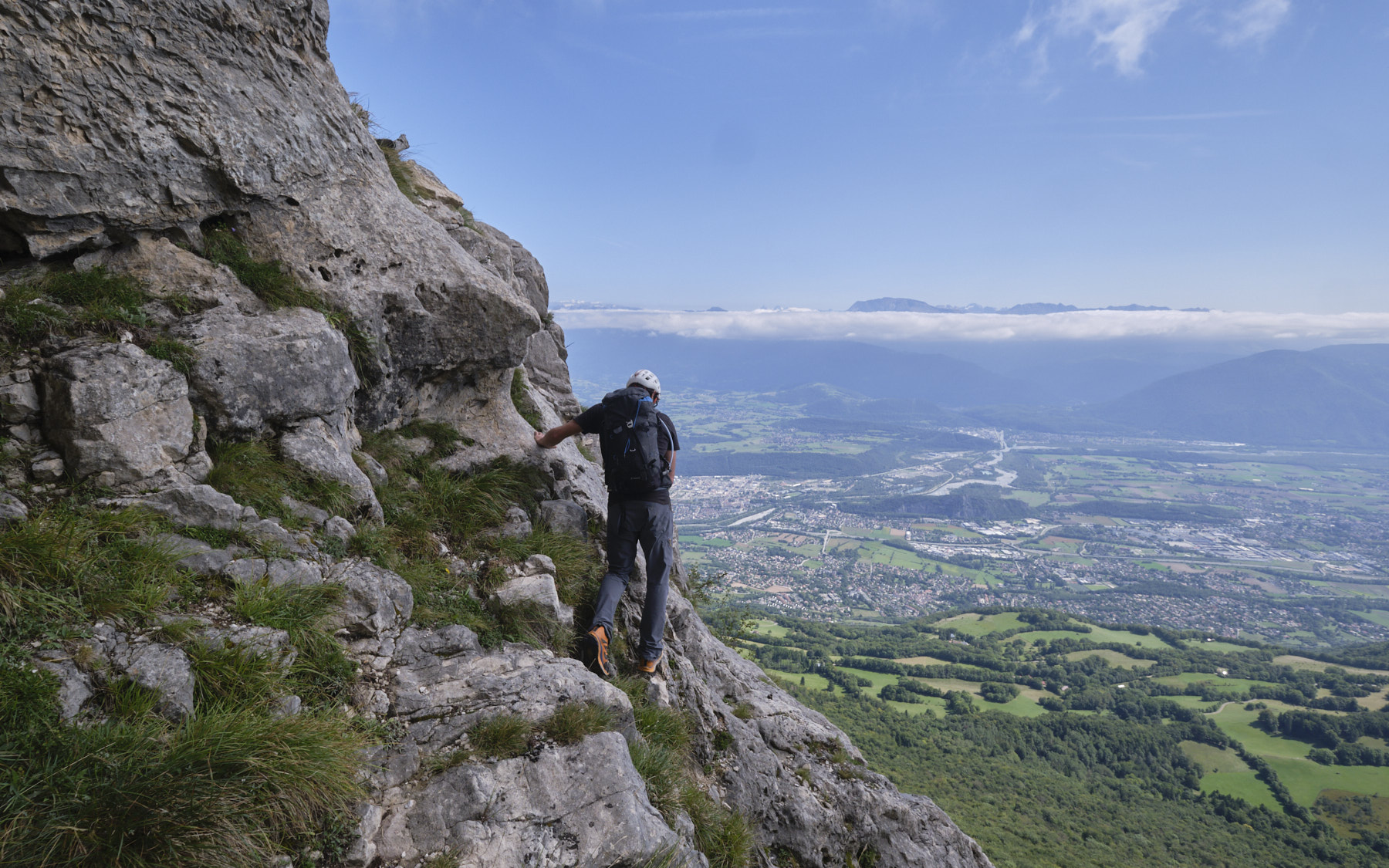
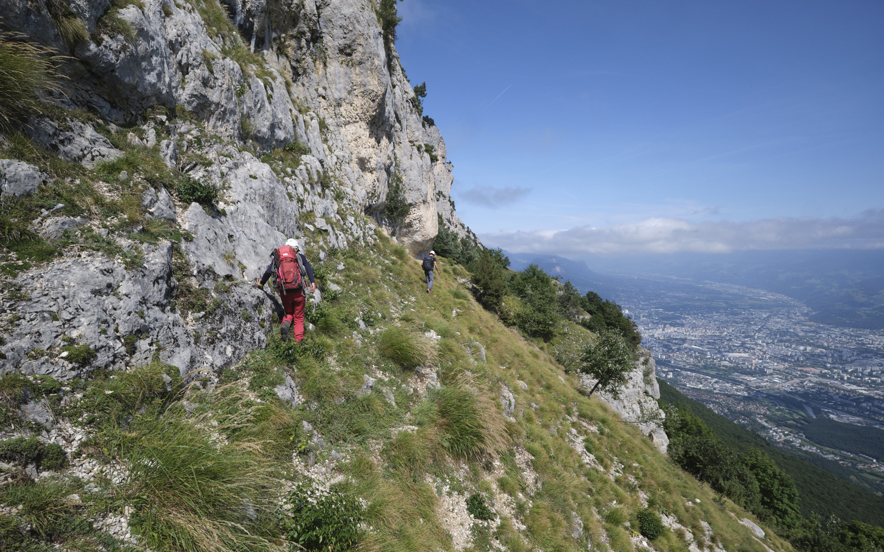
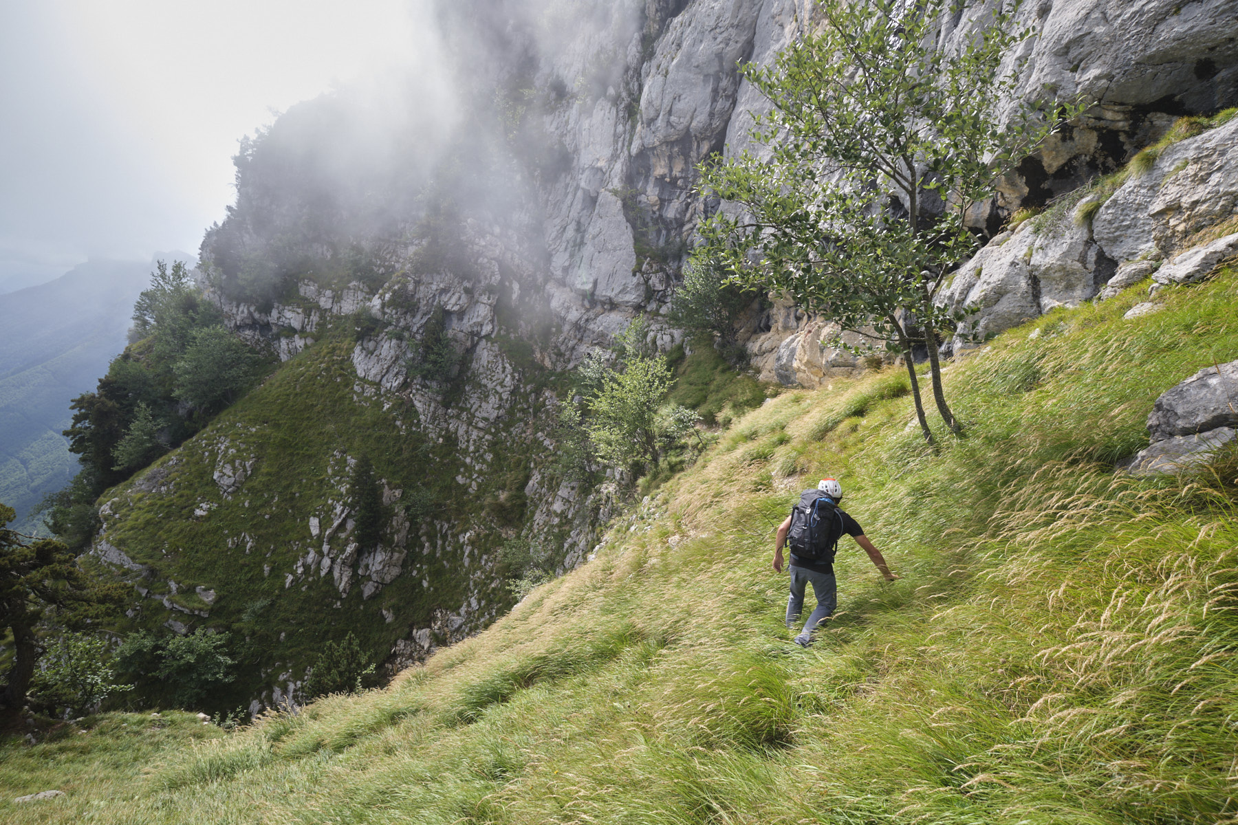
Turn left and the path becomes increasingly exposed and airy. Cross flush with the walls and on the edge of the void, descend into a recess, then crawl under the wall to tackle the first steep grassy couloir on the right. At the top of the couloir, turn left, cross a small grassy ridge and descend steeply into a ravine below another wall. Carefully de-escalate (or rappel point) and cross opposite to climb another steep grassy slope. Above, follow a rocky couloir equipped with an old fixed rope to tackle the second very steep grassy couloir which finally leads out onto the ridge, just a stone's throw from the Pic de la Moucherotte. Phew!
Part 5: return via the GR to the Sierre parking lot
From the ridge, head straight down off-piste on the west side to join the main track. Follow it to find the GR further down and return to the parking lot without difficulty.


![2017-08-05_13-35-40 [Monte Rotondo]](https://climbing7.com/wp-content/uploads/2017/09/2017-08-05_13-35-40-monte-rotondo-1024x683.jpg "Monte Rotondo, Melo and Capitello, Corte")

Leave a Reply