

TOPO Hiking | CLIMBING7.COM
Publié le

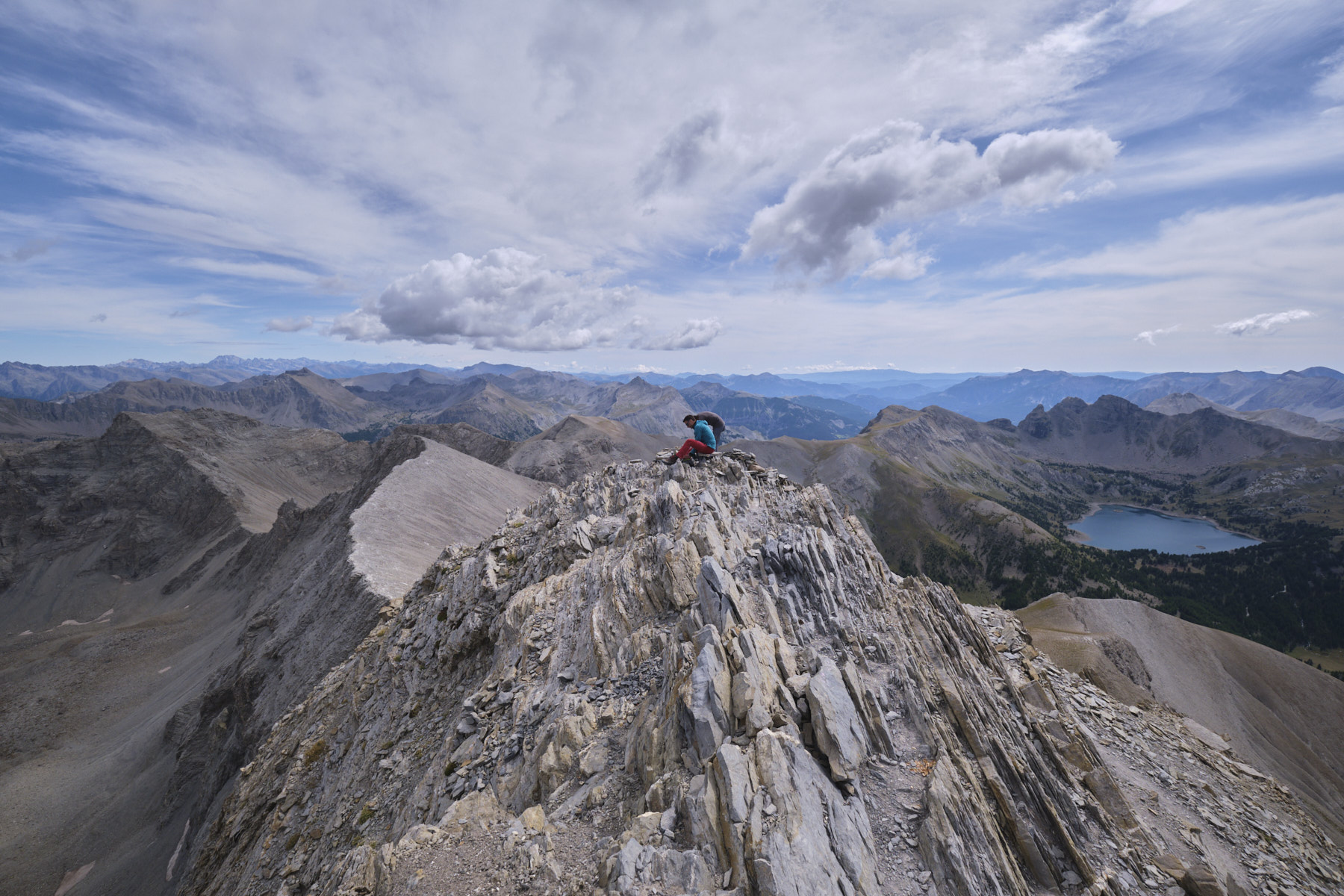
The ascent of Mont Pelat is a great way to discover this part of the Mercantour and particularly the magnificent Lac d'Allos. It's a very accessible 3000m climb, with no real difficulties and a gradient that remains reasonable, starting at over 2000m. The views of the Ubaye and Queyras peaks are superb. The return loop via the Pas de la Grande Barre adds even more value to the hike, but includes a tricky section down to the Grande Cayolle valley. Along the way, ibex and chamois, apparently accustomed to hikers, are easy to spot.
❱❱ Technical summary
► S tarting point: route du col de la Cayolle, Alpes-de-Haute-Provence (04)
► Type of route: high mountain loop hike
► Distance: 19 km
► Cumulative elevation gain: +1280 m
► Cumulative negative elevation gain: -1280 m
► Estimated total time: 6h to 7h
► Min and max altitude: 2070 m / 3051 m
► Beaconing: GR and GRP for the most part, yellow PR to climb to the summit of Pelat, return via Pas de la Grande Barre on an unmarked path (cairns)
► Equipment in place: none
► Equipment required: none
Difficulties: only technical difficulty, the tricky descent behind the Pas de la Grande Barre, very steep and unstable terrain.
❱❱ Access to the place
From Barcelonnette, take the D902 south towards Col de la Cayolle. Pass Uvernet-Fours and climb up the narrow gorges du Bachelard. Pass Bayasse and continue up the D902. A few kilometers before the Col de la Cayolle, just after the Pont de la Cascade, park just after the last little bridge, where the GR passes.
❱❱ Map & topo
❱❱ Itinéraire
1st part: from the parking lot to the Petite Cayolle pass (1h to 1h30)
Take the GR that follows the road for a short distance before climbing to the right into the forest. Climb a little, then head south against the road to reach the Petite Cayolle refuge. From here, walk a little along the road and leave it to follow the path that crosses the Petite Cayolle massif high up on the hillside. The path is not very visible on the way up, but well marked on the crossing. Rejoin the GR arriving from the Col de la Cayolle and climb to the Col de la Petite Cayolle, overlooking the Lac de la Petite Cayolle.
2nd part: from Col de la Petite Cayolle to the summit of Mont Pelat (1h30 to 2h)
Follow the GR, skirt the lake and switch to the south-western slope. Descend the large switchbacks that run down the Méouille ravine to find the fork to Mont Pelat below. Leave the GR at this point and follow the yellow-marked path. You then take a long traverse that becomes increasingly aerial to pass through the middle of a rocky ridge. After crossing the northernmost ridge, the path winds its way up in a series of switchbacks to reach a flatter area. At this point, look for the fork on the right towards the Pas de la Grande Barre and the trou de l'Aigle lake for the rest of the itinerary.
To climb to the summit, follow the main path, which twists and turns before attacking a huge scree slope and ending up on the east ridge of Mont Pelat. All that remains is to climb back up this ridge and cross the rockier, steeper (but not difficult) final section to reach the summit. The view down to Lac d'Allos below is spectacular. It's also easy to see the way back along the north-facing slope to the starting parking lot.
3rd part: from Mont Pelat to the parking lot via the Pas de la Grande Barre (2h to 2h30)
Descend from Mont Pelat to the fork below and turn left to quickly discover the milky-blue Trou de l'Aigle lake. Follow the path to the right and climb almost in a straight line across the huge scree to the Pas du trou de l'Aigle, with its steep finish. At this point, you turn north into the Grande Cayolle valley.
This is the tricky section. Descend along the steep, unstable mini-path to reach the bottom of the basin in a huge scree. Follow the cairns and the path, which again becomes clearly visible, to cross the valley heading north, pass under rocky bars and then cross the GR arriving from the Petit Col de Talon. Follow the GR to the right, heading east, down the whole valley, joining a track at a place called La Cayolle and finishing further down on the road at the last bridge, where you'll find the starting parking lot.
Leave a Reply