


TOPO Hiking | CLIMBING7.COM
Publié le
 Partager sur WhatsApp
 Partager sur Twitter
Partager sur Instagram
Partager sur Twitter
Partager sur Instagram

 Partager sur Facebook
 Imprimer le topo
 Laisser un commentaire

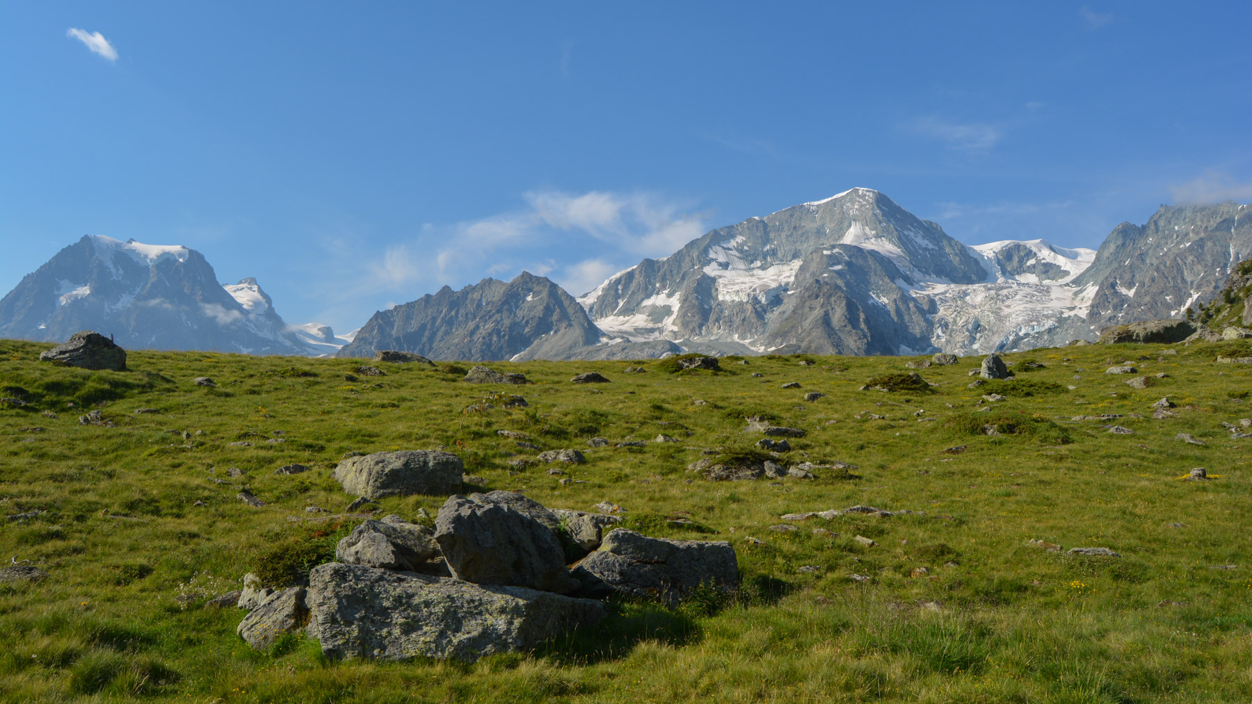
Despite the more overcast weather, the Aiguilles Rouges trek explores the heights of the Val d'Hérens with a beautiful alpine atmosphere and exceptional panoramas of Mont Blanc de Cheilon (3870m) and Pigne d'Arolla (3772). The loop is not difficult and the route is easy to follow. From the Aiguilles Rouges hut, the view over the Val d'Hérens is superb, and the descent isn't too bad either to Lac Bleu, a magnificent emerald jewel case amidst aroles and larches.
❱❱ Technical summary
Type ✦ Hiking
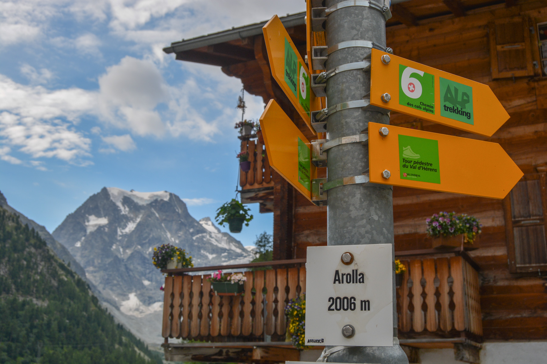
Location ✦ Arolla
Region ✦ Valais
Country ✦ Switzerland
Length ✦ 12,7kms
Vertical rise ✦ 990m
Difficulty ✦ MD
Max altitude ✦ 2810m
Duration ✦ 5h to 6h
Interest ✦ ★
❱❱ Access to the place
Just after Sion from Martigny, turn off towards Val d'Hérens. Follow the road to Évolène, then continue along the valley floor to Arolla. Park on the village's mini-plaza, opposite the Café du Pigne.
❱❱ Map & topo
❱❱ Itinéraire
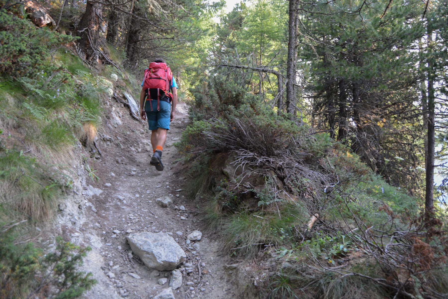
Return to the asphalt road and take the path at the 1st bend. You'll come to another parking lot above. Continue along the road and at the next bend you'll find the Aiguilles Rouges trail.
The trek forms a loop, with the Aiguilles Rouges refuge at its highest point. The trails are well-marked, with small signposts along the way. Only one hesitation: in the cirque des Ignes, continue straight on without climbing (marked in blue/white towards the cabane de Dix). A few equipped sections in the traverse below the Aiguilles Rouges hut and on the path back from Lac Bleu to Arolla.
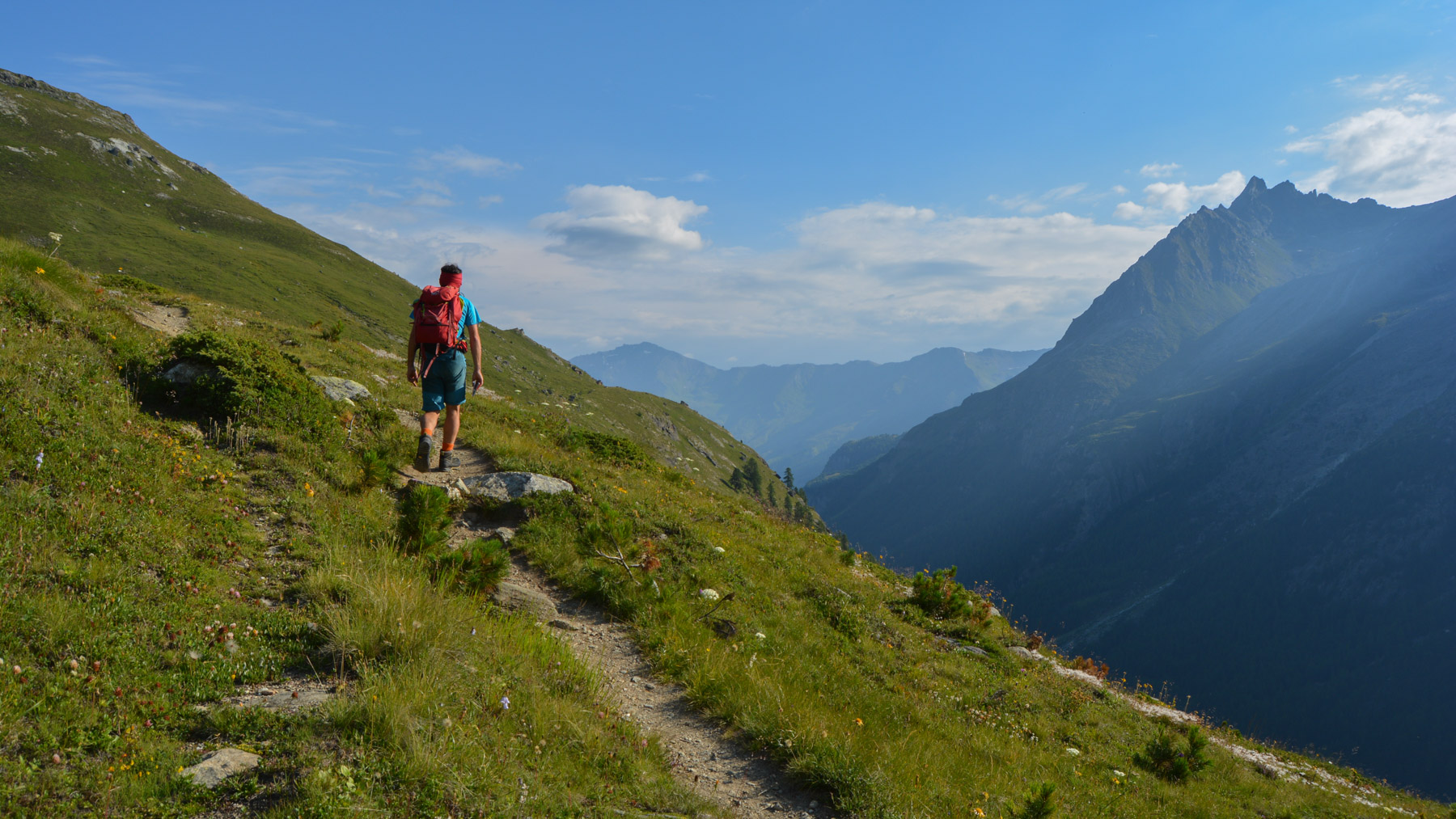
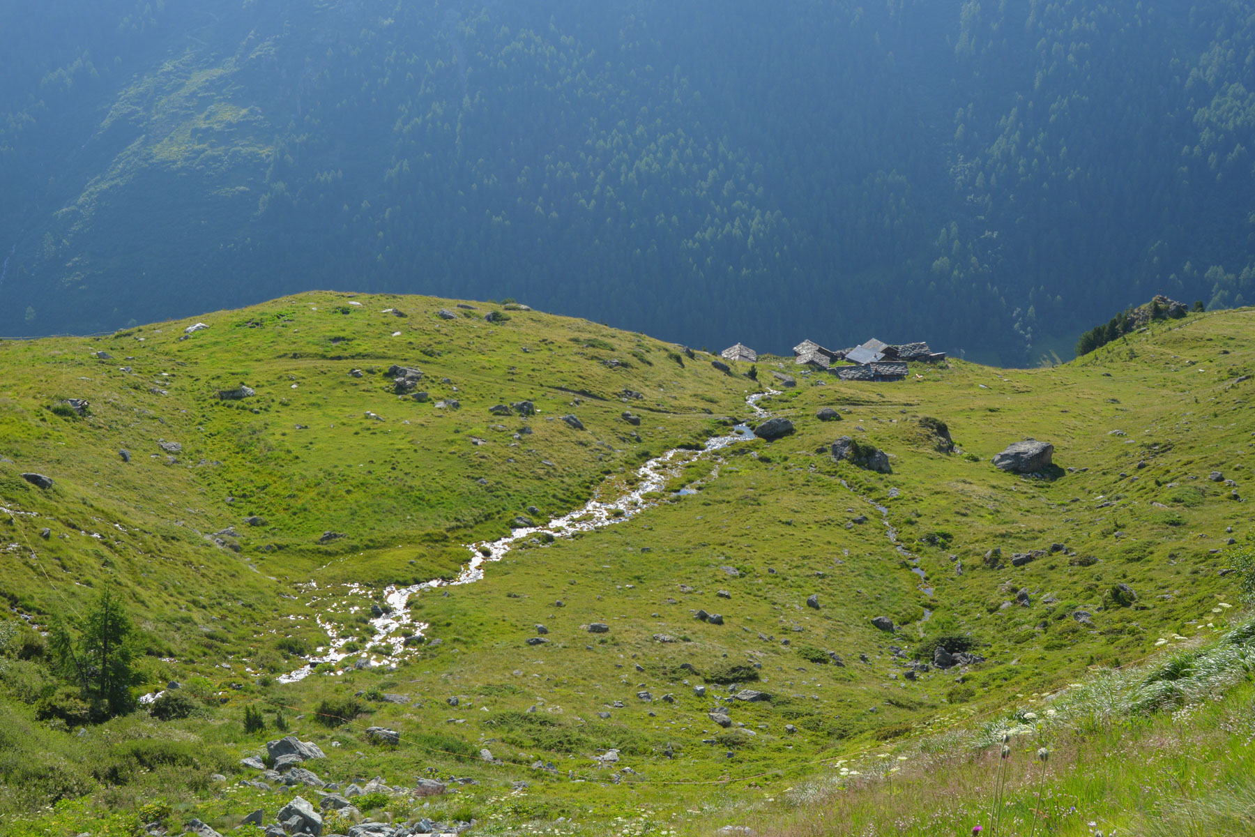
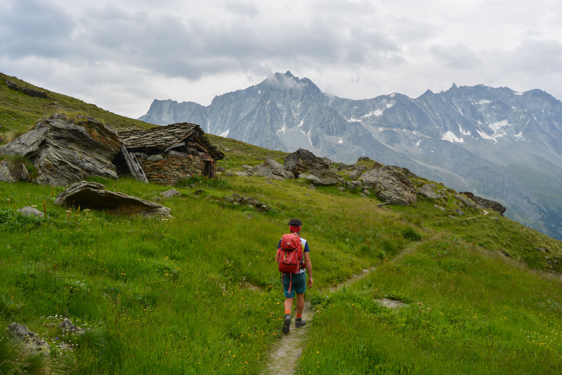
The trail climbs through the forest for a short while before emerging onto open ground. Continue gradually uphill over large grassy areas. You pass above Pra Gra, a hamlet suspended above the valley. Higher up, with the panorama of 3700m in the background, we cross a plateau to reach a high-altitude hamlet: Remointse de Pra Gra, magnificent, with superb black cows in the foreground and the glaciers in the background. A 120% Swiss landscape!
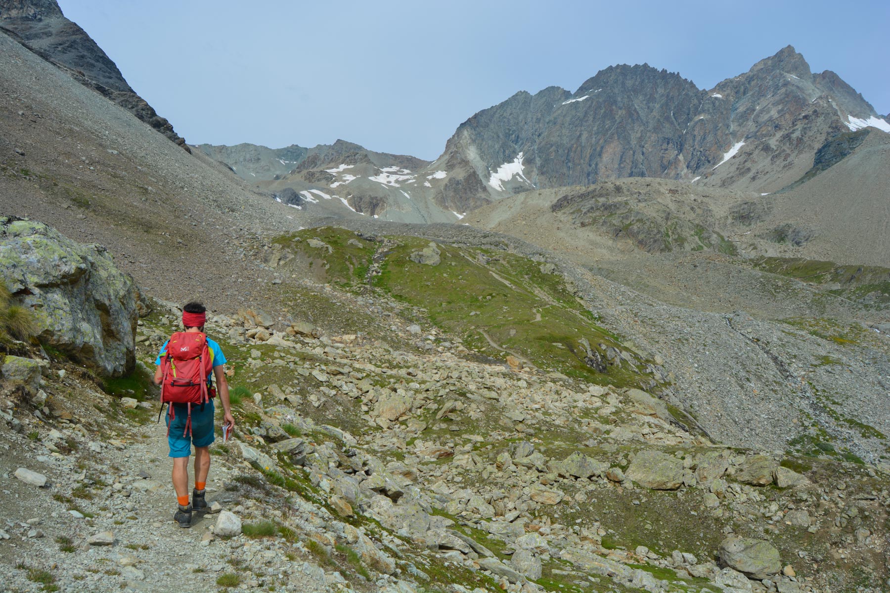
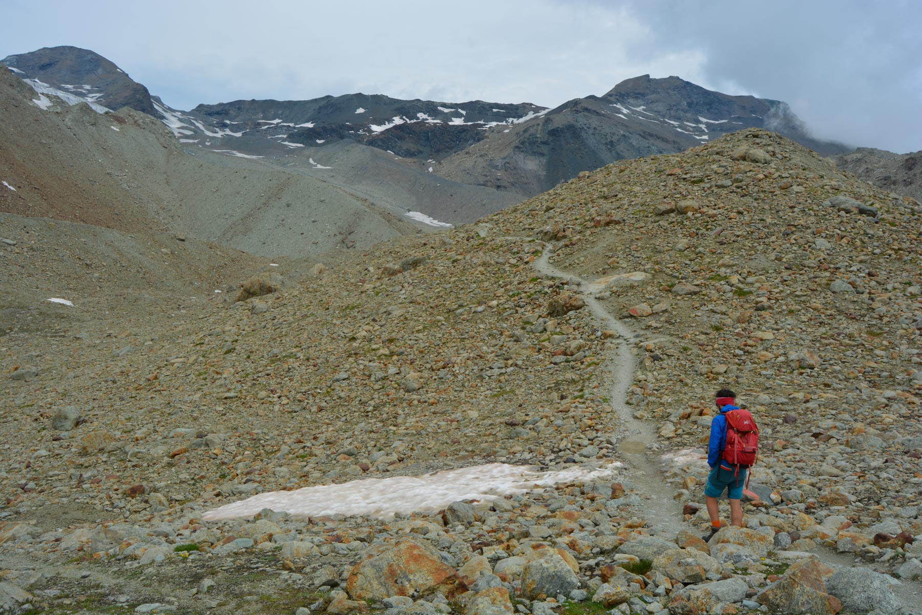
Continuing on, we soon reach a much more mineralized area and catch a glimpse of the Aiguilles Rouges bar, which is indeed slightly red. We cross a large scree slope at the cirque des Ignes and several torrents. On the other side of the scree, continue straight ahead following the red marks. The path then crosses a scree slope with a beautiful view of the entrance to the Val d'Hérens. A short equipped passage and a not too long winding ascent to reach the hut at 2810m. We're halfway there.
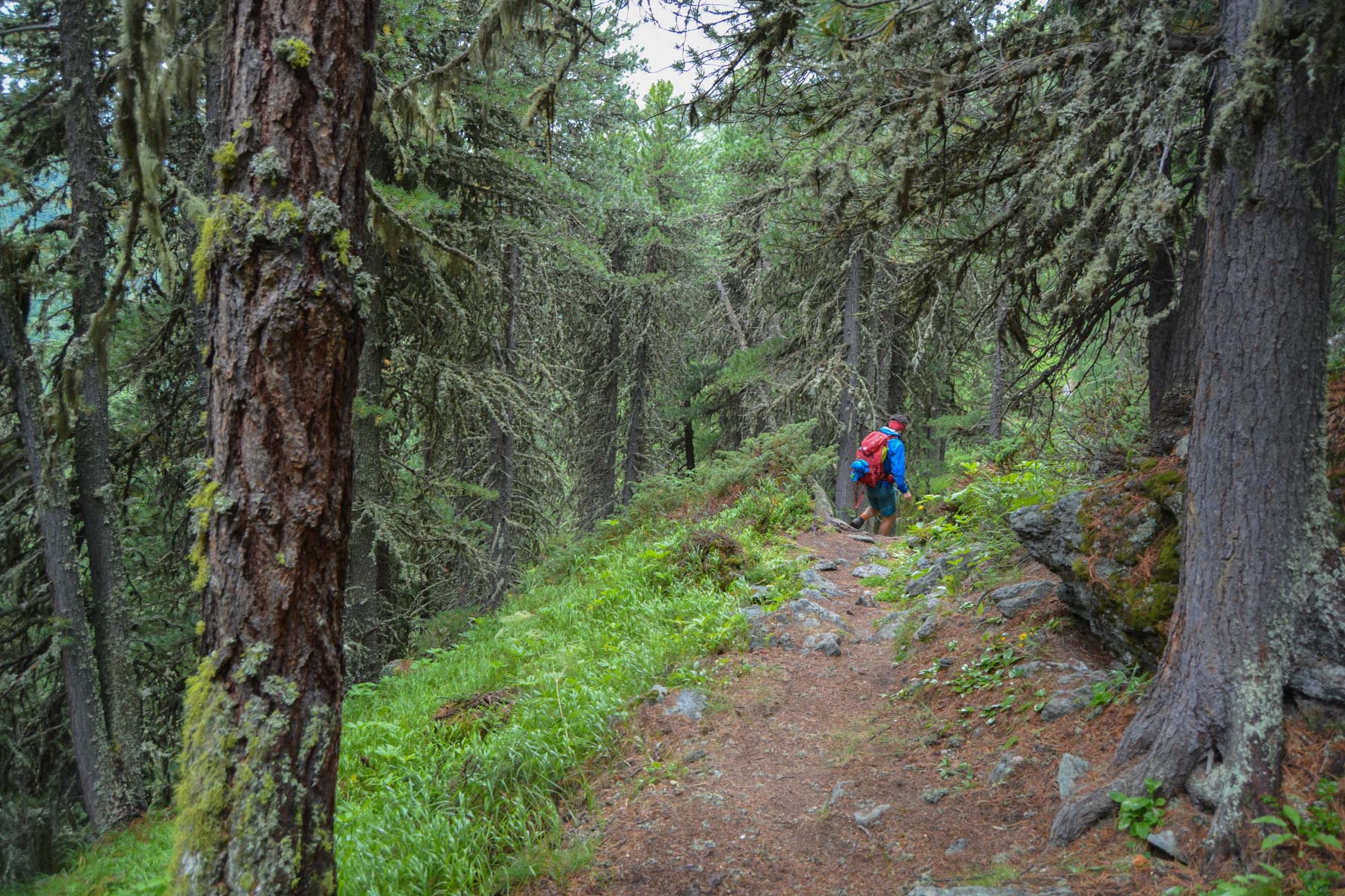
Passing above the refuge, we soon start the descent. We join a stony valley and, after crossing the torrent on a fine wooden bridge, the path winds down to the valley floor. The descent is not too steep, with the valley floor before your eyes and snow-capped peaks on the horizon. Further down, we pass a forested area, and as we emerge below, the blue lake comes into view, small but surprisingly colorful.
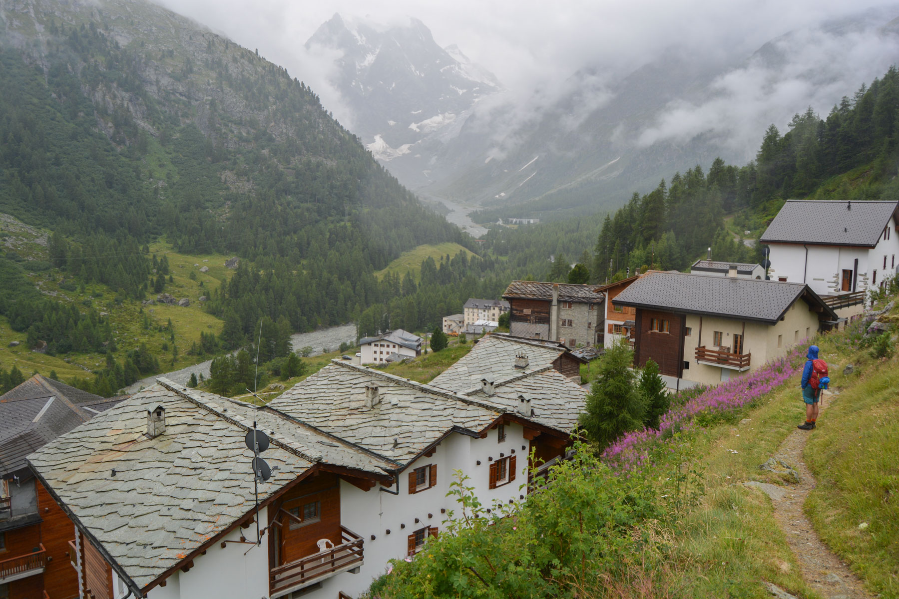
From Lac Bleu, go right without descending to catch the path that leads back to Arolla. This is a fairly hilly path through the forest, very pleasant, with a second, steeper section, announced as a "difficult path" because of exposed passages equipped with small chains or bars, but in the end without any real difficulty. We pass under Pra Gra to finally reach the village of Arolla.
Once in the village, turn right to return to the starting parking lot at the Café du Pigne.


Leave a Reply