
Orgull Mapuche a la Serrat d’En Muntaner, Montserrat, Spain


2nd pitch in 6b
Read topo


2nd pitch in 6b
Read topo
A reminder of Petit Guifré
Read topo
3rd length start
Read topo
in the 3rd length
Read topo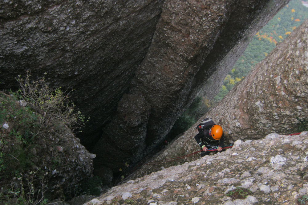
This route, like its neighbor on the Canal del Lloro, was equipped by the GAM or Grup d'Alta Muntanya to enable…
Read topo
exit from the canal using the straps
Read topoA classic among classics, the GR20 offers an exceptional itinerary for crossing Corsica from north to south, or vice versa, between sea and high mountains. With more than 160 kilometers of trails and over 12,000 meters of ascent, often between 1,500 and 2,500 meters above sea level, this is a challenging route for experienced hikers. But the GR20 is paying the price for its success, and for a little escape, we offer an alternative itinerary with numerous official and unofficial variants, and the ascent of some interesting peaks: Cirque de la Solitude, Paglia Orba and Capo Tafunatu, Monte d'Oro, Monte Renoso, Monte Incudine. This topo presents the GR20 as we did it in general terms, all the stages being described in more detail in the following posts.
Voir le dossier
Sur la HRP de Hendaye à Banyuls
Été 2025