
Via Alimera a la Codolosa, Montserrat, Spain


Warming up against Codolosa
Read topo


Warming up against Codolosa
Read topo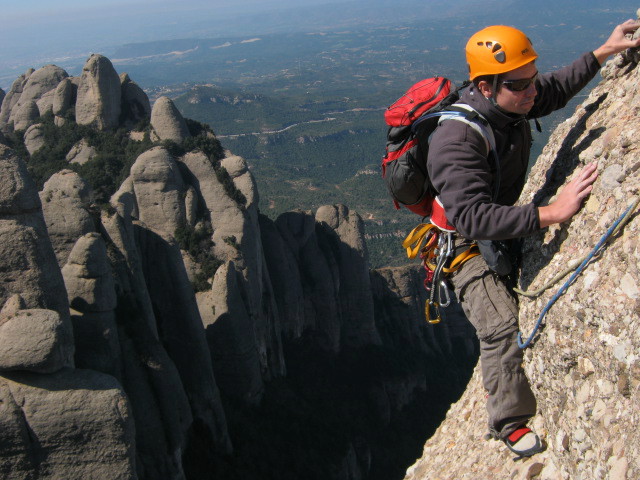
ambience in L3
Read topo
Situated in the Montsec d'Ares, near Montrebeï and the pantano de Canelles, this wild and rather inaccessible…
Read topo
The Canal de la Sara is close to the Pantano de Canelles, which marks the end of Catalan territory, and a stone's…
Read topo
Catalunya, Montrebei. The via ferrata, equipped by Cast-Urquiza-Olmo since 2006, was recently opened. It's a short…
Read topo
An easy, short and very accessible route, the Olmo-Soler is ideal for beginners or for taking children. However, the…
Read topoA classic among classics, the GR20 offers an exceptional itinerary for crossing Corsica from north to south, or vice versa, between sea and high mountains. With more than 160 kilometers of trails and over 12,000 meters of ascent, often between 1,500 and 2,500 meters above sea level, this is a challenging route for experienced hikers. But the GR20 is paying the price for its success, and for a little escape, we offer an alternative itinerary with numerous official and unofficial variants, and the ascent of some interesting peaks: Cirque de la Solitude, Paglia Orba and Capo Tafunatu, Monte d'Oro, Monte Renoso, Monte Incudine. This topo presents the GR20 as we did it in general terms, all the stages being described in more detail in the following posts.
Voir le dossier
Sur la HRP de Hendaye à Banyuls
Été 2025