
Cubilillo os Fils, Riglos


The Mallos de Riglos are an incredible site. Improbable cigar-shaped walls 300m or more high, with iron-red hues,…
Read topo


The Mallos de Riglos are an incredible site. Improbable cigar-shaped walls 300m or more high, with iron-red hues,…
Read topo
in the 1st lengths
Read topo
A typical Montserrat barranc, the descent of the Clot dels Caragols torrent is accessible and not too difficult...
Read topo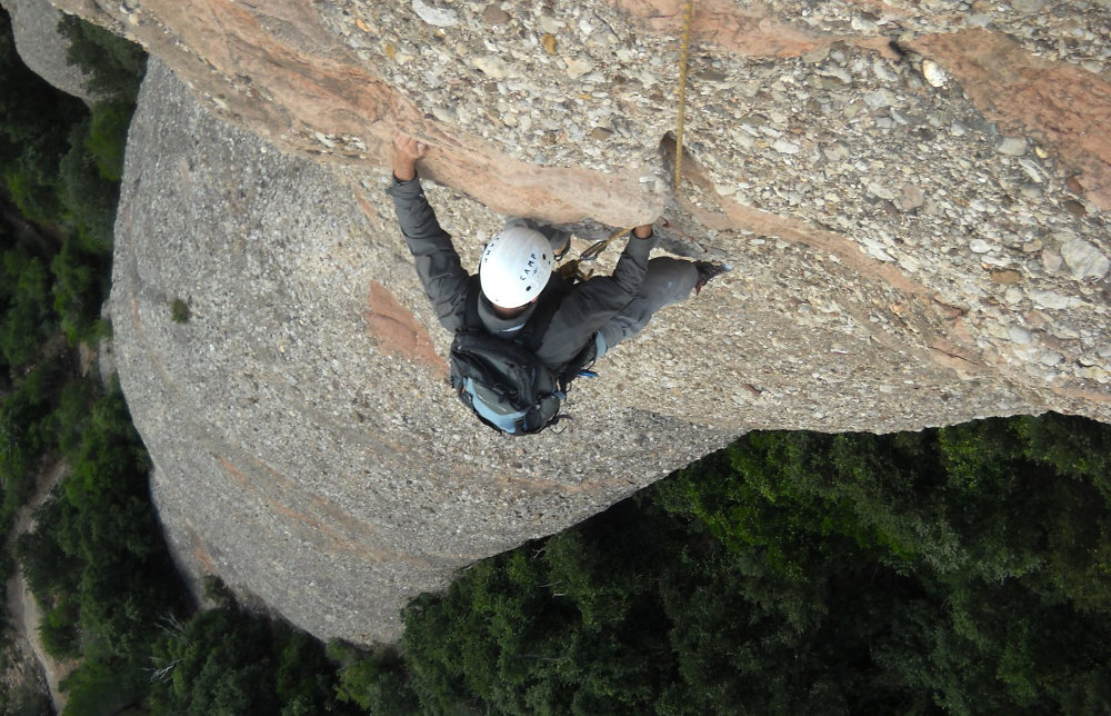
in the 6a+ pitch in L3
Read topo
At the foot of the agulla Can Jorba
Read topo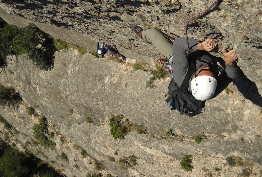
in the 4th final length
Read topoA classic among classics, the GR20 offers an exceptional itinerary for crossing Corsica from north to south, or vice versa, between sea and high mountains. With more than 160 kilometers of trails and over 12,000 meters of ascent, often between 1,500 and 2,500 meters above sea level, this is a challenging route for experienced hikers. But the GR20 is paying the price for its success, and for a little escape, we offer an alternative itinerary with numerous official and unofficial variants, and the ascent of some interesting peaks: Cirque de la Solitude, Paglia Orba and Capo Tafunatu, Monte d'Oro, Monte Renoso, Monte Incudine. This topo presents the GR20 as we did it in general terms, all the stages being described in more detail in the following posts.
Voir le dossier
Sur la HRP de Hendaye à Banyuls
Été 2025