


TOPO Hiking | CLIMBING7.COM
Publié le
 Partager sur WhatsApp
 Partager sur Twitter
Partager sur Instagram
Partager sur Twitter
Partager sur Instagram

 Partager sur Facebook
 Imprimer le topo
 Laisser un commentaire
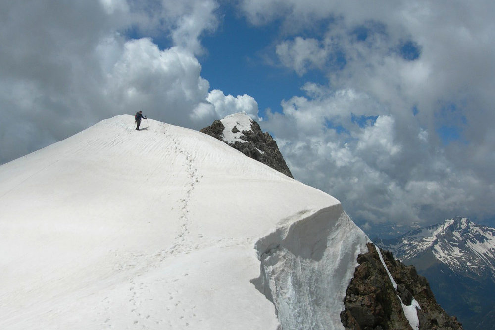
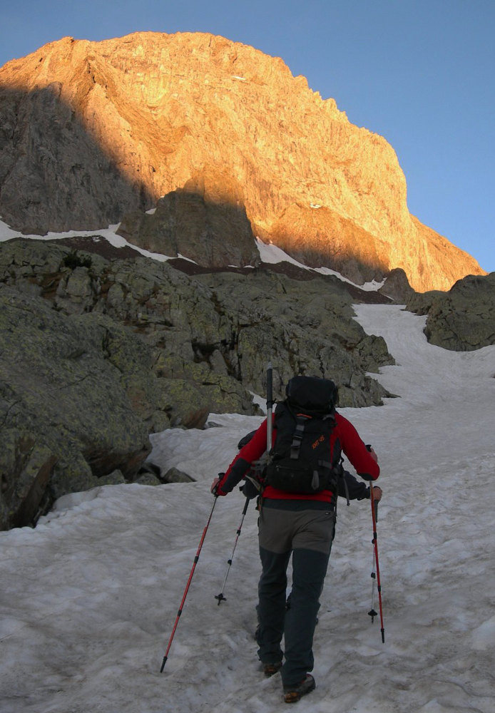
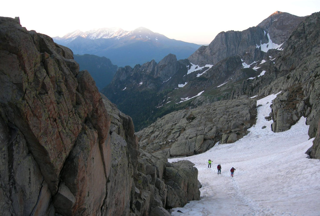
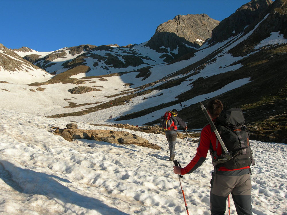
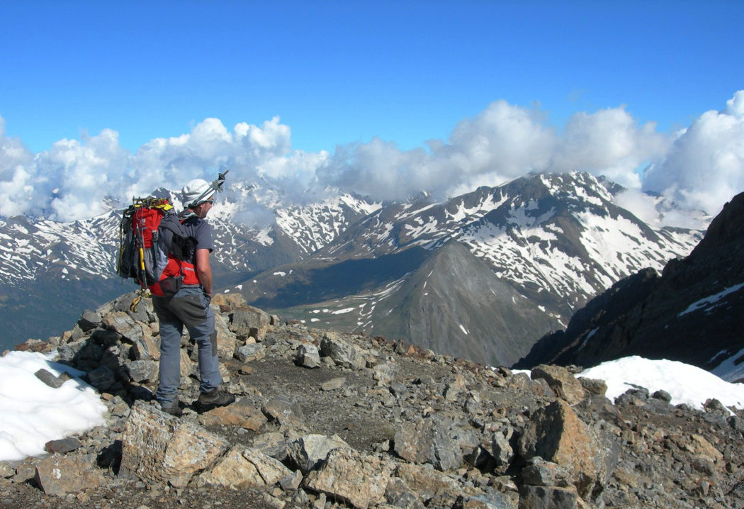
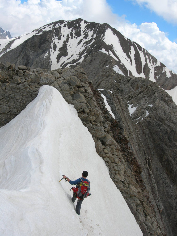
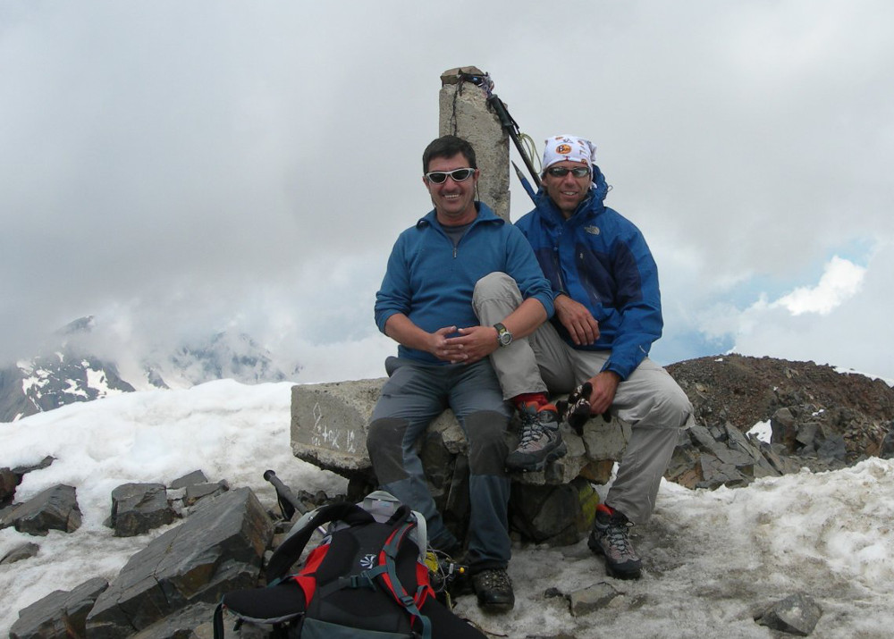
Access to the Pic des Posets, the second highest peak in the Pyrenees after the Aneto, via the Crête des Espadas is an original, aerial, alpine route, much less frequented than the normal route. Although not very difficult, the route requires you to be able to cope with a lack of space and to be willing to climb small sections of exposed terrain (III+ max). The presence of snow can make things more complicated. The loop, with its many peaks over 3000m and splendid views of the Maladeta massif and Monte Perdido in the distance, is superb and well worth the detour.
❱❱ Technical summary
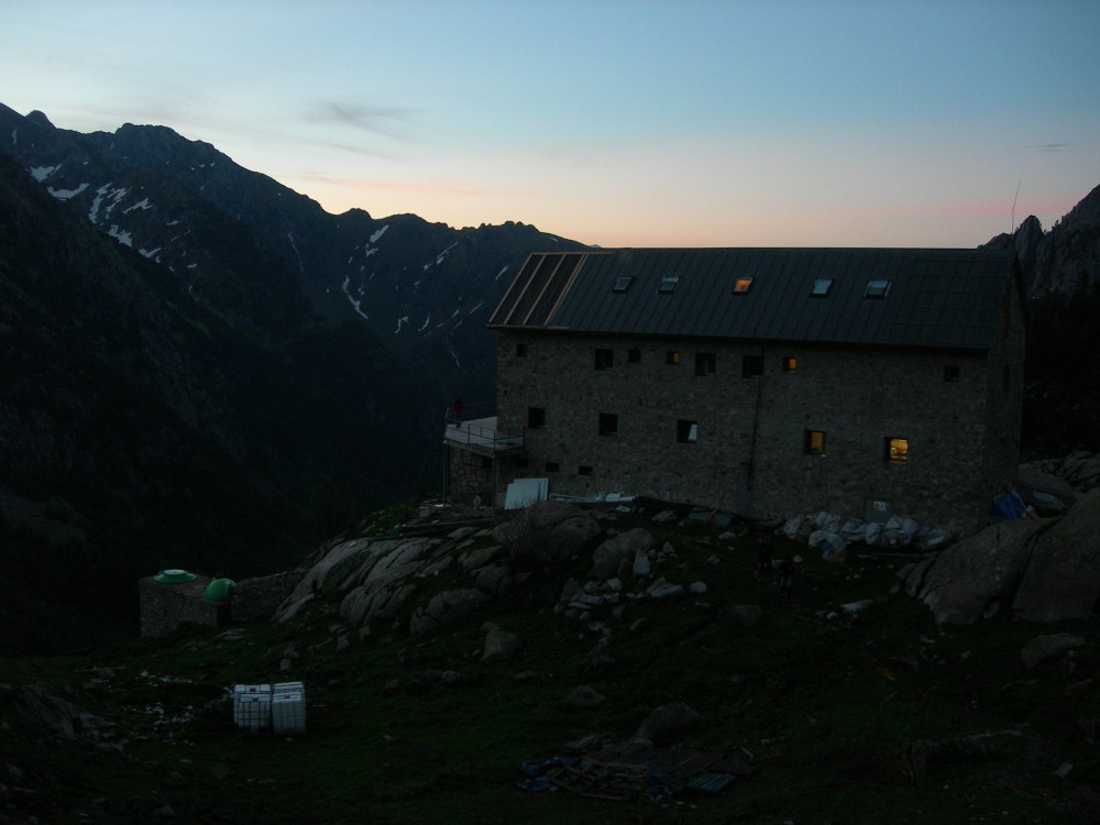
The data above corresponds to the itinerary from the Angel Orus refuge.
■ S tarting point: Angel Orus hut, Eriste, Aragon
■ Type of route: high alpine loop hike, ridge with climbing section
■ Distance: 11 km
■ Cumulative elevation gain: +1300 m
■ Cumulative negative altitude gain: -1270 m
■ Estimated total time: 6h to 8h
■ Min and max altitude: 2100 m / 3369 m
■ Marking: GR on approach, cairned trail on return
■ Equipment in place: none
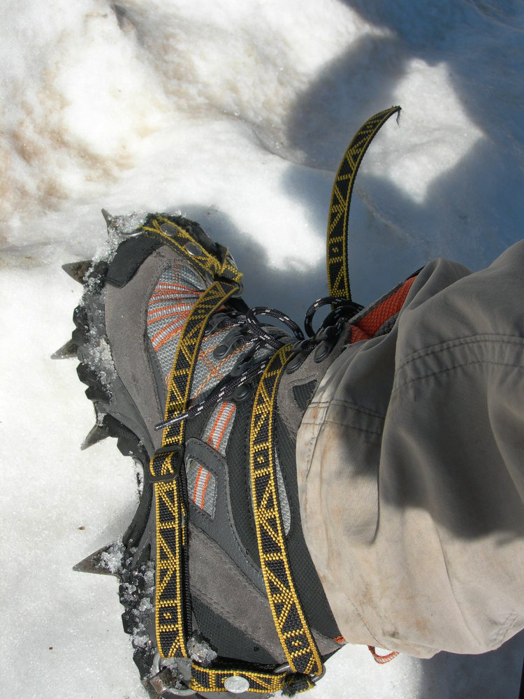
■ Equipment required: crampons, ice axe, safety rope
Difficulty: III+ passages, rated PD+, aerial and exposed sections
❱❱ Access to the place
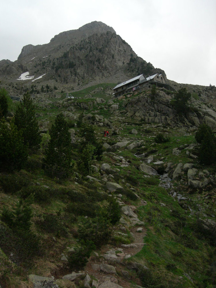
Getting to Benasque. Shortly before reaching Benasque, you pass through the village of Eriste. Take the road to the left, which winds its way up a steep little road to the parking area for the Espigantosa waterfall, where the path to the Angel Orus refuge starts. In summer, this small road is closed, so take the shuttle bus to Eriste.
From the Espigantosa parking lot, to reach the Angel Orús "El Forcau" refuge at 2150m, take the signposted path which goes down into the valley and then climbs steeply at the end to leave the forest below the refuge (550m ascent, approx. 1h30).
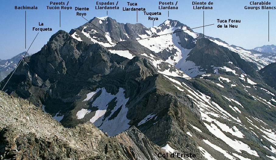
❱❱ Map & topo
The route on the ridge is approximate.
❱❱ Itinéraire
The route is long and physically demanding. There are a few technical passages to negotiate with equipment and some very exposed climbs. Ice axes, crampons and belay equipment are essential.
Topo de la Crête des Espadas et du Posets depuis le refuge de Viados on rando-marche.fr
Topo du Pic des Posets par la voie normale


Leave a Reply