


TOPO Hiking | CLIMBING7.COM
Publié le
 Partager sur WhatsApp
 Partager sur Twitter
Partager sur Instagram
Partager sur Twitter
Partager sur Instagram

 Partager sur Facebook
 Imprimer le topo
 Laisser un commentaire
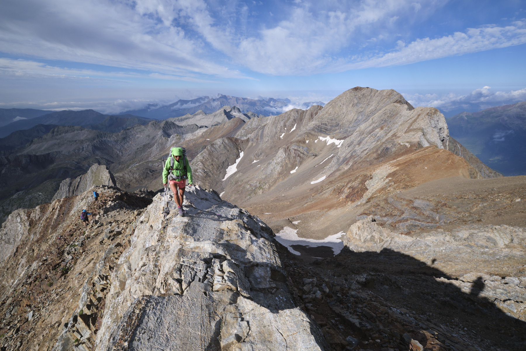
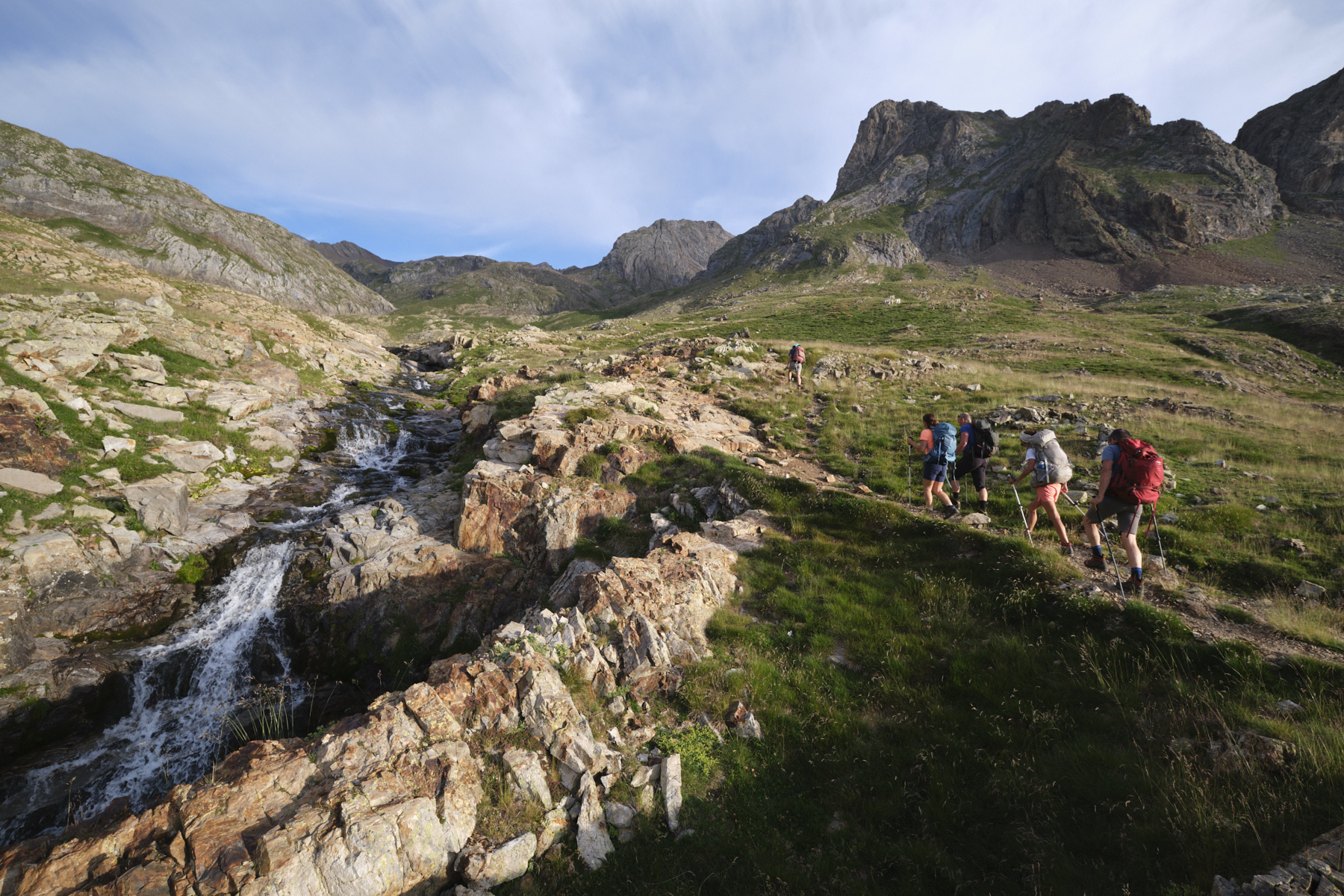
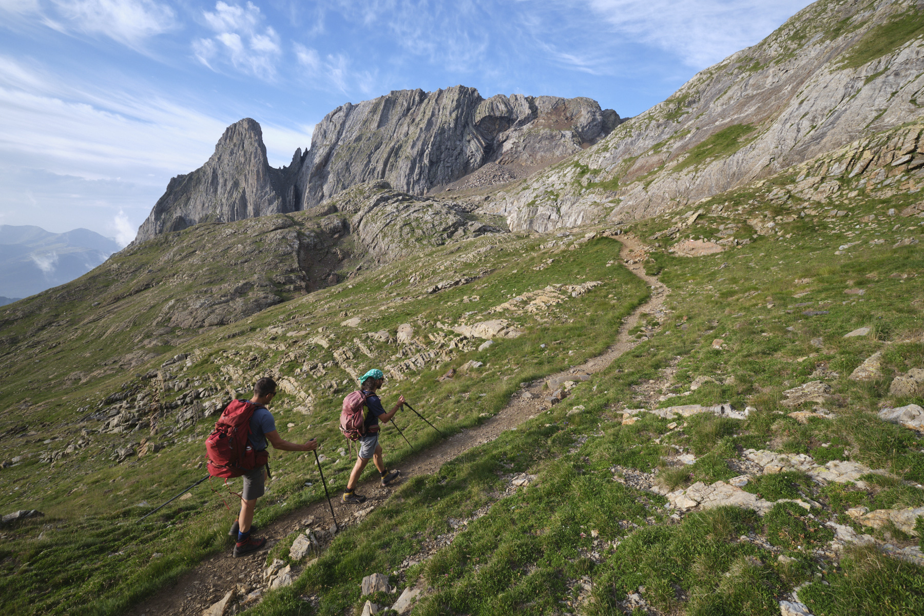
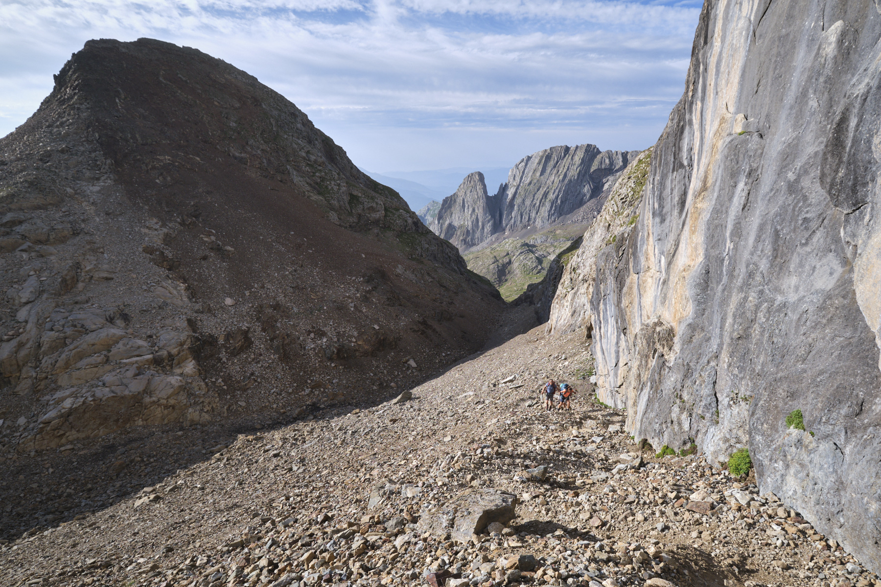
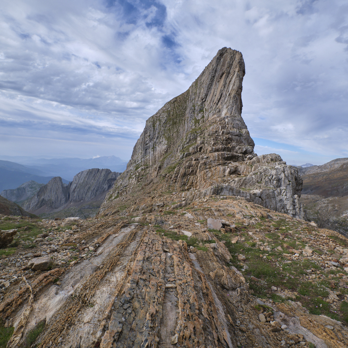
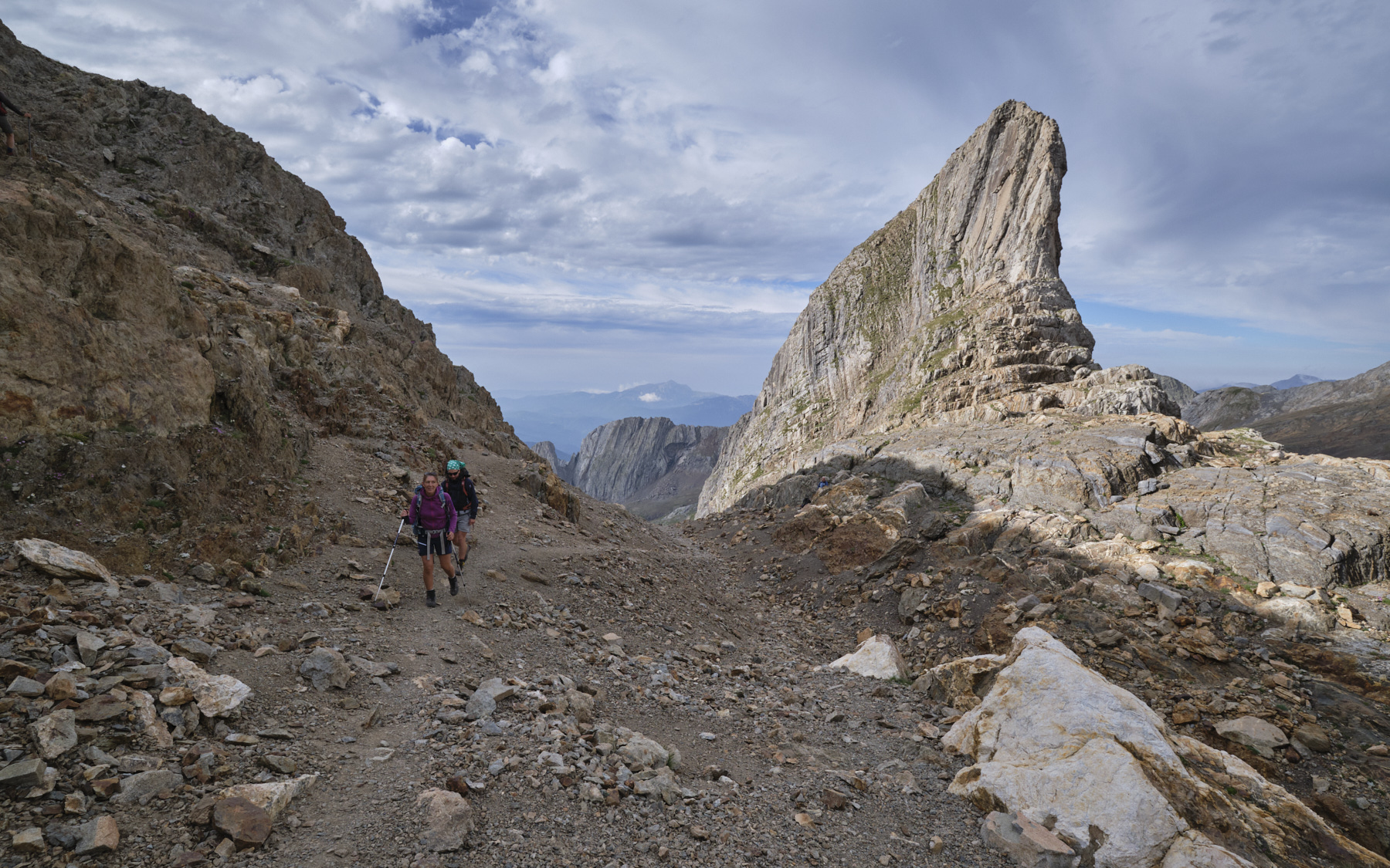
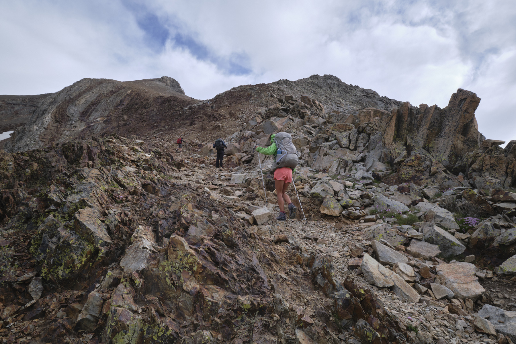
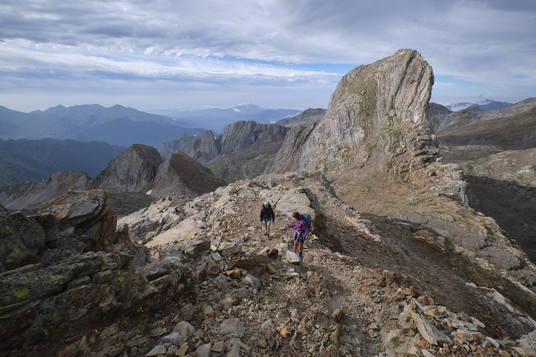
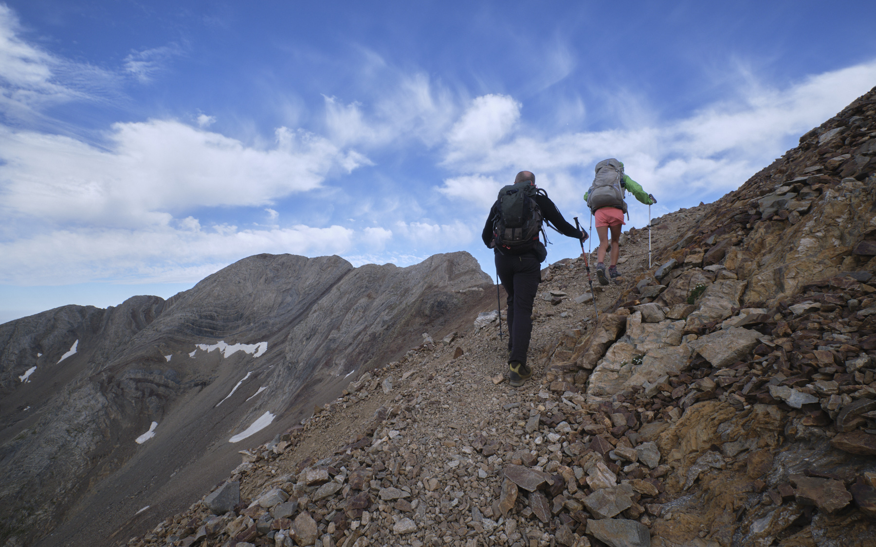
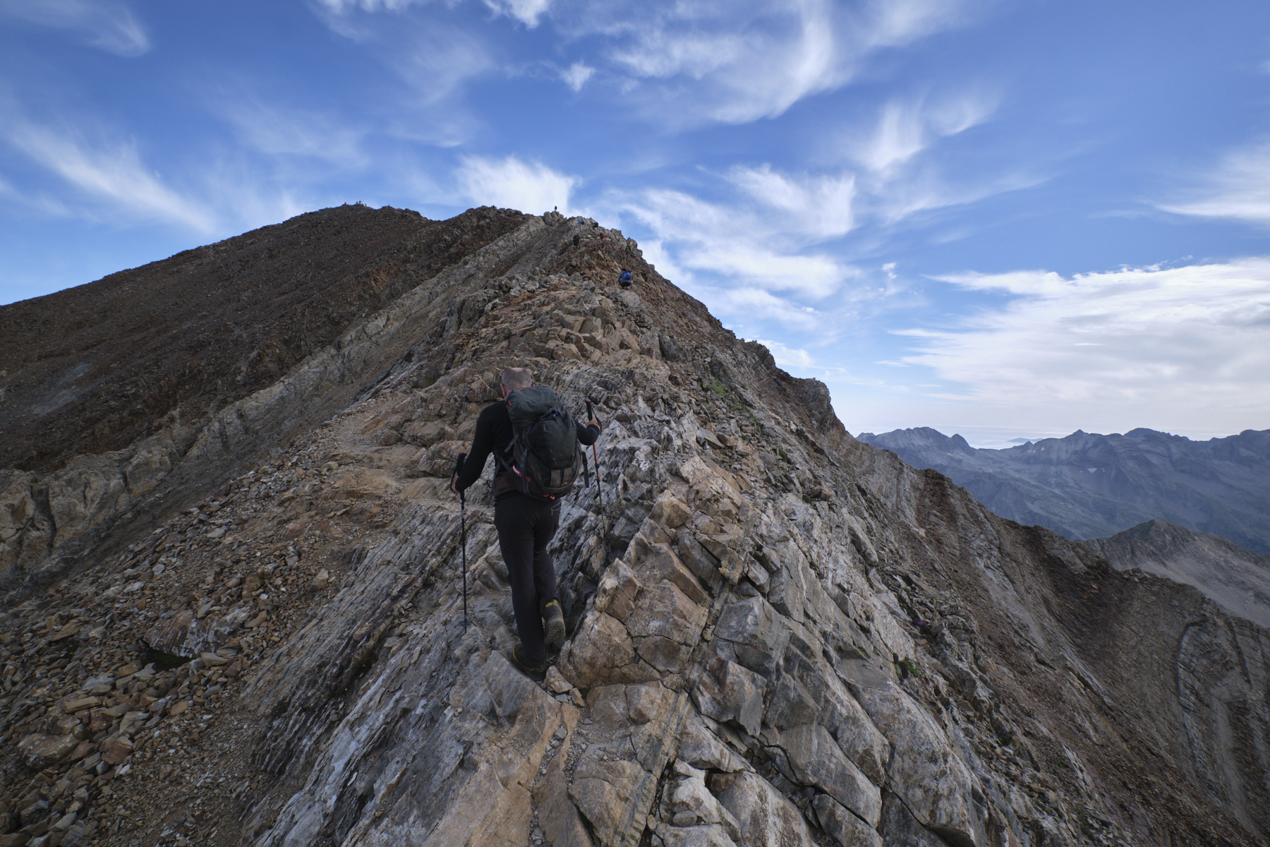
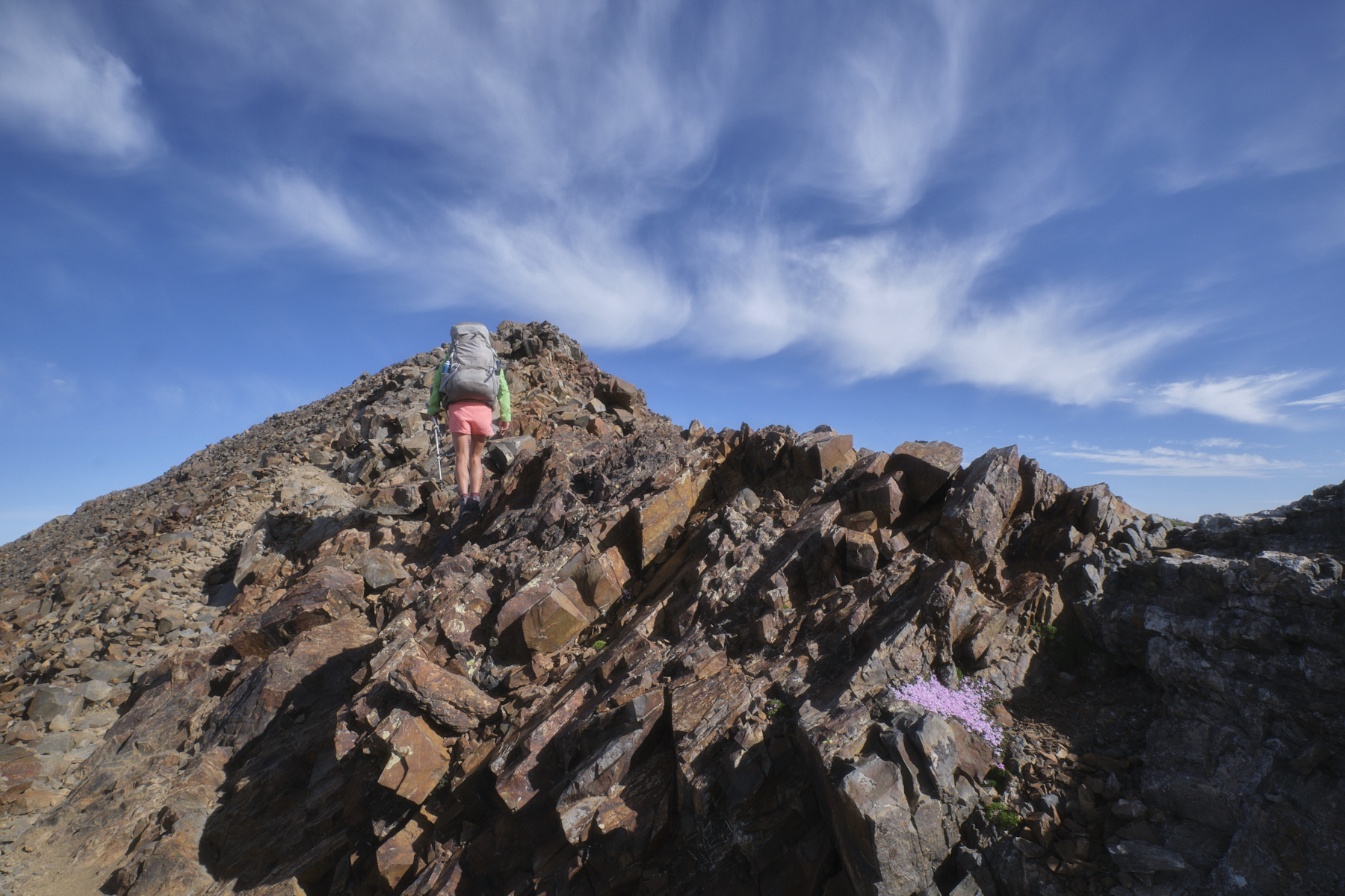
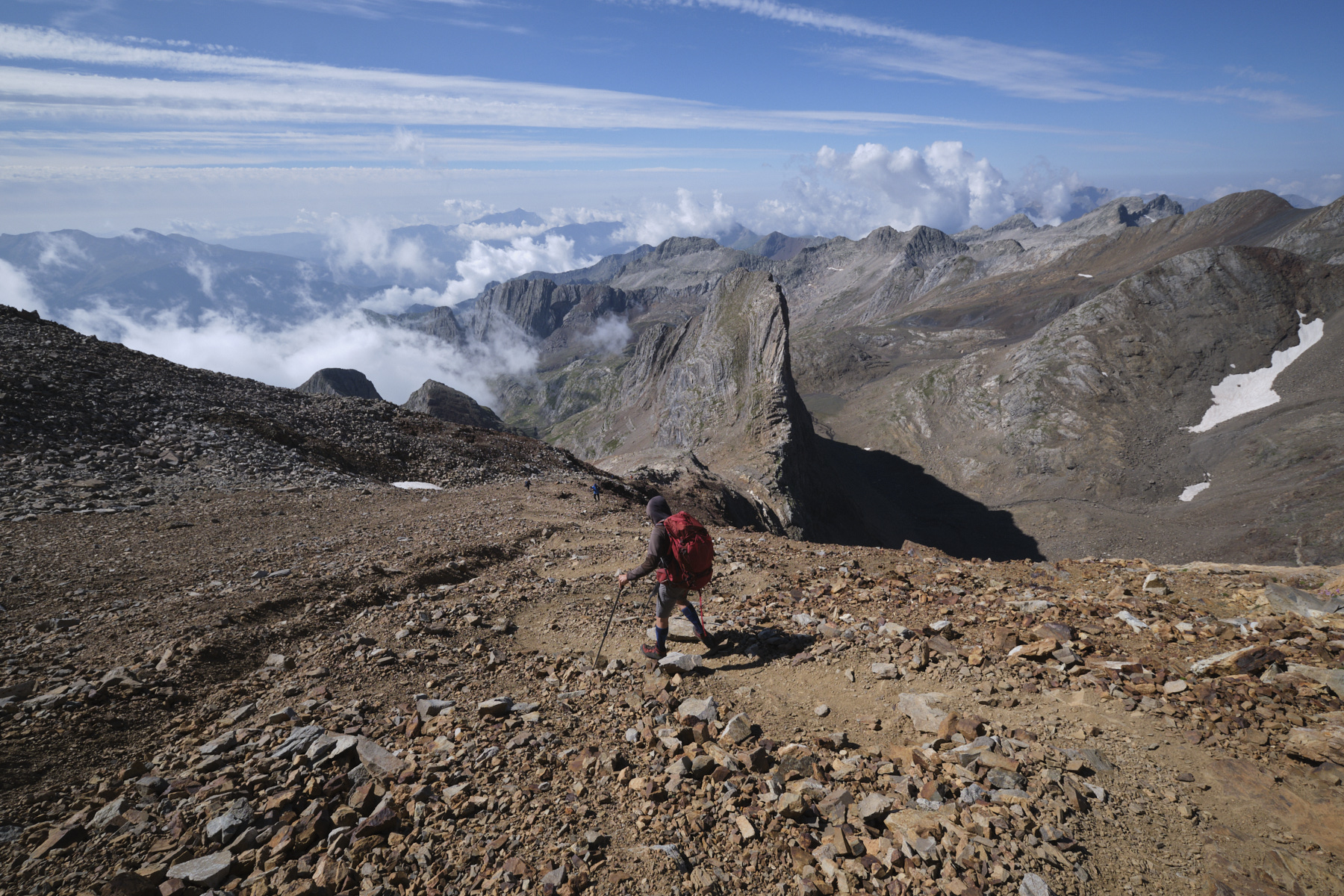
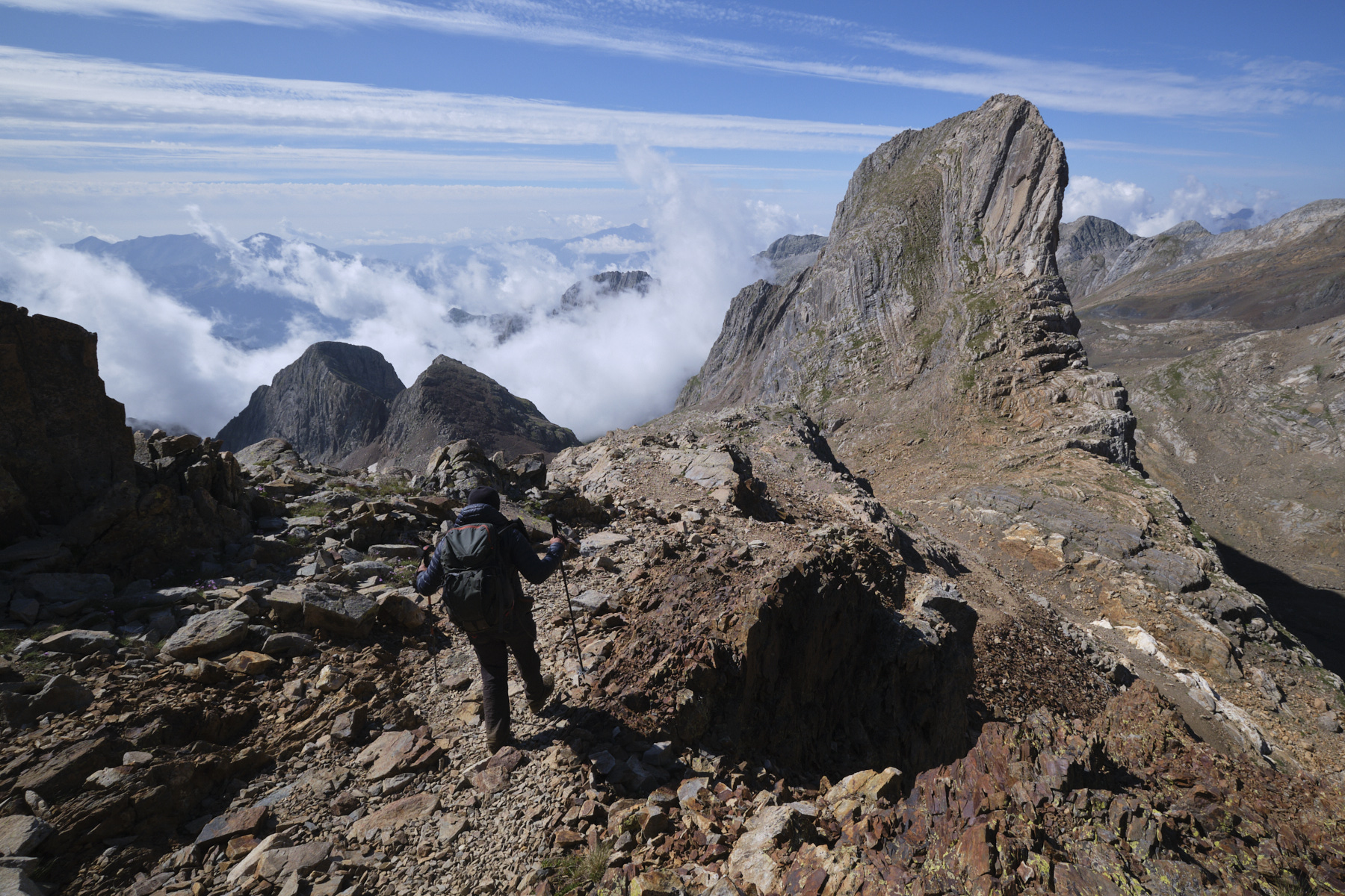
Climbing the Pic des Posets or Pointe de Llardana via the normal route from the Angel Orus refuge is an exceptional hike, despite the crowds. A mineral setting and magnificent geological formations enable you to climb the second-highest summit in the Pyrenees, without any major difficulties, on a classic hiking route. The views from the summit plateau over the Espadas ridge, the LLardana tooth and the Maladeta and Aneto ranges are spectacular.
❱❱ Technical summary
The data correspond to the round trip from the Angel Orus hut.
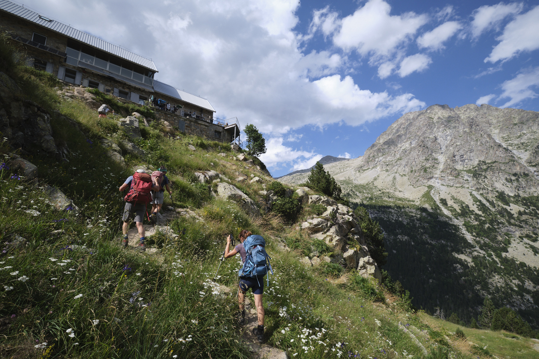
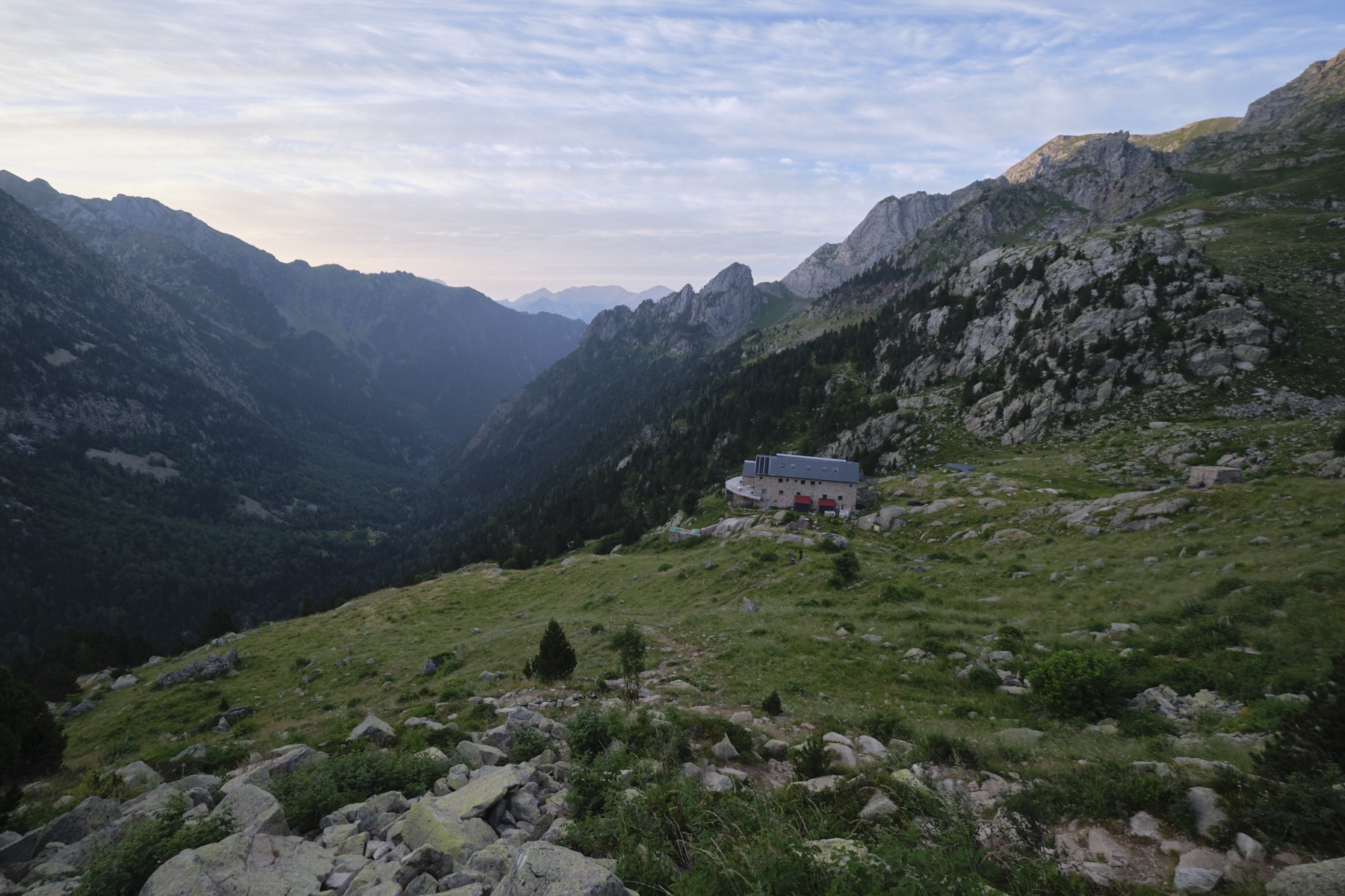
■ Departure point: Angel Orus refuge, Eriste, Aragon, Spain
■ Type of route: round-trip high-mountain hike
■ Distance: 9.9 km
■ Cumulative elevation gain: +1219 m
■ Cumulative negative altitude gain: -1219 m
■ Estimated total time: 5h to 6h
■ Min and max altitude: 2150 m / 3369 m
■ Marking: no, but frequent cairns and well-marked trails
■ Equipment in place: none
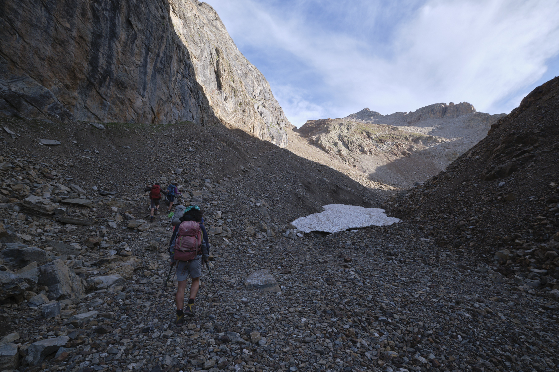
■ Equipment required: crampons if névé in the Fonda canal
Difficulties: some steep sections, possible presence of firn to climb in the upper part of the Canal Fonda below the Dent de la Llardana.
❱❱ Access to the place
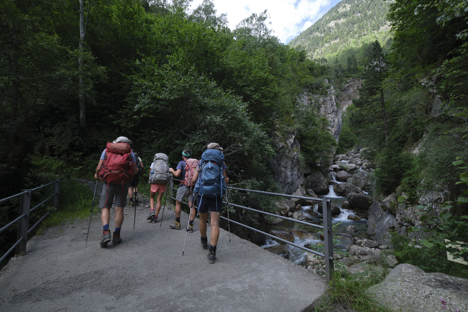
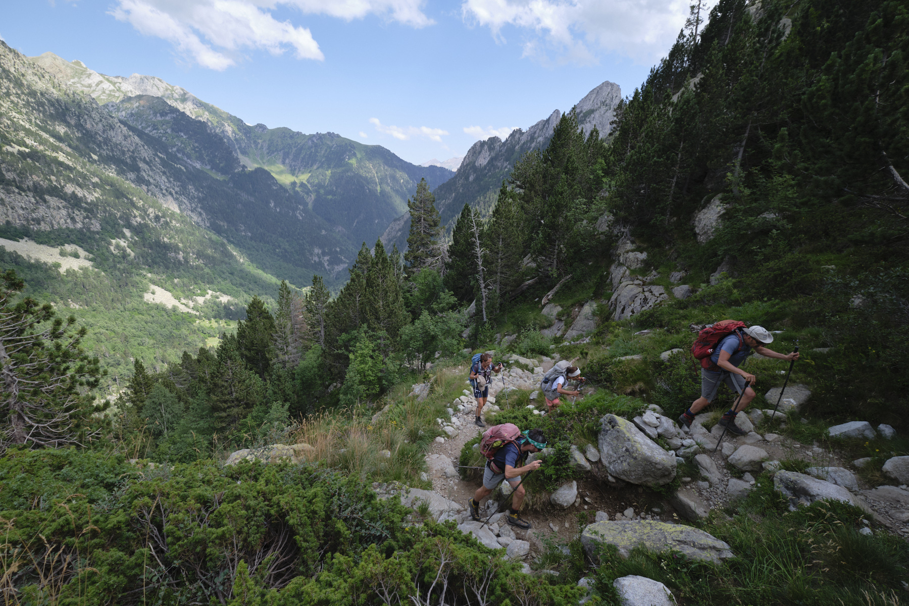
Drive to Eriste, just before Benasque. Park in the parking lots beside the reservoir. To get to the starting point for the walk to the Angel Orus refuge, take a shuttle bus (€5 return, 20') to the Espigantosa waterfall parking lot (a steep, narrow mini-road above the Rio Eriste gorges).
From the waterfall parking lot, take the path up to the refuge (580m d+, 3.5 km), which takes around 1h30.
❱❱ Map & topo

❱❱ Itinéraire
Topo du Pic des Posets par la crête des Espadas


Leave a Reply