


TOPO Climbing | CLIMBING7.COM
Publié le
 Partager sur WhatsApp
 Partager sur Twitter
Partager sur Instagram
Partager sur Twitter
Partager sur Instagram

 Partager sur Facebook
 Imprimer le topo
 Laisser un commentaire

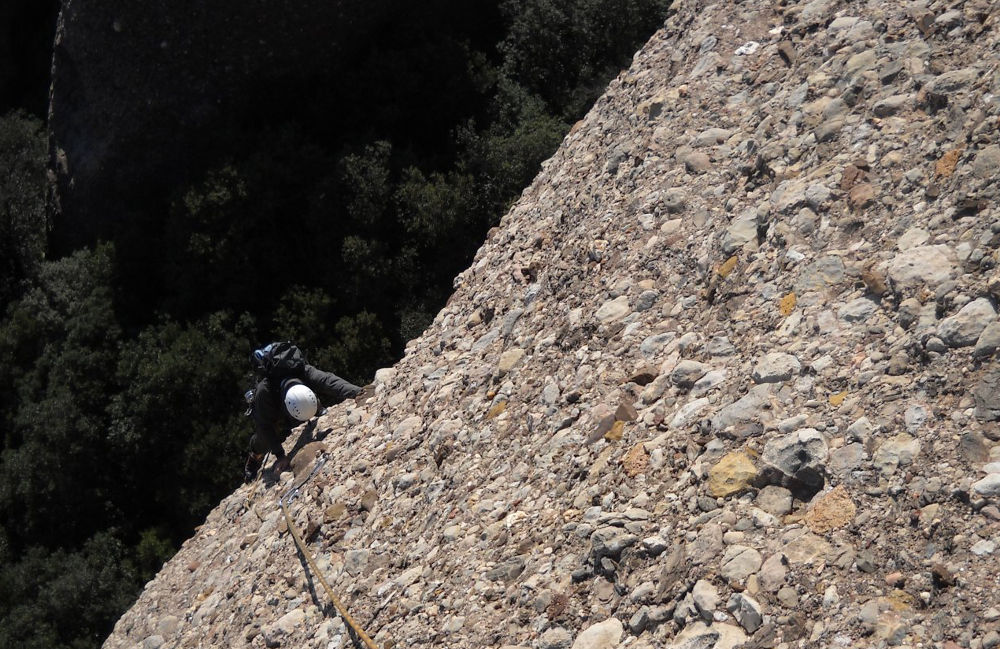
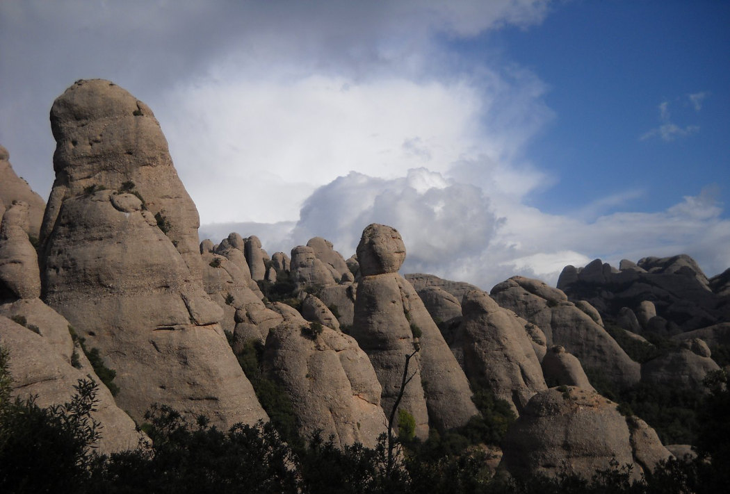
Classic route in the Montserrat massif, west of Les Agulles, easily accessible from Can Maçana. The setting is fabulous, and the summit offers a view of the great void on the north face. The route is very sparsely equipped (too sparsely!), with belay points sometimes 10-15m apart. The route is not very easy to read and the quality of the rock is uneven, with patches of conglomerate in places, especially if you deviate from the route, just waiting to be detached. A nice little stroll to discover the Agulles, even if the route isn't unforgettable, except for the beautiful lead I took in the middle!
❱❱ Technical summary
❱❱ Access to the place
Go to Coll de Can Maçana, on the western edge of the Montserrat massif. Take the A2 from Barcelona in the direction of Leida and exit at Hotel Brucs - salida 572 I believe - then turn right towards Montserrat (at a petrol station). Just before the pass, park in the parking lot, the starting point for the approach walk.
❱❱ Map & topo

❱❱ Itinéraire
Take the G.R 172 towards Santa Cecilia via the cami de la Roca Foradada. Fork right further on (10-minute walk) to take the path leading to Coll de la Portella and Refuge Vicenç Barbé, marked yellow and white. Pass La Portella and take the path furthest to the left (red markings). The foot of the route is reached after a ten-minute walk along the path. After a passage equipped with a knotted rope and a little further before a steep descent into the woods. At the start, a tree and a crack to its right mark the beginning of the route.
The route, opened in 1958, is south-facing and 90m long in 3 equal pitches (30m, 30m, 30m). The equipment (bolts) is a little inadequate, so we recommend 8 quickdraws. Maximum level is V.
L1 (30m, IV)
Start at the shrub hanging 3m from the rock. A first plate above and pick up the fault which climbs straight up. Only 2 more belay points and finish right to find belay 1.
L2 (30m, IV+)
Go straight on above the belay point, finding a first point at a hole. Then continue straight on, passing slightly to the right of an indentation to find another point above. Above it, a little to the left, you'll see a small shrub where relay 2 is located. I went off too far to the right here, finding no nails, and picked up the next route. Be careful, though, as the rock between the routes is crumbly, and that day I picked up 20kg of rocks and a 15m fall!
L3 (30m, V)
Head right out of the belay, diagonally upwards to reach a fault. The first point is there. Then go around this fault and climb up to the top to finish on the summit and find relay 3.
A fifteen-metre abseil down a steep path (a channel between two boulders) back to the finish path. Use the most northerly belay, descending a little the summit of the aiguille by the back before making the approach in the opposite direction.


Leave a Reply