


TOPO Climbing | CLIMBING7.COM
Publié le
 Partager sur WhatsApp
 Partager sur Twitter
Partager sur Instagram
Partager sur Twitter
Partager sur Instagram

 Partager sur Facebook
 Imprimer le topo
 Laisser un commentaire

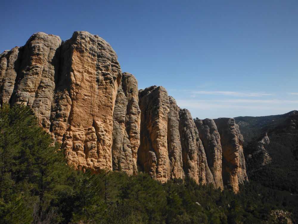
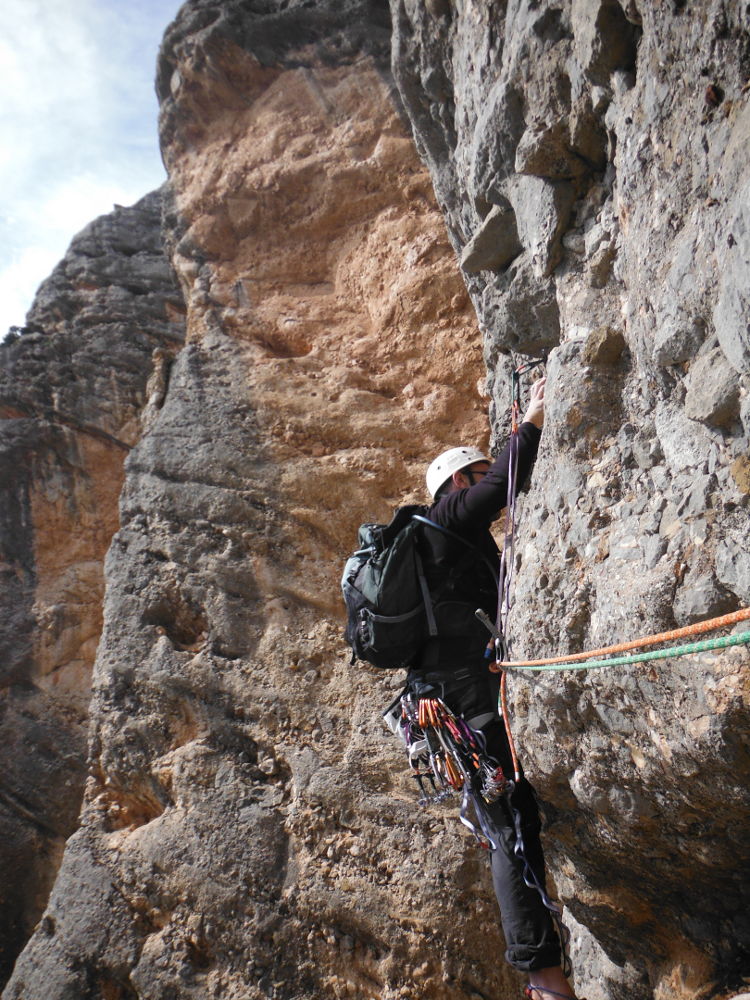
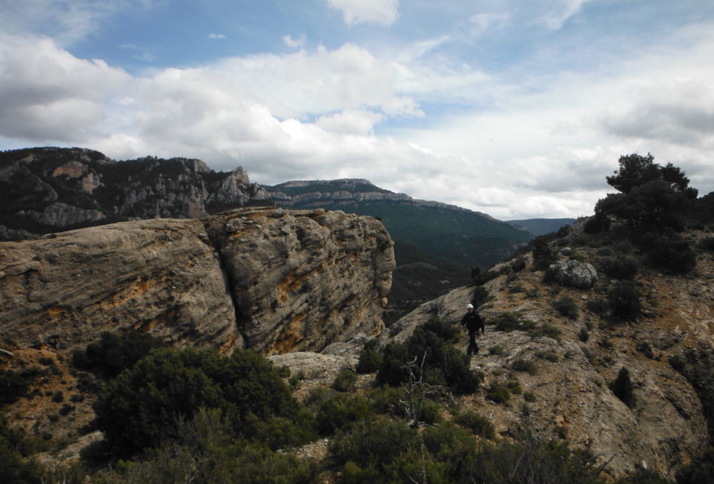
Las Roques del Masmut, an incredible cliff sculpted by time, well hidden to the west of the Ports de Beceit massif. A wild place, orange rock, lost in the forest, a series of imposing columns. In the end, we chose to discover the area on a very accessible route, as the weather wasn't necessarily good either. L'aresta del G.A.S climbs up a ridge between 2 huge columns in the lower part of the cliffs. A 155m V route (V+ as a variant entry), in 5 pitches, without difficulty, with varied equipment. A very pleasant climb, protected from the wind, but with a few exposed passages where it's better to have one or two friends and a few ropes on your harness. The last pitch veers off to the far left, ending up on the summit on the right, where you can admire the view.
❱❱ Technical summary
❱❱ Access to the place
From Arnes, continue towards Vall de Roures before turning off towards the small village of Penyaroja de Tastavins. As you enter the village, turn left and follow the road that runs at right-angles to the sign for las penas del masmut. After about 15 minutes on the track, turn right at the fork and climb to the pass to park. The cliffs are on the left below.
❱❱ Map & topo

❱❱ Itinéraire
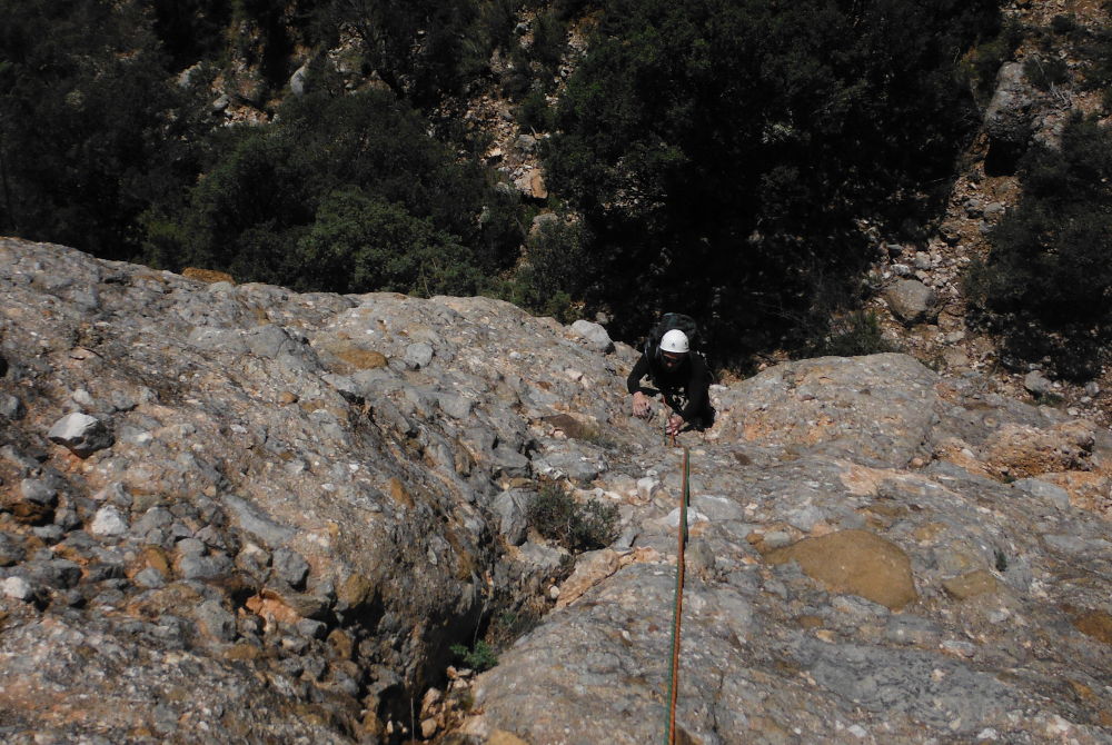
Descend to the foot of the cliffs and follow the base to the start of the Aresta del G.A.S (recognizable from the photo in the topo).
The route is 155m in 5 pitches (20m, 20m, 35m, 35m, 35m). It is fully equipped. The level remains in the V range, unless you start the route vertically with a V+. 1 or 2 small friends may be useful (0.5 to 1).
L1 (20m, V+)
A vertical start in a dihedral. A few athletic steps in V+ before exiting and finishing at the R1 belay (otherwise a diagonal start in IV but exposed).
L2 (20m, V)
Cross horizontally over 2 nails, then head vertically along the large crack to R2 without difficulty.
L3 (35m, V)
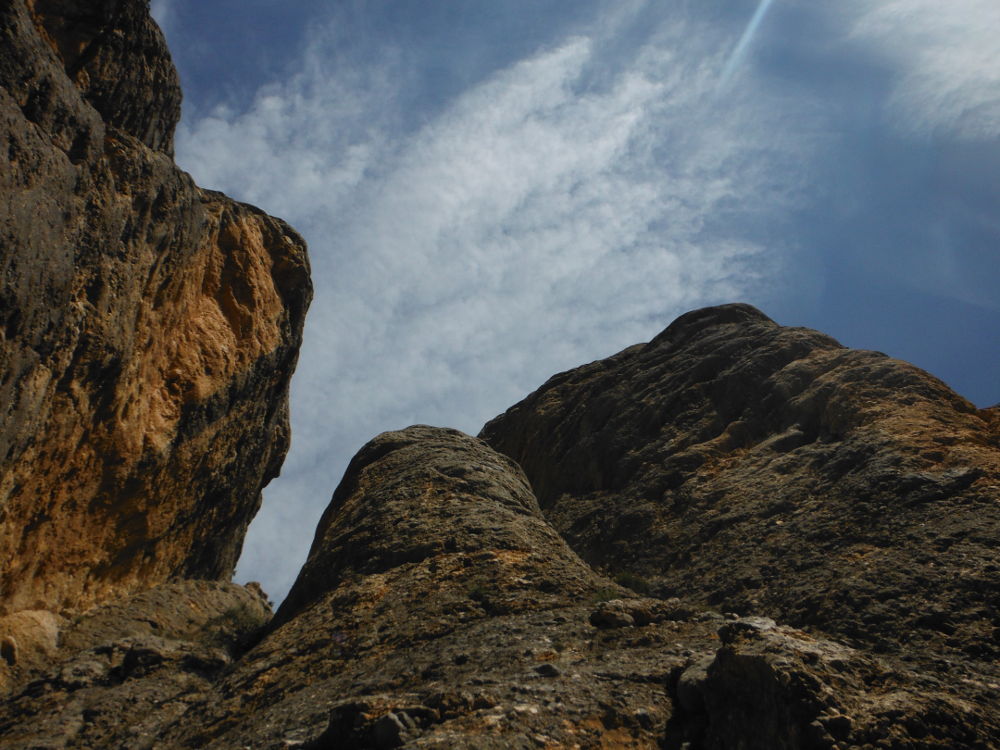
This time the route is vertical along the crack and then on the ridge, shifting a little to the left. Very nice, aerial, V-shaped climb.
L4 (35m, V)
Place 1 friend (0.75) at the start on the left before a good pitch. The rest of the climb is easier in IV+ up to the R4 belay point.
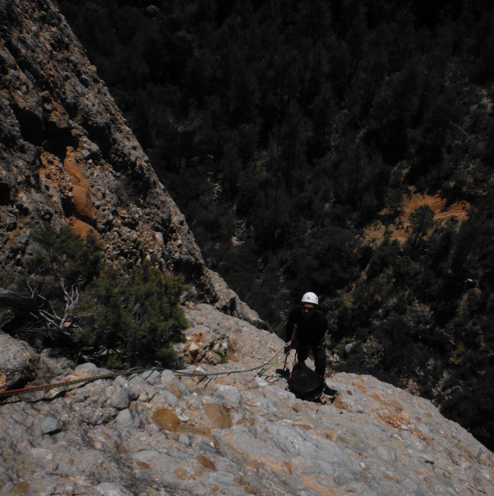
L5 (35m, V)
Some climbing to reach the right rock. The end is a little exposed, so you may need to use a lanyard and finish a little diagonally towards the edge to find the last nail.
Follow the ridge for 25min, more or less following the edge of the cliffs. At the far end, follow the cairns back down to the starting parking lot.


Leave a Reply