


TOPO Climbing | CLIMBING7.COM
Publié le
 Partager sur WhatsApp
 Partager sur Twitter
Partager sur Instagram
Partager sur Twitter
Partager sur Instagram

 Partager sur Facebook
 Imprimer le topo
 Laisser un commentaire

Montserrat, Agulles west sector. Aresta Brucs" routes are those leading directly to the small village of Bruc, on the south face of the massif. There are a number of them in this sector overlooking the village. This route on the Aiguille de l'Arbret is easy and very accessible, even if the approach is rather long. The route is easy to read, well equipped (which is rare for this level) and there are no difficulties, even if the exit abseil is aerial. It's an ideal route for an introduction to long routes, and the scenery is simply sumptuous. You can also follow up with other routes on the Arbre, also accessible at the same level: the Aitor (furthest to the left), the Om Mani Padme Hum (which starts at the Aitor and crosses the Aresta Brucs) and the Realidad Paralela (to the right of the Aresta Brucs).
❱❱ Technical summary
❱❱ Access to the place
Go to Coll de Can Maçana, at the westernmost point of the Montserrat massif. From Barcelona, take the A2 and exit at the Brucs hotel, after the Bruc exit. Immediately afterwards, turn off towards Montserrat and the monastery, and after a few hairpin bends, reach the Can Maçana pass. There, on the right, just before the halter, you'll find a large parking area, the starting point for the approach.
❱❱ Map & topo

❱❱ Itinéraire
Take the G.R 172 towards Santa Cecilia via the cami de la Roca Foradada. Fork right further on (10-minute walk) to take the path leading to Coll de la Portella and Refuge Vicenç Barbé, marked yellow and white. Once past La Portella, take the leftmost path (red markings) along the ridges. Allow 3/4 hour's walk to reach the foot of l'Arbret. This is the needle you'll find on the left of the path, about 10 minutes after descending a gorge equipped with a white knotted strap. The via Aresta Brucs starts on the east side, where the path leads away from the rock (for the first time, it's best to have the map and topo in front of you, so you can spot the needle and the start of the route).
The route is south-facing and 100m long in 3 pitches (40m, 40m, 20m). Equipment is good (bolts), with 10 quickdraws and a few extra lanyards for the bushes and belay 3. Maximum level is V.
L1 (40m, IV+)
Fairly easy, well-equipped pitch. Start slightly diagonally to the left, then after the first hump climb straighter towards the hollow in the rock where the first belay is located. Absolutely superb views of the Agulles cirque and the Frares Encantats to the left and the Collbato and Bruc valleys below.
L2 (40m, V)
Exit the belay on the left to bypass the hole and climb straight up. A short pitch with an overhang then on to belay 2.
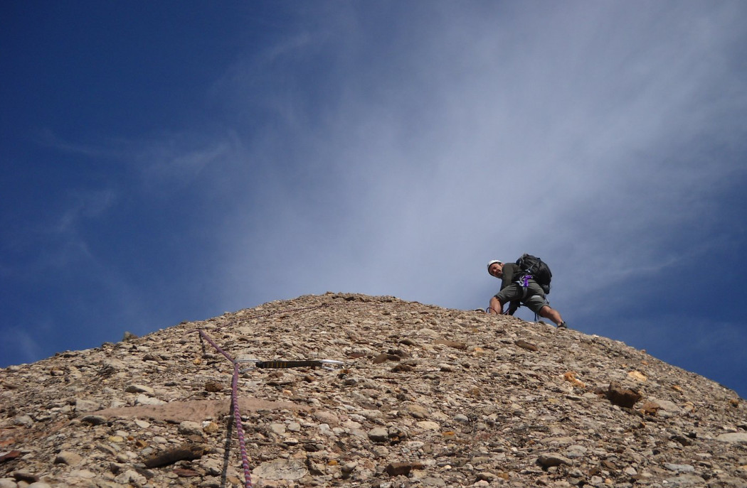
L3 (20m, IV)
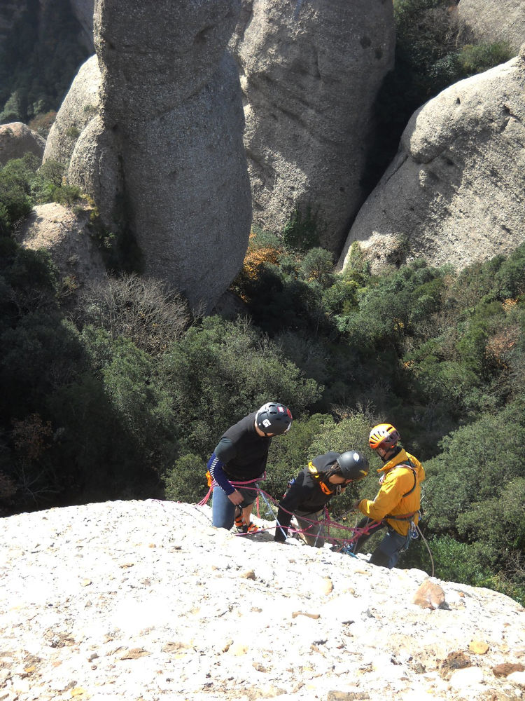
There are no belay points on this easy pitch, which leads to a flat area with a tree to climb a belay. Twenty meters or so remain to reach the summit (without belay) which vertiginously overlooks the north face of Montserrat. Thrills guaranteed.
A very airy 55m abseil on the east face, in a fault before the summit. It can also be done with 2 abseils of 20 + 35m to get back to the Chemin des Agulles, which you can take in the opposite direction to the Can Maçana parking lot.


Leave a Reply