


TOPO | CLIMBING7.COM
Publié le
 Partager sur WhatsApp
 Partager sur Twitter
Partager sur Instagram
Partager sur Twitter
Partager sur Instagram

 Partager sur Facebook
 Imprimer le topo
 Laisser un commentaire
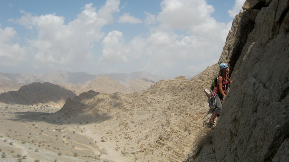
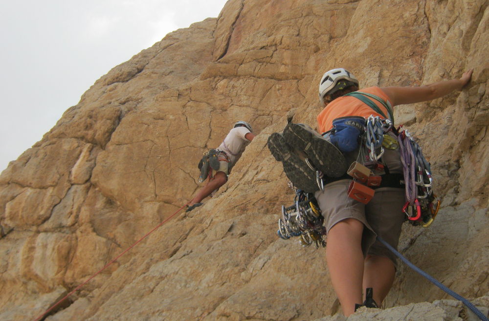
At the entrance to Wadi Shah, east of RAK, Sentinel Rock. A large, rocky piton, with a dozen or so trad routes. Lidakiya is located on the north-west face and climbs a small fissure before halfway up to a first ledge and then the summit. The rock is generally average, as the routes have not been cleaned, particularly in the 1st and 3rd pitches. The start is a little tense over 12m, as it's difficult to protect. In short, a nice route all the same, but not unforgettable.
❱❱ Technical summary
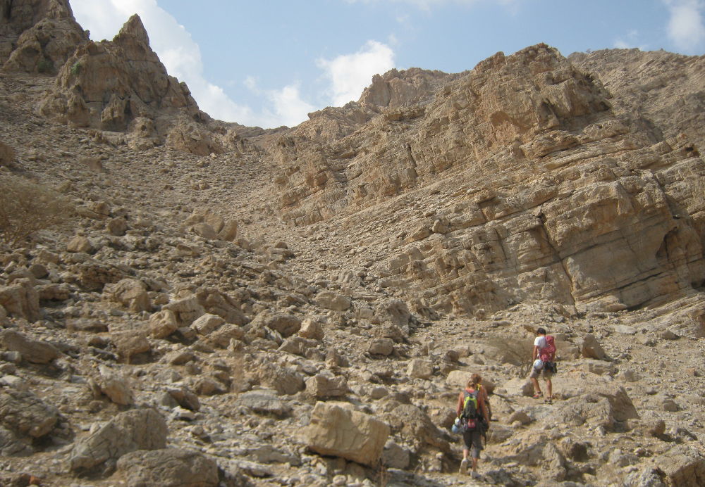
❱❱ Access to the place
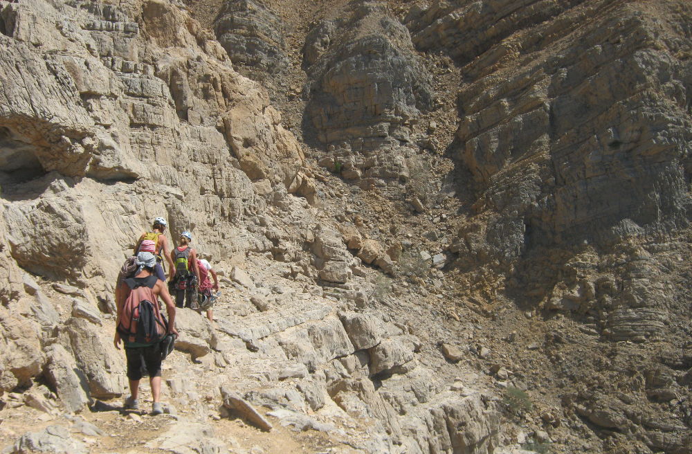
From RAK, enter the wadi and quickly turn off at the squat. Follow the track to park almost at the foot of the rock (see UAE topo guide for more details).
❱❱ Map & topo

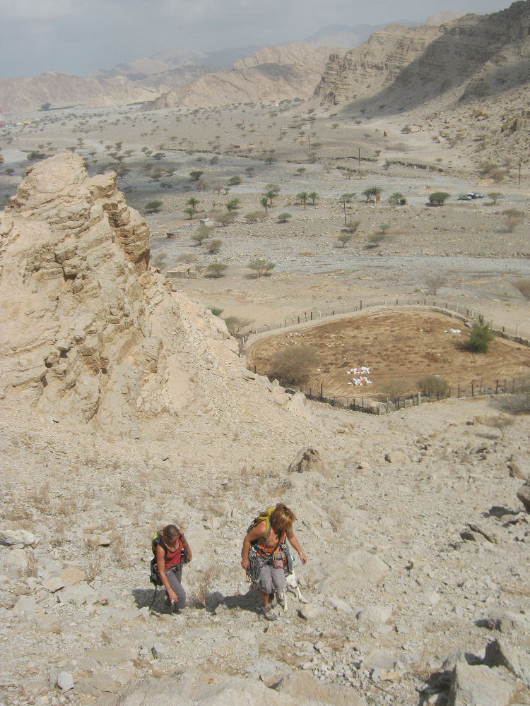
❱❱ Itinéraire
Obvious and fairly quick. Climb up to the base and cross to the other side of the angled central pillar. Spot a crack that runs off a tree at mid-height.
The west-facing route is 120m long in 3 pitches (40m, 30m, 50m). Required climbing level is V+ (VS). You'll need at least a 2x50m, a full set of friends, perhaps doubling from 0.5 to 2, and a few thin nuts.
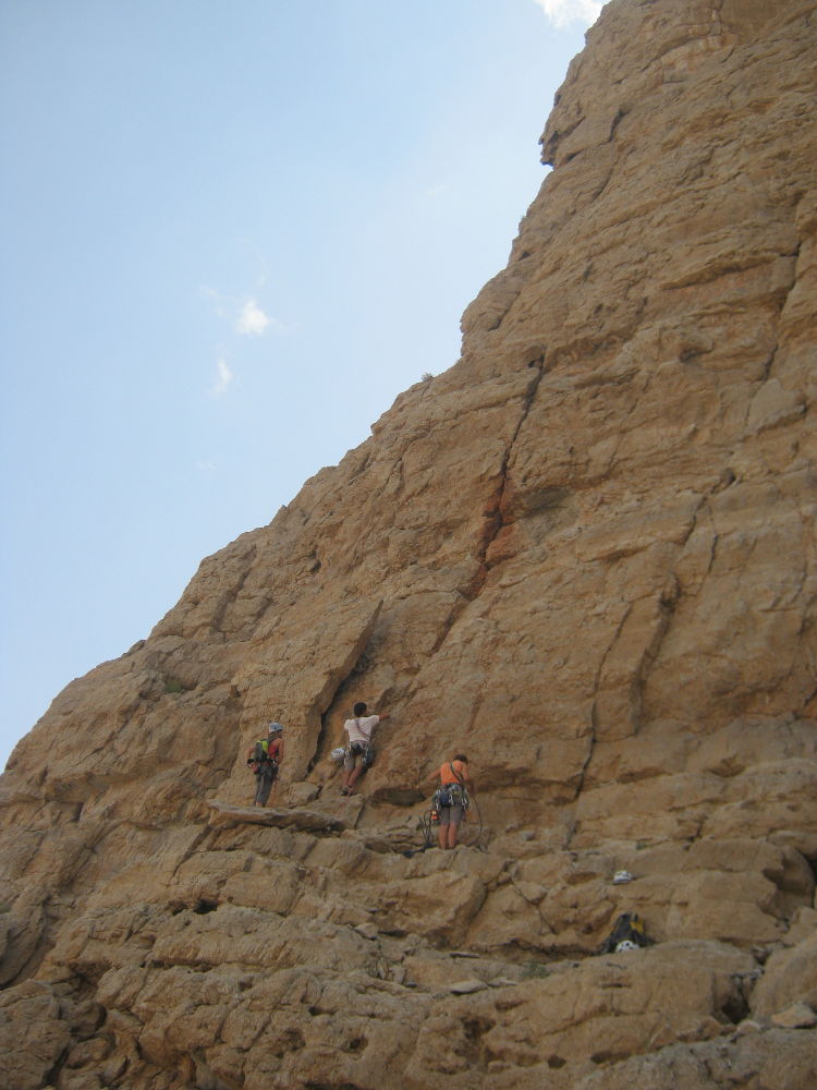
L1 (40m, V+)
A friend at the start as a deflection point and that's it. 10m at least, not so hard but with no valid protection. 1st point "on" in a clean, deep crack at 12m. The rest is better even if ojo with everything that moves. We pass our first ledge. Continue on to find a shelf to the left of a large detached boulder and 10m under the tree to climb R1.
L2 (30m, V+)
Exit towards the tree before joining an inclined dihedral on the left. Climb up and pass to the left of the tree, then straight on into a nice vertical crack (V+ passage) that is easy to protect. Above, we reach a roof where we can climb R2 (or continue 10m to reach a second ledge).
L3 (50m, V)
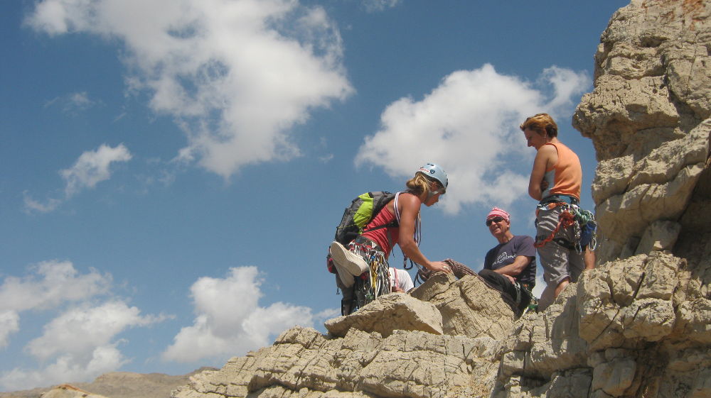
Exit to the right (or left) to climb the last 50m of easier, big steps where you have to choose what you touch! End at the summit, and R3 climbed on one of the large boulders on the ground.
2 options: to the left with some de-escalation or to the right, which we did via an easier path that joins the gully descending to the foot of the tracks.


Leave a Reply