


TOPO Climbing | CLIMBING7.COM
Publié le
 Partager sur WhatsApp
 Partager sur Twitter
Partager sur Instagram
Partager sur Twitter
Partager sur Instagram

 Partager sur Facebook
 Imprimer le topo
 Laisser un commentaire
At the entrance to the gorges, Le Révérend, also the name of the rock, looks like a large, elongated belly. The 1st route in the sector, it's an accessible route that lets you discover the local limestone and test out the "old-fashioned" climbing. The result is a beautiful, varied route (slab, traverse, dihedral), in a sumptuous setting, on impeccable rock, but a committed route, around 130m long (100m announced on the topo?) and a little undercut. The 1st pitch is tricky and worth more than 5b, with at least 2 passages worth V+. The 3rd, also announced as V+, starts without hesitation with a 6a pitch. The equipment is good and solid (pins), but you have to climb between the nails, with a few exposed passages where you don't want to fall. In short, the route is still recommendable if you play the game with a little margin on your level.
❱❱ Technical summary
❱❱ Access to the place
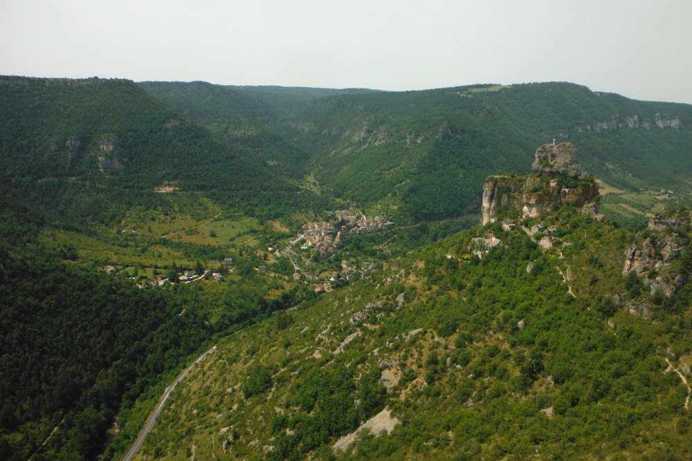
In the village of Le Rozier, climb to the Capluc rock (a cross at the top and a small abandoned village listed as a heritage site). At the top of the hairpin bends, leave your car on the side of the road.
❱❱ Map & topo

❱❱ Itinéraire
Start by following the vaguely cemented road and reach the village. Then take the signposted GR 6a, which slopes off to the east. You'll soon see the Reverend. Once you're almost underneath it, branch off to reach the base, then walk around it to find the foot of the path (inscription on the rock).
The route faces south, south-west, and is 135m long in 4 pitches (35m, 35m, 20m, 35m). It is fully equipped with matte gray sealed pins.
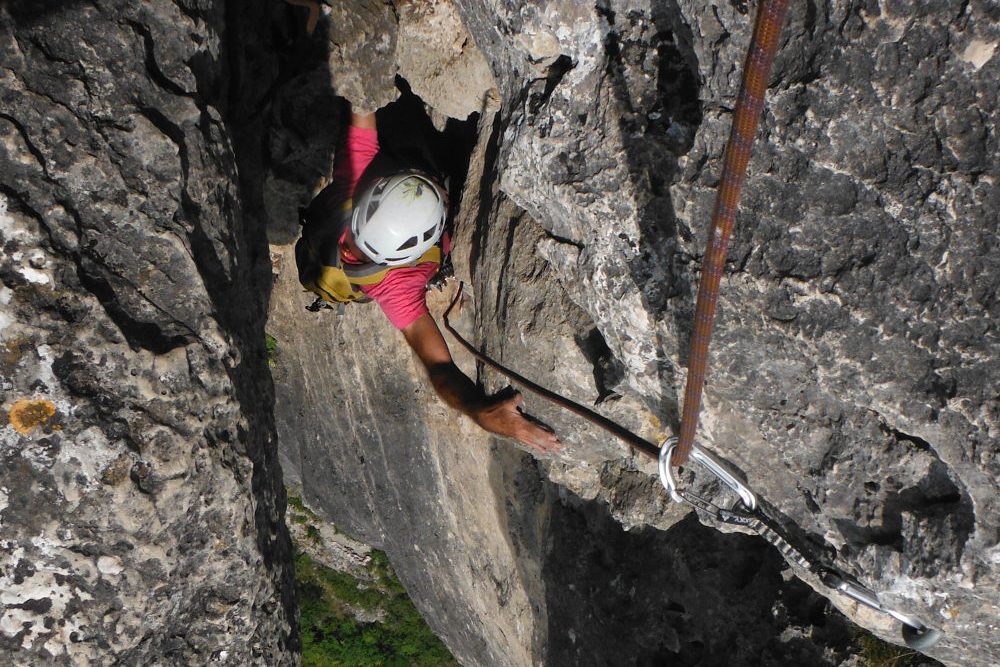
L1 (35m, V+)
A tricky 1st section with 2 fine pitches, the rest is V-shaped. It goes straight on, then slightly to the right to bypass a small roof before following diagonally left to the very comfortable belay in a hollow.
L2 (35m, V)
More homogeneous in level but with an aerial traverse and 2 well-committed passages (7 or 8m between points). It ends on a narrow ledge to be crossed to the left.
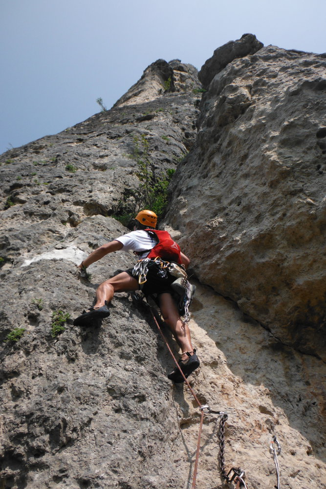
L3 (20m, 6a)
Very vertical start, one or 2 fine steps but very well protected. We then progress along a slab on a slight angle to the left, with a few small, straightforward rulers. The end of the climb is more challenging, and you reach the large final dihedral. The belay, already in the dihedral, is also very comfortable.
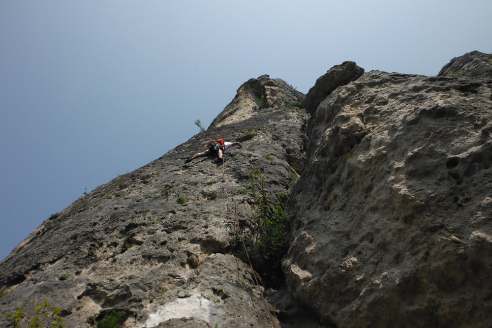
L4 (35m, V+)
Exhilarating but fairly easy exit from the belay. Then a nice climb in diedre, nice holds, a few athletic passages, but there's everything you need. The final section is a little exposed, then dihedral exit to the left.
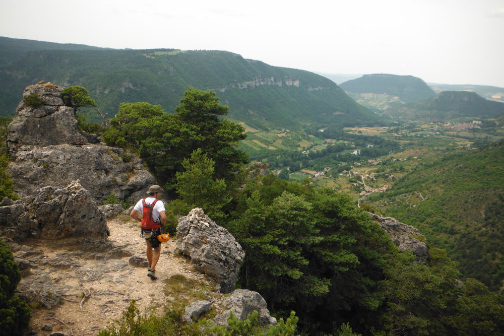
The 1st option is to abseil the route, but I think you need at least a 2×50, which we didn't have. So we went out over the ridge, doing a mini abseil behind and then descending a small path that joins the Jacques Brunet trail ? signposted with red dots. The path follows the ridge with aerial views over the entrance to the Gorges du Tarn before descending to find the GR 6a back to Capluc and the parking lot.


Leave a Reply