


TOPO Climbing | CLIMBING7.COM
Publié le
 Partager sur WhatsApp
 Partager sur Twitter
Partager sur Instagram
Partager sur Twitter
Partager sur Instagram

 Partager sur Facebook
 Imprimer le topo
 Laisser un commentaire
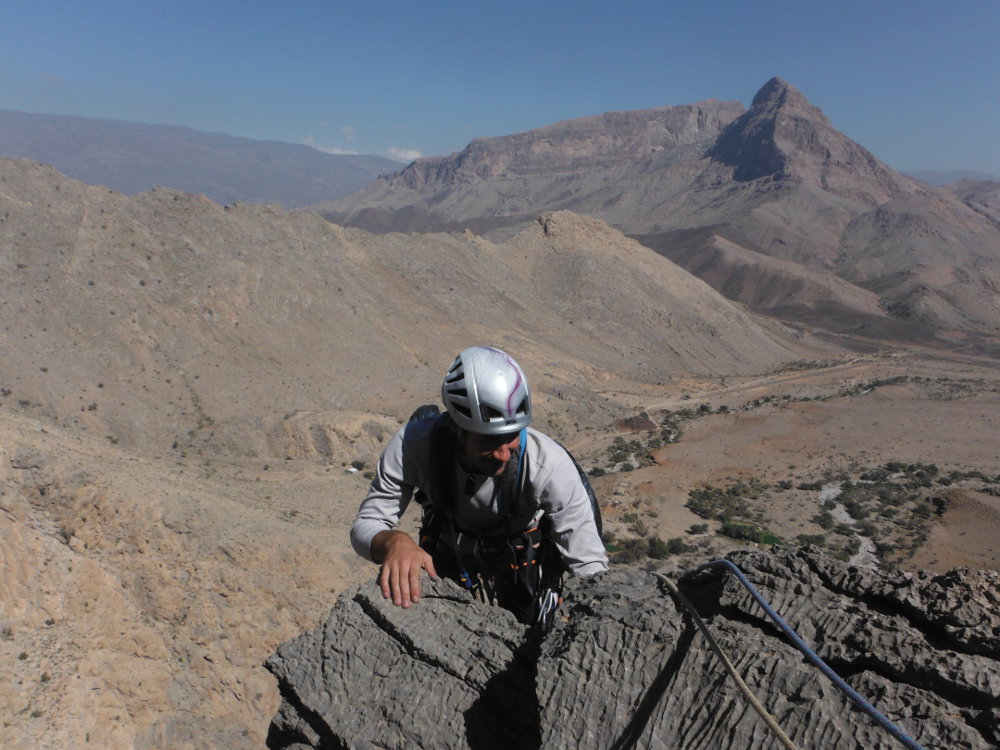
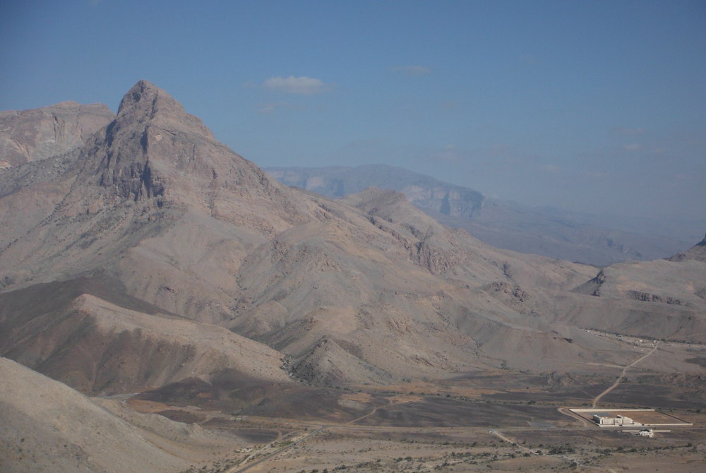
Back to the Jebel Kawr with a new route opened, in trad, above the hamlet of Al Gowail, on the high plateau that links the Misht valley to that of the Wadi Ghul, at the foot of Jebel Shams. We set off to test "Petite journée", an idea taken from Remy Thivel's website, and after a good hour's fruitless search for the start of the route, this Balade climbs the left flank of the deep gorge that runs down from the village towards the large Kawr walls. 4 not uninteresting pitches to finish on one of the ridges leading to the crest, before crossing the flank to finish at the head of the 1st rocky spur. Easy route, even if there are one or two V/V+ passages, peaceful setting and relaxing atmosphere. Not unforgettable, but a nice walk, another short day in Oman. So we took the opportunity to bivouac for the evening at the foot of Jebel Manjub, opposite Misht, on the gigantic walls of Jebel Kawr, and spotted the start of Paradis des Grenouilles, with its 500m in 13 pitches, determined to come back and do it again, as soon as the days get a bit longer.
❱❱ Technical summary
❱❱ Access to the place
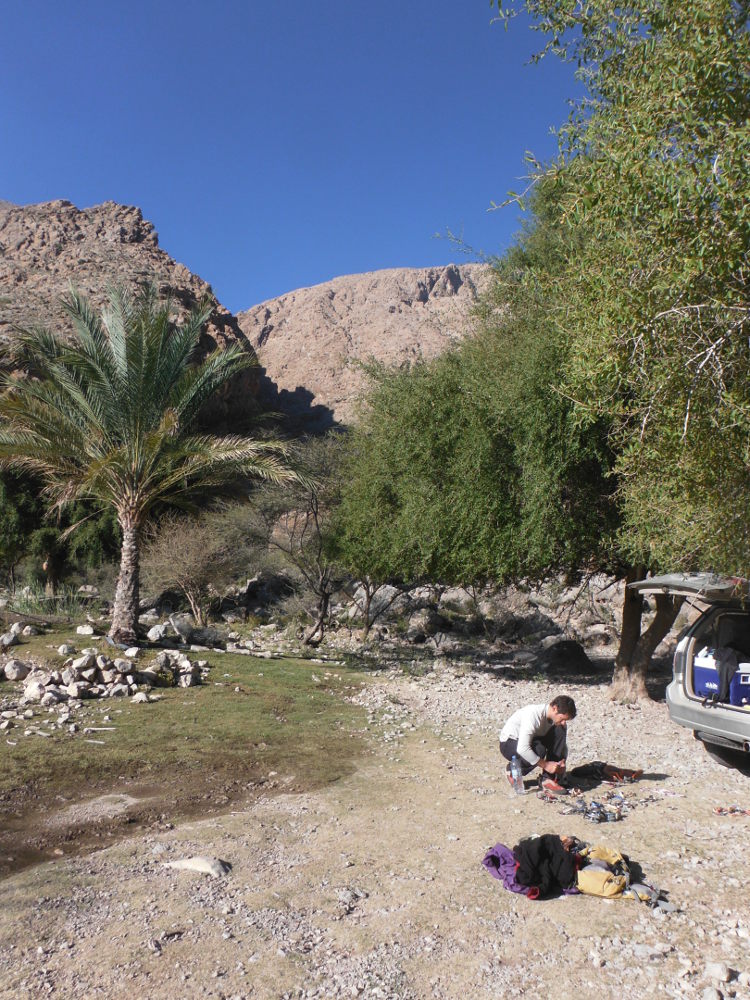
This is the same as the route to Jebel Misht and Jebel Assaït. On the road from Abri to Nizwa, fork left at Kaburah and head towards Al Ain. Continue past the foot of Misht to Barut, where you turn right at the small traffic circle. Cross the Assaït track and, after several kilometers and a few hairpin bends, cross a pass onto a wide plateau. Take the 1st road on the right, heading straight for the mountain. At the end, this becomes a track, cross the hamlet to reach the basin at the bottom of the falaj, almost at the entrance to the gorge (see access map below).
❱❱ Map & topo
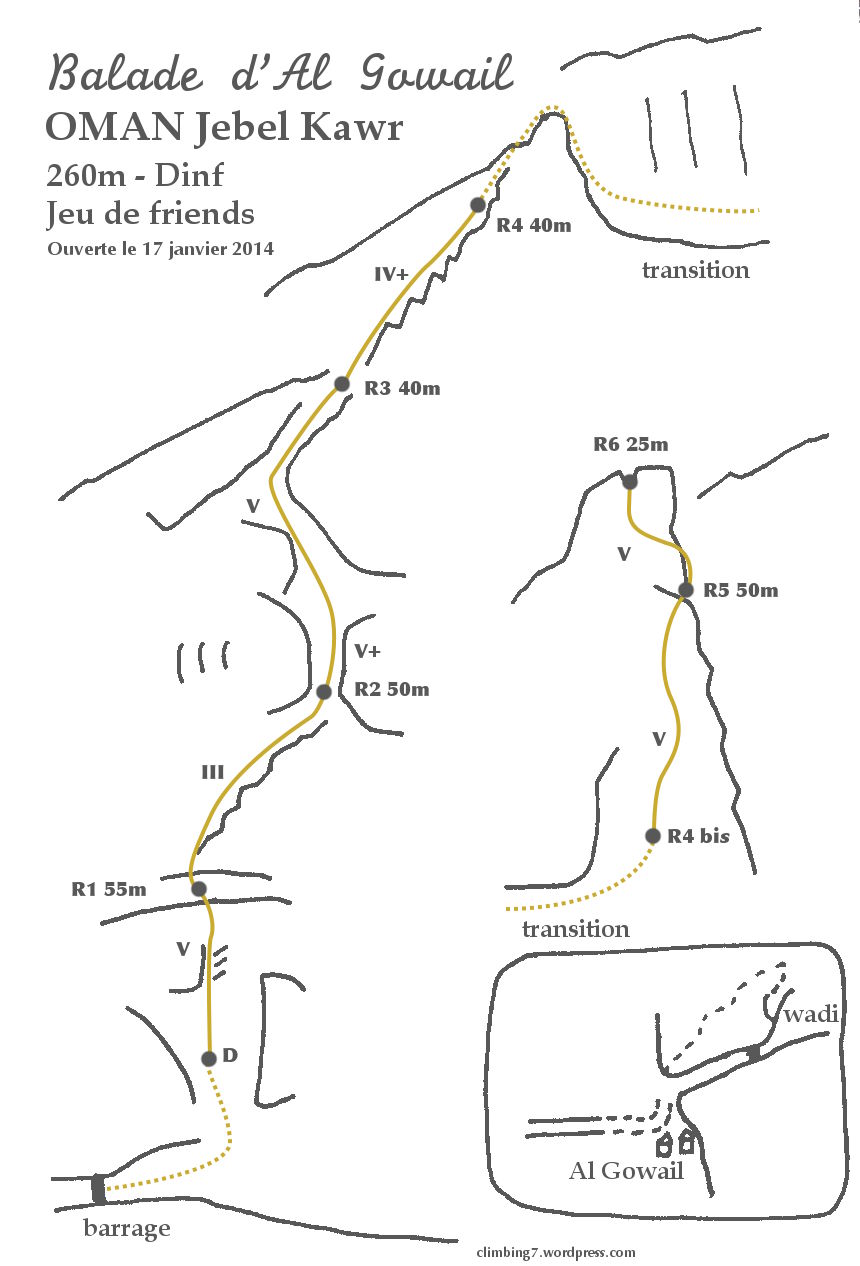
❱❱ Itinéraire
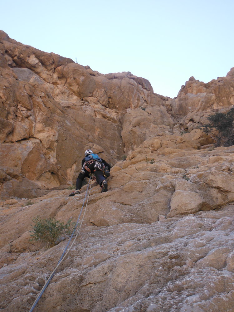
It starts by going up the wadi on the right-hand side of the falaj to the small stone dam. Cross to the left. The route starts here, on a kind of sloping slab that you can climb a little before starting the 1st pitch.
The route faces northwest. Around 260m in 6 pitches (55m, 50m, 40m, 40m, 50m, 25m) with a maximum level of V+ on some pitches. The rest of the route is IV+/V. No equipment in place. Bring a set of friends and a few stoppers. The rock is uneven, excellent in places, on a few passages (L6 for example).
L1 (55m, V)
Climb the slab to reach a dihedral to the right of boulders. Reach a higher level, 10m above the shrub to climb R1.
L2 (50m, III)
Very easy, follow the sloping ridge up to the right. Relay to R2 at the foot of a gully that marks the only obvious passage through the rocky bar.
L3 (40m, V+)
Pass the gully and curve left to reach a small dihedral that joins a 1st ridge. A step or 2 here is finer, less obvious protection. R3 at the foot of the ridge.
L4 (40m, IV)
Easy and airy. Climb the ridge of hyper-abrasive boulders. The draw soon requires a belay on the ridge before the summit.
Transition
Finish the ridge (you'll then see the other side going downhill), then cross to the right, going downhill a little, skirting the base of the spur and climbing further up another slope. Reach a shrub from which L5 can be started.
L5 (50m, V)
From the shrub, head diagonally right, then straight up. There are a number of flats before heading right again to join the ridge and place the R5 belay on the edge at the foot of the spur.
L6 (25m, V)
Zigzag up the rock head. Not very hard, but poor quality rock. End on the summit, in a clean break between 2 boulders.
It's simply a matter of descending on the opposite side to the village (almost at sight), but tiring as the terrain is very rocky and there are no marked paths.


Leave a Reply