


TOPO Hiking | CLIMBING7.COM
Publié le
 Partager sur WhatsApp
 Partager sur Twitter
Partager sur Instagram
Partager sur Twitter
Partager sur Instagram

 Partager sur Facebook
 Imprimer le topo
 Laisser un commentaire
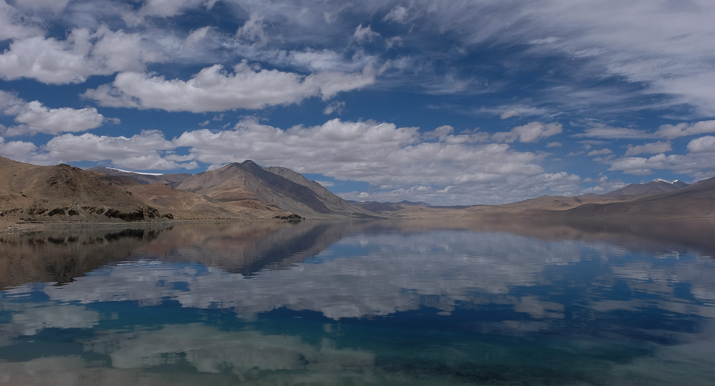
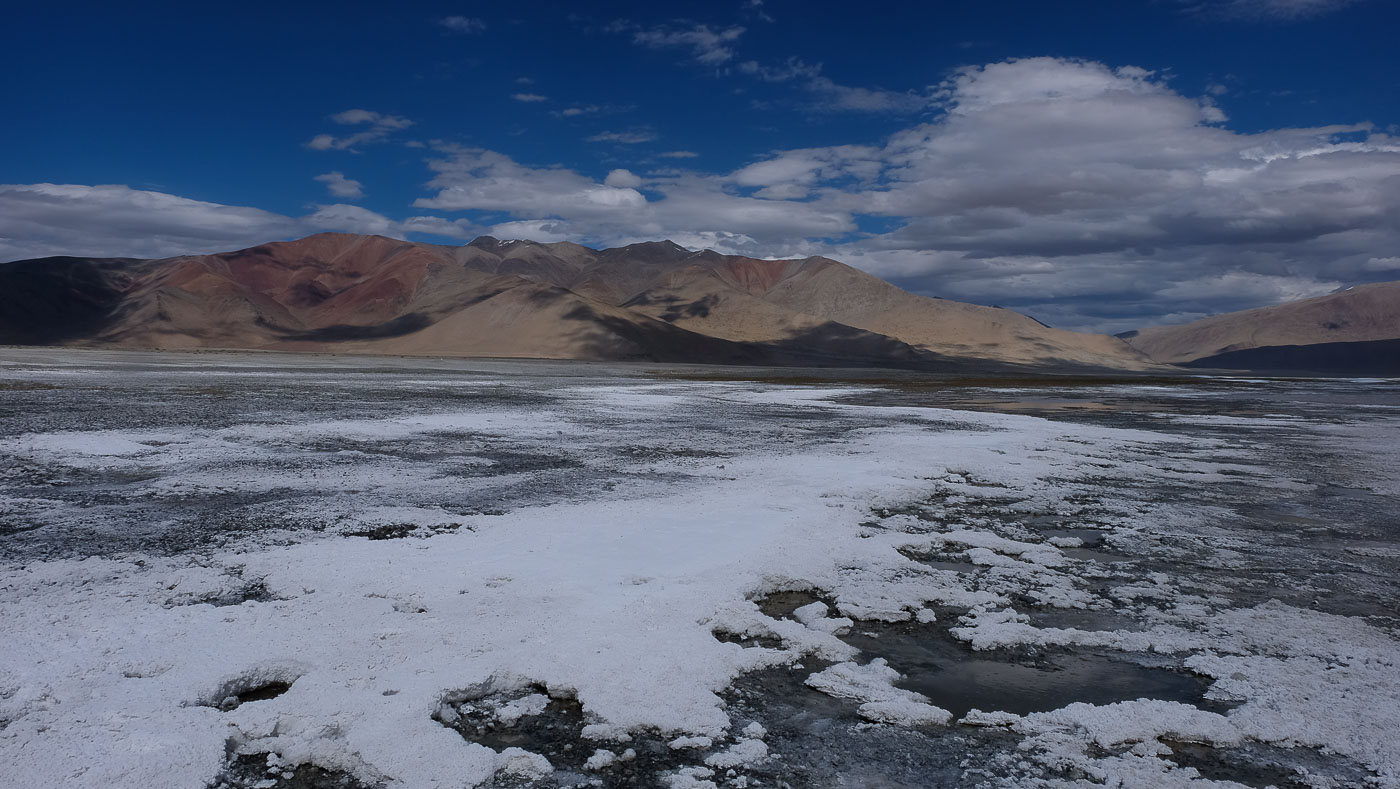
Following our 8-day trek in Ladakh from Zinchan to Dat via the Markha Valley, a short jeep transfer takes us to the salty banks of the Tso Kar at 4600m a little further east for a day's rest. Exploration, crossing the immense plain that leads to the white shores of the Tso Kar, climbing the surrounding 5000m for splendid panoramic views. Then it's off for 3 intense days and another festival of stunning scenery. The 2nd day is particularly difficult, with 3 passes between 5000 and 5400m. Although acclimatized, we have to draw on all available energy, if any remains, to finish the stage. Camp at 5150m before crossing the final pass at 5500m and admiring the limpid blue waters of the Tso Moriri reflecting the snow-covered 6500m of the area! We finally end up in Karzok for a day's stroll around the lake. At the end of the trip, it's back to Leh by jeep, where we'll once again discover some amazing places, including the incredible Indus Valley and its yellow and purple rocks. A new avalanche of photos!
❱❱ Technical summary
Type ✦ High-altitude hiking
Location ✦ Karzok
Region ✦ Ladakh
Country ✦ India
Difficulty ✦ D
Max altitude ✦ 5410m
Duration ✦ 6 days (including rest)
Interest ✦ ★★★
❱❱ Access to the place
From Leh, on the main road to Manali, a track leads off to the left and in just a few kilometers leads to the Tso Kar fixed camp on the north side (it is possible to continue along the track that skirts the lake to the right and land on the other side, thus saving a little time on the 1st stage).
❱❱ Map & topo

❱❱ Itinéraire
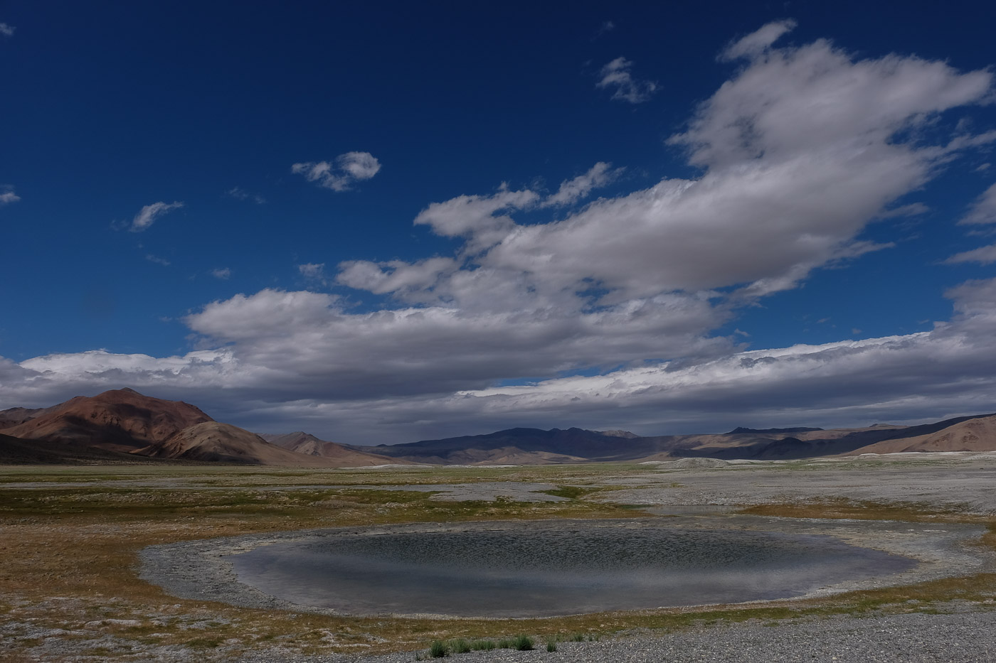
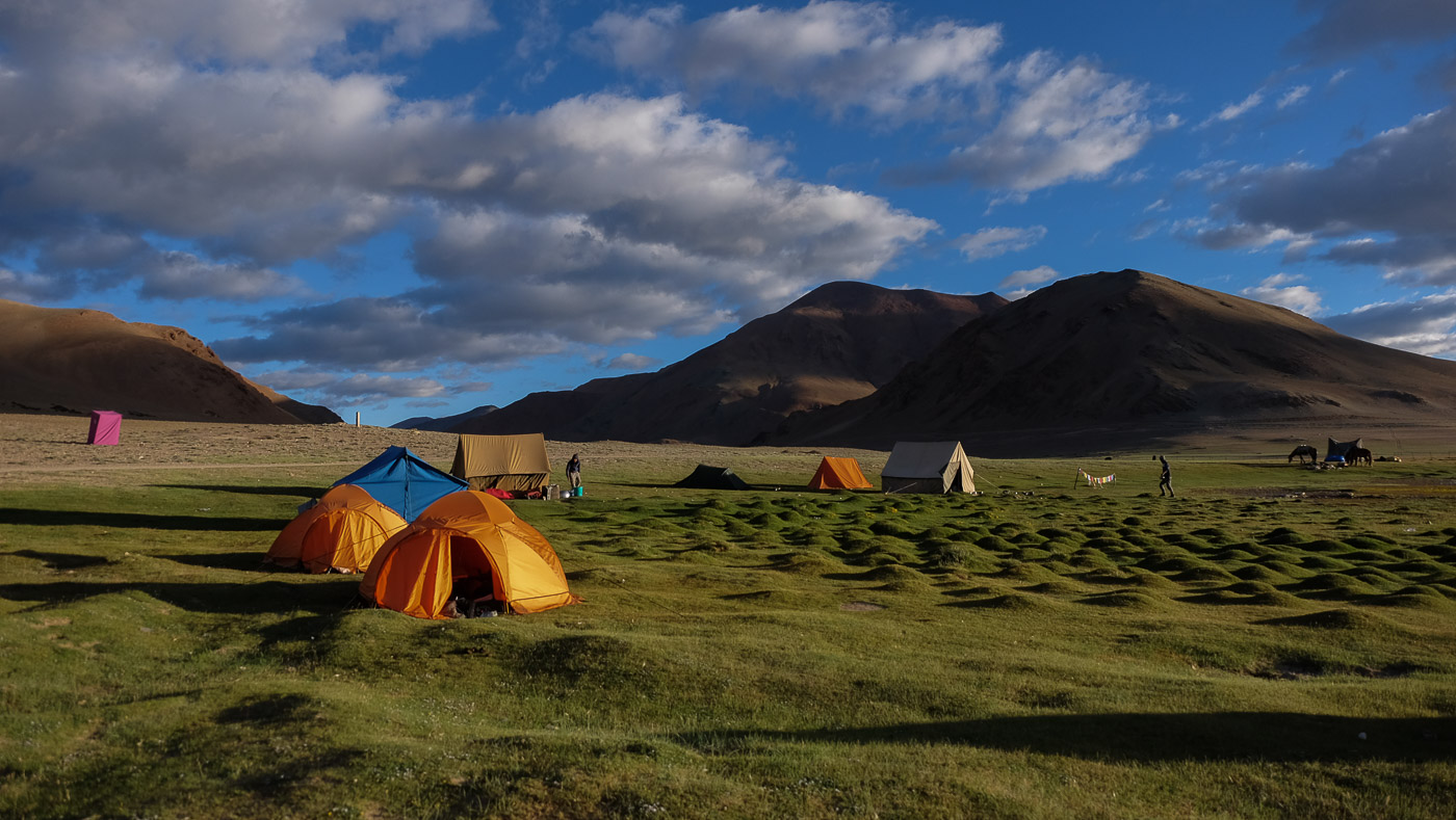
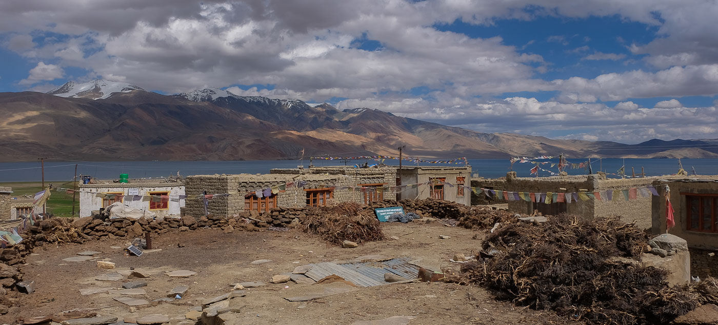
Transfer from Dat to the banks of the Tso Kar via the Yar La pass (4950m). Great scenery, return on the main road from Leh to Manali, stop at the local "routier". From the Tso Kar camp, a beautiful jaunt to reach the salty shores of the lake and short climbs on the surrounding 5000m, just to keep up the pace.
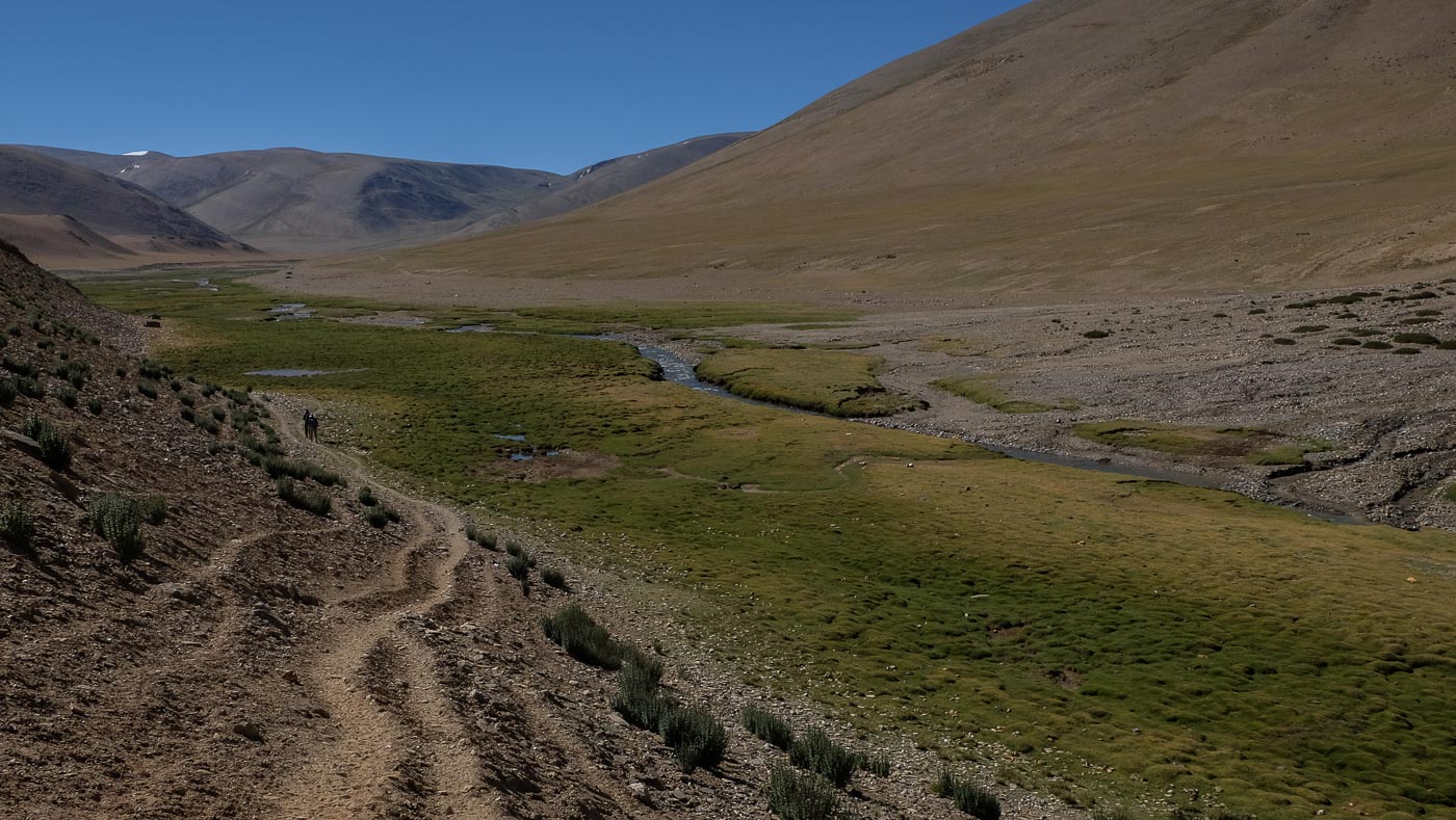
A transitional stage, flat on the whole, which simply skirts around the Tso Kar and then begins to descend into the opposite valley to the village of Nuruchan, at the foot of the 1st pass. If we had to do it again, it would be preferable to pass the small pass to camp on the other side in excellent conditions. Arriving early at camp, we take the opportunity to have a little 5200 and get some height. Exceptional view of the road we've travelled and the Tso Kar in the distance.
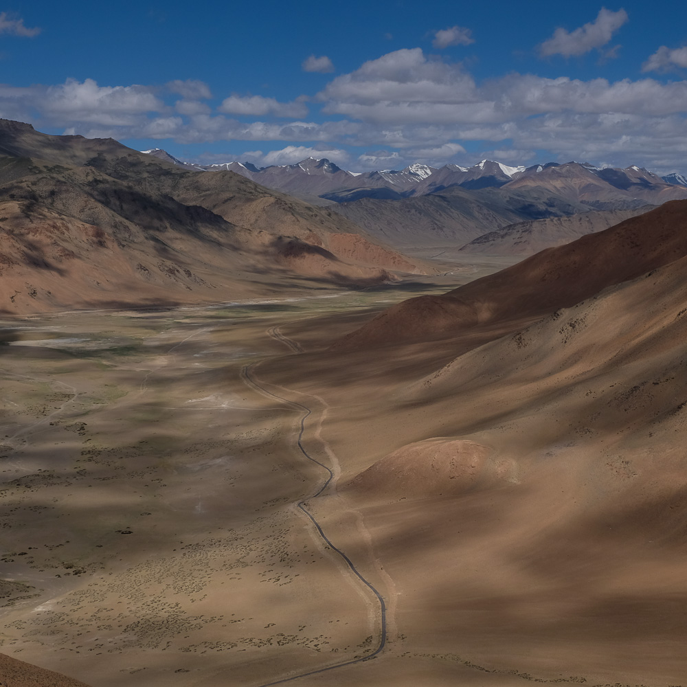
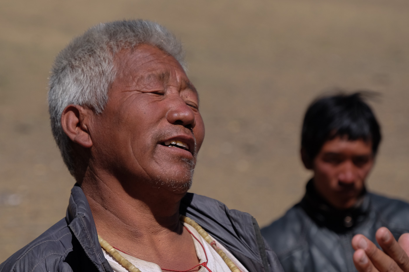
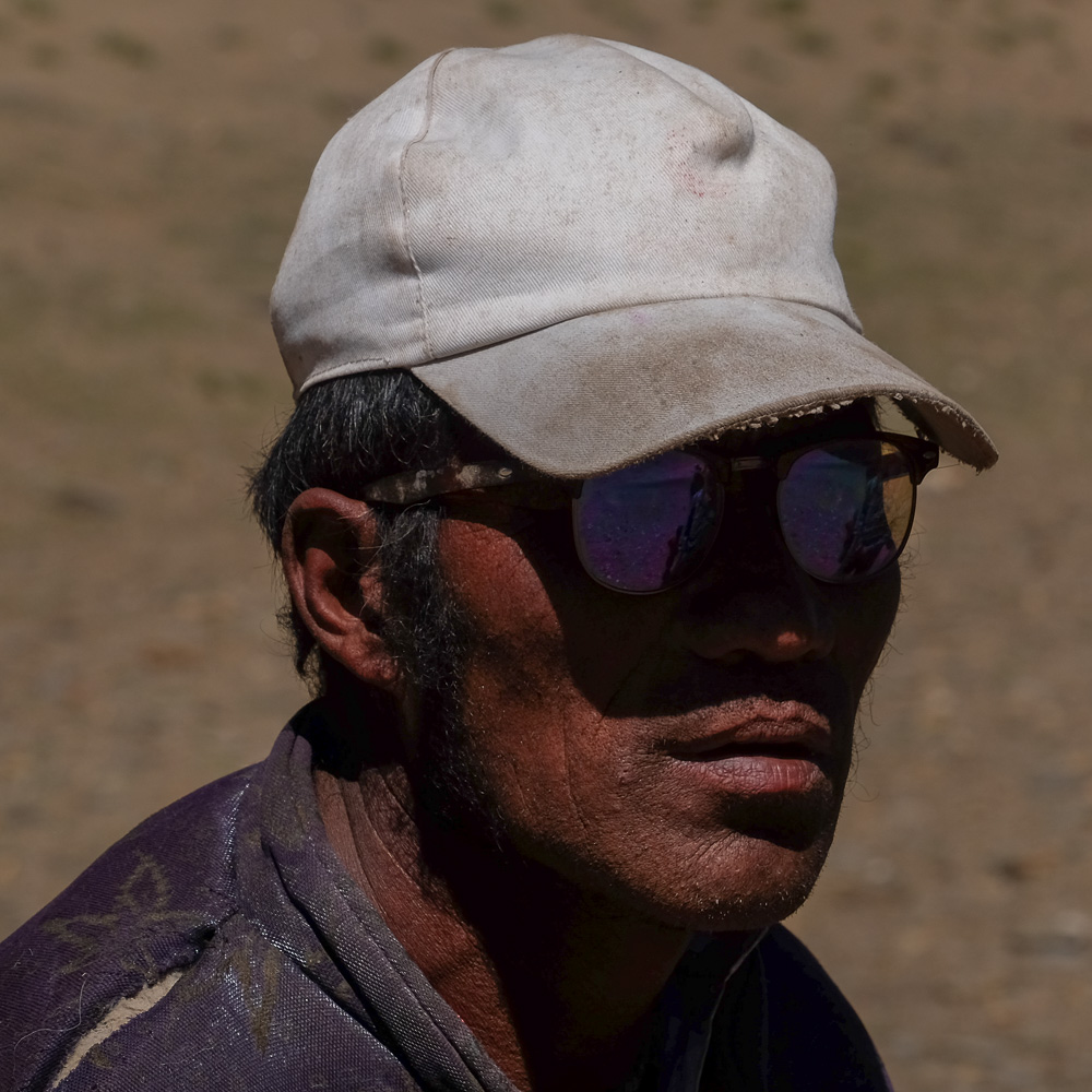
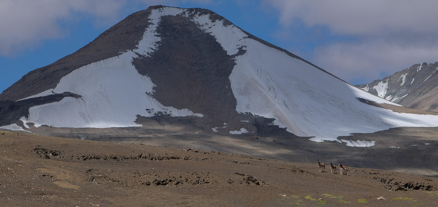
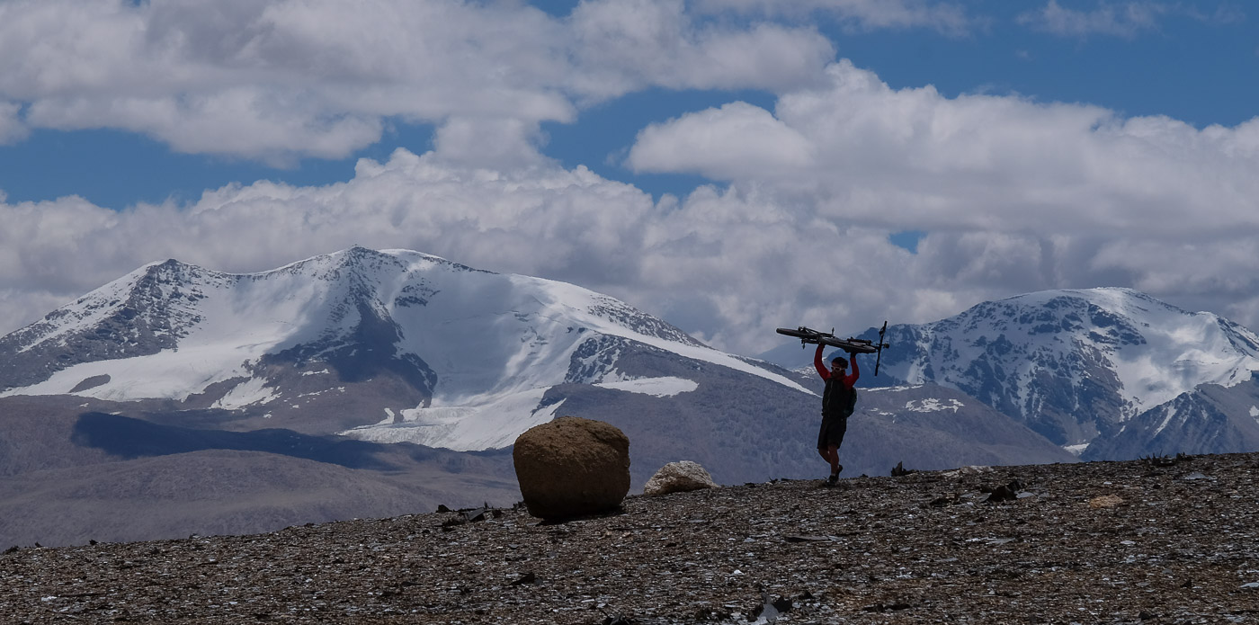
Big day, 8h of walking and between 5000 and 5400m of ascent. The 1st pass is gentle and gradual. We emerge into an enchanted valley where a magnificent torrent flows through greenery. Further up, you come across nomads, including a vintage replica of Samuel Jackson. The 2nd pass is long, with an absolutely exhausting finale. Behind, a new infinite valley and splendid snowy vistas. Finally, the 3rd pass, a shoulder to cross, is the hardest of the day, and we finish by counting the steps between each stop to catch our breath... The camp is even further away, at 5195m, at the foot of the last pass of the following day.
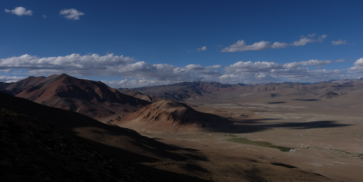
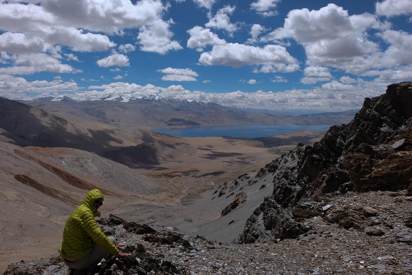
The ascent of this last pass is actually quite easy, very gradual, and we emerge with an aerial view of the Tso Moriri as we climb the domes overlooking the valley at some 5520m. At around 6500m, the Mentoks I and II ranges are covered in snow, and you can see almost the entire blue surface, some 40km in length. After descending 1,000m, crossing a band of kiwis on bikes and crossing another endless plain, we finally reach the final pass: the village of Karzok.
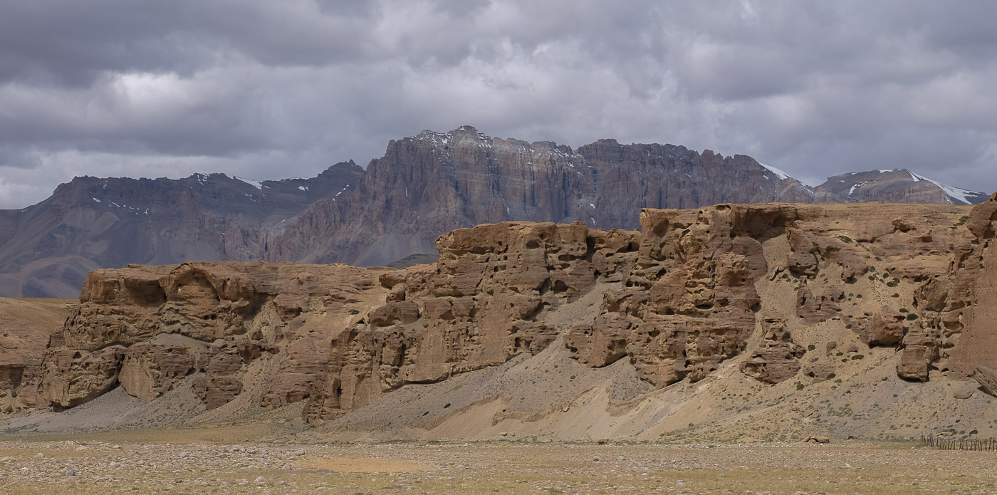
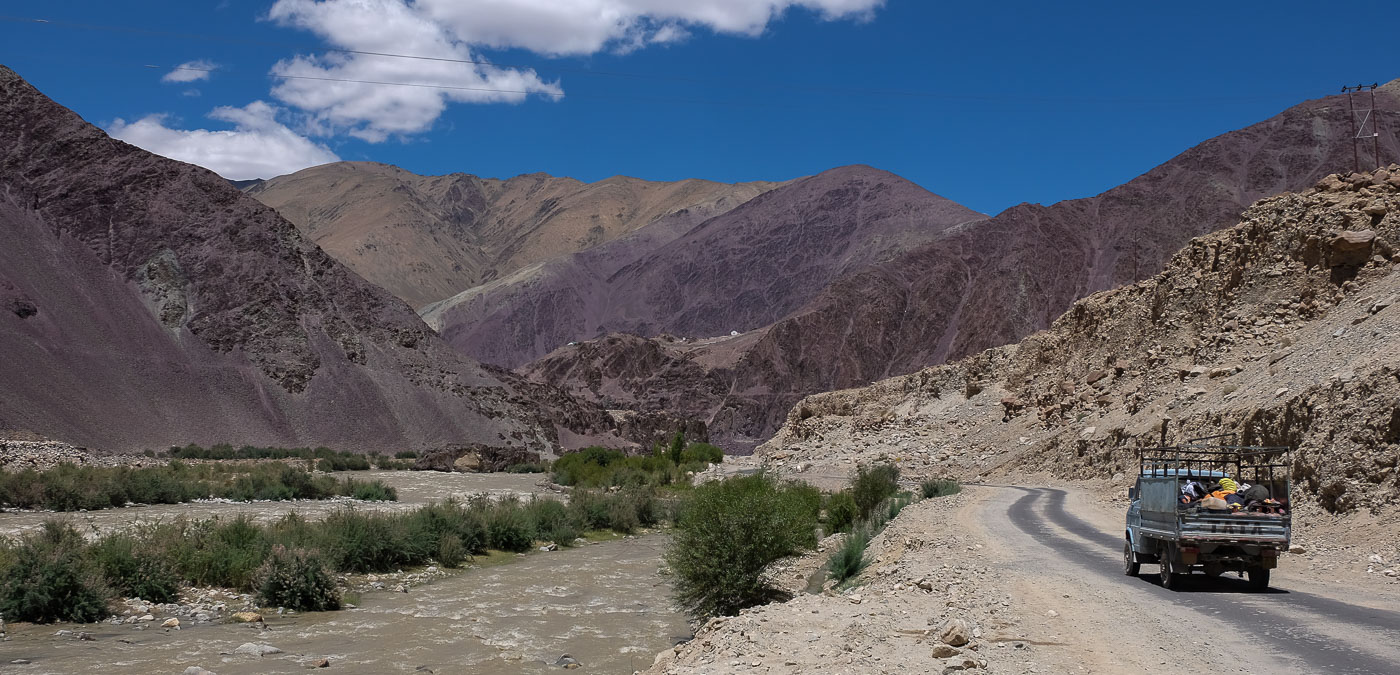
After a day's exploration around the lake, magnificent views of the reflective surface of the translucent but too-cold waters of the Tso Moriri, the return by jeep is quite epic. 6 hours of more or less rough road and the descent of the Indus river valley, a festival of colored rocks, we find Leh and the cow floor of Ladakh.


Leave a Reply