


TOPO Hiking | CLIMBING7.COM
Publié le
 Partager sur WhatsApp
 Partager sur Twitter
Partager sur Instagram
Partager sur Twitter
Partager sur Instagram

 Partager sur Facebook
 Imprimer le topo
 Laisser un commentaire

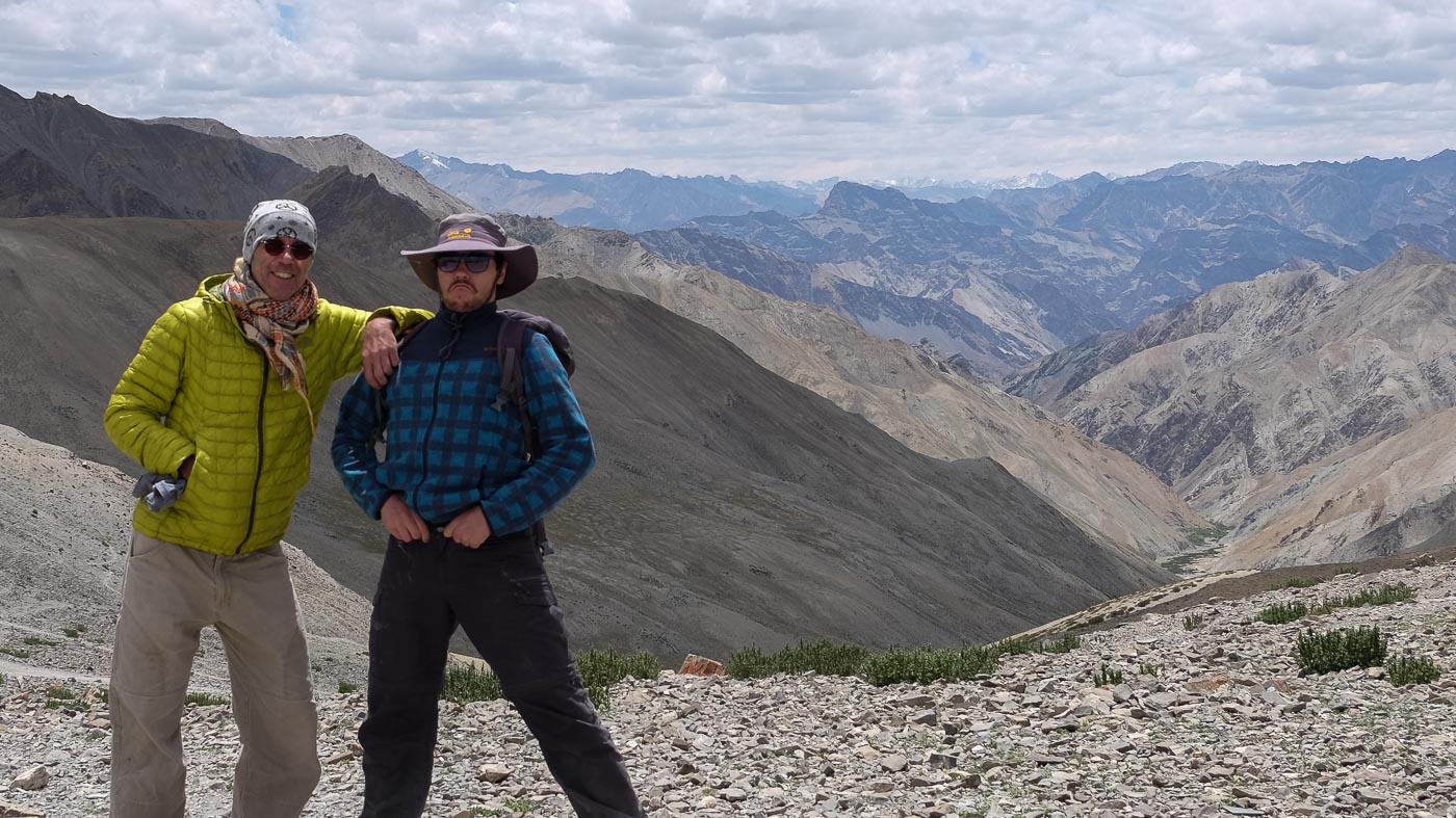
An incredible journey between Ladakh and Zanskar, starting in Zinchan and taking in part of the Markha Valley before branching off at the foot of Kangyatze (6401m), crossing the fabulous Zalung Karpo La pass (5196m) before reaching Tsokra and Dat. These 8 days of trekking will be unforgettable! Breathtaking scenery, wide-open wilderness as far as the eye can see, surprising encounters - there's really nothing to throw away. Although the itinerary is fairly straightforward and the trails technically straightforward, the trek remains difficult due to the very high altitude, with several passes at 5000m. 4 to 5 days of acclimatization in Leh (3500m) are absolutely necessary to tackle the week with serenity and avoid the discomfort of altitude sickness. An avalanche of photos, of course, even if they can never capture the immensity and beauty of the Himalayas. After a short jeep transfer from Dat to the Tso Kar salt lake, we'd set off again for a few days on a 2nd route to the fantastic Tso Moriri lake.
❱❱ Technical summary
Type ✦ High-altitude hiking
Location ✦ Leh
Region ✦ Ladakh
Country ✦ India
Difficulty ✦ D
Max altitude ✦ 5190m
Duration ✦ 8 days
Interest ✦ ★★★
❱❱ Access to the place
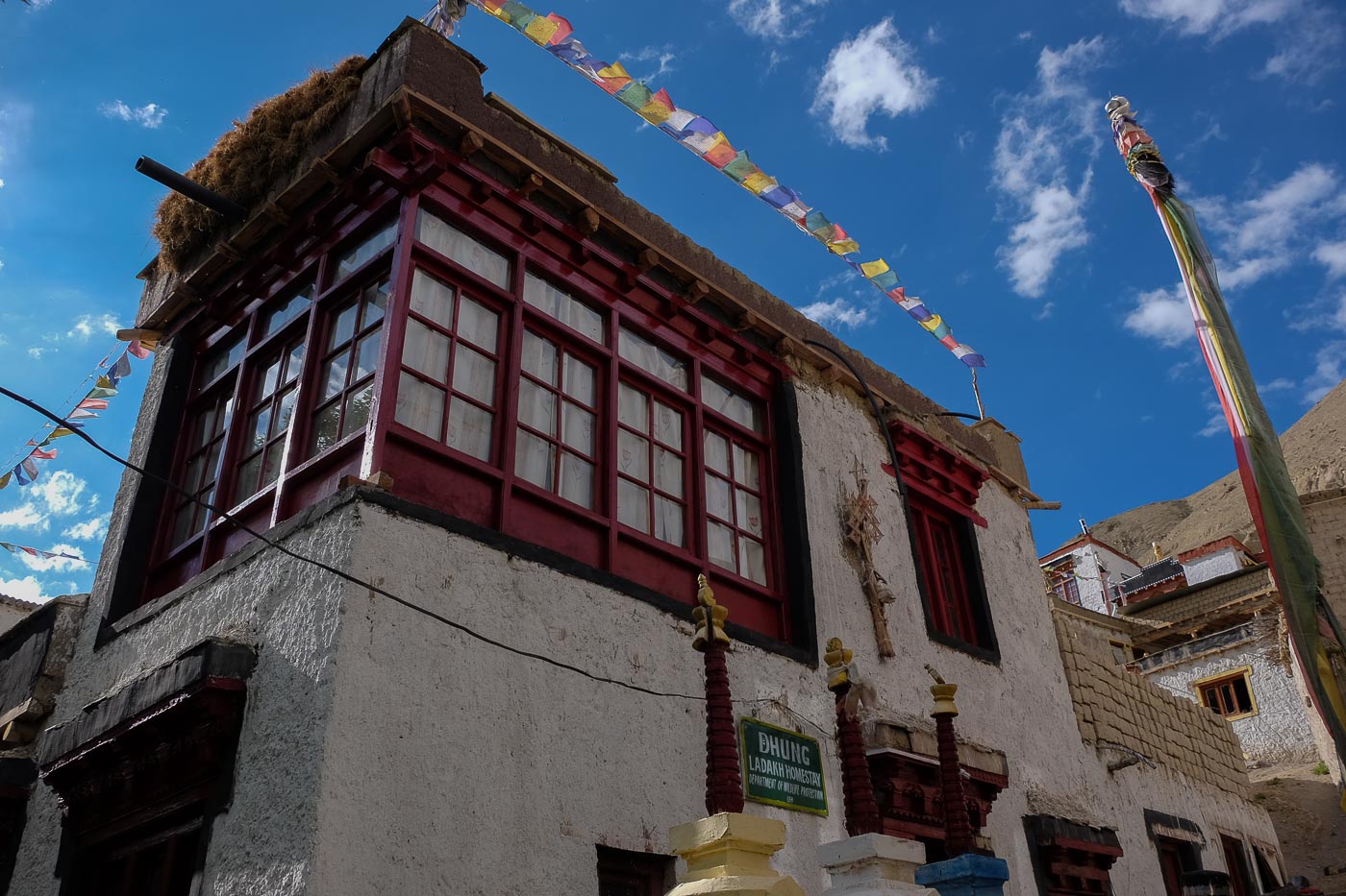
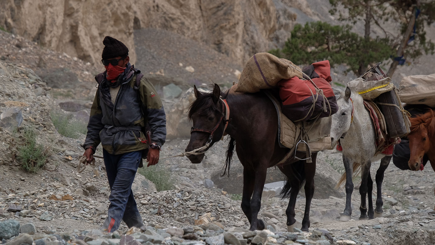
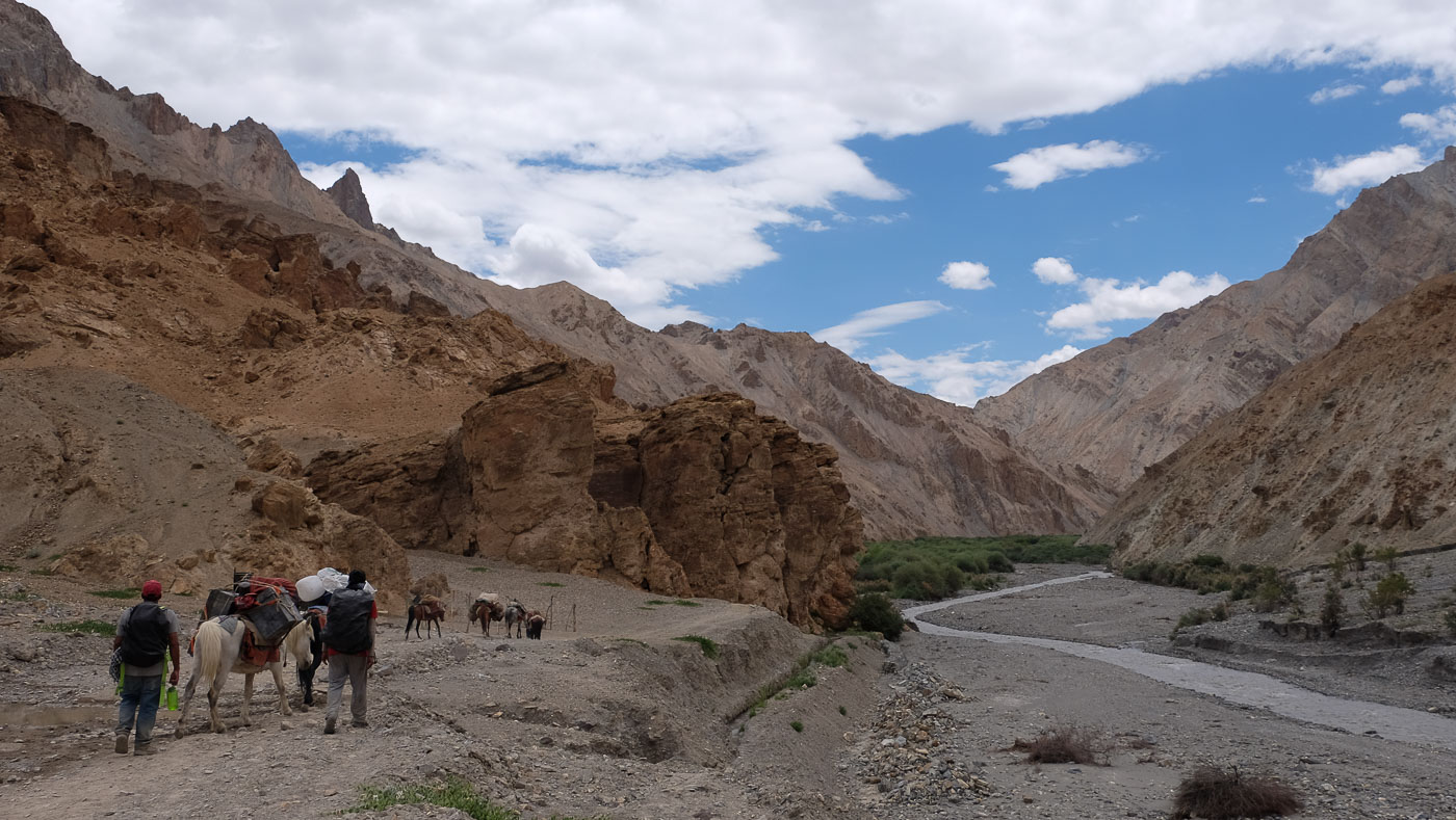
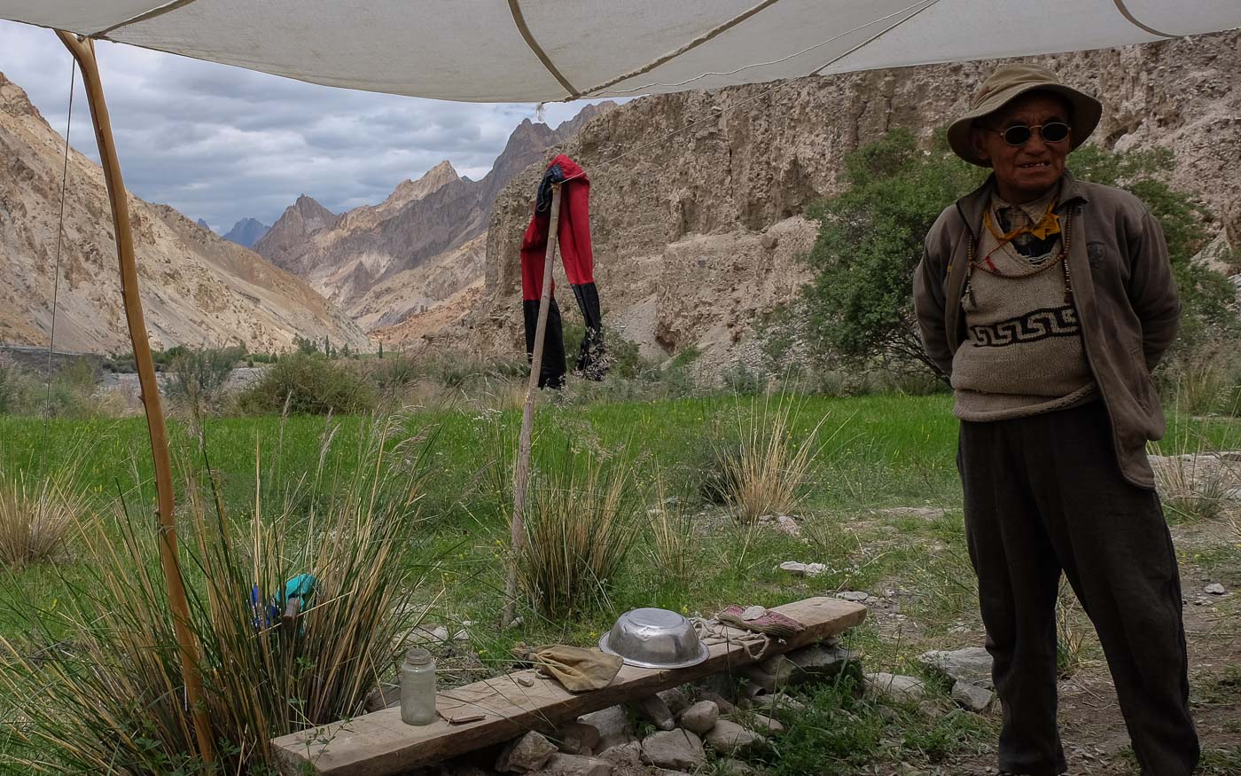
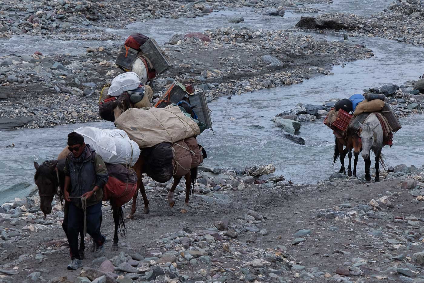
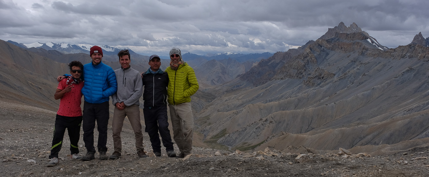
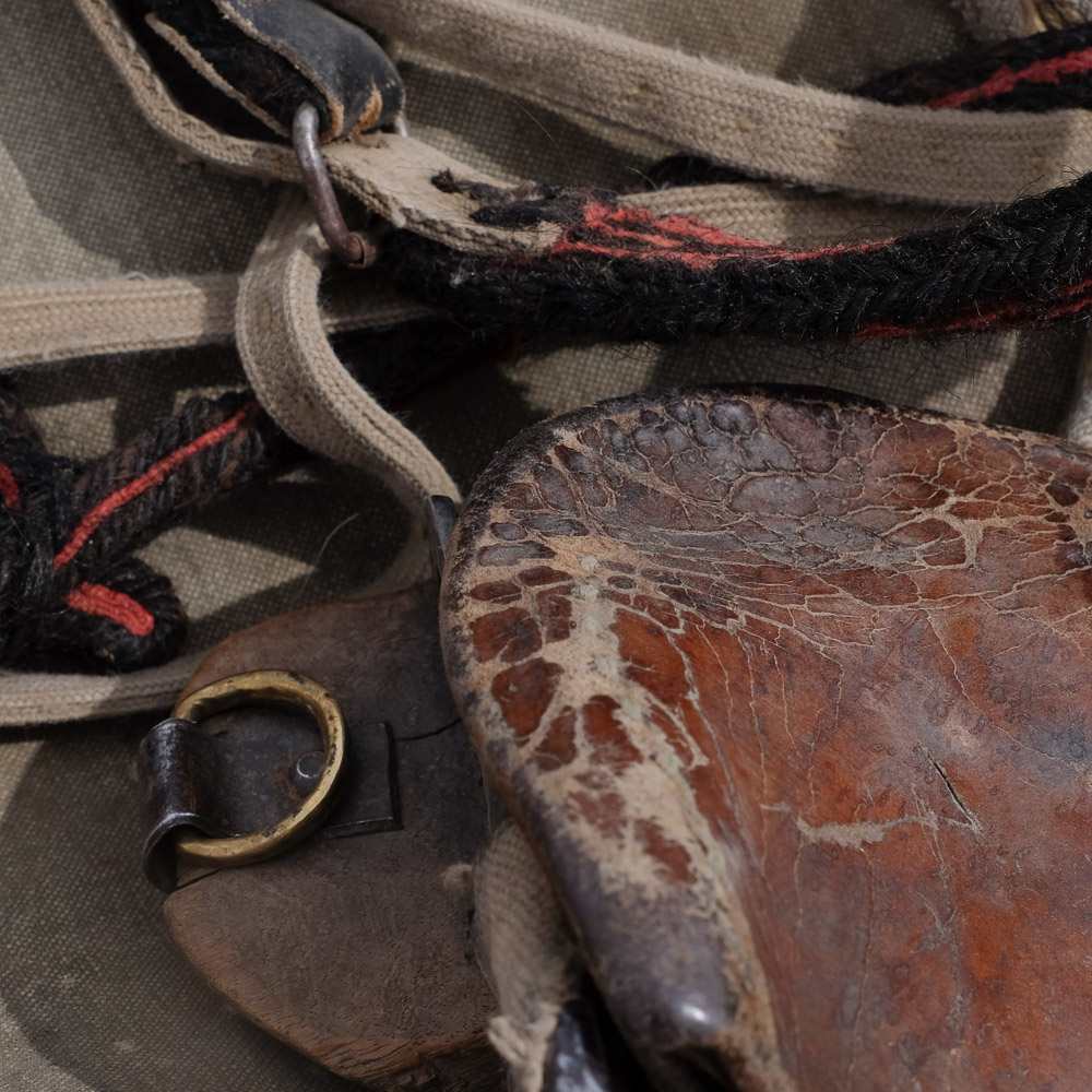
From Leh, a jeep takes us and Thile, our Nepalese guide, along the Indus River to Zinchan, the end of the road and starting point of the trek. Here our horseman and his 7 horses join us, along with the cooker and other team members.
❱❱ Map & topo

❱❱ Itinéraire
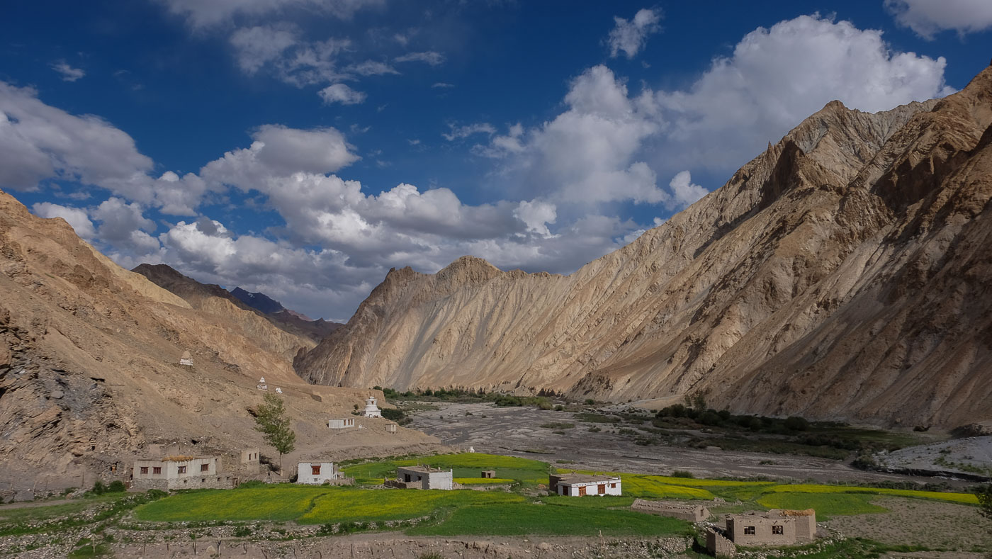
A gentle, acclimatizing start up a narrow valley to our 1st bivouac a little below the splendid village of Rumback. 1st images of mountain, traditional village against a backdrop of purple and yellow rock, cultivated terraces and a welcome for our 1st teas of the trip.
Big stage with the 1st pass at 5000m. Climb up a beautiful valley that gives access to snow-capped peaks before reaching Siku, the last village before the Ganda La base camp (4300m). The last 200 m are tough, with stops every 25 m, but the view from the pass is breathtaking! Then a leisurely descent to Shingo, our 2nd bivouac.
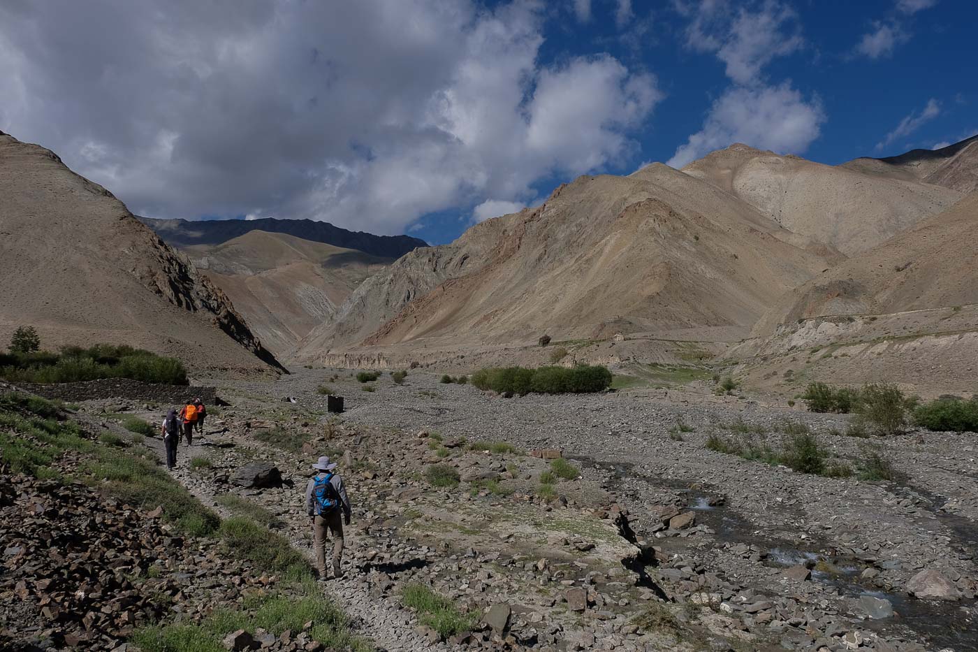
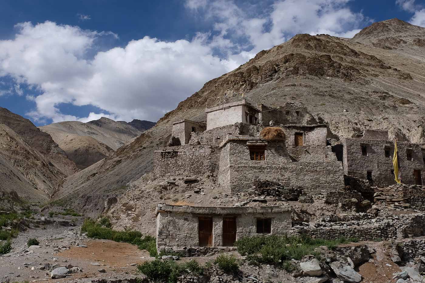
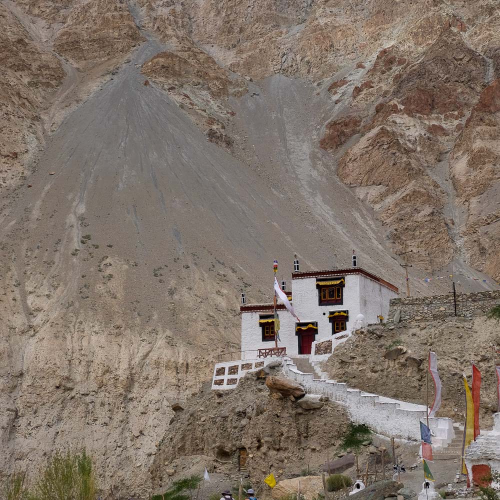
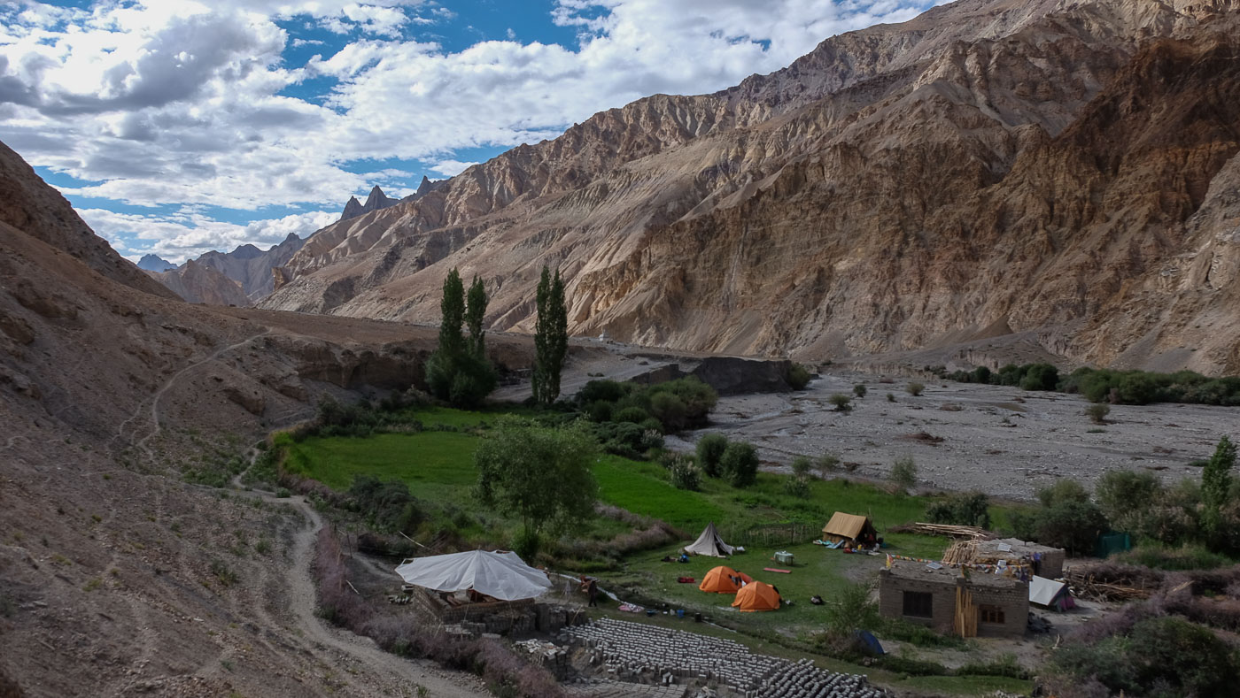
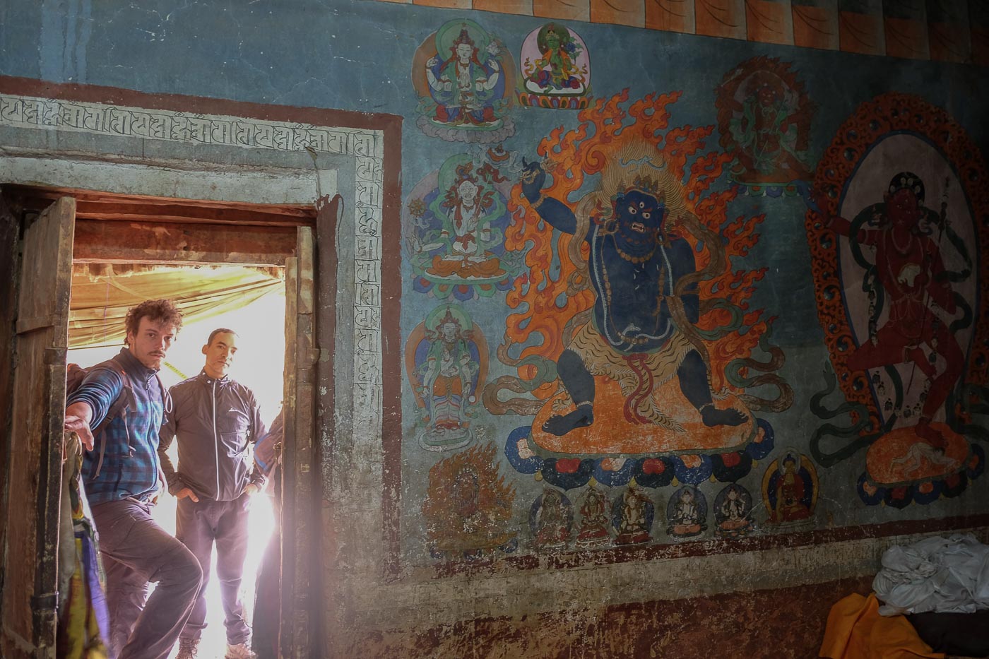
A more rolling but fairly long stage. The descent from Shingo eventually takes us to Skiu, where we join the wider Markha Valley. After a break and a visit to the monastery, we set off on the long road to Markha. Further on, at Pantse, during a lunch break, we meet the man with the golden mounts, who prepares us a welcome cup of tea. What follows is sumptuous, a wide open valley marked by immense sculpted cliffs. We follow the stream and finally stop in the garden of the Nangding Homestay. Quick shower in 10° water, because it's really necessary...
A pleasant stage, still following the wonderful valley. The busy river accompanies us. No difficulty, just a few short climbs to get around the impassable water, and we arrive at the foot of the village of Markha. From the top, the views of the green terraces and the surrounding valleys are breathtaking.
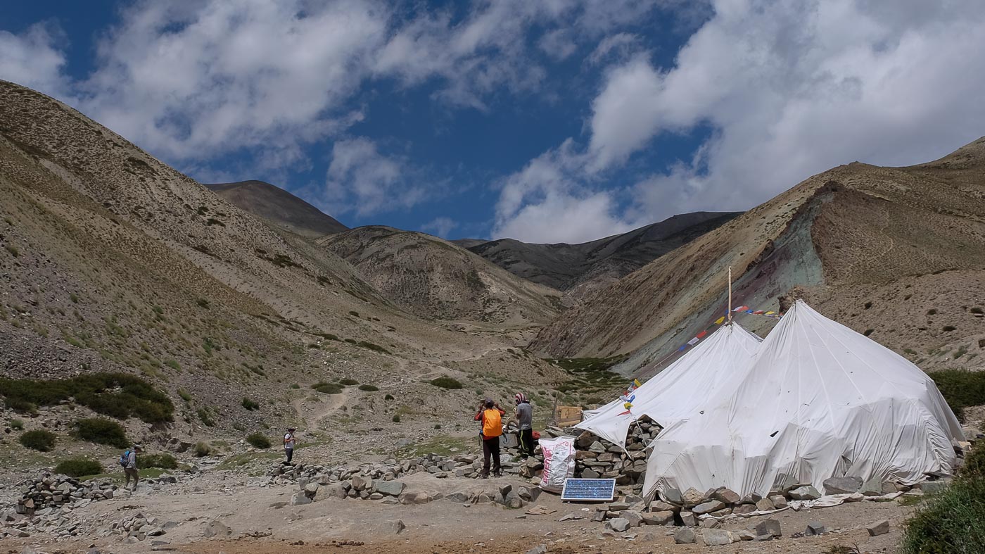
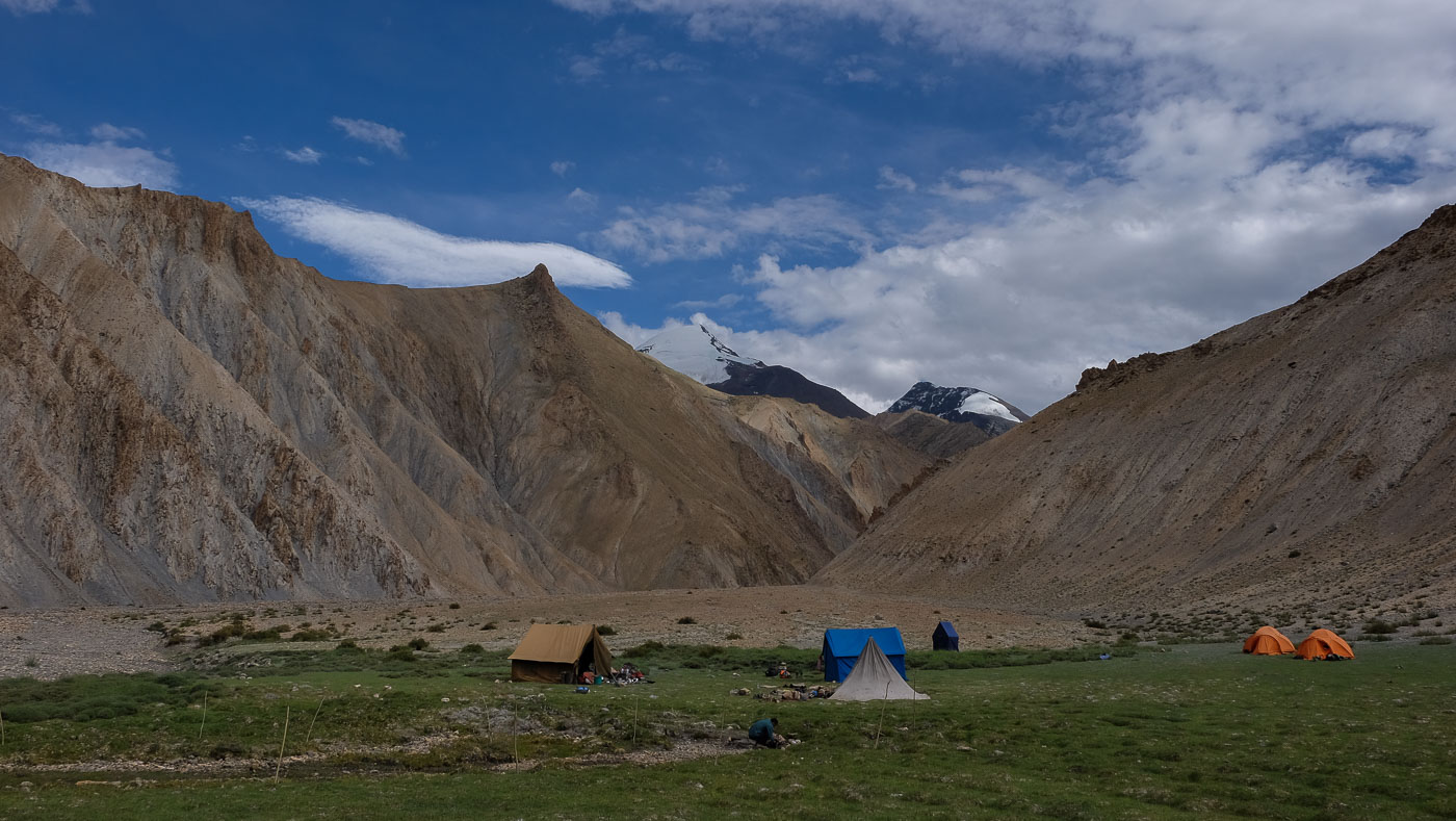
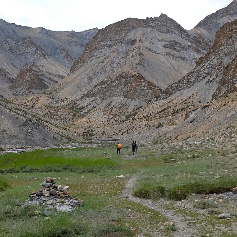
We continue up the valley, this time with a few chilly river crossings. We catch our 1st glimpse of the summit of Kangyatze (6401m). Lunch in the village of Hangkar, before continuing a little further and this time branching off to leave the Markha Valley and head for our next objective: the Zalung Karpo La. We gain altitude and today's bivouac is on a beautiful lawn, with a view of the snow-covered slopes of Kangyatze.
A grey day, with the sun no longer shining. The climb up the valleys is fairly gentle, and we come across the torrent several times, with the water still frozen! It gradually closes in and we reach our evening camp, under the pass on the next day's program.
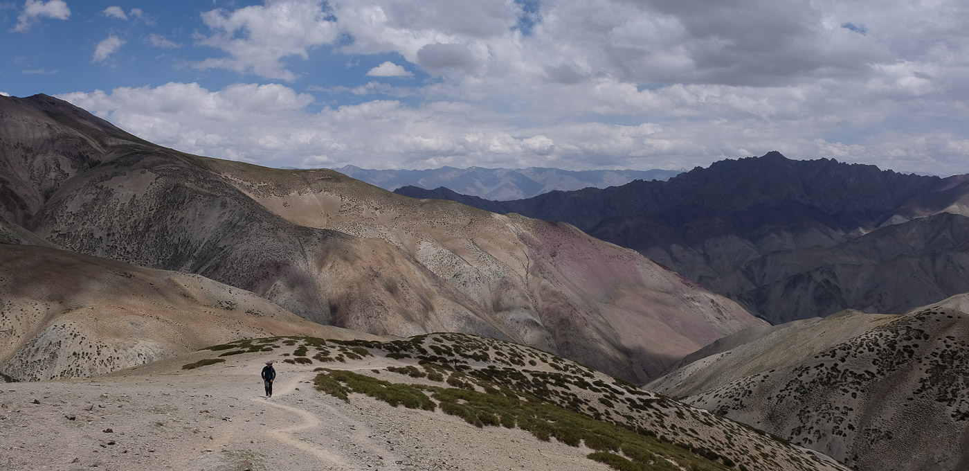
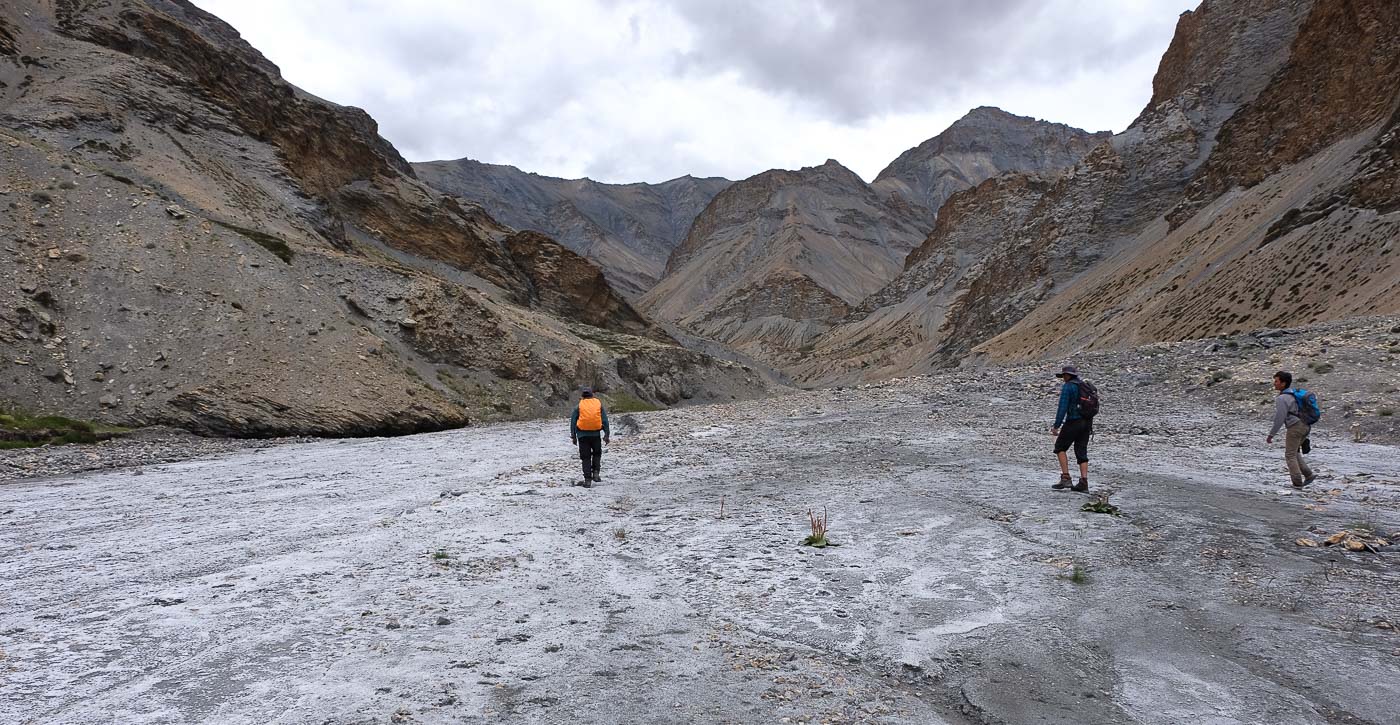
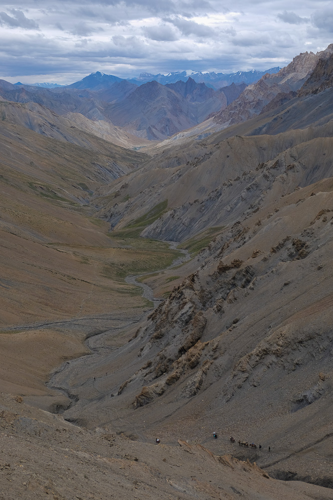
The climb is fairly gradual. The effort, always sustained by altitude, is easier than on our 1st pass at 5000m. The final stretch is arid and desolate, the Kagyatze at our back is overcast, but the arrival at the pass offers an absolutely incredible panoramic view. We're literally in middle-earth and wouldn't be surprised to see the shadow of the nasgules passing over our heads. Sculpted cliffs, a myriad of tones and shades, and below us the immense valley that leads to Zanskar. The descent is quite vertiginous, and we reach the Yakrupal bivouac area much further down.
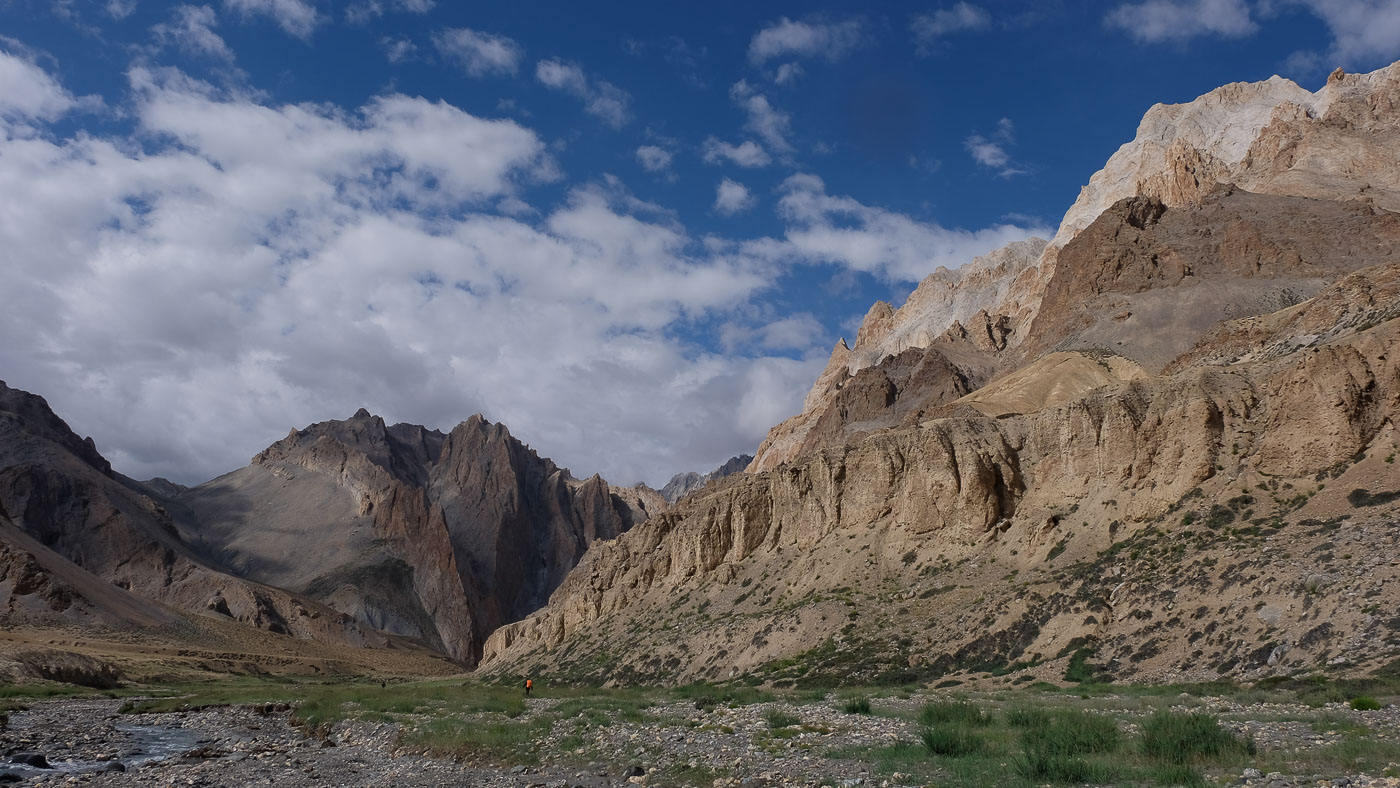
It's a quieter descent in a setting that's as fabulous as ever, with ochre, brown, beige and black cliffs rolling by under the returning sun. Further down, we enter an incredible narrow gorge, river crossing and lush green flowerbed. At the exit, a new valley to the left, then a second defile before crossing an interminable but splendid valley, more open and criss-crossed by meandering torrents. Finally, we reach the village of Dat, the end of the trail. Tomorrow, a jeep transfer will take us to the banks of the Tso Kar for a day's rest before tackling the Tso Moriri trek.


Leave a Reply