

TOPO Canyoning | CLIMBING7.COM
Publié le

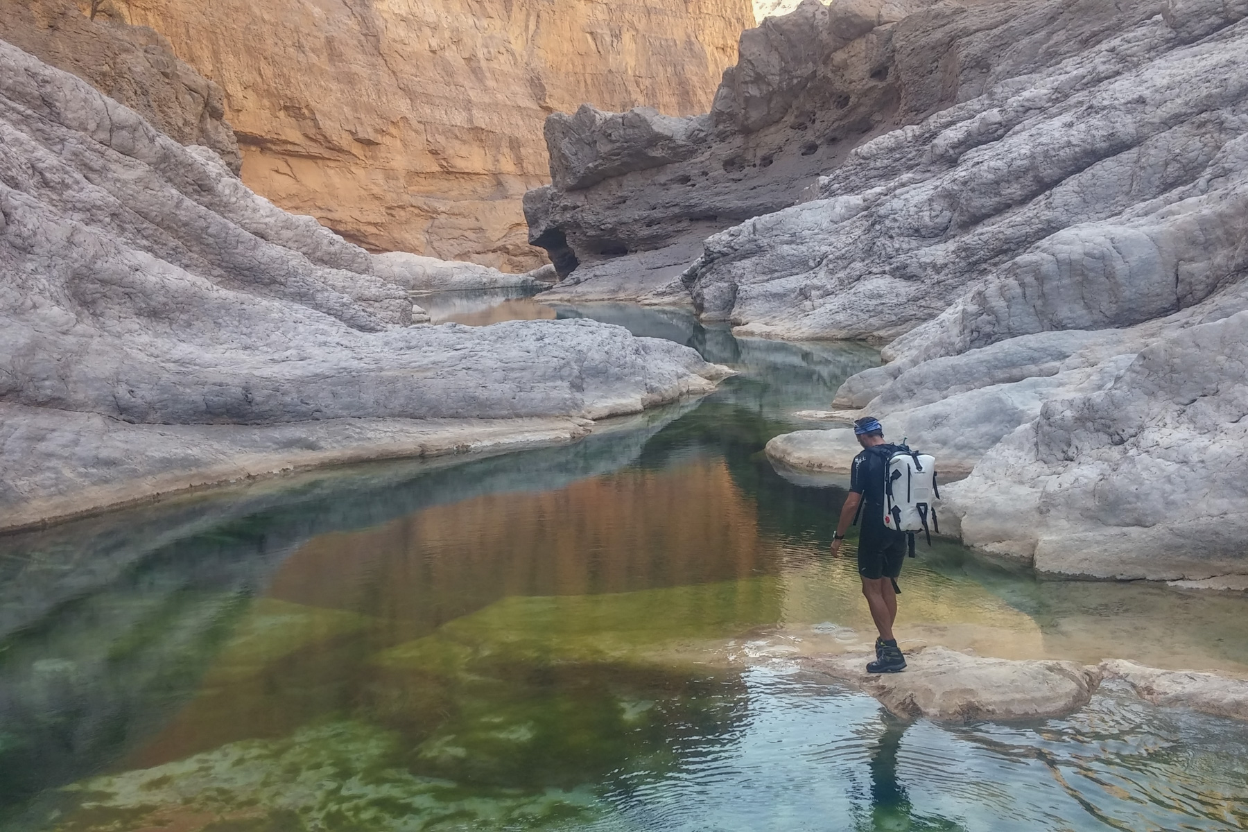
The village of Bani Khalid is perched in the mountains on Oman's northern inland road from Nizwa to Sur. Above the village, the Wadi Bani Khalid descends from the mountains, exactly opposite the Wadi Tiwi on the sea side, and offers a number of pretty pools that are well frequented because they are so accessible. A little further on, you'll find the Muqal cave, a long vein that runs deep into the rock, where you can feel the warm water coming out of the depths. On the lower slope of the wadi is the canyon section to descend. Starting from the magnificent little village of Bad'ah, which emerges from the palm grove, the aquatic canyon follows a fairly long rocky corridor with numerous reaches to swim in, and a deep central section reminiscent of Tiwi in miniature.
❱❱ Technical summary
Type ✦ Water canyon
Location ✦ Bani Khalid, Bada'ah
Region ✦ Charquiya, Eastern Hajar
Country ✦ Oman
Difficulty ✦ v1-a3-III
Max recall ✦ None
Duration ✦ 2h30 to 4h
Interest ✦ ★
❱❱ Access to the place
From Route 23 linking Sur to Muscat via Ibra, turn off at the junction towards Bani Khalid (signposted) and climb up to the village. On arrival, the left-hand road leads to the swimming pools and winery. Continue straight ahead and, as you cross the wadi, take the road on the right towards Halfah. Continue for 1 or 2 kilometers to finally reach the end of the valley and the splendid village of Bada'ah (spelling uncertain). Park at the village entrance.
❱❱ Map & topo
❱❱ Itinéraire
Go straight down the wadi bed below the village to the right-hand bend that marks the entrance to the canyon.
West-facing overall, the canyon catches the afternoon sun. No equipment in place, and no gear to bring except a wetsuit in cold weather. The route is obvious, but you have to look for passages to the left or right to avoid boulders and chaos.
Climb up the right-hand slope to join a path leading to the falaj, where you can walk upwards to reach the village of Batan. A long palm grove begins here, after a final large pool. Weave your way along the edge of the falaj and then through the village to reach the asphalt road (where you can leave your second vehicle). Follow the asphalt to route 23, turn right towards Muscat and then turn off towards Bani Khalid.
Leave a Reply