


TOPO Hiking | CLIMBING7.COM
Publié le
 Partager sur WhatsApp
 Partager sur Twitter
Partager sur Instagram
Partager sur Twitter
Partager sur Instagram

 Partager sur Facebook
 Imprimer le topo
 Laisser un commentaire

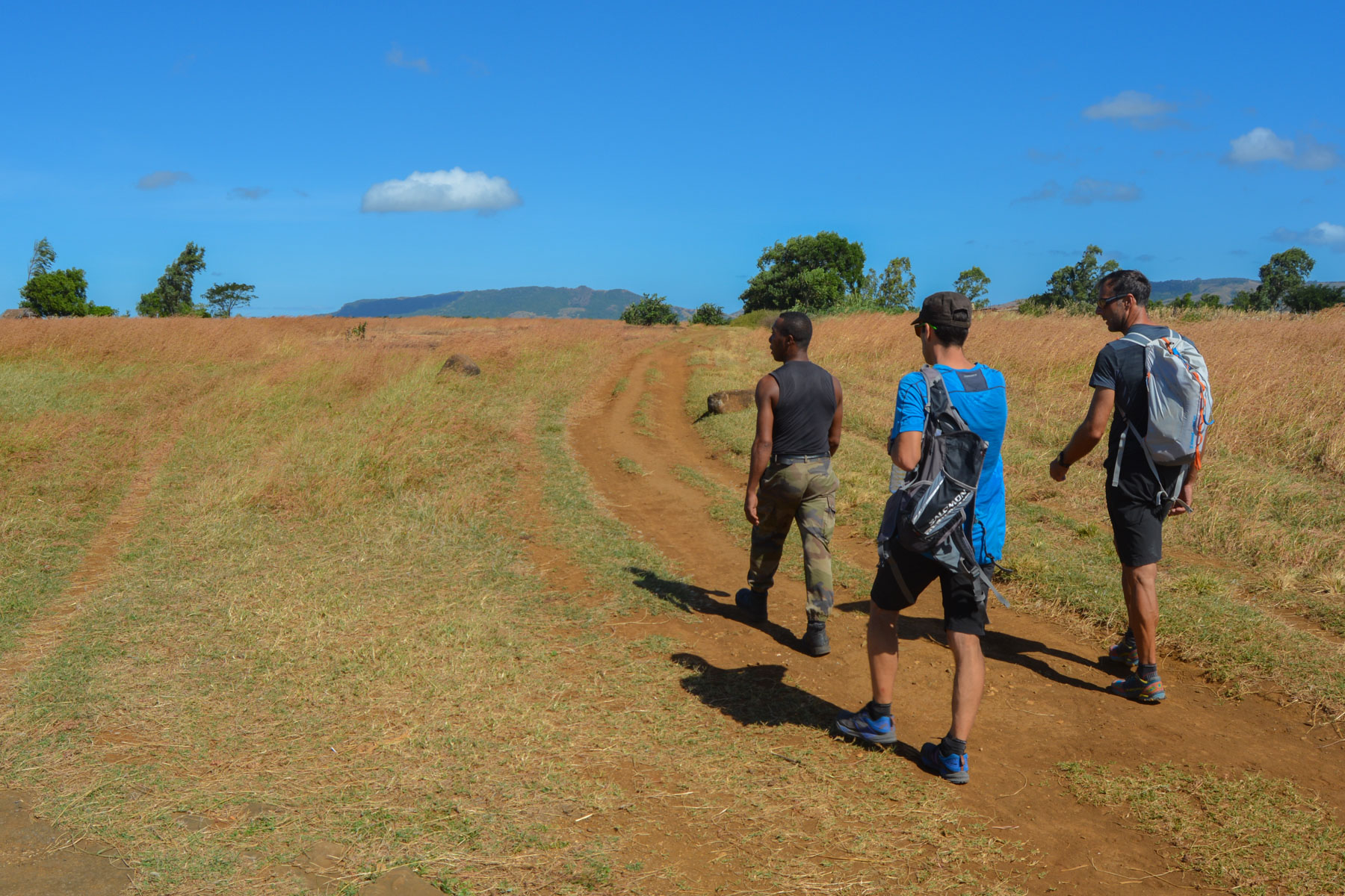
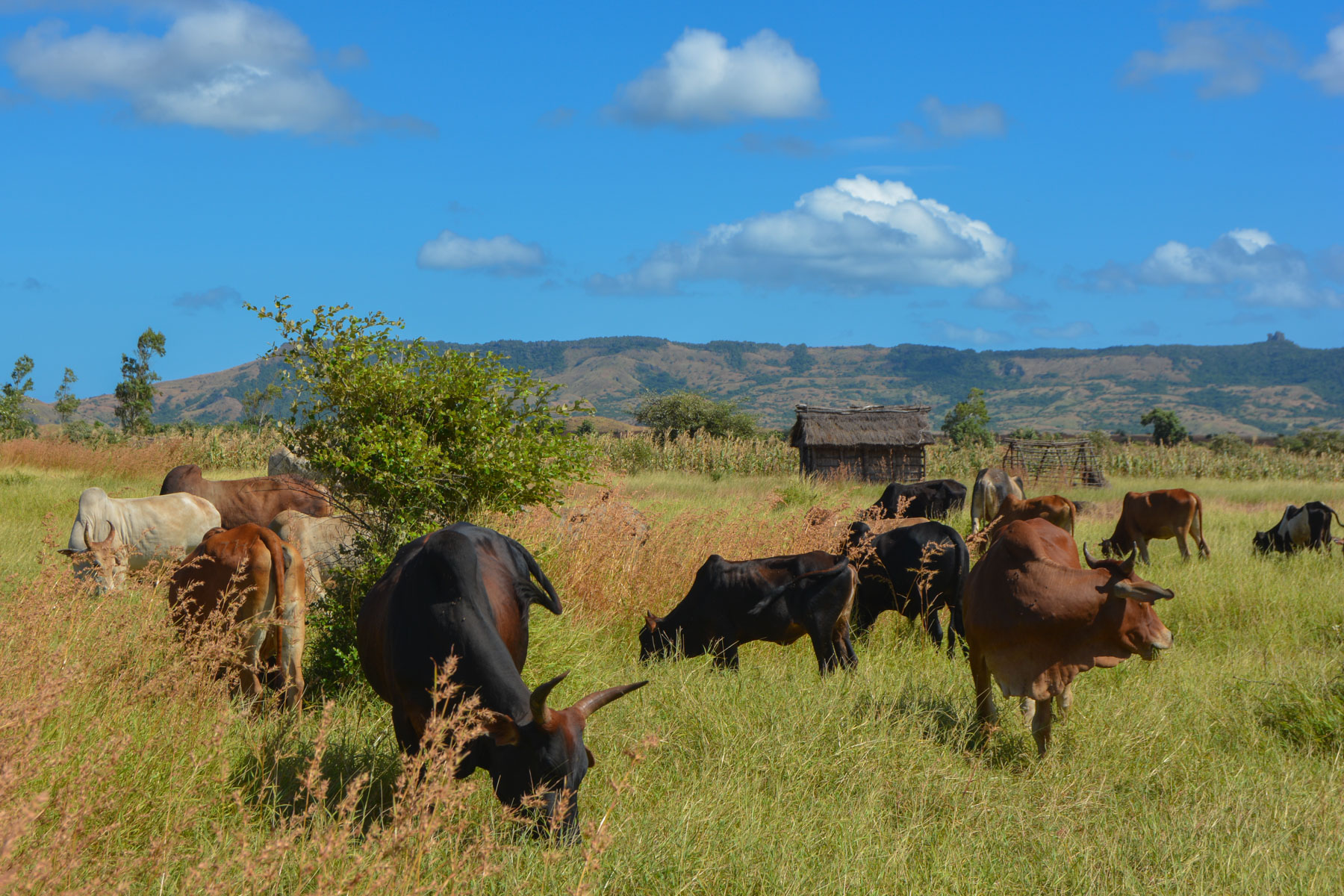
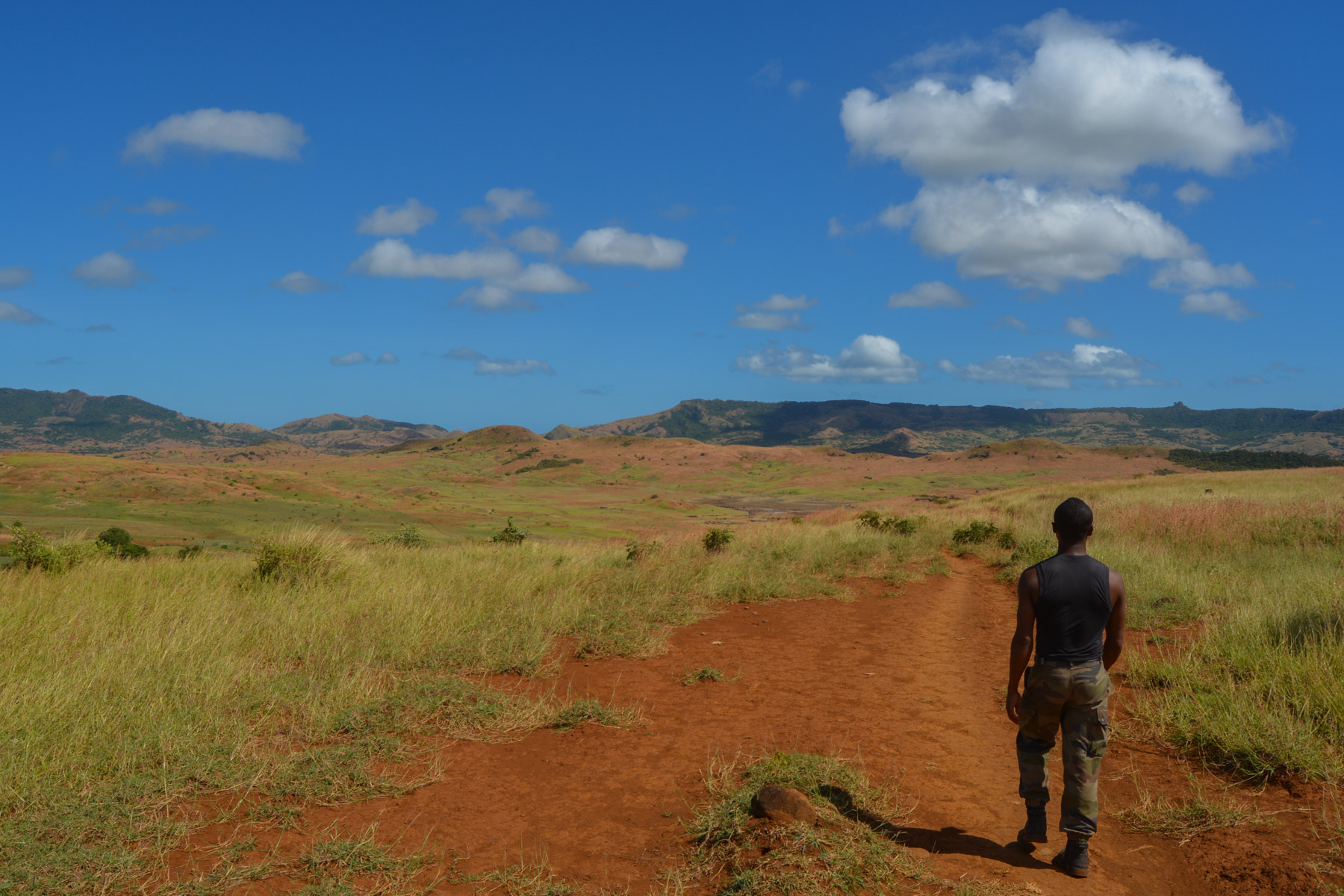
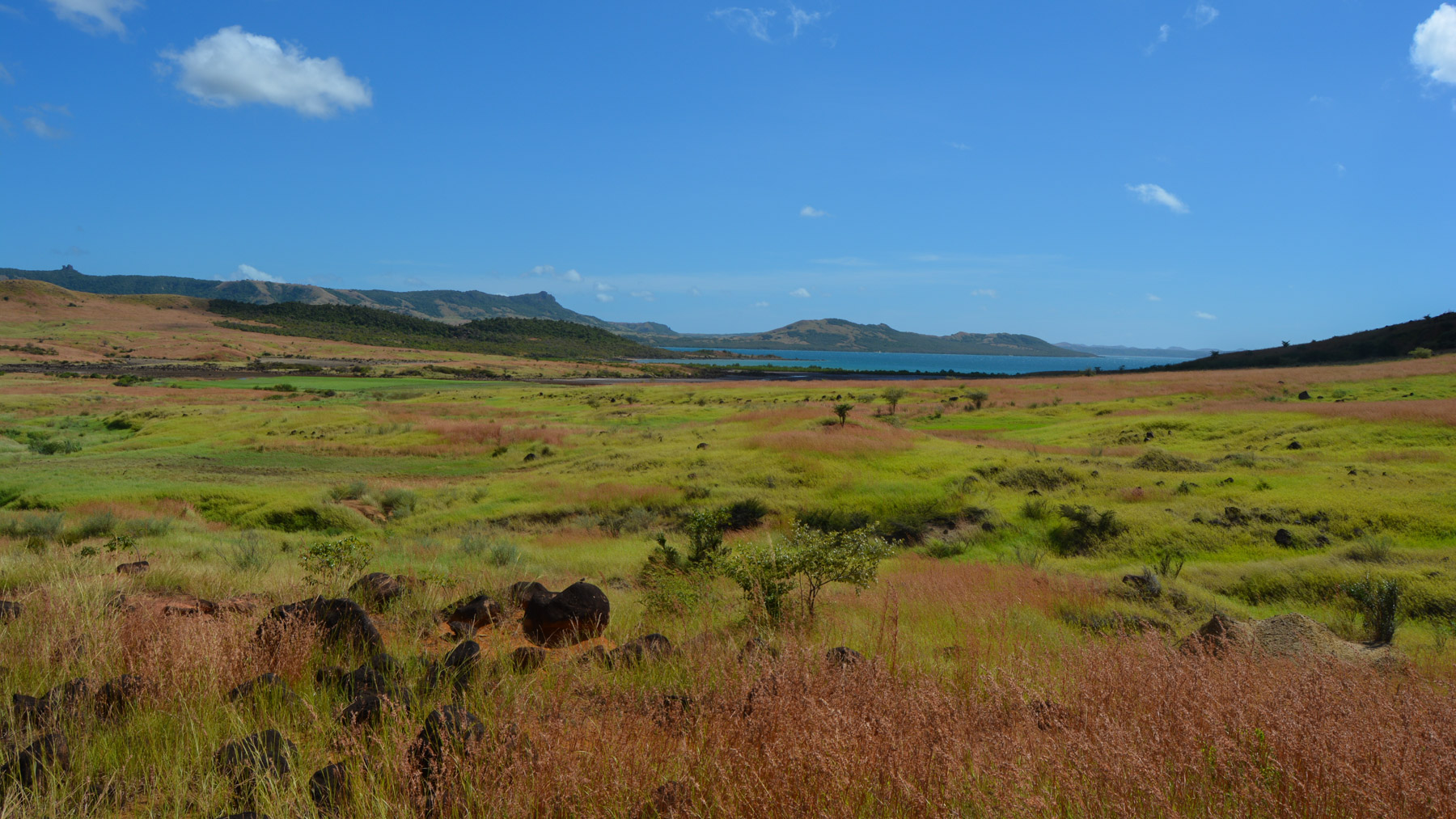
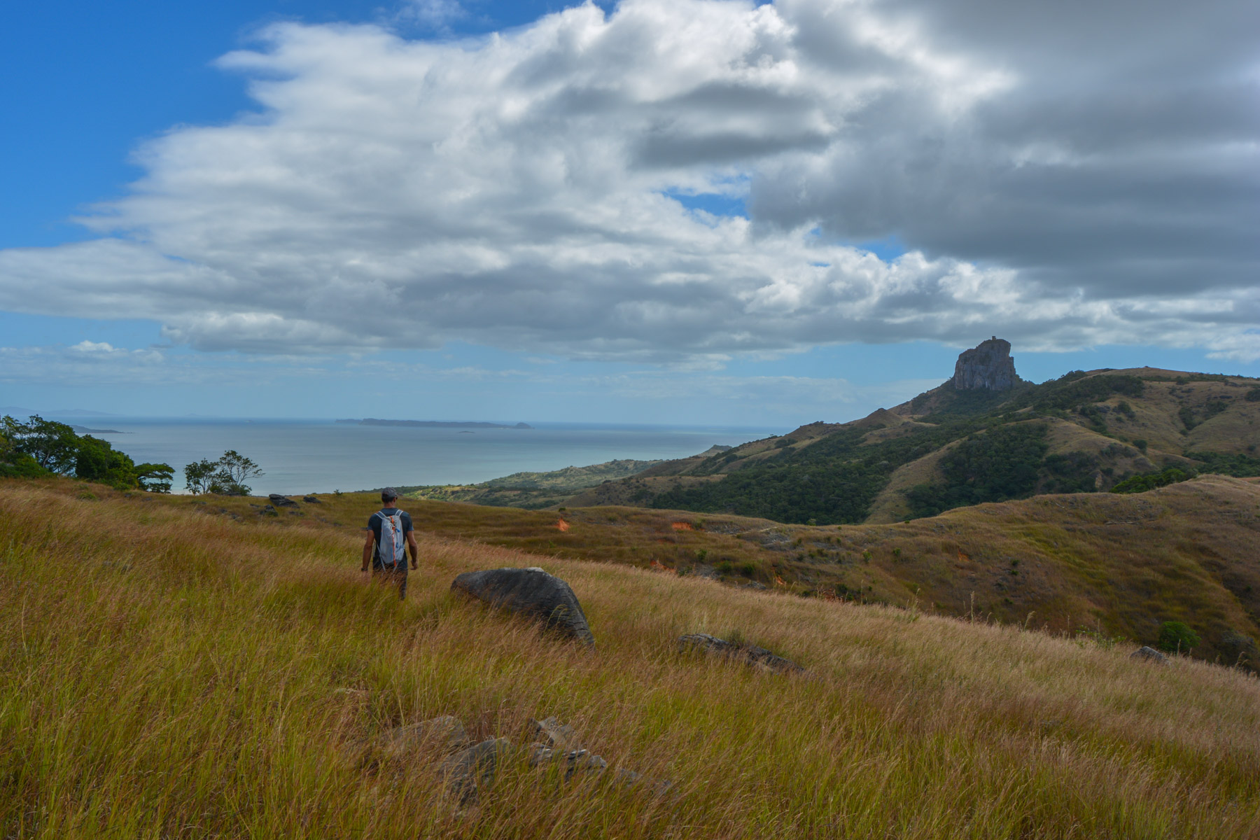
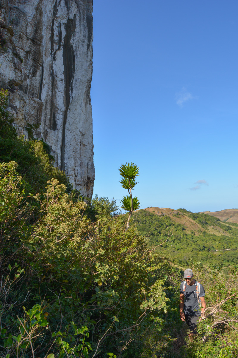
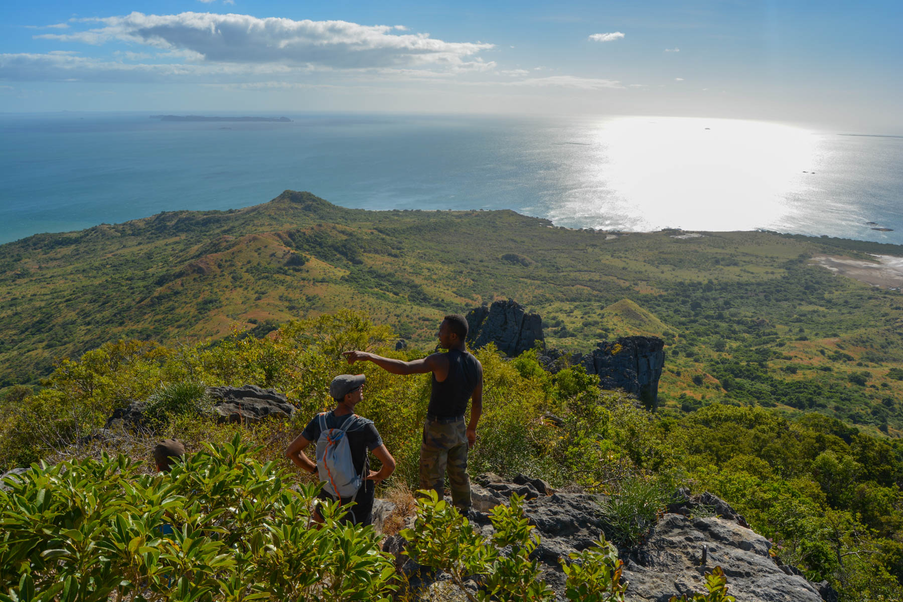
A totally improvised itinerary from Cap Diego, in the bay of Antsiranana, via the ridges to the ruins of Windsor Castle, between the Baie du Courrier and the Baie des Cailloux Blancs, perched on a rocky outcrop overlooking the Mozambique Channel at almost 400m above the waves. Savannah landscapes with tall grasses undulating under the gusts of the Varatraza, aerial views of the east coast of Cap d'Ambre, passage through wild forest from which emerge fantastic baobabs, a long course, probably improvable to make it shorter, but a great race to discover the enormous potential of this area of northern Madagascar.
❱❱ Technical summary
Type ✦ Bush hiking
Location ✦ Diego-Suarez
Region ✦ Diana
Country ✦ Madagascar
Length ✦ 20kms
Dénivelé ✦ 350m
Difficulty ✦ D
Duration ✦ 5h to 6h
Interest ✦ ★★
❱❱ Access to the place
Go to the small port of Diego, at the very end of the headland, to find a boat to cross over to Cap Diego.
❱❱ Map & topo
❱❱ Itinéraire
It's a boat ride across the arm of the bay that separates the port from Cap Diego, just opposite.
This trail over the ridges and through the savannah, which quickly dominates the whole of Diego Bay, is magnificent but too long for a round trip. We had to organize a return trip by 4×4 from the Windsor Castle track, as far as possible, to avoid having to walk for several kilometers at the end. For us, as the track was impassable on the last section, we had to add around 6 km of walking at the end of the route...
It's an obvious route, as you can clearly see what you have to do, but it's also a tricky one, as you have to negotiate the many depressions and forests along the way. Most of the time, especially in the 2nd part, there is no trail. A local guide is recommended, if necessary, to ask for directions en route and find trails when they exist.
Please note: all time and distance indications are approximate! To be confirmed or modified on a 2nd visit.
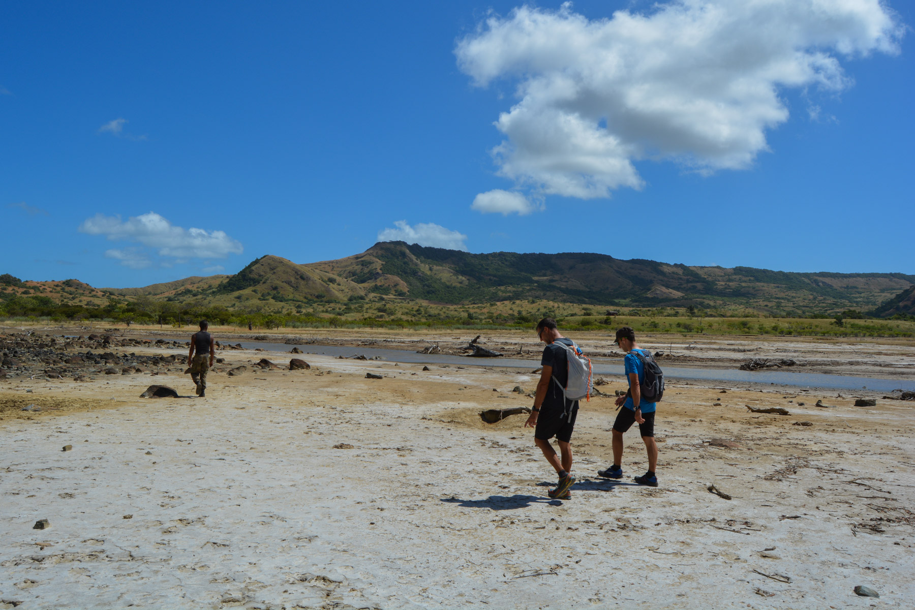
Climb up and out of the village to join a road of damaged asphalt that runs due east towards the 1st skyline, where you can see rocks standing out. We walk on for a while, it's all flat, before forking right into the savannah to cut across and find the same road further on, then leaving it again to cross at the level of a dried-up, saline (?) marsh. A village is reached on the other side.
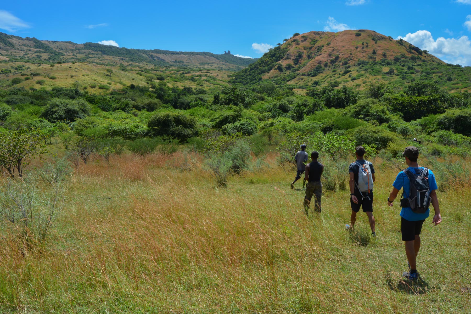
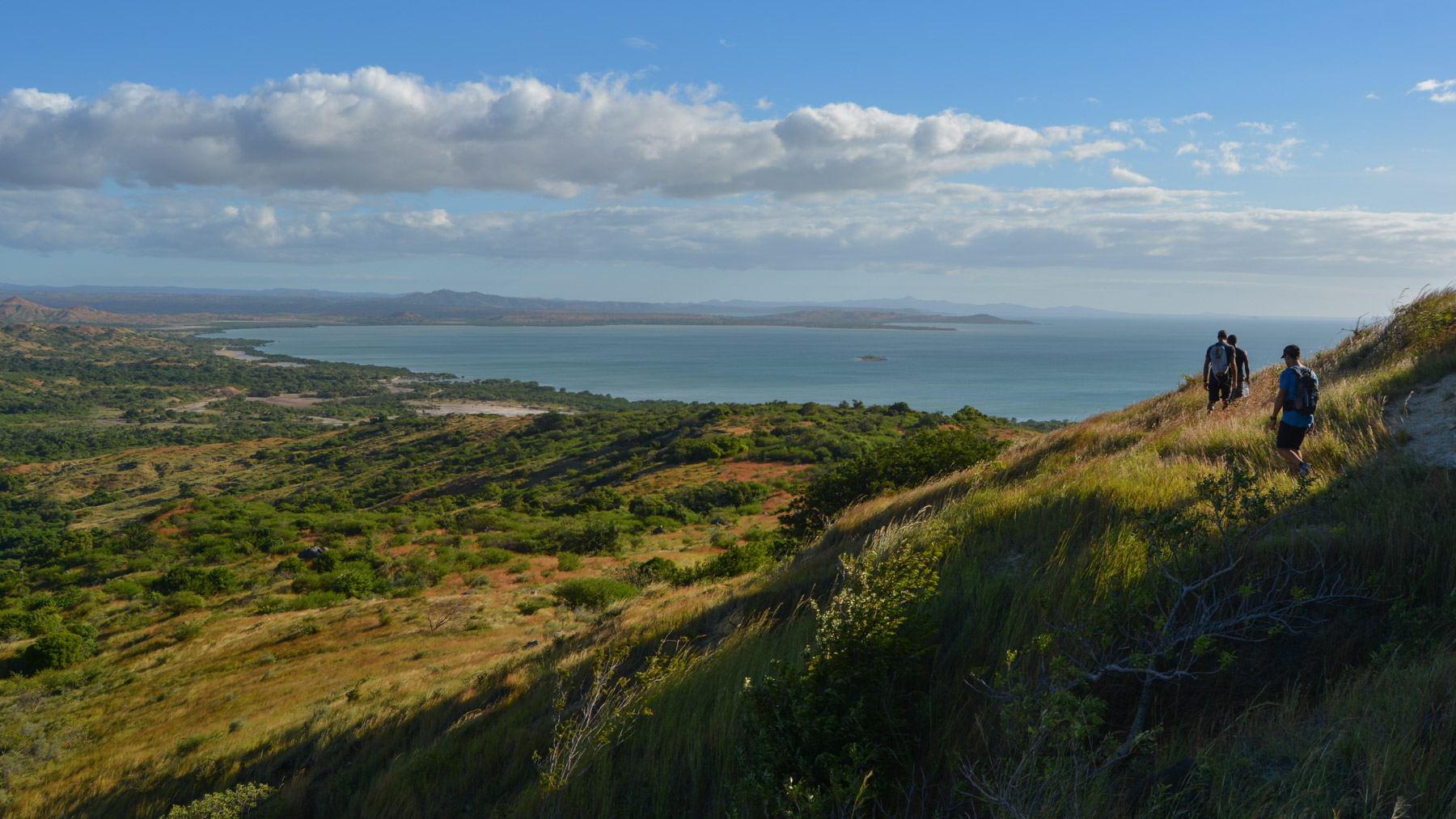
Cross the village and head into the trees and then the savannah, following the fairly well-marked paths and aiming diagonally for the ridge (you can see large chunks of rock that look like ruins from a distance). On the way up, you pass through very tall grass and end up on a steep slope that leads to the ridge, not far from the large boulders seen from below. From here, Windsor Castle can be seen in the distance. We're halfway there!
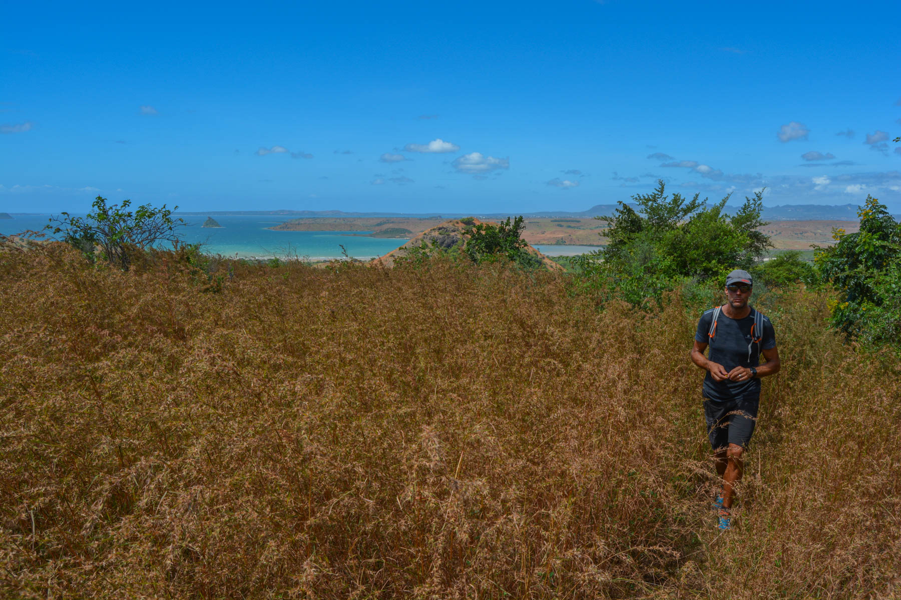
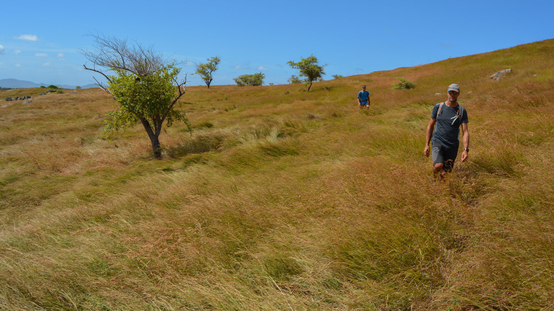
At this point, the ideal route would be to head straight for the Piton du Windsor Castle, across the savannah, staying as far as possible on the ridgeline (we took a wide detour to the right, only to come back to it, so in theory it's avoidable). There's no real trail, just superb savannah on stony ground in places. The ridge takes a long time to climb up, as you slowly approach your goal. Much further on, on arriving in front of the piton, there's a small lake below, where the "official" trail passes. So, either go back down to take it or, as we did, continue improvising on the ridge, battling through rocks and vegetation to reach the base of the cliffs on the south-east side.
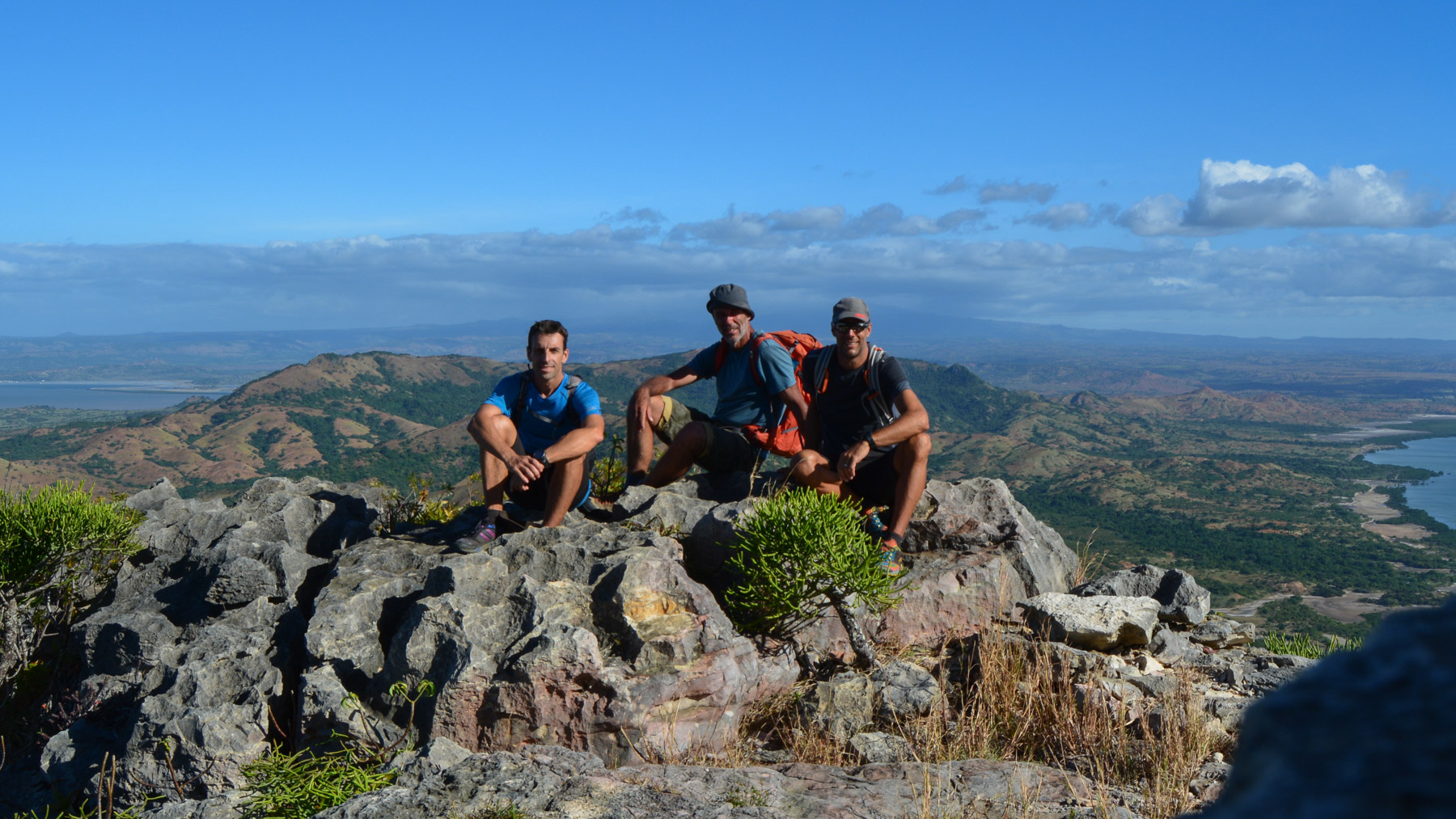
By skirting the cliffs with difficulty and cutting as high as possible, we finally reach the main access path, which leads upwards, skirting the base from the south, and then a series of more than 200 stone steps from the period lead up to the summit. 360° views over Diego Bay, Montagne des Français, Cap d'Ambre, Courier and Cailloux Blancs bays and even the Nosy Hara archipelago in the distance. Splendid!
Take the main path back down to the steps, then walk along the base of the cliff and turn right at the small lake. The path is not clearly visible. Aim for the bottom of the valley, avoiding if possible the small forests of low trees that slow you down. At the very bottom, you come across the very poorly maintained track from Diego-Suarez.


![2017-05-17_11-36-31 [Pic du Carlit]](https://climbing7.com/wp-content/uploads/2017/05/2017-05-17_11-36-31-pic-du-carlit-e1580125390601-1024x682.jpg "Pic du Carlit, Eastern Pyrenees")
Leave a Reply