


TOPO Hiking | CLIMBING7.COM
Publié le
 Partager sur WhatsApp
 Partager sur Twitter
Partager sur Instagram
Partager sur Twitter
Partager sur Instagram

 Partager sur Facebook
 Imprimer le topo
 Laisser un commentaire

Superb weather for this 1st outing on Gran Canaria! The hike forms a lovely loop, with the first half climbing up the barranco d'Agaete and the second part ascending the Montaña de las Presas through the pines, which, at an altitude of some 1,000 m, offers us a fine aerial view of the coast at the end of the route. The slightly foggy atmosphere prevented us from seeing Tenerife, just a few dozen kilometers away, but that's all in the past. No particular difficulty, then, apart from the fairly long distance, but a charming itinerary that immediately puts you in the area's gentle "winter" mood.
❱❱ Technical summary
Type ✦ Hiking
Location ✦ Agaete
Region ✦ Gran Canaria
Country ✦ Spain
Length ✦ 16,2kms
Difference in altitude ✦ 1175m
Difficulty ✦ MD
Max altitude ✦ 1290m
Duration ✦ 5h to 6h
Interest ✦ ★
❱❱ Access to the place
Go to Agaete on Gran Canaria's northwest coast. Follow the streets inland, then head for San Pedro. In the village, park near the central mini-plaza where you'll find the only bar-superette, the starting and finishing point of the trek.
❱❱ Map & topo
❱❱ Itinéraire
It's immediate. From the square, take trail S97 to El Sao, which starts right here, without crossing the barranco bed. Descend to the soccer field where the trek starts, on the opposite side.
The trek follows a combination of officially listed trails, with occasional signposts but no real signposting along the way (and this is the case all over the island, apparently).
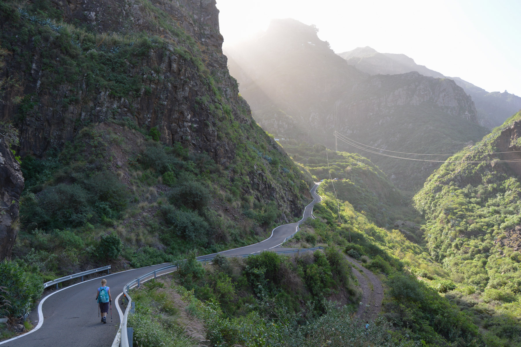
Cross the stabilized soccer pitch and climb a little to catch the good path in the dwellings which runs along the bed of the torrent on the left as you climb (right bank). The path soon joins the road, which we follow, before leaving it and continuing on. The path then climbs steeper and steeper to reach a kind of watchtower under the road (you can bivouac just above it), and then continues downhill until you reach El Sao, with a stretch of road at the end.
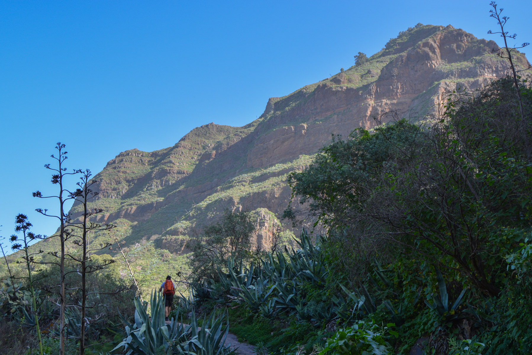
Continue on the S97 towards El Hornillo. The route climbs and rises above the barranco. We pass under an orange cliff with cavities dug by troglodyte ancestors? Higher up, you finally reach the El Hornillo refuge. Continue on the winding road, then descend a little to reach the presa de los Perez dam (832m).
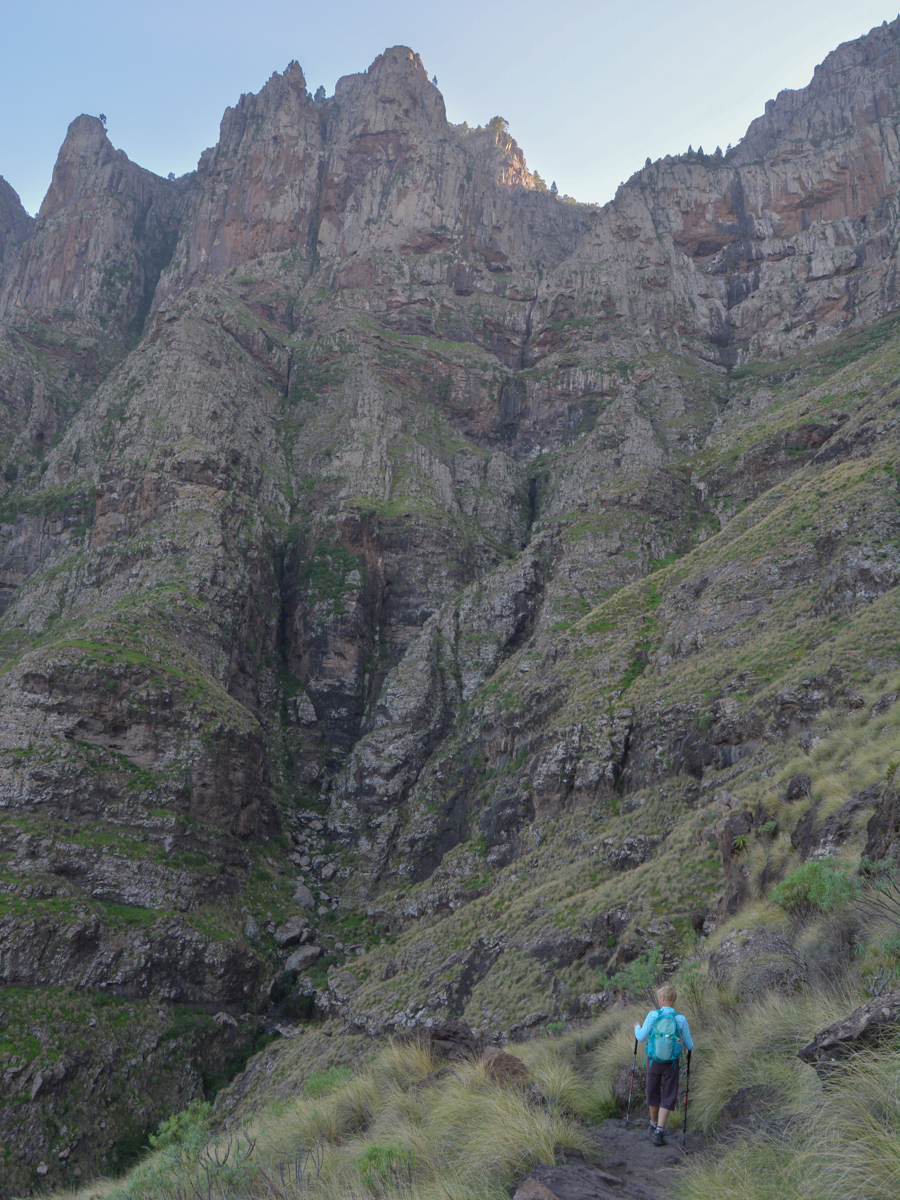
Cross the dam, following the S98 towards Tamadaba. Just after, you'll find the path leading up into the pine forest. Follow it, then turn right when you come across a path leading up from the left, and stay on the main path until you reach the fork to Agaete on the S90, below the Pico de la Casa. This will descend slightly to the Tamadaba picnic area (1202m). Take the track on the right and then the path on the left towards Cortijo de Samso. It continues to descend gently, passing by small water reservoirs and finally arriving at the Montaña de las Presas viewpoint on the edge of the forest and the cliffs above the Agaete valley. Beautiful panorama of the west coast and the valley at our feet.
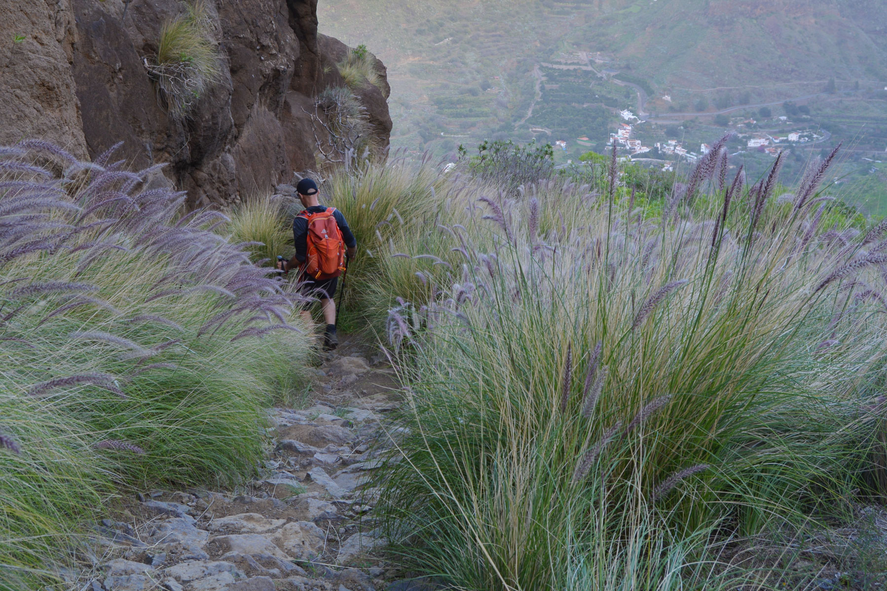
Then comes the long descent to San Pedro. A well-developed, aerial path that winds down the large walls in several stages. Further down, you pass through an area of highly sculpted volcanic rock, ending up on steep switchbacks to reach the upper part of San Pedro, and then the village's mini-plaza.


Leave a Reply