


TOPO Hiking | CLIMBING7.COM
Publié le
 Partager sur WhatsApp
 Partager sur Twitter
Partager sur Instagram
Partager sur Twitter
Partager sur Instagram

 Partager sur Facebook
 Imprimer le topo
 Laisser un commentaire

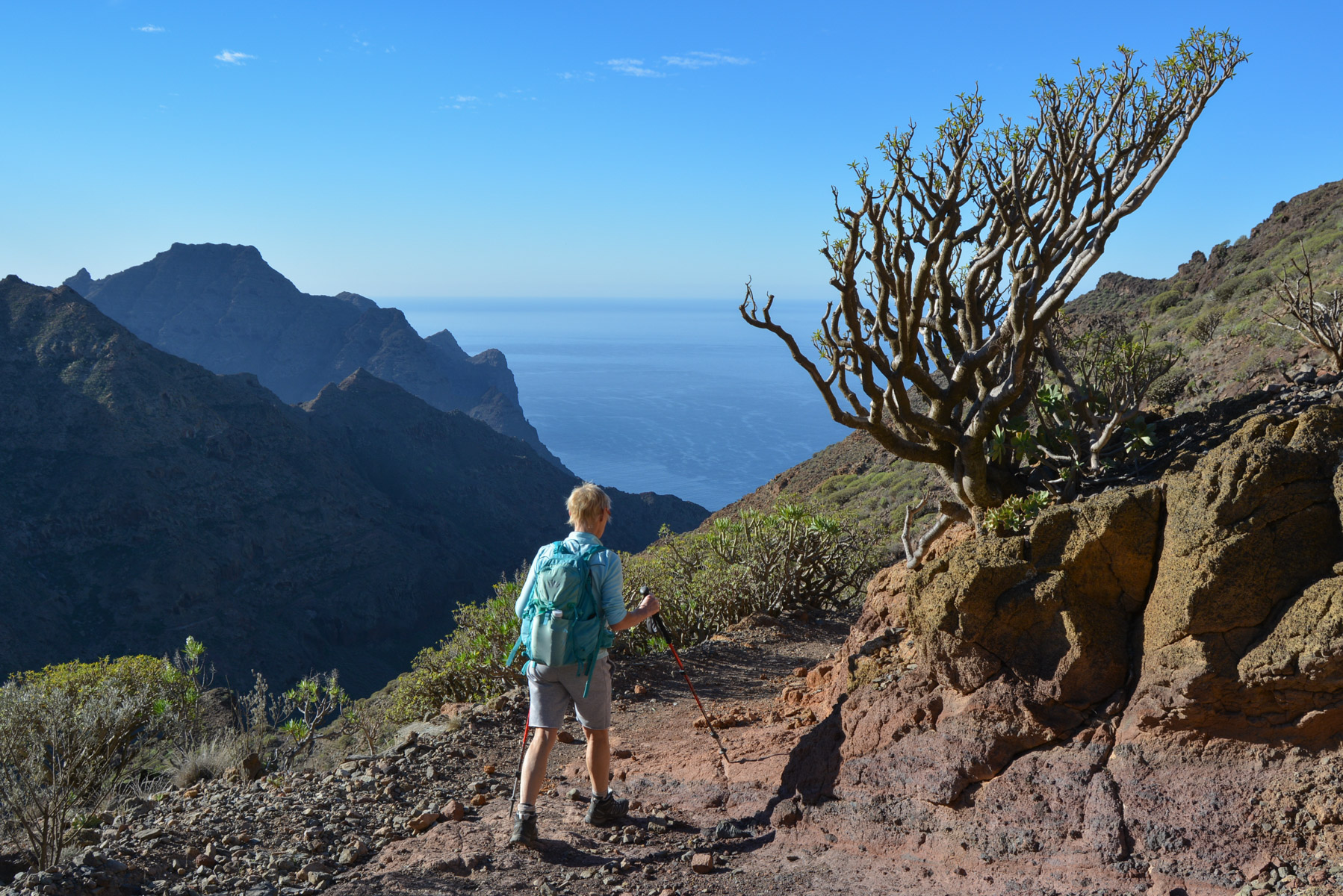
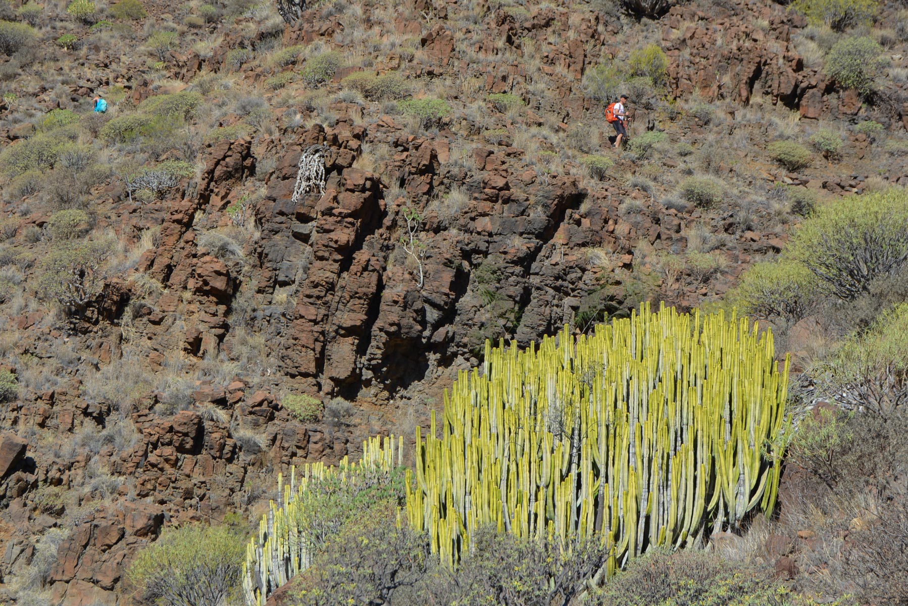
A major trek in the western part of the island: crossing the natural park via the Camino de Güi-Güi in a splendid wilderness setting, amidst Cardones, magnificent fluorescent yellow-green cacti and sculpted orange-red walls. Expect to come across a rattlesnake, see a hungry coyote run downhill or hear Blueberry's gallop echoing in the distance. Mexican sierra ambience guaranteed. An itinerary not to be missed, most of which has not been hiked, except for the final stretch from the beach, which is more accessible from the south. The views over the acantilados to the 3800m peak of neighbouring Teide are also well worth the detour. Probably the most memorable trek of our stay.
❱❱ Technical summary
Type ✦ Hiking
Location ✦ La Aldea
Region ✦ Gran Canaria
Country ✦ Spain
Length ✦ 16,1kms
Difference in altitude ✦ 1181m
Difficulty ✦ D
Max altitude ✦ 704m
Duration ✦ 5h30 to 6h30
Interest ✦ ★★★
❱❱ Access to the place
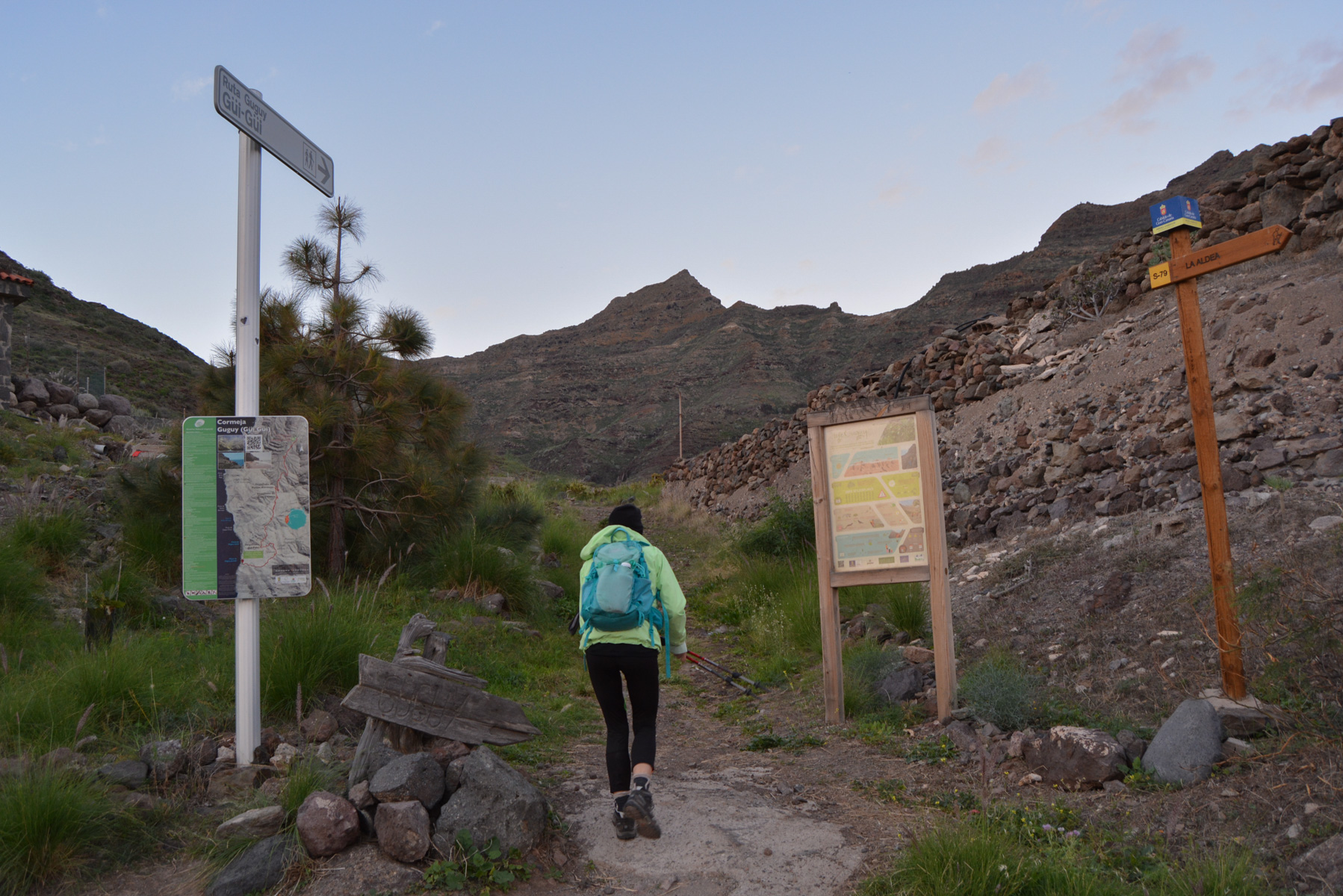
Go to La Aldea and take the G-200 road between the town center and the beach. At one of the bends, in the Albercon district, turn south into Calle Cumeja. A sign indicates Gui-Gui. Follow this alley upwards and park at the top of the road in the parking lot.
❱❱ Map & topo

❱❱ Itinéraire
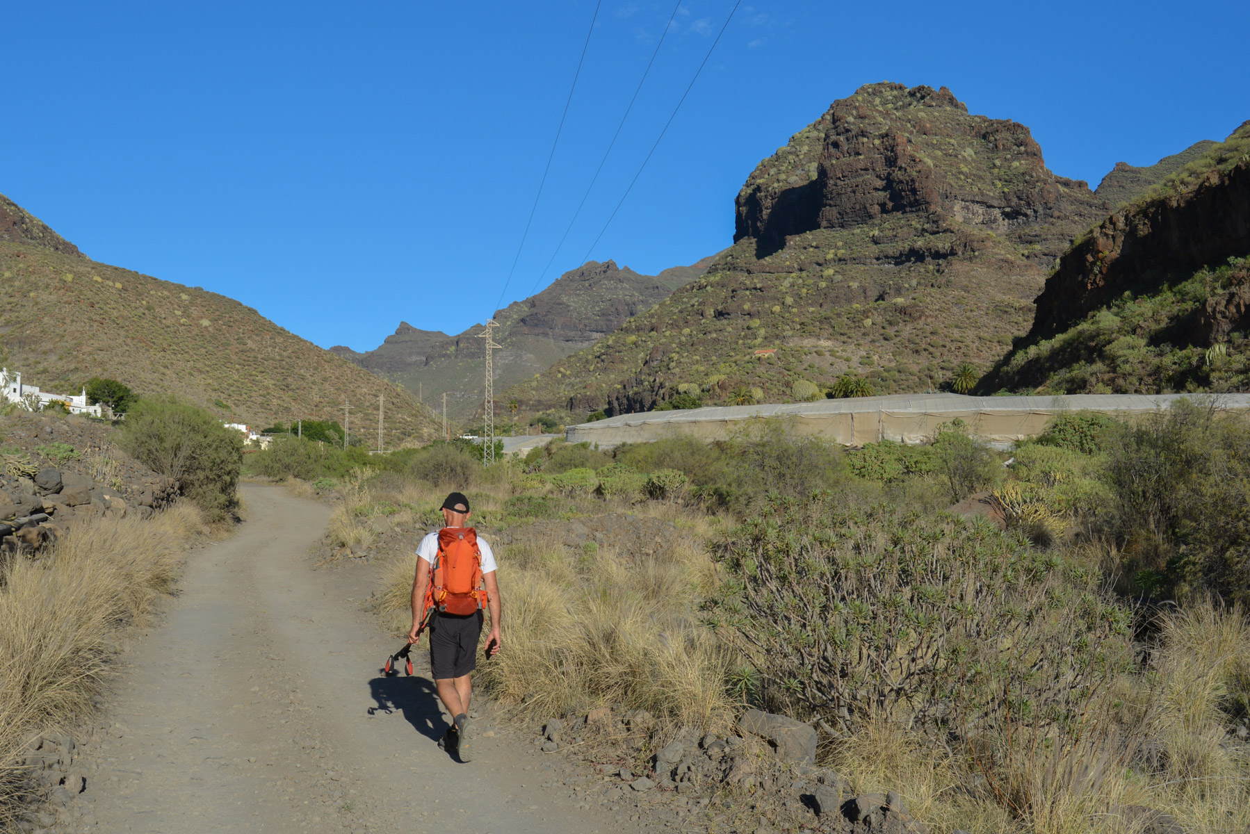
The start of the trek is just before the final parking lot, on a bend in the road. It's not to be missed, as there are several signs pointing the way to Güi-Güi beach.
As with all the trails on the island, the itinerary is well marked on the ground, with signposts at crossroads, but no real signposts along the way. A nice climb, with 1 big pass to cross at the start and a second steep one on the way back from the beach to Tasartico. No particular difficulty.
Bring plenty of water, as there are no refreshment points. It's best to have a GPS track on your cell phone for easier orientation.
For the record, "degollada" means pass or passage between 2 heights, a strictly Canarian term it seems...
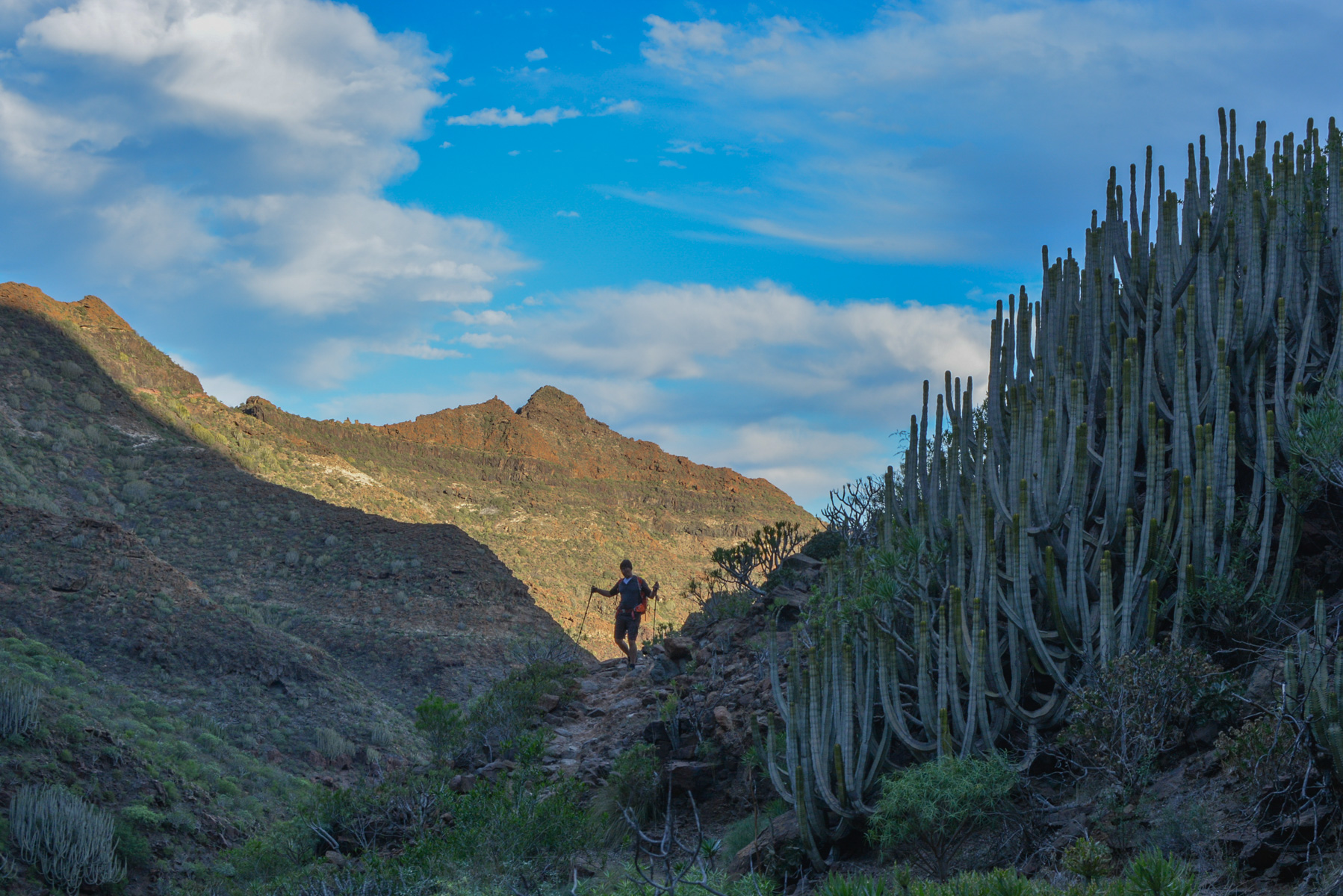
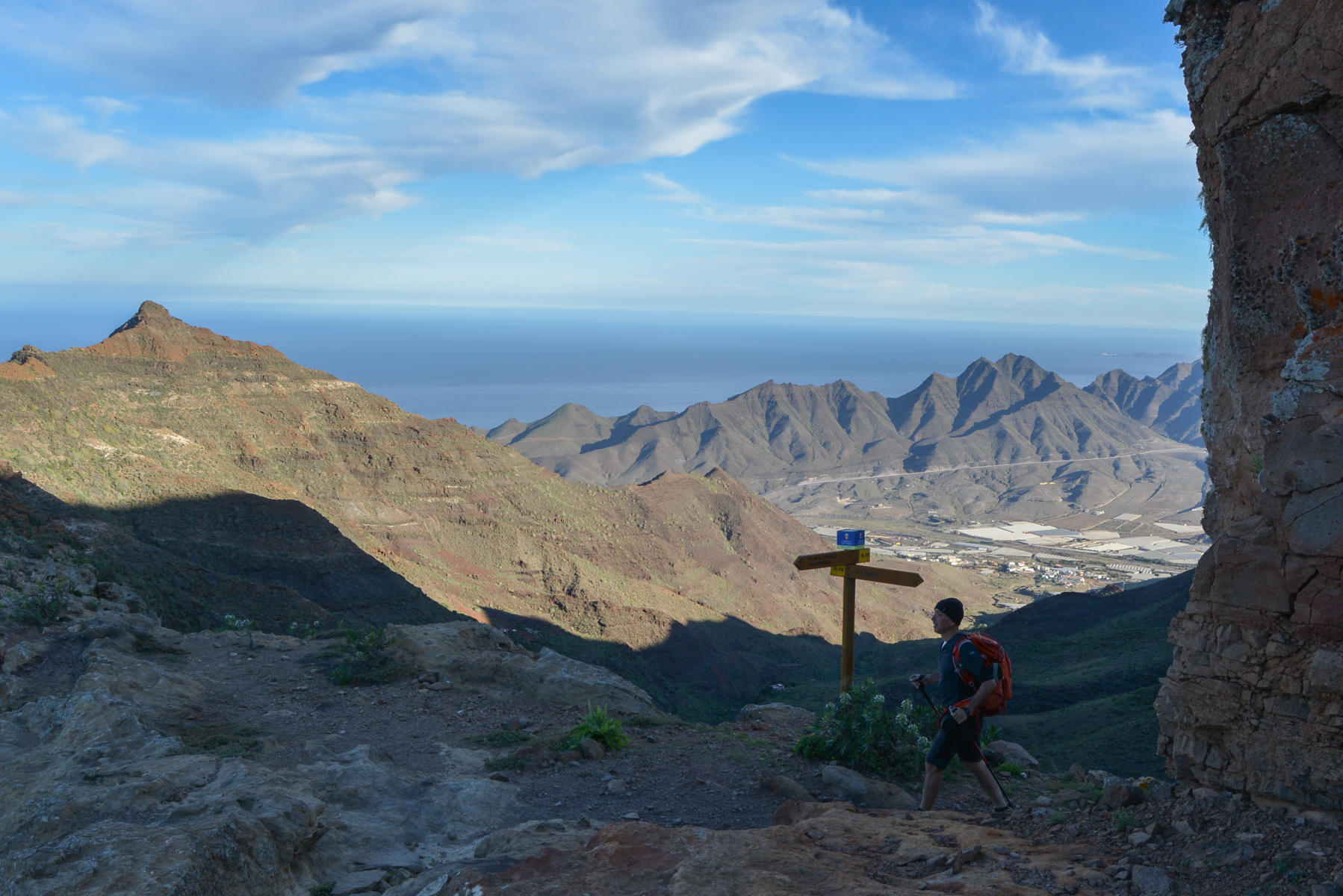
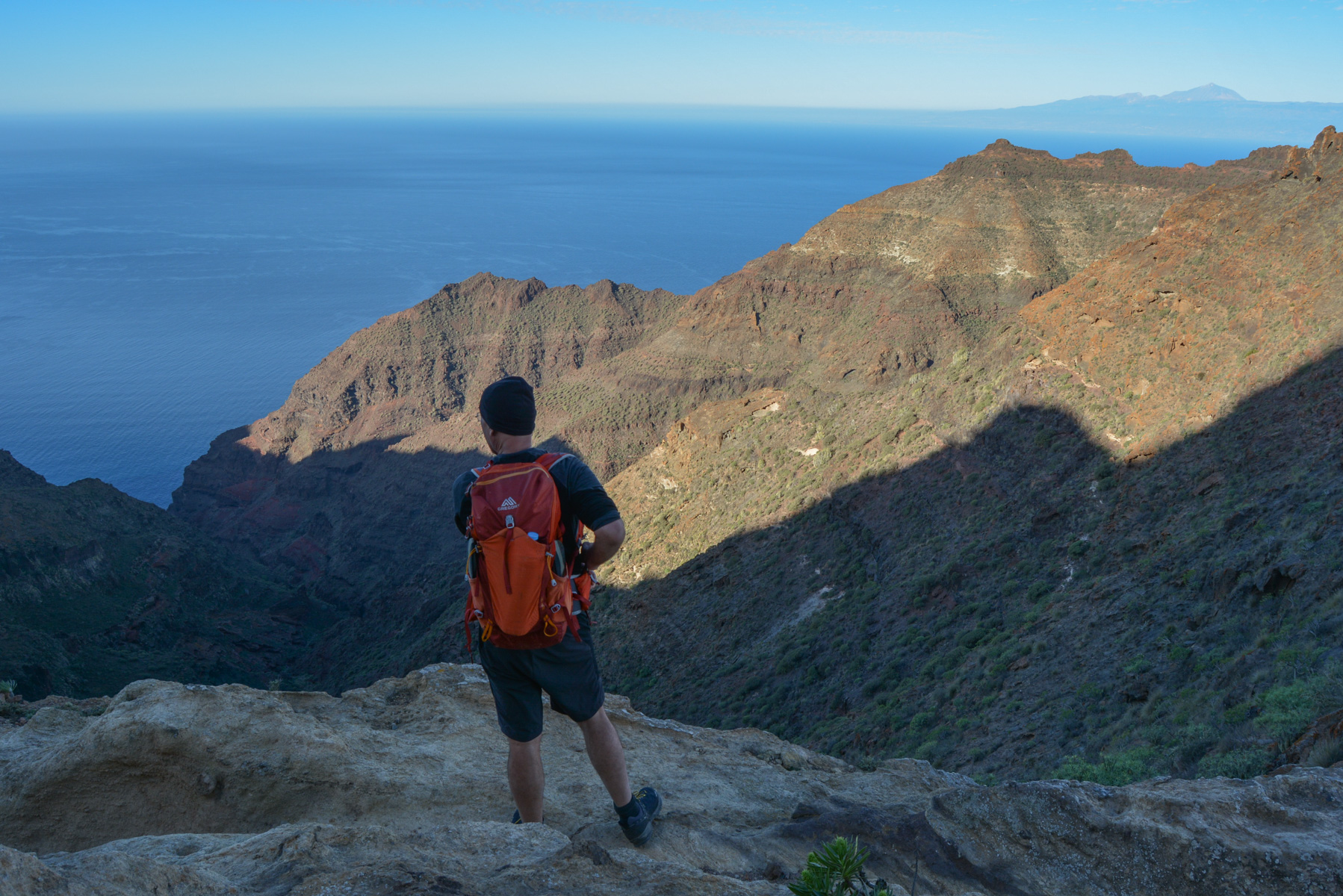
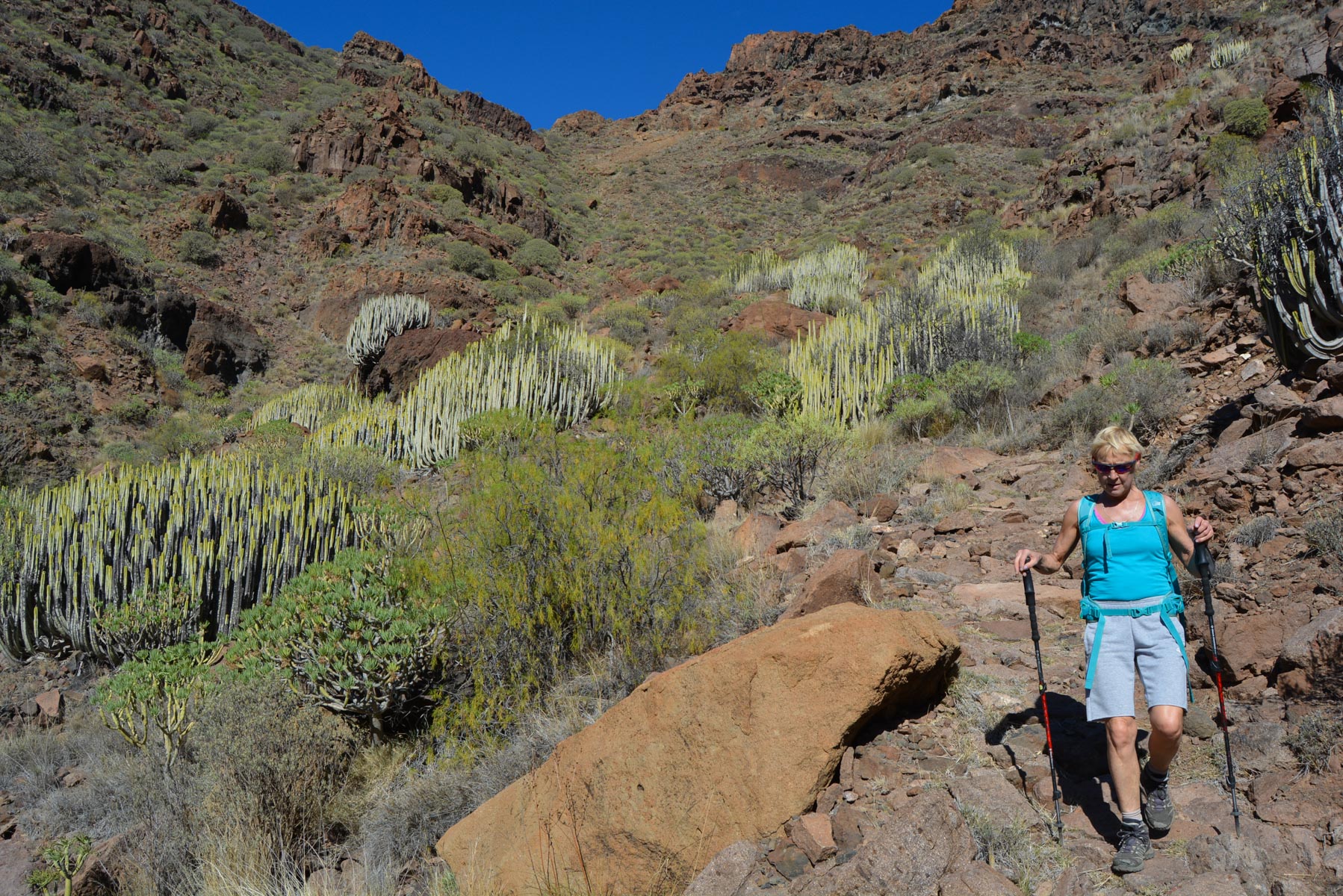
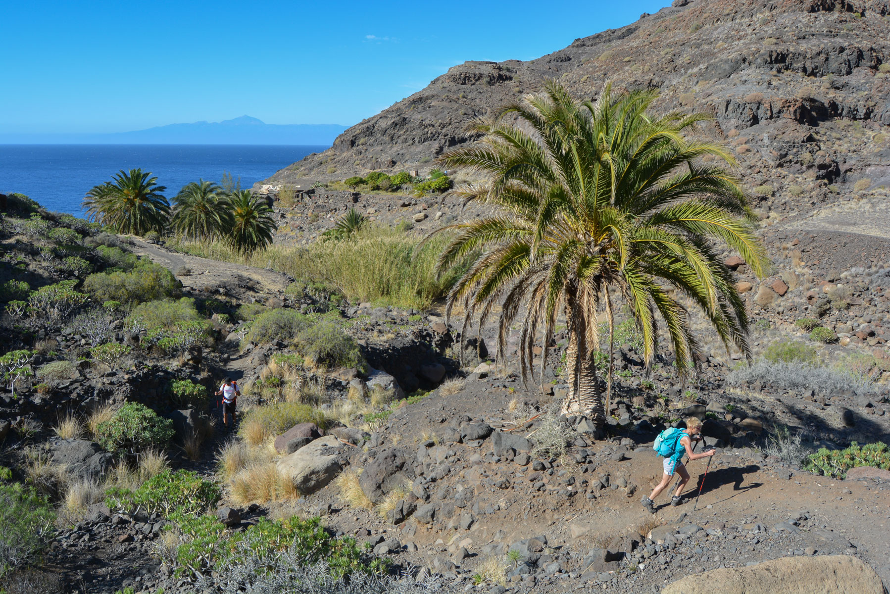
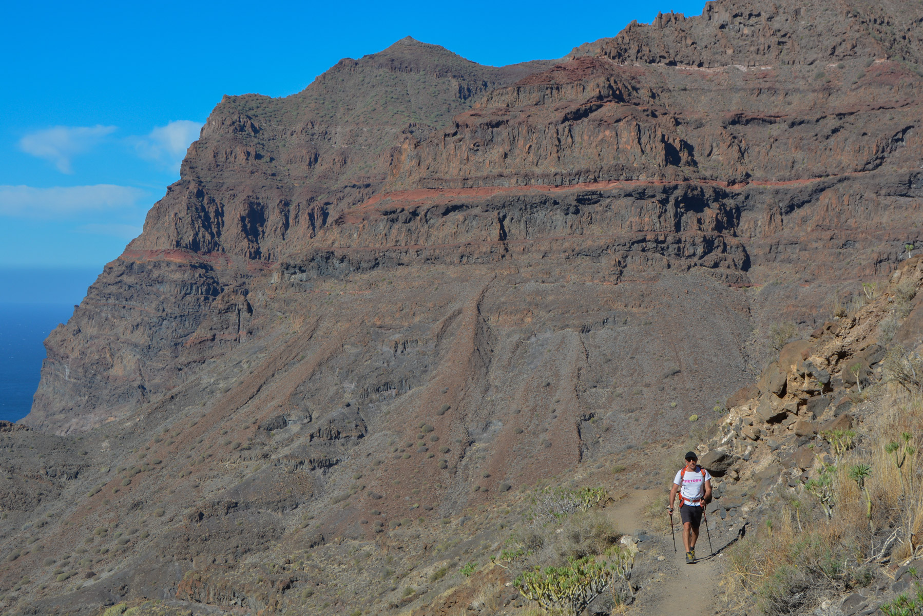
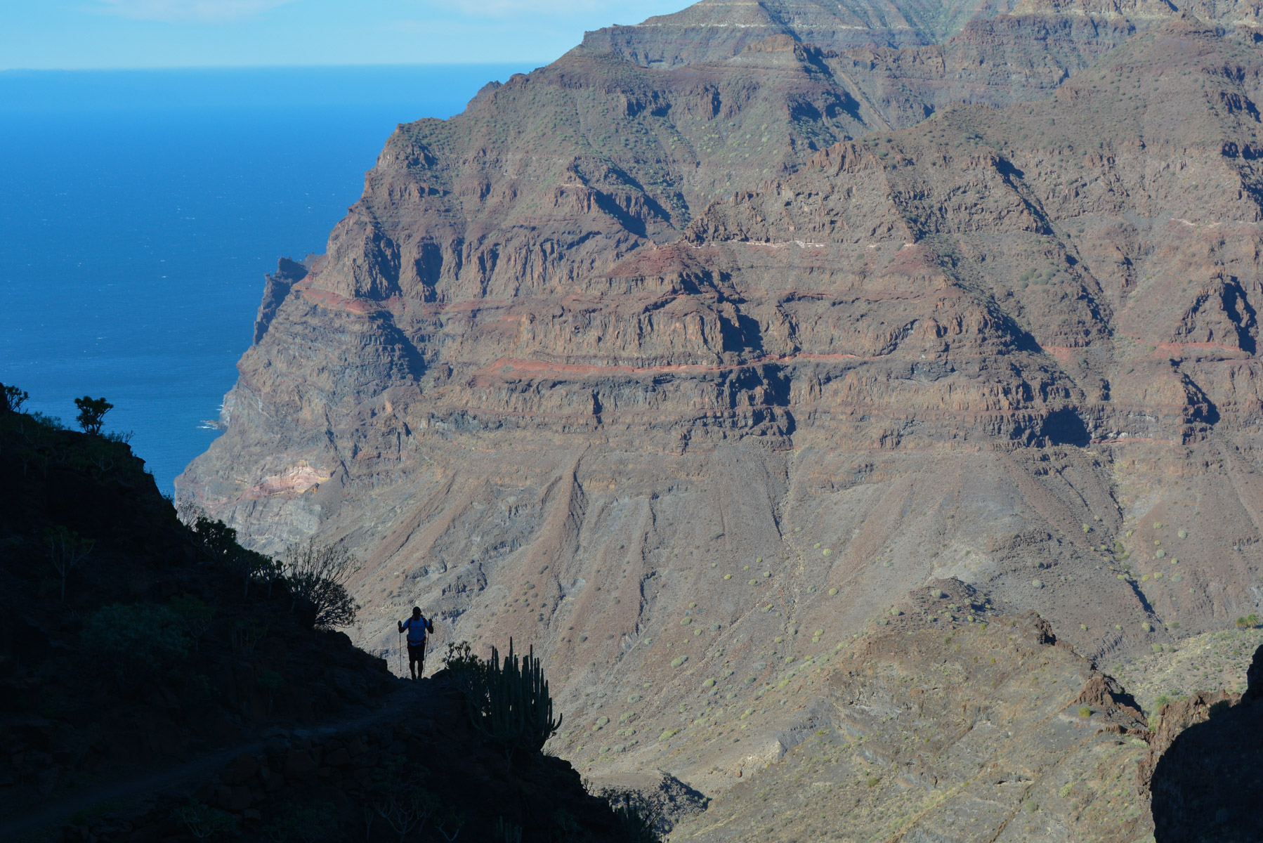
The trail gets off to a gentle start and rises quietly above the La Aldea valley. We gradually head south, following the relief and mountain slopes carpeted with cacti and other low-growing plants of all kinds. Western ambience. After about 1 hour, you can see the pass you need to cross. The path climbs steeper into a gully, winding tightly but on a steady slope. At the end, a switchback leads back west to Bermejo Pass. Spectacular views of the cliffs, the sea and Tenerife's Teide.
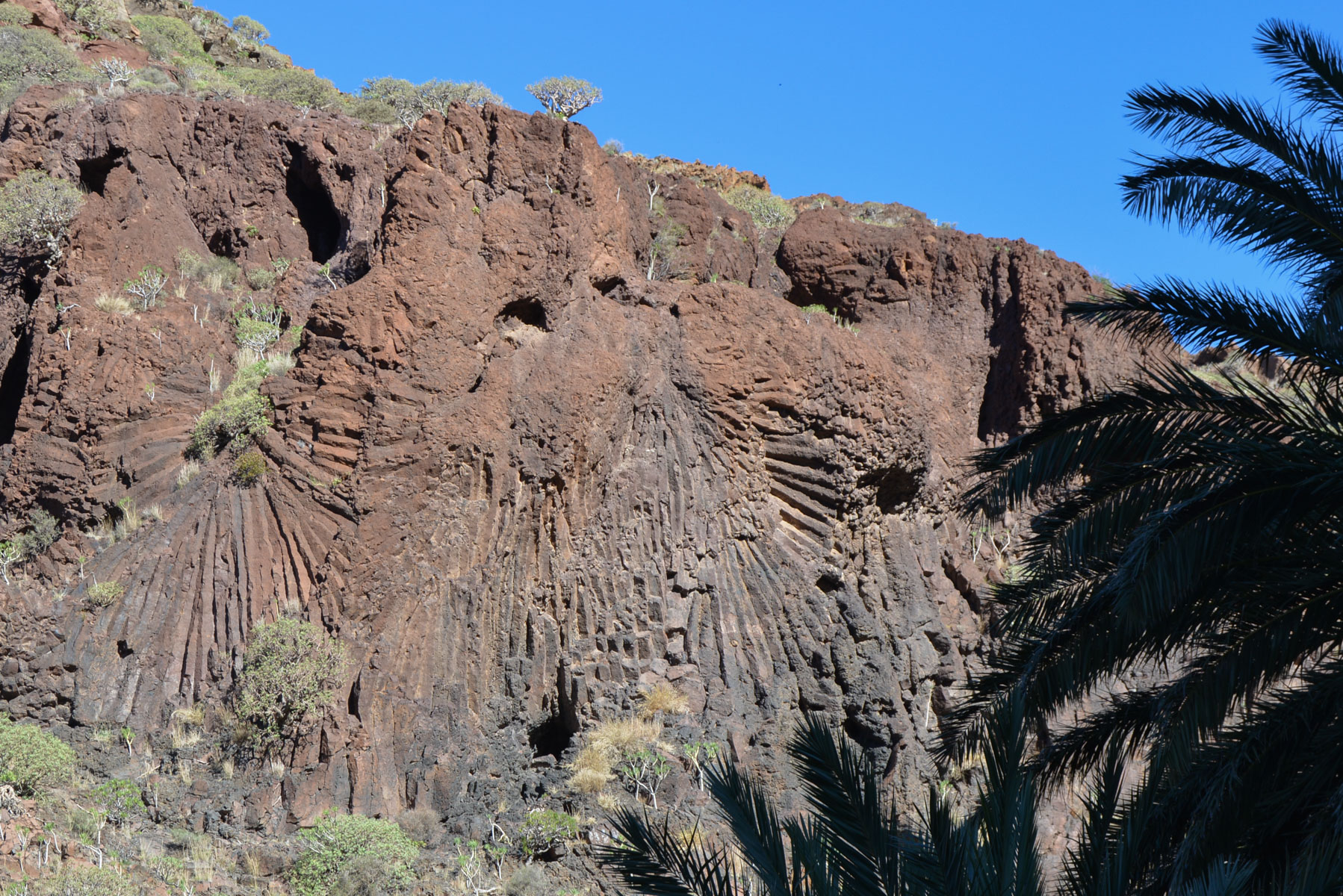
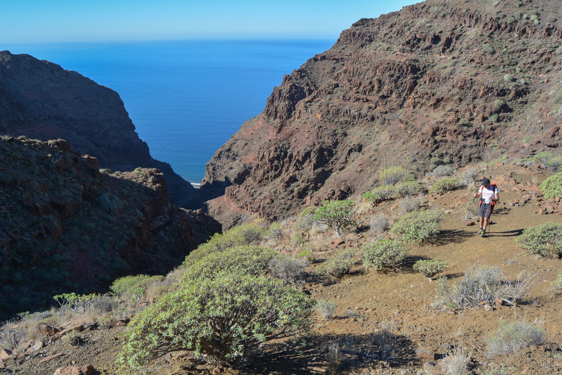
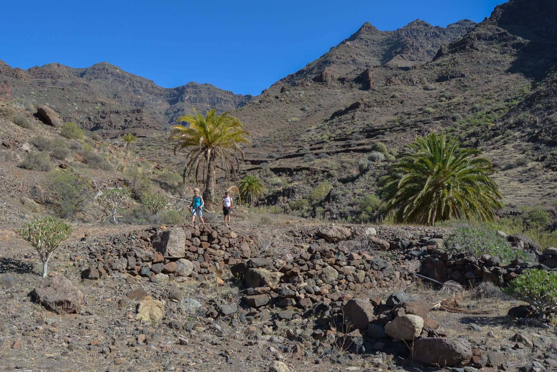
Descend steeply and take the S79 path to the right, towards the Güi-Güi Chico barranco. You then descend to reach the bed of the barranco and a little corner of paradise: an oasis, a stone house, a gite (Mil Estrellas) and a painter with her dogs. You can also admire the roseta volcanica, a geological star formation on the surrounding walls. The path climbs a little higher and, for the 1st time, you finally catch a glimpse of a stretch of beach below. Further on, the Col del Palo, a sort of spit that gives access to the valley of the barranco de Güi-Güi Grande and the famous beach.
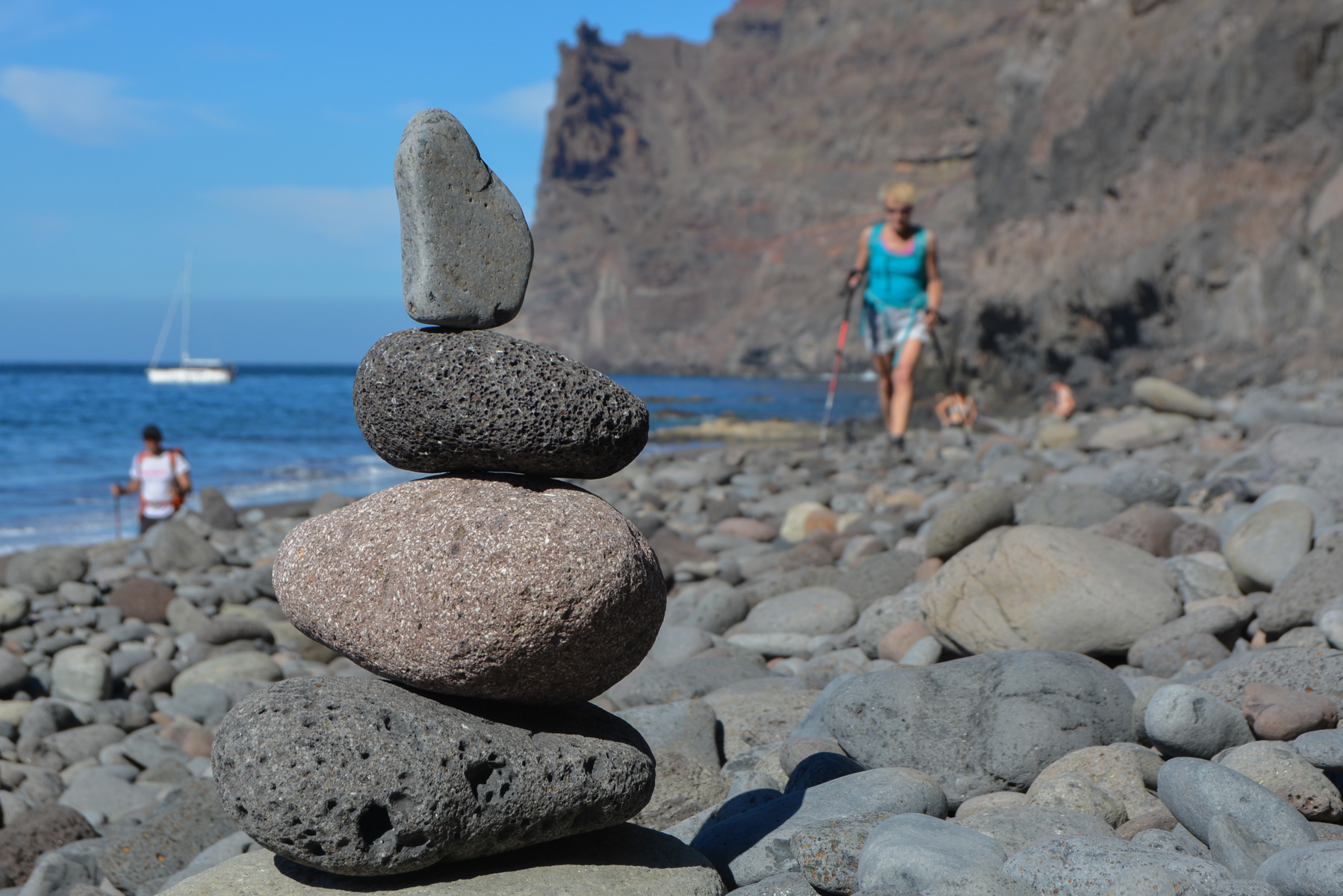
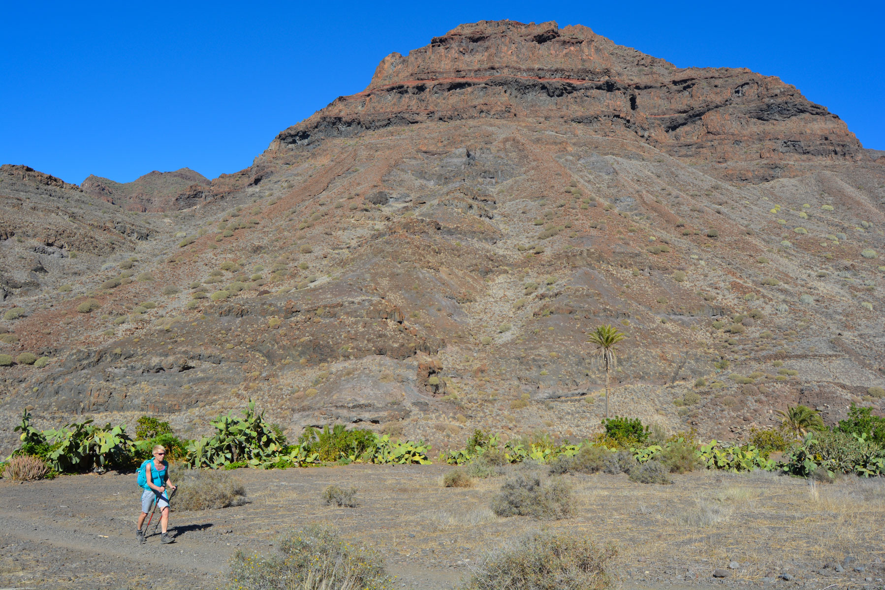
A long descent to the barranco, with sumptuous fluorescent yellow-green cardones below! We reach the bottom of the valley and the trail heads due west this time to access the beach. A bit crowded though...
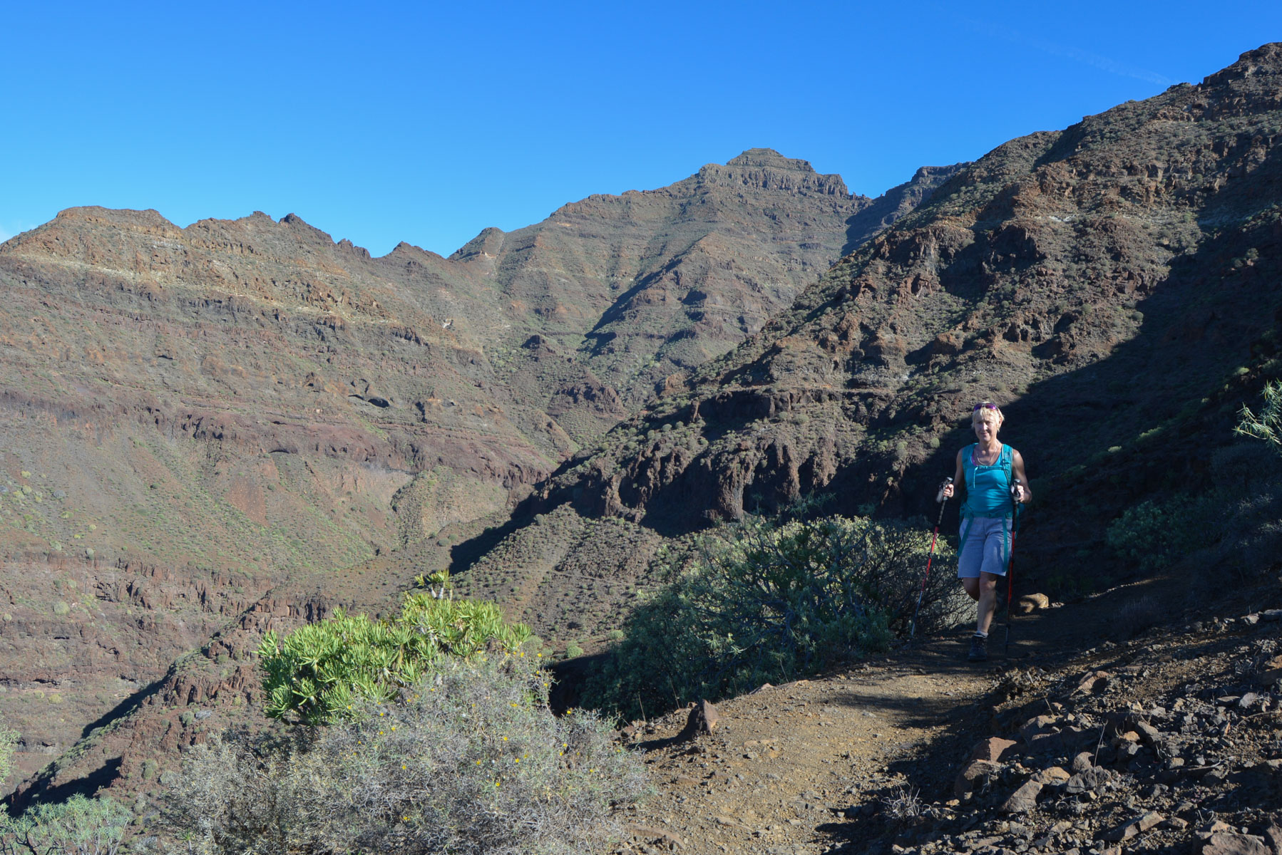
Not so easy, as we have to cross another pass: the degollada Aguasabina. Backtrack from the beach and quickly branch off towards Tasartico. A good climb in the legs and you reach the small pass on the Tasartico side.


Leave a Reply