


TOPO Hiking | CLIMBING7.COM
Publié le
 Partager sur WhatsApp
 Partager sur Twitter
Partager sur Instagram
Partager sur Twitter
Partager sur Instagram

 Partager sur Facebook
 Imprimer le topo
 Laisser un commentaire

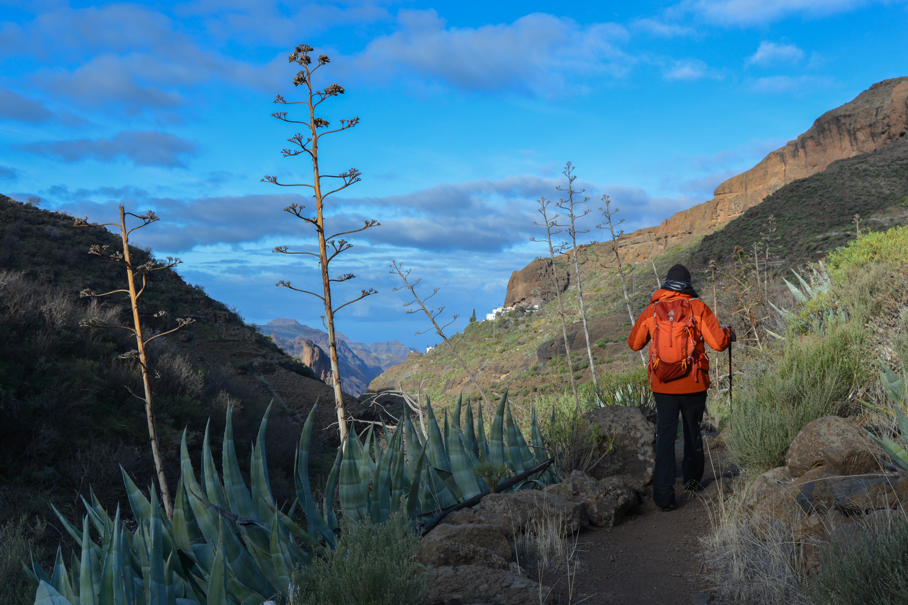
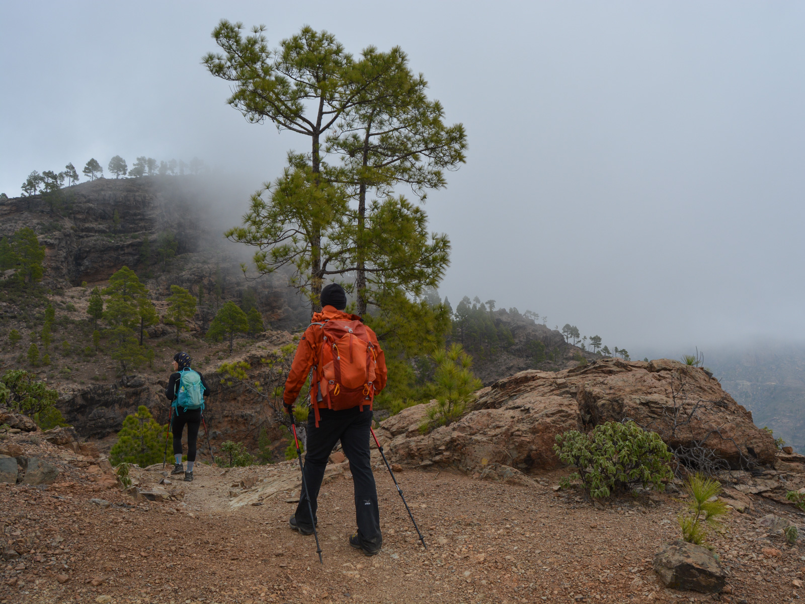
In the center of the island, below the small town of Tejeda, the Cañada de las burras forms a pretty loop that explores the barrancos on the west side, passing through some superb little villages nestled on promontories or in the hollow of the cliffs: El Toscon, Ronda, El Juncal. Halfway along, the path crosses a deep pass known as la cañada de las burras or literally the donkey ravine (?). At the end of the route, the Aserrador ridge rises up, overlooking the Juncal barranco. As the weather didn't really cooperate, panoramic views of the interior reliefs remained furtive or barely visible. A fairly demanding loop, but well worth the detour.
❱❱ Technical summary
Type ✦ Hiking
Location ✦ El Toscón
Region ✦ Gran Canaria
Country ✦ Spain
Length ✦ 14kms
Difference in altitude ✦ 935m
Difficulty ✦ MD
Max altitude ✦ 1110m
Duration ✦ 5h to 6h
Interest ✦ ★
❱❱ Access to the place
Go to the center of the island between Tejeda and San Bartomolé de Tirajana. On the G-60, go over a pass at Montaña del Aserrador. Head for El Toscón and park 2 km away at the small pass where the trail begins.
❱❱ Map & topo
❱❱ Itinéraire
With this option, you start the trek directly from the parking area. Alternatively, park at the pass on the G-60 and walk 30 minutes to the trailhead.
It's a big loop that starts out descending, then with a positive vertical drop spread over 3 successive climbs. The itinerary is not so obvious, as here again it's a combination of official trails. No particular signposting, but signs at the most important junctions. It's best to have the GPS track available in case of doubt.
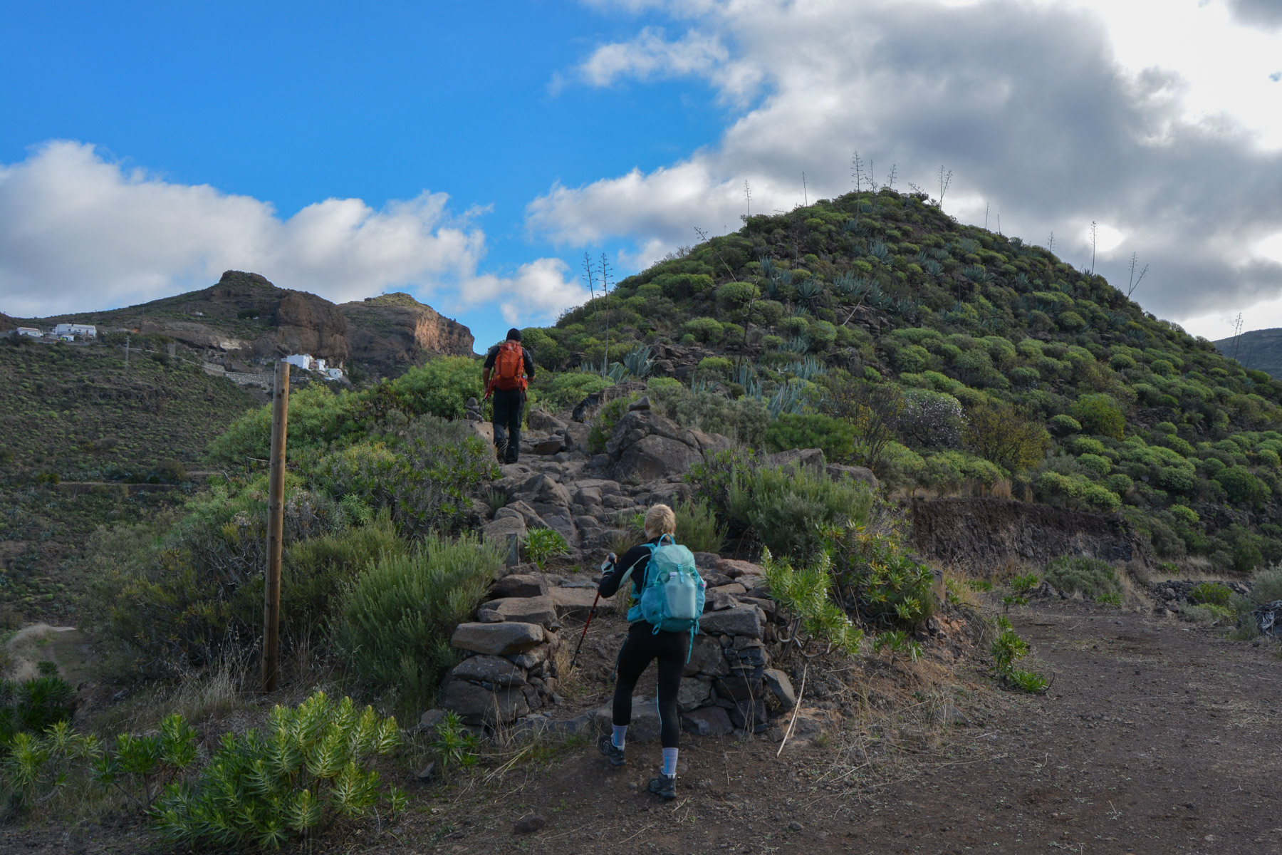
Descend straight down into the valley, cross the dry torrent below and climb quietly up the right bank to reach the hilltop village of El Toscón via the terraces above the barranco.
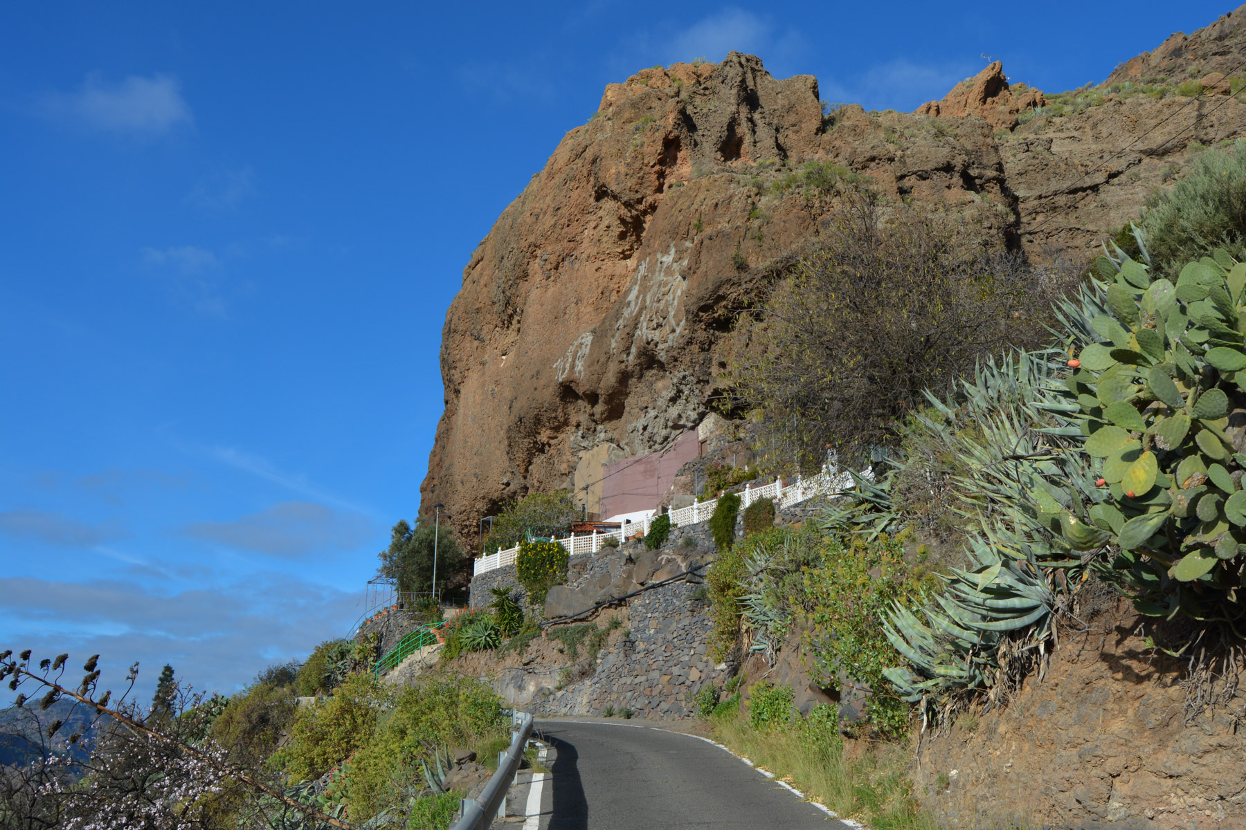
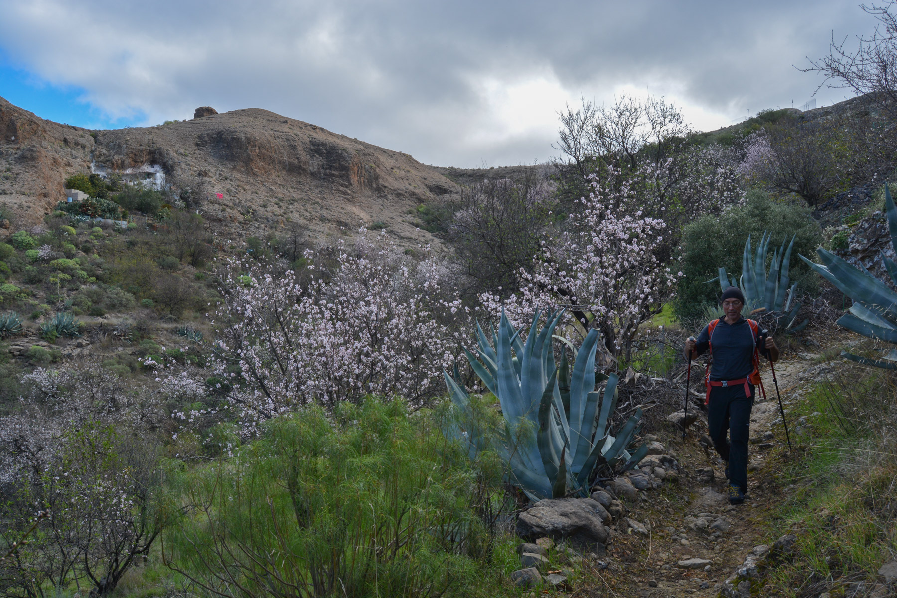
Follow the road through El Toscón and under the church, after 2 hairpin bends, take the cul-de-sac on the left, just before leaving the village. Go downhill to the bottom of the barranco and catch a wide path at the bottom which climbs up on the opposite side. Climb towards the "El Roque" tooth, and at the bend at the top, take the ridge path on the left. Follow the cairns upwards, descend again and wind upwards through an almond field to reach a plateau. Once you've crossed it, you'll see a dwelling under a rock, belonging to the hamlet of Ronda. Follow the path until you pass exactly under the house and say hello to Pancho, the white donkey who roams the area and follows you everywhere!
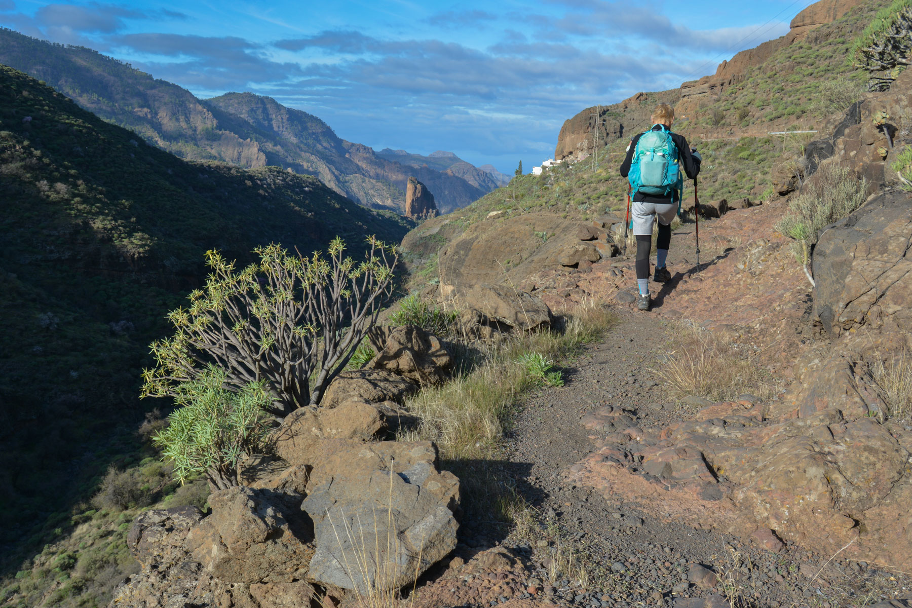
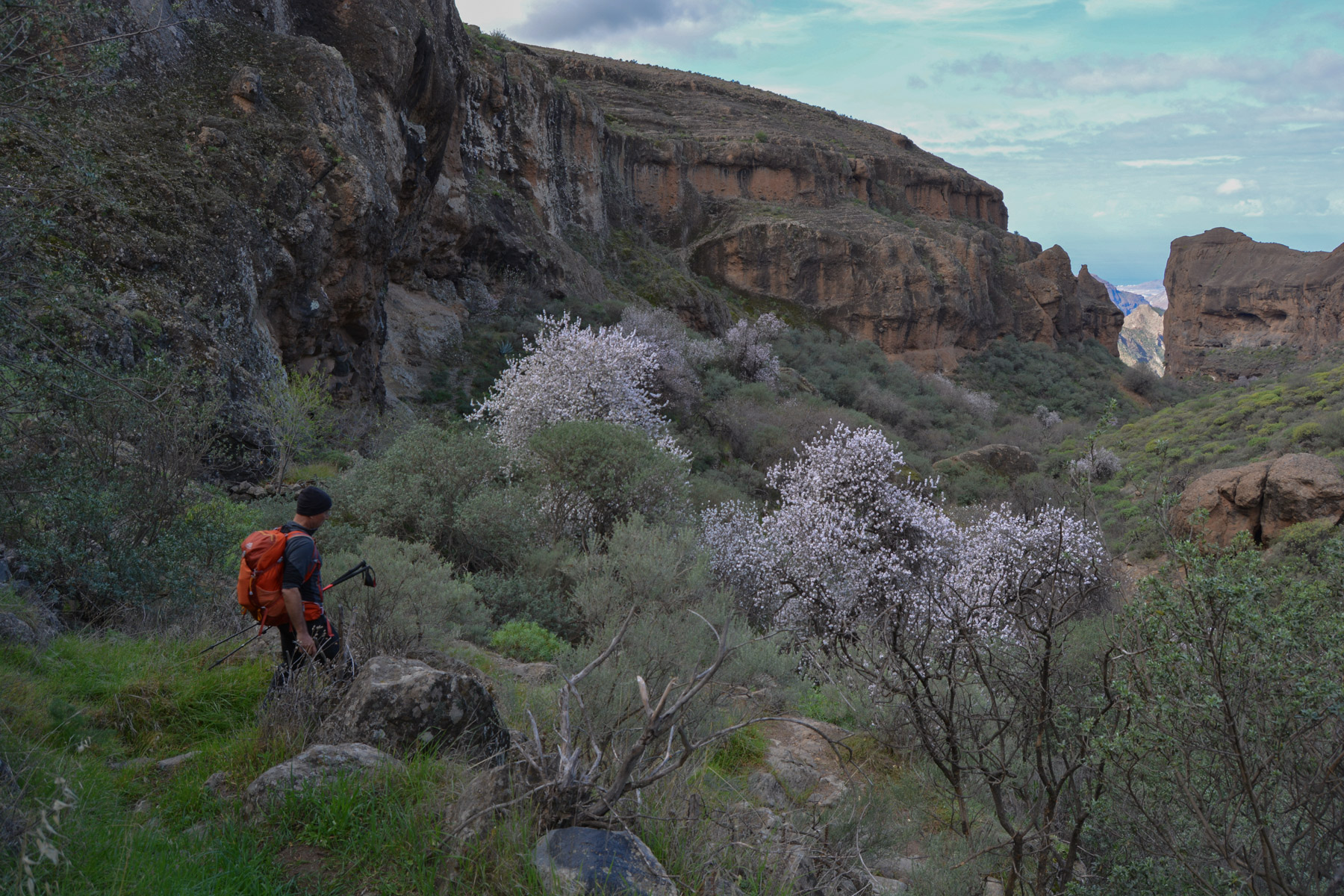
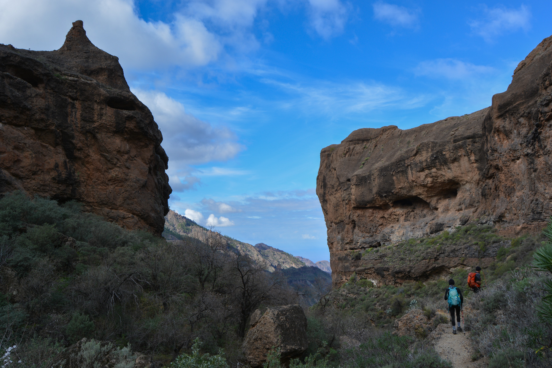
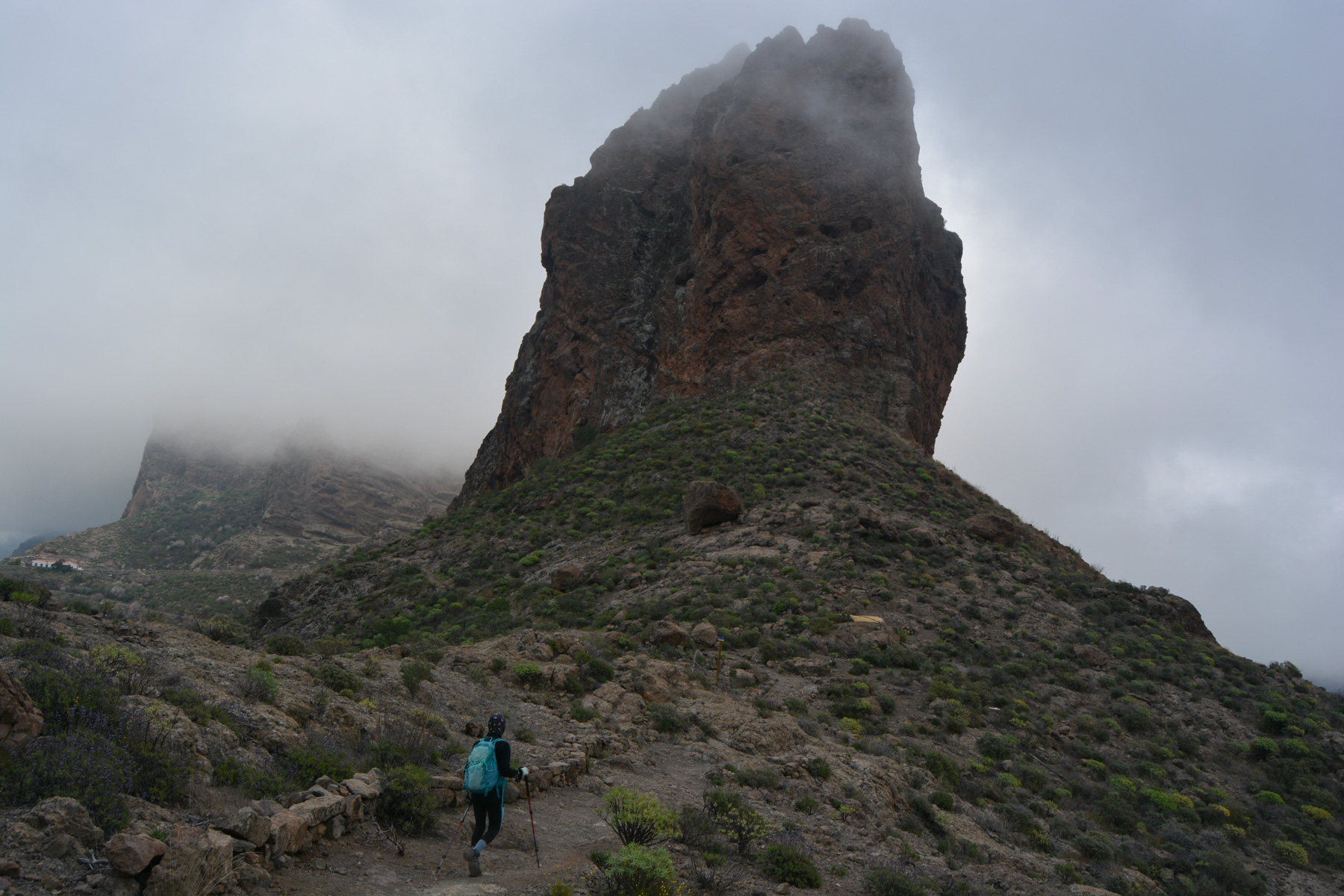
Descend to the bottom of the barranco on a path that is minimal in places, to reach the pass formed by 2 high rock faces, one of which, the one on the left, has a sort of characteristic point on the top. The barranco opens up and becomes much more incised, and the path is quite airy. We continue on the right bank upwards for quite a long time before literally plunging to the bottom and passing under a wide cliff, before finally climbing up the next couloir via the El Juncal barranco. At the end, we join a track that takes us under Ronda but on the other side of the mountain until we find the fork to the cruz de Pajonales (S-60).
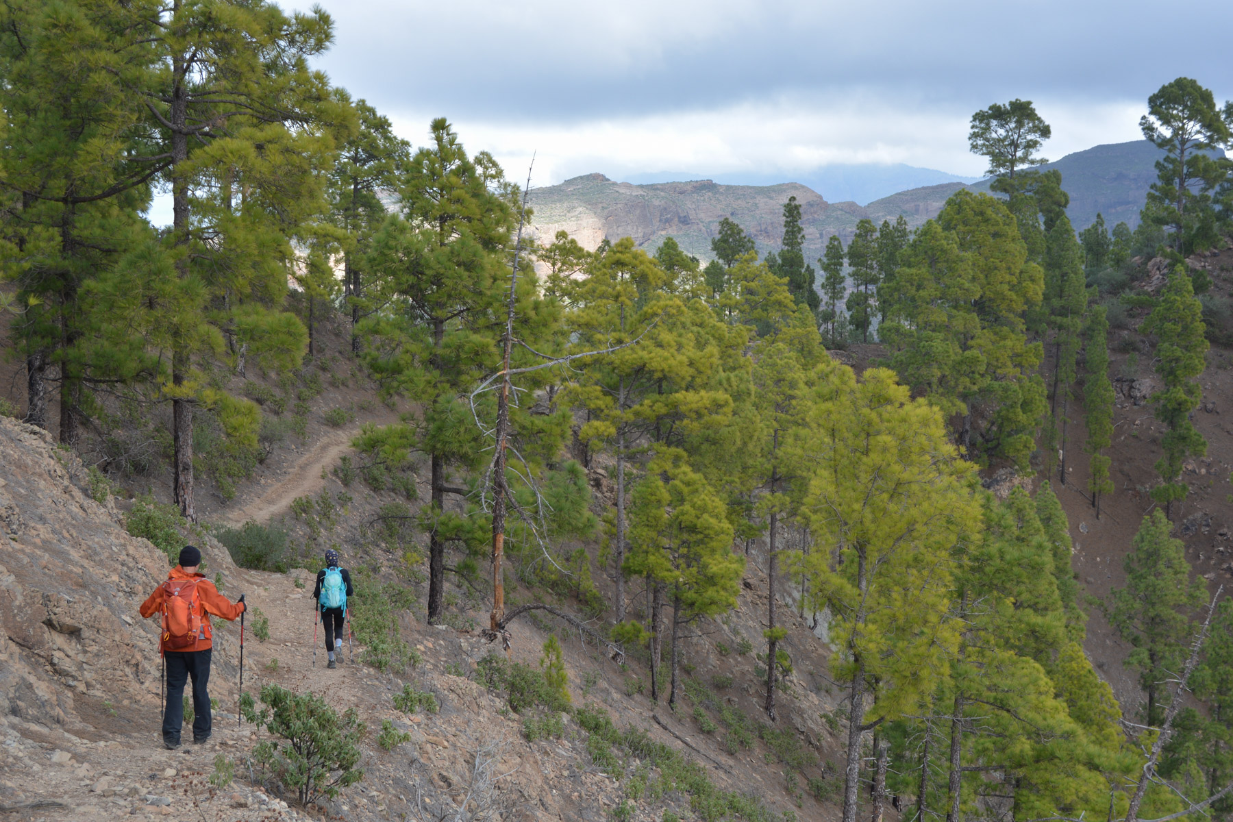
A 20-minute ascent to the Cruz de Pajonales, where you take the wide white trail to the Cruz de las Huesitas in another 20 to 25 minutes. At this pass (1209m), take the S-66 ridge path towards the degollaga de la Hoya Vieja. Follow this long trail, which climbs in successive steps, sometimes descending a little to skirt the El Juncal valley as it rises to the northeast. Beautiful views of the villages, and probably also of the relief in the center of the island, but not very visible today. At the end, we find the G-200 a few hundred metres from the pass.
Return along the G-60 to the pass and walk along the El Toscón road to the start parking lot.


Leave a Reply