


TOPO Ski Touring | CLIMBING7.COM
Publié le
 Partager sur WhatsApp
 Partager sur Twitter
Partager sur Instagram
Partager sur Twitter
Partager sur Instagram

 Partager sur Facebook
 Imprimer le topo
 Laisser un commentaire

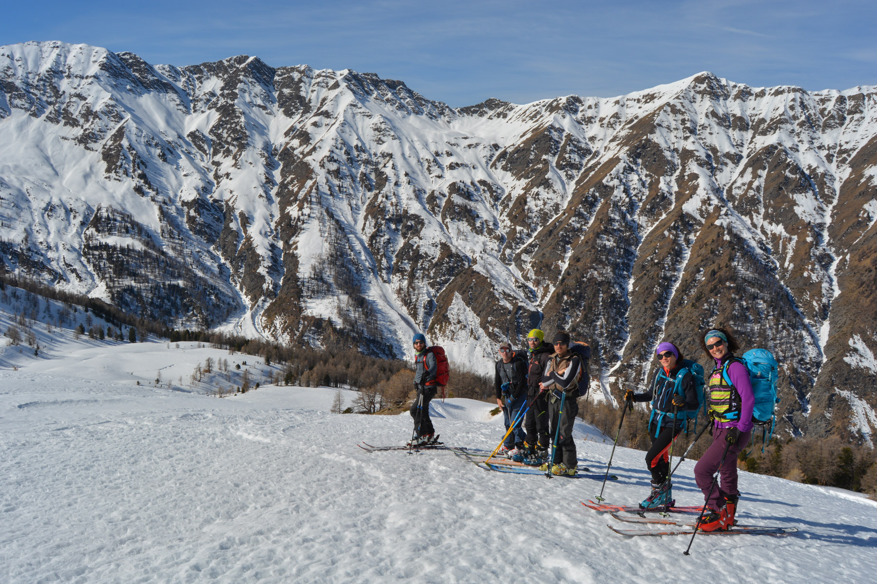
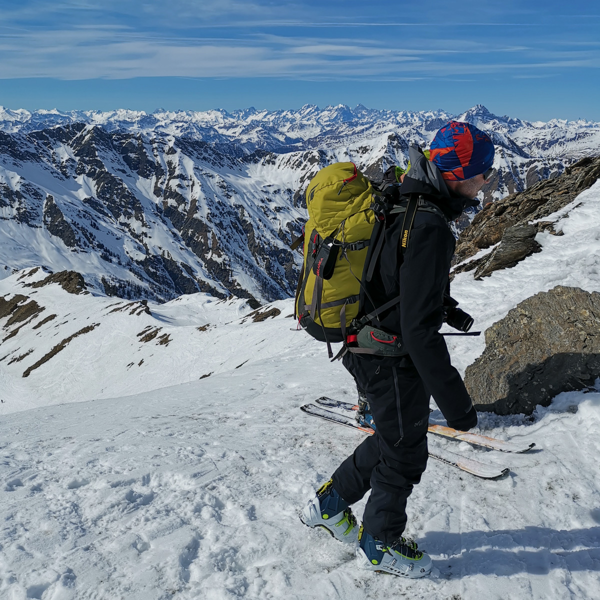
A classic in the Queyras region, just 2 steps from the Italian border, Pic Ségure is a very popular race. The ascent leads through the heart of a wide, high-altitude valley, up under the Pic de Maloqueste, the Pic de Chabrière and then around to finish on the Pic Ségure at almost 3000m. The route is fairly long and the gradient significant, but the panorama at the summit is well worth the detour. The north-west-facing valley offers some nice, wide, open slopes on the way down. The weather was fine, but the snow a little less so, especially in the lower section...
❱❱ Technical summary
Type ✦ Ski touring
Location ✦ Ristolas, Abriès
Region ✦ Queyras, Southern Alps
Country ✦ France
Direction ✦ Northwest
Length ✦ 6.8kms
Vertical rise ✦ 1360m
Max altitude ✦ 2990m
Difficulty ✦ R-2.3-E1
Duration ✦ 4h to 5h
Interest ✦ ★★
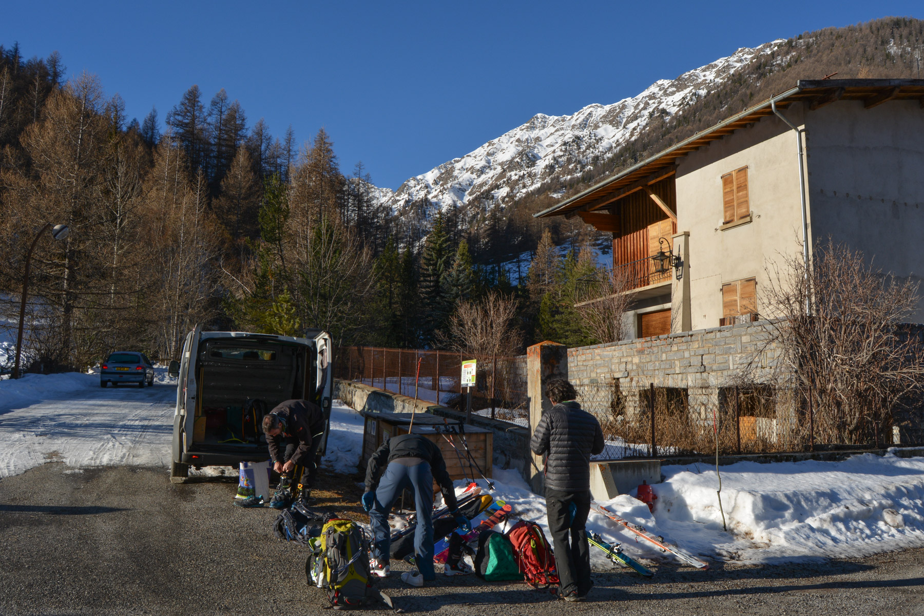
❱❱ Access to the place
Head for Ristolas on the D947 shortly after Abriès. Climb to the top of the village at Maison Neuve to find the trailhead, which begins on a wide, snow-covered track.
❱❱ Map & topo
❱❱ Itinéraire
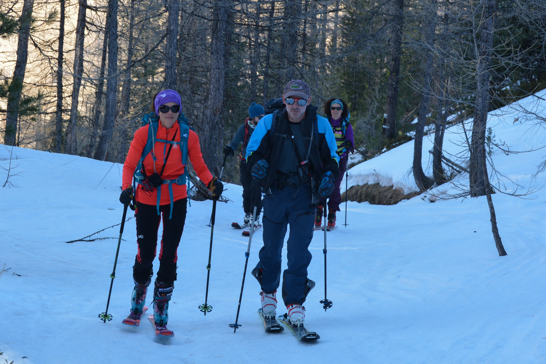
Take the snow-covered track that winds up alongside the resort's old slopes. After 3 bends, there's a fork, turn left to climb up. You then leave the track for a narrower path through the forest.
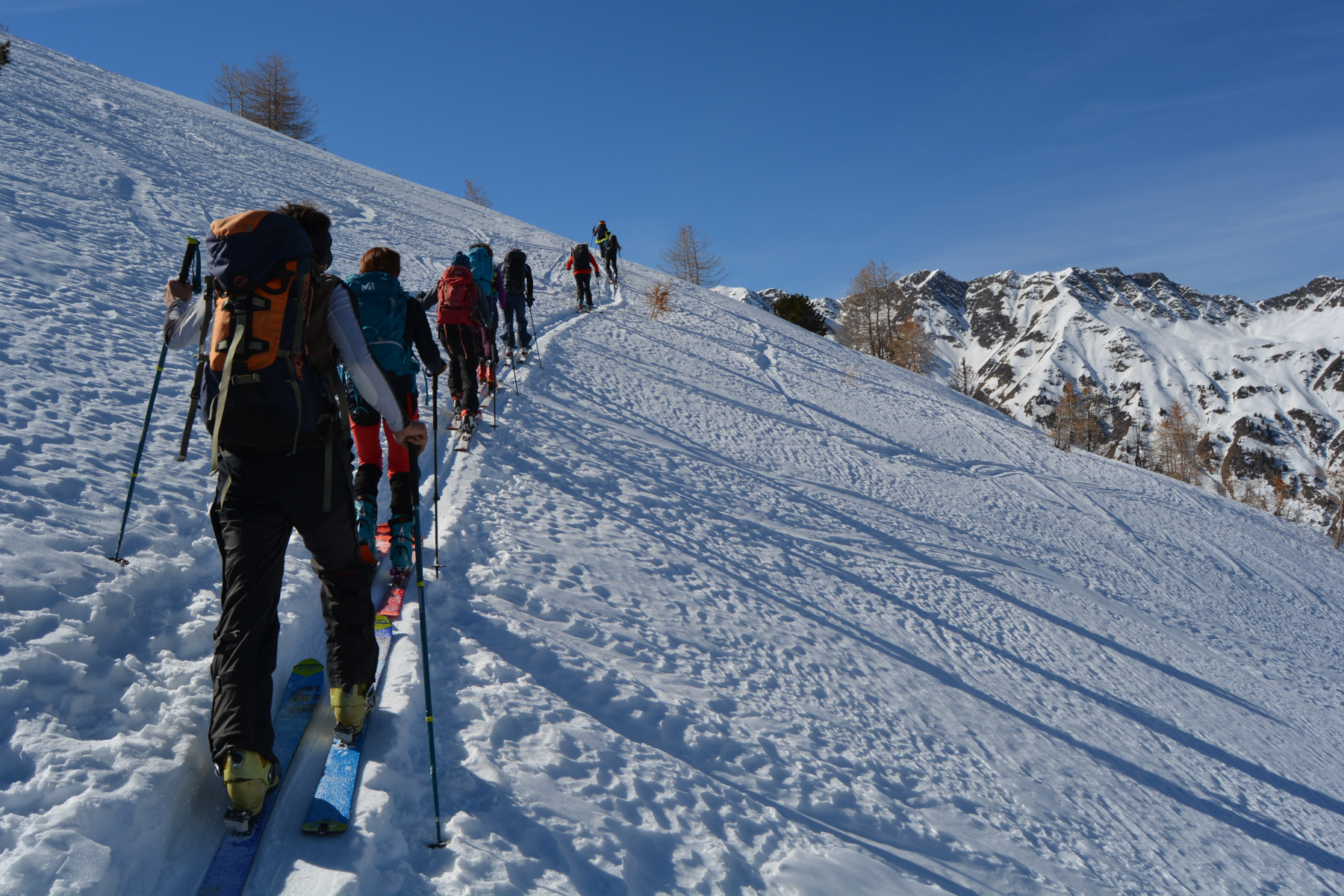
A big but easy race, an obvious and well-trodden route, with almost 1400m of ascent and some 7 kms of climbing. Knives may be required on the final section, with a few steep northern sections.
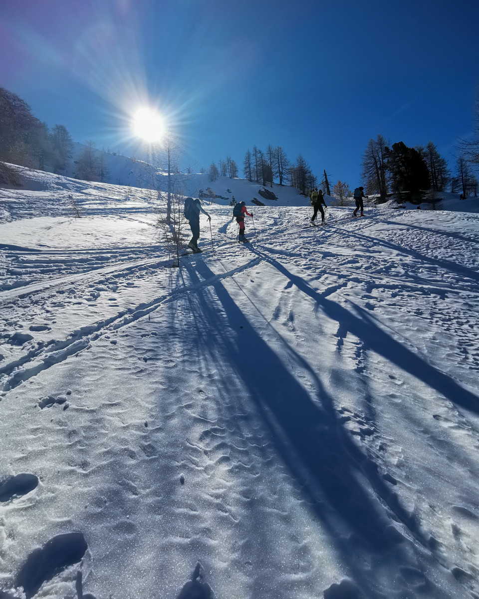
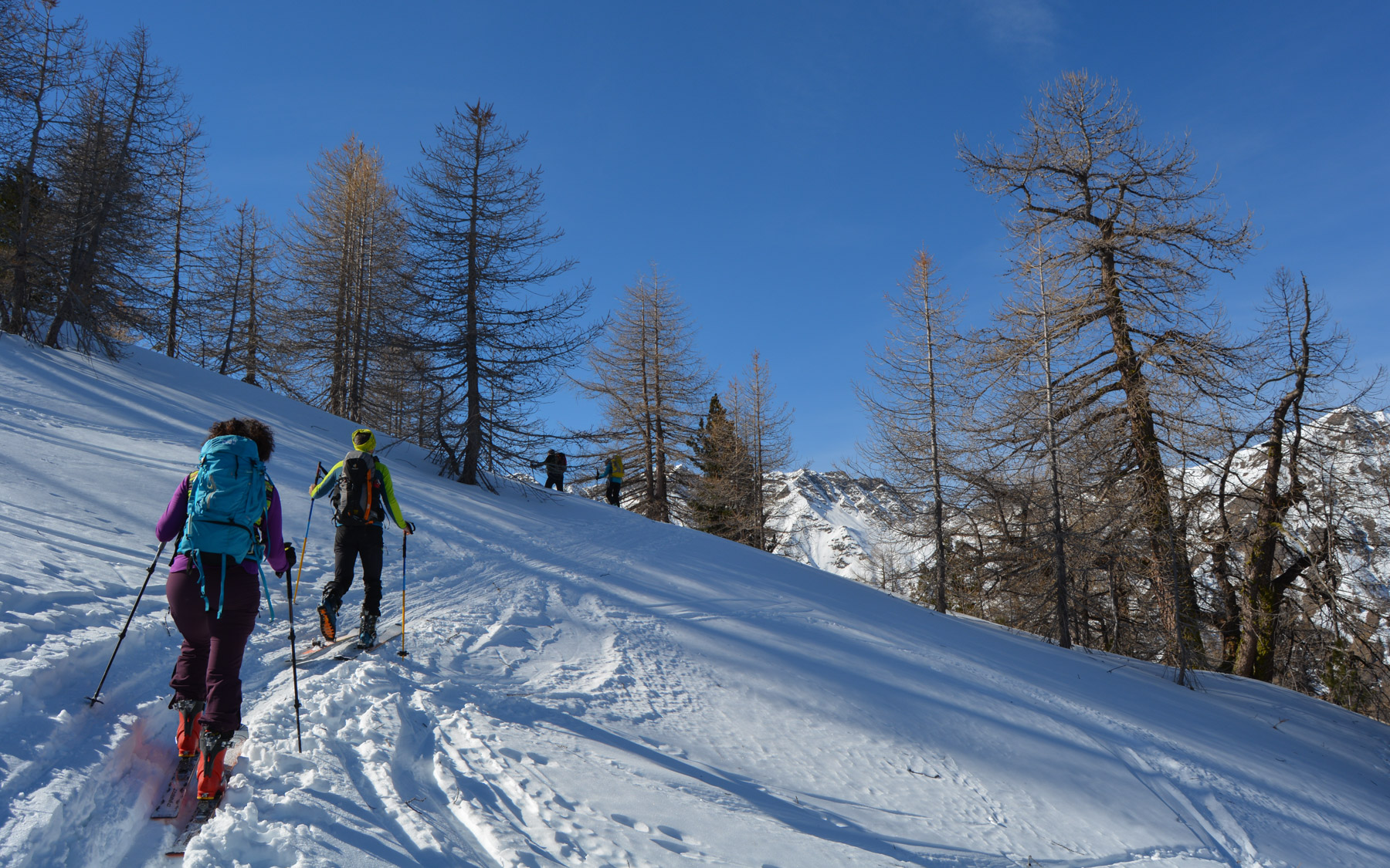
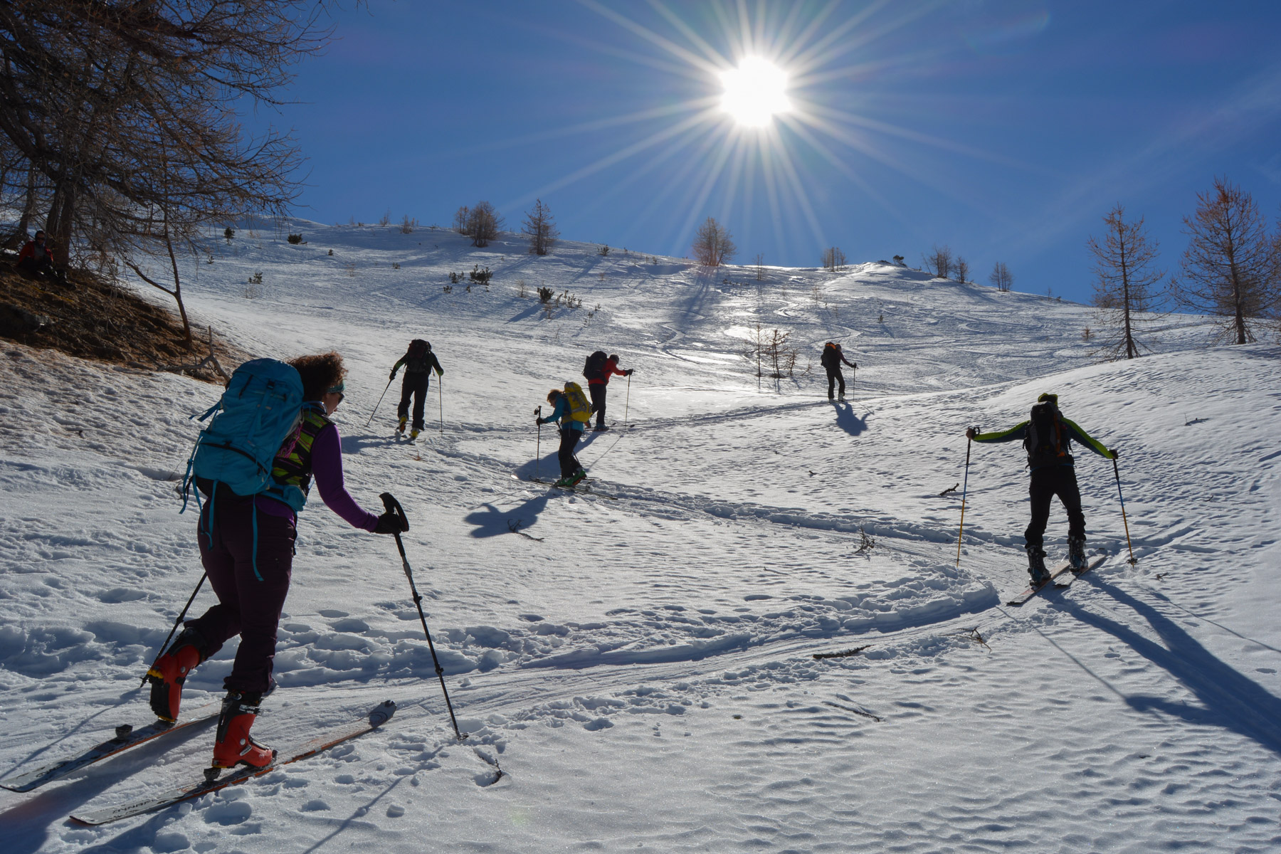
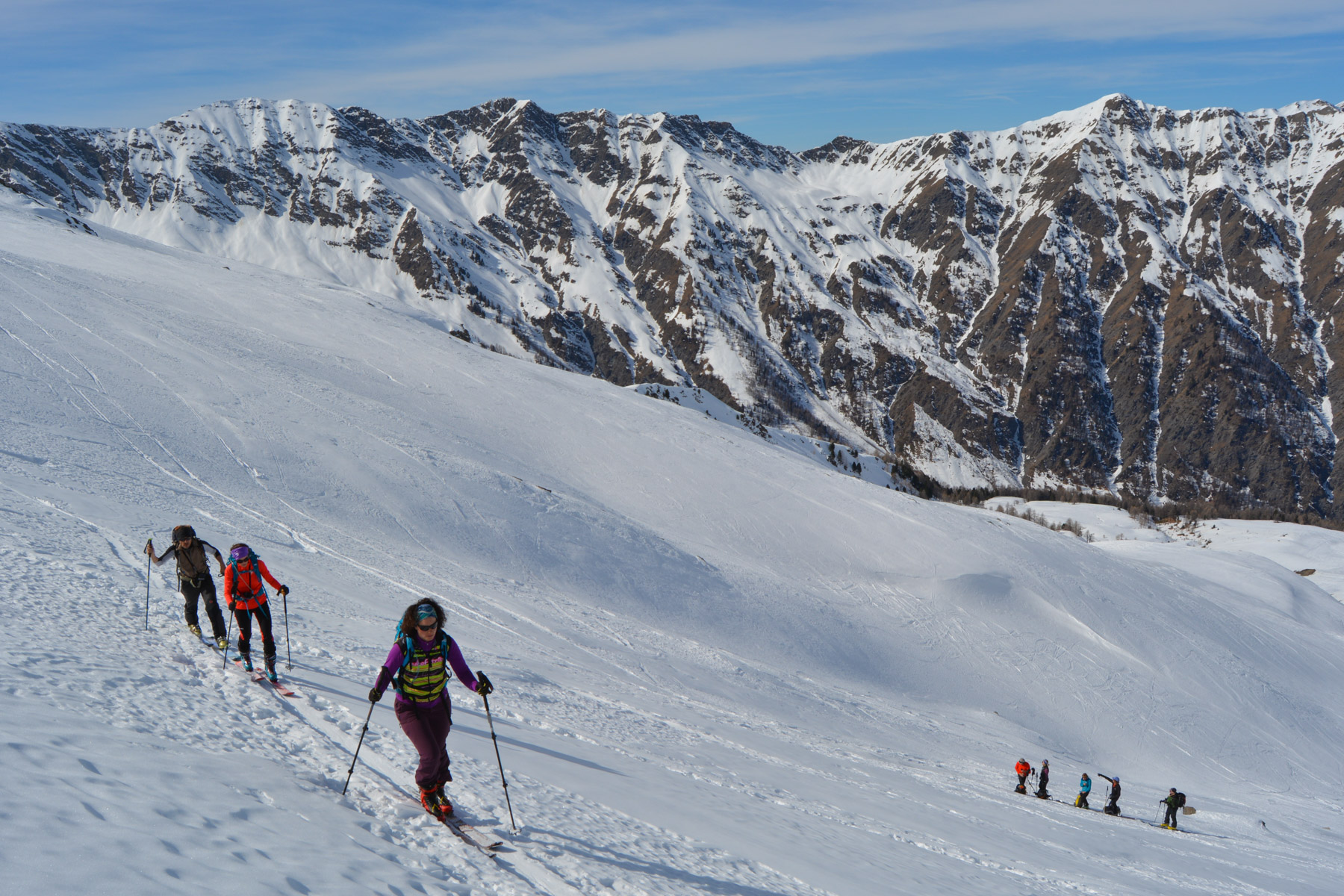
Climb through the forest on a fairly steep but gradual trail, which is very pleasant. Little by little, you discover the walls on the west side. The climb is fairly long but not unpleasant, and you gradually emerge from the forest to discover the large upper valley and the summits.
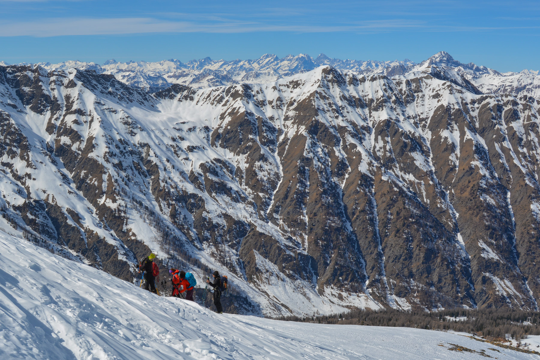
Climb up the south-facing slope on the left to follow the Cayre de l'Ours. Further on, you pass under the Pic de Maloqueste and then, by tackling short switchbacks without crossing the valley, you climb up to the Pic de Chabrière. Without climbing to the summit, stay on the pass between Chabrière and Ségure, and begin the traverse.
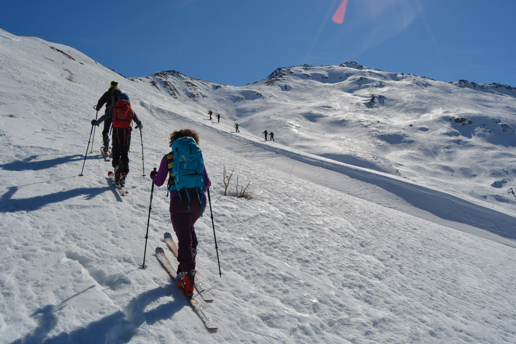
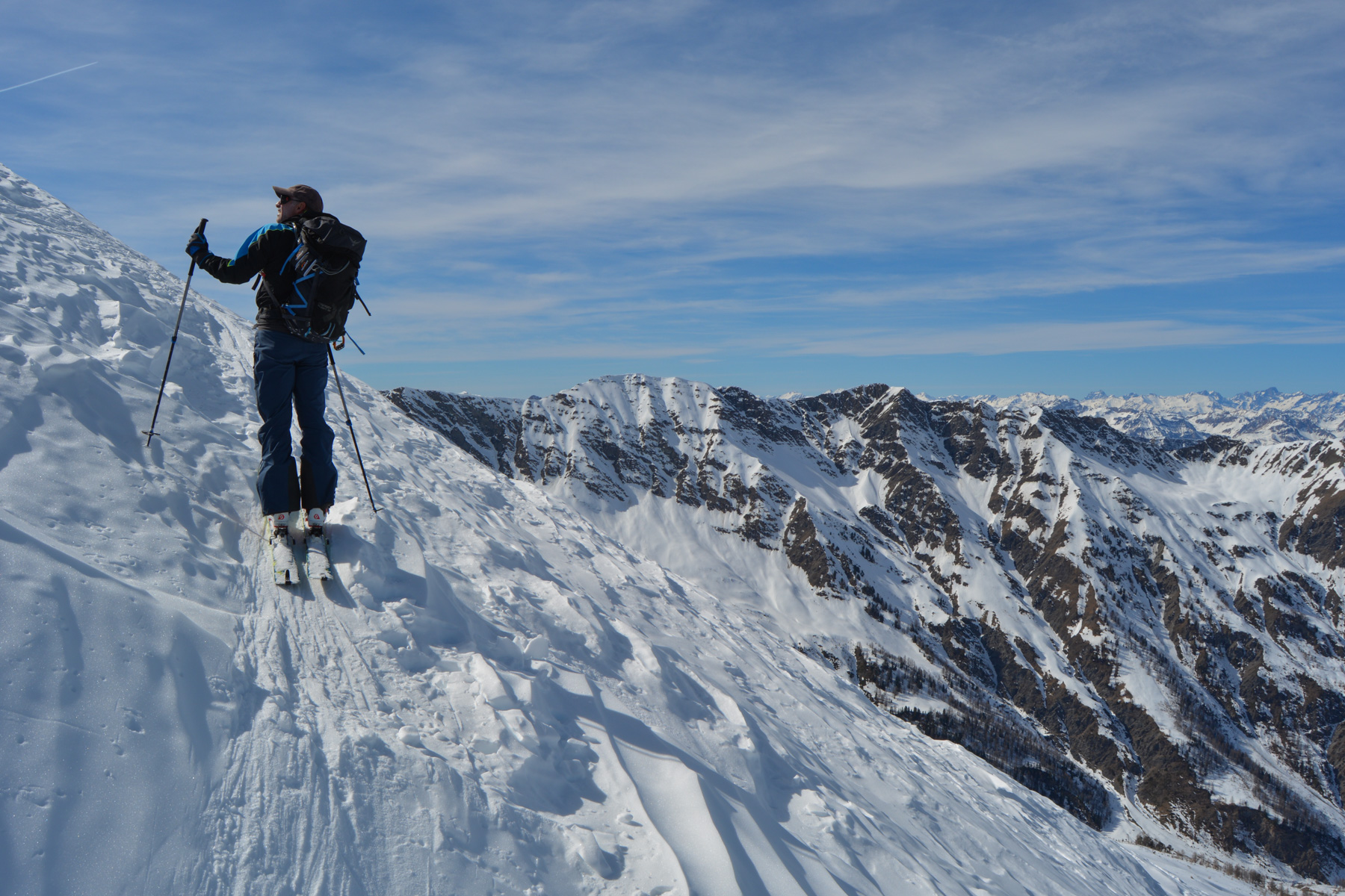
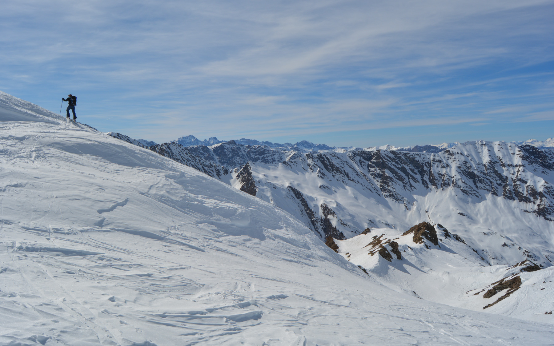
The traverse takes you under the Pic de Ségure, with a few overhanging sections on the north-west face that can be hard (knives). At the end we climb back up to pass a 1st shoulder, then continue on to a landing above which we cross to join the ridge that eventually leads to the summit. This passes under the summit on the south face and ends up on the ridge 30m from the summit, which can be reached on foot.
Many options for descending the valley, depending on snow conditions and time of day. At the very bottom, keep to the right to avoid descending too far into the fir trees, and cross into the woods to join the forest path.
Then there's a long descent, with a series of mini-turns, down through the forest and back on the snow-covered trail from the start to the bottom.


Leave a Reply