


TOPO Hiking | CLIMBING7.COM
Publié le
 Partager sur WhatsApp
 Partager sur Twitter
Partager sur Instagram
Partager sur Twitter
Partager sur Instagram

 Partager sur Facebook
 Imprimer le topo
 Laisser un commentaire

In the heart of the High Atlas, overlooking the happy valley of the Ait Bouguemez, the jebel M'Goun range forms a natural frontier between the mountainous highlands and the desert of the deep south. After 2 days of snowfall, the massif is a sight to behold, but the ascent to the summit at over 4000m is tricky, forcing us to turn back at the start of the final ridge. So we're off again for better conditions, even if the scenery was exceptional. A magical trek and encounter in Berber country!
❱❱ Technical summary
Type ✦ Hiking
Location ✦ Arrouss
Region ✦ Haut-Atlas
Country ✦ Morocco
Length ✦ 16kms (J1), 29kms (J2)
Difference in altitude ✦ 1400m (J1), 1140m (J2)
Difficulty ✦ D (J1), TD (J2)
Max altitude ✦ 3380m (J1), 3880m (J2)
Duration ✦ 5 to 6h (J1), 8h to 9h (J2)
Interest ✦ ★★★
❱❱ Access to the place
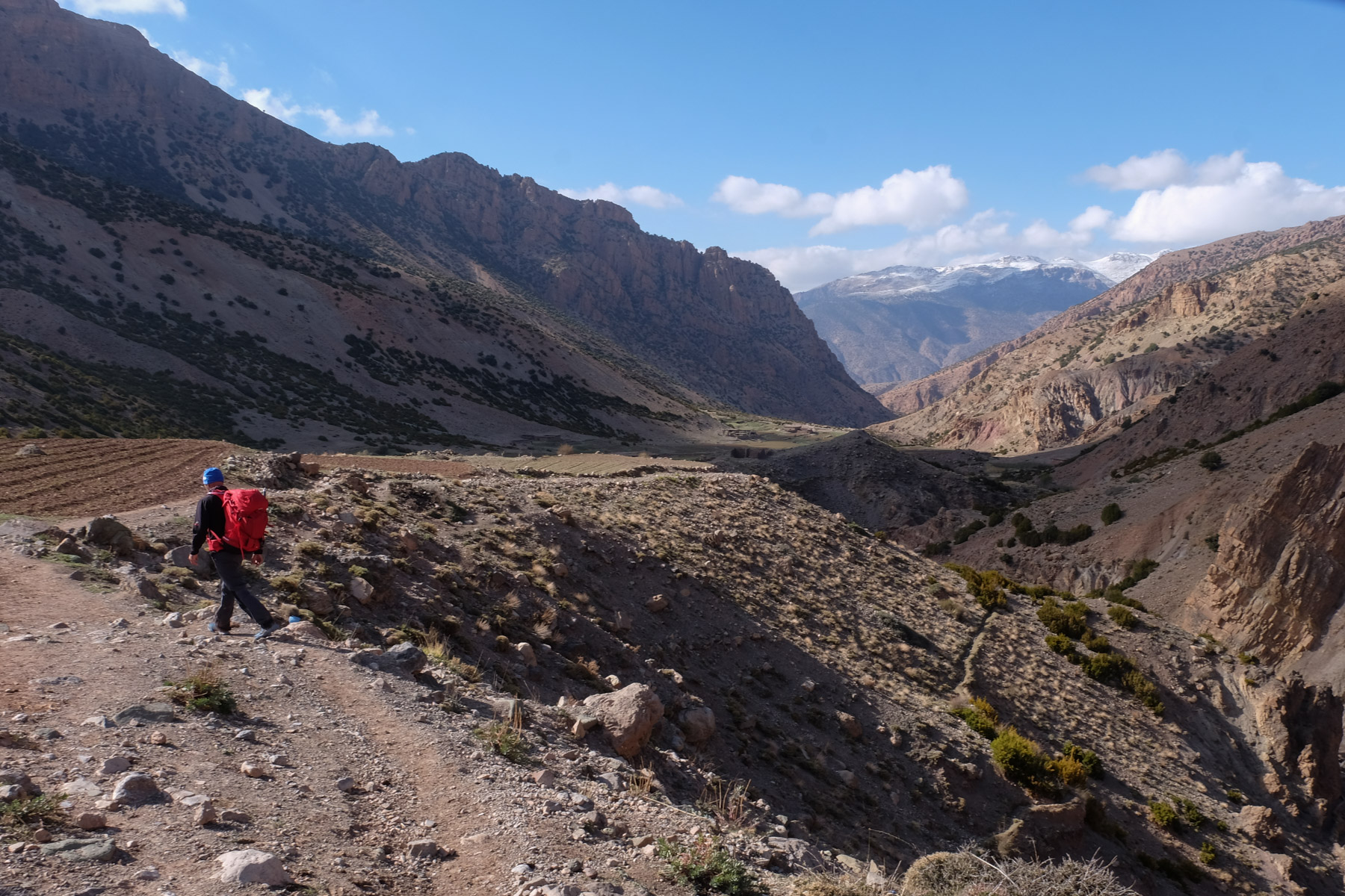
Reach the Ait Bouguemez valley either via Demnate (to the west) or Azilal (to the north). At the village of Agouti or Ait Bouguemez, take the track leading to Arrouss. Park (and stay) at the Tamazirt gite.
❱❱ Map & topo

❱❱ Itinéraire
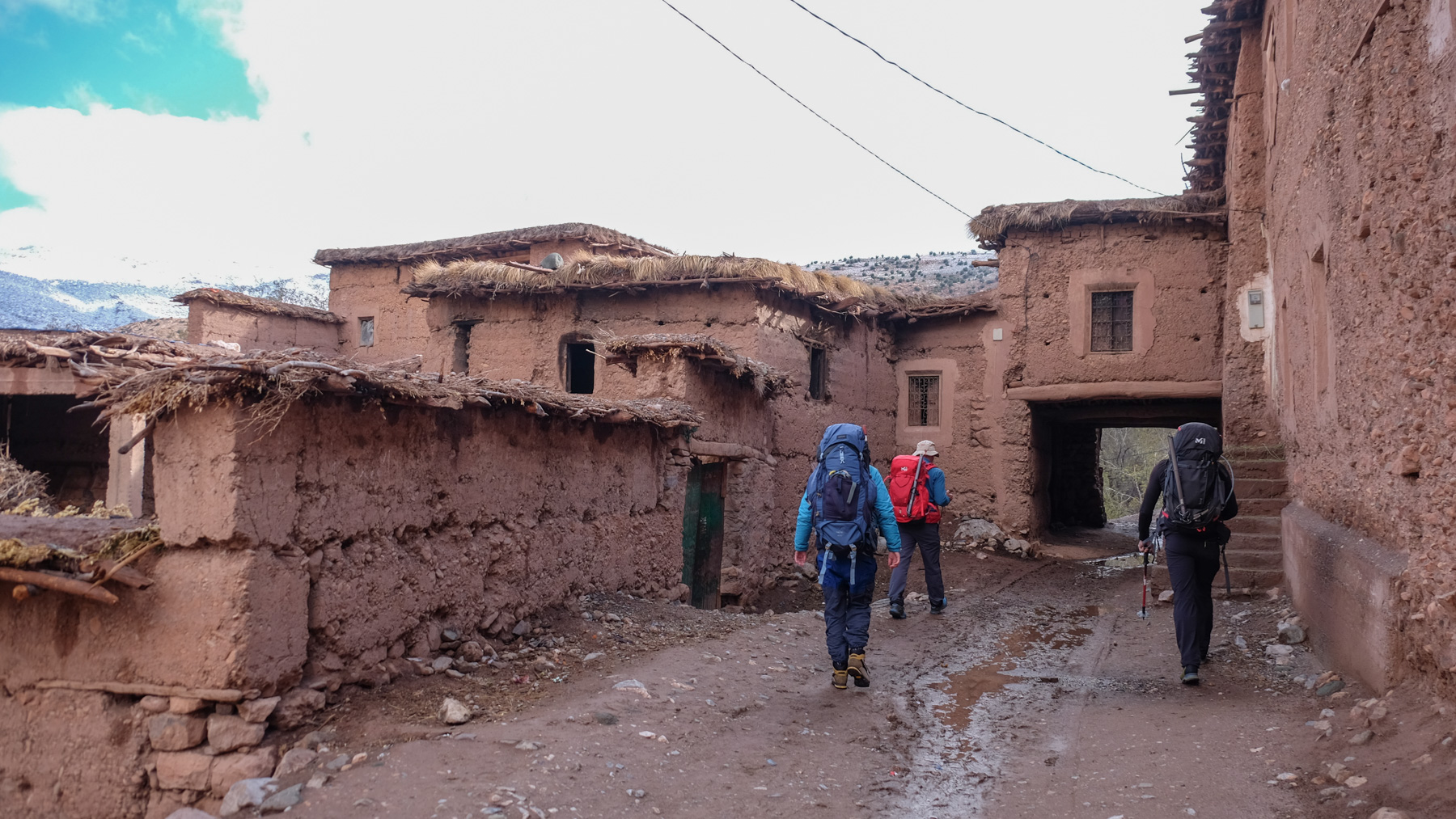
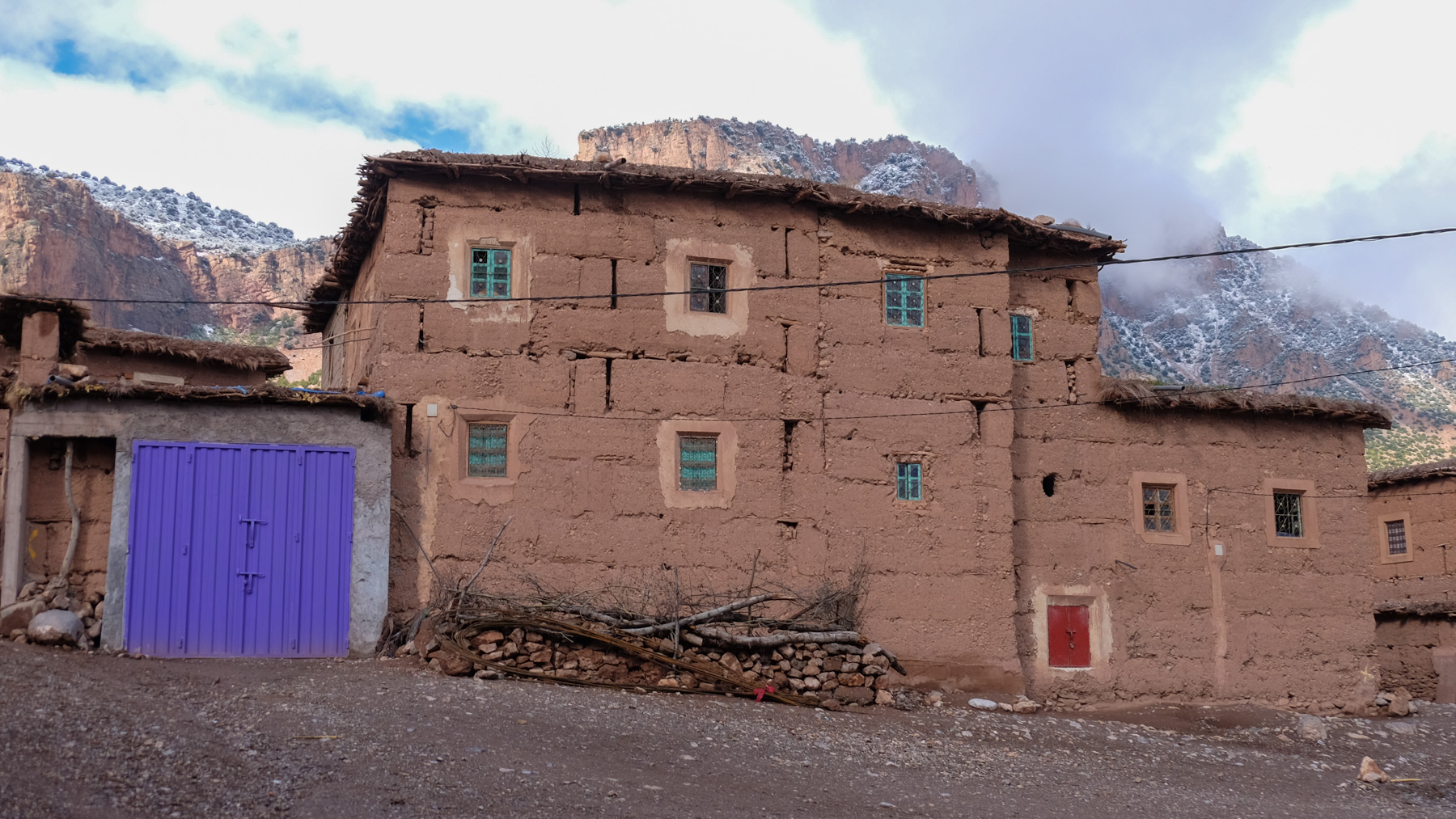
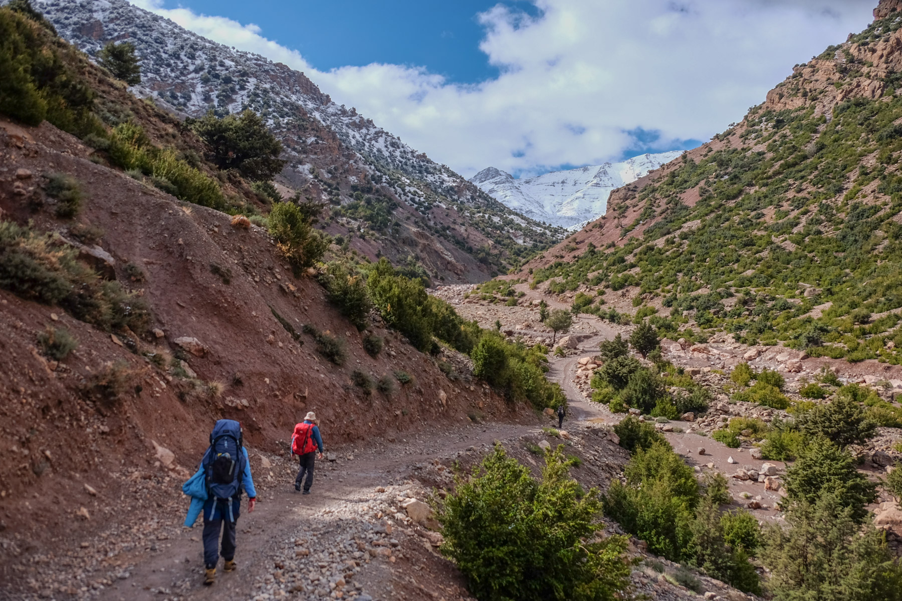
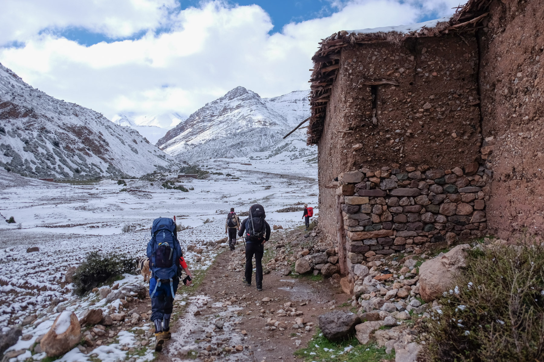
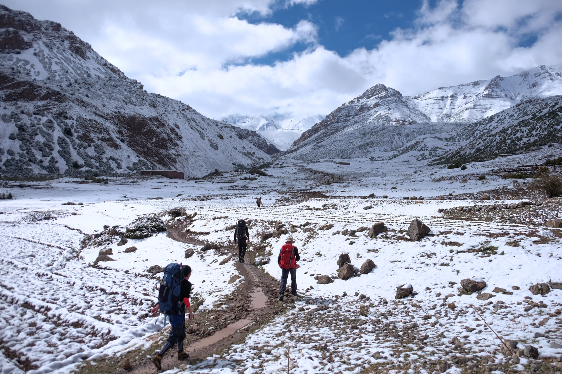
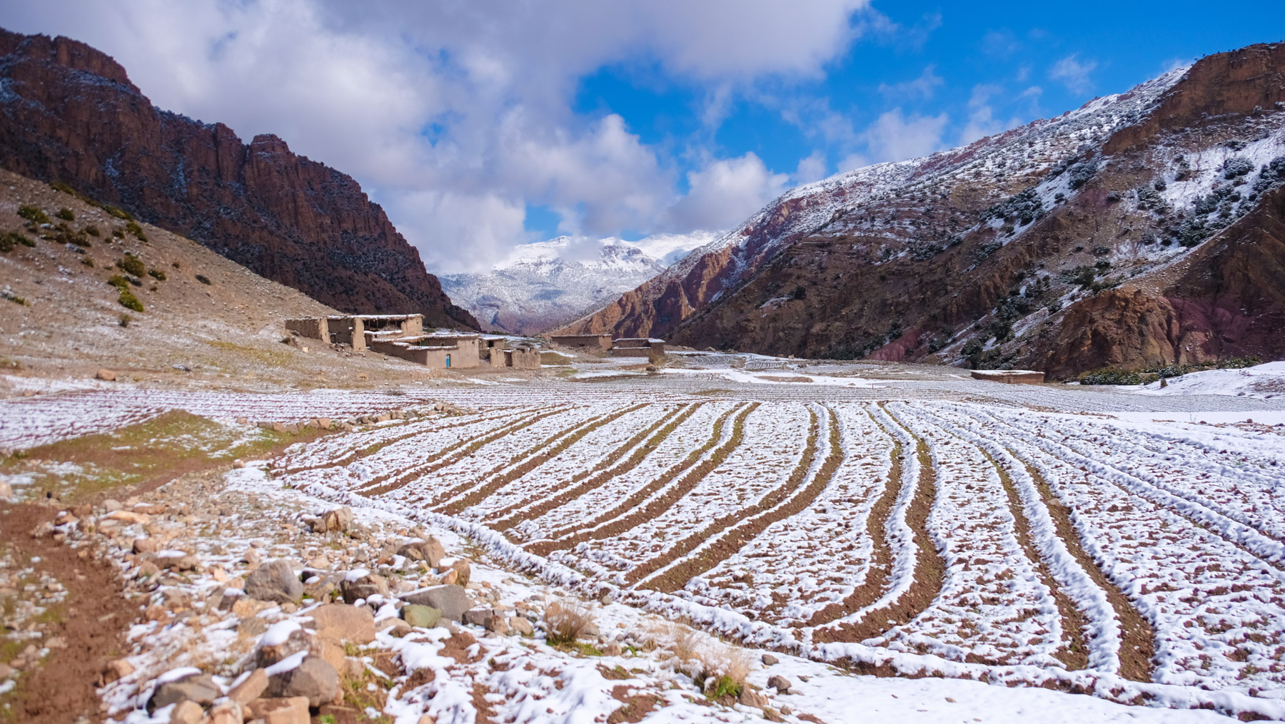
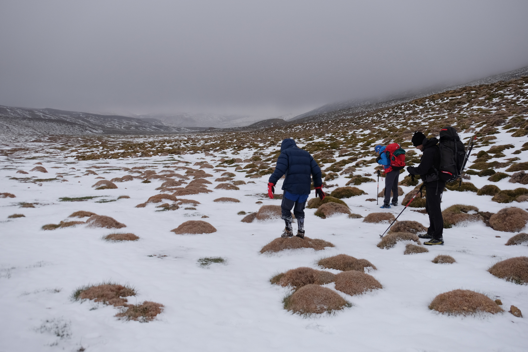
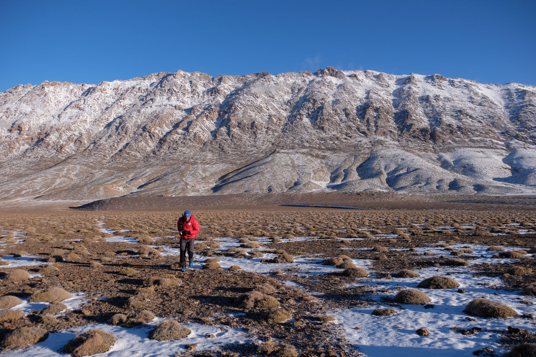
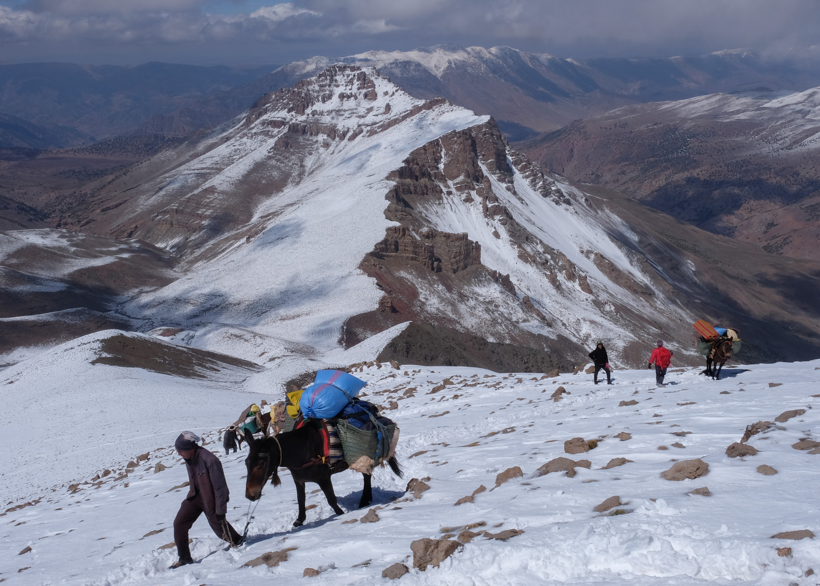
Go through the village and cross the torrent to follow the track up to the Ikkis sheepfolds. No difficulty, gradual ascent. After the initial gorges, you come out onto a more open plateau, with the M'Goun cirque already in your sights. Higher up are the Ikkis sheepfolds, a lovely gite for a tea break.
Allow 2 days for the ascent to the summit of M'Goun: day 1 to reach the Tarkeddit refuge and day 2 for the ascent and return to Arrous (a huge day!). Another option is to make the loop from the summit and return directly to Ikkis (not possible for us, given the snow).
No technical difficulties on this trek, but don't underestimate the altitude, which weighs heavily on the effort required. The trail is well marked and signposted all the way to the summit, but obviously not in our snowy situation. The hike can easily be done on your own without the help of a local guide if conditions are good.
The Arrouss gite is very good (150 Dh to date on half-board basis) but it seems preferable to sleep at Ikkis to cut down on day 1 (and the site is even nicer). Call Ahmed on +212 6 73 322 626 who manages the 2 gites in Arrouss and Ikkis, or better still, as Ahmed speaks no Arabic or Berber (!), call his brother Mohamed who lives in the Netherlands on +31 6 12439 331 or write to him in French at info@tamazirtreizen.nl.
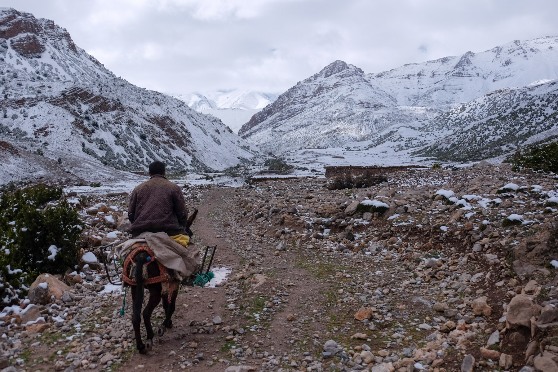
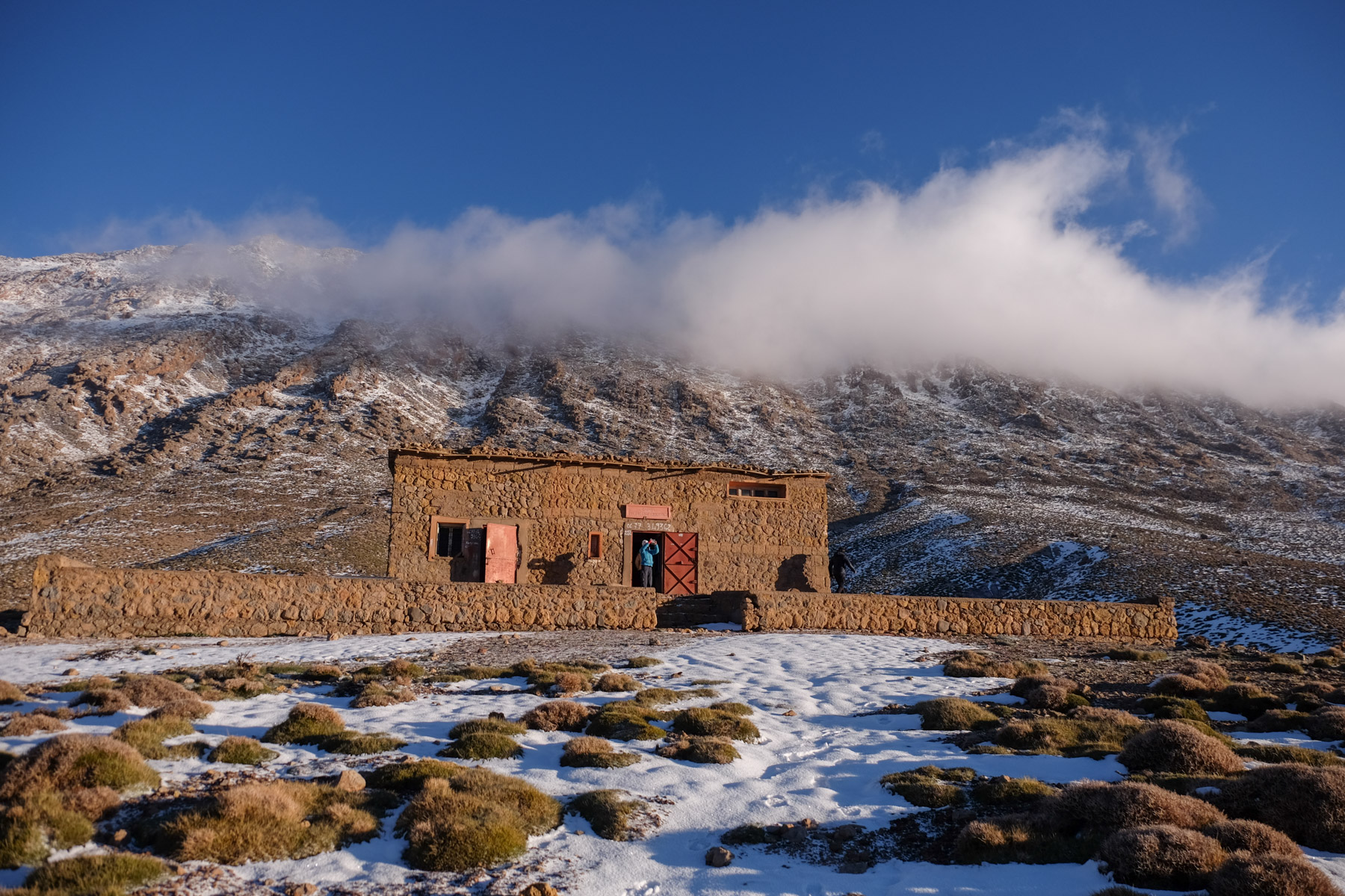
The Tarkeddit gite is run by Abdallah, who can be seen in Arrouss. More expensive (300 Dh half-board) and less well-maintained, we're nonetheless glad to find it in winter conditions... In summer, you can camp on the plateau and make do with the refuge for supplies (water, food).
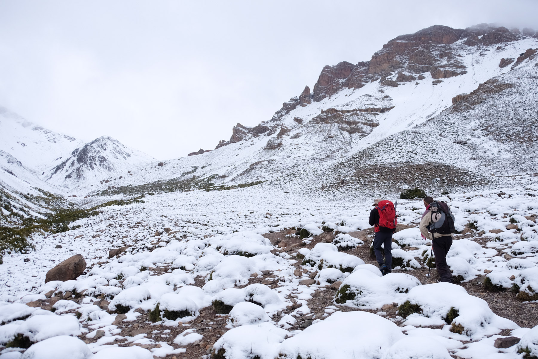
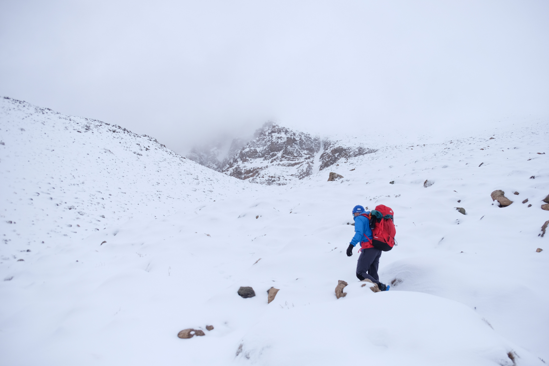
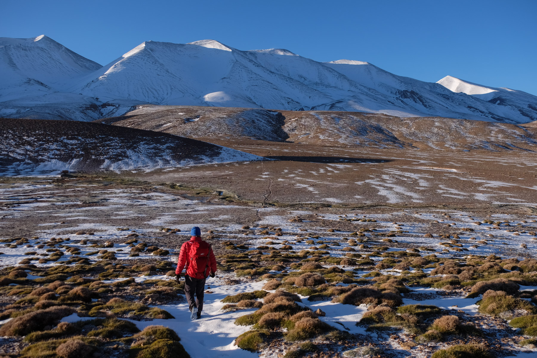
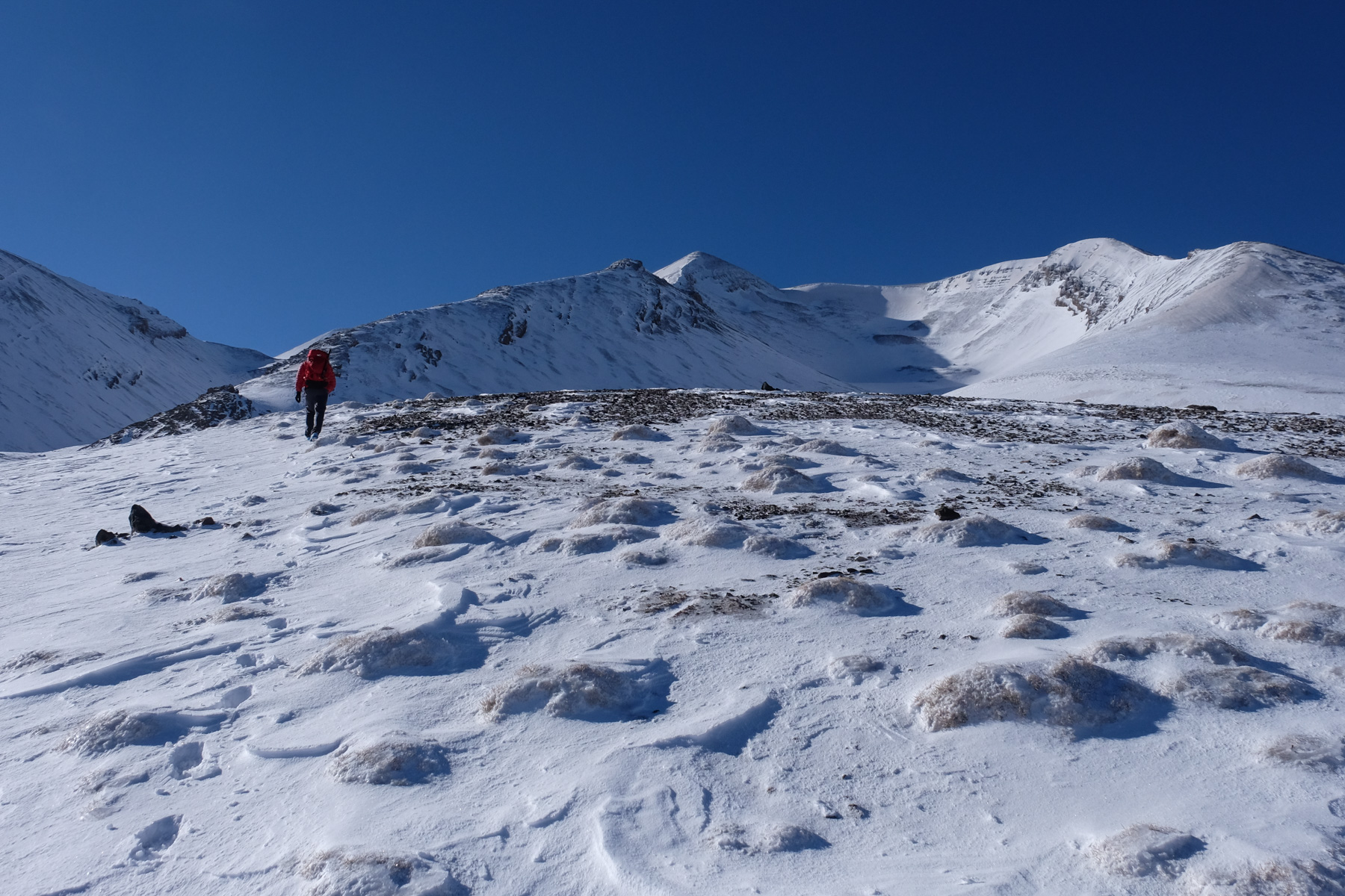
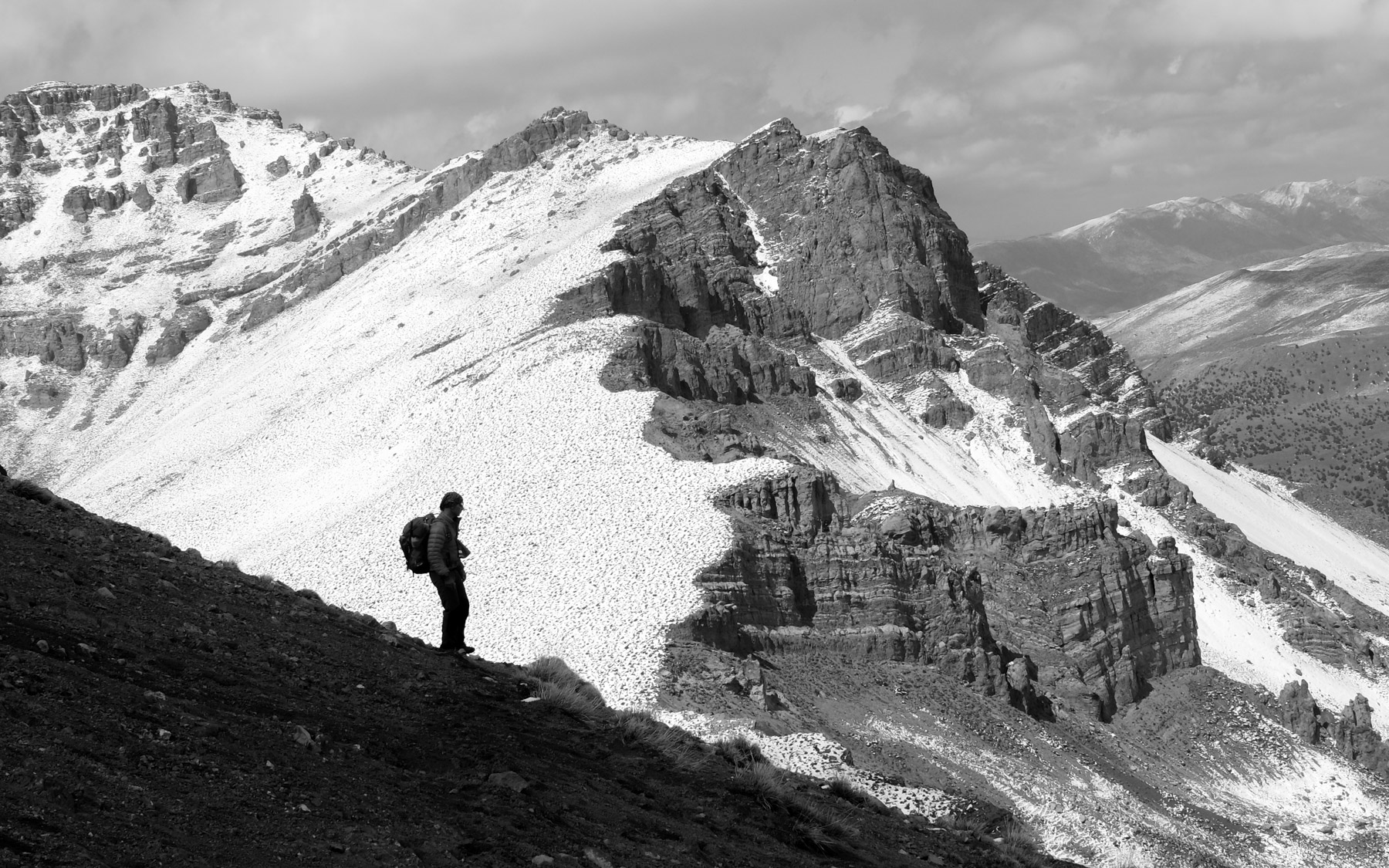
From Ikkis, climb right into the valley and at the end follow the steeper path to the Tizi n'Oumskiq pass at 2870m. Continue due south uphill to reach a shoulder at 3070m, then attack the iron bar towards the ridge. It's steep, sustained and you can feel the 3000m mark before passing the Col Aouri at 3380m to finally see the M'Goun range and the Tarkeddit plateau (weather permitting...). We then descend the plateau more or less diagonally on a more comfortable path, then walk across the great arid steppes to the Tarkeddit refuge at 2930m.
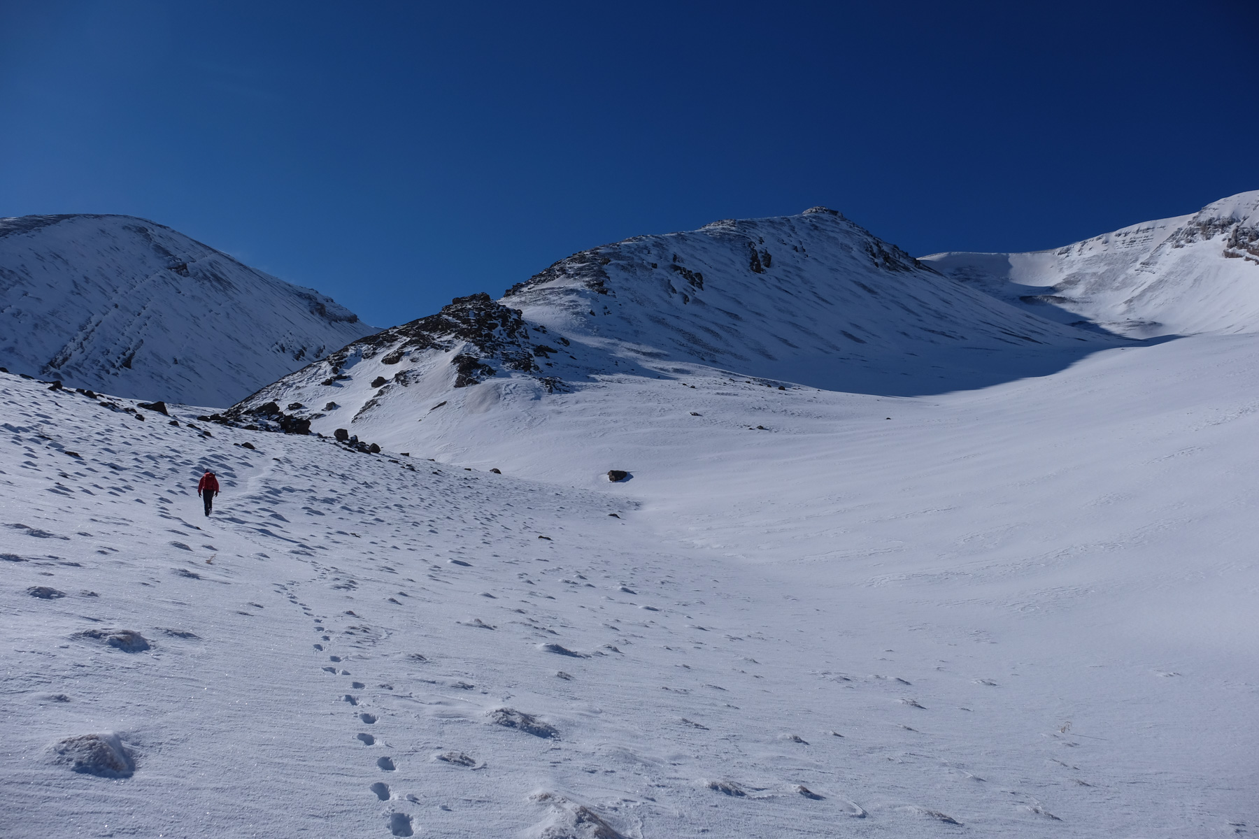
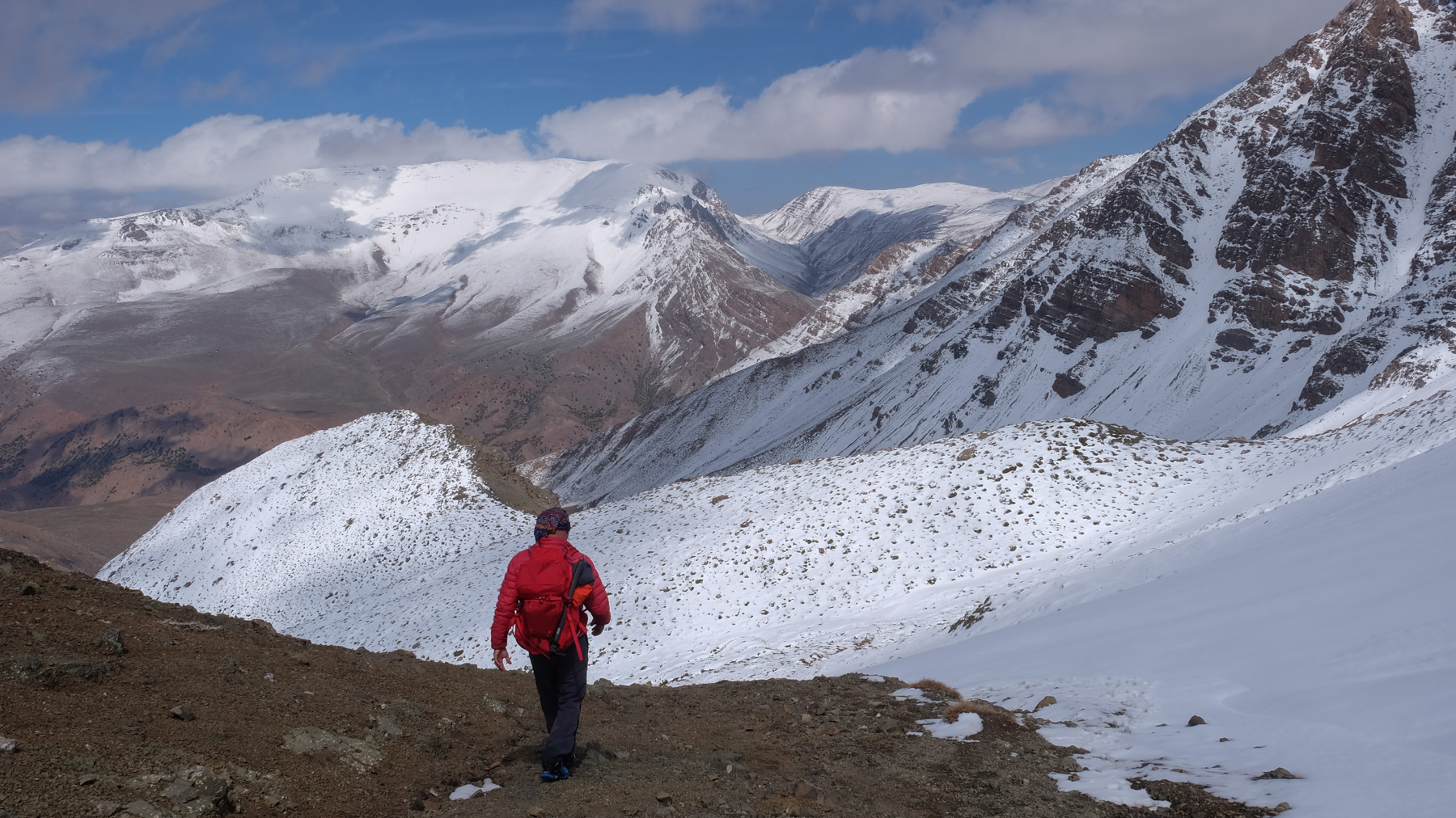
From the Tarkeddit hut, cross the plateau due south along a fairly well-marked path, then turn slightly east to climb the first slopes. Aim for the 3rd valley on the left, which is easy to reach. Climb it and finish by exiting on the left flank on a kind of ramp in a scree. Exit above at 3800m and you can see the summit and the ridge leading to it. You have to keep going to reach the final ridge (here, we've turned around). The ridge is long, and the local guide has given us a 2-hour walk on dry ground.
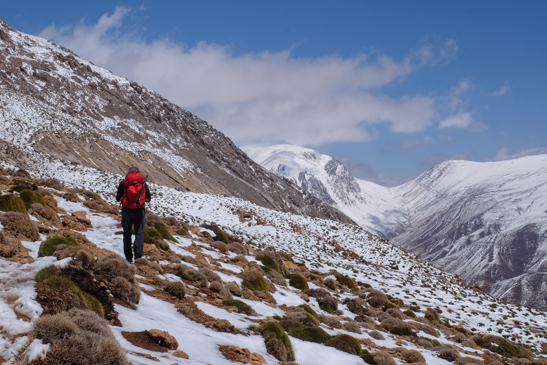
2 options: either retrace your steps to return to the plateau and cut off without going back via the Tarkeddit refuge. A big day ahead, with almost 30 kms on the clock and over 2500m of negative altitude difference!
Or try the loop via Tizi n'Ougmar and Tizi n'Tanout to return directly to the Ikkis sheepfolds (see topo above). Apparently a well-marked path in summer, but very difficult to find if snow-covered.


Leave a Reply